







Hut path Britannia Hut via Felskinn - Egginerjoch

Úroveň obtížnosti: T4
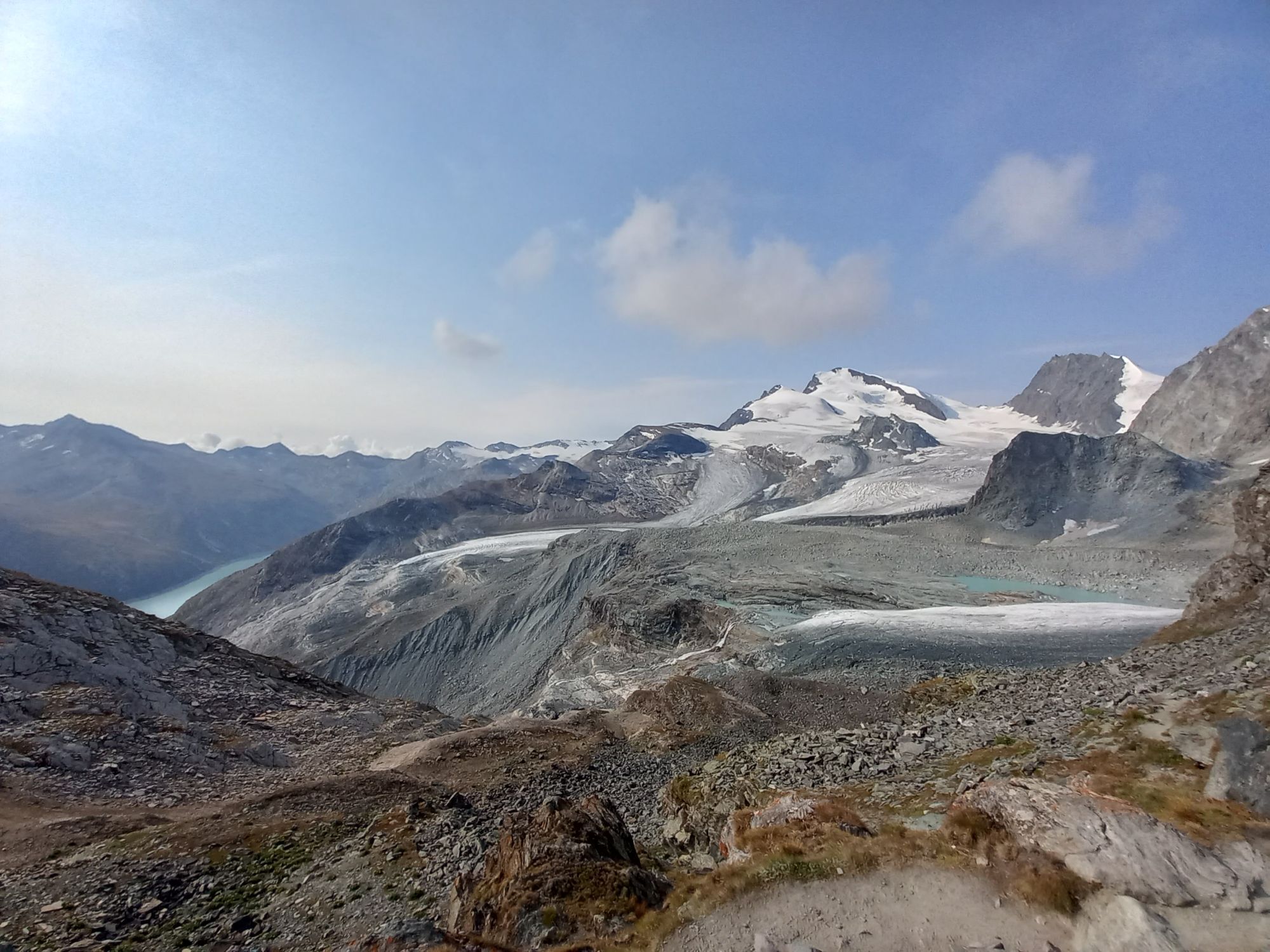
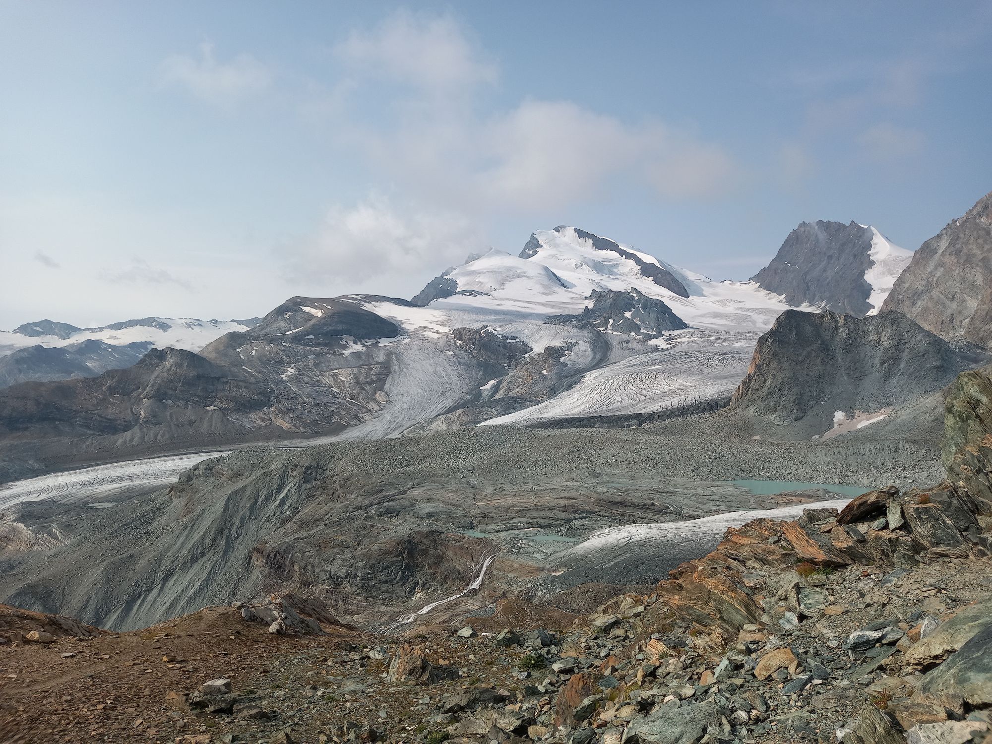
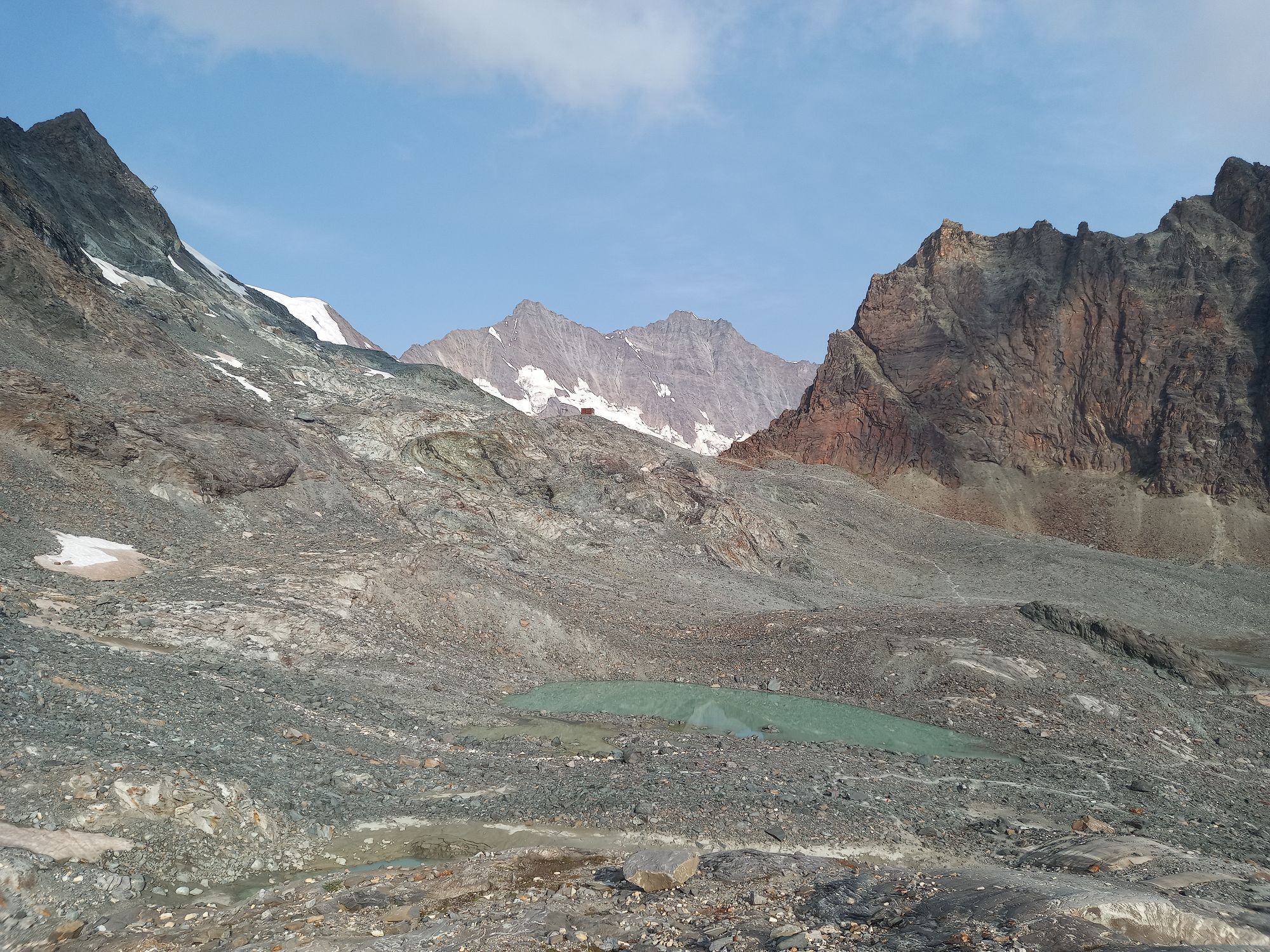
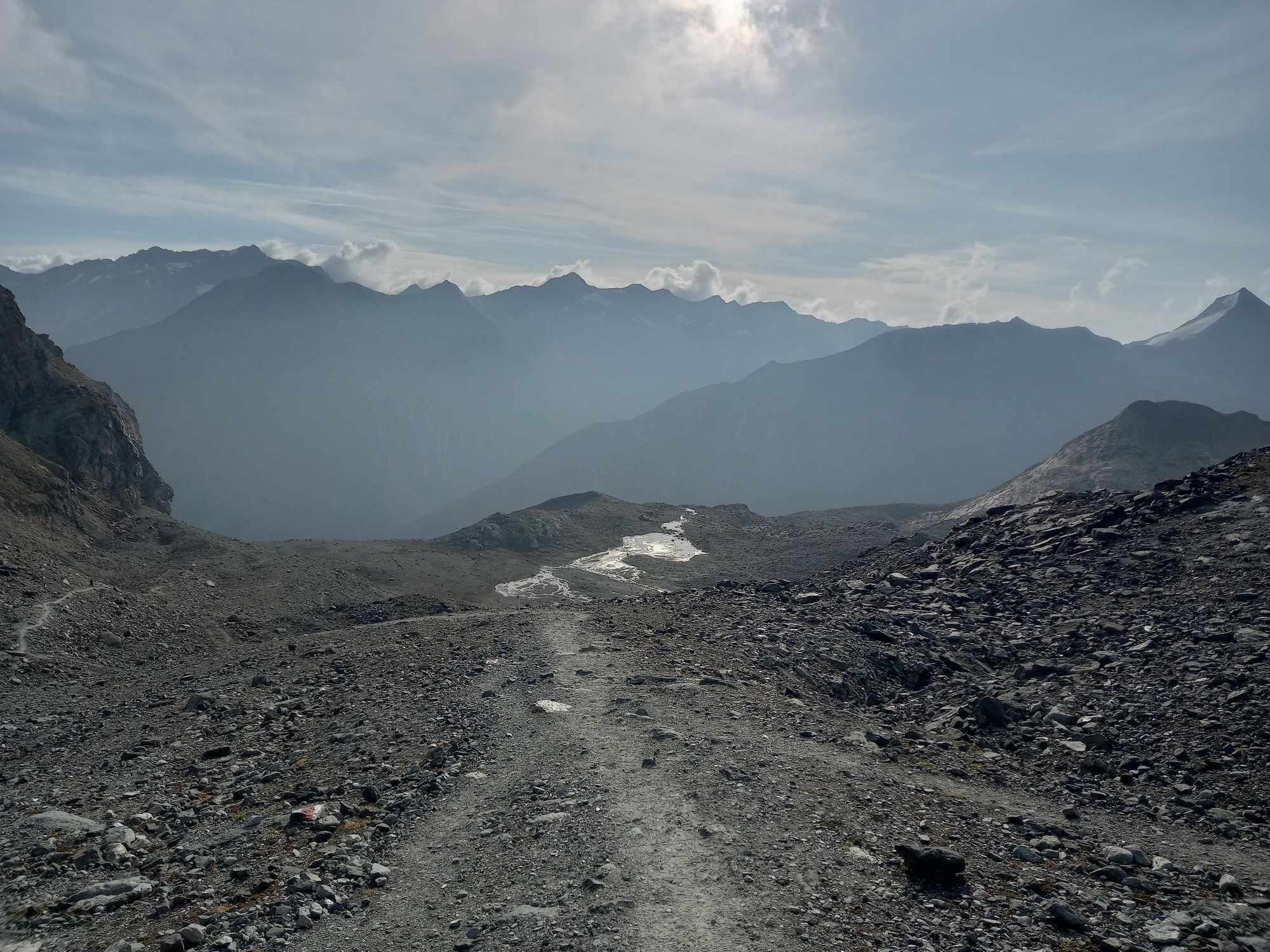

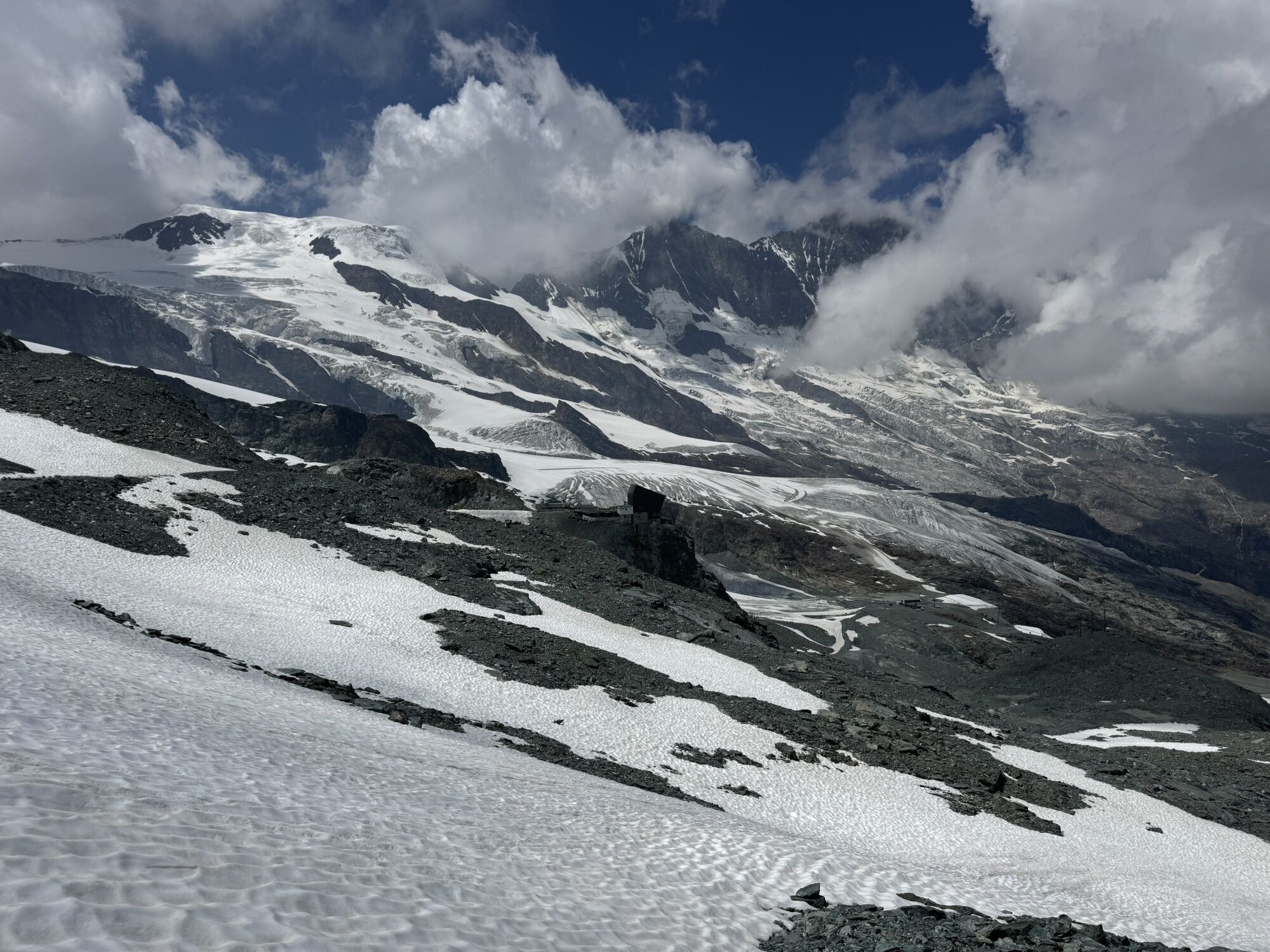
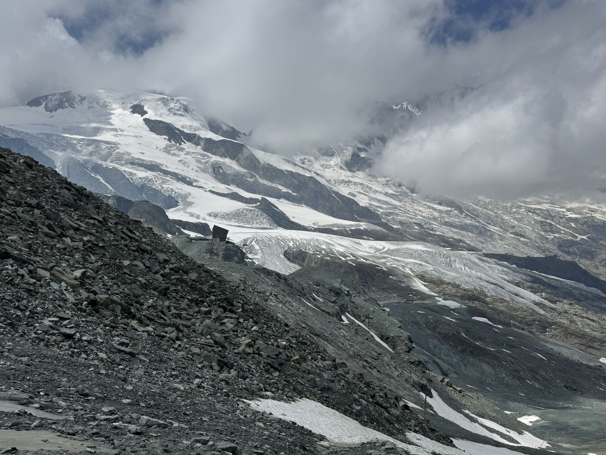
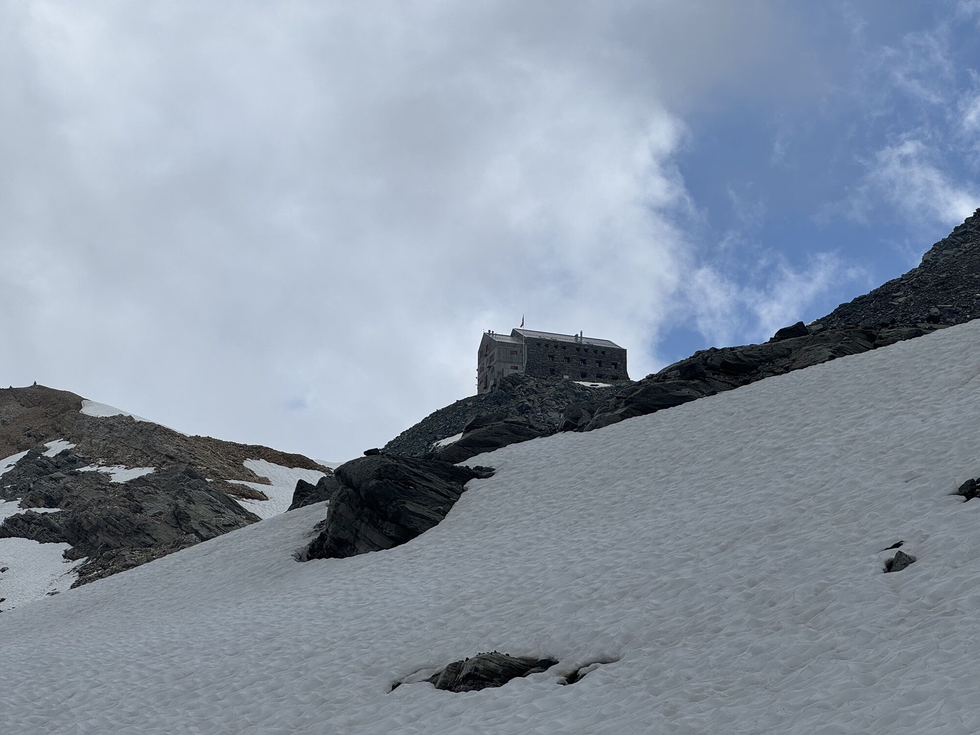
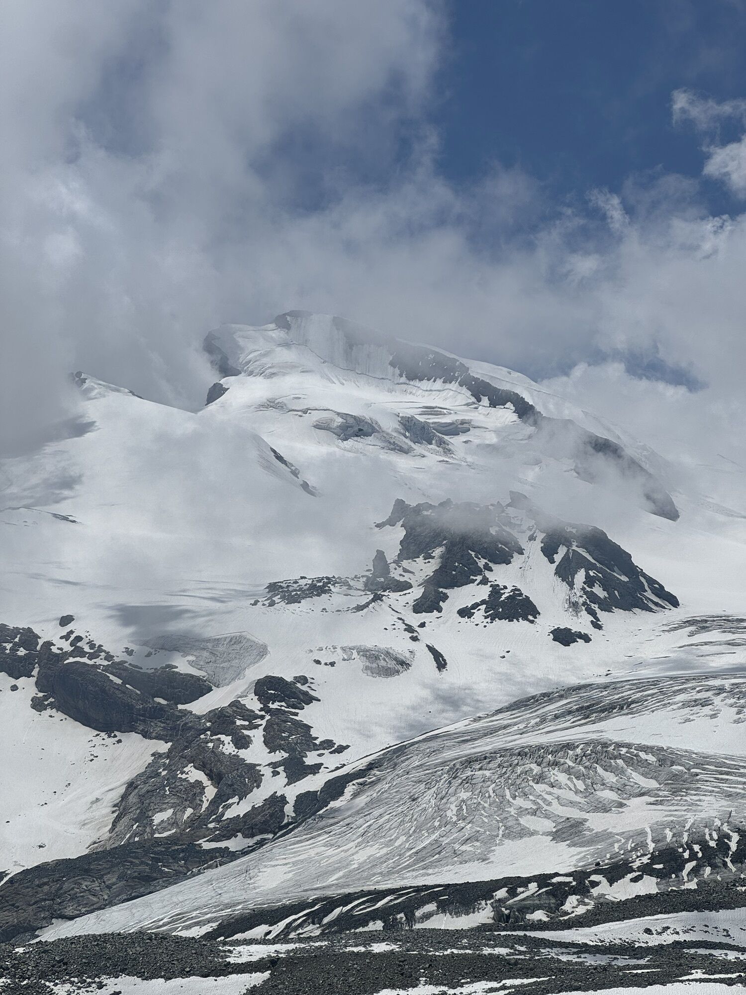
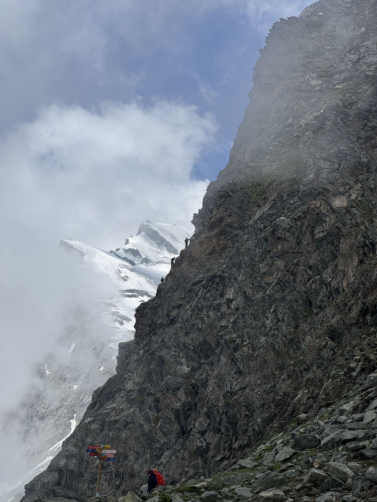
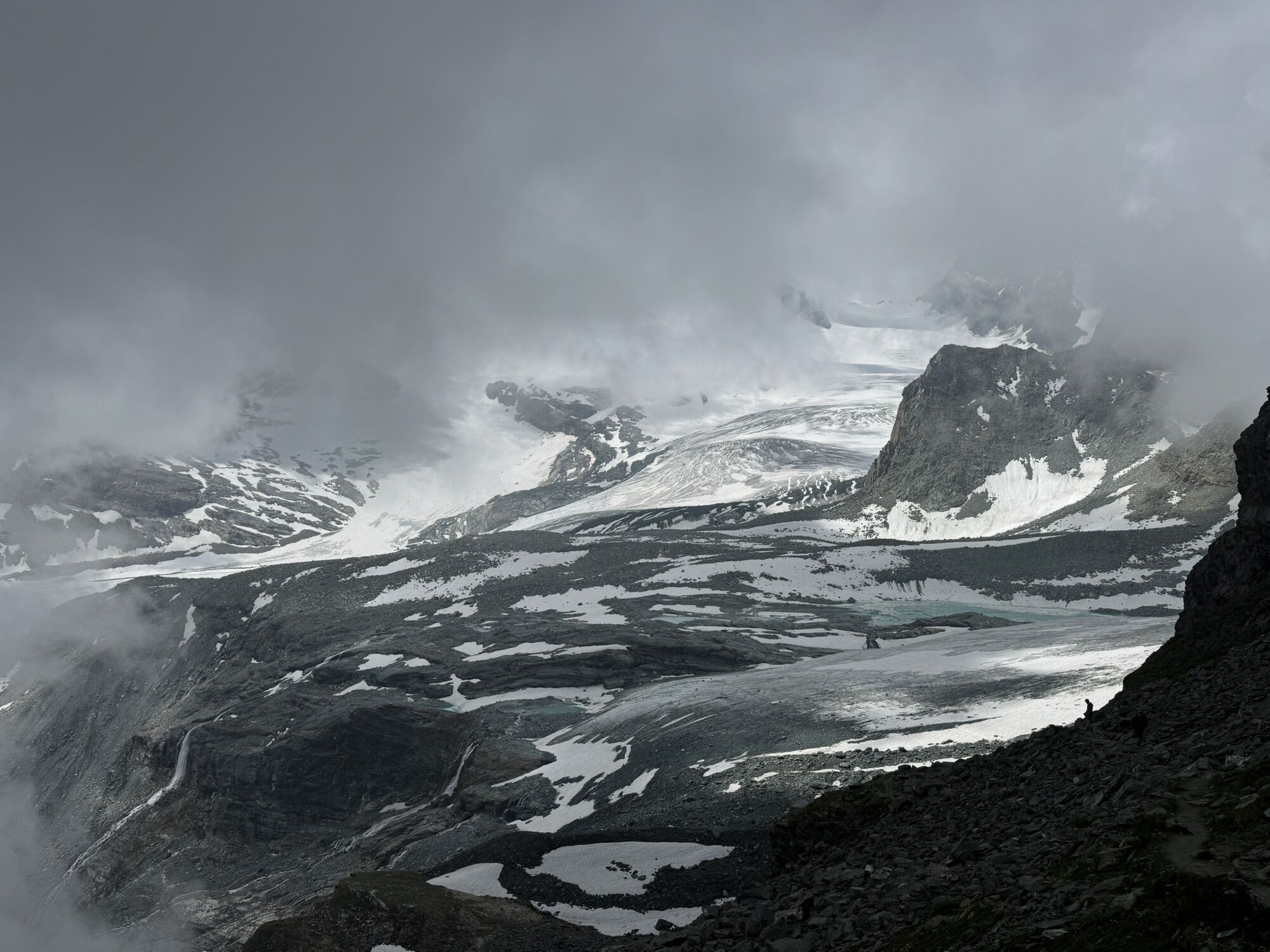
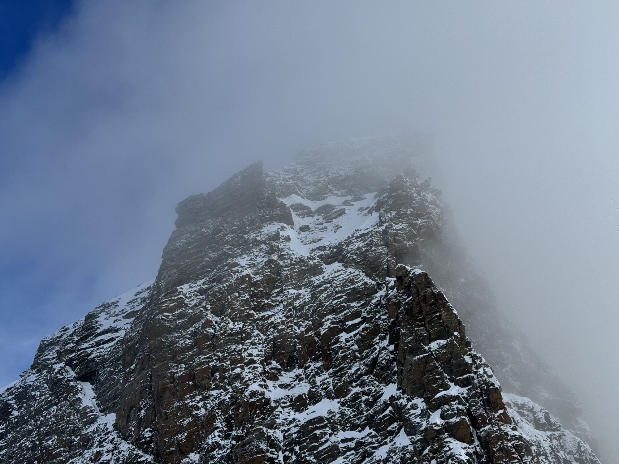
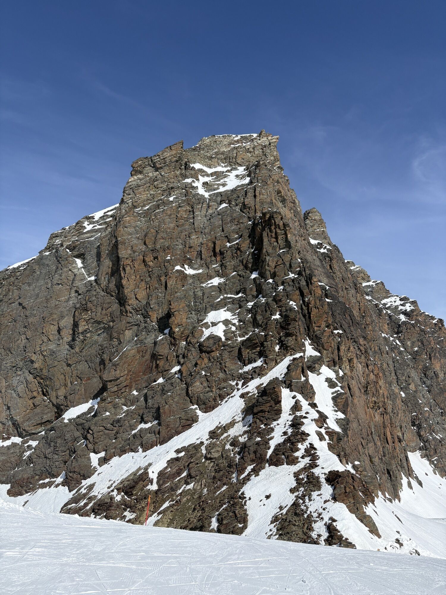
The path starts at the upper station of the Felskinn cable car and leads eastwards from the terrace of the Felskinn mountain restaurant to the Egginerjoch. Please pass this section quickly, as there is...
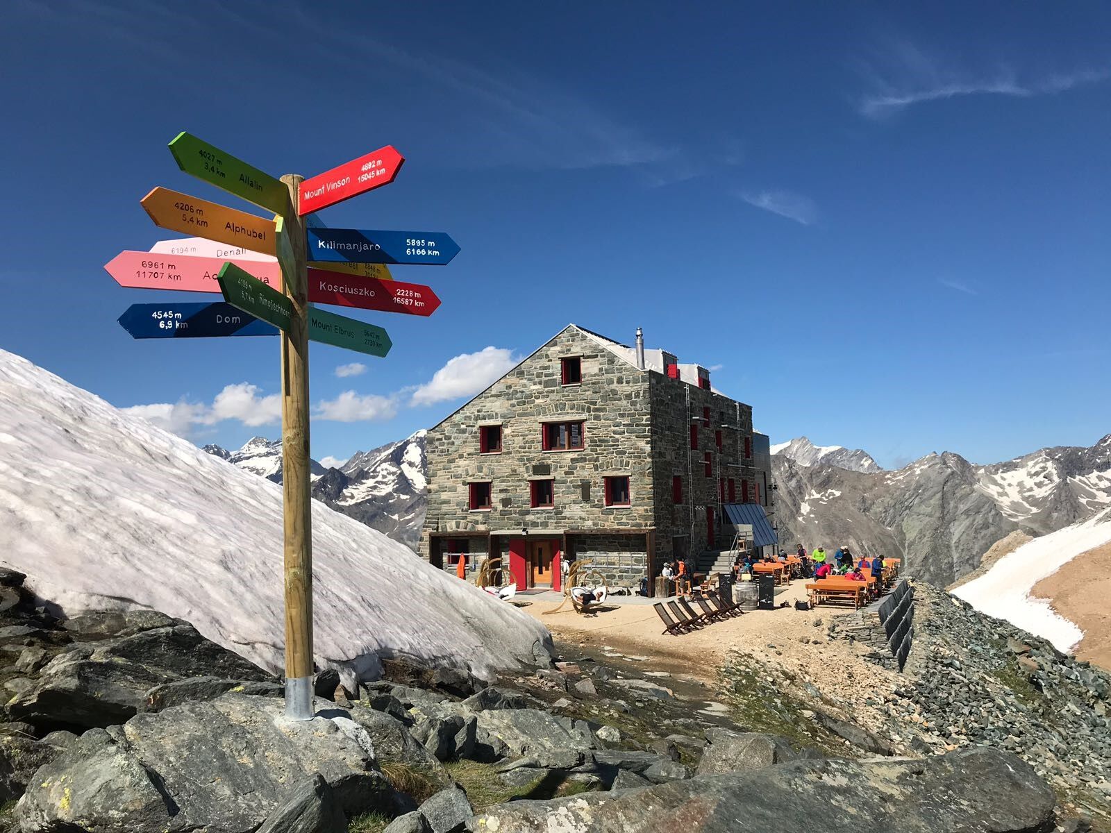
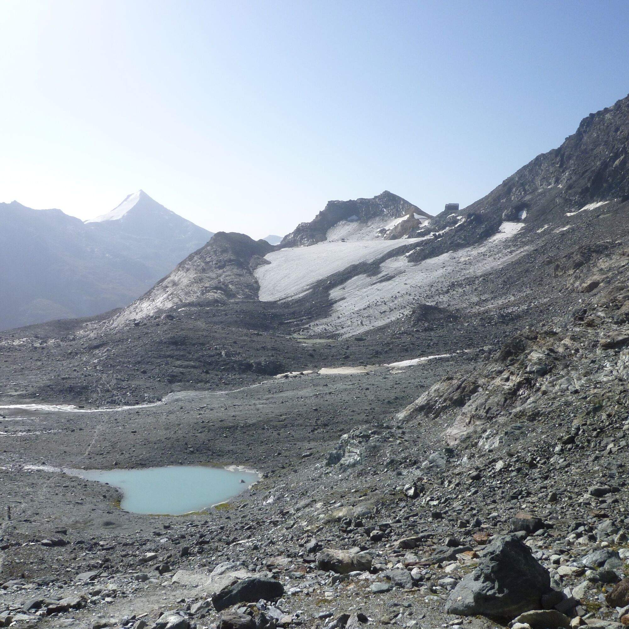
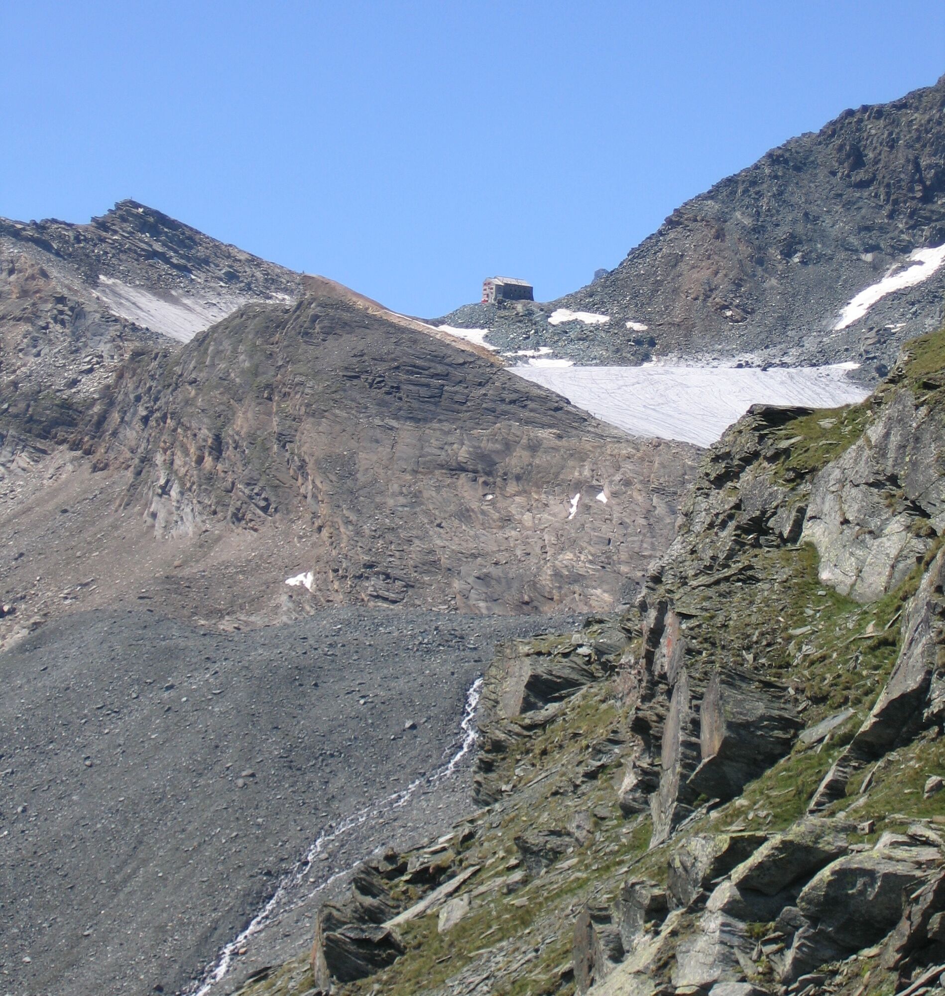
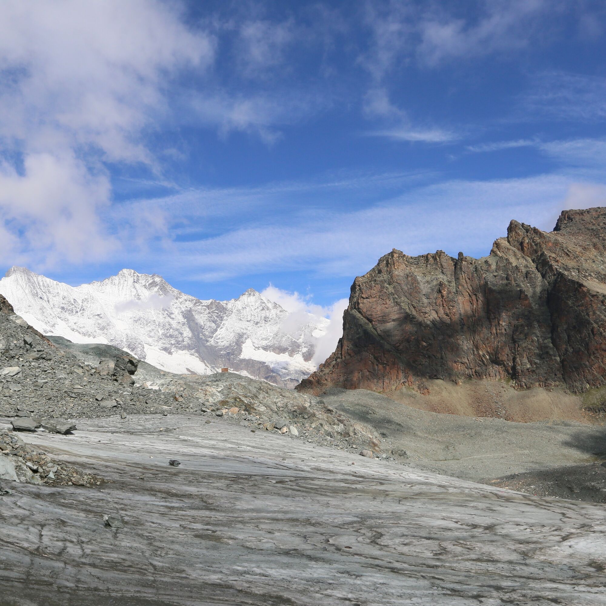
The path starts at the upper station of the Felskinn cable car and leads eastwards from the terrace of the Felskinn mountain restaurant to the Egginerjoch. Please pass this section quickly, as there is a risk of rockfall in summer. From the Egginerjoch, the path branches off to the right (in walking direction) over the moraine ridge. Down in the scree area, the path passes two lakes and leads to a small rock ledge. Then it crosses an extension of the Chessjen Glacier and climbs up to the Britannia Hut. From the hut (3,030 m above sea level) you can enjoy an unforgettable view of the Allalin Glacier and the Mattmark area with the eponymous natural reservoir. Due to the altitude, snow can be expected on the path even in summer.
Note:
Users of alpine hiking routes must be sure-footed, free from vertigo, and in very good physical condition as well as familiar with the use of rope and ice axe. They must also be capable of overcoming climbing sections using their hands and aware of the dangers in the mountains.

Felskinn station - Egginerjoch - Britannia Hut
Ano
Good footwear
Outdoor clothing: Always carry a waterproof jacket
Sun protection
Liquids and food
Hiking poles (optional)
Navigation tool
First aid kit
Use of the hiking trails and information on this website is at your own risk. The conditions on site may possibly cause changes in the route.
Use only marked hiking trails and follow all signposts and instructions – for your own safety, to protect livestock and without disturbing the peace of the wildlife. Behave considerately towards other trail users and the landscape. Take your waste and others' waste with you. Carry sun protection. UV rays at high altitudes can be very strong, even in cloudy weather. Plan your hike carefully: consider the required fitness of all participants, weather forecasts, and seasonal dependencies. Weather conditions can change very quickly and without warning in the mountains. Appropriate clothing and sufficient provisions (food and drink) are very important. Turn back early in case of unstable weather. Do not venture onto glaciers without a mountain guide. Observe warning signs that indicate danger. Inform third parties about your route and don’t go alone if possible. Pay attention to the opening times of the mountain railways.The Saas Valley is easily and conveniently accessible by car from all directions, whether from Switzerland or abroad.
From the north you reach us via Bern through the Lötschberg car shuttle.
From the east you come via the Furka Pass or the Furka car shuttle.
From the south we are reachable via the Simplon Pass or the Simplon car shuttle, and from the west you drive via Lausanne along the Rhone Valley to Visp and then towards Saas-Fee.
From Visp you drive south towards Saas-Fee. At the "Killerhof" roundabout to Stalden take the second exit to Saas-Fee. In Saas-Grund turn right after the church towards Saas-Fee.
Take the SBB train to Visp and change there to the PostBus towards Saas-Fee (Bus 511).
You can find parking spaces in the parking garage directly at the entrance to Saas-Fee.
T4
Lunch at the Britannia Hut with a view over the Hohlaub and Allalin Glacier.


Oblíbené prohlídky v okolí
-
4.9
Allalinhorn vom Mittelallalin über Normalweg
středníVysokohorská turistika 6.15 km -
3.6
Höhenweg Kreuzboden - Almagelleralp - Saas-Almagell
Turistika 9.74 km -
3.3
Europaweg Grächen - Europahütte - Zermatt
heavyTuristika 39.9 km -
3.5
Waldweg Saas-Fee - Saas-Almagell
Turistika 2.83 km -
4.7
Weissmies Südgrat von Saas Almagell
středníVysokohorská turistika 20.5 km -
5.0
Via ferrata Jägihorn
heavyVia ferrata 6.14 km -
4.8
Marmot mountain path Spielboden
středníTuristika 3.89 km -
3.8
Höhenweg Saas-Fee - Grächen
Turistika 12.0 km -
4.5
Ibex path
středníTuristika 9.02 km -
5.0
Mountain trail Kreuzboden - Hohsaas
středníTuristika 4.65 km
Pěší turistika a stopování


Nenechte si ujít nabídky a inspiraci pro vaši příští dovolenou
Vaše e-mailová adresa byl přidán do poštovního seznamu.





