


From hut to hut via Tièche Hut
The excursion covers 50 km, from Les Rousses on the route to Tseuzier Lake to Loèche-les-Bains, skirting the Bernese Alps ridge first at Rawilpass, then at the Weisshornlücke, Rothornlücke, and finally...
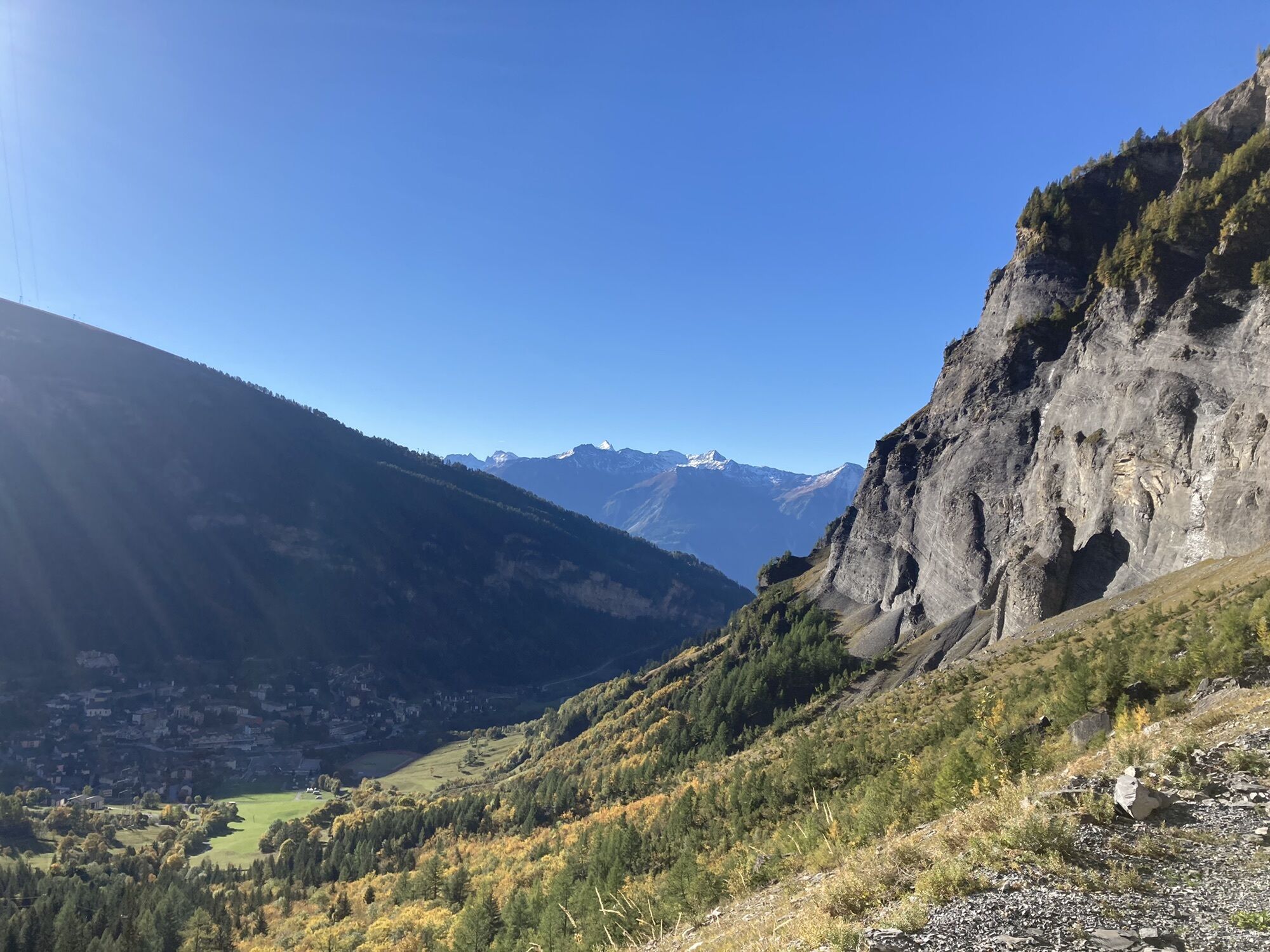
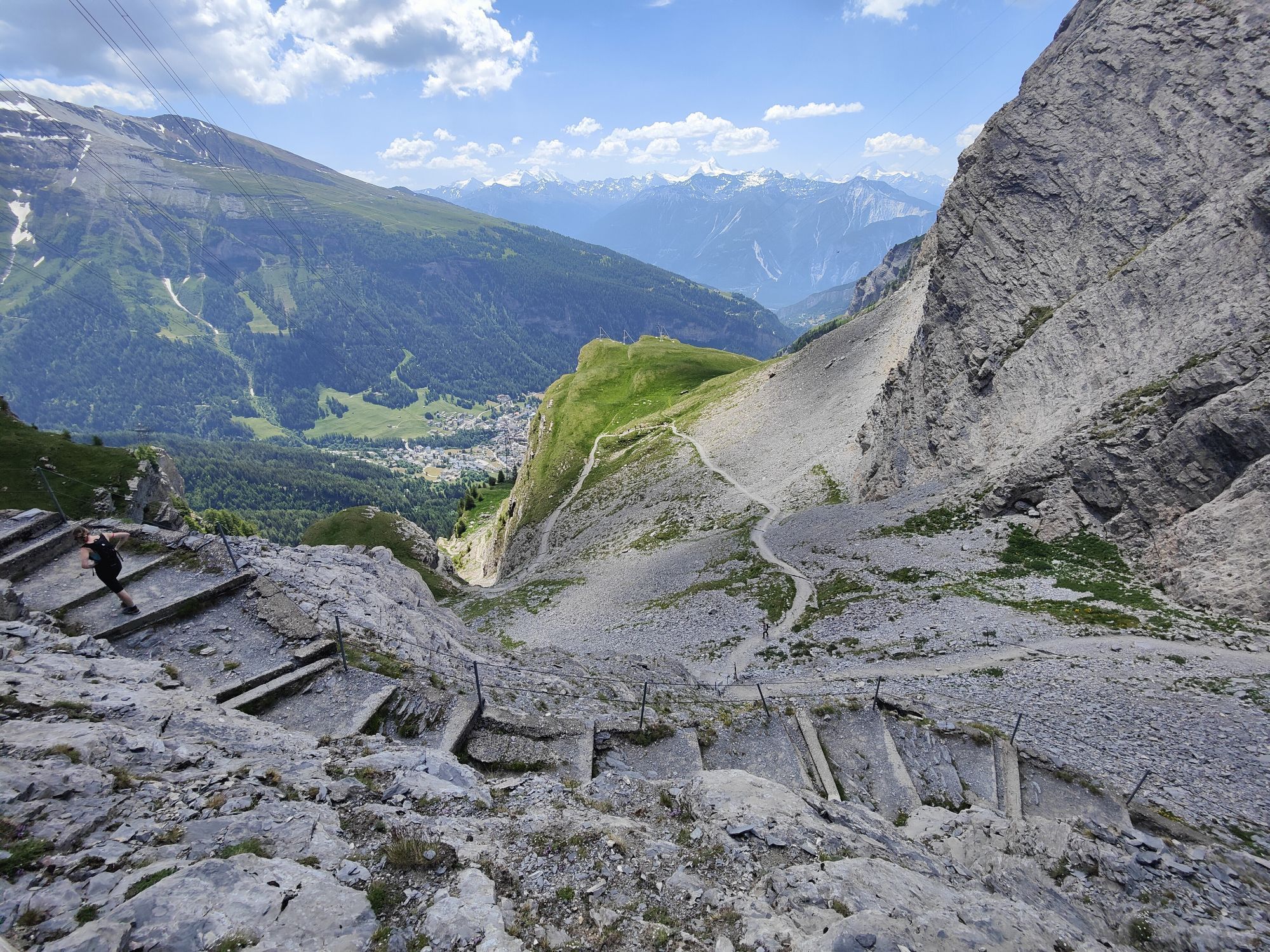
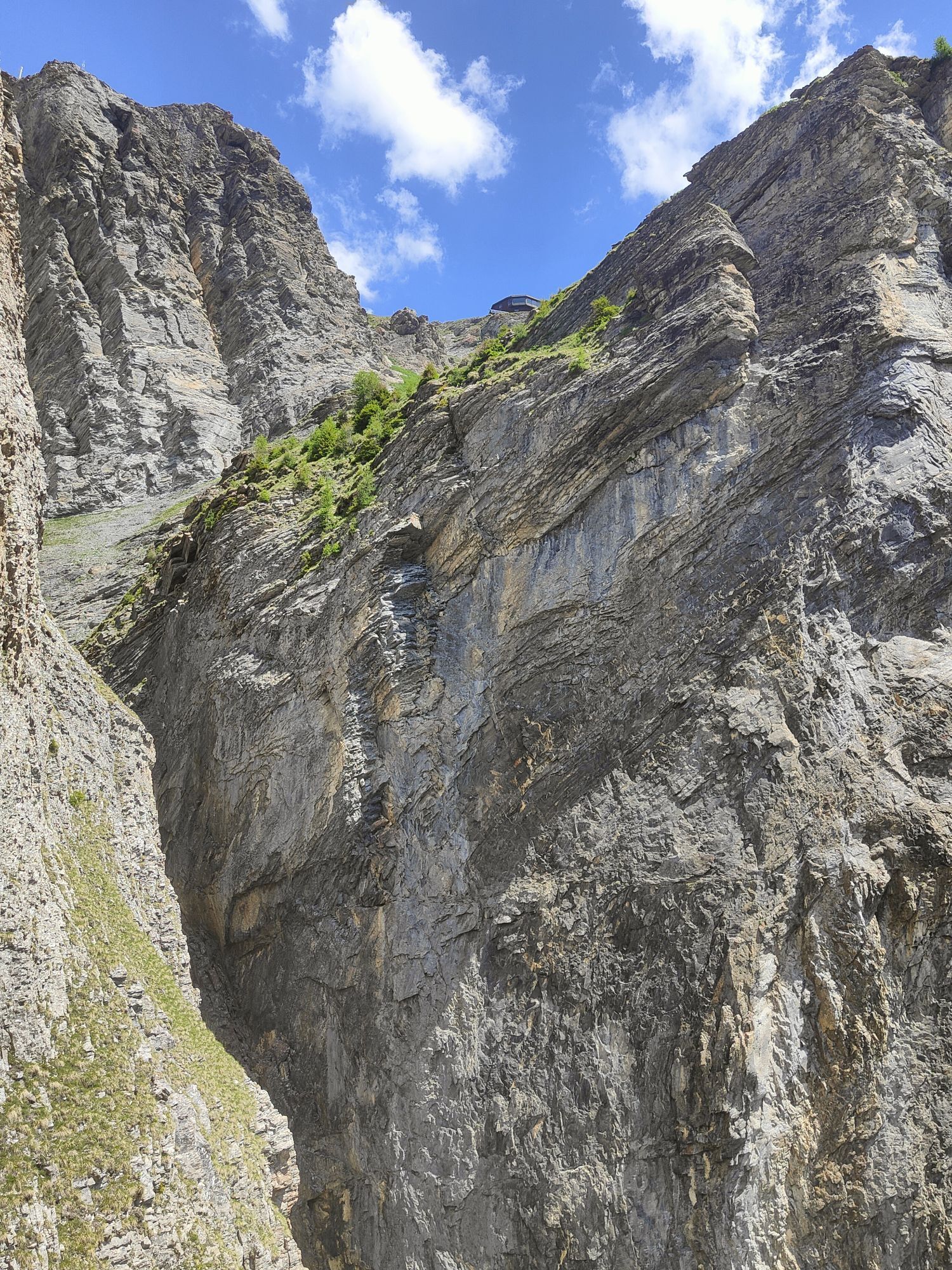
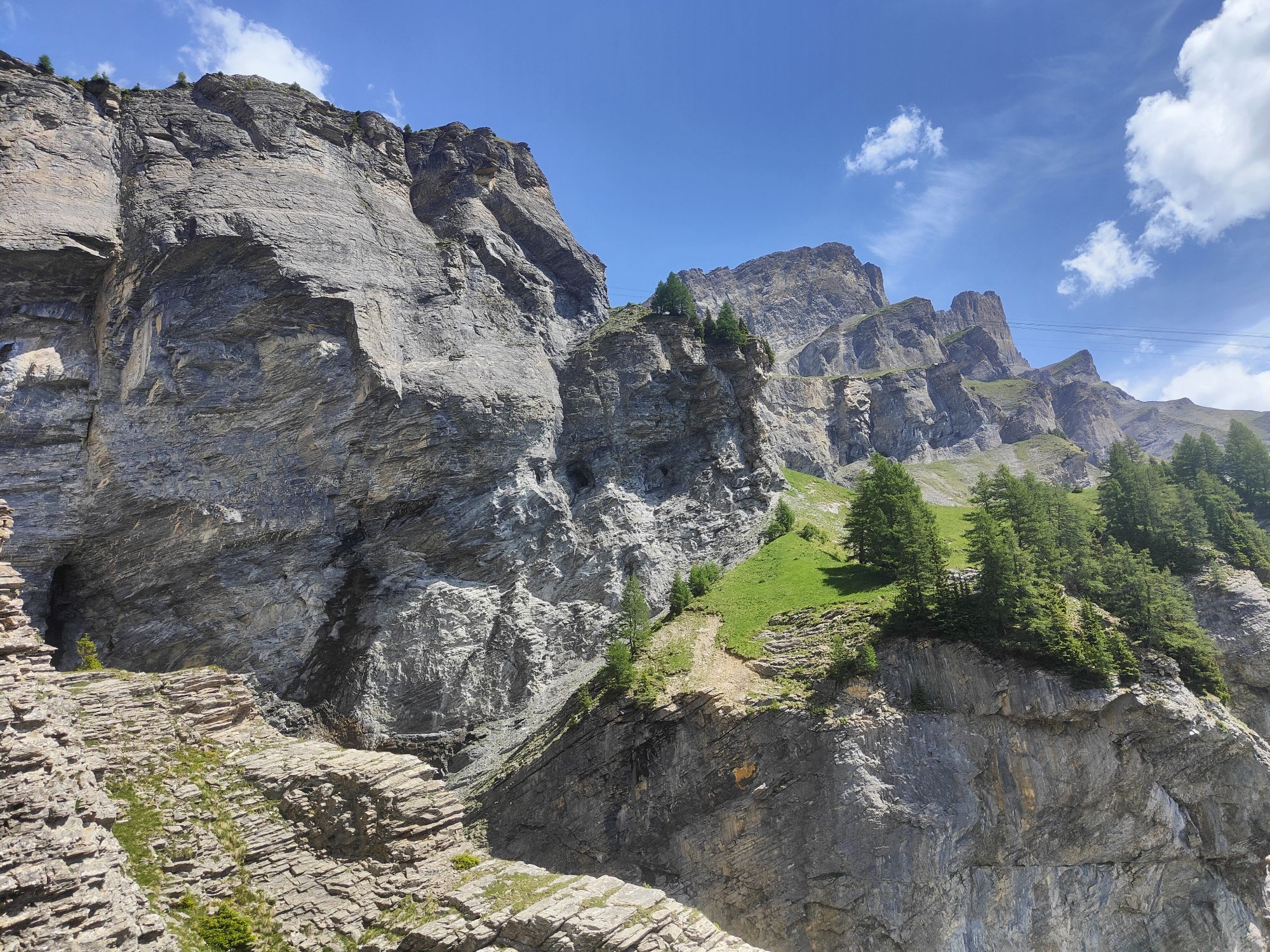
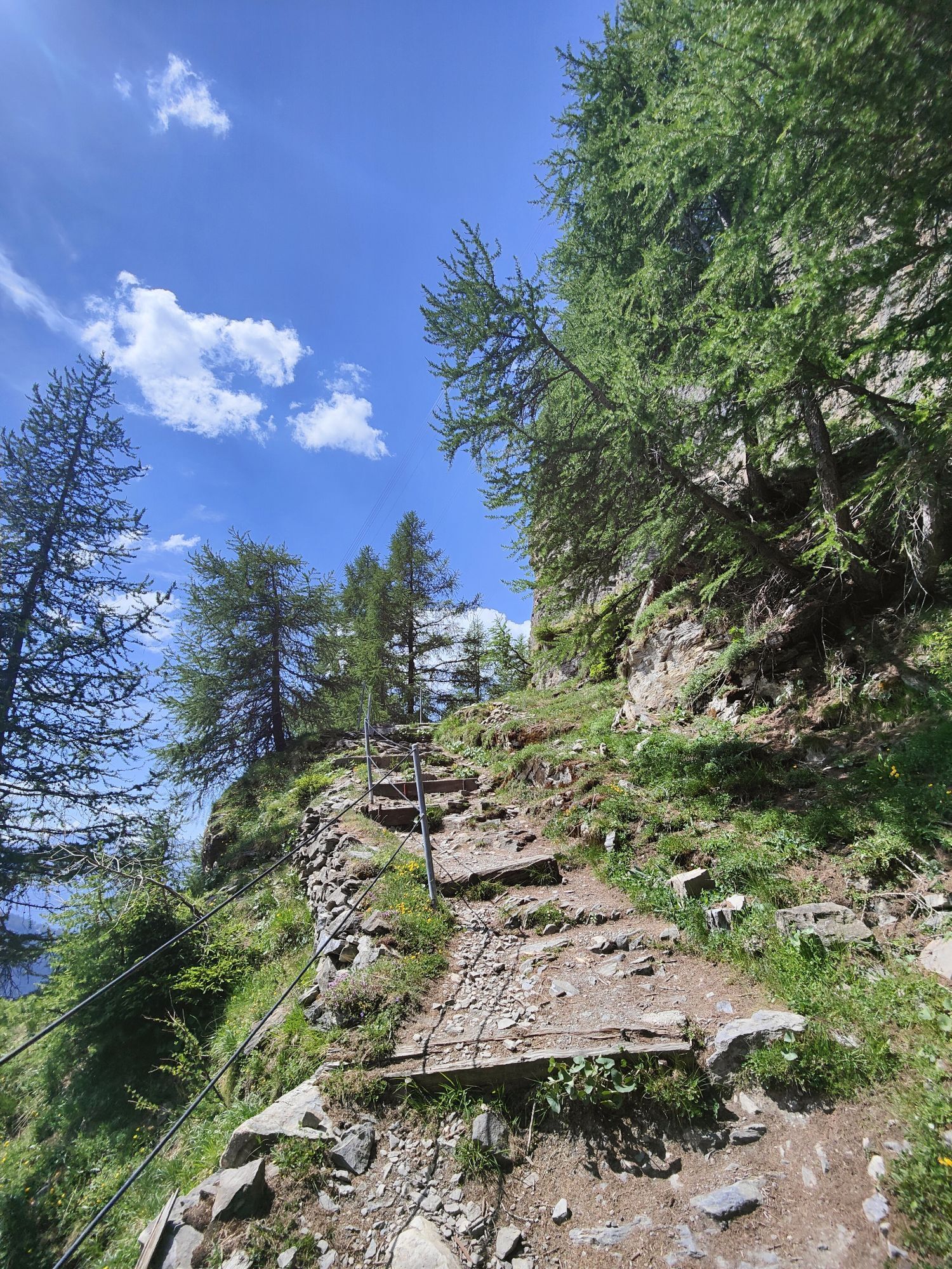
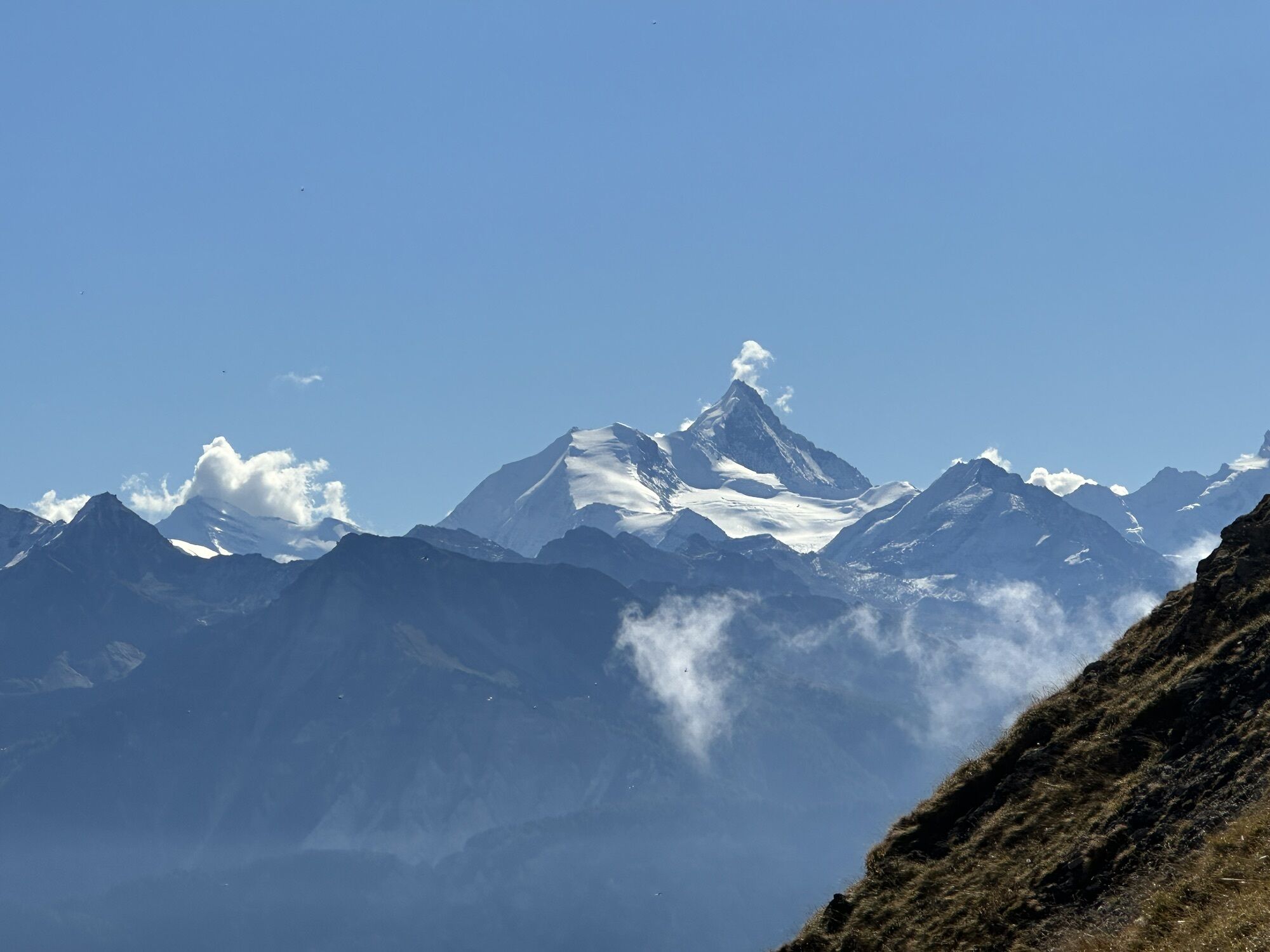
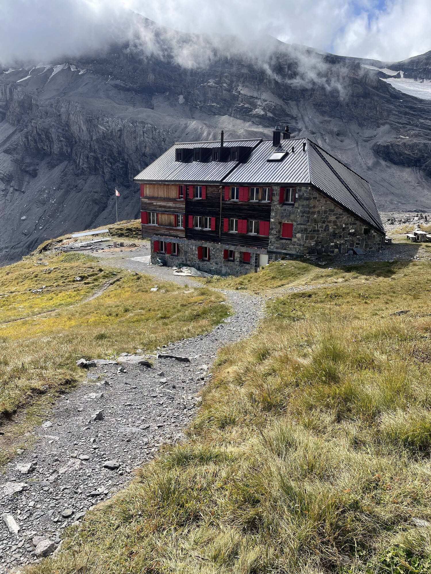
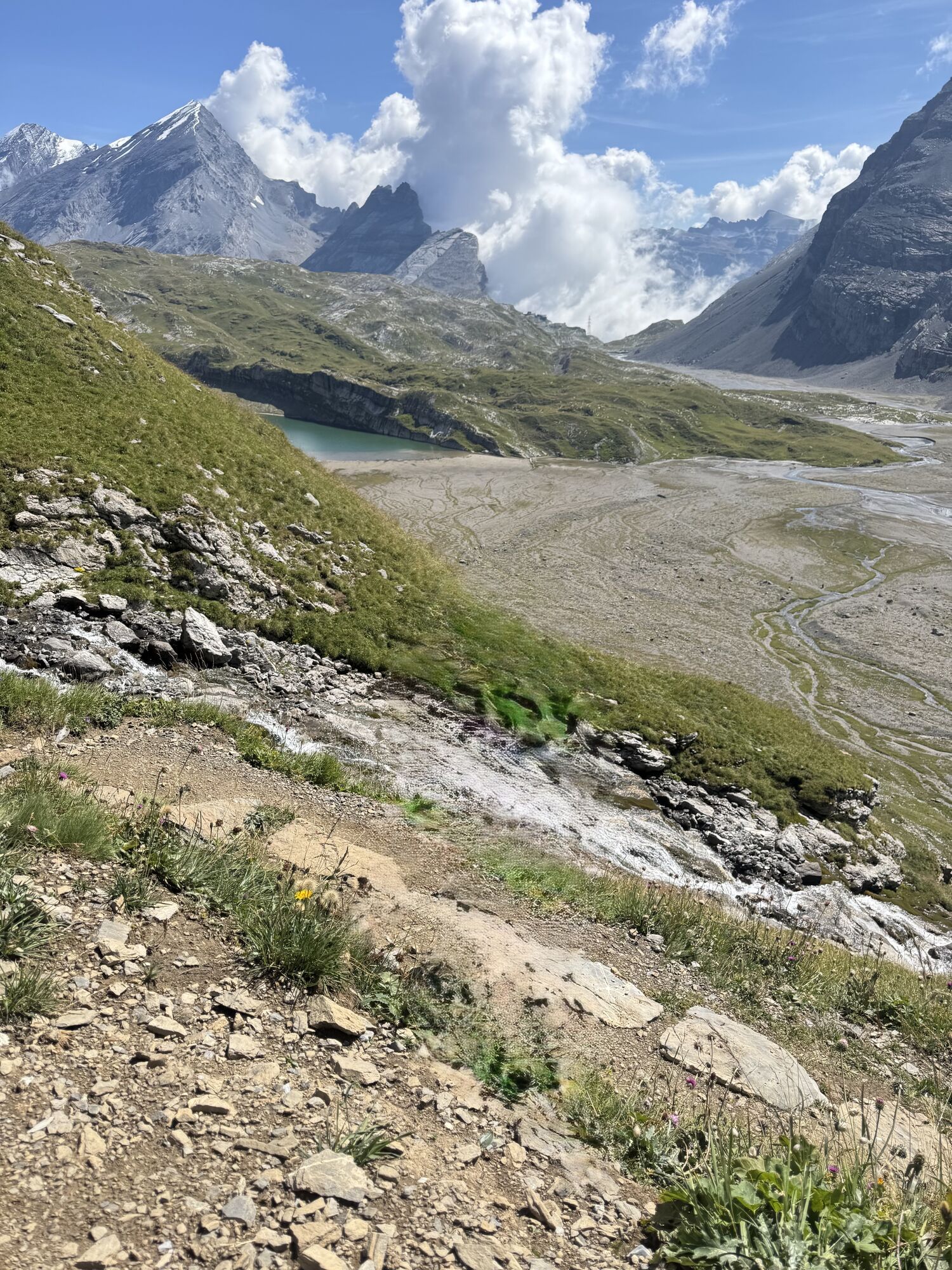
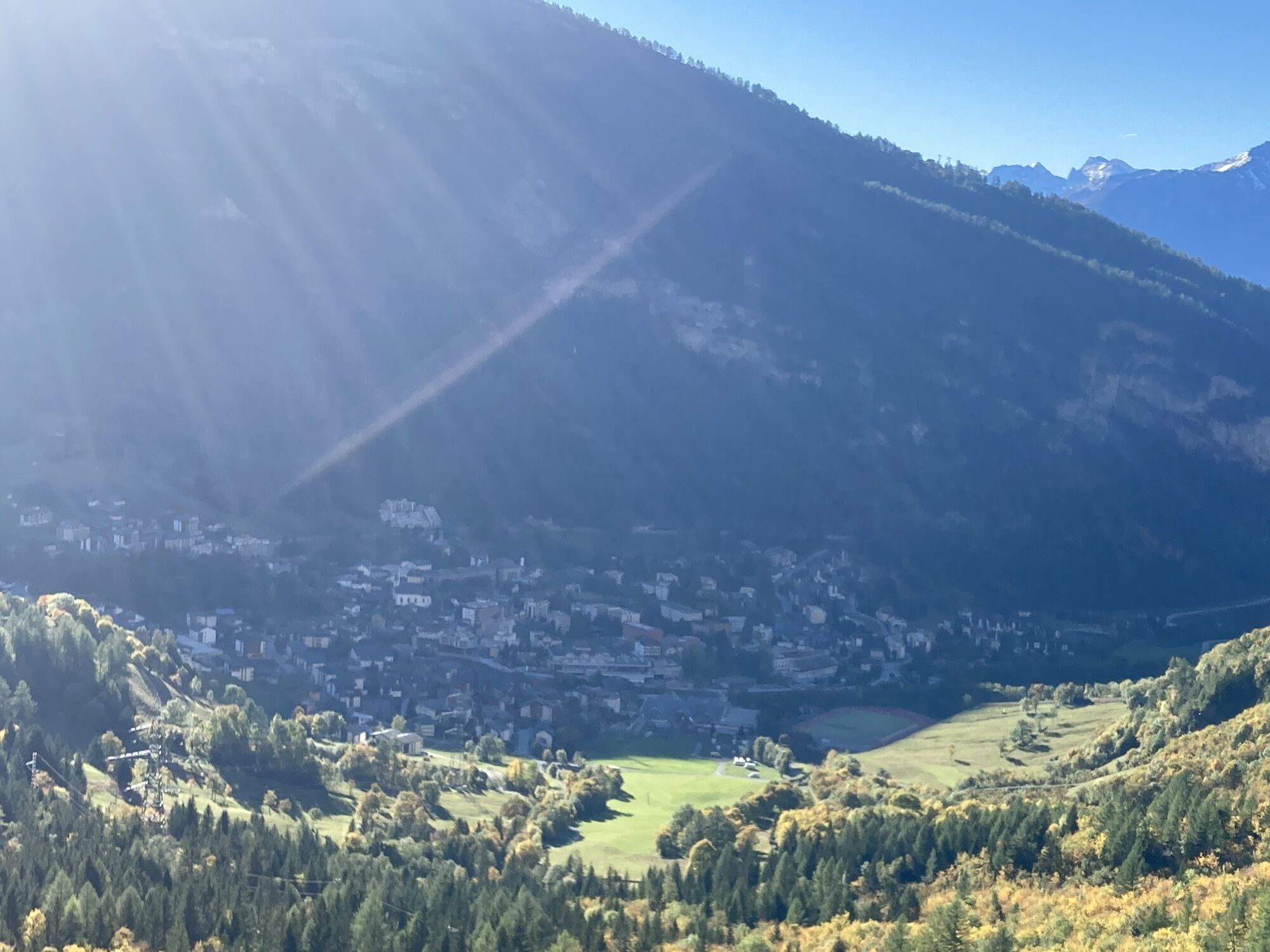
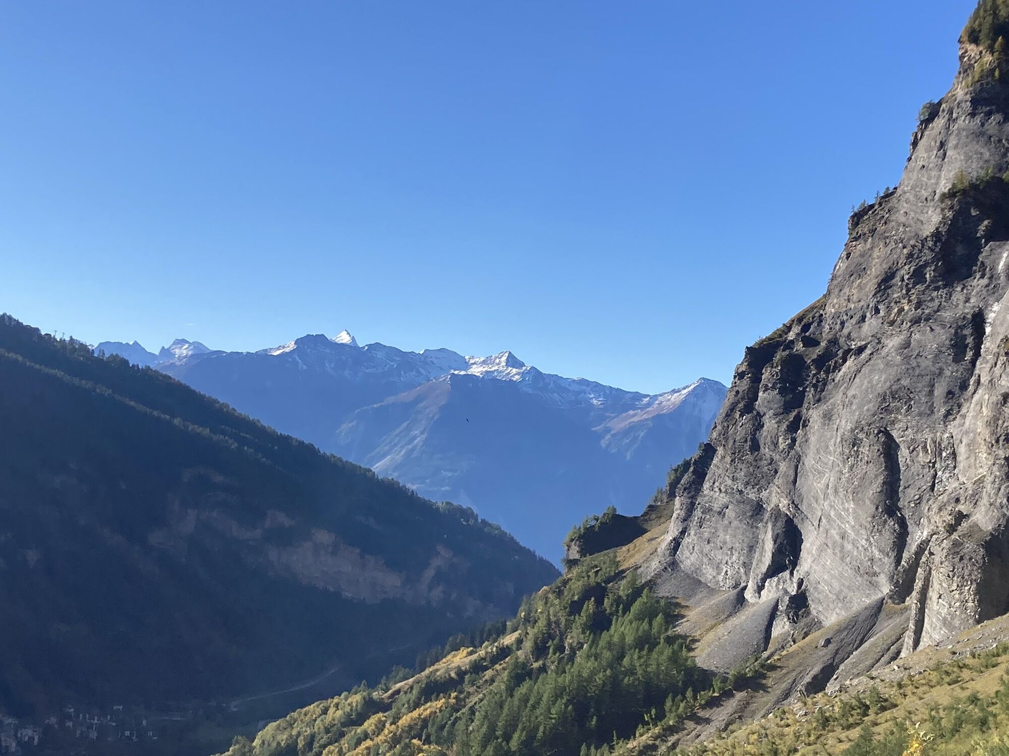
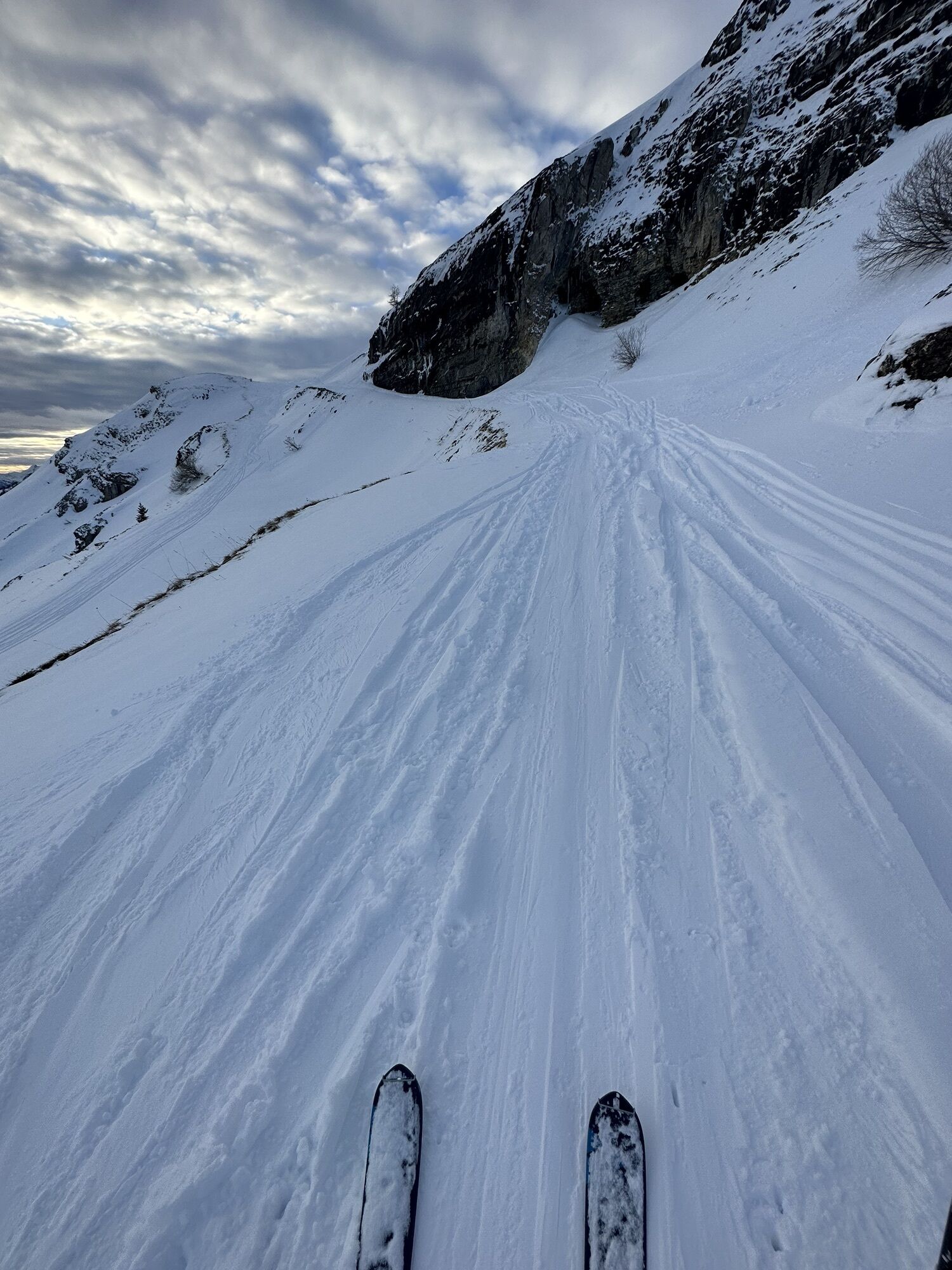
The excursion covers 50 km, from Les Rousses on the route to Tseuzier Lake to Loèche-les-Bains, skirting the Bernese Alps ridge first at Rawilpass, then at the Weisshornlücke, Rothornlücke, and finally at Gemmi Pass. Its highest point is at Rothornlücke at over 3,000 meters. From hut to hut, it starts at Audannes Hut at the foot of the Wildhorn, in a unique natural amphitheater at the bottom of which you will see a magnificent lake. Then you will pass the "Cold Waters" pass. You will descend on the other side into a small valley behind the Rawyl. The path crosses a karst area before reaching Ténéhet from where you will depart via Plan des Roses and Rawilpass to reach the second hut, Wildstrubel Hut. The route continues through Weisshornlücke, whose ridge you will follow southwest to descend into the Huiton valley, which you will exit via the Gendarmes passage to then pass Pochet pass to descend toward the foot of the Bonvin mountains which you will bypass to reach the third hut, Tièche Hut. The third stage ascends the river and passes above the rocky cliff of cascades that support the Outannes plateau. You will climb toward Rothornlücke at 3,005 m. On the other side you will bypass the summit of the glacier to descend to Laemmeren Hut, which you can already see on a plateau above Laemmerenboden through which you will pass to join Gemmi Pass and then descend to Loèche-les-Bains. (DR)

Departure from Ayent, Les Rousses - Audannes Hut - Cold Waters Pass - Ténéhet Lake - Plan des Roses - Rawil Pass - Wildstrubel Hut - Wisshorelücke - Huiton Lake - Pochet Pass - (Violettes Hut) - Petit Mont Bonvin - Tièche Hut - Rothornlücke - Lämmeren Hut - Gemmi Pass - Arrival at Loèche-les-Bains
Ano
Ano
Good hiking shoes and equipment for high mountain hiking.
The weather changes quickly at altitude, so bring suitable clothing.
Some passages between Tièche and Lämmerenhütte are not recommended for people prone to vertigo.
Follow the marked trails. Please respect the wildlife and flora: the nature.
Check weather conditions before your departure.
Crans-Montana Tourism & Congress declines all responsibility in case of accident.
Take the Sion East highway exit and follow directions to Ayent, then when you arrive at Botyre follow directions to Tseuzier Dam until reaching Les Rousses. The trip takes about 30 minutes from the highway exit to your final destination.
Take the postbuses from Sion station toward Crans-Montana to the stop: Ayent, le Creux. Then change and take the postbuses toward Rawil Dam until the stop closest to the start of the hike: Ayent, Les Rousses.
There is the possibility to park for free next to the start of the hike.
Address: Les Rousses, 1966 Ayent
For any other information: www.crans-montana.ch/rando
This route is quite flexible as it allows, at each stage, to reach civilization relatively easily. Another interesting aspect of the route is that it passes close to several panoramic peaks such as the Wildhorn, Rohrbachstein, Grand Bonvin, Trubelstock which you can include in your itinerary depending on your possibilities.
Additional stop possible at the Violettes Hut.
Webové kamery z prohlídky
Tele Anzère
Anzère Village
Luzerner Höhenklinik Montana
Crans Montana - Bergstation Nationale
Crans Montana - Hôtel Le Splendide
Gemmi - Lodge und Bahnen
Torrent - Schwalbennest
Torrent - Rinderhütte
Golfplatz - Severiano Ballesteros
Golfplatz - Severiano Ballesteros
Bratsch
Torrent Rinderhütte
Anzère Funpark
Barrage de Tseuzier
Oblíbené prohlídky v okolí
- 5,0
Bisse du Ro
světloTuristika 11,2 km - 4,0
Grand Bisse de Lens
světloTuristika 8,73 km - 4,7
Leukerbad - Gemmipass - Lämmerenhütte
středníTuristika 9,49 km - 5,0
Torrenthorn- Rigi der Walliser Alpen
Turistika 2,99 km - 4,0
Gemmipass - Lämmerenhütte - Rote Totz Lücke - Daubensee - Gemmipass
středníTuristika 13,7 km Gratweg
Via ferrata 5,16 kmZu den Engstligenfällen
středníTuristika 8,06 km- 4,0
Wolfstritt
Turistika 7,02 km Talabfahrt (Rinderhütte-Tunnel-Folljeret-Leukerbad)
Turistika 7,78 km- 5,0
Klettersteig Daubenhorn
heavyVia ferrata 5,34 km
Pěší turistika a stopování


Nenechte si ujít nabídky a inspiraci pro vaši příští dovolenou
Vaše e-mailová adresa byl přidán do poštovního seznamu.