







Via the Alpages du Dedans

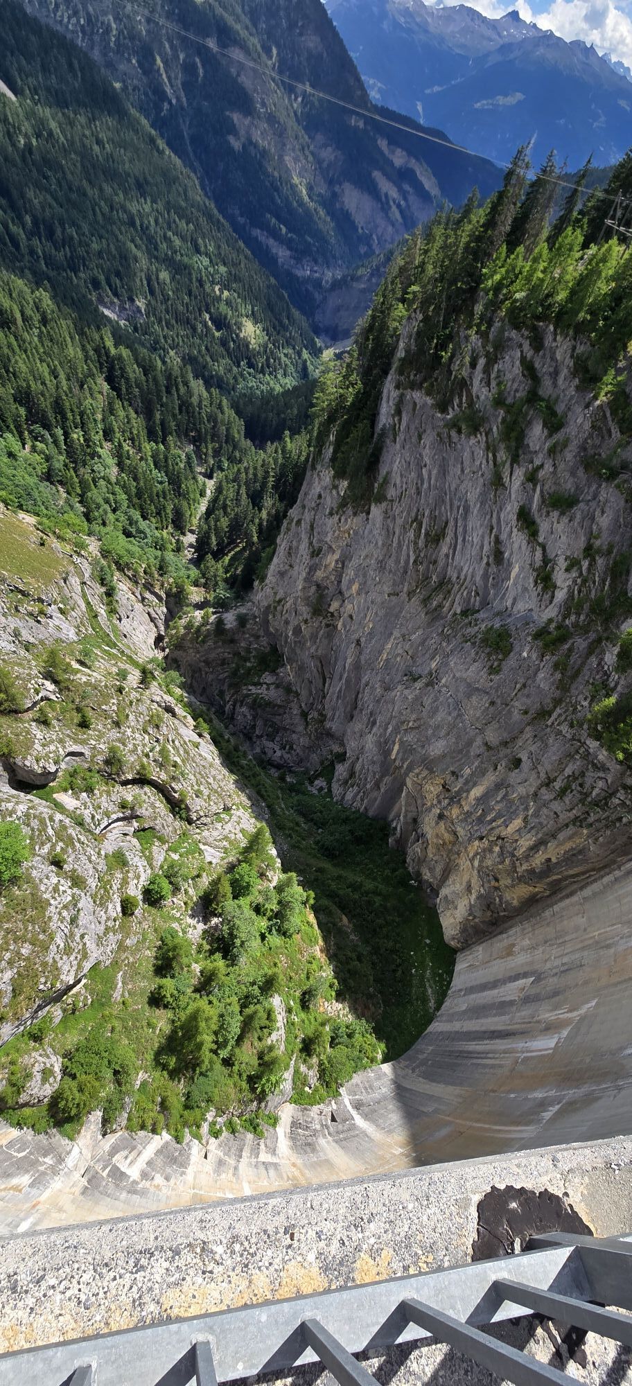
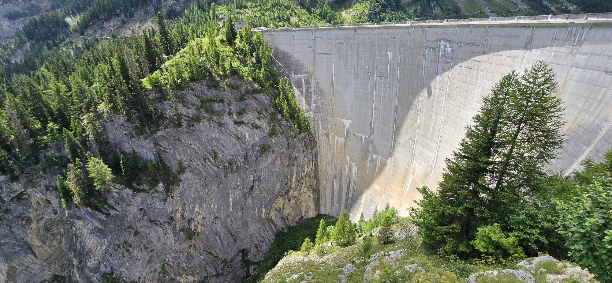
You begin walking on the concrete dam of the lake, then ascend along the path that crosses Vatseret, an alp formerly rather farmed by Icogne. Then, you cross torrents fed by springs whose mouths are under...
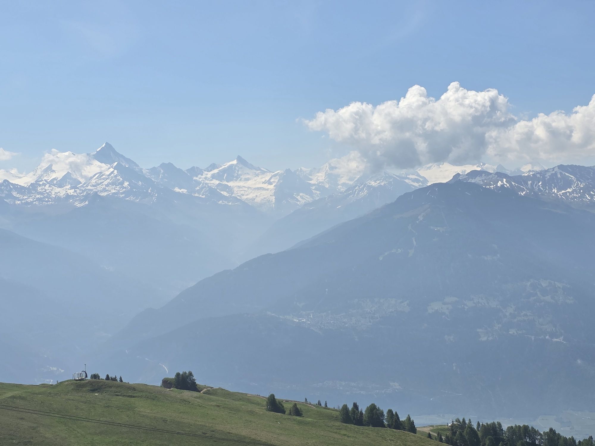
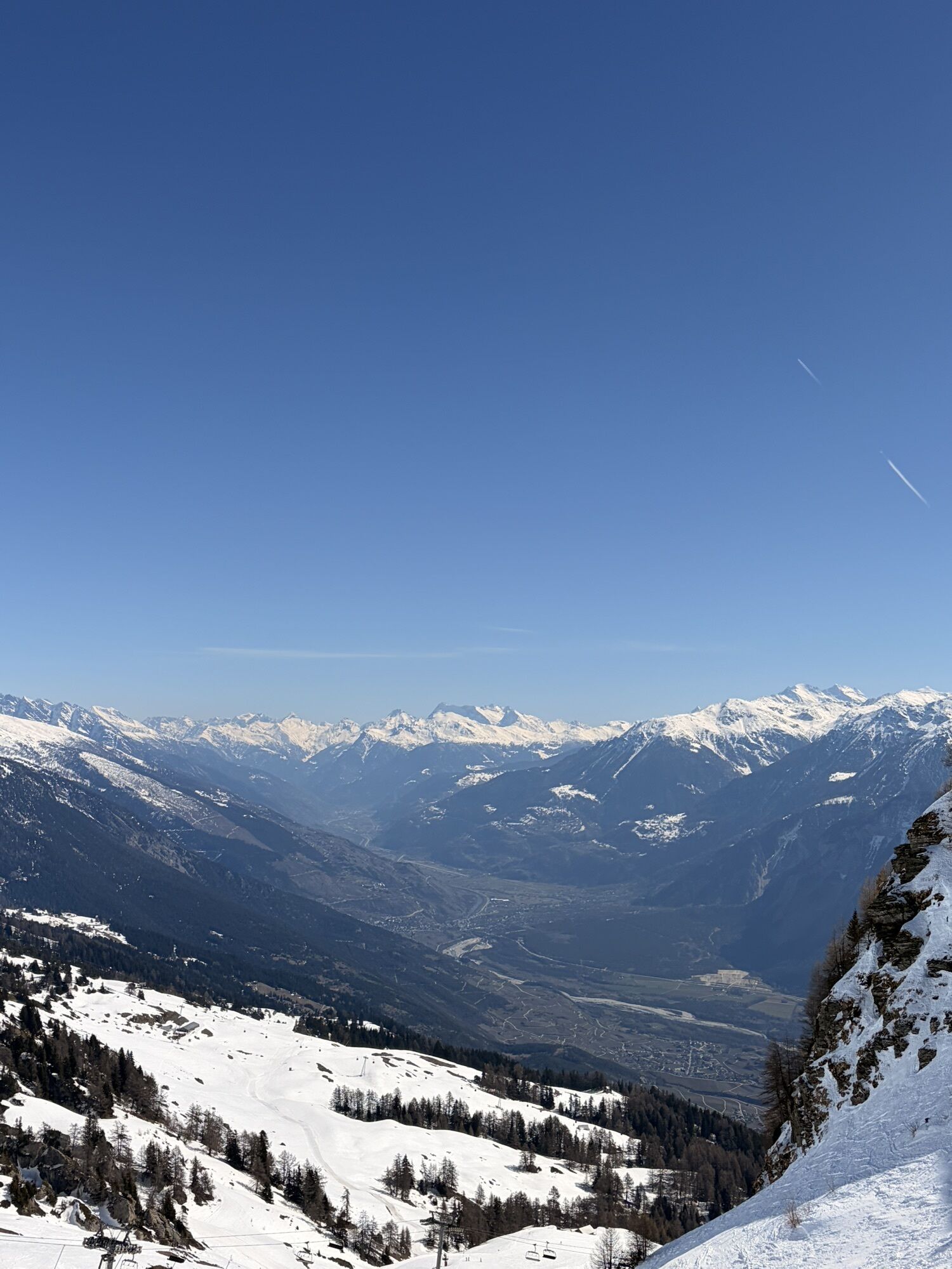
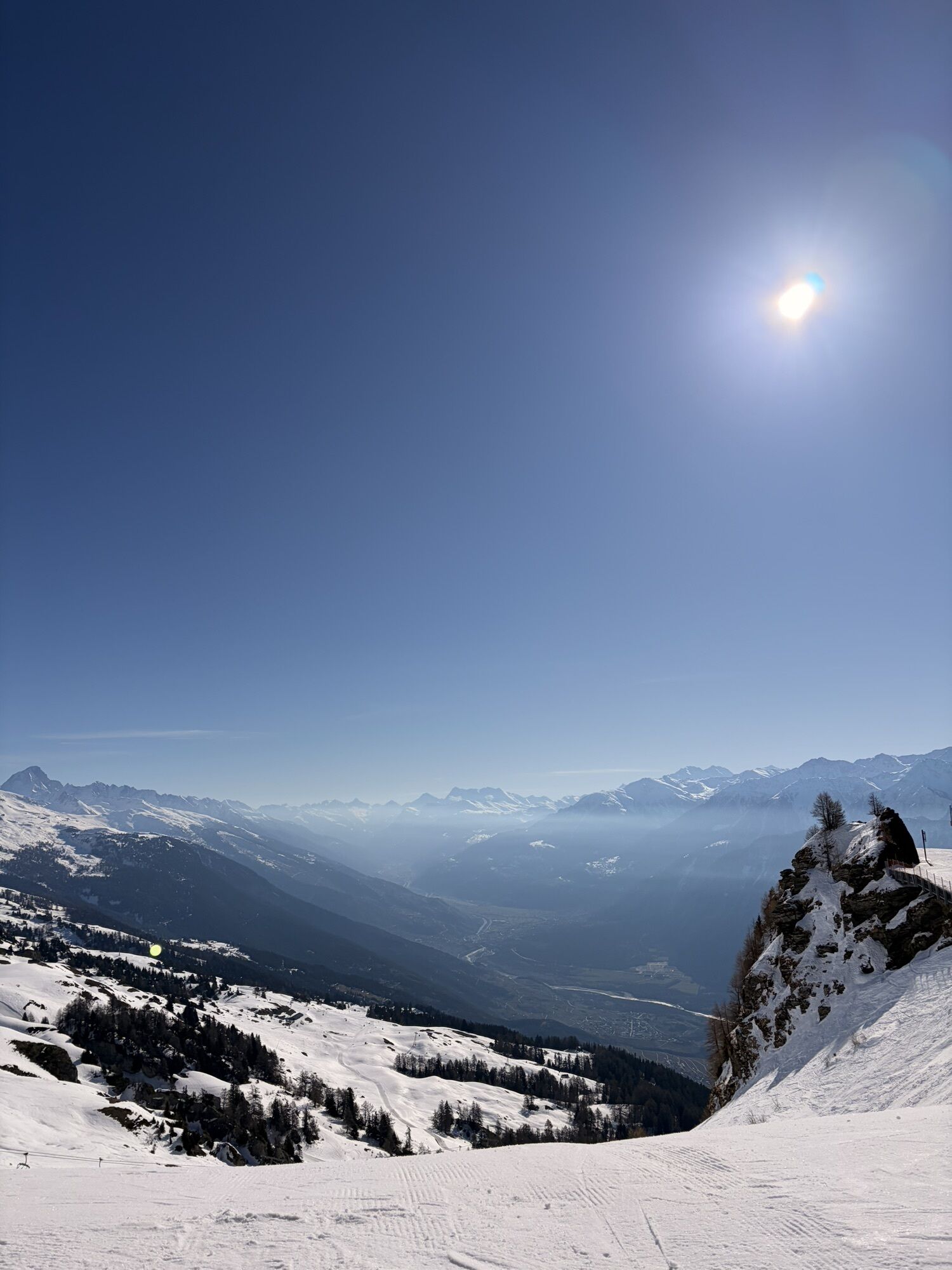
You begin walking on the concrete dam of the lake, then ascend along the path that crosses Vatseret, an alp formerly rather farmed by Icogne. Then, you cross torrents fed by springs whose mouths are under the rocks upstream of the path. You continue towards the Mondralèche alp. This alp is on less steep terrain; its position above the forest line offers a magnificent panorama over the Rhone Plain as well as the Alps opposite. At the corner of the path, you will see the old Cave next to which a spring feeds a basin. You continue up to the highest point of this path. From there, you will clearly see the continuation of the route up at the top, on the summit of the large cliff supporting Bellalui. The path then starts descending crossing the Er de Chermignon alp. Then you reach the Er de Lens alp. You continue descending until crossing the watercourse. At this point, you have several options for the continuation. You can either continue as planned towards Col du Pochet and Bellalui, go directly to Cry d’Er, or decide to return to Crans via the Bisse du Ro or the alpine pastures path. To reach Bellalui, you ascend towards Col du Pochet; first, you cross an alpine meadow scattered with many stones here and there, brought by mountain erosion. If you hear a sharp and continuous whistling in this landscape, don’t look for it—it comes from the micro-hydroelectric plant feeding the Er de Lens cheese dairy. You will then rise to the upper level of the valley where the springs supplying the watercourse and the turbine of the micro plant are located. It’s again an alpine meadow ending at the altitude limit for grass growth. Then you start the climb to Col du Pochet; it’s steep but not very long. On the ridge, you have a new choice: either continue via the ladders to reach the top of the rock on which the path to Bellalui and finally Cry d’Er passes in 50 minutes, or descend to the Violettes Hut in 35 minutes from where you could also reach the station by gondola. This should be decided also depending on the time remaining before the last gondola. A glance back will show the entirety of your route through the Dedans alpine pastures. It’s a pretty route with various possibilities for improvisation depending on your endurance level, the weather, and the time of walking. (DR)

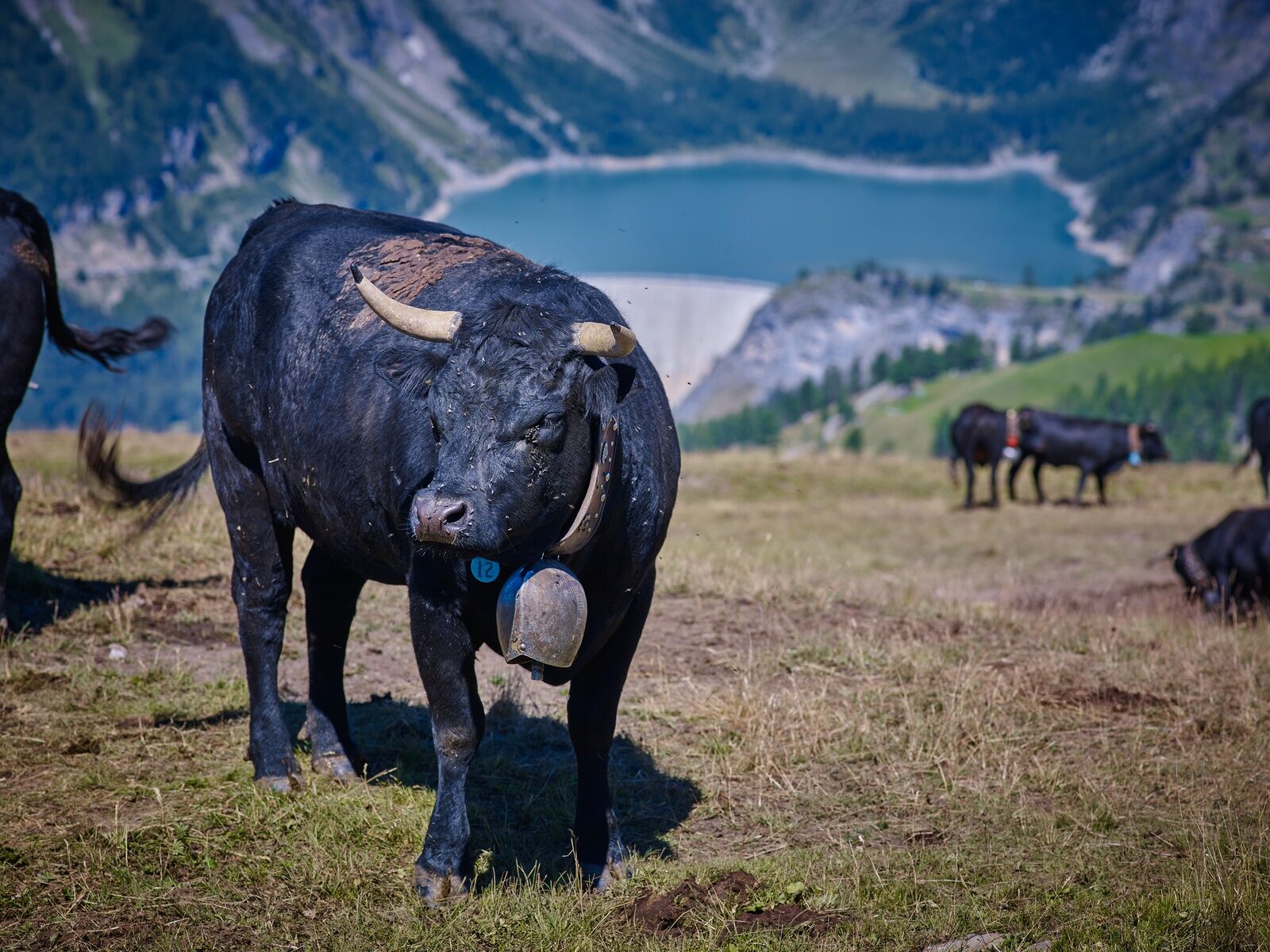
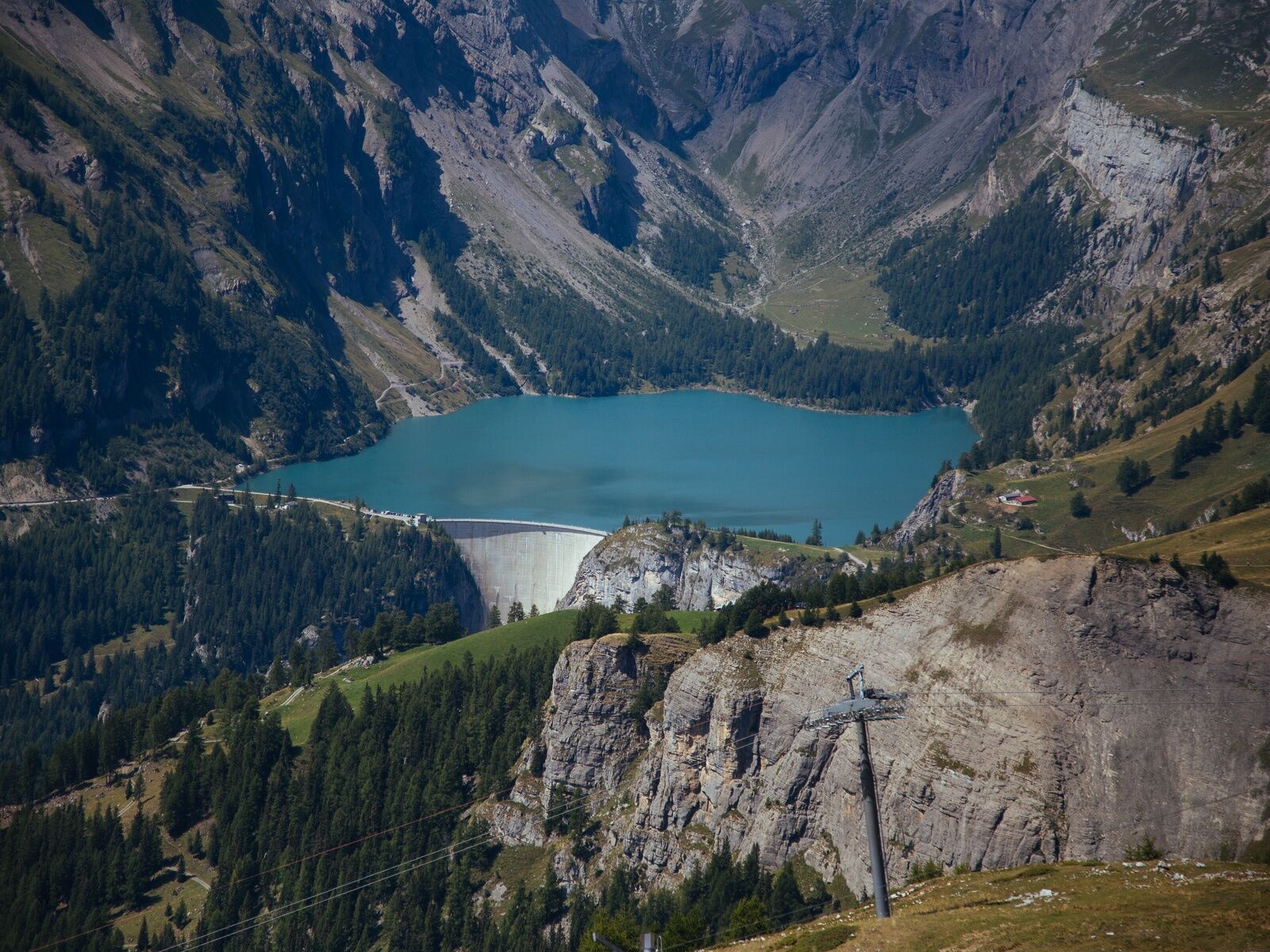
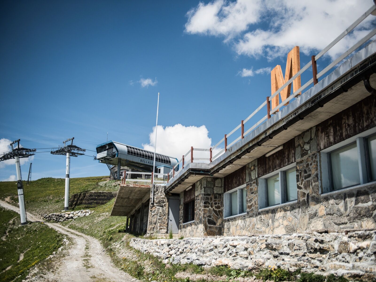

Departure from Lac de Tseuzier - Vatseret - Mondralèche - The Er de Lens Cave - Col du Pochet (Ladders) - Bellalui - Bellalui Restaurant - Arrival at the Crans-Cry d'Er gondola station with the possibility to descend to Crans either by gondola or on foot
Ano
Ano
Good walking shoes.
The weather changes quickly at altitude, so be prepared with appropriate clothing.
Some sections with ladders are not recommended for people prone to vertigo.
Follow the marked trails. Please respect the fauna, flora: nature.
Check the weather conditions before your departure.
Crans-Montana Tourism & Congress declines all responsibility in case of an accident.
Take the Sion East motorway exit and follow the direction Ayent, then when you arrive at Botyre take the direction Tseuzier/Rawyl Dam. The journey takes about 40 minutes from the motorway exit to your final destination.
From Crans-Montana, it is also possible to reach Tseuzier Dam. First, take post bus 353 towards Sion from the stop: « Crans, Le Mérignou ». Then get off at the stop: « Botyre (Ayent), Le Creux». Finally, take the post bus on the other side of the road to « Anzère, Tseuzier Dam ». Timetable link: https://www.crans-montana.ch/horaires_bus_cm_tseuzier.
Cross the dam. The trail starts on the other side of the lake.
There is the possibility to park for free near the Rawil Dam next to the start of the hike.
Upon arrival at Cry d'Er, if you wish to descend by gondola, don't forget to check the timetables to know the departure time of the last cabin. You can get the schedules at www.mycma.ch or 0041 (0)848 22 10 12. This way you will have all the information to best organize your day.
Webové kamery z prohlídky

Oblíbené prohlídky v okolí
-
5.0
Bisse du Ro
světloTuristika 11.2 km -
4.2
Grand Bisse de Lens
světloTuristika 8.73 km -
4.7
Leukerbad - Gemmipass - Lämmerenhütte
středníTuristika 9.49 km -
4.6
Lauenen - Höji - Bühlhaus Lauenensee
středníTuristika 9.03 km -
4.0
Gemmipass - Lämmerenhütte - Rote Totz Lücke - Daubensee - Gemmipass
středníTuristika 13.7 km -
4.0
Tripon - Brac – Ancien Bisse du Torrent Neuf – St. Marguerite – Torrent Neuf – Prafirmin - St. Germain
světloTuristika 12.9 km -
Zu den Engstligenfällen
středníTuristika 8.06 km -
5.0
Klettersteig Daubenhorn
heavyVia ferrata 5.34 km -
4.8
Leukerbad - Gemmipass
heavyTuristika 4.73 km -
5.0
Grand bisse d’Ayent
středníTuristika 11.7 km
Pěší turistika a stopování


Nenechte si ujít nabídky a inspiraci pro vaši příští dovolenou
Vaše e-mailová adresa byl přidán do poštovního seznamu.





