


The Presidents' Walk
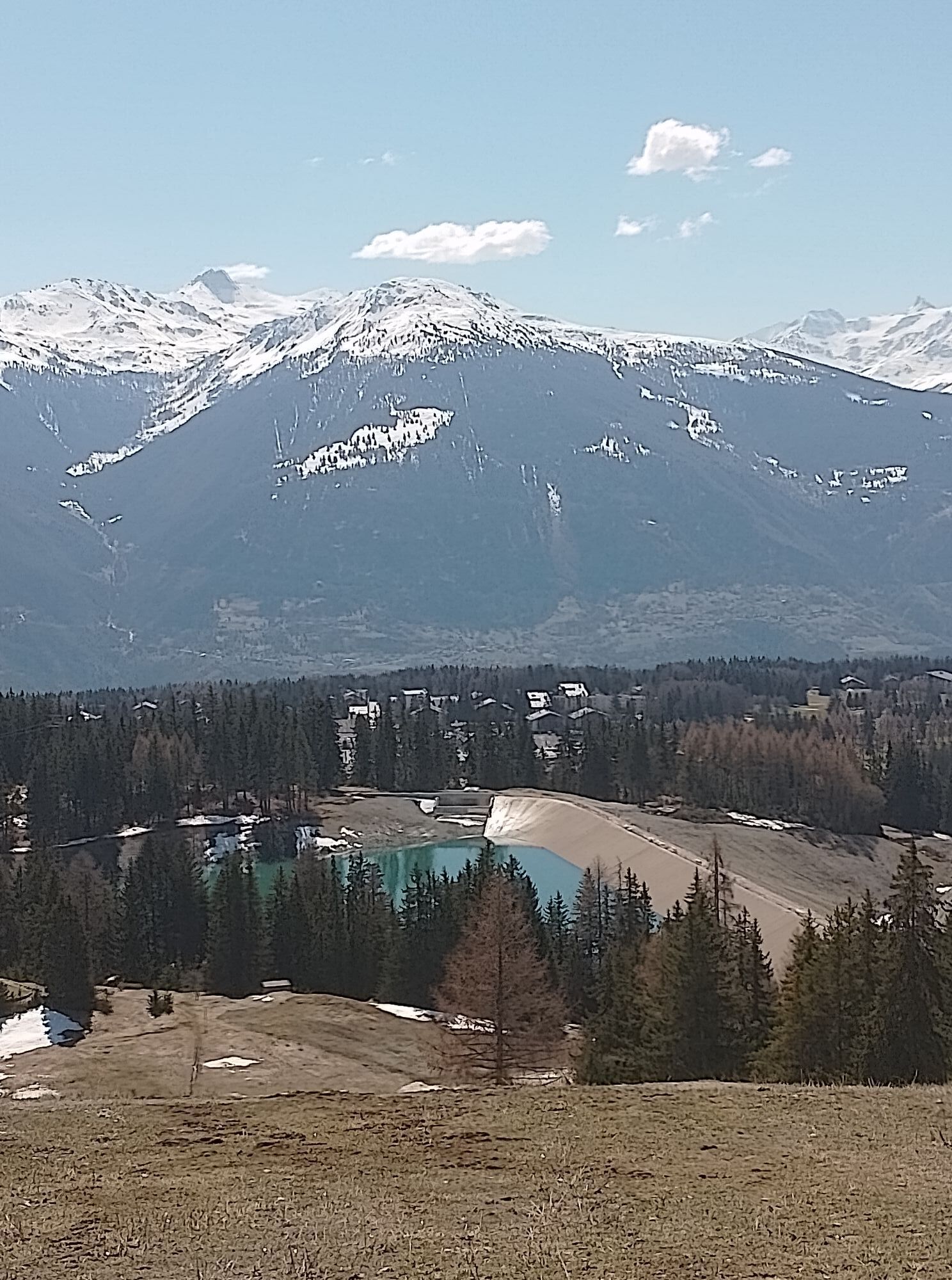
With this walk, which you can already undertake early in the season, you will circle the infrastructures that once contributed to the conveyance and distribution of water coming down from La Chaux and...
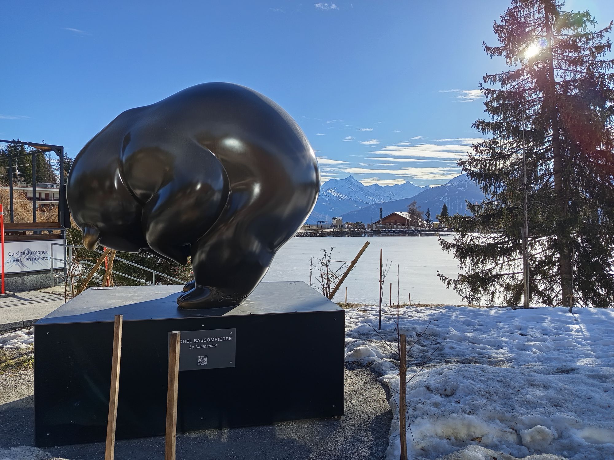
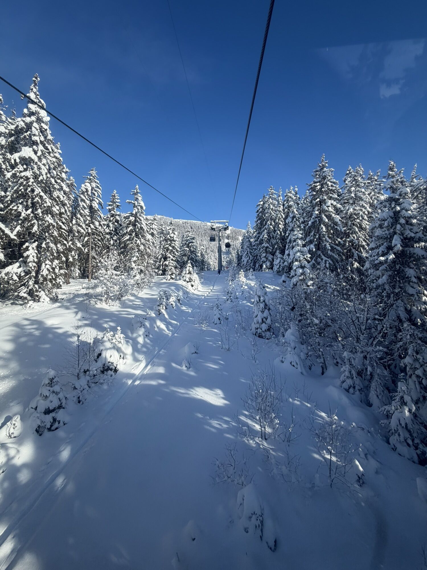
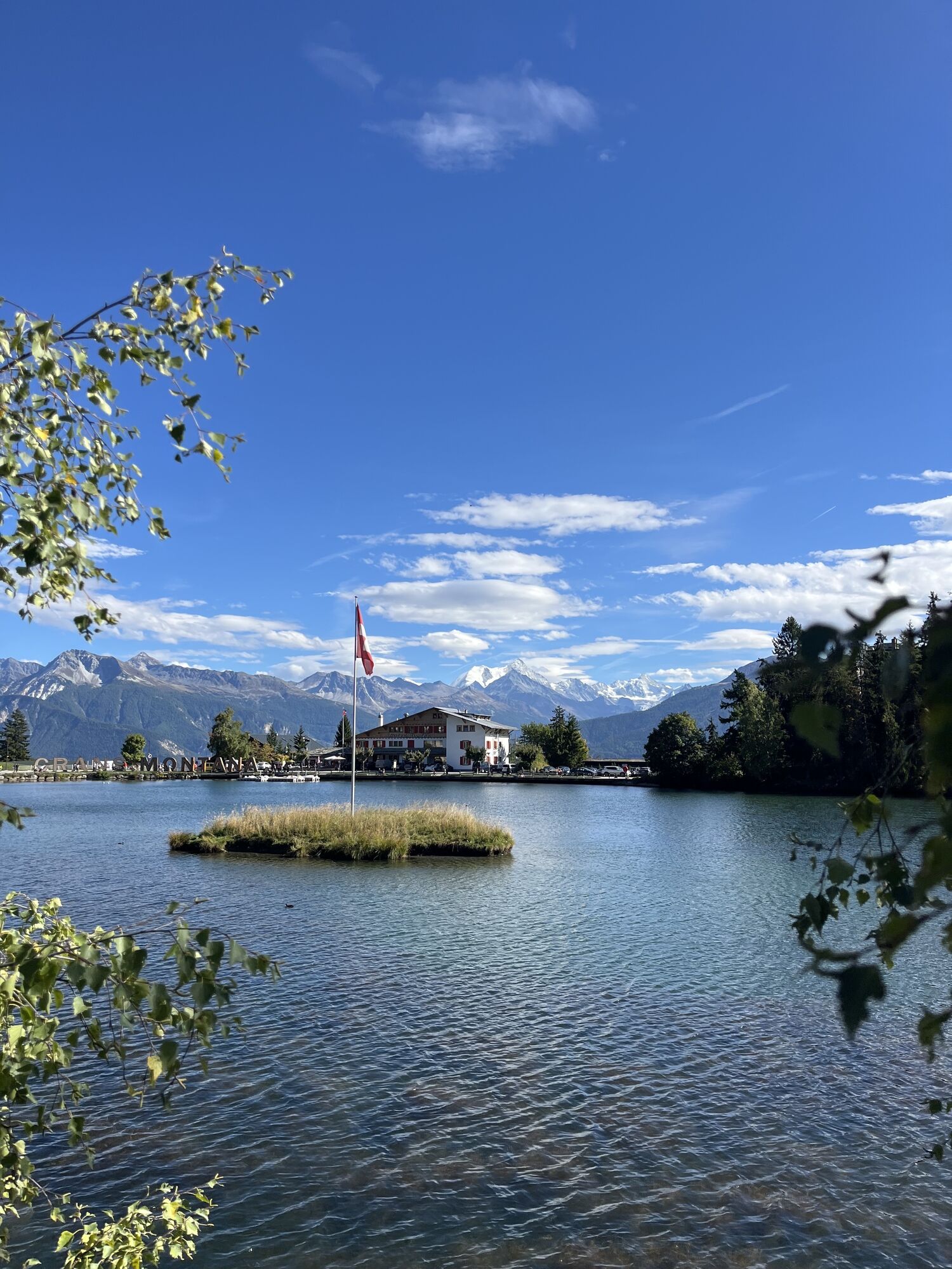
With this walk, which you can already undertake early in the season, you will circle the infrastructures that once contributed to the conveyance and distribution of water coming down from La Chaux and also from the legendary and famous Bisse du Ro, now replaced by the Mont-Lachaux gallery. If towards the end of winter, when on the ski slopes you must look for patches of snow to slide on, you start this hike which fluctuates between 1450 and 1650 meters, you will soon be convinced that spring is near. Indeed, it is then that water is everywhere. In the shaded corners of the forest, you see it disappear under the snow bridges to spring out further on with a crash. At the splitter, sometimes it steps over the locks to decide its own path. (DR)
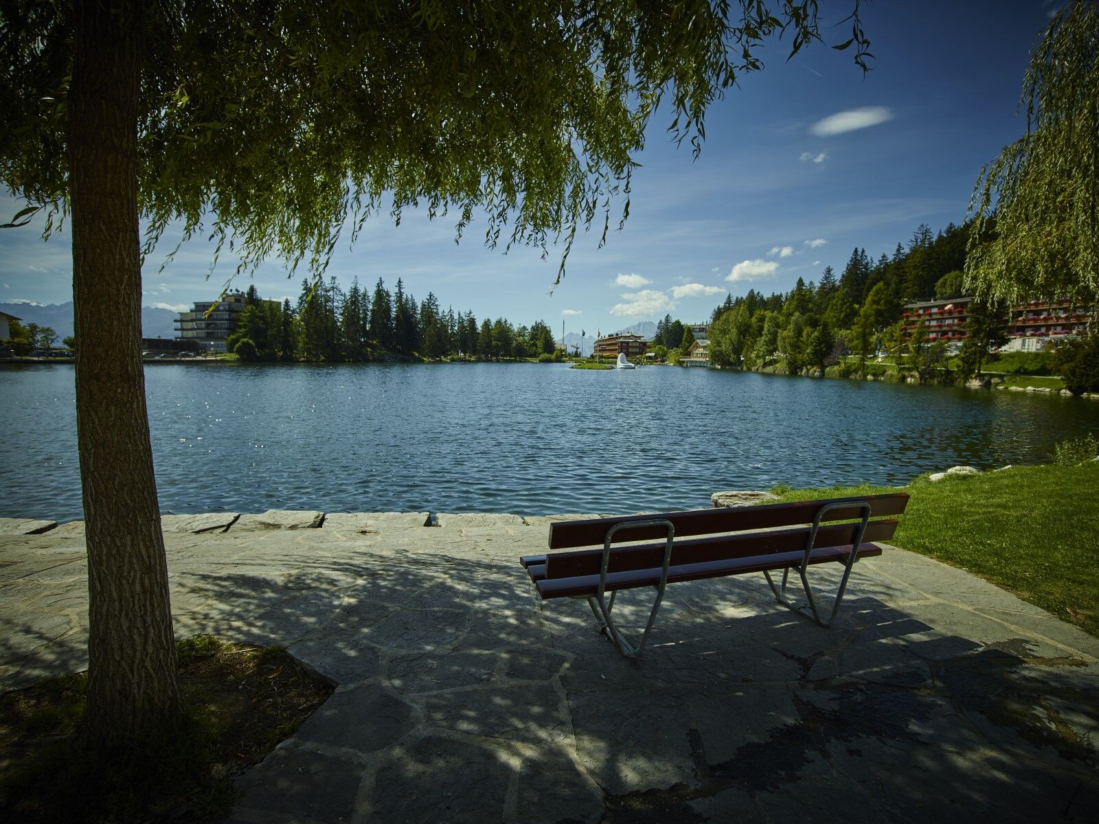
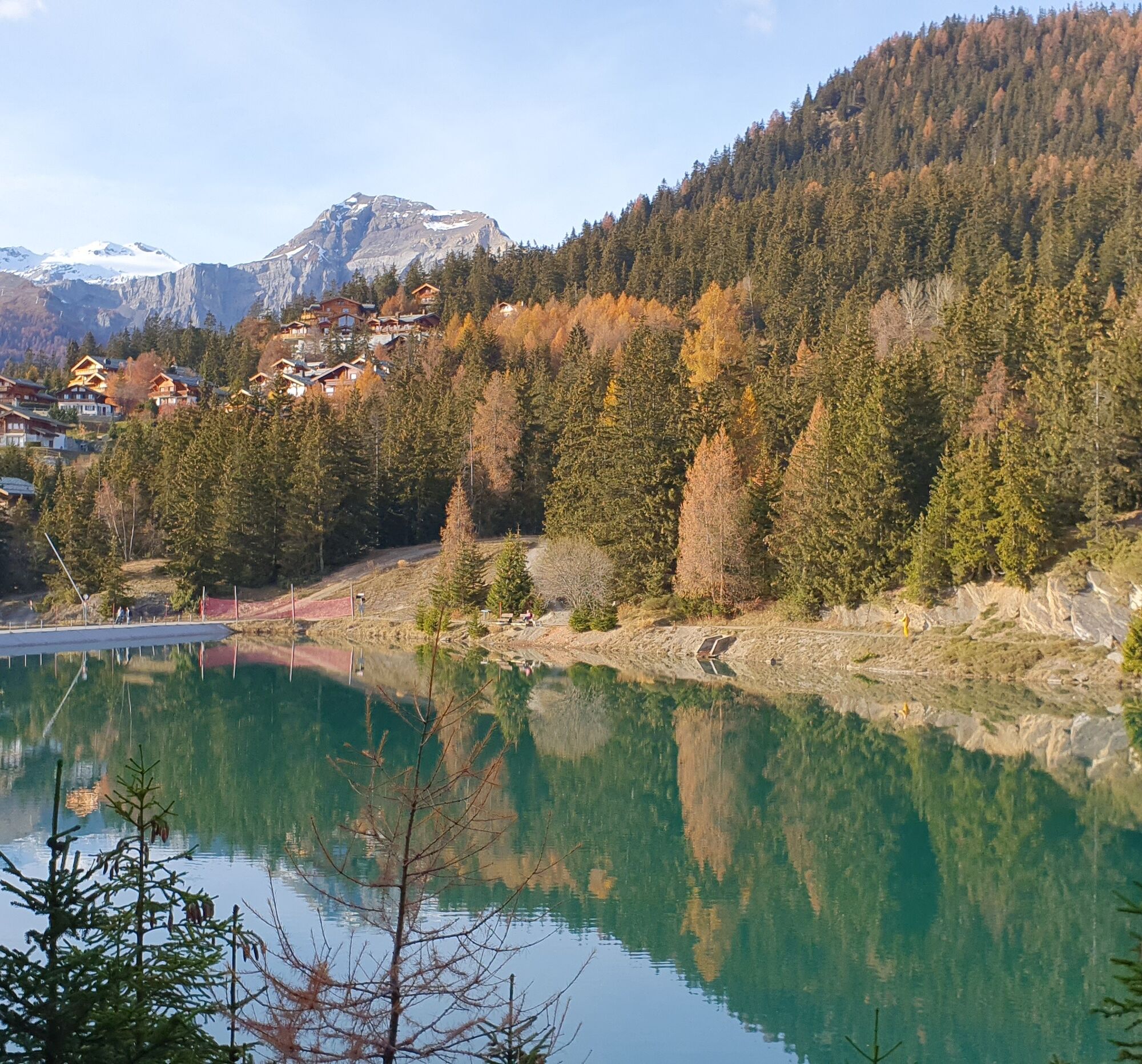
Departure from Lac d'Ycoor at Katherine Mansfield Alley - Lac Grenon - Promenade de l'Ehanoun - Le Plaza - Central Street - Departure of the Crans-Cry d'Er gondolas - Plans-Mayens - Chermignon Lake - Lac Grenon - Arrival at Lac d'Ycoor at Katherine Mansfield Alley
Ano
Ano
Good walking shoes.
The weather changes quickly at altitude, so plan to bring some clothing.
Follow the marked trails. Please respect the fauna, flora: nature.
Check the weather conditions before your departure.
Crans-Montana Tourism & Congresses declines all responsibility in case of an accident.
To reach Crans-Montana by car, take the A9 motorway exit (Rhône motorway) called "Sierre ouest". At the motorway exit, turn left and follow the signs indicating "Sierre". At the roundabout, turn right. Continue for 500 meters then, at the entrance to Sierre, turn left towards "Crans-Montana". The travel time is approximately 20 minutes. Once arrived in Crans-Montana, follow the signs to reach the Ycoor forum then Stéphani parking.
The Crans-Montana resort is accessible from Sierre train station with the SMC bus company or the funicular as well as from Sion train station with post buses.
The free shuttles of the SMC bus company serve the entire Crans-Montana resort.
The closest stop to the start of the hike is: Ycoor.
Address: Rue Théodore Stéphani, 3963 Crans-Montana
Indoor paid parking: 140 spaces
For any other information: www.crans-montana.ch/rando
The route remains on easy terrain with possible shortcuts depending on your motivation.
Oblíbené prohlídky v okolí
- 4.0
Gemmipass - Lämmerenhütte - Rote Totz Lücke - Daubensee - Gemmipass
středníTuristika 13.7 km - 4.0
Grand Bisse de Lens
světloTuristika 8.73 km - 4.0
Tripon - Brac – Ancien Bisse du Torrent Neuf – St. Marguerite – Torrent Neuf – Prafirmin - St. Germain
světloTuristika 12.9 km - 4.7
Leukerbad - Gemmipass - Lämmerenhütte
středníTuristika 9.49 km - 4.0
Wolfstritt
Turistika 7.02 km - 4.0
Belvédère via ferrata
středníVia ferrata 1.81 km - 5.0
Klettersteig Daubenhorn
heavyVia ferrata 5.34 km - 5.0
Wildstrubel Umrundung 4-Tage
středníTuristika 79.1 km Torrentalp - Rinderhütte
Turistika 4 km- 5.0
777 (Flaschen- Torrentalp- Rinderhütte)
Turistika 3.50 km
Pěší turistika a stopování


Nenechte si ujít nabídky a inspiraci pro vaši příští dovolenou
Vaše e-mailová adresa byl přidán do poštovního seznamu.