



Tseuzier The Route Around the Lake


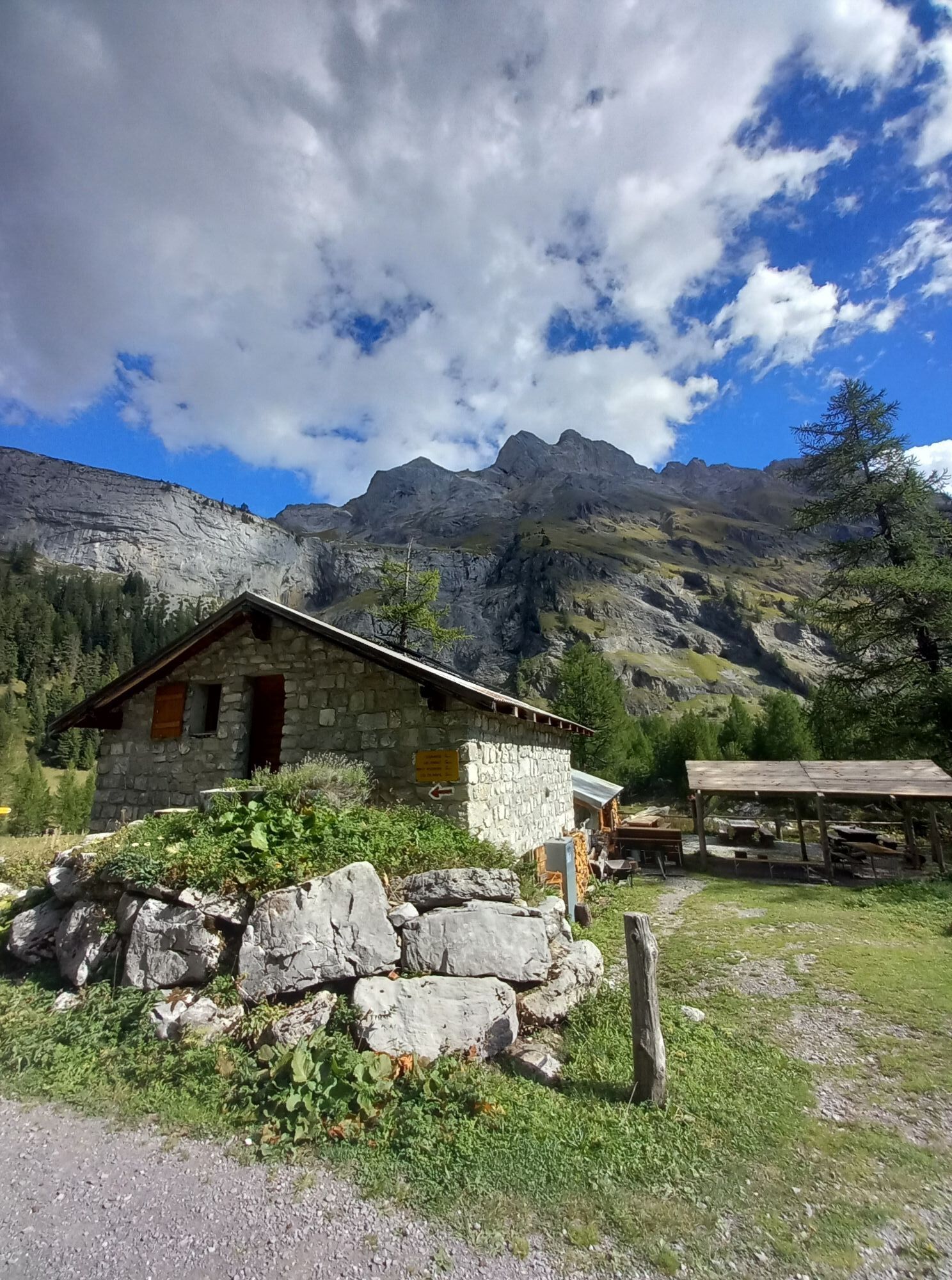
To roughly summarize the meteorological aspect, one could say that if a cloud passes, it rains. For this reason, in doubtful weather, it is best to go in the morning, by car or postbus. The route around...
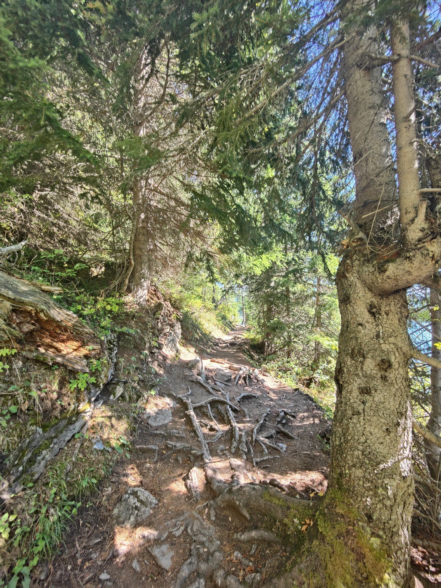
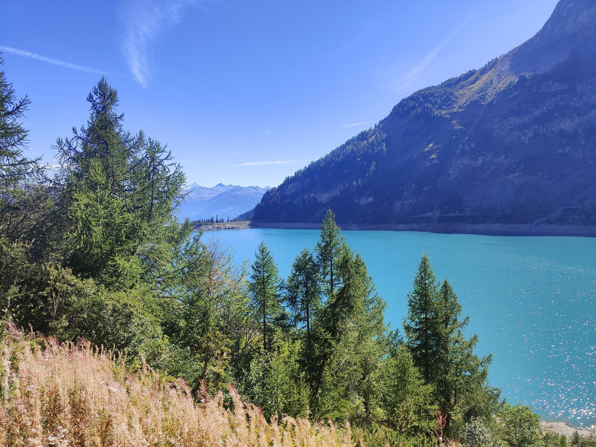
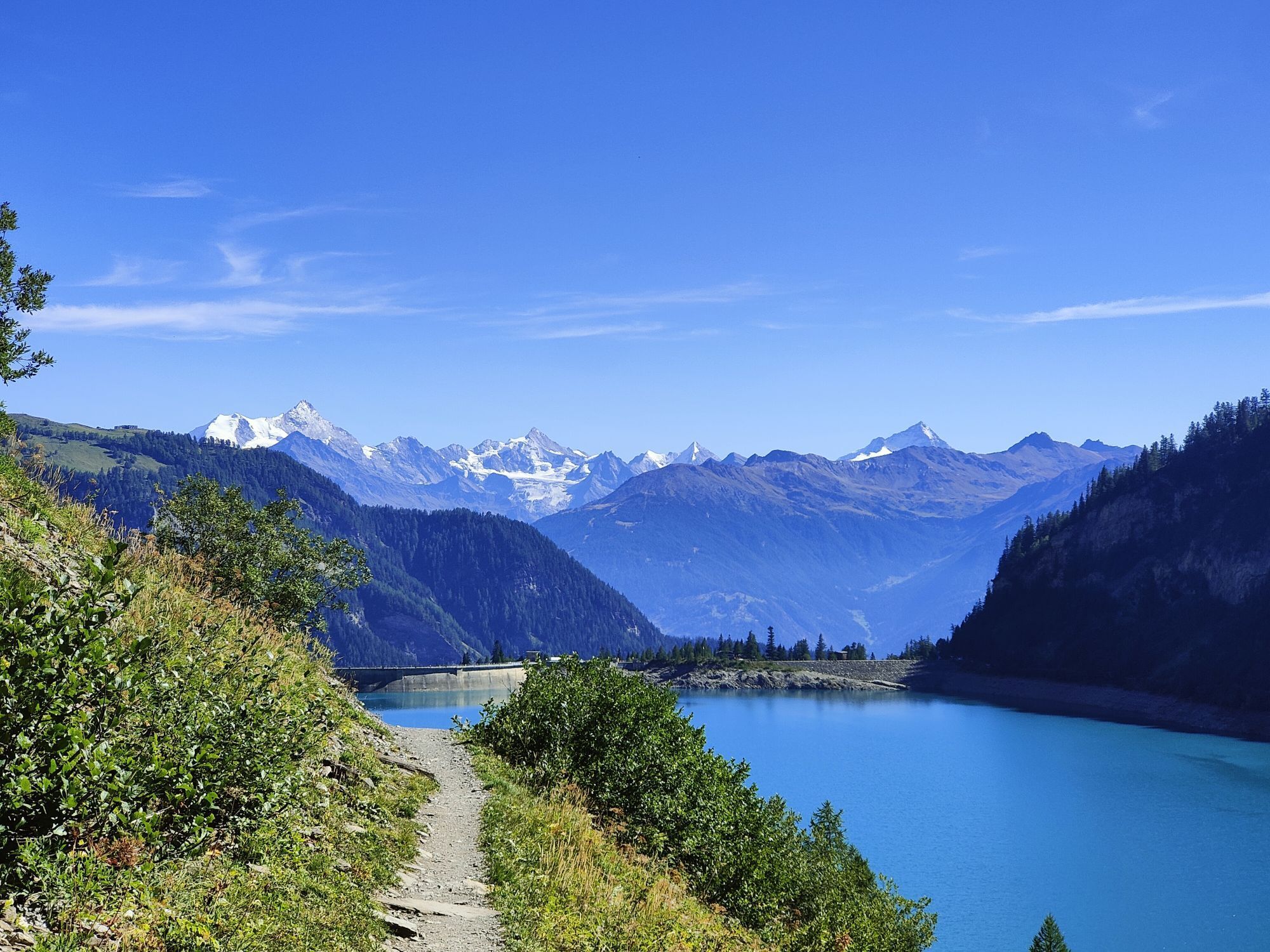
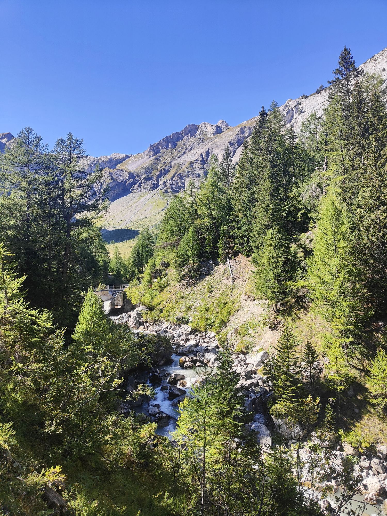
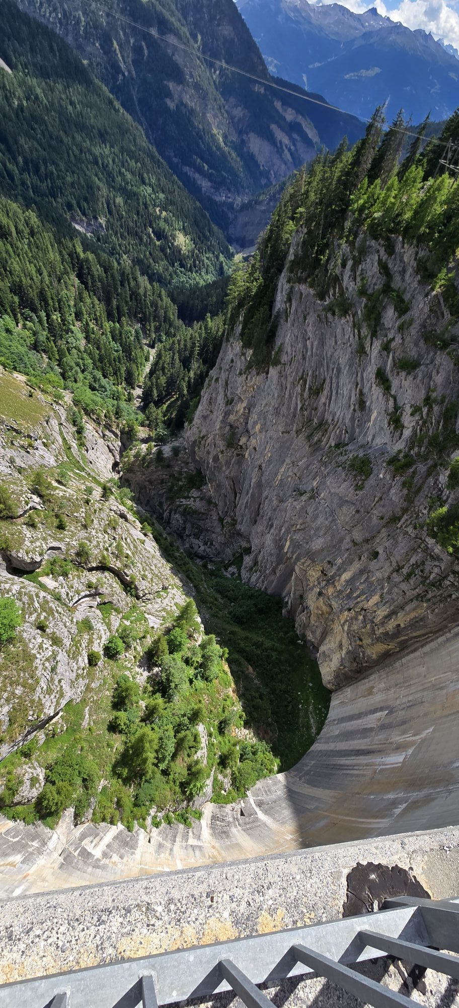
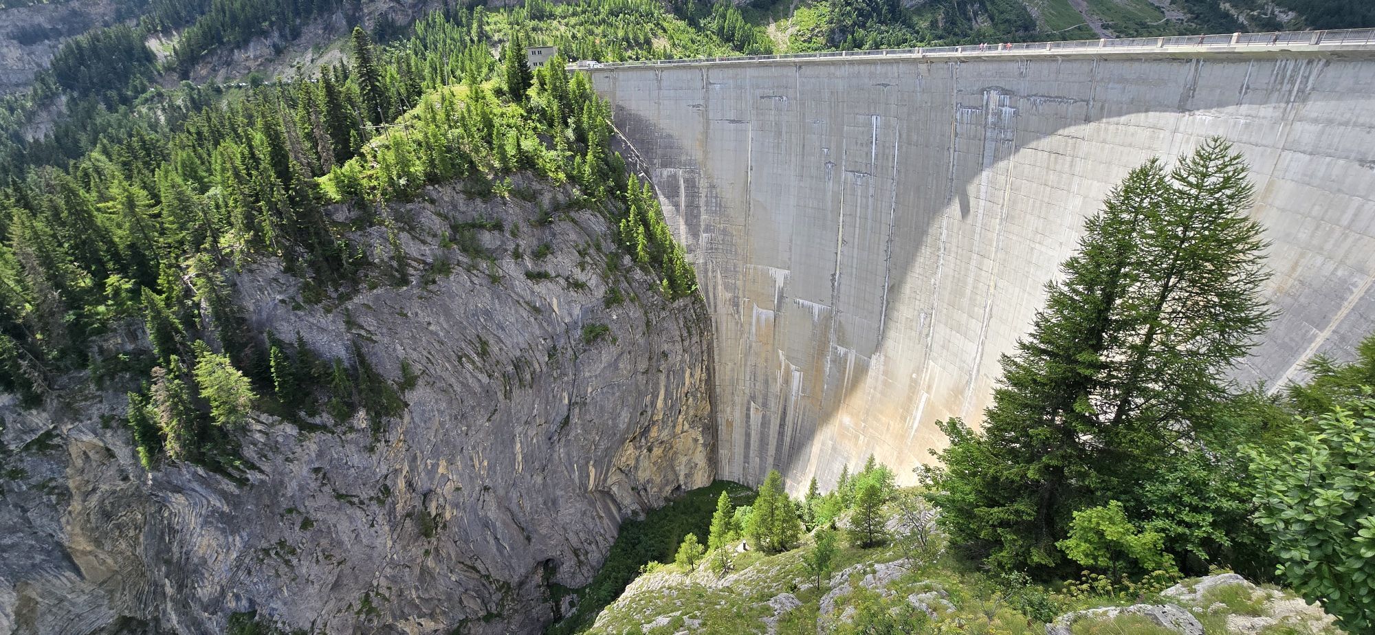
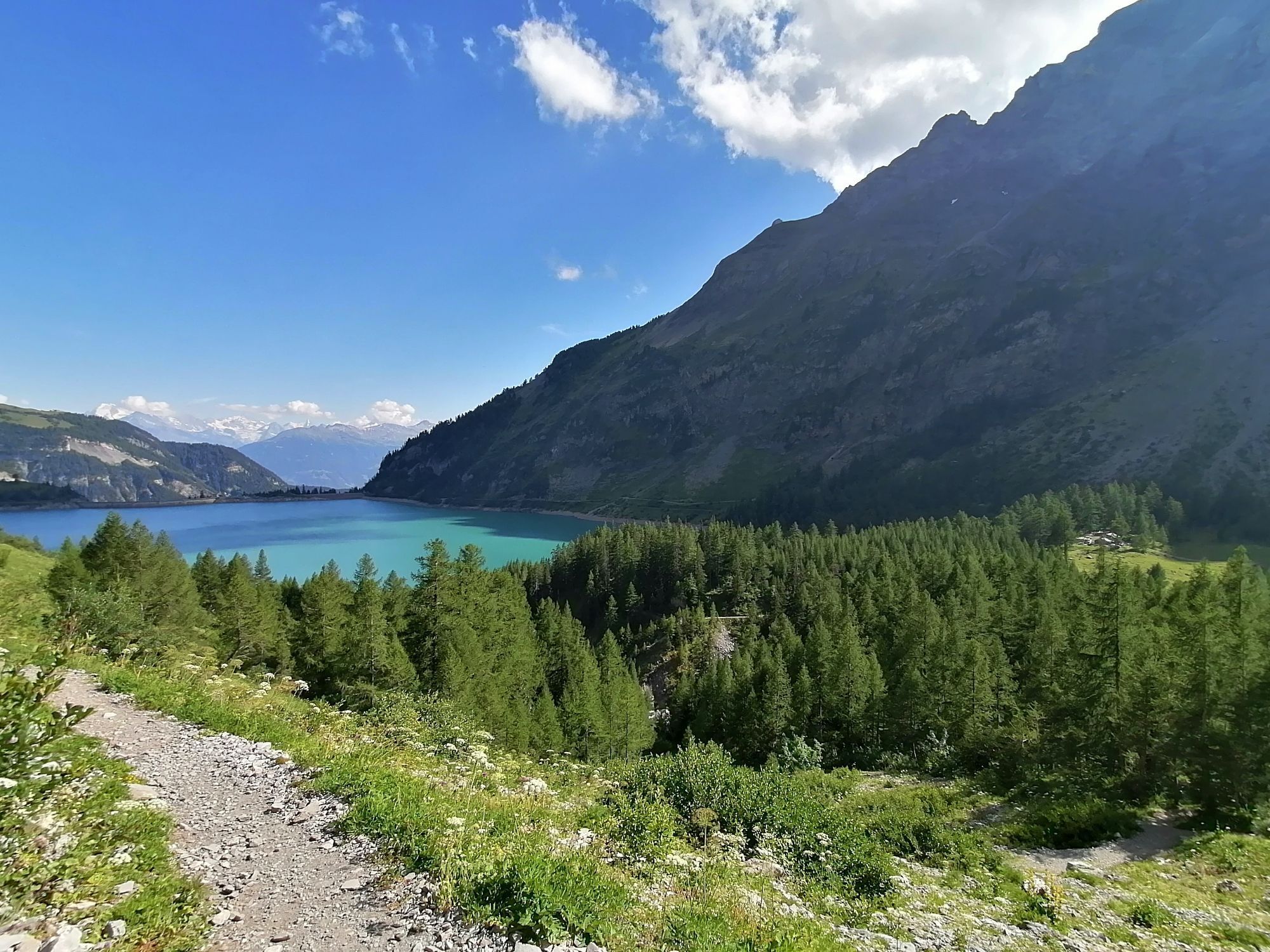
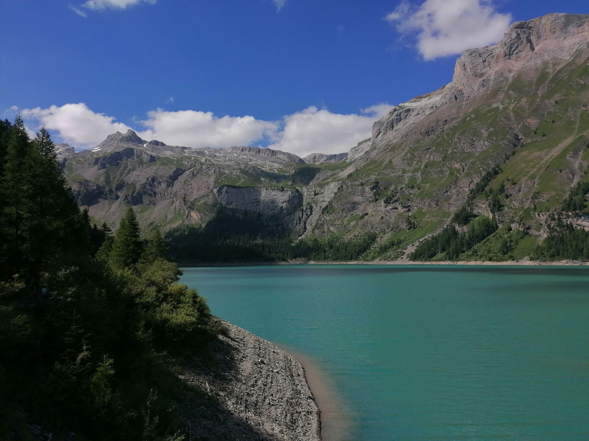
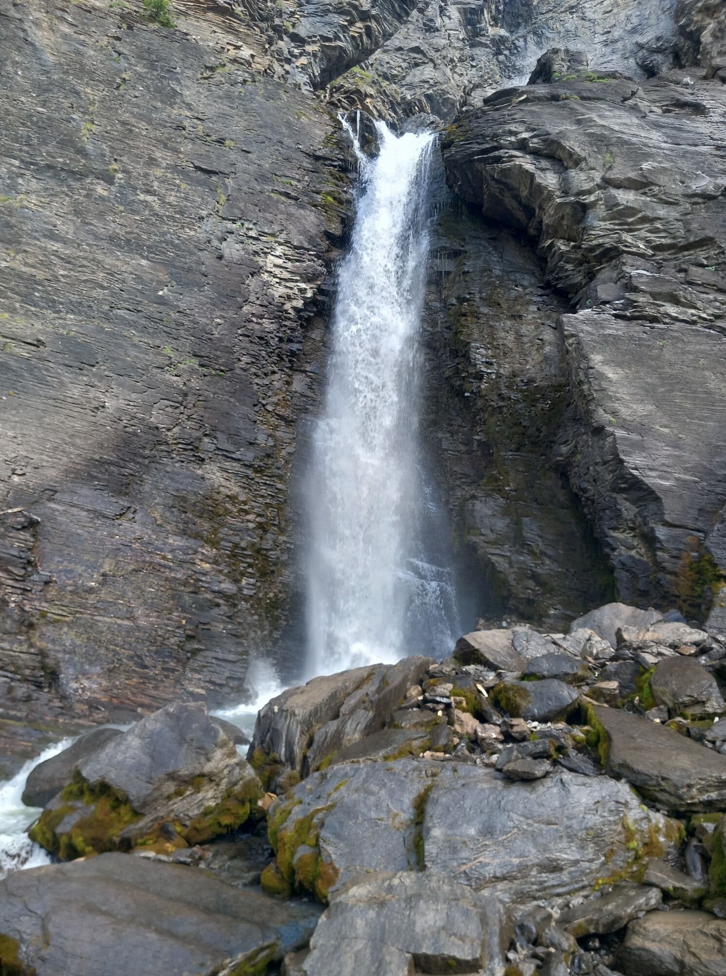
To roughly summarize the meteorological aspect, one could say that if a cloud passes, it rains. For this reason, in doubtful weather, it is best to go in the morning, by car or postbus. The route around the lake is an easy hike, almost flat, but oscillating on an 80-meter altitude difference, without great risks. However, the circuit takes one to two hours. You will pass by the earth dam of Pro Rion before arriving on the rocky spur where, near the building, you will find explanations about the Tseuzier - Lienne hydroelectric complex. Then you will pass over the concrete dam crest. Below, there is 156 meters of clearance. Then you will take the path that runs along the mountain flank to arrive at the back of the lake where you can see water gushing from the rock through huge springs that the ancients called "Les Loquess." Then you will see the water intake of a bisse. It is the bisse of Sion. You will follow it until it continues covered on the path by which you will find your starting point again. (DR)

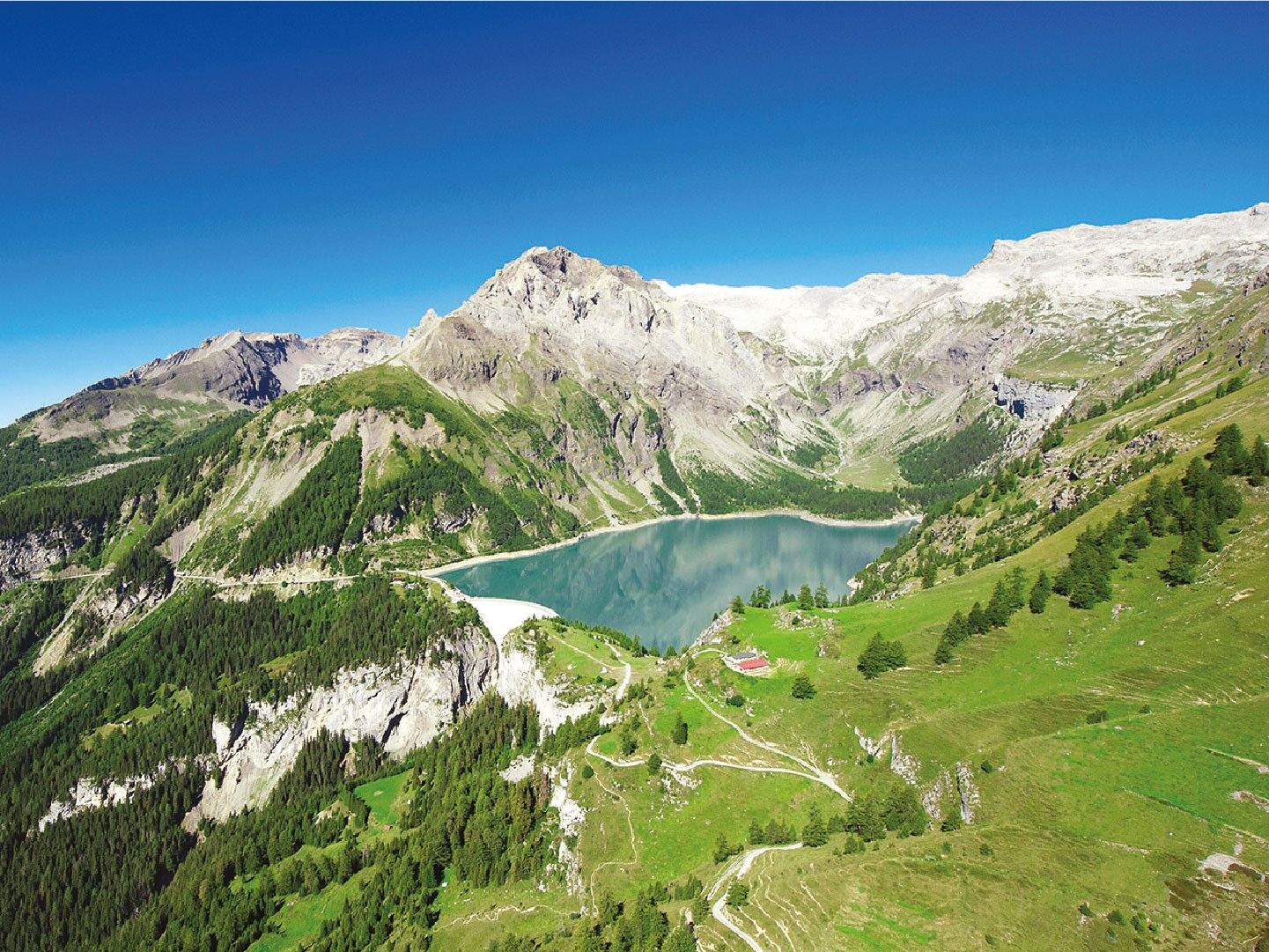
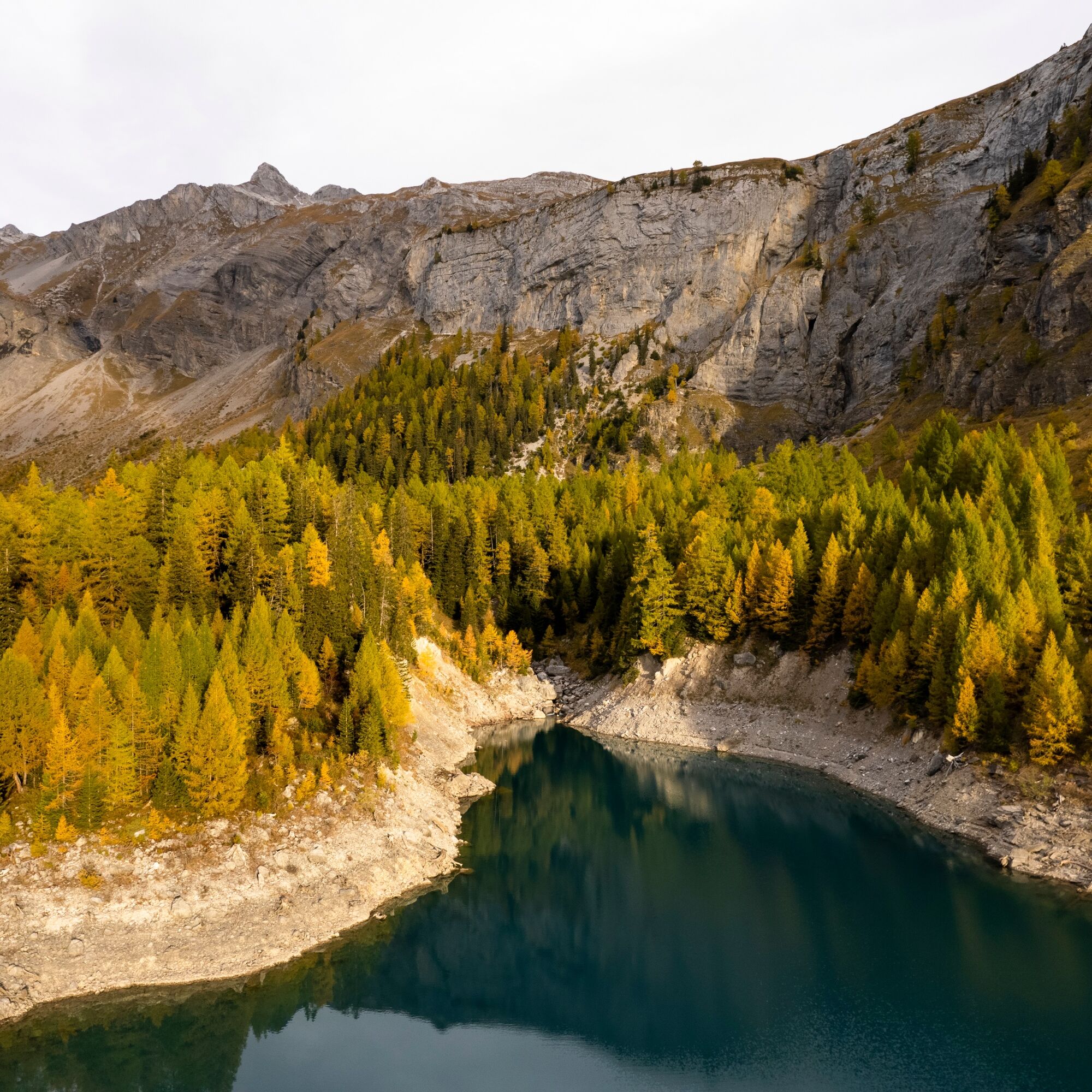
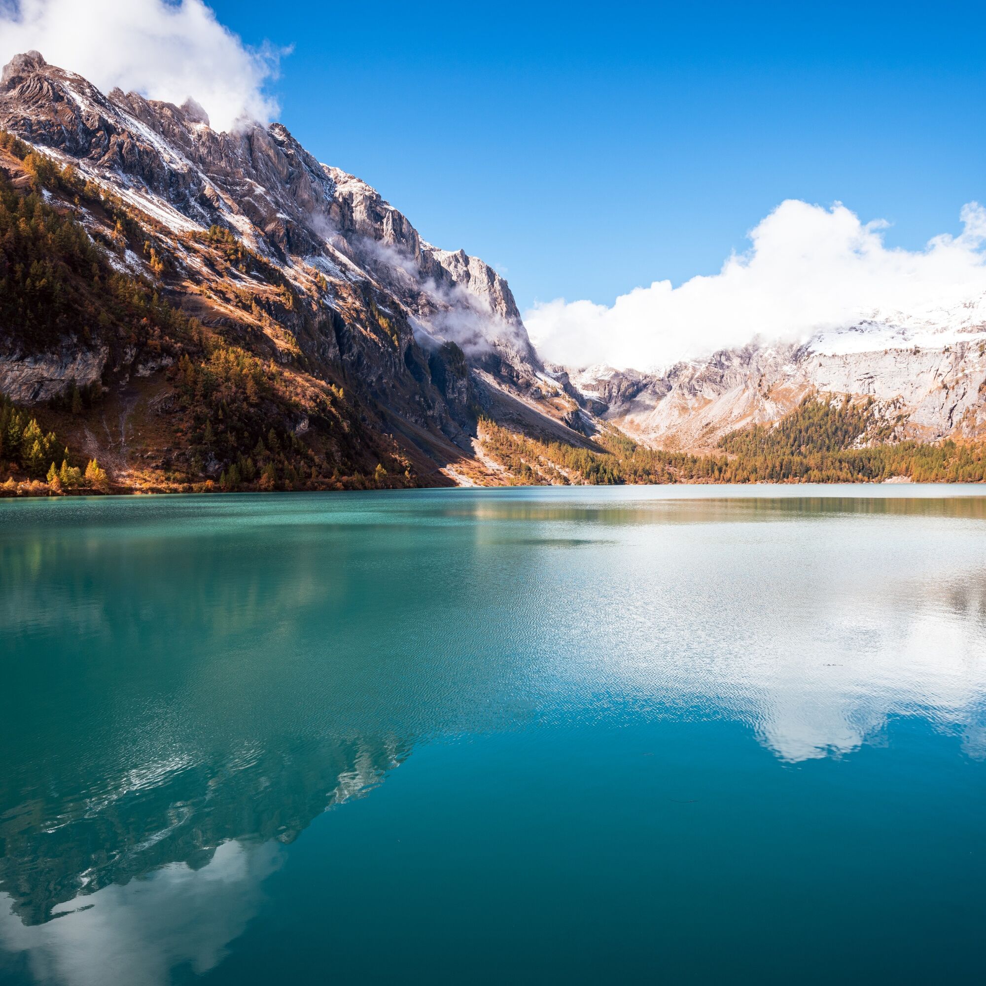

Start from Lake Tseuzier, near the parking lot, take the route around the lake passing by the Bisse de Sion path to return to the starting point.
Ano
Ano
Good walking shoes.
The weather changes quickly in altitude, so plan suitable clothing.
Follow the marked trails. Please respect the wildlife, flora: nature.
Check the weather conditions before your departure.
Crans-Montana Tourism & Congress declines all responsibility in case of accident.
Take the Sion 'East' highway exit and follow the direction to Ayent, then when you arrive at Botyre take the direction Tseuzier/Rawyl Dam. The journey takes about 40 minutes from the highway exit to your final destination.
From Crans-Montana, it is also possible to reach the Tseuzier Dam. First, take postbus 353 towards Sion from the stop: "Crans, Poste". Then exit at the stop: "Botyre (Ayent), Le Creux". Finally, take the postbus on the other side of the road to "Anzère, Tseuzier Dam". Timetable link: https://www.crans-montana.ch/horaires_bus_cm_tseuzier.
There is free parking near the Rawil Dam, next to the start of the hike.
For any other information: www.crans-montana.ch/rando
Many walks, hikes, or excursions depart from Tseuzier. At the corner of the lake, right after the road arrives, you will see an information sign about this. For example, to go from Tseuzier to Crans, it would take you more than 3 hours.



Oblíbené prohlídky v okolí
-
5.0
Bisse du Ro
světloTuristika 11.2 km -
4.6
Leukerbad - Gemmipass - Lämmerenhütte
středníTuristika 9.49 km -
4.2
Grand Bisse de Lens
světloTuristika 8.73 km -
4.6
Lauenen - Höji - Bühlhaus Lauenensee
středníTuristika 9.03 km -
4.0
Gemmipass - Lämmerenhütte - Rote Totz Lücke - Daubensee - Gemmipass
středníTuristika 13.7 km -
4.0
Tripon - Brac – Ancien Bisse du Torrent Neuf – St. Marguerite – Torrent Neuf – Prafirmin - St. Germain
světloTuristika 12.9 km -
5.0
Klettersteig Daubenhorn
heavyVia ferrata 5.34 km -
Zu den Engstligenfällen
středníTuristika 8.06 km -
5.0
Grand bisse d’Ayent
středníTuristika 11.7 km -
5.0
Family-friendly Tsittoret bisse
světloTuristika 7.14 km
Pěší turistika a stopování


Nenechte si ujít nabídky a inspiraci pro vaši příští dovolenou
Vaše e-mailová adresa byl přidán do poštovního seznamu.


