







Tour du Val d’Anniviers: Pontis - Chandolin - St-Luc (Stage 1)
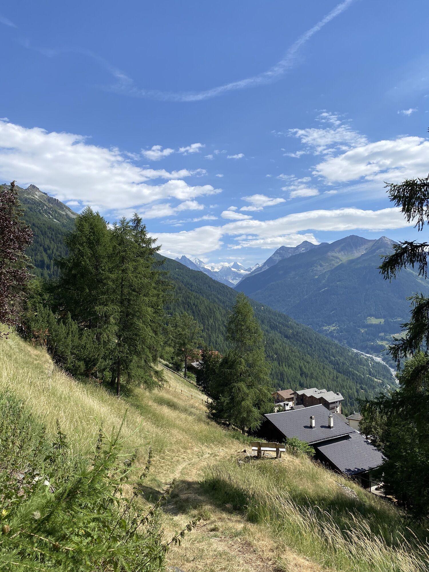
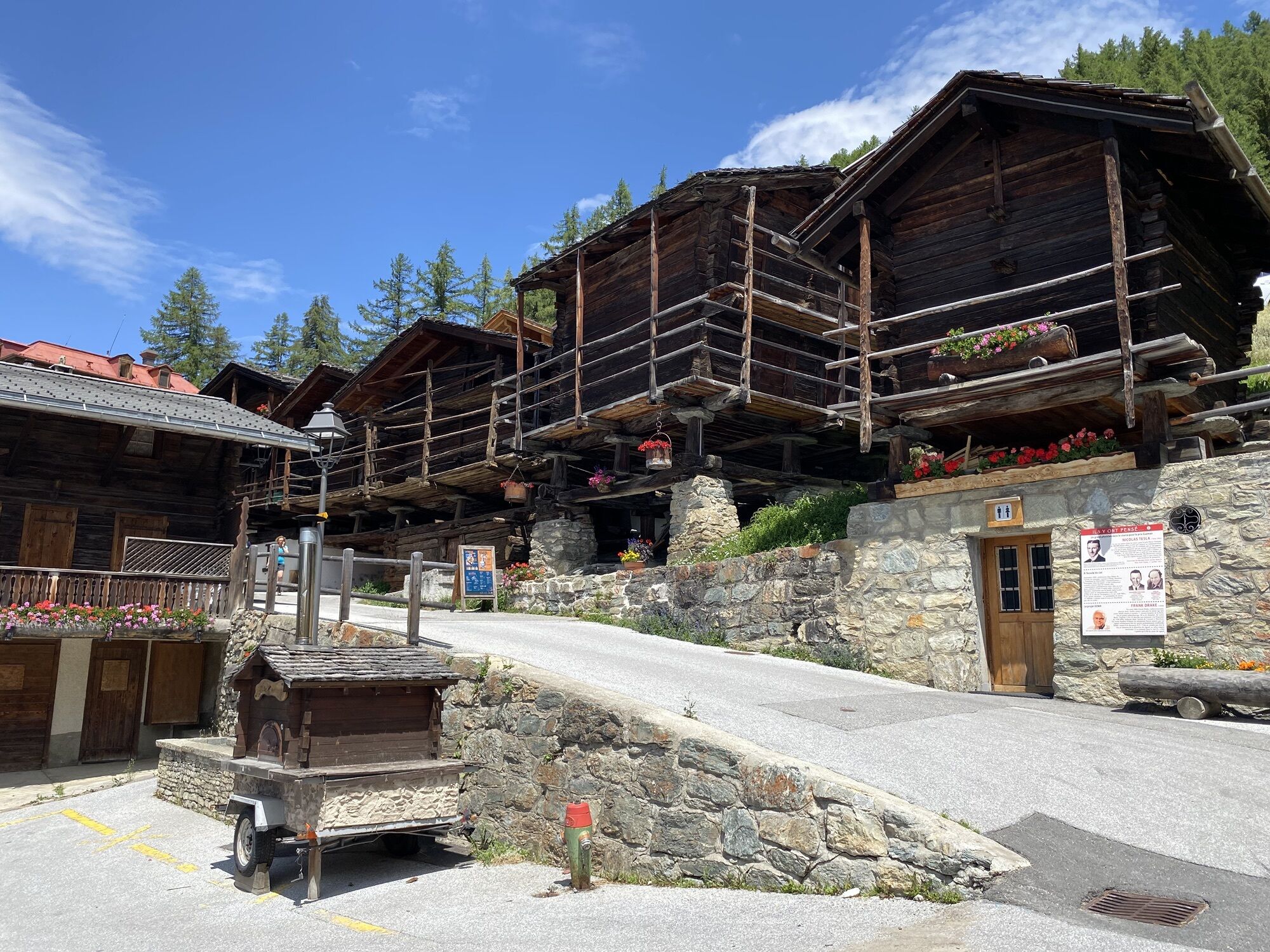
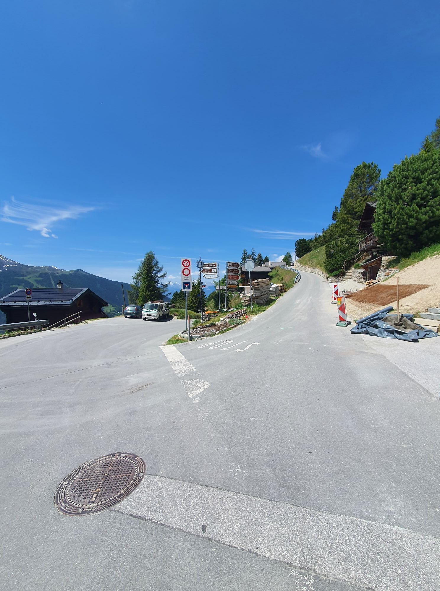
This beautiful hike runs along wooded slopes at the entrance to the Val d’Anniviers and passes through some historic hamlets and villages. Whether you end this stage in Chandolin or continue on to St-Luc,...
This beautiful hike runs along wooded slopes at the entrance to the Val d’Anniviers and passes through some historic hamlets and villages. Whether you end this stage in Chandolin or continue on to St-Luc, both places are well connected by post bus.
The drive to the starting point at the hamlet Les Pontis is already adventurous. The road climbs over 150 meters in a very short distance via hairpin bends and crosses a gorge before you reach Les Pontis. From the starting point at the bus stop, the path climbs steeply through the wooded slopes up to the hamlet Soussillon, where the view becomes increasingly spectacular.
Once you reach Chandolin, the path goes slightly downhill on the second half of the hike along the panoramic path to St-Luc. Both villages have their own charm:
Chandolin, with its sunny south exposure at 1956 meters above sea level, is one of the highest year-round inhabited villages in Europe. The pioneer photographer, writer and journalist Ella Maillart spent her last years there – a former church dedicates an exhibition to her.
St-Luc is known for its clear sky – witness to this is the astronomical observatory near the upper station of the funicular, which is open to the public. Other attractions include the planetarium, historic water mills, and the themed path "Chemin du Pain," which is dedicated to rye bread. For centuries, rye was cultivated to produce bread, which was baked three to four times a year in communal ovens into rye bread. Today, workshops are offered in which you can make your own Valais rye bread in the traditional way.
Highlights of the route
Diverse landscapes – from dramatic gorges, cooling forests, and over the panoramic path to St-Luc. Chandolin – one of the highest year-round inhabited villages in Europe. St-Luc – the picturesque village with historic hiking trails, water mills, and planetarium.
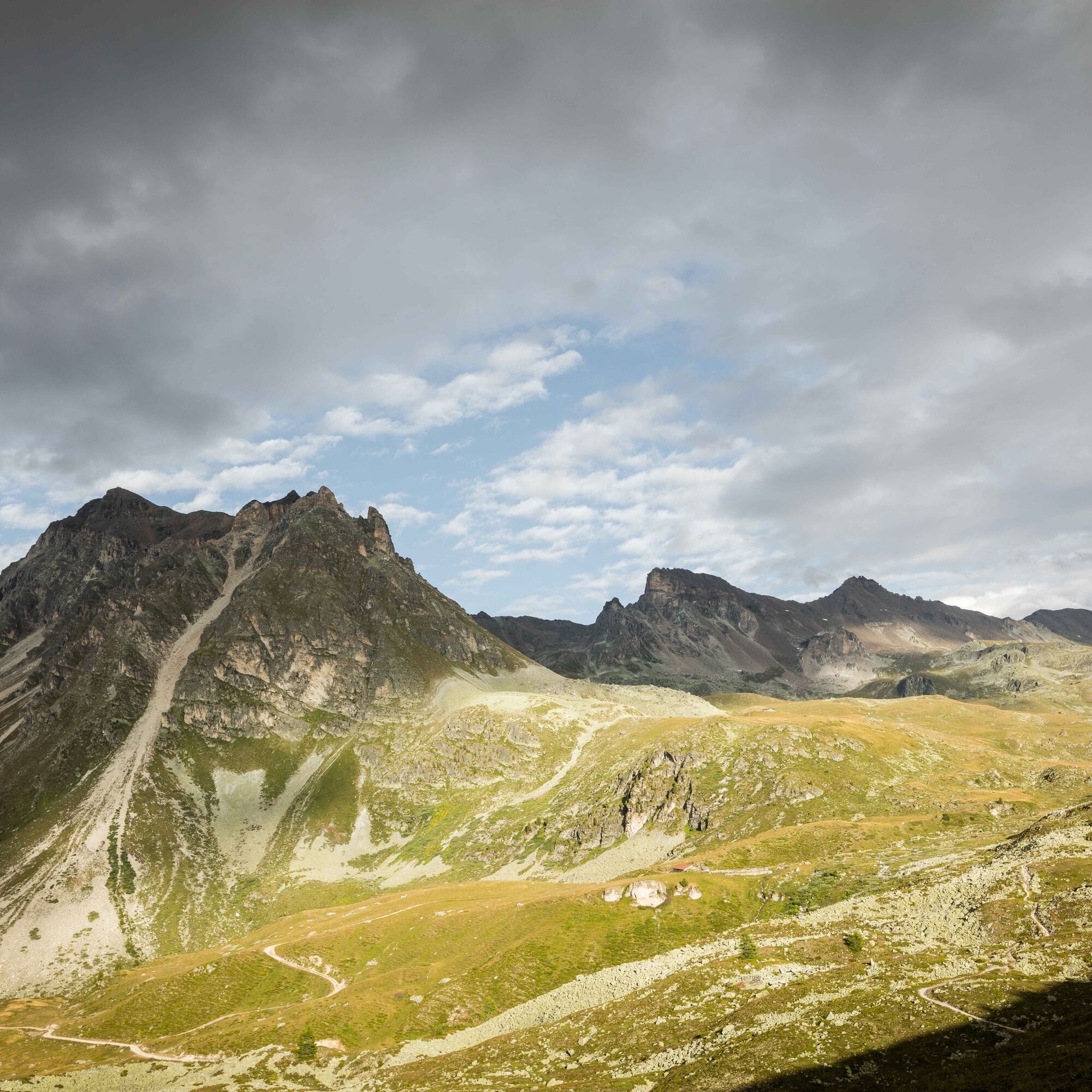
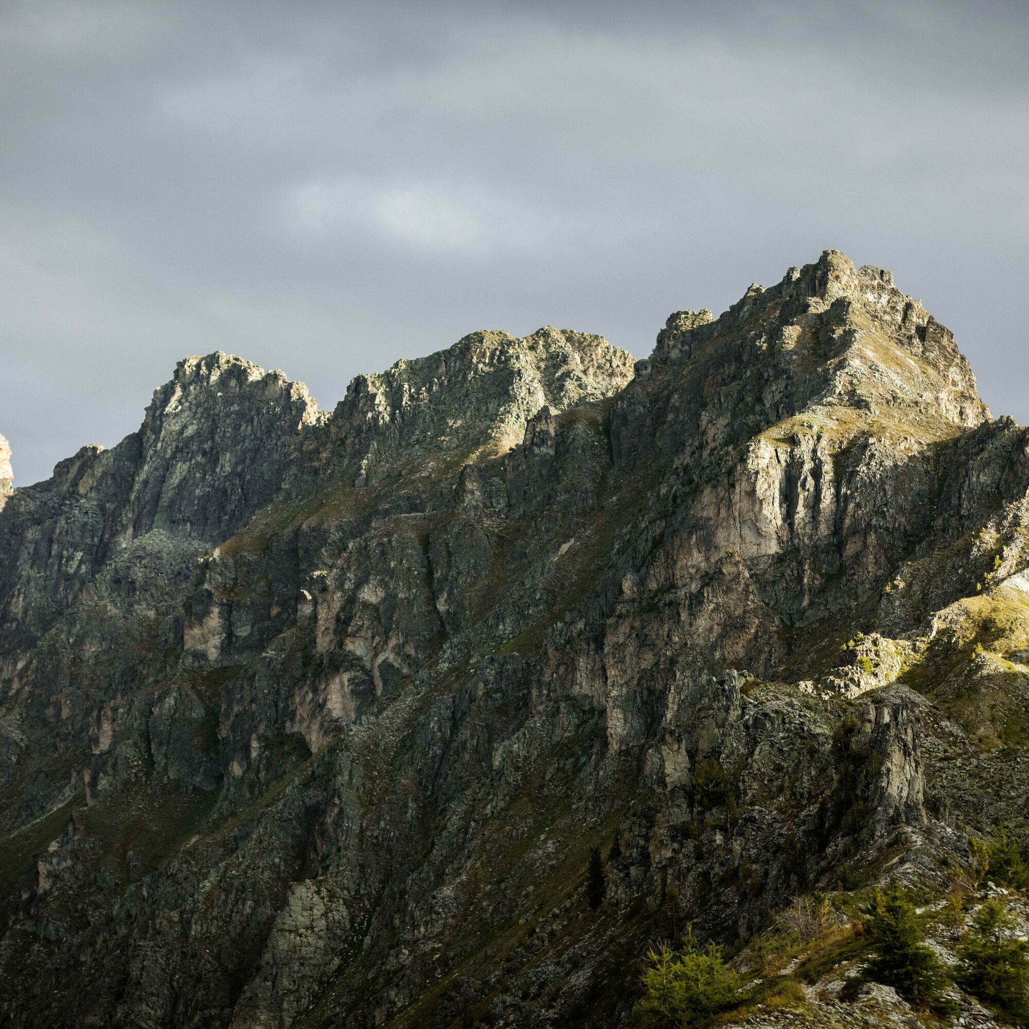
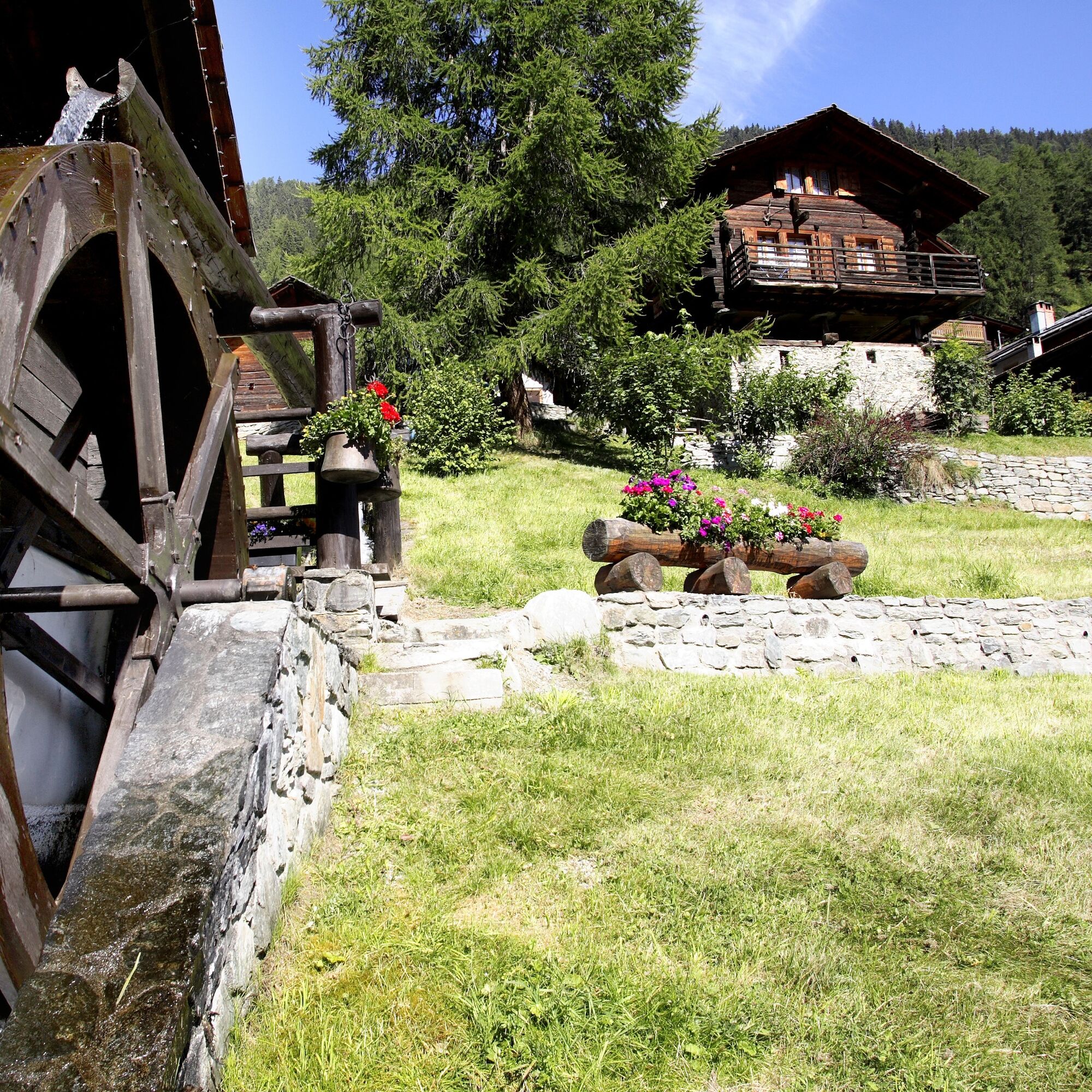

The route starts at the remote bus stop in the hamlet of Les Pontis. From the starting point at 1001 m above sea level, the path zigzags steeply uphill to the hamlet of Soussillon at 1388 m above sea level, which is reached after about an hour. The ascent continues further up to Chandolin at 1956 m above sea level.
The hiking trail now goes through the lower part of the village before gradually descending southwards via Le chemin historique to St-Luc at 1655 m above sea level.
If you want to shorten the hike, you can take the post bus from Chandolin to St-Luc.
We recommend:
Good footwear Weather-dependent clothing: always carry a waterproof vest Headgear Sunscreen Water bottle Picnic Camera Binoculars (optional) Walking sticks (optional) Printout of the hiking trail (click "Print" to download)For certain hikes:
SwimsuitThis route has not been approved by the canton of Valais according to the law on recreational paths. The use of the routes and the information on this website is the responsibility of the respective user. Local conditions can lead to changes to the route. We assume no responsibility for the accuracy and completeness of the information on the website.
The mountains, a place of joy for sharing and respecting. The mountain world is a place to meet and experience unforgettable moments together – whether by bike or on foot. To allow all users to benefit, it is essential to share this space with respect towards nature and agriculture. Respectful behavior allows everyone to enjoy their leisure activities under the best conditions. Inform yourself about recommendations and rules. Assess your own skills and fitness well. Using the various routes is basically at your own risk.
For all hikes:
Carry a map with you. Download the full description of the hiking trail with a large-scale map by clicking "Print" at the top right of the page. Only use marked hiking trails and follow all signs and instructions – for your own safety, to protect grazing animals, and out of respect for wildlife. Close gates after passing through them. Behave considerately towards other trail users, plants, and animals.For mountain hikes:
Carry additional sun protection. UV rays can be very strong at high altitude, even in cloudy weather. Plan your hike carefully: take into account the required fitness level of all participants, weather forecasts, and seasonal factors. Weather conditions can change very quickly and without warning in the mountains. Appropriate clothing and sufficient provisions (food and drink) are very important. In unstable weather, better turn back early.For high alpine hiking:
Inform your family about your hiking route. Avoid hiking alone if possible. Do not go on glaciers without a mountain guide. Observe warning signs indicating dangers at riverbanks, along watercourses below dams and reservoirs: water levels can rise quickly and without warning.Highway A9, exit 29 (Sierre-East), follow the signs towards Val d’Anniviers.
Regular train connections to Sierre, then by post bus towards Vissoie to the stop "Les Pontis". At the end of the hike take the post bus to Vissoie and change there towards Sierre. Timetables for trains and post buses can be found at sbb.ch.
Parking in Vissoie, then by post bus towards Sierre to the stop "Les Pontis". At the end of the hike take the post bus to Vissoie.
More information about the destination:
Val d'AnniviersThe Anniviers Liberté Pass includes a 50 percent discount on the funicular and free travel on the post bus as well as other activities.
Webové kamery z prohlídky
Získejte přehled
Vždy živě na místě s více než 9 500 webkamerami. bergfex Jako uživatel Pro si nyní můžete zobrazit odpovídající webové kamery pro mnoho prohlídek v aplikaci prohlídky z. Můžete si tak přímo prohlédnout aktuální podmínky.
Oblíbené prohlídky v okolí
-
5.0
Bisse du Ro
světloTuristika 11.2 km -
4.2
Grand Bisse de Lens
světloTuristika 8.73 km -
5.0
Bella-Tola
středníVysokohorská turistika 6.72 km -
5.0
Torrenthorn- Rigi der Walliser Alpen
Turistika 2.99 km -
Gratweg
Via ferrata 5.16 km -
4.0
Wolfstritt
Turistika 7.02 km -
Talabfahrt (Rinderhütte-Tunnel-Folljeret-Leukerbad)
Turistika 7.78 km -
5.0
Family-friendly Tsittoret bisse
světloTuristika 7.14 km -
4.0
Belvédère via ferrata
středníVia ferrata 1.81 km -
5.0
Grand bisse d’Ayent
středníTuristika 11.7 km
Pěší turistika a stopování


Nenechte si ujít nabídky a inspiraci pro vaši příští dovolenou
Vaše e-mailová adresa byl přidán do poštovního seznamu.





