


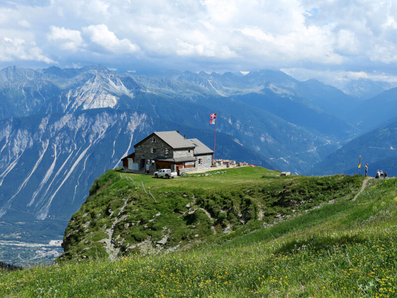
Cabane des Violettes
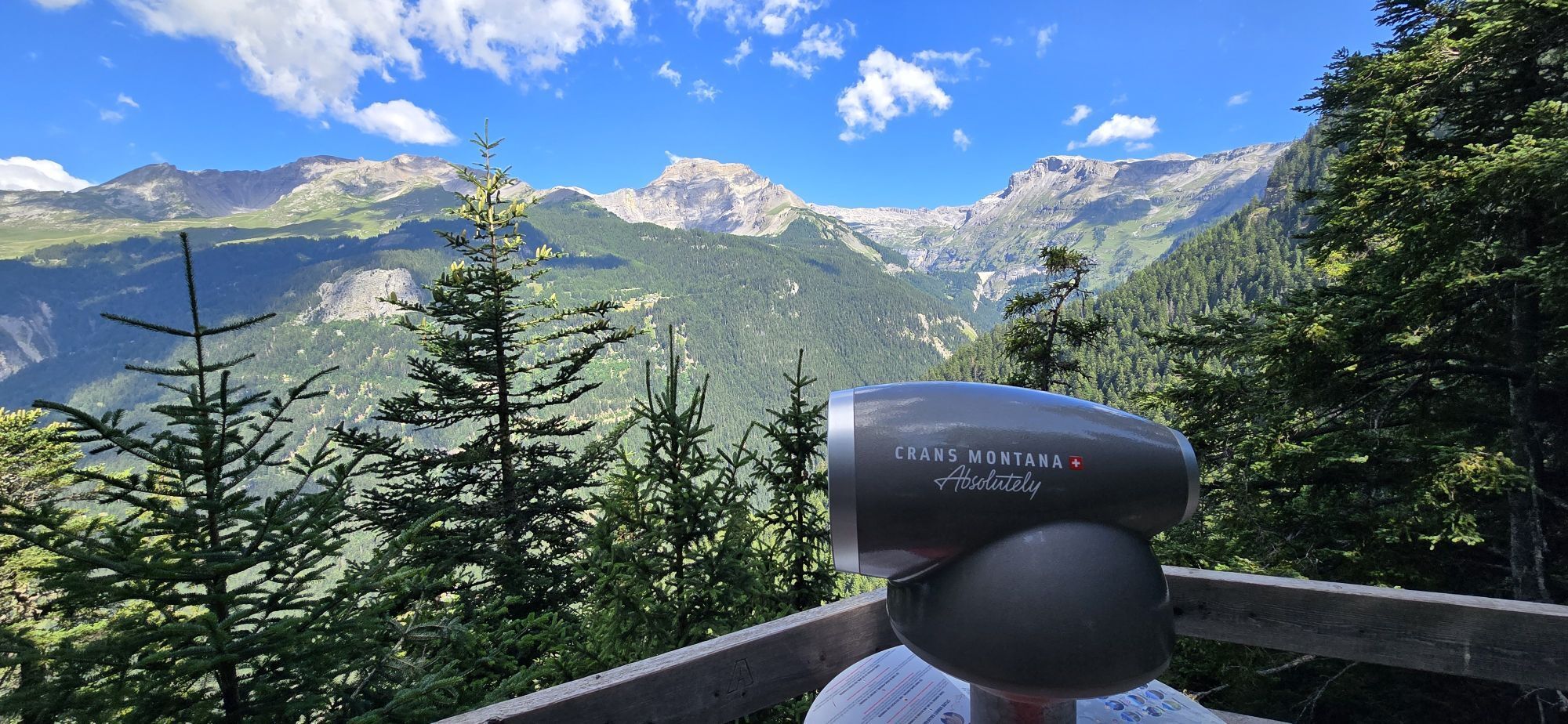
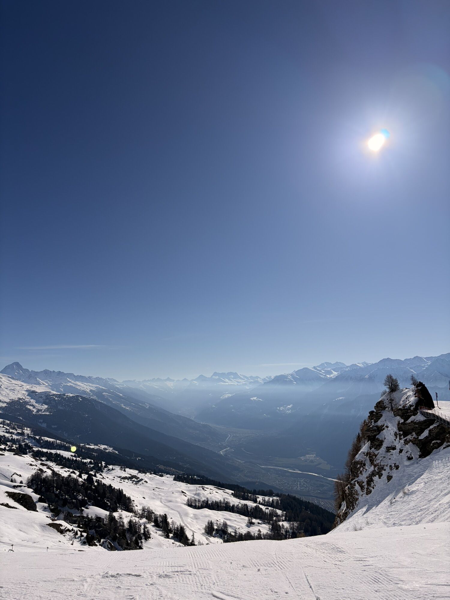
Departure from Crans, taking one of the various paths to the very beautiful Cabane des Violettes for a well-deserved night. The next day, walk towards the Plaine-Morte to cross the Pochet pass then descend...
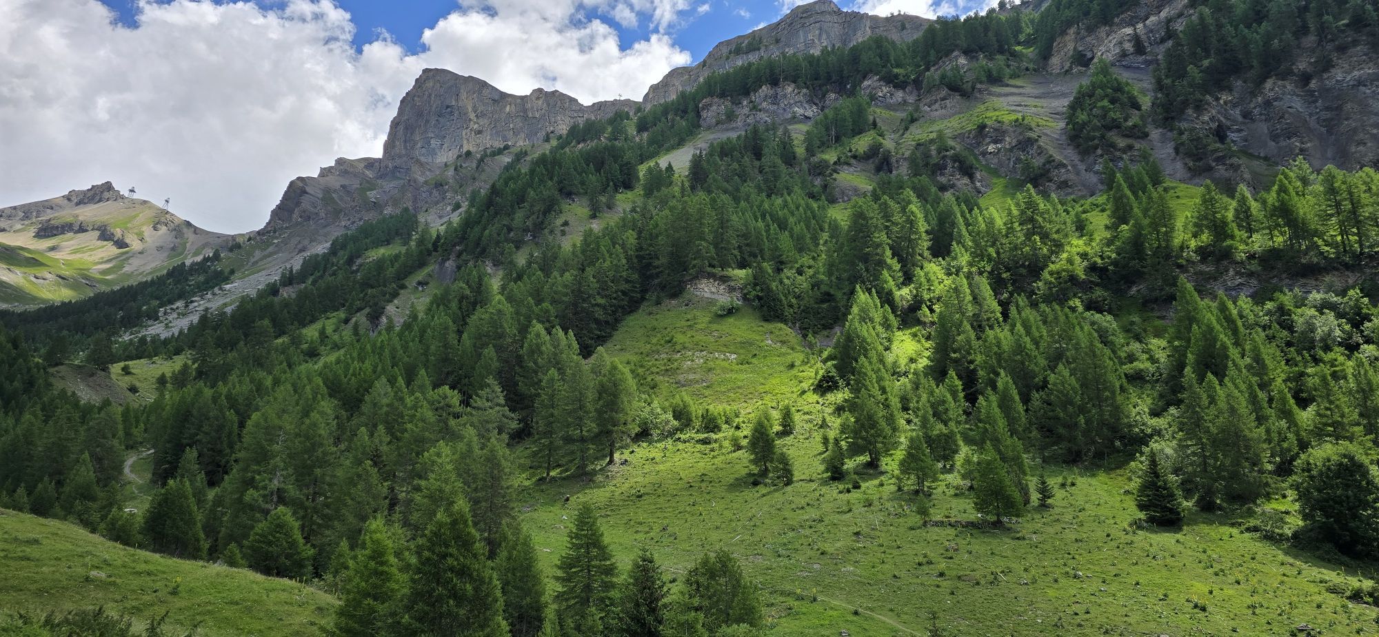
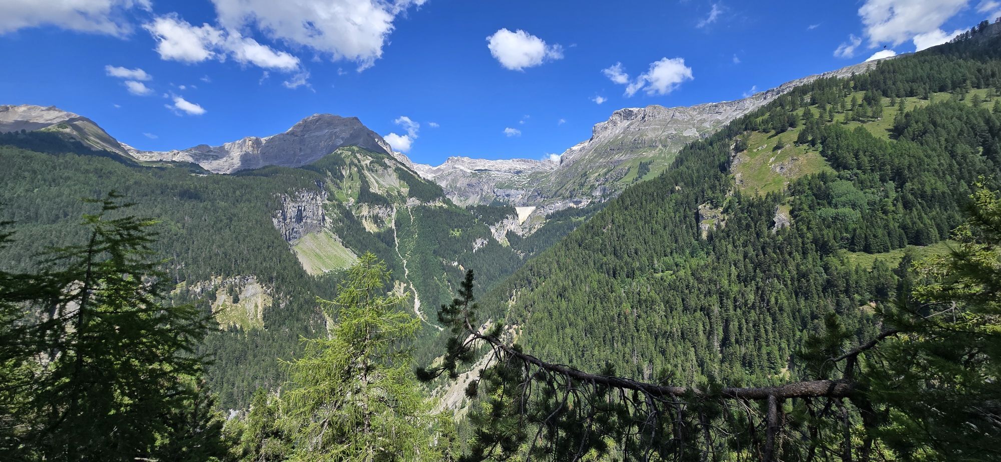
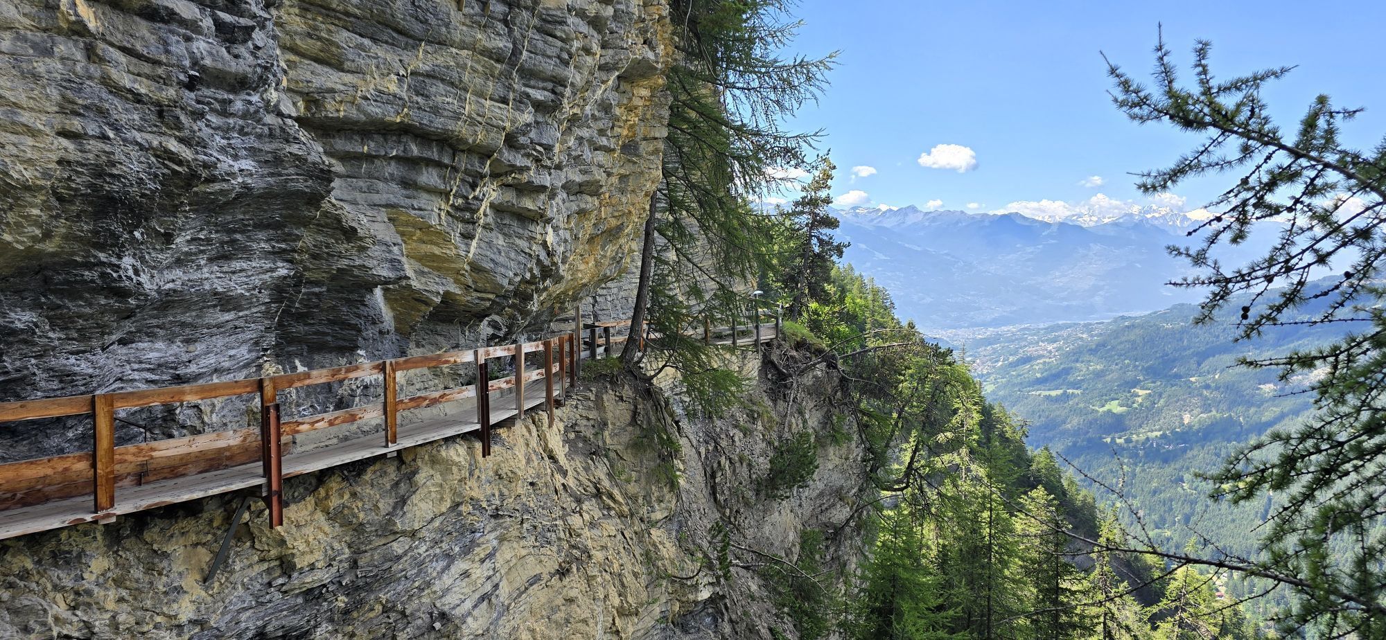
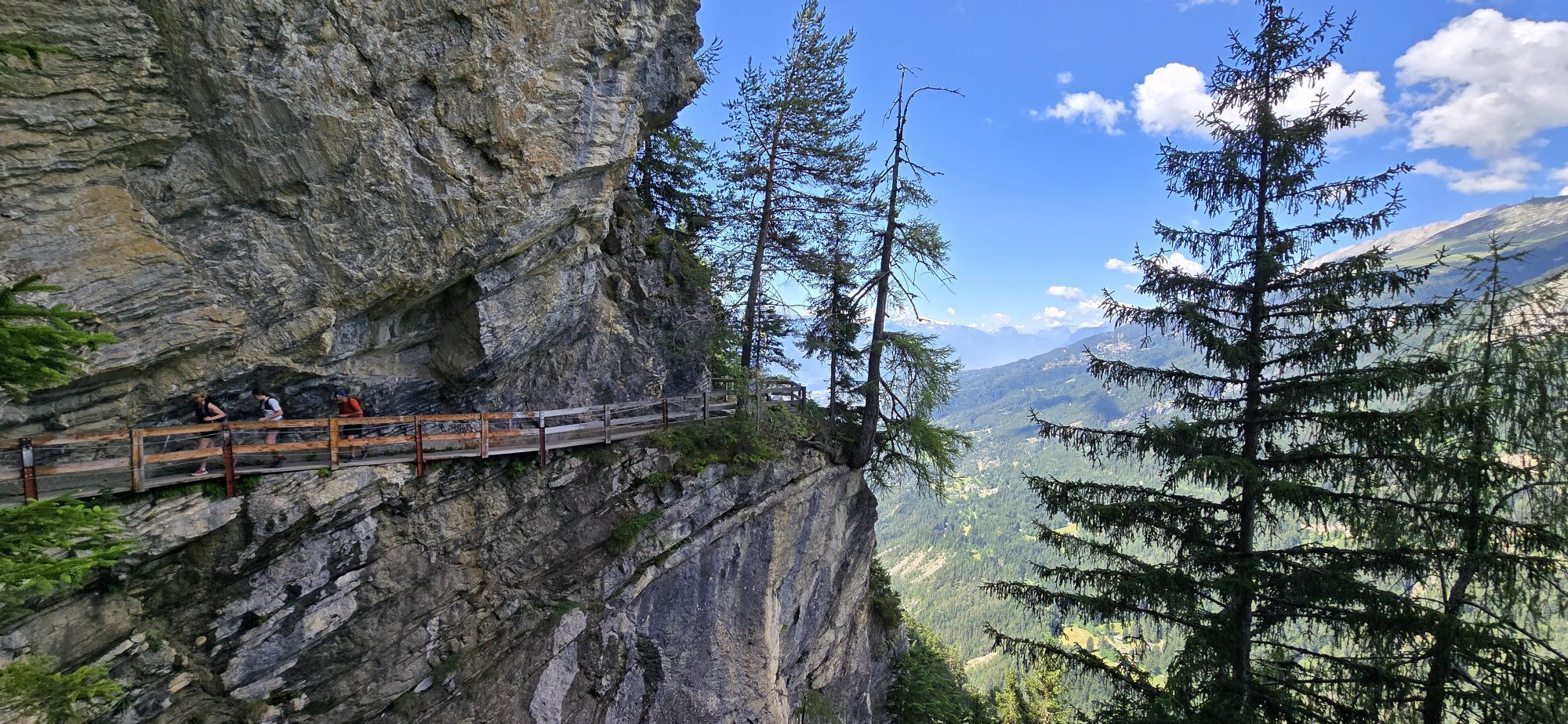
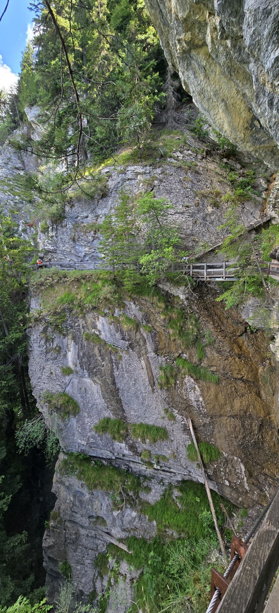
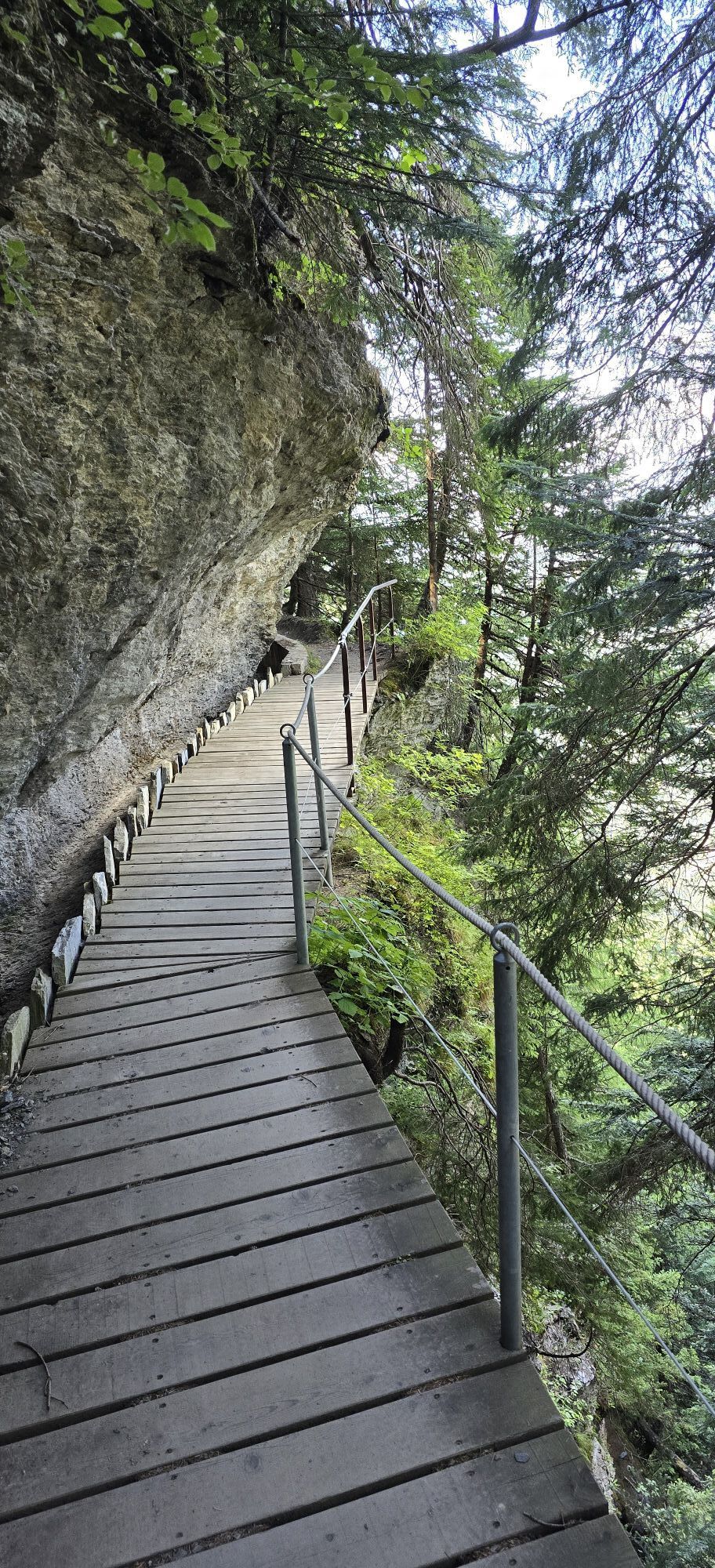
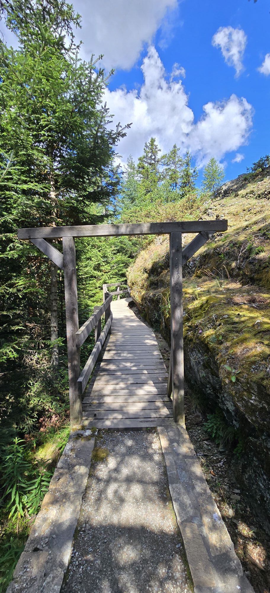
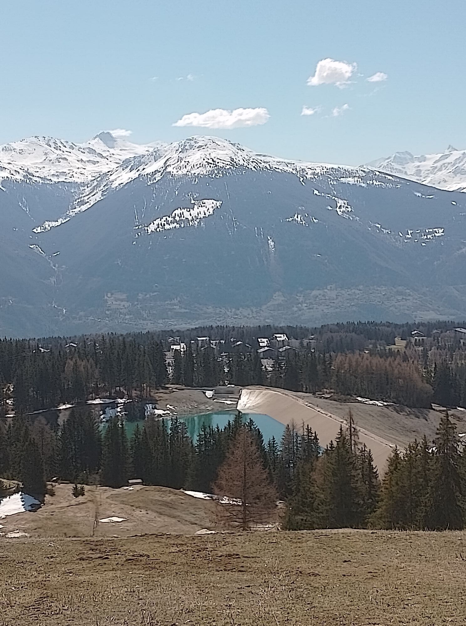
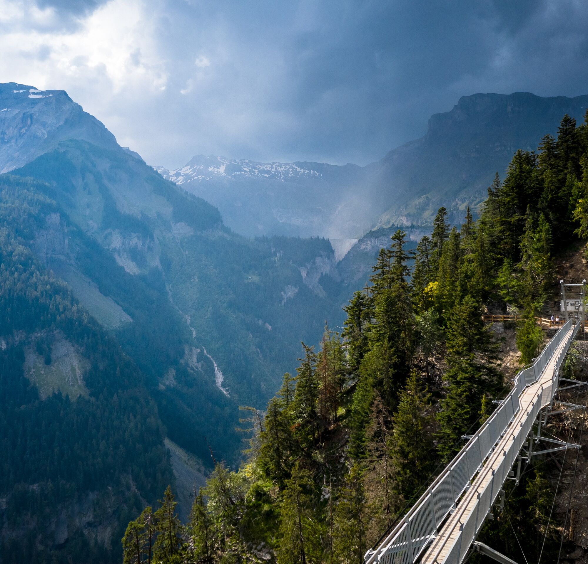
Departure from Crans, taking one of the various paths to the very beautiful Cabane des Violettes for a well-deserved night. The next day, walk towards the Plaine-Morte to cross the Pochet pass then descend to the Er de Chermignon. From there, the hiker follows the traces of the very beautiful Bisse du Ro hike which passes near the Lake Tseuzier (Rawyl Dam). This return via this mythical bisse, where hikers are practically suspended on the rock face, reveals the difficulties encountered by the ancestors who carried out these astonishing constructions with almost no technical means. These men had a strong vision of the future which was a sort of survival means. The Valais heritage is linked to the life of the bisses (80% of Valais potable water and 40% of Swiss potable water comes from sources located almost all in the mountain regions).
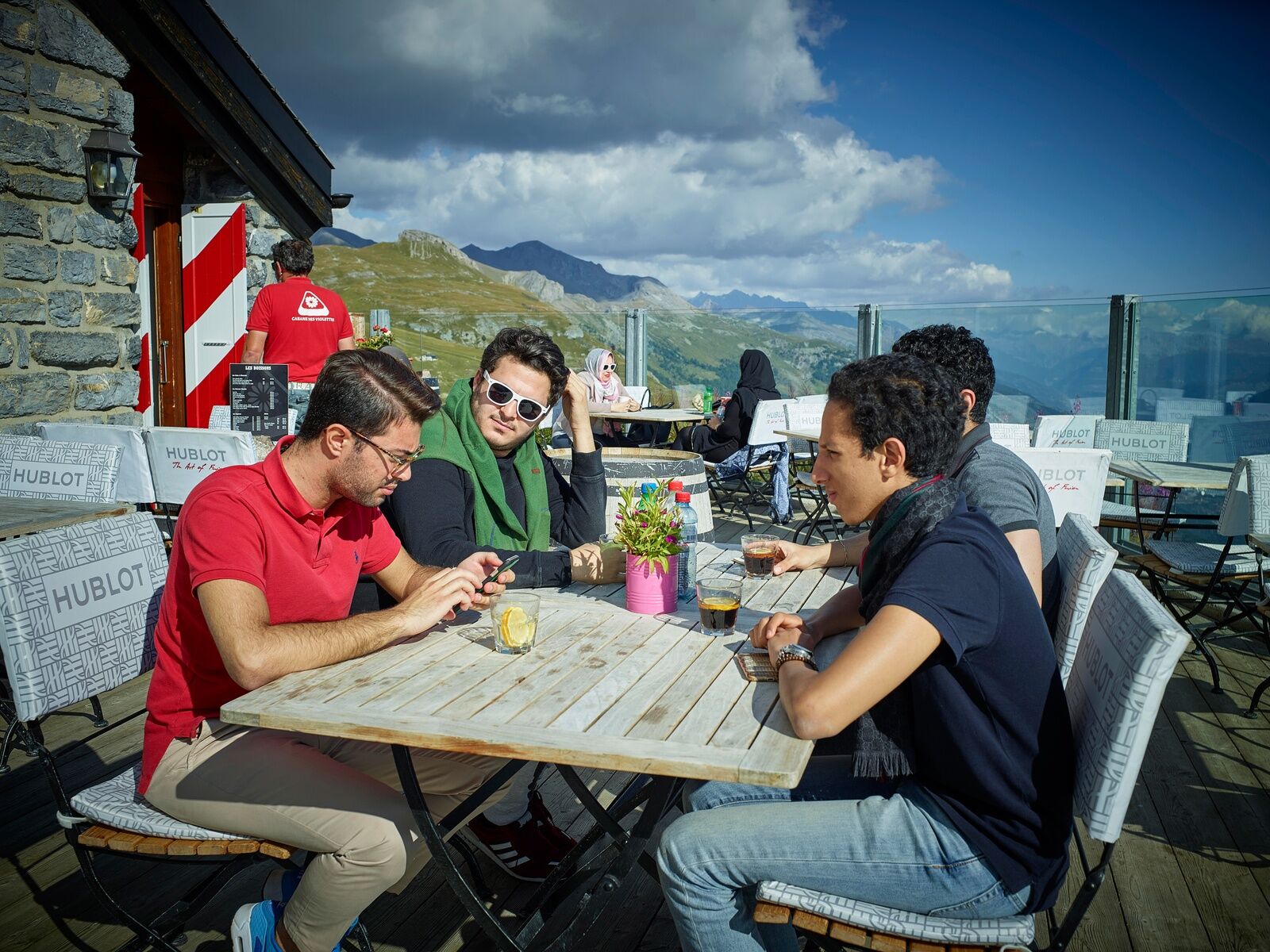
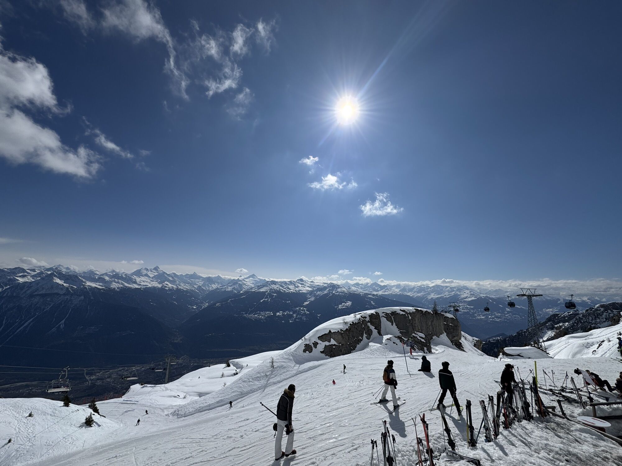
Departure from the Crans-Cry d'Er cable cars - Lake Chermignon - Corbyre - Hôtel Chetzeron - Cry d'Er - Cabane des Violettes - Old Bisse du Ro - Plans-Mayens - Return to the departure point of the Crans-Cry d'Er cable cars
Good walking shoes.
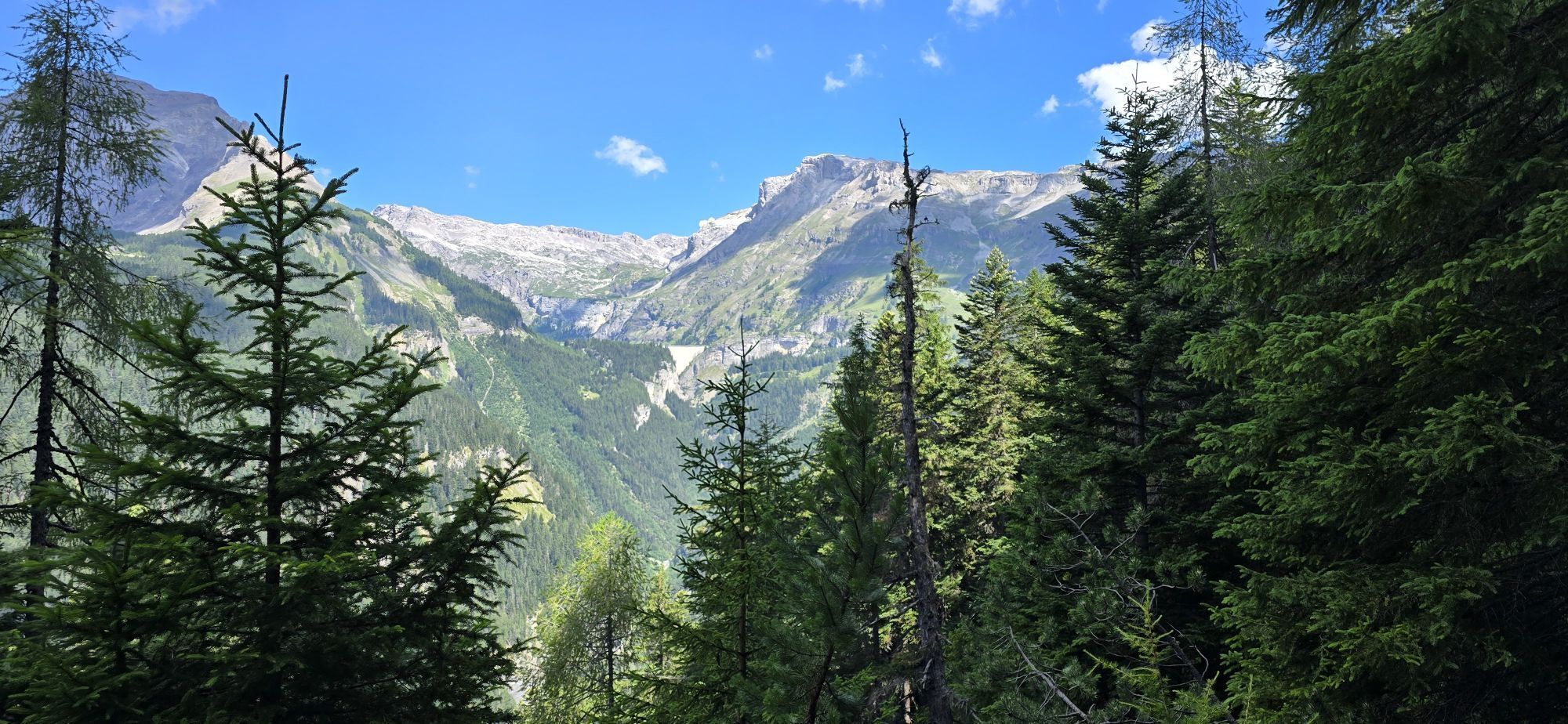
The weather changes quickly at altitude, so plan to dress accordingly.
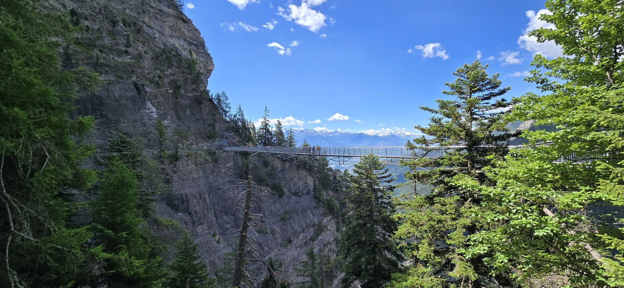
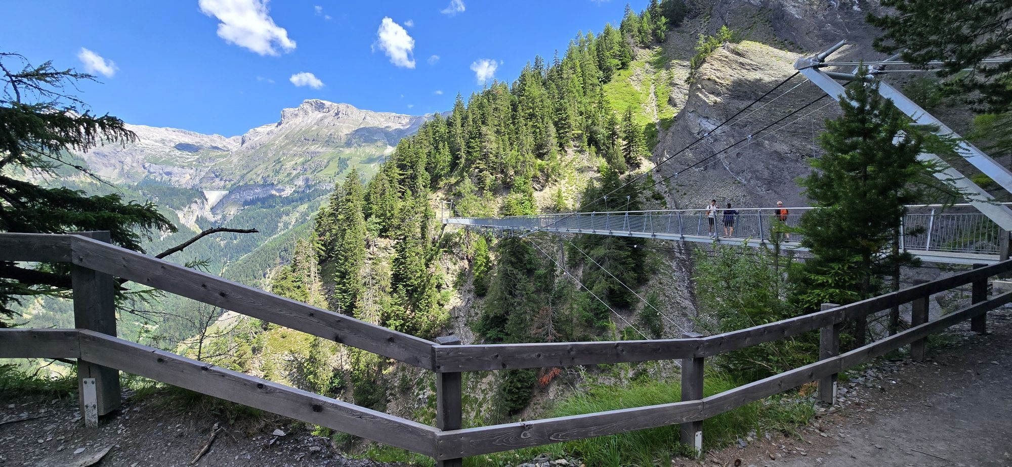
Certain passages are not recommended for people prone to vertigo.
Follow the marked trails. Please respect the fauna, the flora: nature.
Check the weather conditions before your departure.
Crans-Montana Tourism & Congress declines all responsibility in case of accident.
To reach Crans-Montana by car, take the exit from the A9 motorway (Rhône motorway) called "Sierre west." At the motorway exit, turn left and follow the signs indicating "Sierre." At the roundabout, turn right. Continue for 500 meters, then at the entrance to Sierre, turn left towards "Crans-Montana." The journey takes about 20 minutes. Once arrived in Crans-Montana, follow the signs to reach the center of Crans and then the Crans-Cry d'Er parking lot.
The Crans-Montana resort is accessible from Sierre station with the SMC bus company or the funicular as well as from Sion station with postal coaches.
The free shuttles of the SMC bus company serve the entire Crans-Montana resort.
The closest stop to the start of the hike is: Télé Cry d'Er.
Parking Crans-Cry d'Er
Address: Parking Crans-Cry d'Er, Route des Téléphériques, 3963 Crans-Montana
Paid outdoor parking: 390 spaces
Monday - Sunday: 07:00 - 20:00
For any other information: www.crans-montana.ch/rando
This steep and somewhat dizzying route, but without major dangers, is nevertheless not recommended for people prone to vertigo or without good physical condition.
Oblíbené prohlídky v okolí
- 5,0
Bisse du Ro
světloTuristika 11,2 km - 4,0
Grand Bisse de Lens
světloTuristika 8,73 km - 4,7
Leukerbad - Gemmipass - Lämmerenhütte
středníTuristika 9,49 km - 4,0
Gemmipass - Lämmerenhütte - Rote Totz Lücke - Daubensee - Gemmipass
středníTuristika 13,7 km - 4,0
Tripon - Brac – Ancien Bisse du Torrent Neuf – St. Marguerite – Torrent Neuf – Prafirmin - St. Germain
světloTuristika 12,9 km - 4,0
Wolfstritt
Turistika 7,02 km Talabfahrt (Rinderhütte-Tunnel-Folljeret-Leukerbad)
Turistika 7,78 km- 5,0
Klettersteig Daubenhorn
heavyVia ferrata 5,34 km - 5,0
Family-friendly Tsittoret bisse
světloTuristika 7,14 km - 4,0
Belvédère via ferrata
středníVia ferrata 1,81 km
Pěší turistika a stopování


Nenechte si ujít nabídky a inspiraci pro vaši příští dovolenou
Vaše e-mailová adresa byl přidán do poštovního seznamu.