







Tour de l'éboulement des Diablerets


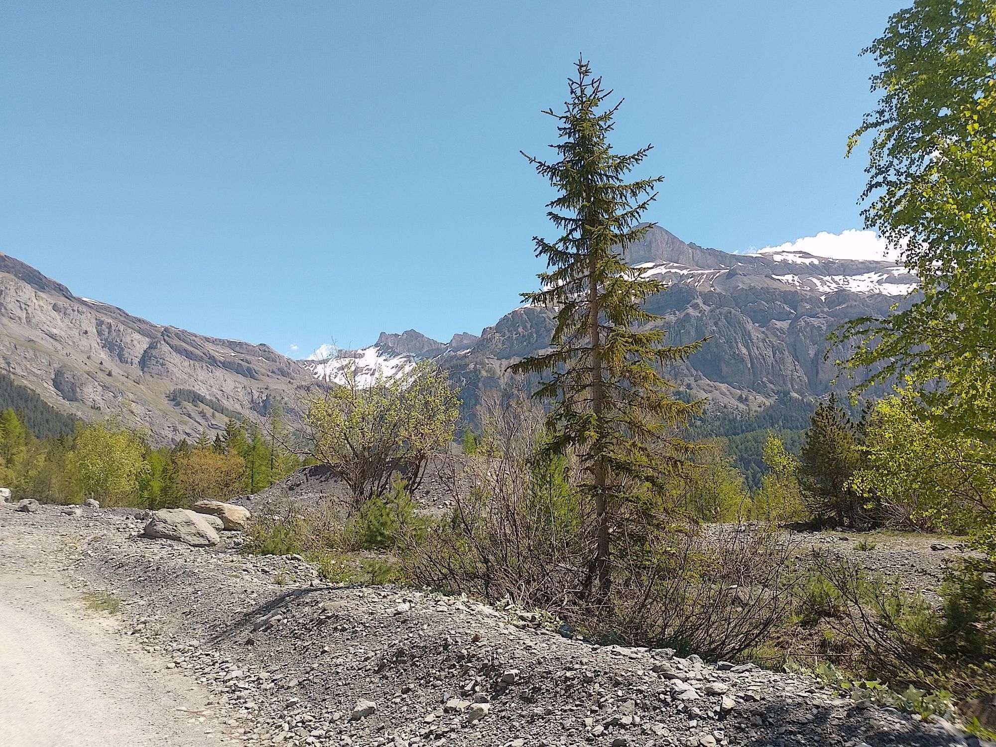
On September 23, 1714, a geological catastrophe struck the Derborence region. Part of the mountain above collapsed, wiping out the wildlife as well as the lives of shepherds present there. Locals believed...
On September 23, 1714, a geological catastrophe struck the Derborence region. Part of the mountain above collapsed, wiping out the wildlife as well as the lives of shepherds present there. Locals believed it was the work of the devil, which is why the mountain was named "Les Diablerets" (diable = devil, French).
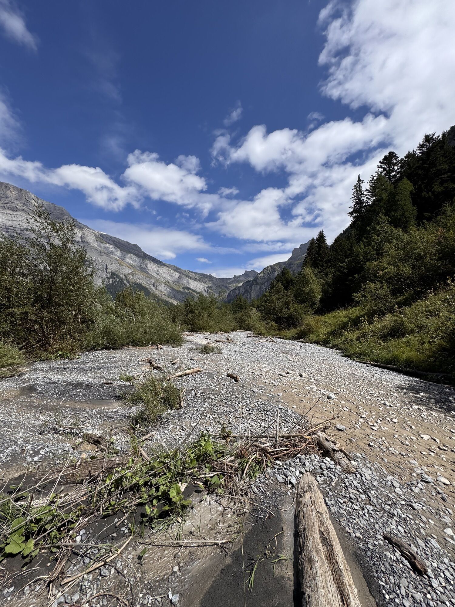
The "cursed" valley was largely abandoned, so the second, even bigger rockslide 35 years later had far fewer consequences for the population. Large boulders covered the valley floor and blocked the mountain stream. As a result, Europe's youngest natural mountain lake was formed. Scientists estimate the rockfall to be around 50 million cubic meters of rock. The resulting landscape is a paradise for biologists, geologists, photographers, and visitors of all ages.
The hike connects two routes: the one to the rockslide ("Tour de l'éboulement des Diablerets") and the circuit around the mountain lake ("Tour du Lac de Derborence"). In the original forest, 450-year-old fir trees can be admired. The chances of encountering wildlife are high – watch out for ibex, deer, chamois, marmots, and lynxes. In the air, you may spot golden eagles, black grouse, and bearded vultures.
Especially families can also complete only one of the two routes. For both, a guide with activities for children is available for download.
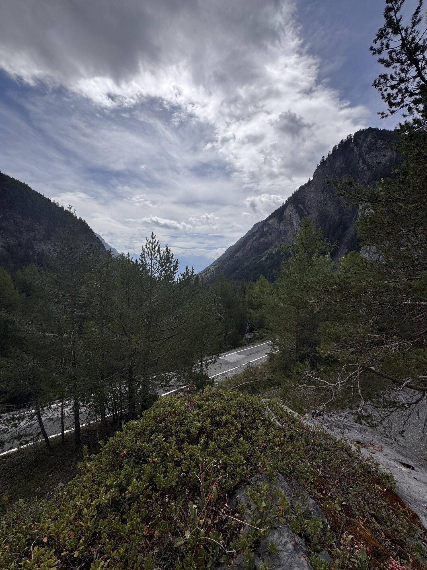
The journey to Derborence alone is already an adventure. The only access is via a narrow, winding road along the gorges of the Lizerne.
Highlights of the route:
Adventurous access via a winding road with numerous tunnels Impressive landscape created by rockslides at the Diablerets massif. Attractive themed trails for families
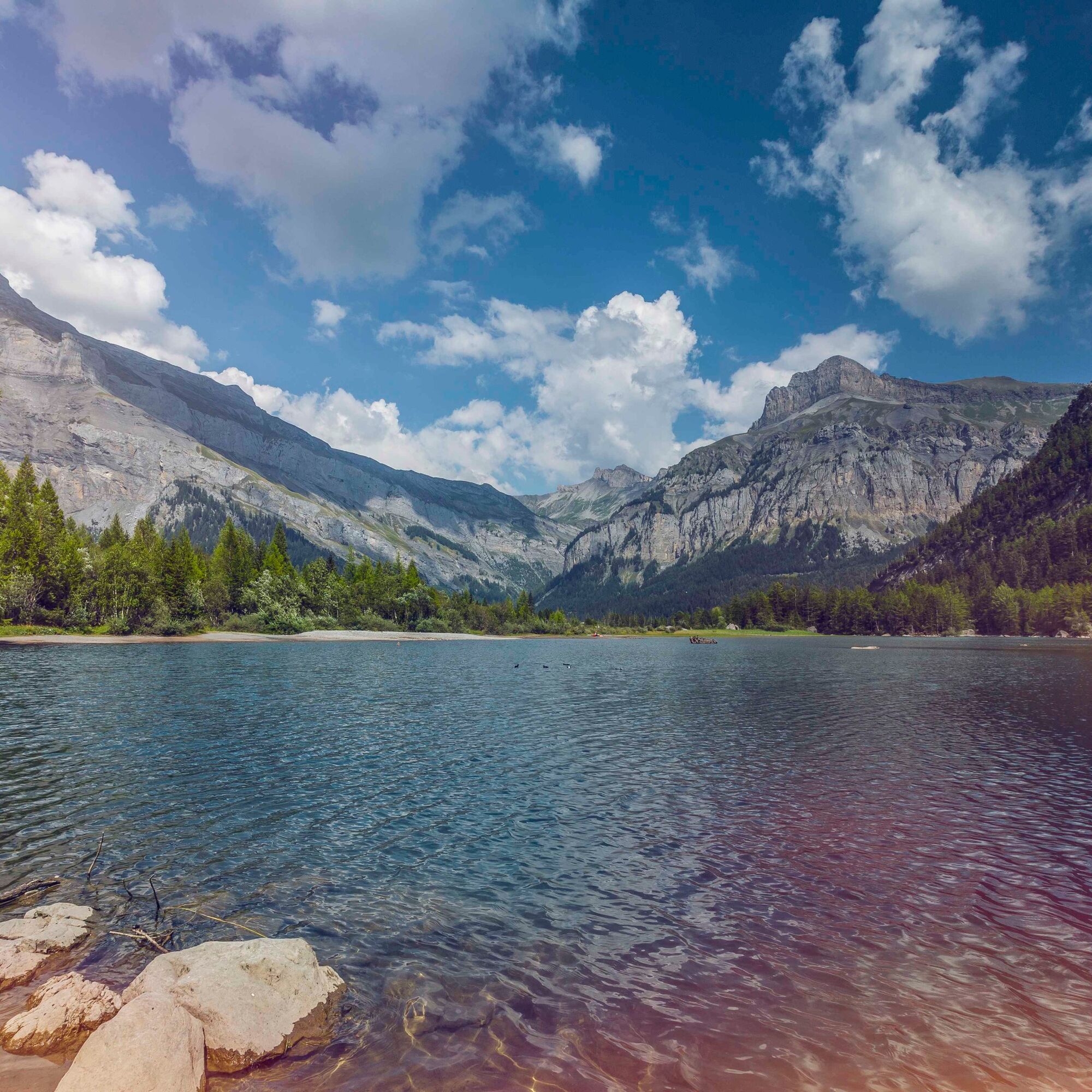
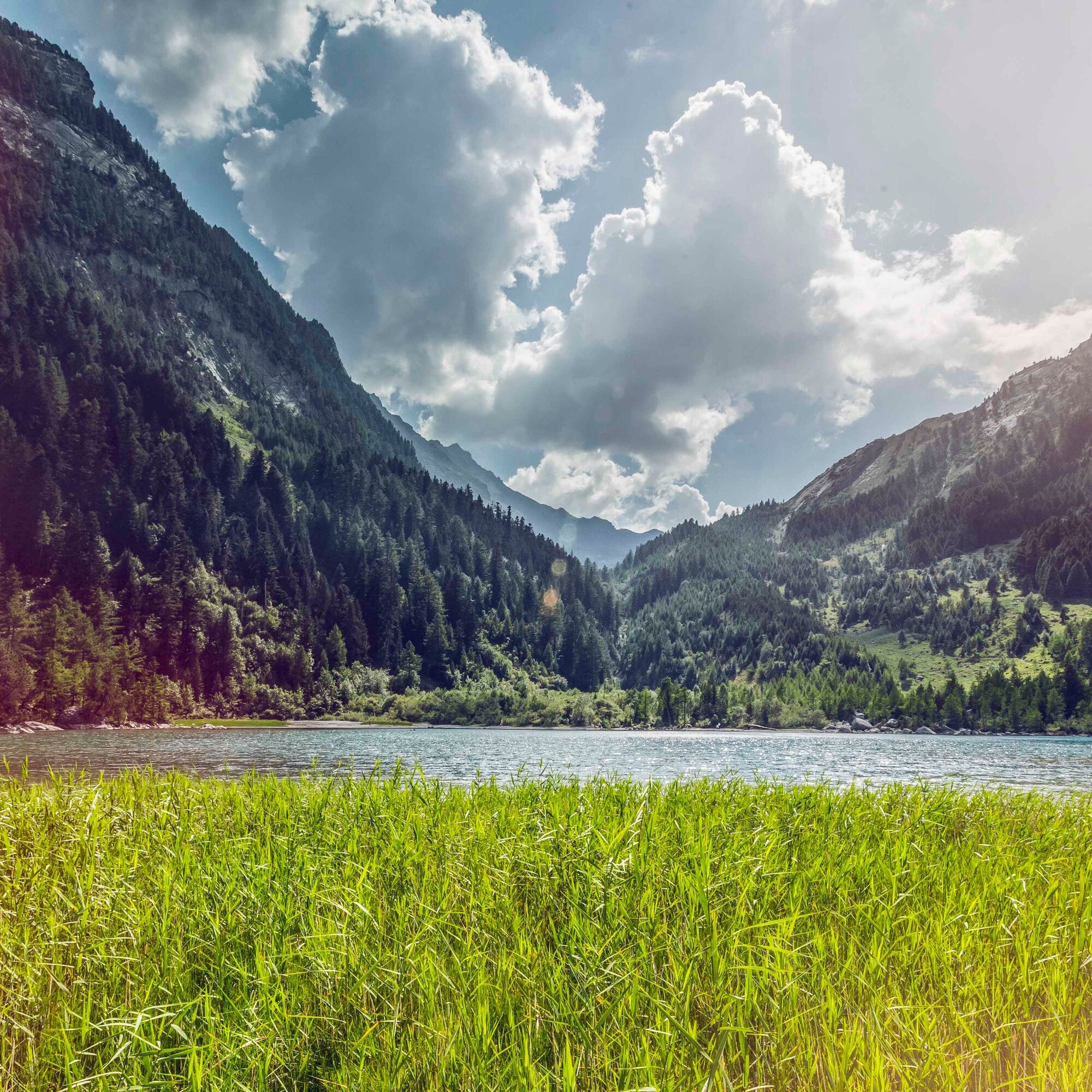
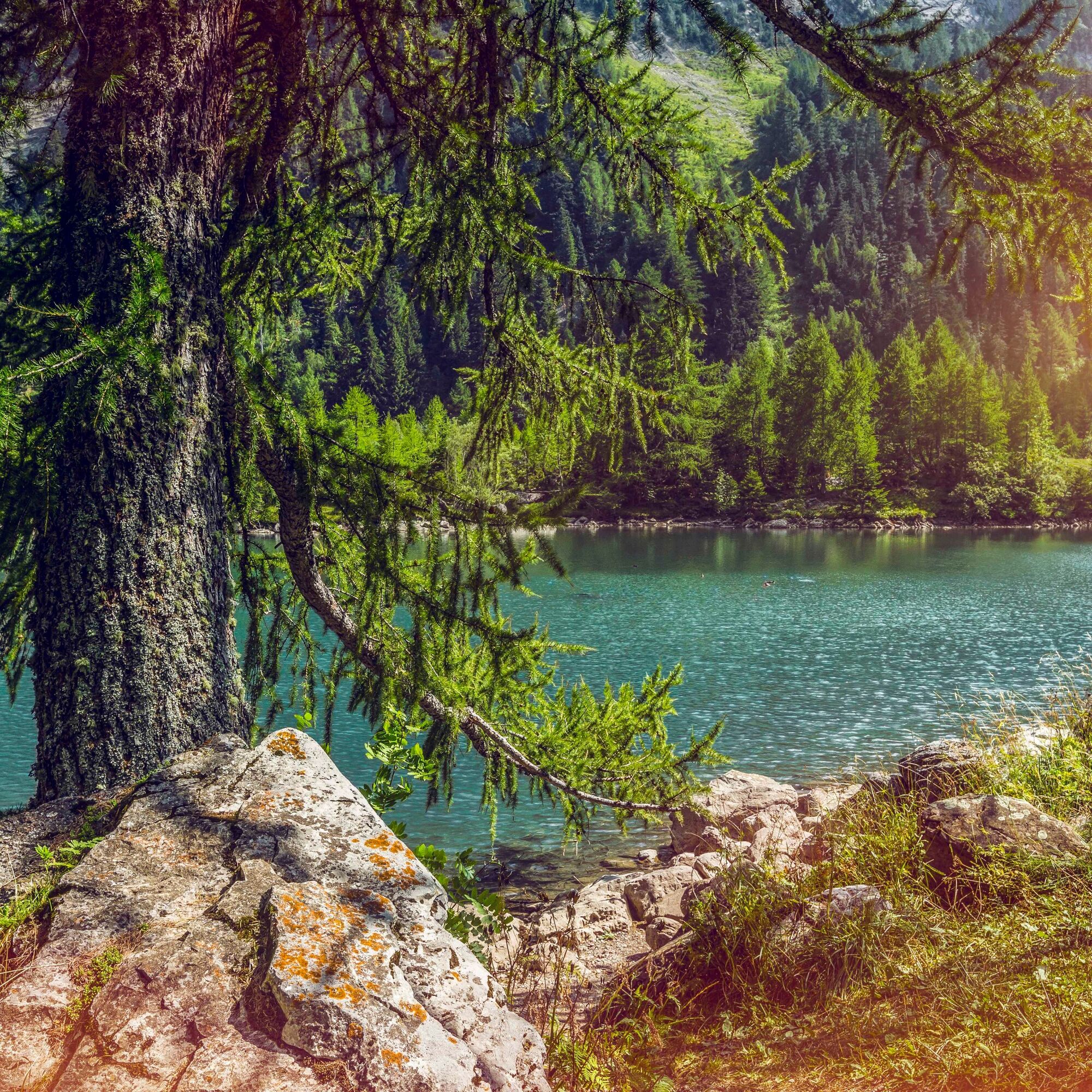
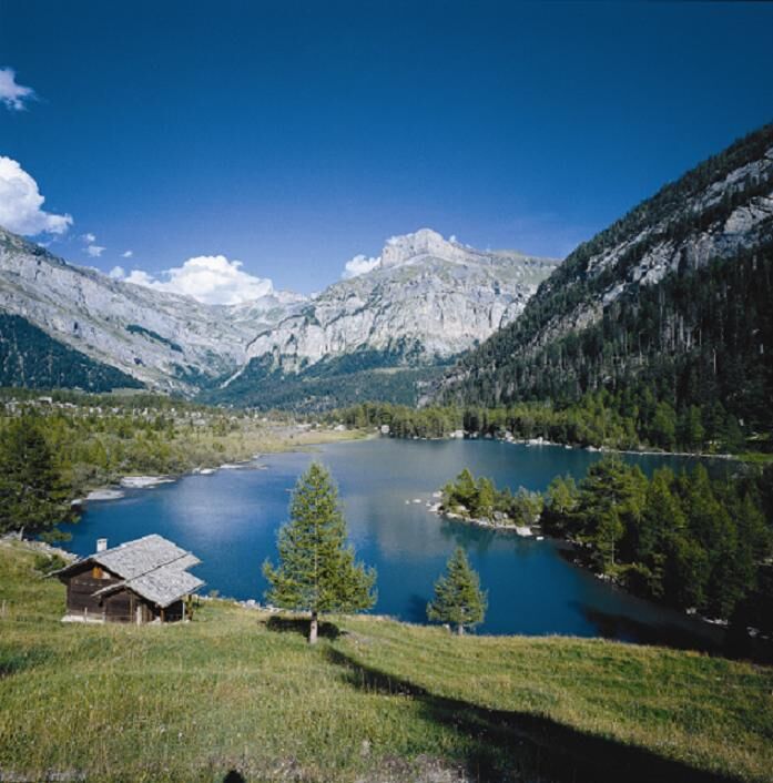
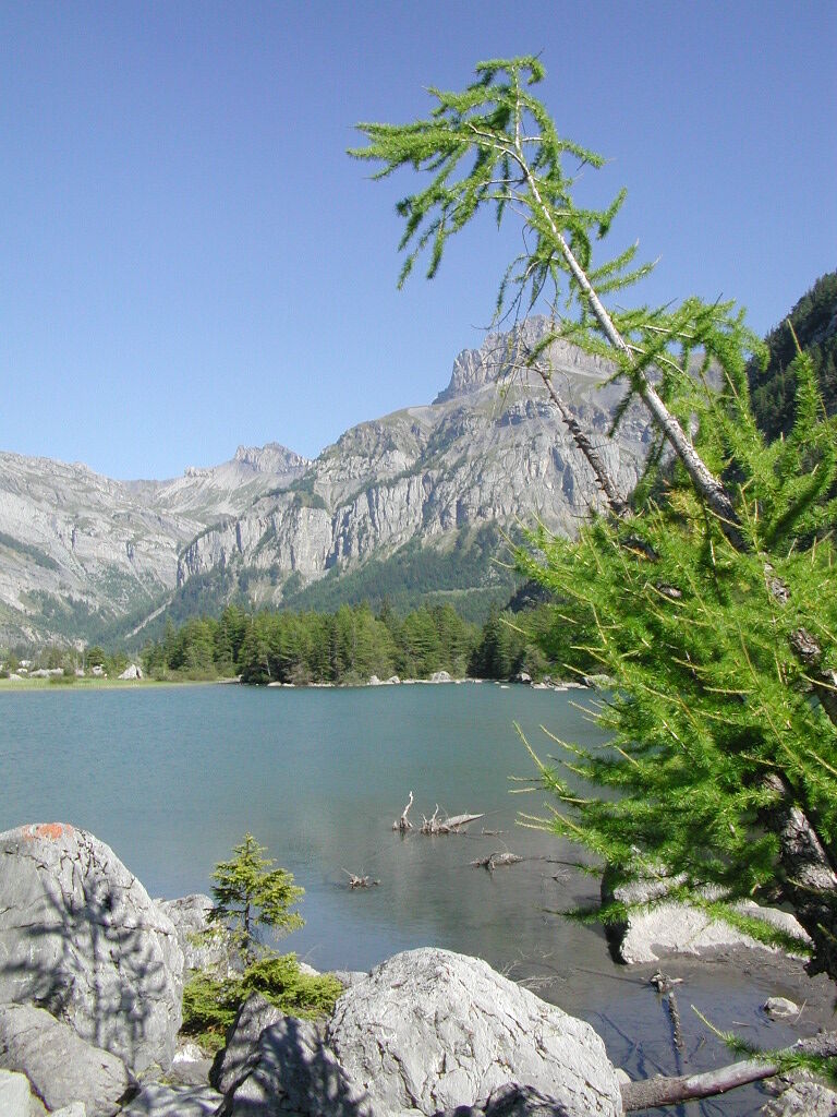

The route starts at the parking lot and bus stop near Lac de Derborence. The route begins with crossing the scree from the rockslide before crossing the slopes and leading to the highest point above the Godey Reservoir. From here, the hike descends to the old forest of Ecorcha. At the end of the hike, you walk around Lac de Derborence clockwise.
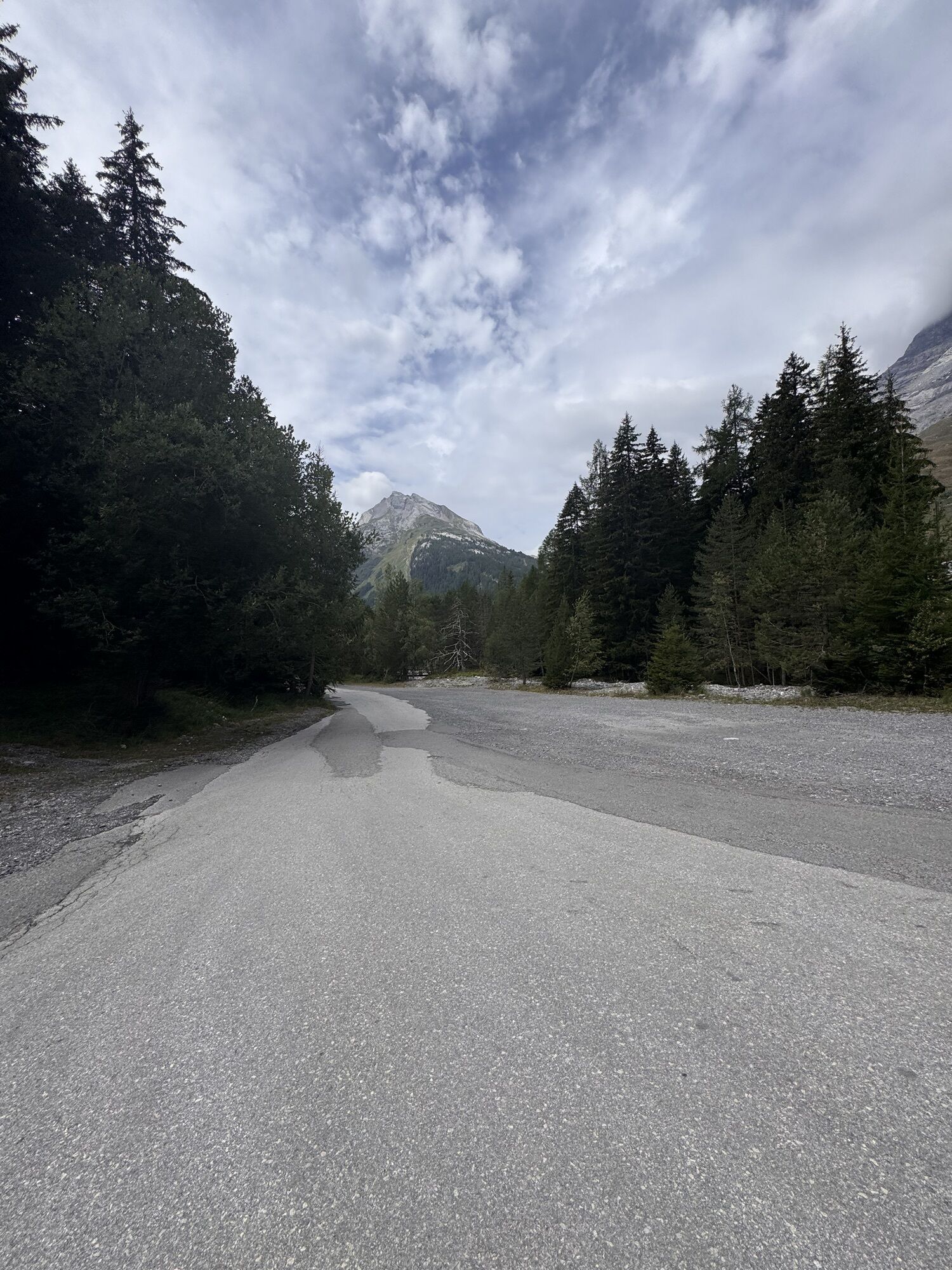
You can also start the hike at the second parking lot at the Godey Reservoir.
If you are hiking with children, plan additional time for the activities in the guides.
Ano
We recommend:
Good footwear Weather-dependent clothing: always carry a waterproof vest Headwear Sunscreen Water bottle Picnic Camera Binoculars (optional) Walking sticks (optional) Printout of the hiking trail (click "Print" to download)For certain hikes:
SwimsuitThe mountains, a place of joy to share and respect. The mountain world is a place to meet and experience unforgettable moments together – whether by bike or on foot. To allow all users to benefit, it is essential to share this space with respect for nature and agriculture. Respectful behavior enables everyone to enjoy their leisure activities under the best conditions. Inform yourself about recommendations and rules. Assess your own abilities and fitness well. Using the routes is fundamentally at your own risk.
For all hikes:
Carry a map with you. Download the full description of the hiking trail with a large-scale map by clicking "Print" at the top right of the page. Use only marked hiking trails and observe all signs and instructions - for your own safety, to protect grazing animals, and out of respect for wildlife. Close gates after passing through. Behave considerately towards other trail users, plants, and animals.For mountain hikes:
Bring additional sunscreen. UV rays at high altitudes can be very strong, even in cloudy weather. Plan your hike carefully: consider the required fitness level of all participants, weather forecasts, and seasonal dependencies. Weather conditions can change very quickly and without warning in the mountains. Appropriate clothing and sufficient provisions (food and drink) are very important. In unstable weather, it is better to turn back early.For high alpine hikes:
Inform your family about your hiking route. If possible, avoid going alone. Do not go onto glaciers without a mountain guide. Observe warning signs indicating dangers at riverbanks, along watercourses below dams and reservoirs: water levels can rise quickly and without warning.Highway A9, exit 25 (Conthey). Follow the signs to Pont-de-la-Morge, Conthey, Aven, Derborence. Note that the road to Derborence is closed from early November until the end of April.
Regular train connections to Sion, then by postbus to Derborence. The postbuses run only in summer (daily from late June to late September, then on weekends in October). The buses also stop at Le Godey. Timetables for trains and postbuses can be found on sbb.ch.
Parking near Lac de Derborence (or below Godey Reservoir).
Further information about the destination:
Les Coteaux du SoleilBring a camera and binoculars to spot the wildlife. Nature lovers will fully enjoy this place!





Oblíbené prohlídky v okolí
-
4.6
From Saillon to the Farinet suspension bridge
středníTuristika 7.86 km -
4.6
Lauenen - Höji - Bühlhaus Lauenensee
středníTuristika 9.03 km -
4.0
Tripon - Brac – Ancien Bisse du Torrent Neuf – St. Marguerite – Torrent Neuf – Prafirmin - St. Germain
světloTuristika 12.9 km -
4.5
The Larches of Balavaux
světloTuristika 11.0 km -
5.0
Grand bisse d’Ayent
středníTuristika 11.7 km -
4.8
La Palette
světloTuristika 9.91 km -
5.0
De Bretaye au Lac des Chavonnes via Vy Boveyre et Conche
světloTuristika 5.37 km -
5.0
Tour de La Seya hike
středníTuristika 8.09 km -
4.6
Les Diablerets- Villars - Gryon
středníLyžování 51.8 km -
Via Farinetta
heavyVia ferrata 6.41 km

Pěší turistika a stopování


Nenechte si ujít nabídky a inspiraci pro vaši příští dovolenou
Vaše e-mailová adresa byl přidán do poštovního seznamu.





