







BLS SÜDRAMPE LALDEN - NATERS
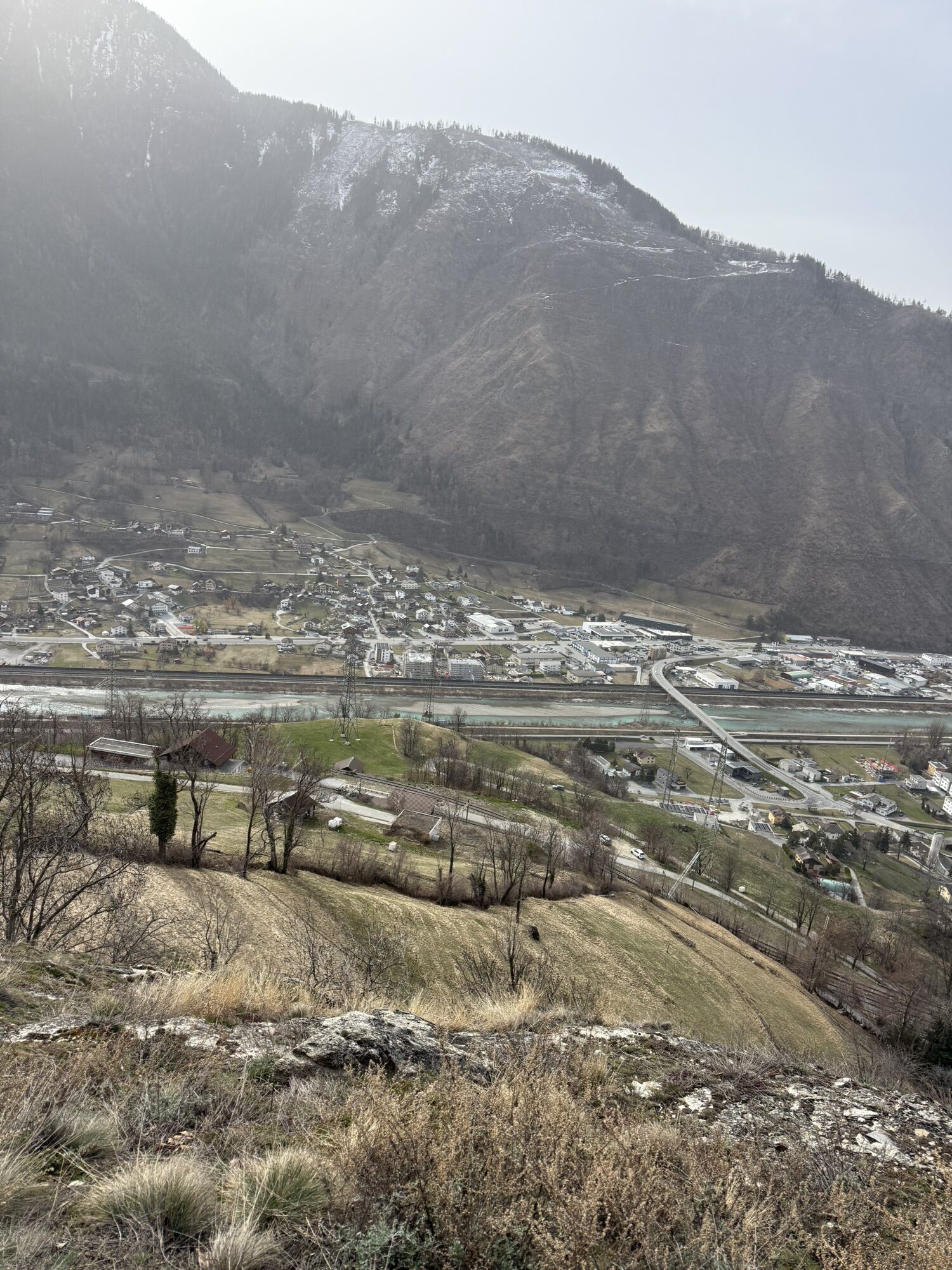
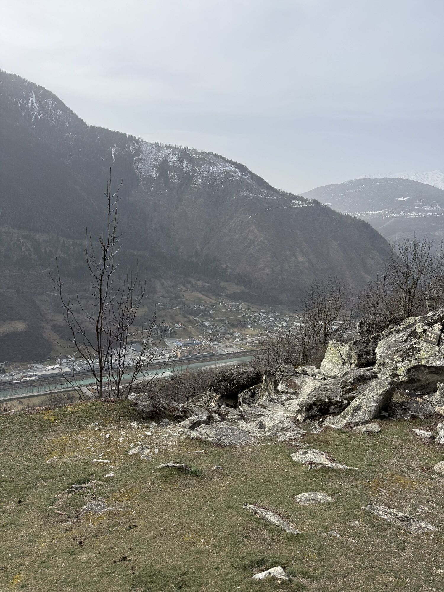
The path section leads, among other things, over traditionally built natural stone stairs and along the Driestneri Suone.
There are also information panels along the way, which explain the hundred-year...
The path section leads, among other things, over traditionally built natural stone stairs and along the Driestneri Suone.
There are also information panels along the way, which explain the hundred-year history of the Lötschberg railway line.
Shortly before you reach Naters, the path passes an old underground fortress. Today it houses three museums: one about the military history of the fortress, one about the Swiss Guard in the Vatican, and a museum about the craft of hunting for crystals in the mountains.
Of course, there is also the option to complete the entire "Lötschberger Südrampe" hike from Hohtenn to Naters.
More information: https://www.bls.ch/de/freizeit-und-ferien/ausfluege/loetschberg-suedrampe.

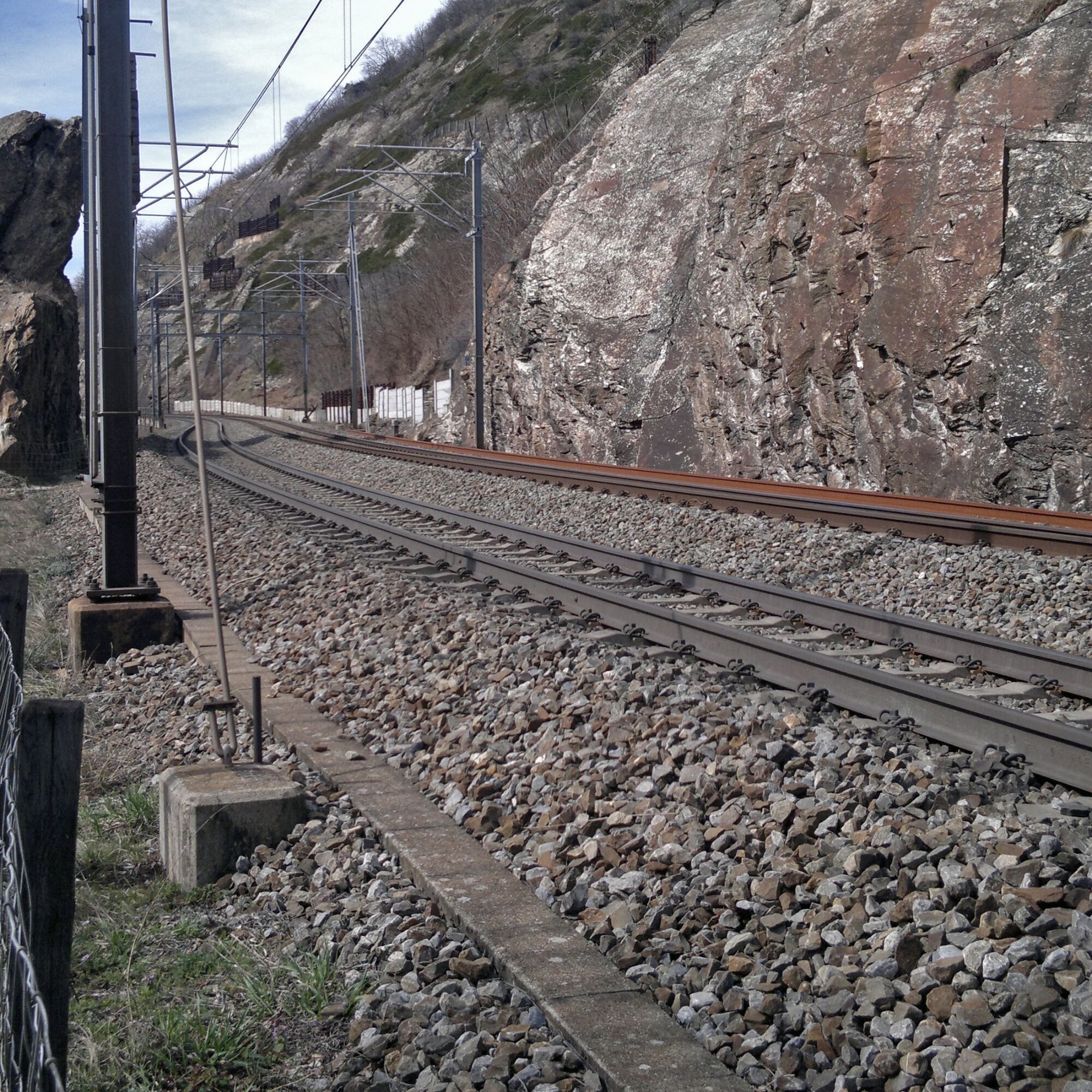
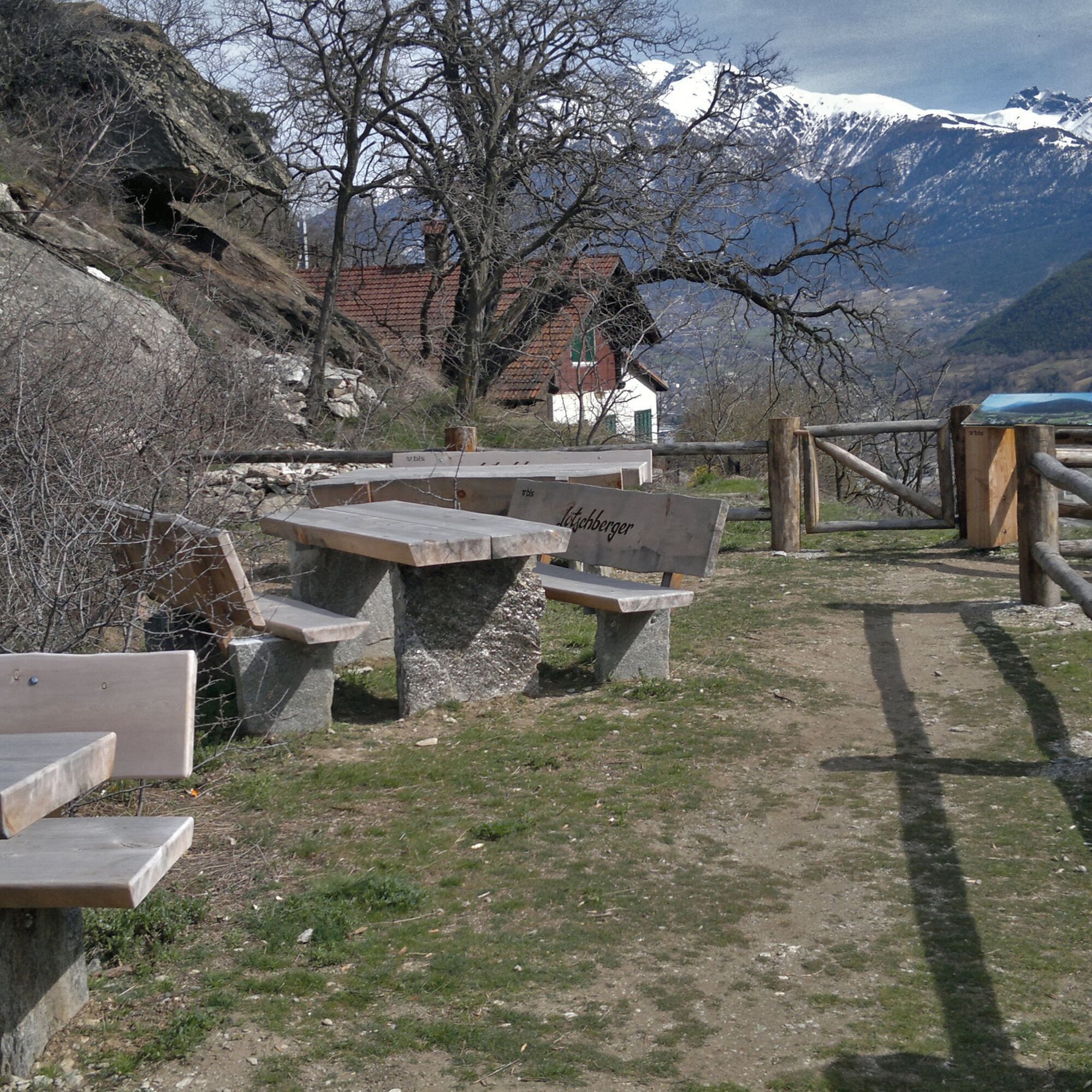


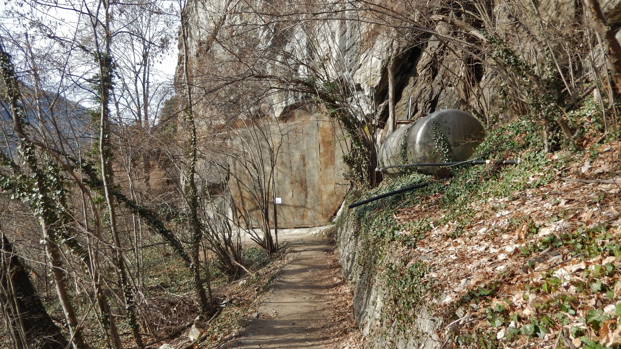


The hike starts at the Lalden train station (above the village) and is well signposted. The route runs close along the railway line and at the height of the Brigerbad thermal baths, you cross the railway line and continue the hike above the railway track. After crossing the Mundbach bridge, the path follows the course of the Drieschta Suone to Naters.
Lalden train station - Brigerbad - Guard & fortress museum - Naters
Ano
Ano
Sturdy footwear, weather-appropriate clothing, sun and rain protection, and sufficient supplies of food and drinks are recommended, as there may be no places to stop or shop open. Although the path is consistently very well marked, for safety reasons you should always carry a suitable hiking map. Bring sticks or other aids.
Despite the "unmissable" marking of the hiking trails, for safety reasons we recommend always carrying an appropriate hiking map, so that, for example, in case of a thunderstorm or emergency, you can quickly find a safe area.
Especially in autumn, pay attention that fallen leaves on the ground can cover unevenness, roots, stones or holes on the path. After storms, trees may still fall or branches fall afterwards. Especially in bad weather conditions, natural paths may have muddy and slippery sections. You must expect such path impairments if you go hiking.
Not all rocks or cliffs are secured with ropes or railings. Surefootedness is partly required. If you think certain sections are not passable for you, you should bypass them.
Arrival by car
From Western Switzerland: A9 Lausanne - Vevey, or Northwestern Switzerland: A12 Bern - Vevey: A9 - Sierre: Main road Sierre - Brig
From Northwestern Switzerland: A6 Bern - Thun - Spiez: Main road Spiez - Kandersteg (Lötschberg tunnel car shuttle) - Goppenstein - Gampel - Brig
From Eastern and Central Switzerland: Andermatt - Realp (year-round Furka car shuttle; in summer via Furka pass) - Oberwald - Brig
From Ticino (in summer): Airolo - Nufenen pass - Ulrichen – Brig
Or via Centovalli – Domodossola – Simplon pass – Brig
From Italy (Aosta, Mt. Blanc Tunnel): Aosta - Grand St. Bernard tunnel (in summer over the pass) - Martigny: motorway A9 - Sierre: Main road Sierre – Brig
Or via Domodossola – Simplon pass – Brig
Take the post bus from Brig to Lalden village and start your route there.
You can park your car in Lalden, Naters, or Brig in paid parking lots.
If you have questions, contact:
Belalp Bahnen AG
Blatten - Belalp Tourismus AG
- Visit the guard museum or take a village tour in Naters
- Enjoy the view over Naters and the entire Rhone valley
Získejte přehled
Vždy živě na místě s více než 9 500 webkamerami. bergfex Jako uživatel Pro si nyní můžete zobrazit odpovídající webové kamery pro mnoho prohlídek v aplikaci prohlídky z. Můžete si tak přímo prohlédnout aktuální podmínky.
Oblíbené prohlídky v okolí
-
5.0
Moosalp Panoramaweg
světloTuristika 6.36 km -
5.0
BELALP - SPARRHORN
heavyTuristika 11.2 km -
4.8
SUSPENSION BRIDGE RIEDERALP - BELALP
středníTuristika 11.5 km -
CIRCULAR HIKE MASSEGGA SUSPENSION BRIDGE
světloTuristika 6.44 km -
4.0
Höhenwanderung Rosswald
světloTuristika 6 km -
5.0
Panoramaweg Visperterminen
světloTuristika 9.72 km -
SUONEN CIRCULAR HIKE GREDETSCHTAL
středníTuristika 7.45 km -
5.0
VIA FERRATA "ALETSCH"
středníVia ferrata 3.40 km -
5.0
CIRCULAR HIKE BLATTEN - GIBIDUM RESERVOIR - RISCHINER FOREST
světloTuristika 4.81 km -
4.0
NATICHERBERG CIRCULAR TRAIL
středníTuristika 12.1 km
Pěší turistika a stopování


Nenechte si ujít nabídky a inspiraci pro vaši příští dovolenou
Vaše e-mailová adresa byl přidán do poštovního seznamu.





