






Ferden - Restipass - Rinderhütte (Leukerbad)
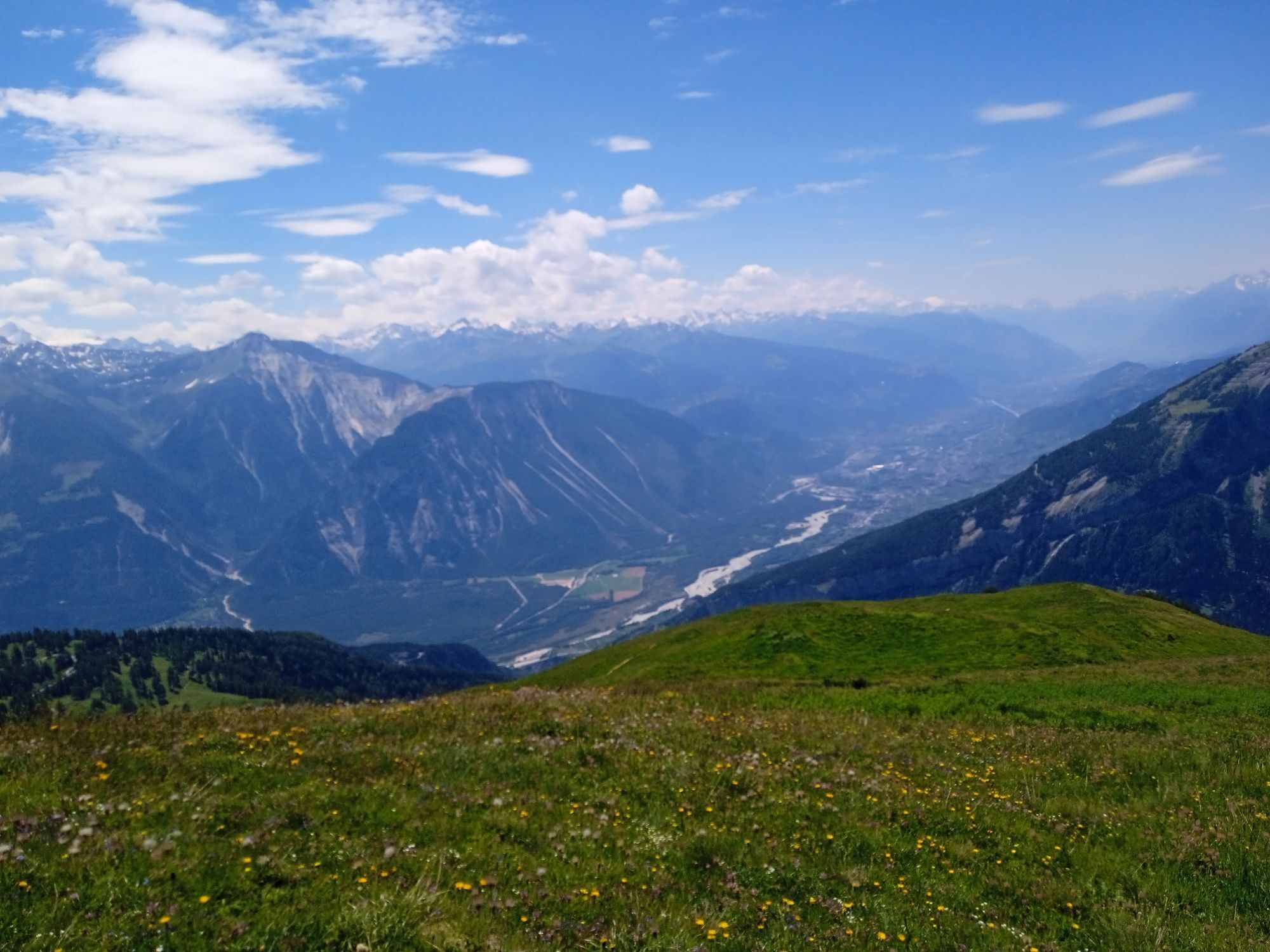
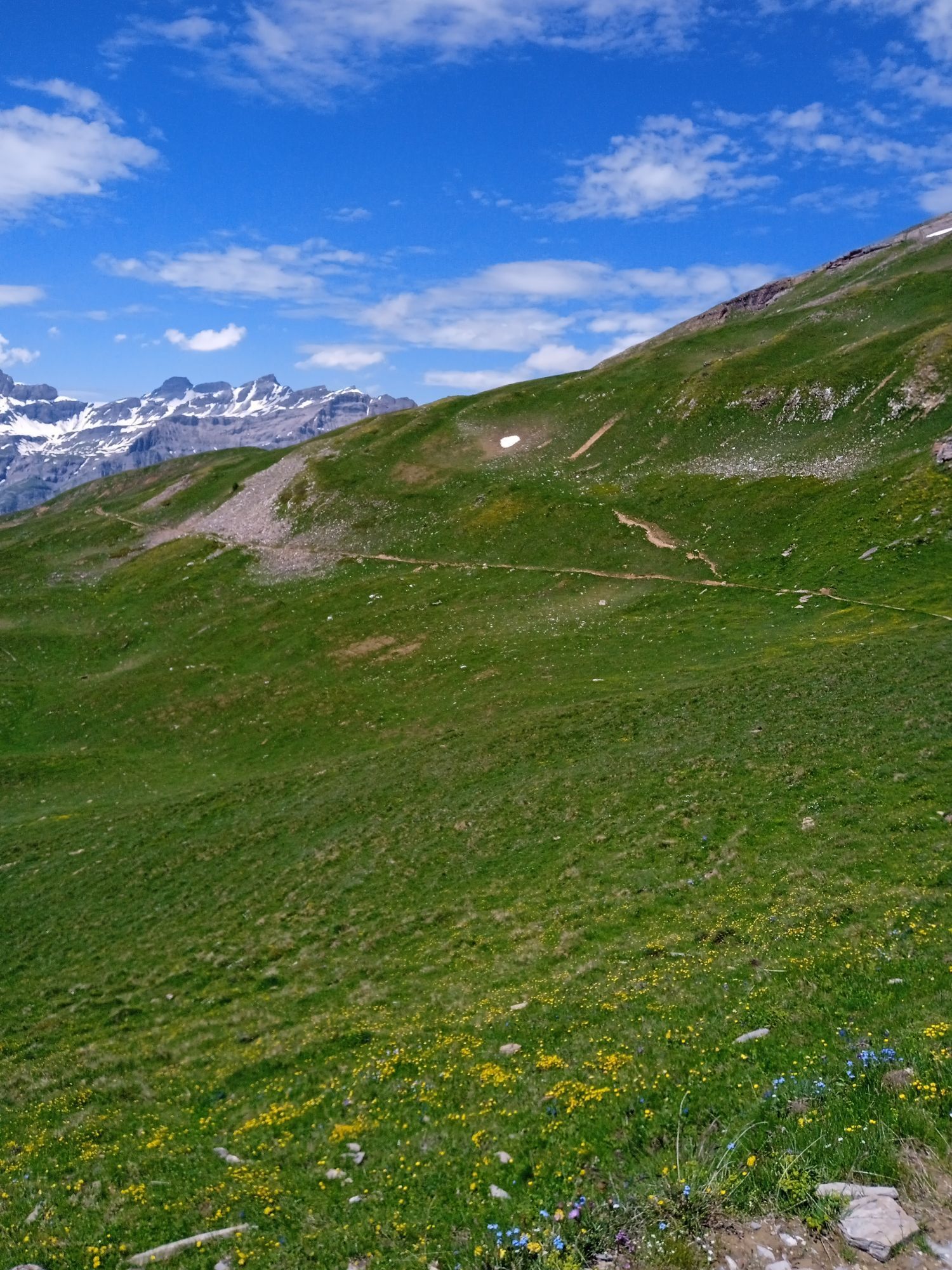
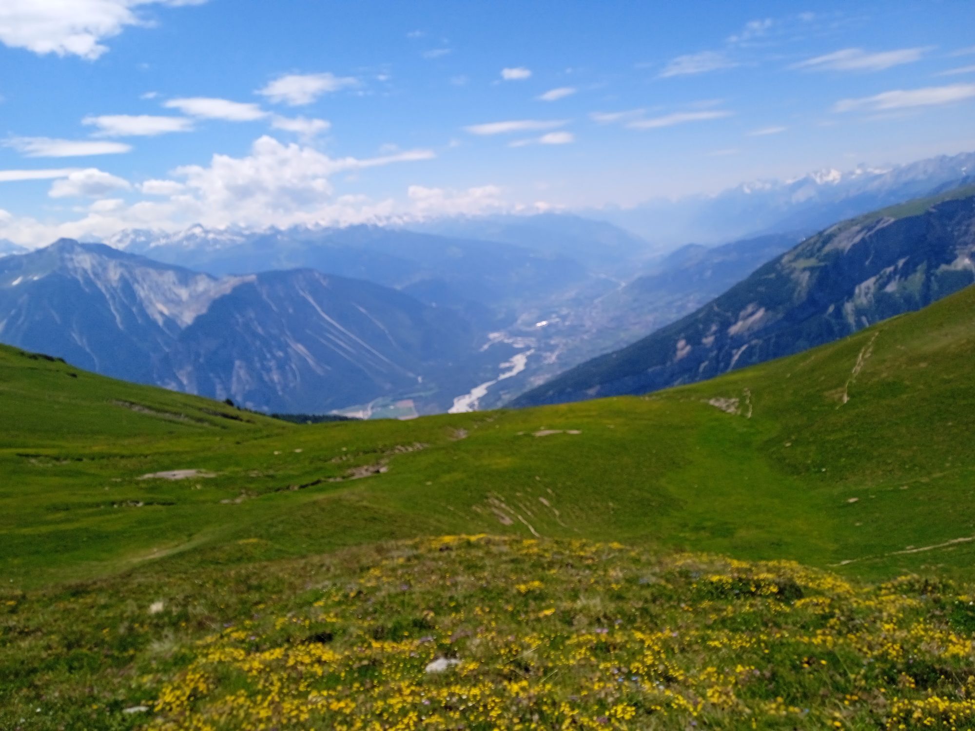
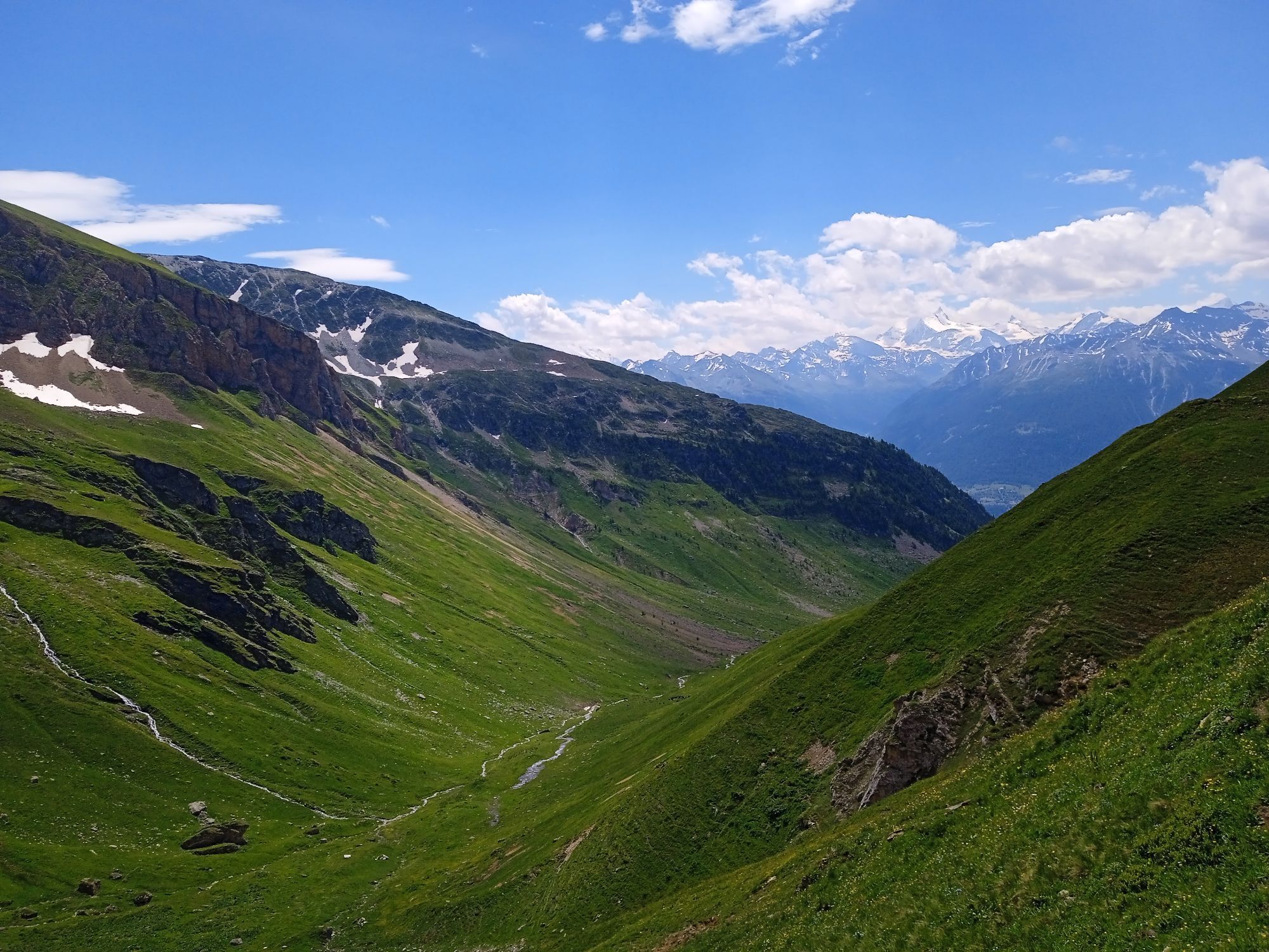
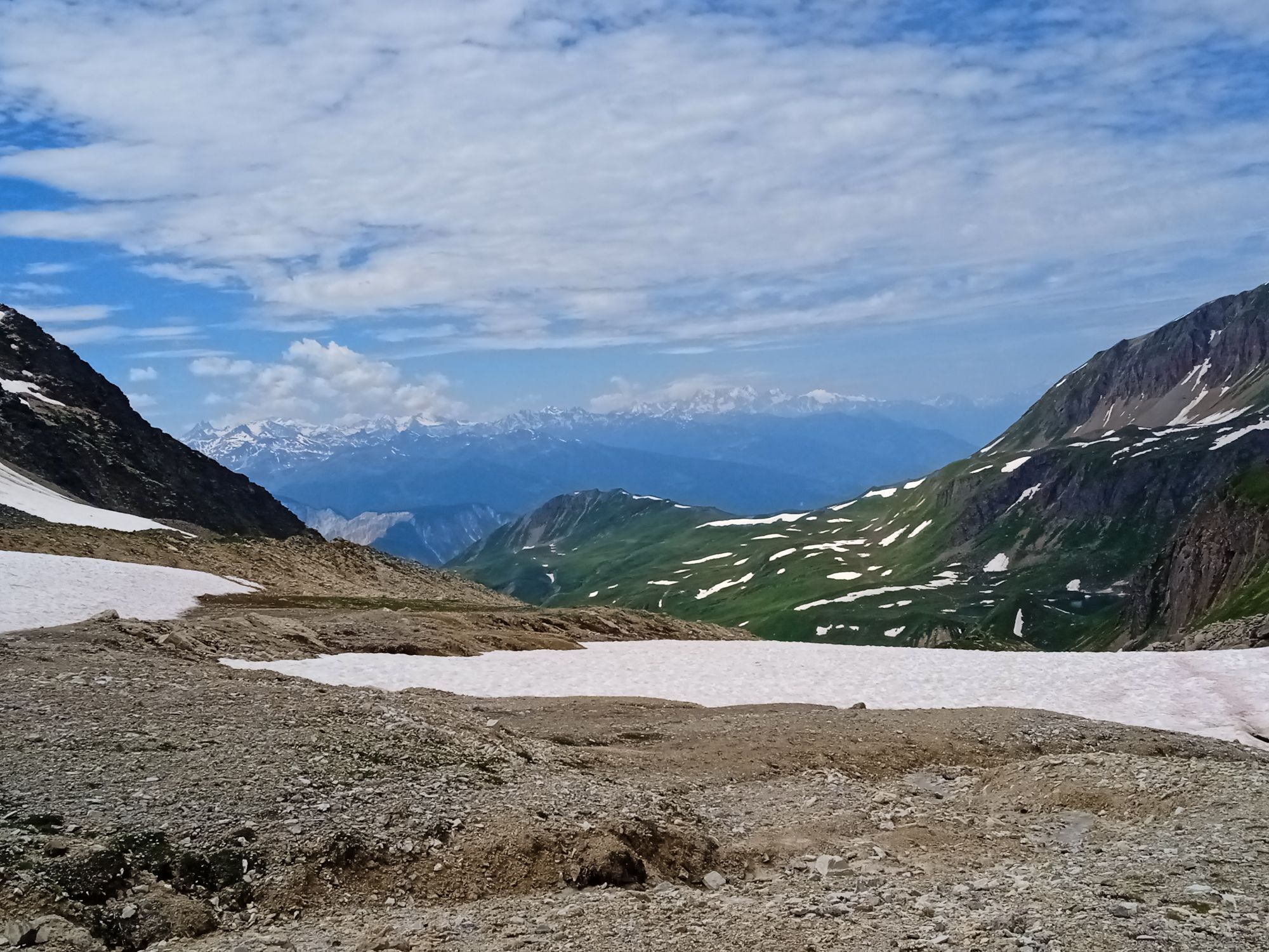
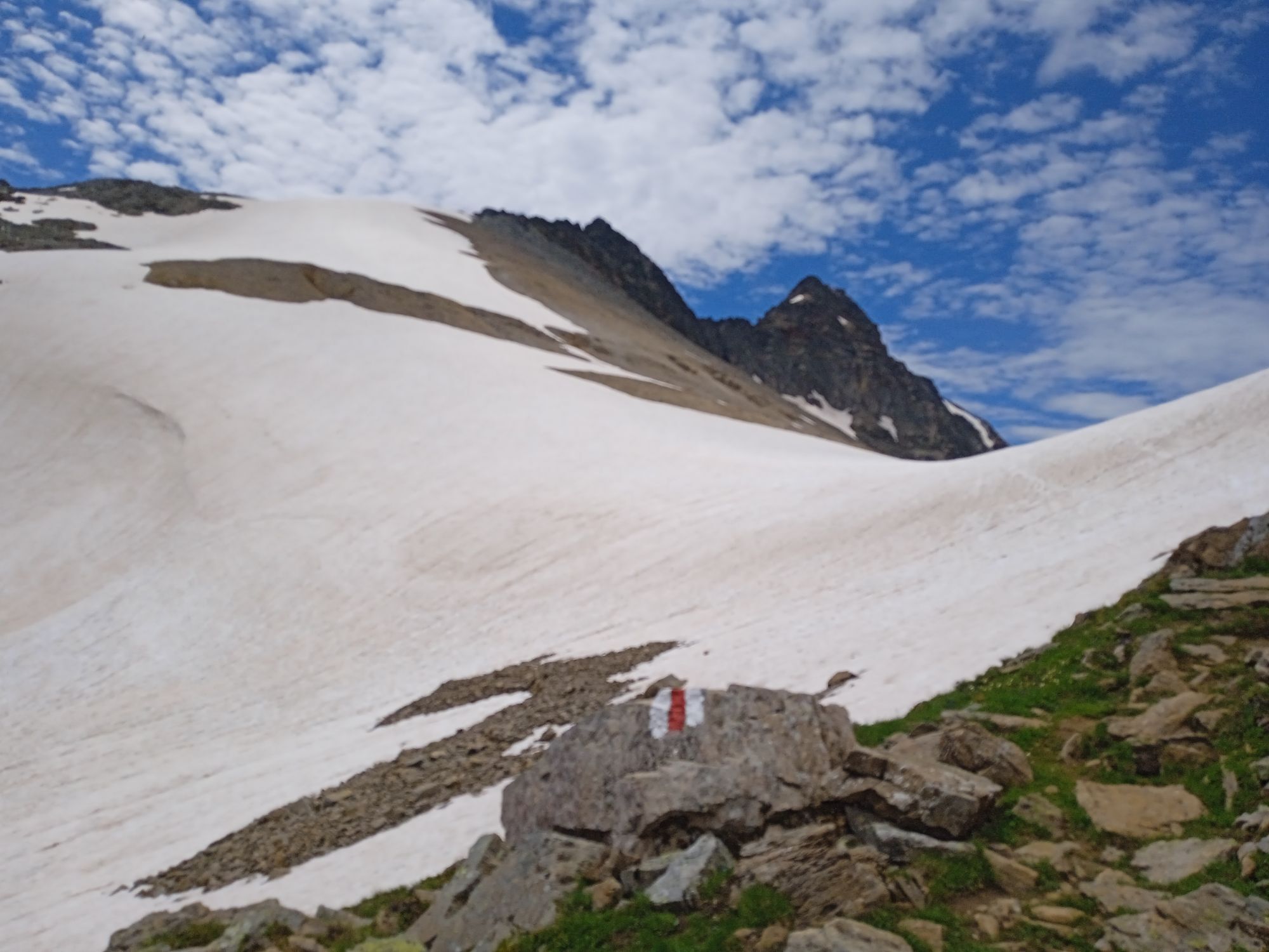
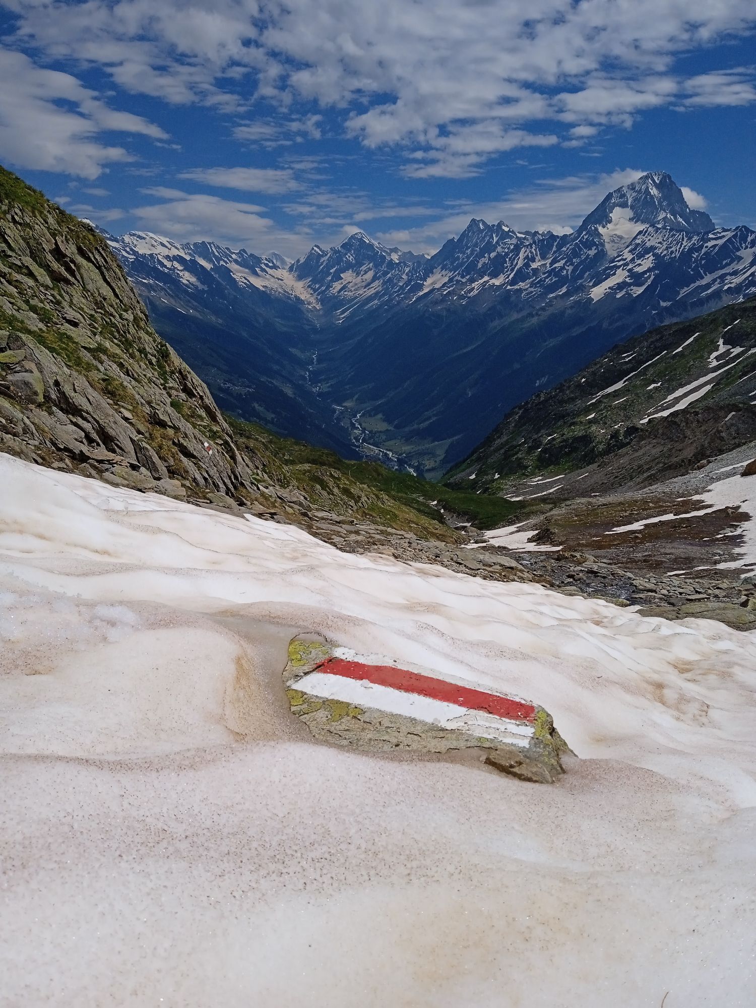
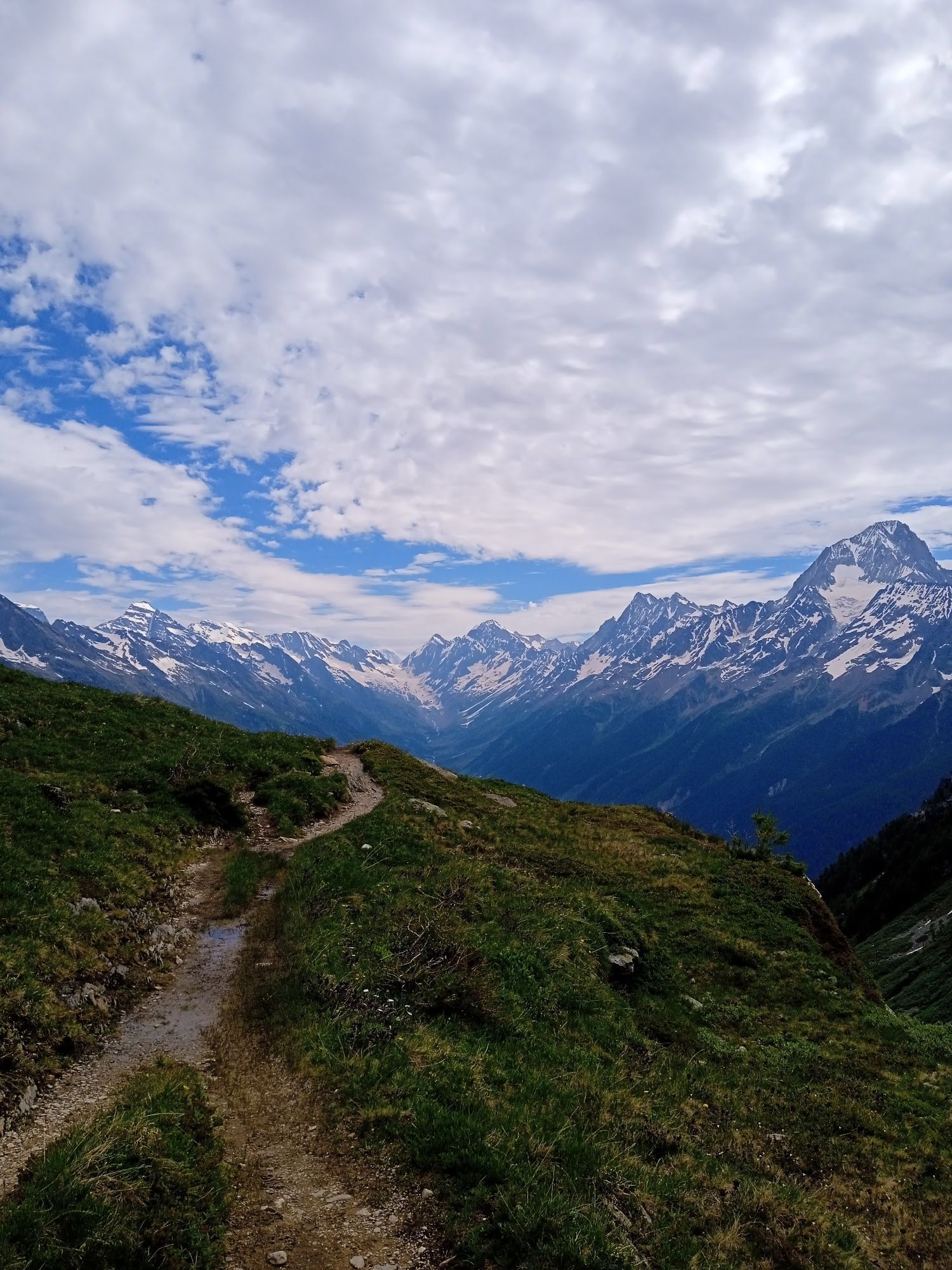
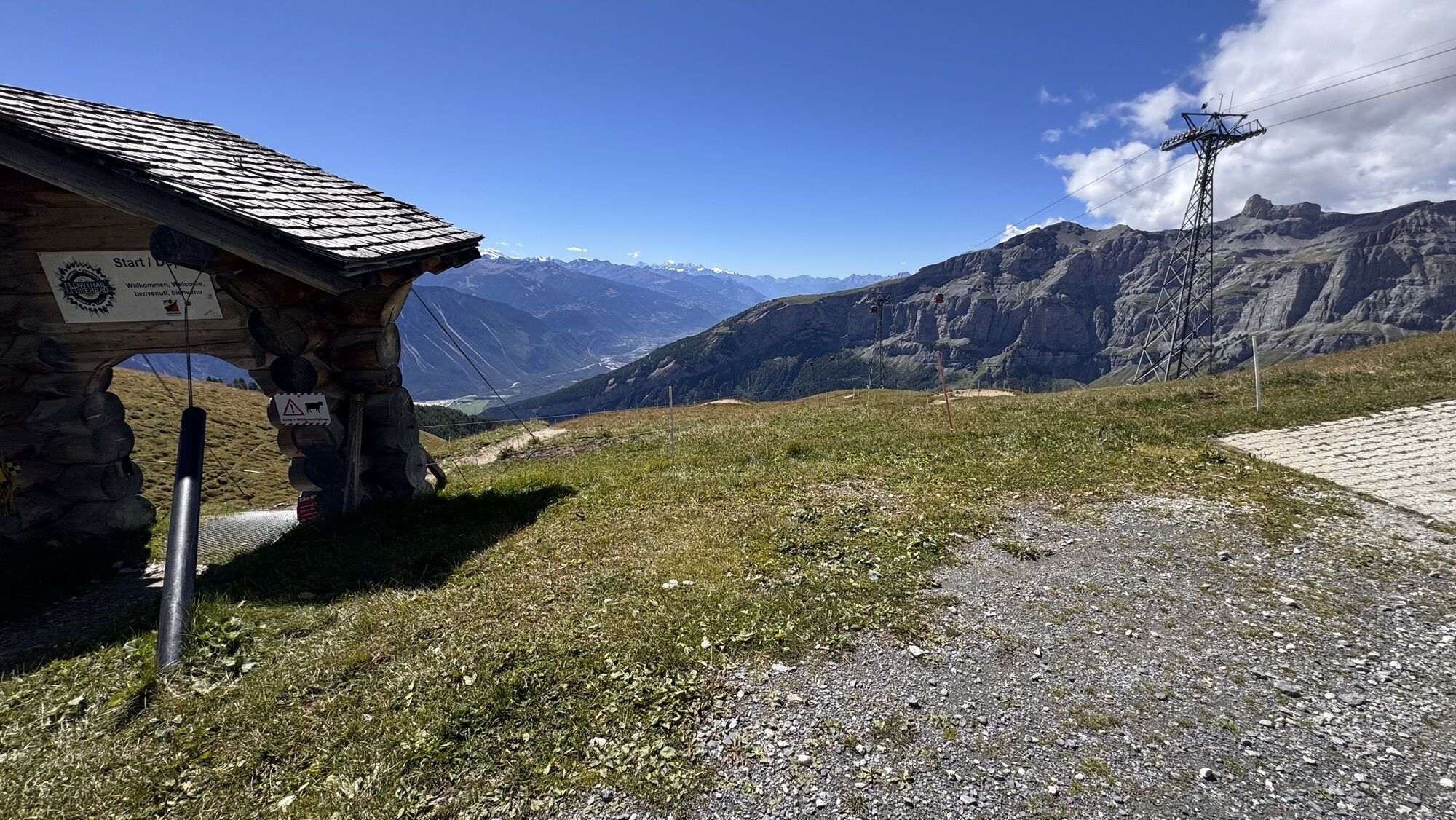
This demanding mountain hike starts in Ferden. The alpine trail leads up to the Restialp on the Lötschental High Route. The mountain trail then steadily ascends to the Restipass at 2,626 m above sea level....
This demanding mountain hike starts in Ferden. The alpine trail leads up to the Restialp on the Lötschental High Route. The mountain trail then steadily ascends to the Restipass at 2,626 m above sea level. Afterwards, the path gently winds through a beautiful mountain landscape past small lakes to the Rinderhütte, from where the cable car conveniently takes hikers to Leukerbad.

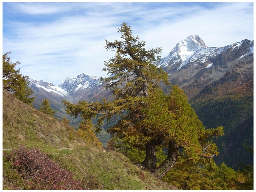

Ferden-Restialp-Restipass-Rinderhütte (Leukerbad)
Ano
Ano
Plan every mountain hike carefully!
Make sure to have suitable and complete equipment!
Never go on a mountain hike alone!
Inform relatives, acquaintances, the hut warden or hotel porter about your route. Report back upon arrival at the destination!
Constantly observe the weather development!
Follow the principle: "When in doubt, turn back"!
From Leuk, you drive up to Leukerbad. Leukerbad has a parking guidance system. Follow the signs to the Leukerbad-Rinderhütte cable car.
Take the train to Leuk. From there the bus takes you to Leukerbad. The cable car takes you up to the Rinderhütte.
You can park your car in the Torrent parking garage (paid).
With the 1:25,000 hiking map, you are perfectly equipped for an unforgettable hiking day in the Lötschental. Available at the Lötschental information office in Wiler or at www.loetschental.ch/webshop
Webové kamery z prohlídky
Bergstation Luftseilbahn Wiler-Lauchernalp
Gemmi - Lodge und Bahnen
Torrent - Schwalbennest
Jeizinen - Feselalpe
Torrent - Rinderhütte
Stafel
Stafel
Stafel
Stafel
Stafel
Bergstation Luftseilbahn Wiler-Lauchernalp
Bergstation Luftseilbahn Wiler-Lauchernalp
Bergstation Luftseilbahn Wiler-Lauchernalp
Bergstation Luftseilbahn Wiler-Lauchernalp
Bergstation Luftseilbahn Wiler-Lauchernalp
Bergstation Luftseilbahn Wiler-Lauchernalp
Bergstation Luftseilbahn Wiler-Lauchernalp
Hockenhorngrat
Hockenhorngrat
Hockenhorngrat
Hockenhorngrat
Hockenhorngrat
Hockenhorngrat
Restaurant Üflängen
Trächu Hittu / Untere Feselalpe
Stafel
Bratsch
Obere Feselalpe
Torrent Rinderhütte
Wiler Lötschental
Získejte přehled Vždy živě na místě s více než 9 500 webkamerami. bergfex Jako uživatel Pro si nyní můžete zobrazit odpovídající webové kamery pro mnoho prohlídek v aplikaci prohlídky z. Můžete si tak přímo prohlédnout aktuální podmínky. Oblíbené prohlídky v okolí
- 4,9
Kandersteg - Oeschinensee - Blüemlisalphütte
heavyTuristika 11,8 km - 4,0
Rundwanderung Lötschenpasshütte
středníTuristika 12,2 km - 5,0
Lauchernalp-Lötschenpass-Selden
heavyTuristika 12,0 km - 4,7
Lötschentaler Höhenweg
světloTuristika 9,17 km - 4,5
Oeschinensee
světloTuristika 15,2 km - 5,0
Restipass
Turistika 14,5 km - 4,7
Leukerbad - Gemmipass - Lämmerenhütte
středníTuristika 9,49 km - 5,0
Torrenthorn- Rigi der Walliser Alpen
Turistika 2,99 km - 4,0
Gemmipass - Lämmerenhütte - Rote Totz Lücke - Daubensee - Gemmipass
středníTuristika 13,7 km Gratweg
Via ferrata 5,16 km
Pěší turistika a stopování


Nenechte si ujít nabídky a inspiraci pro vaši příští dovolenou
Vaše e-mailová adresa byl přidán do poštovního seznamu.





