







Mattmark Challenge - 30K Weissmies Trail
Úroveň obtížnosti: T2
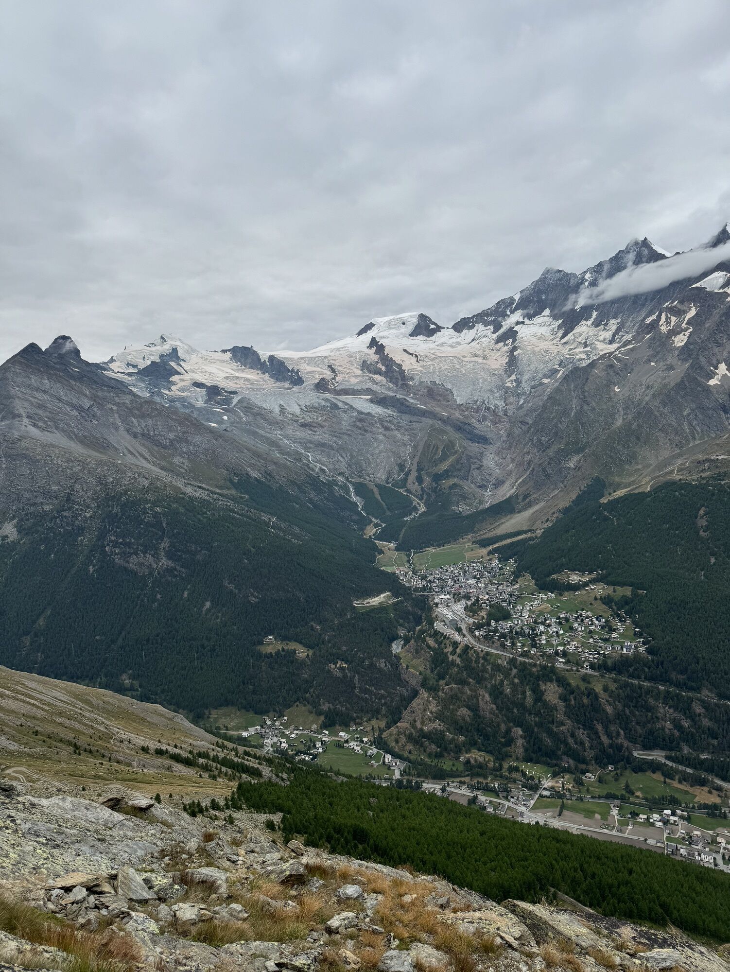
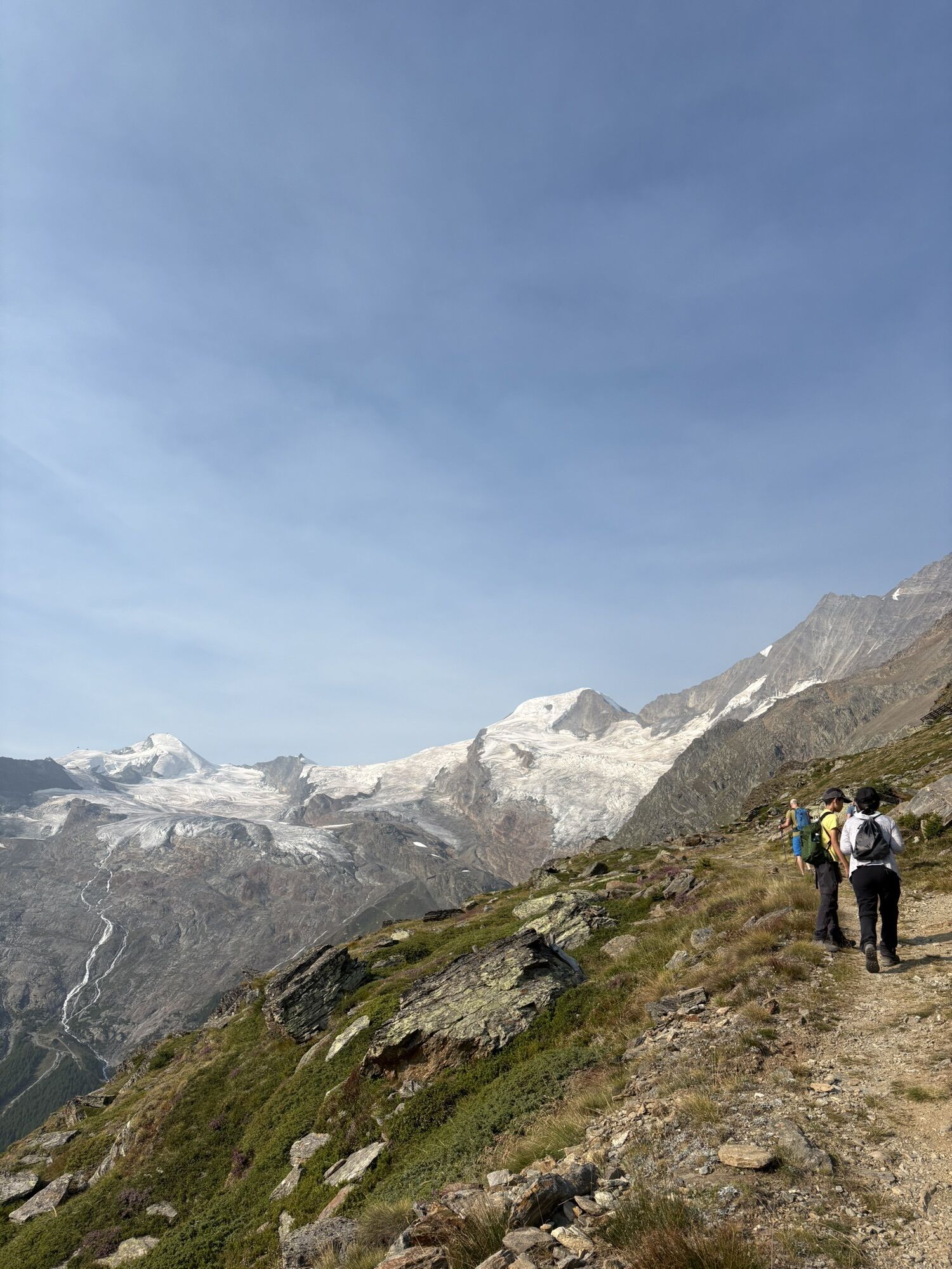
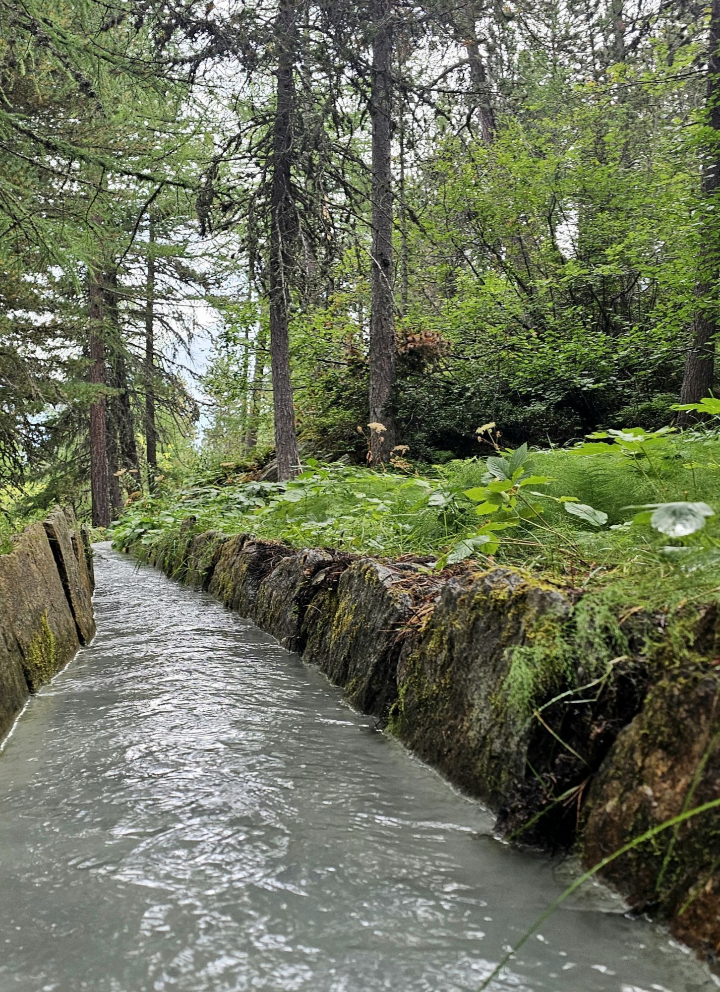
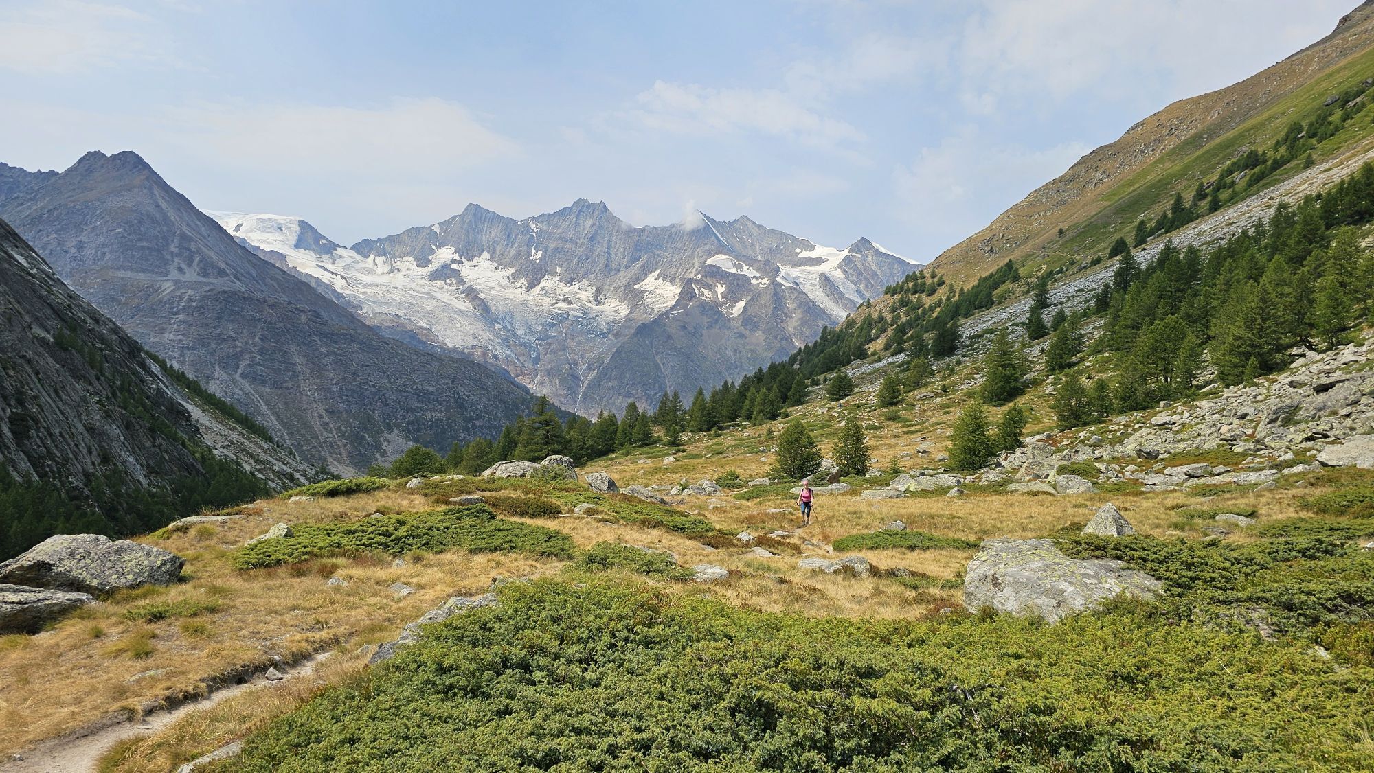
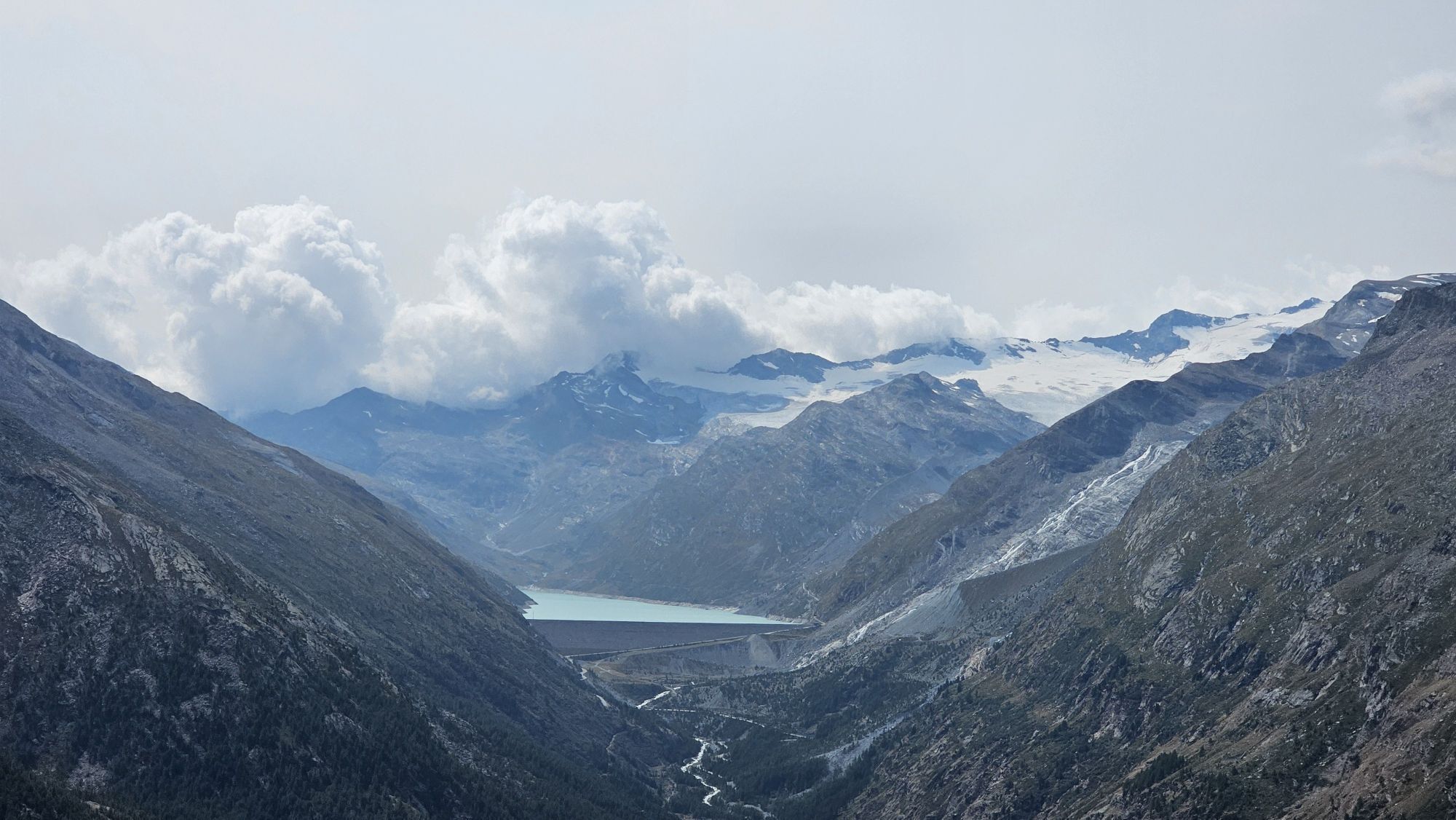
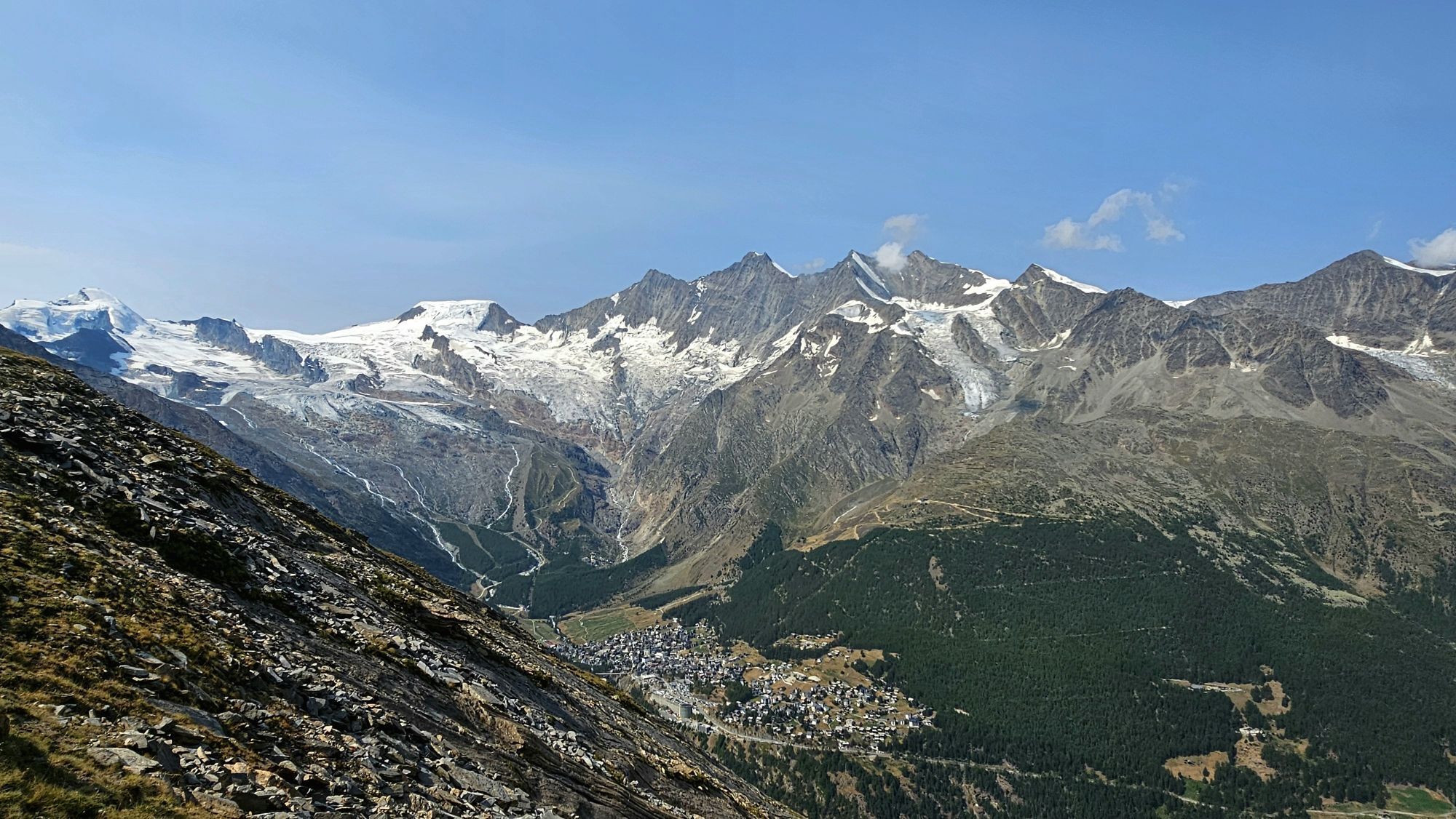
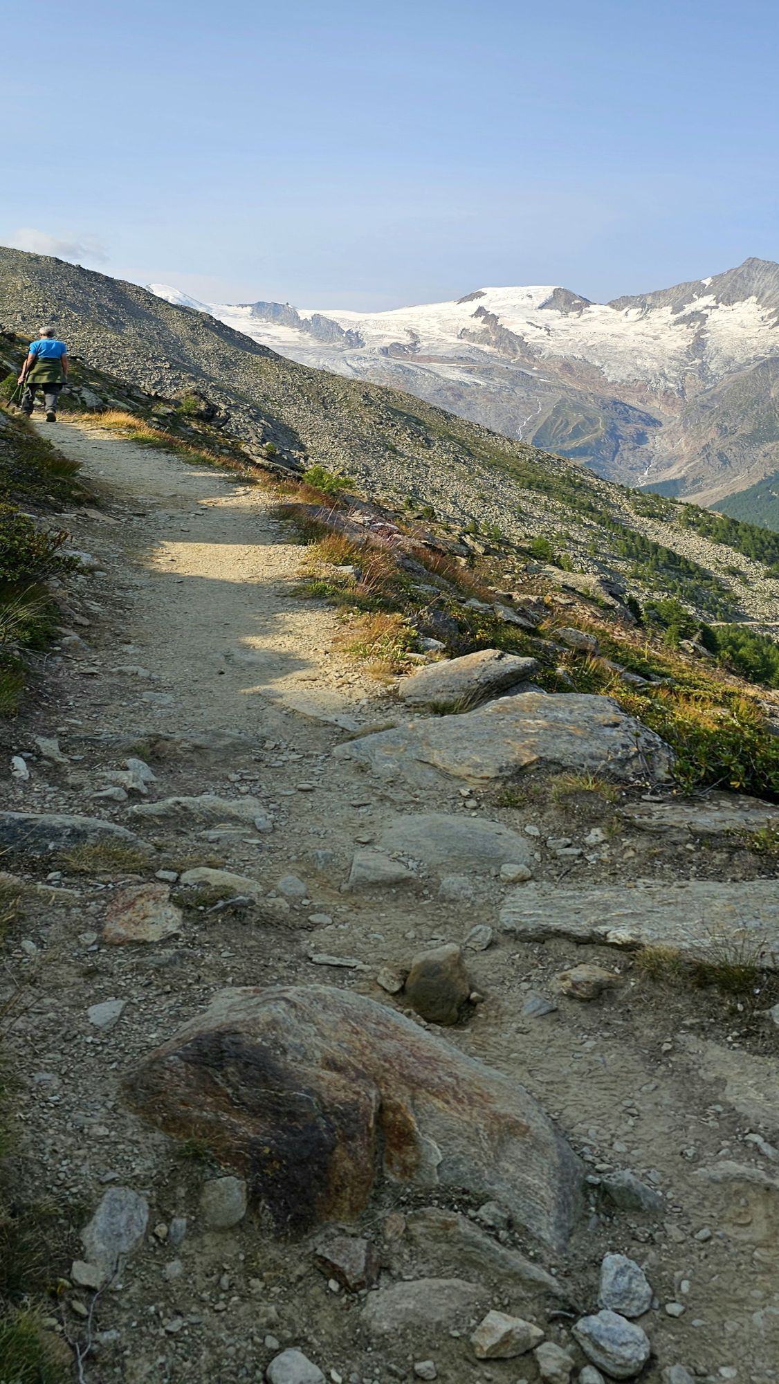
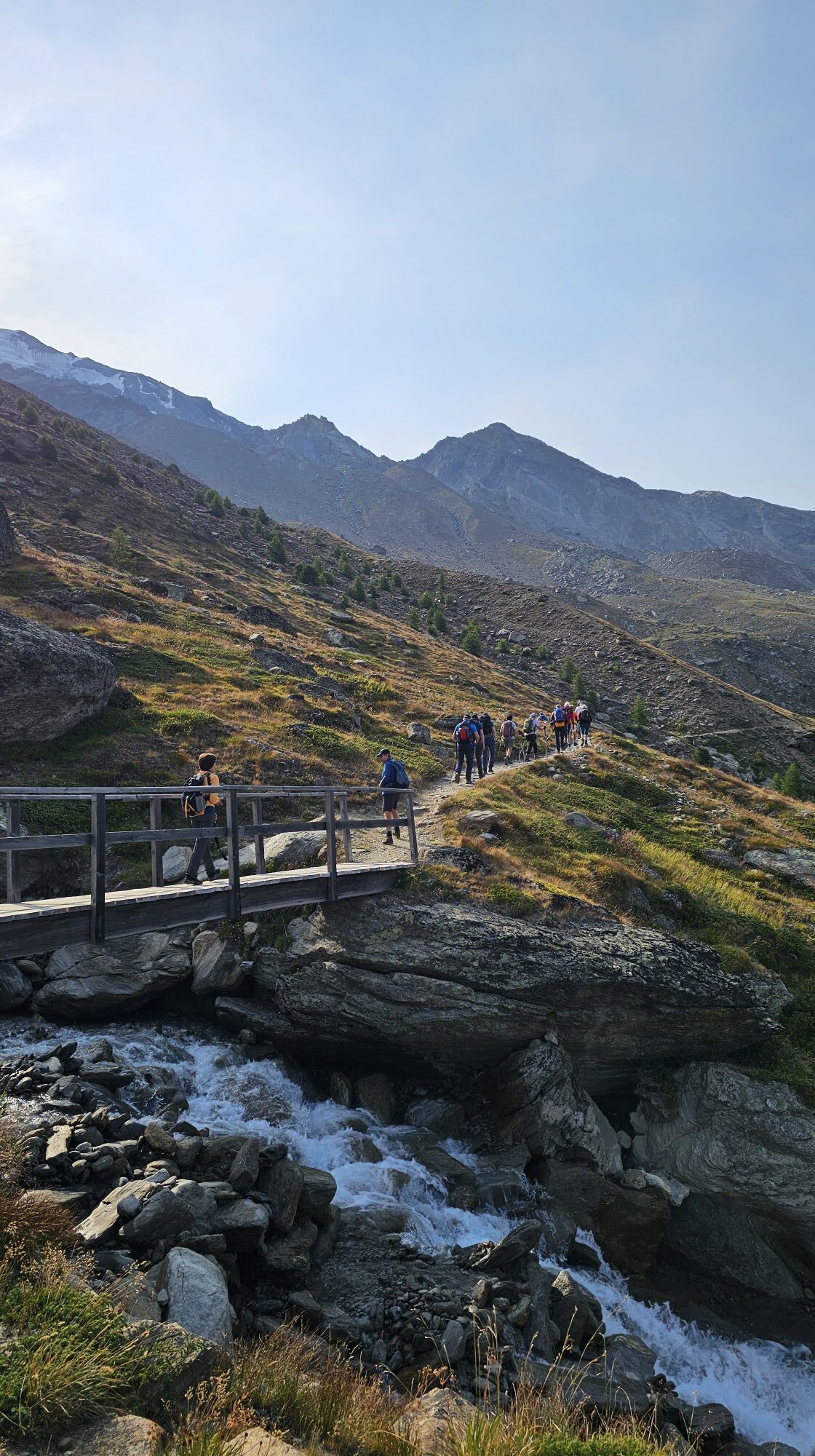
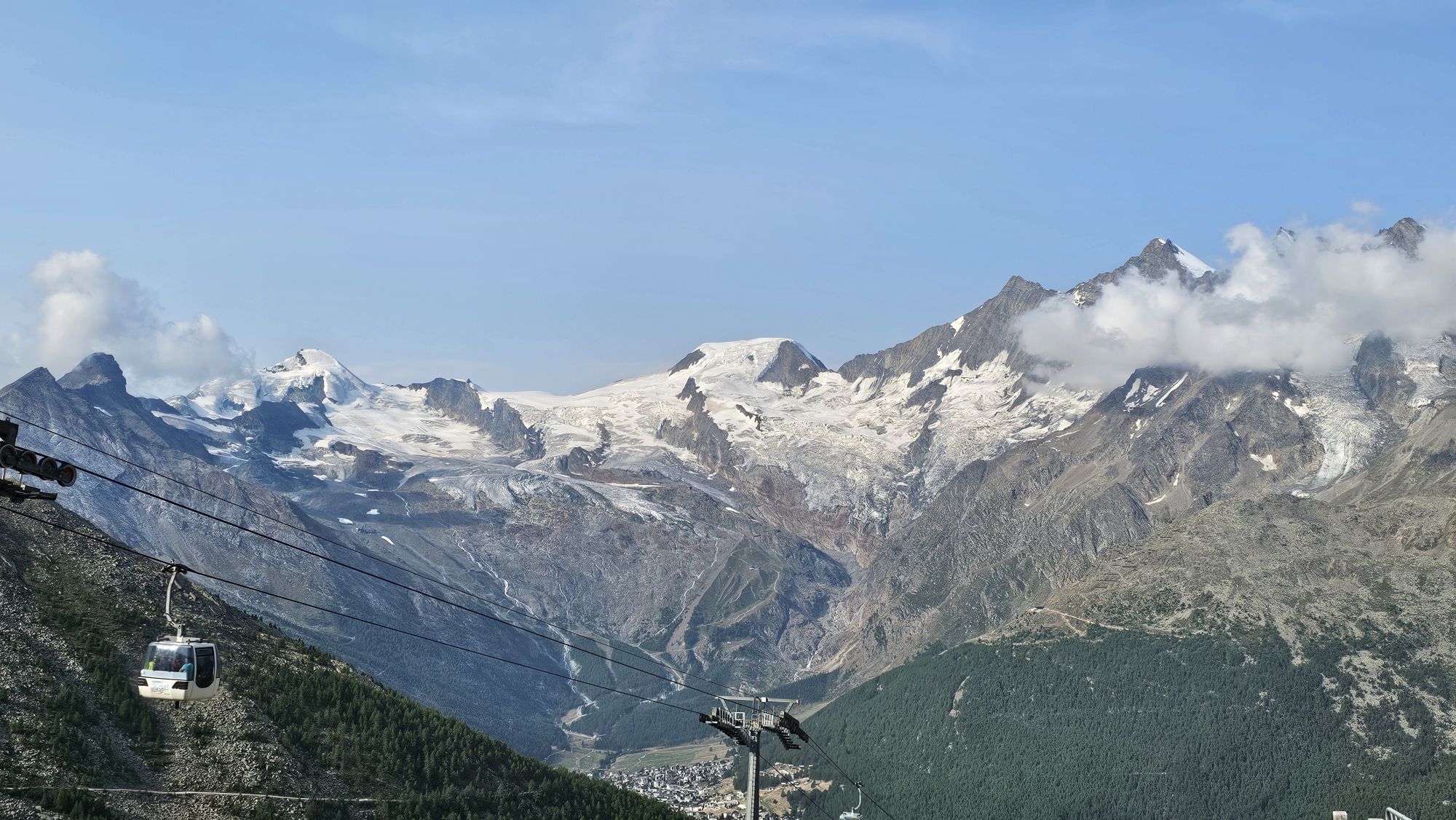
The 30K of the MATTMARK Memorial 1965 is a unique event on technically demanding, high alpine trails through the picturesque Saastal. During the race, you are rewarded with a unique panoramic view of the...
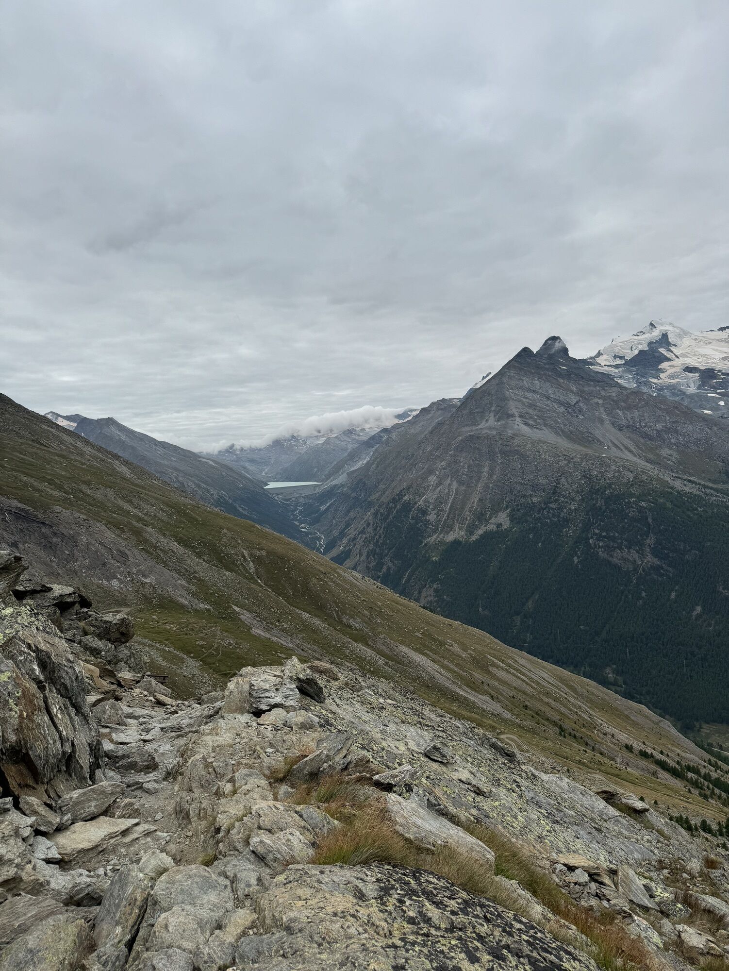
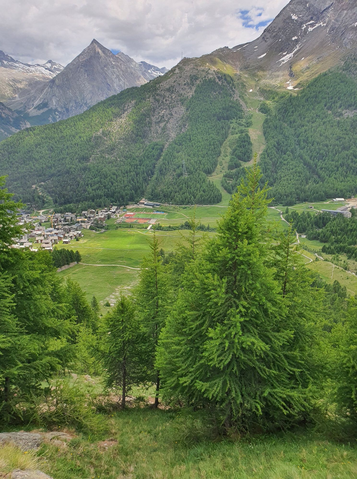
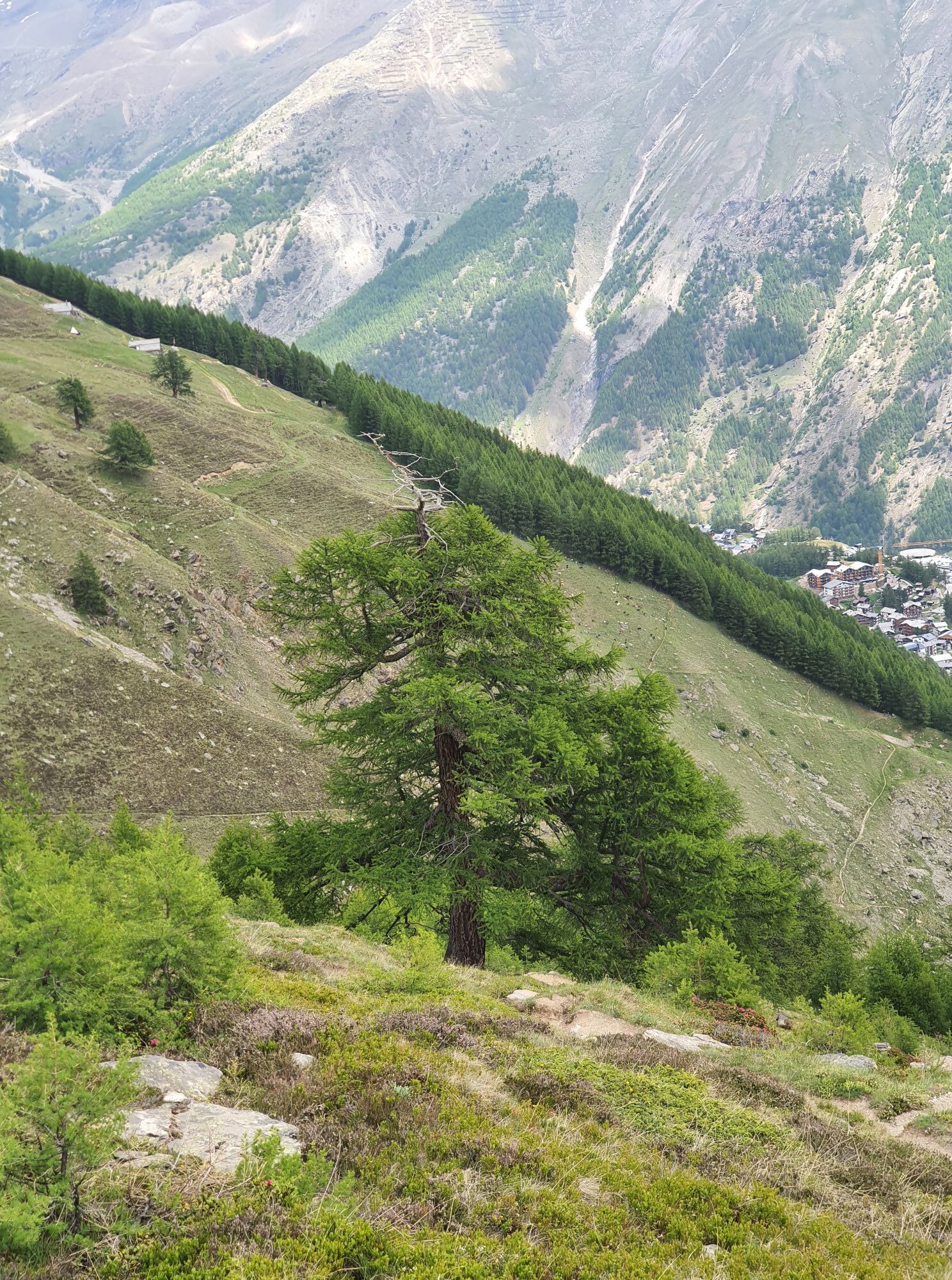
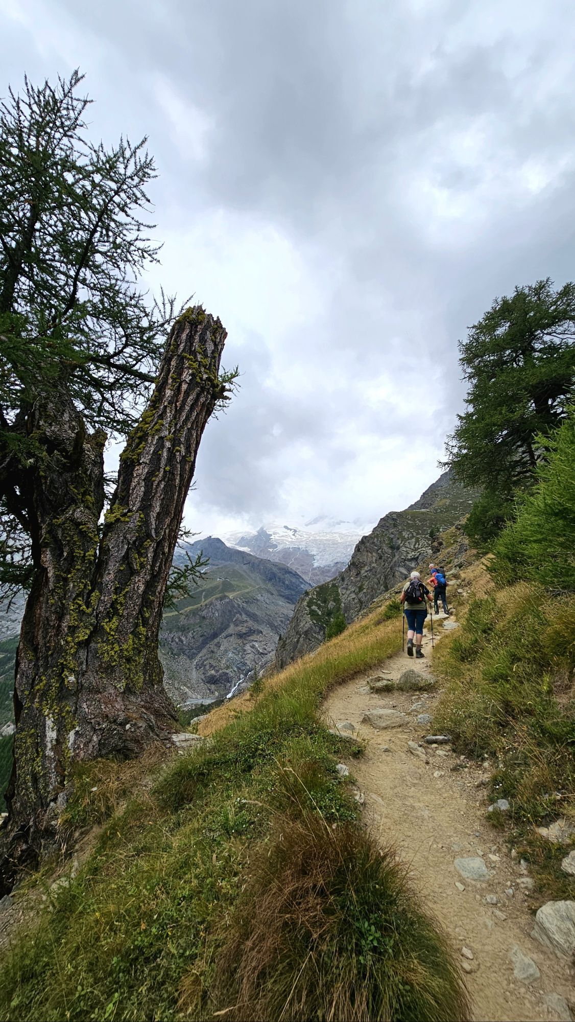
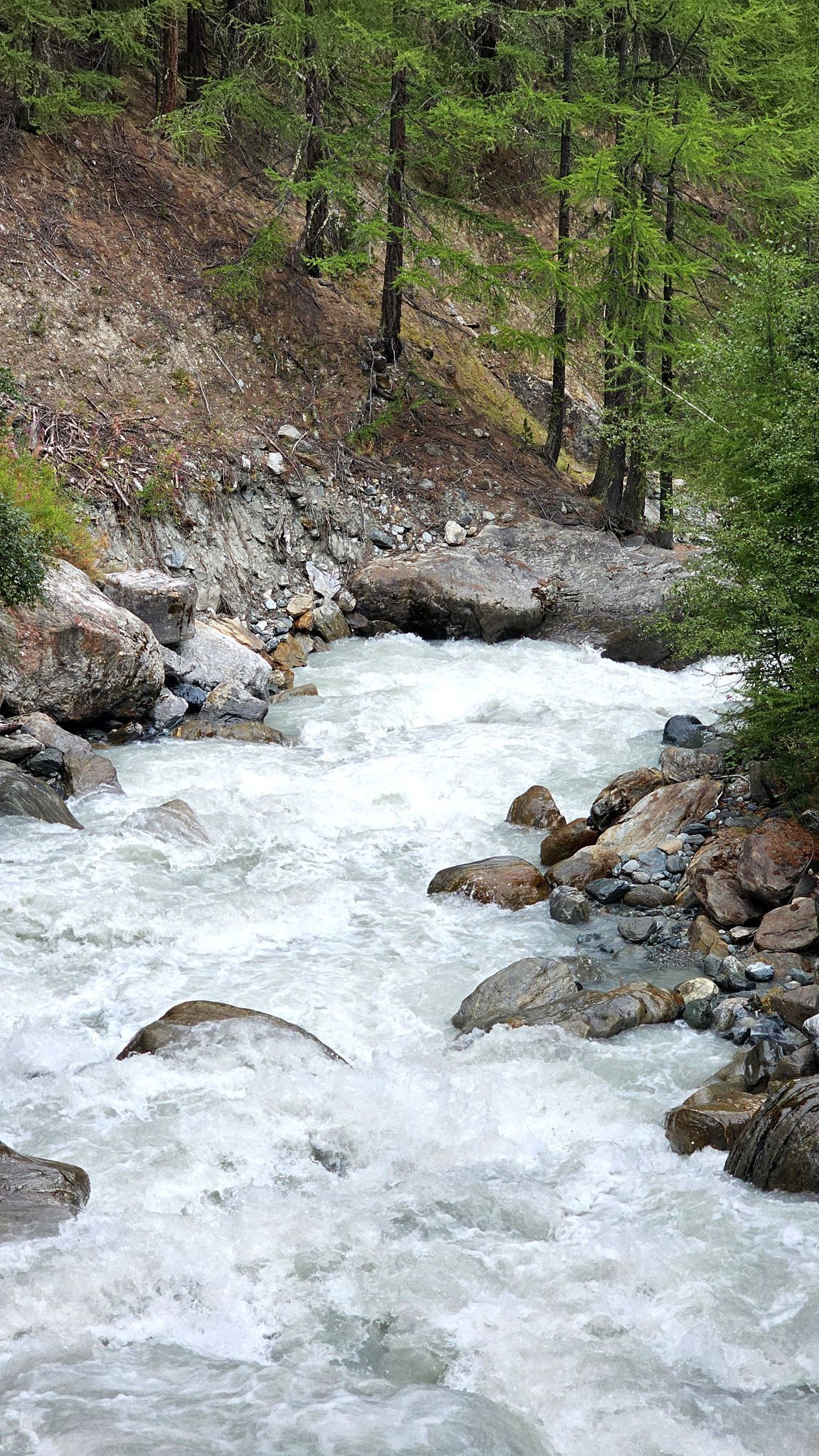
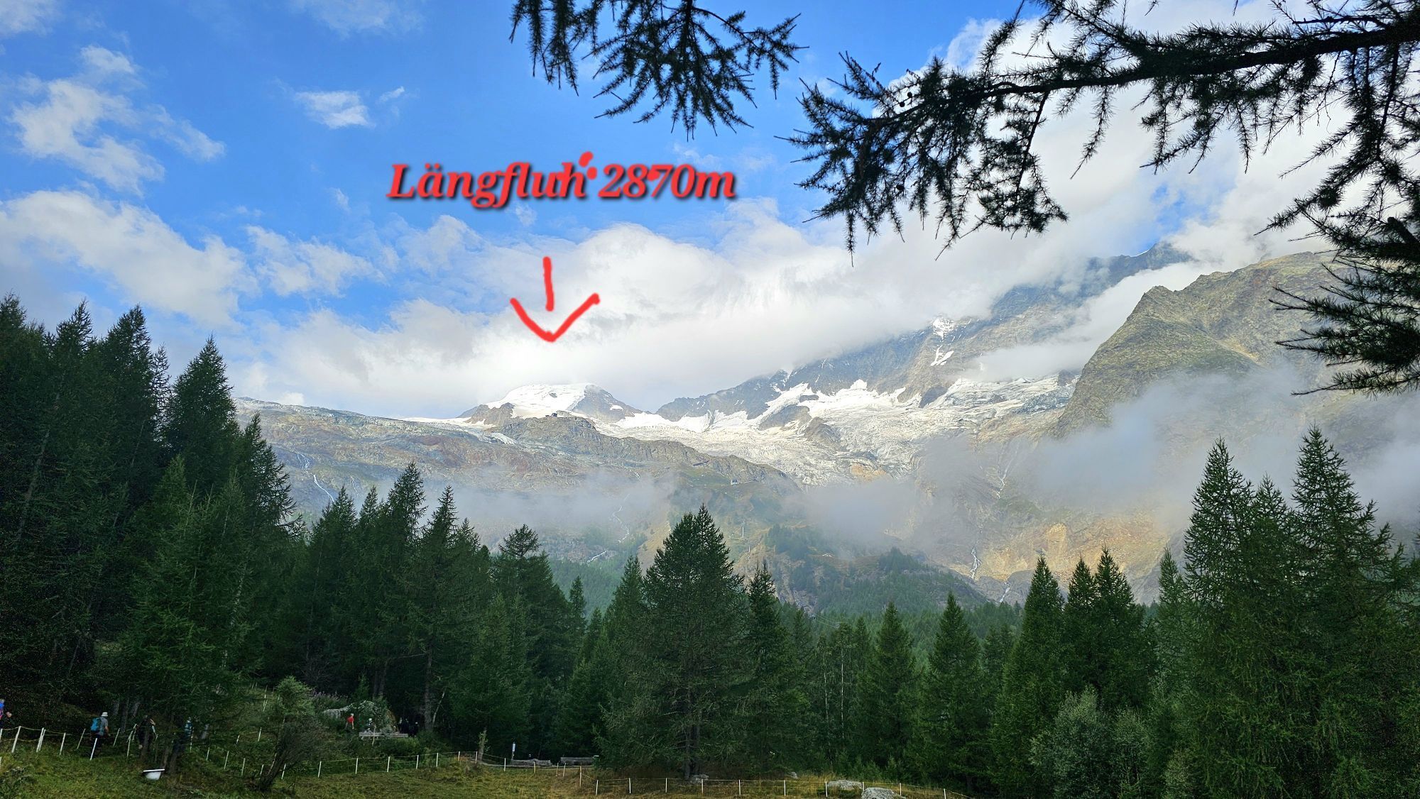
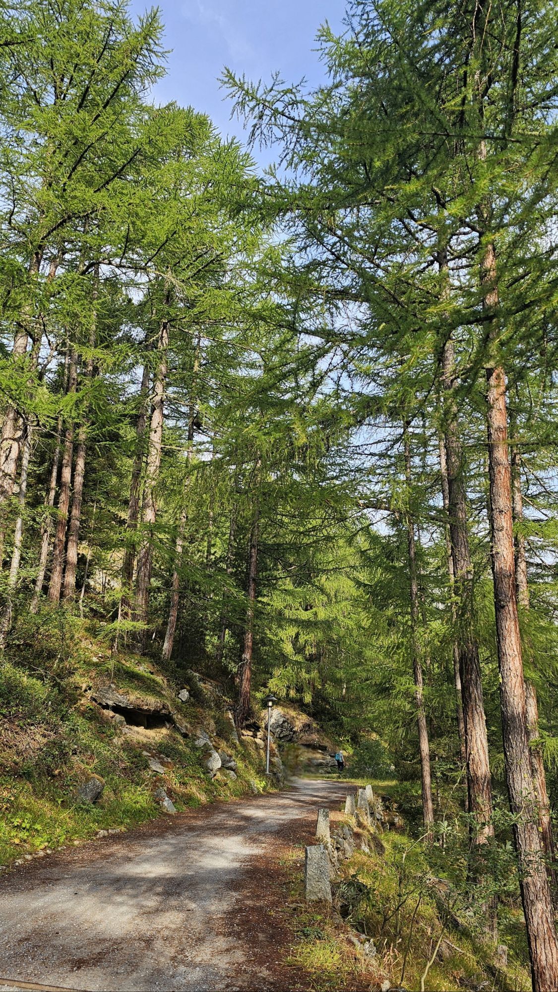
The 30K of the MATTMARK Memorial 1965 is a unique event on technically demanding, high alpine trails through the picturesque Saastal. During the race, you are rewarded with a unique panoramic view of the Mischabel range. After the final climb on fantastic trails through green larch forests, you reach the largest earth dam in Europe.
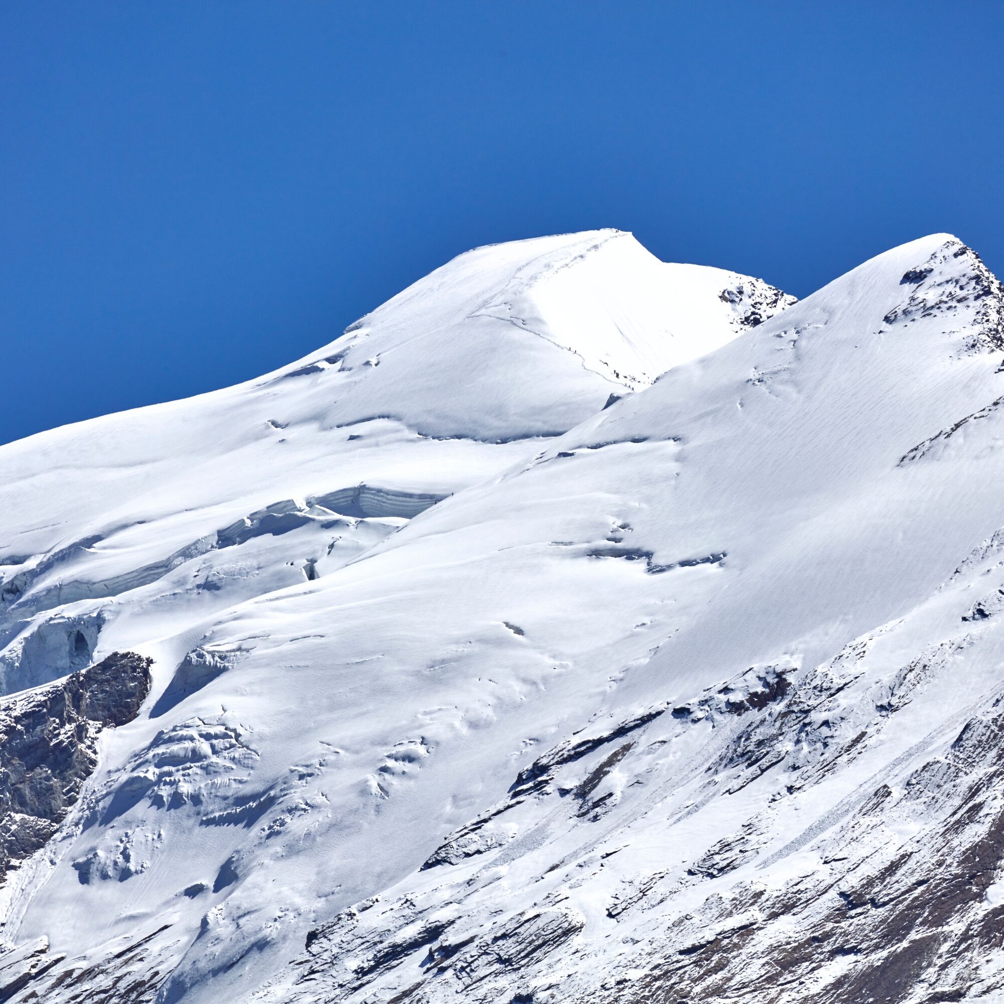
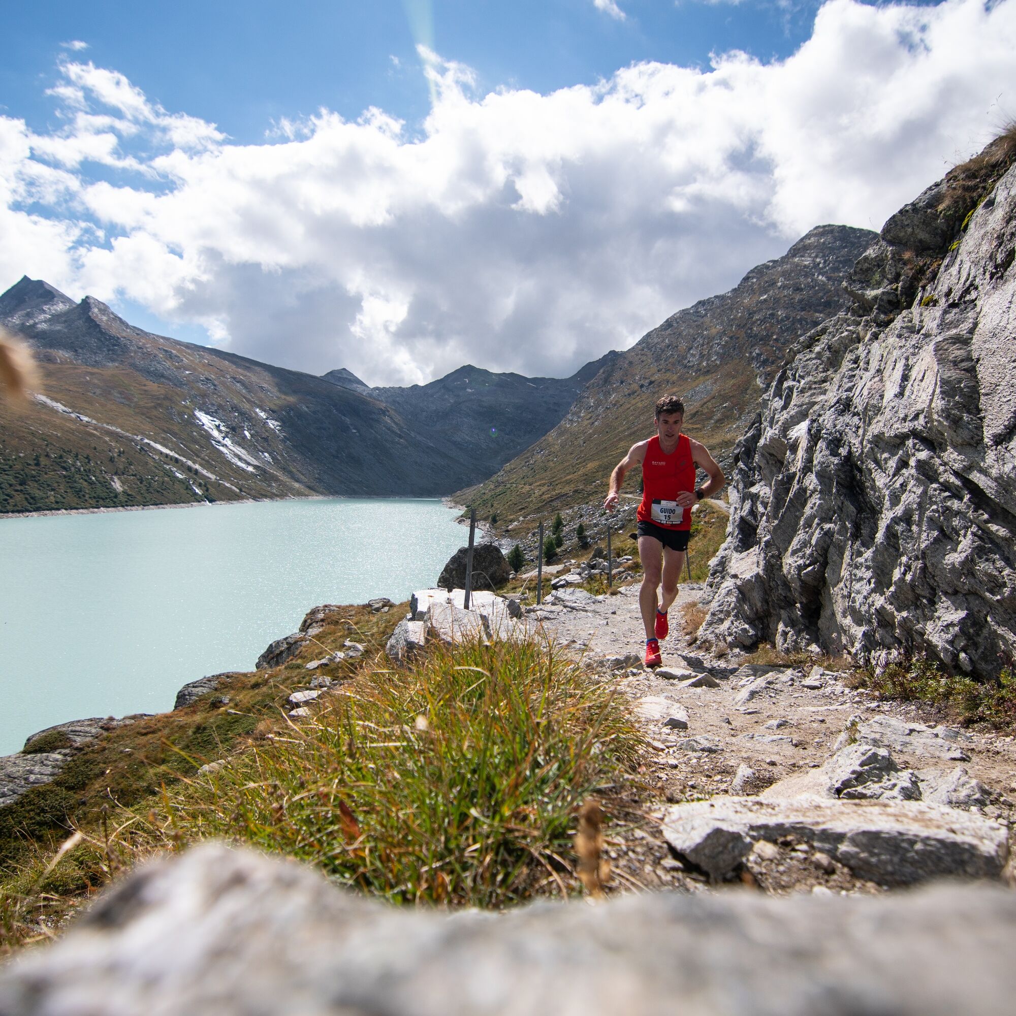

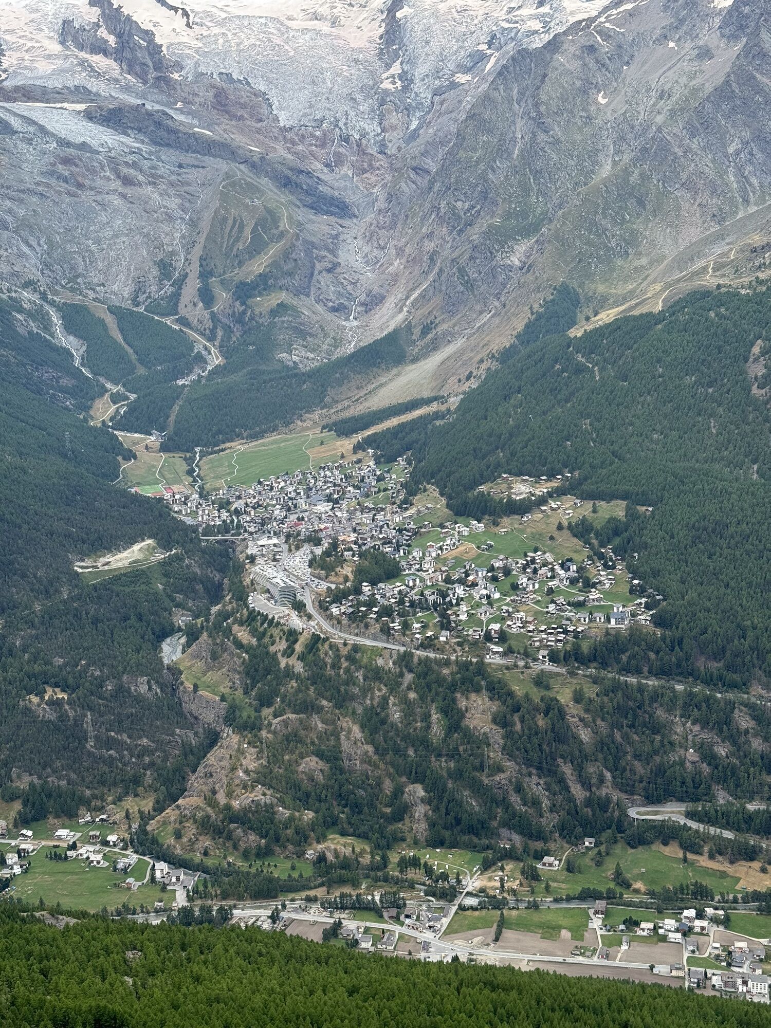
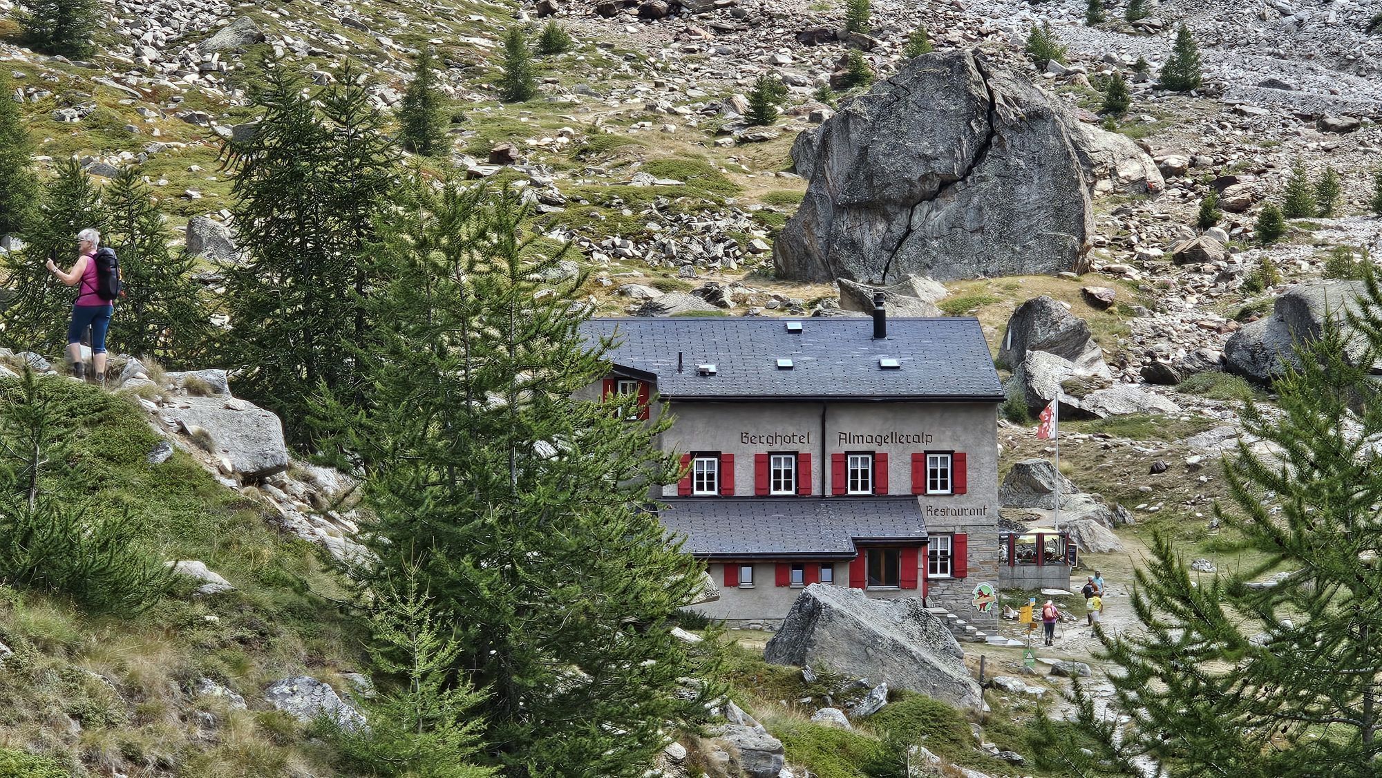
Saas-Grund – Kreuzboden – Almagelleralp – Zermeiggern – Saas-Almagell – Saas-Fee – Hannig – Sengg - Saas-Grund
Kit for cold temperatures:
Additional warm clothing Warm gloves Waterproof pants cover Extra warm microfiber long-sleeve jerseyUse of hiking trails and information on this website is at your own risk. Conditions on site may lead to changes in the route.
Only use marked hiking trails and observe all signposts and instructions – for your own safety, to protect grazing animals, and out of respect for wildlife. Close gates again after passing through. Behave considerately towards other trail users, plants, and animals. Take additional sun protection with you. UV rays at high altitudes can be very strong, even in overcast weather. Plan your trail carefully: consider the required fitness level of all participants, weather forecasts, and seasonal dependencies. Weather conditions in the mountains can change very quickly and without warning. Appropriate clothing and provisions (food and drink) are very important. In unstable weather, it is better to turn back early. Inform third parties about your trail route and if possible do not go alone. Observe warning signs indicating dangers at riverbanks, along watercourses below dams and reservoirs: Water levels can rise quickly and without warning.The Saastal is easy and convenient to reach by car from all directions, whether from Switzerland or abroad. From the north, you reach us via Bern through the Lötschberg car train. From the east, you arrive via the Furka Pass or the Furka car train. From the south, we are accessible via the Simplon Pass or the Simplon car train, and from the west you drive via Lausanne along the Rhone valley to Visp and from there towards Saas-Fee.
From Visp you drive south towards Saas-Fee. At the roundabout "Killerhof" towards Stalden, take the second exit towards Saas-Fee and follow the main road to Saas-Balen.
Take the SBB to Visp and change there to the post bus towards Saas-Fee (bus 511). Get off at the Saas-Balen stop "Dorf".
After the bridge on the right is the public car park of Saas-Balen.
T2
Získejte přehled
Vždy živě na místě s více než 9 500 webkamerami. bergfex Jako uživatel Pro si nyní můžete zobrazit odpovídající webové kamery pro mnoho prohlídek v aplikaci prohlídky z. Můžete si tak přímo prohlédnout aktuální podmínky.
Oblíbené prohlídky v okolí
-
4.9
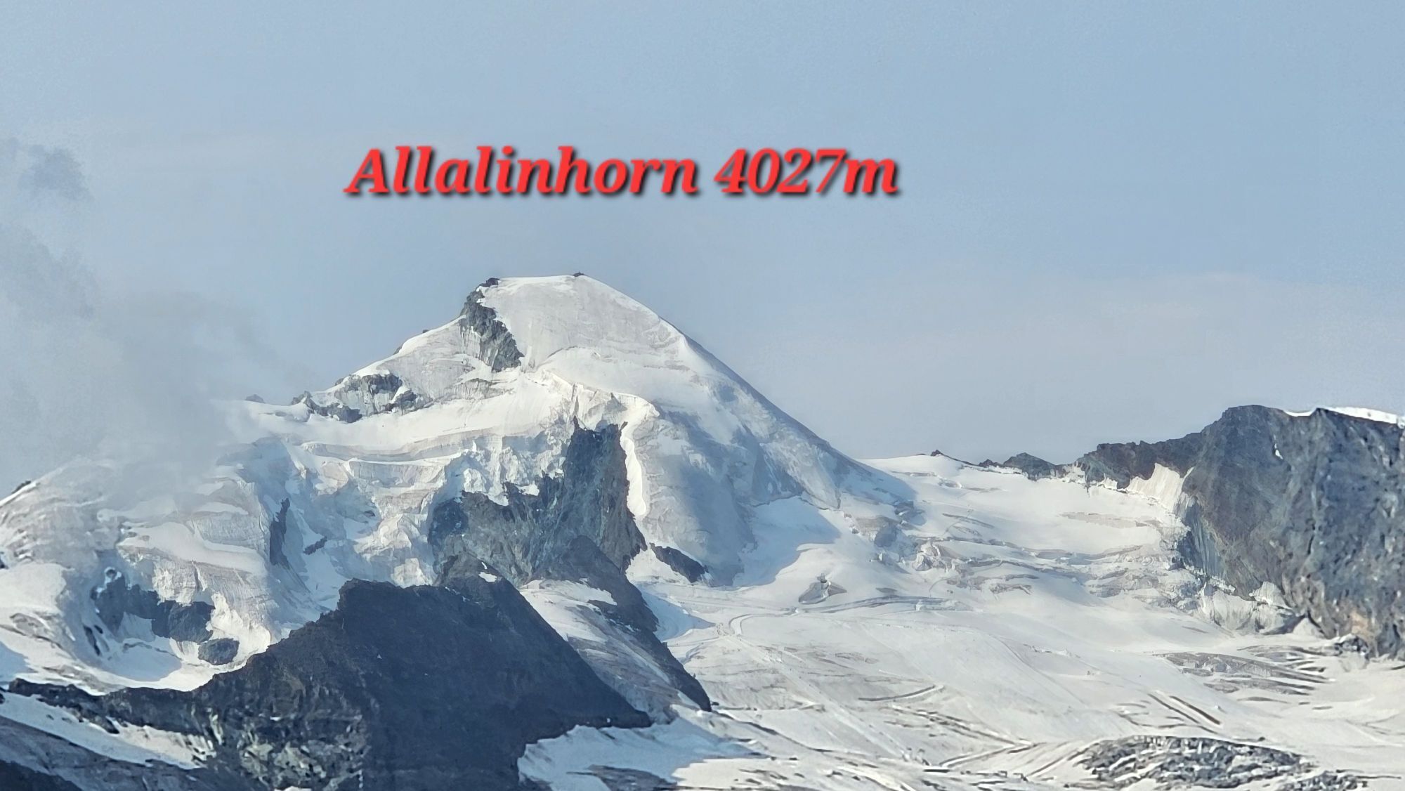
Allalinhorn vom Mittelallalin über Normalweg
středníVysokohorská turistika 6.15 km -
3.3
Europaweg Grächen - Europahütte - Zermatt
heavyTuristika 39.9 km -
3.6
Höhenweg Kreuzboden - Almagelleralp - Saas-Almagell
Turistika 9.74 km -
3.5
Waldweg Saas-Fee - Saas-Almagell
Turistika 2.83 km -
4.7
Weissmies Südgrat von Saas Almagell
středníVysokohorská turistika 20.5 km -
4.8
Marmot mountain path Spielboden
středníTuristika 3.89 km -
3.8
Höhenweg Saas-Fee - Grächen
Turistika 12.0 km -
5.0
Via ferrata Jägihorn
heavyVia ferrata 6.14 km -
4.5
Ibex path
středníTuristika 9.02 km -
5.0
Mountain trail Kreuzboden - Hohsaas
středníTuristika 4.65 km
Pěší turistika a stopování


Nenechte si ujít nabídky a inspiraci pro vaši příští dovolenou
Vaše e-mailová adresa byl přidán do poštovního seznamu.





