






Marble run Lauchernalp - Wiler (Baann Forest)
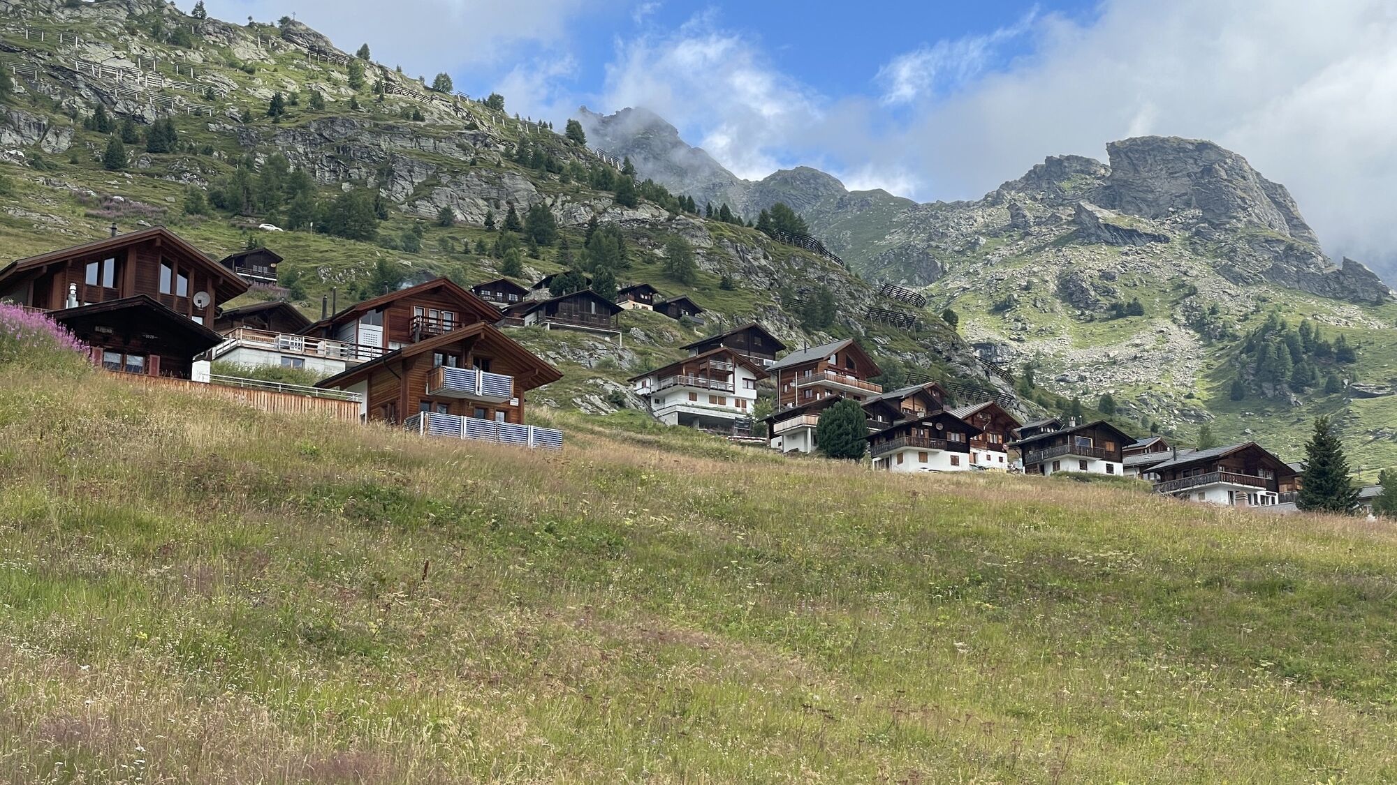
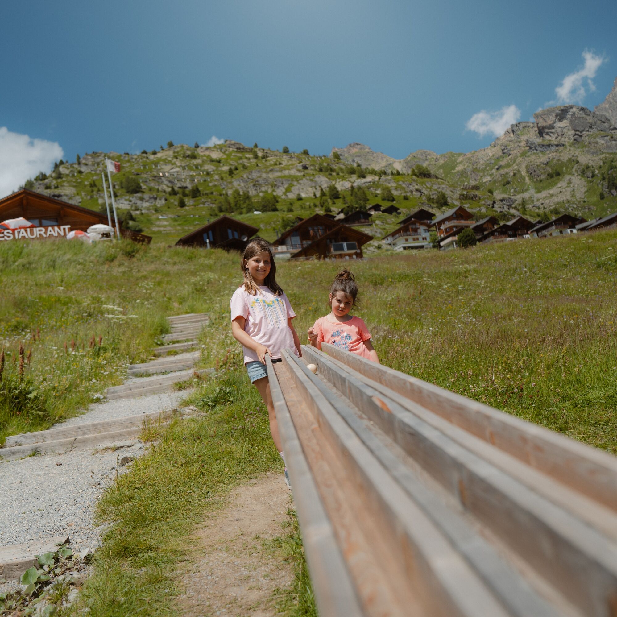
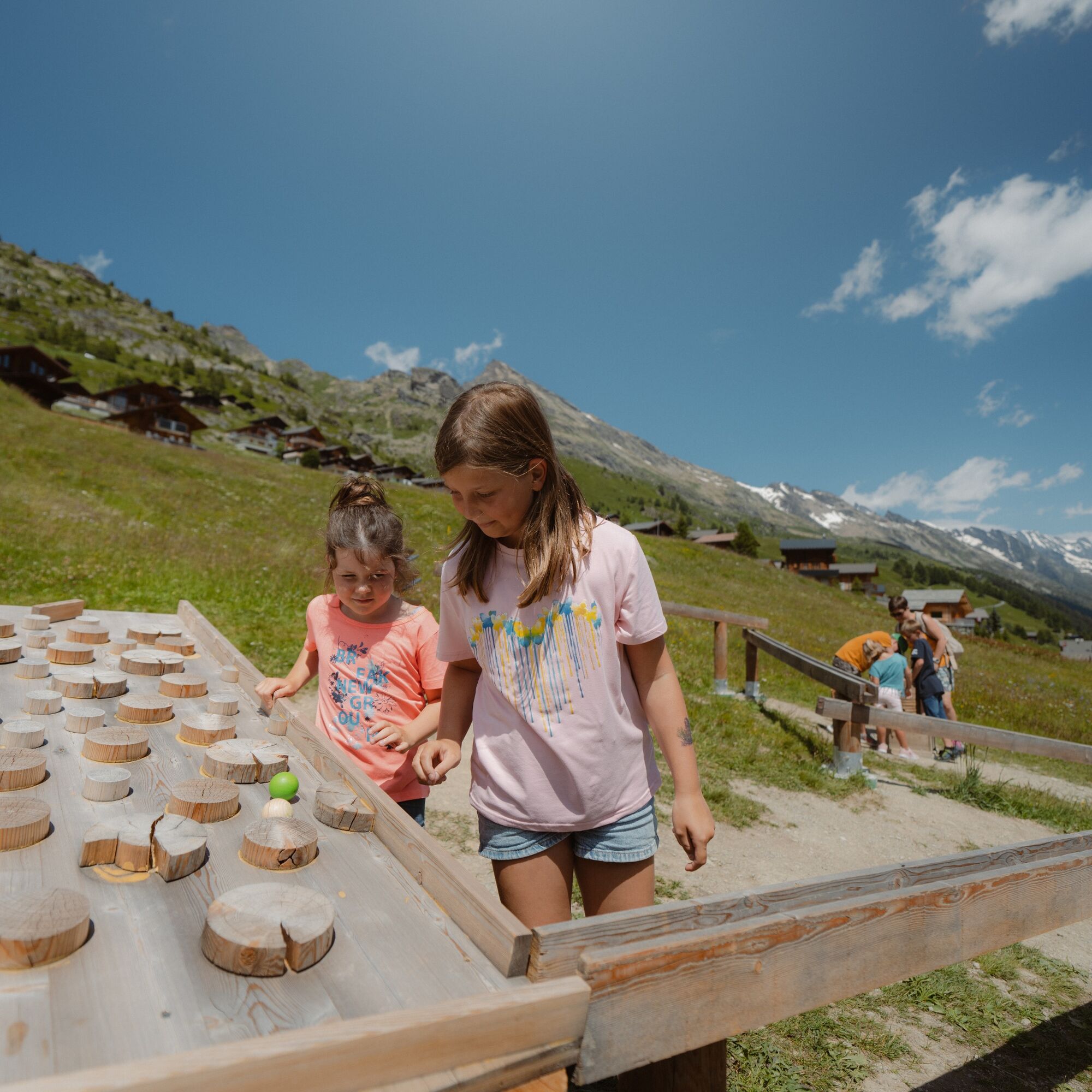
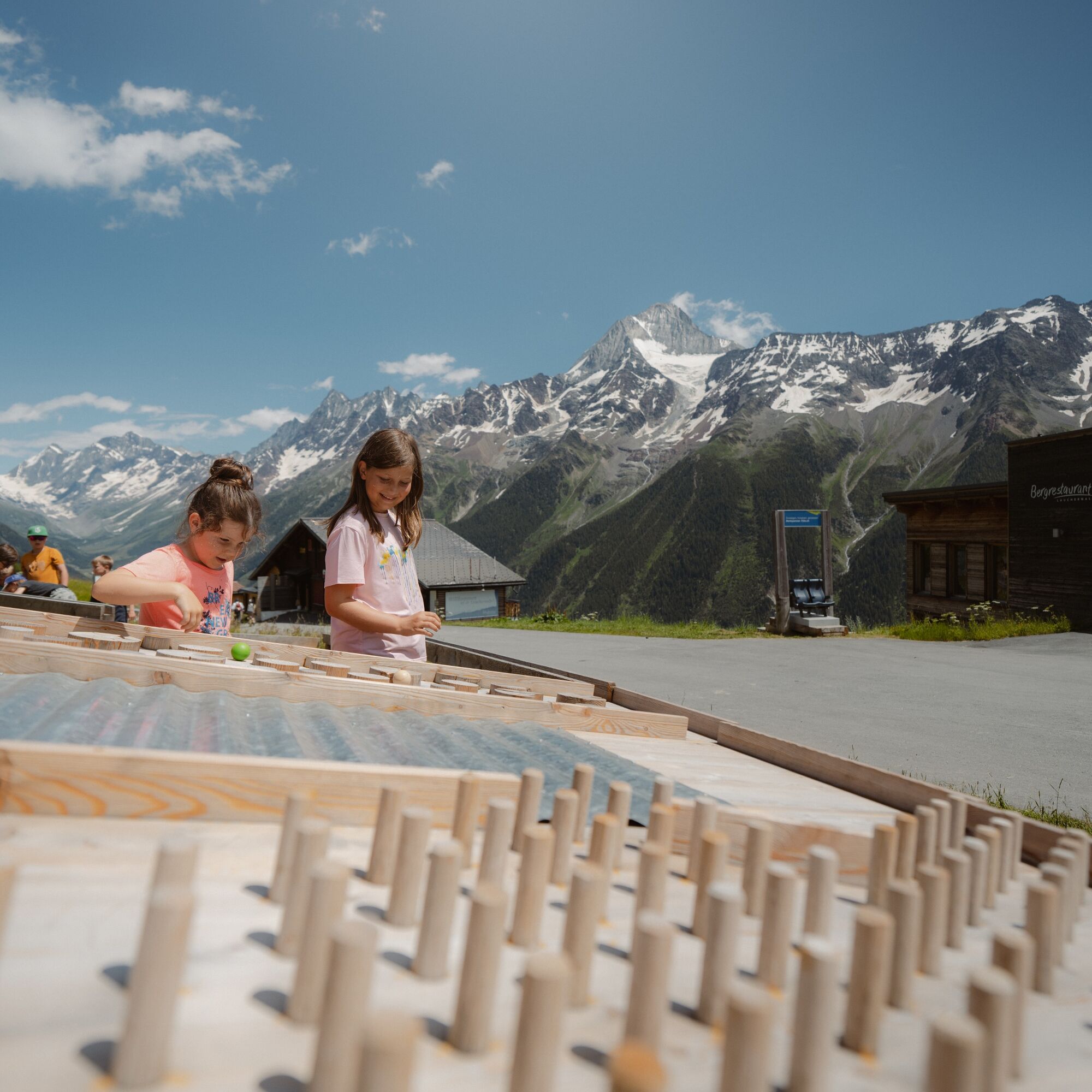
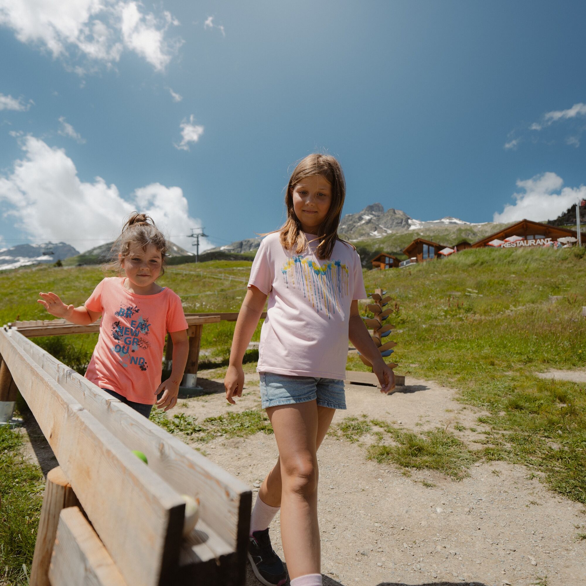
The new marble run leads through the Baann Forest past 10 marble tracks from Lauchernalp down to Wiler. From the Lauchernalp mountain station, follow the road towards Wiler before the hiking path branches...
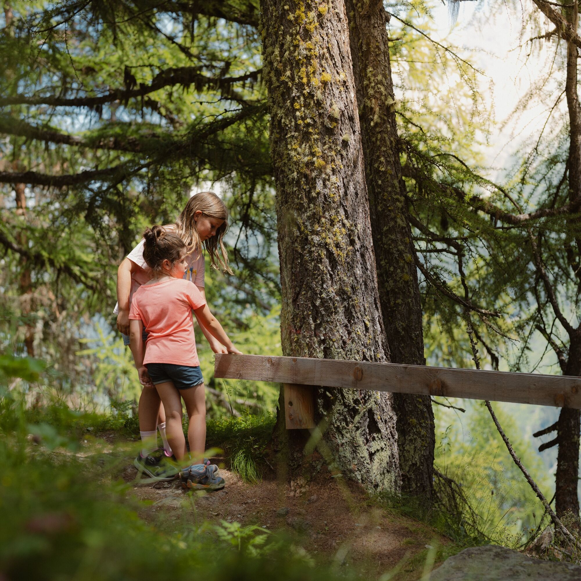
The new marble run leads through the Baann Forest past 10 marble tracks from Lauchernalp down to Wiler. From the Lauchernalp mountain station, follow the road towards Wiler before the hiking path branches off right towards Wiler after Alpine Village. The hiking path winds through the cool Baann Forest to the village of Wiler and continues to the recreation facility Gsteinät. Highlights besides the marble tracks are the carved tree figures that can be seen in the Baann Forest. At the Gsteinät recreation facility, a mini-golf course and a playground await hikers.
The green wooden marbles for the marble run are available at the Tourist Information in Wiler, the valley and mountain stations of the cable car, and at the Panorama Restaurant Lauchernalp.


Lauchernalp - Wiler - Gsteinät
Ano
Ano
Plan every hike carefully!
Ensure suitable and complete equipment!
Never hike alone in the mountains!
Inform relatives, acquaintances, the hut warden, or the hotel porter about your route. Report back upon arrival at your destination!
Constantly monitor the weather development!
Observe the principle "When in doubt, turn back"!
From Goppenstein you drive into the Lötschental, past the villages Ferden, Kippel to Wiler to the valley station of the cable car. With the cable car, you go up to Lauchernalp.
From Gampel-Steg or Goppenstein, the PostBus takes you to Wiler. PostBus stop "Wiler, cable car". With the cable car, you will go up to Lauchernalp.
You can park your car at the parking lot or in the parking garage at the valley station of the cable car (paid).
With the 1:25,000 hiking map, you are perfectly equipped for an unforgettable hiking day in the Lötschental. Available at the Lötschental information center in Wiler or at www.loetschental.ch/webshop
Získejte přehled
Vždy živě na místě s více než 9 500 webkamerami. bergfex Jako uživatel Pro si nyní můžete zobrazit odpovídající webové kamery pro mnoho prohlídek v aplikaci prohlídky z. Můžete si tak přímo prohlédnout aktuální podmínky.
Oblíbené prohlídky v okolí
-
4.4
Kandersteg - Oeschinensee - Blüemlisalphütte
heavyTuristika 11.8 km -
4.0
Rundwanderung Lötschenpasshütte
středníTuristika 12.2 km -
4.8
Lötschentaler Höhenweg
světloTuristika 9.17 km -
5.0
Lauchernalp-Lötschenpass-Selden
heavyTuristika 12.0 km -
4.7
Oeschinensee
světloTuristika 15.2 km -
5.0
Rundwanderung Anenhütte
středníTuristika 10.2 km -
4.0
Oeshinensee
světloHorská turistika 16.4 km -
5.0
Restipass
Turistika 14.5 km -
4.4
Berghaus Oeschinensee - Berghotel Oeschinensee - Reformierte Kirche - Kandersteg
světlodálková pěší trasa 4.64 km -
4.0
Gemmipass - Lämmerenhütte - Rote Totz Lücke - Daubensee - Gemmipass
středníTuristika 13.7 km

Pěší turistika a stopování


Nenechte si ujít nabídky a inspiraci pro vaši příští dovolenou
Vaše e-mailová adresa byl přidán do poštovního seznamu.





