







Alpe Äpnet – Hannigalp Trail
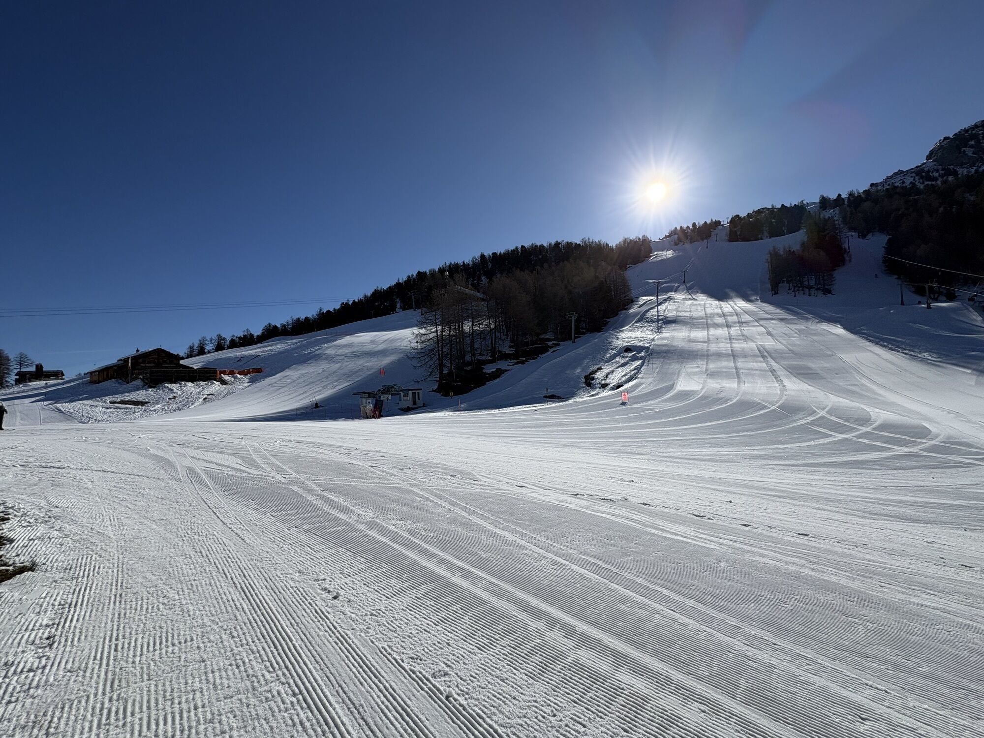
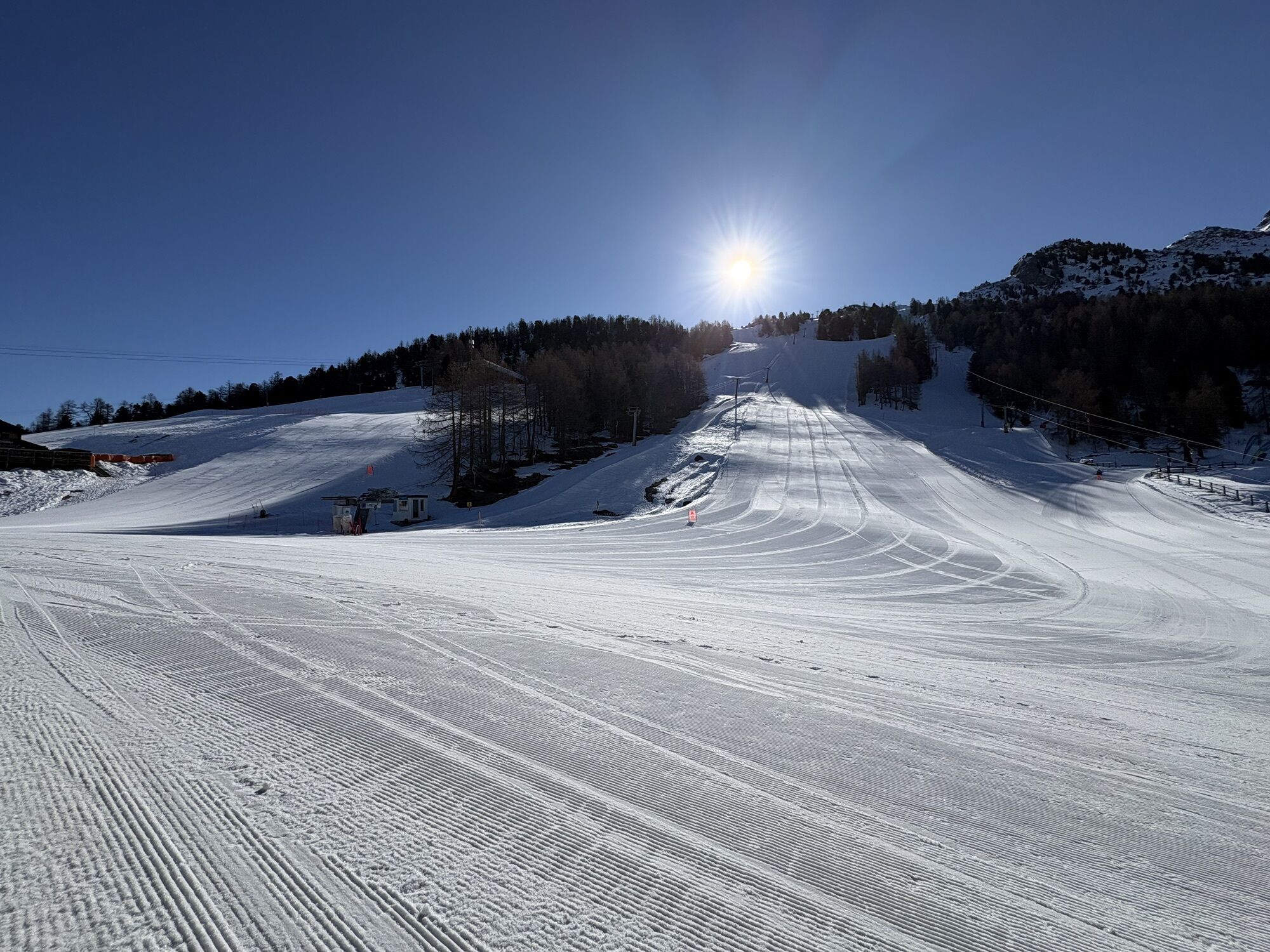
At the idyllic Alpe Äpnet above Grächen, cattle graze in summer, filling their bellies with juicy alpine grass and fresh herbs. Even though you won’t find the animals there in winter, the place is picturesque....
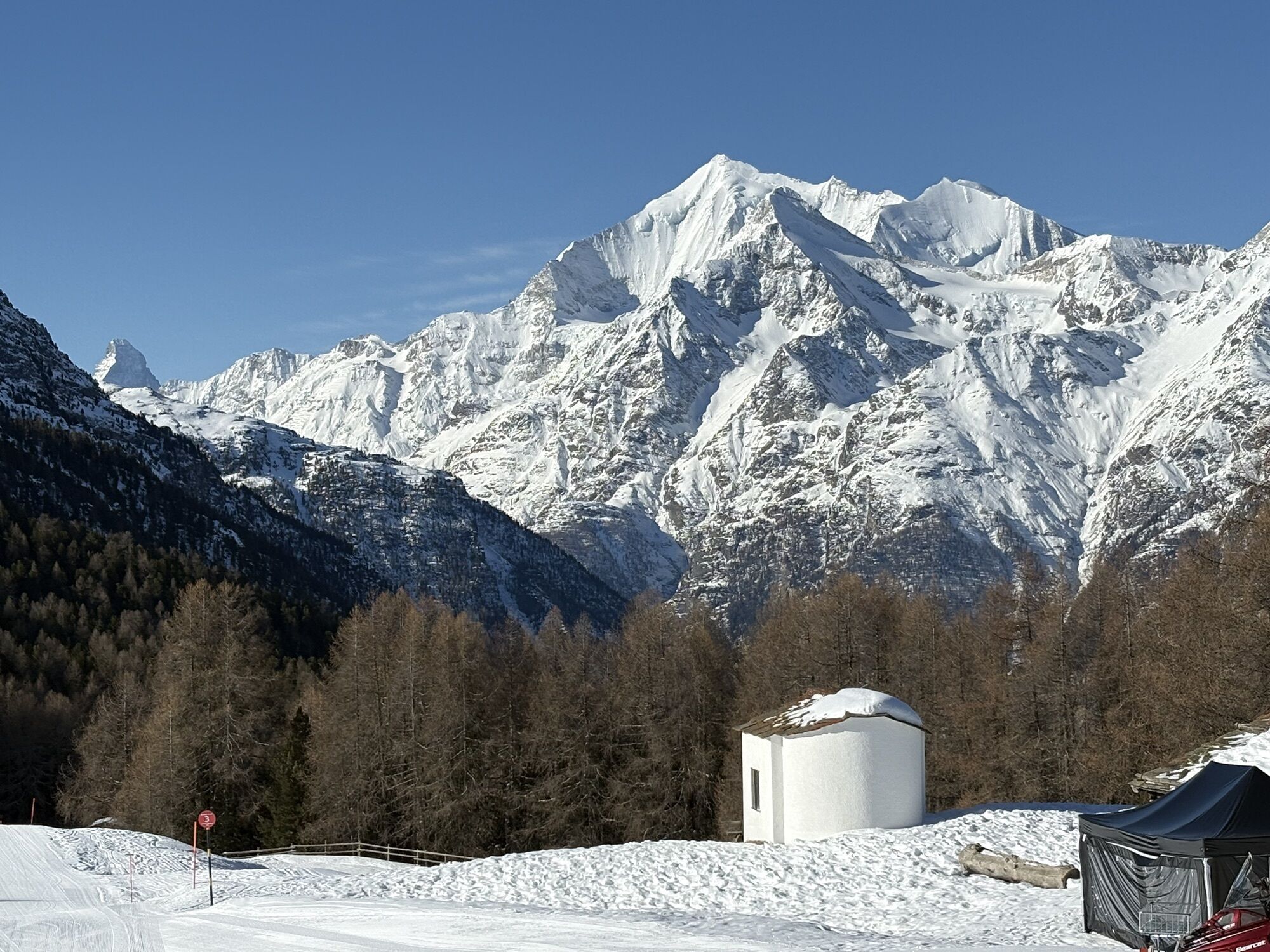
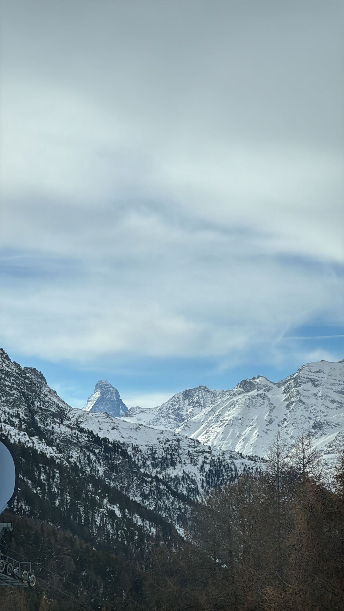
At the idyllic Alpe Äpnet above Grächen, cattle graze in summer, filling their bellies with juicy alpine grass and fresh herbs. Even though you won’t find the animals there in winter, the place is picturesque. Recharge your energy here before you set off on the Hannigalp Trail. Initially still in open terrain, it soon leads into the snow-covered larch forest. Pace yourself because after the first flat stretch, the path soon goes uphill. Naturally, your goal, Hannigalp, is situated at 2114 meters above sea level. Enjoy the tranquility and look forward to a culinary reward on the panoramic terraces right in the middle of the Hannigalp ski area. And although you spend most of the time in the forest, there are always opportunities to admire the magnificent Alpine panorama featuring the Weisshorn.

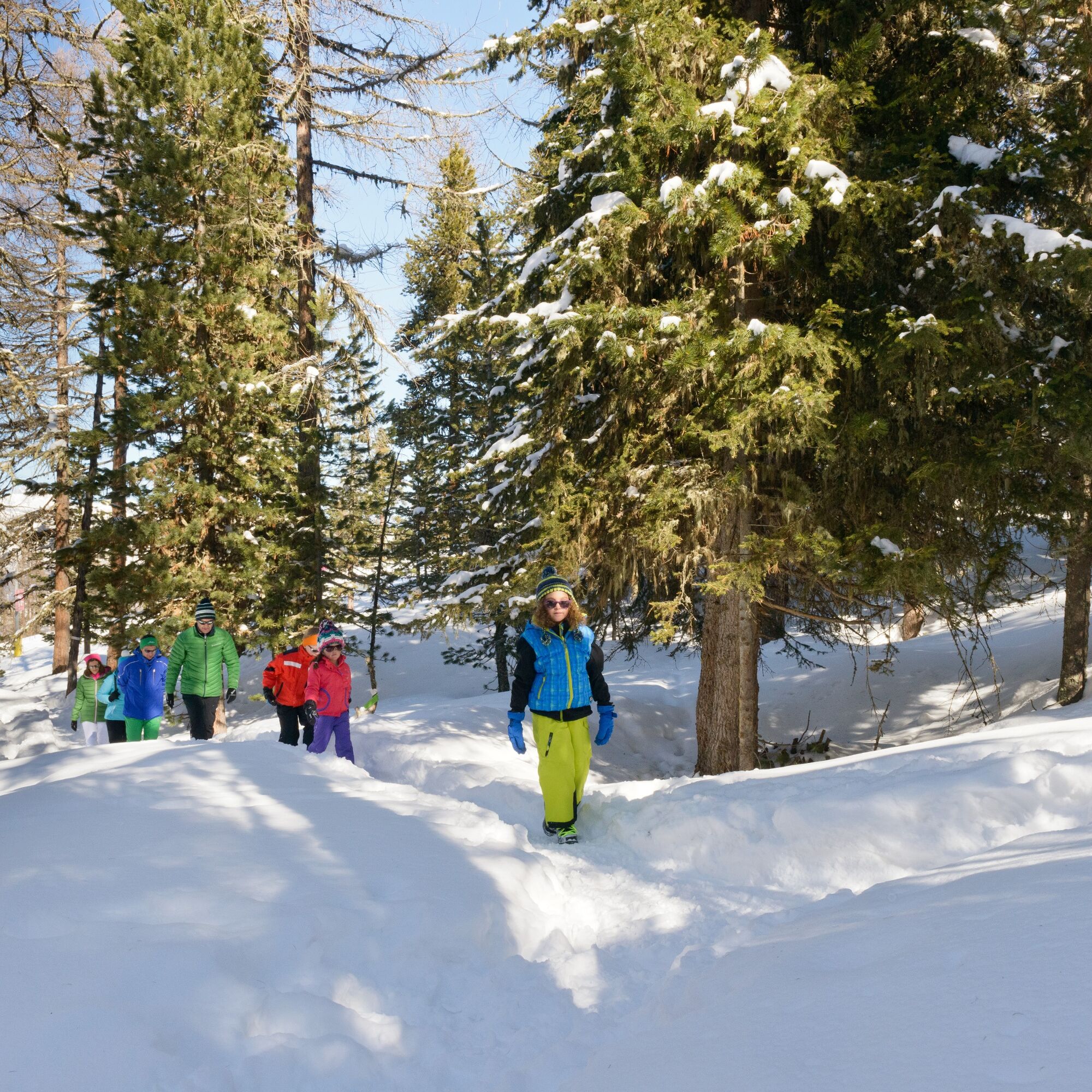
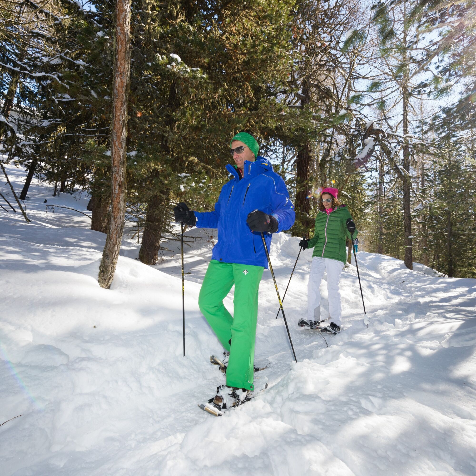
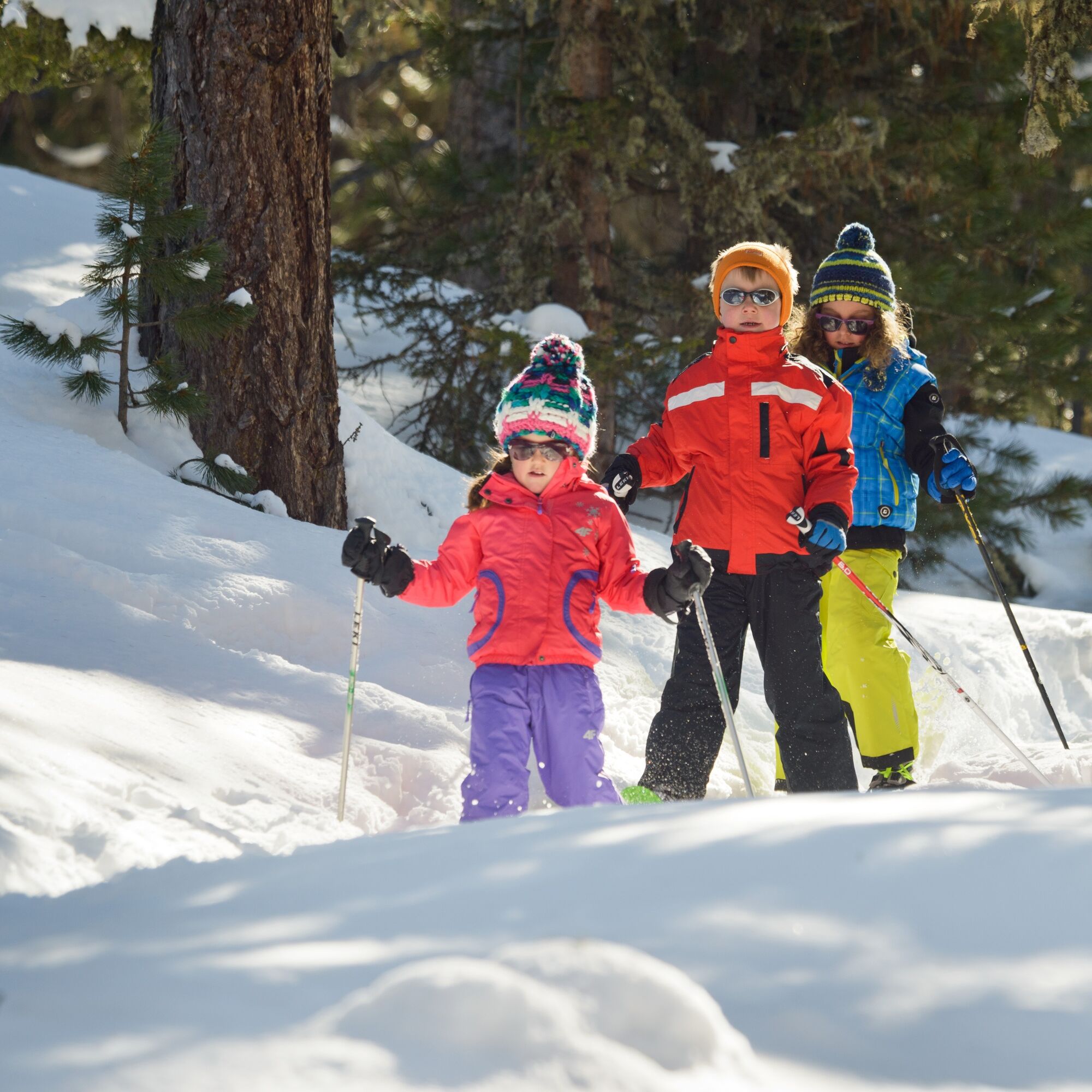

On foot, head from Grächen towards Alpe Äpnet, where you put on your snowshoes and walk along the edge of the forest across the ski slope. Shortly thereafter, you enter the romantic Grächen winter forest and wade along a path towards Hannigalp. The return route follows the same path. If you want to take it easy, you can take the Märchengondelbahn cable car back to Grächen.
Use of the snowshoe routes and information on this website is at your own risk. Conditions on site may cause changes to the route. Valais/Wallis Promotion accepts no responsibility for the accuracy or completeness of the information on this website.
Carry a map with you. Download the complete description of the hiking trail with a large-scale map by clicking “Print” at the top right of the page.
Use only marked trails and follow all signs and instructions – for your own safety, to protect grazing animals, and out of respect for wildlife.
Be considerate of other trail users and the landscape. Take your waste and that of others with you.
Bring additional sunscreen. UV rays can be especially strong at high altitudes in winter, even in cloudy weather.
Plan your hike carefully. Consider the fitness level required for all participants as well as weather forecasts and seasonal conditions.
Inform third parties about your route and, if possible, never hike alone.
Weather conditions in the mountains can change rapidly and without warning. Appropriate clothing and sufficient provisions and drinks are very important. In unstable weather, it is better to turn back early.
Do not go onto glaciers without a mountain guide.
Observe warning signs that indicate dangers, especially avalanche risk.
A9 highway towards Visp. Cantonal road towards Saas-Fee / Zermatt to the Grächen turnoff.
Accessible by train and bus. From Visp or St. Niklaus train station, take the bus to Grächen.
Grächen is partially car-free. There are two parking garages at the entrance to the village.
View this route on SwitzerlandMobility : No. 371 Alpe Äbnet–Hannigalp Trail
When it has freshly snowed, the Grächen forest shows its most beautiful side and makes this snowshoe hike a truly unique and unforgettable experience.
Webové kamery z prohlídky
Získejte přehled
Vždy živě na místě s více než 9 500 webkamerami. bergfex Jako uživatel Pro si nyní můžete zobrazit odpovídající webové kamery pro mnoho prohlídek v aplikaci prohlídky z. Můžete si tak přímo prohlédnout aktuální podmínky.
Oblíbené prohlídky v okolí
-
4.9
Moosalp Panoramaweg
světloTuristika 6.36 km -
3.6
Höhenweg Kreuzboden - Almagelleralp - Saas-Almagell
Turistika 9.74 km -
3.3
Europaweg Grächen - Europahütte - Zermatt
heavyTuristika 39.9 km -
3.5
Waldweg Saas-Fee - Saas-Almagell
Turistika 2.83 km -
4.7
Weissmies Südgrat von Saas Almagell
středníVysokohorská turistika 20.5 km -
4.8
Marmot mountain path Spielboden
středníTuristika 3.89 km -
5.0
Via ferrata Jägihorn
heavyVia ferrata 6.14 km -
3.8
Höhenweg Saas-Fee - Grächen
Turistika 12.0 km -
4.5
Ibex path
středníTuristika 9.02 km -
5.0
Mountain trail Kreuzboden - Hohsaas
středníTuristika 4.65 km
Pěší turistika a stopování


Nenechte si ujít nabídky a inspiraci pro vaši příští dovolenou
Vaše e-mailová adresa byl přidán do poštovního seznamu.





