


Grimsel - Mythical Alpine passes
Úroveň obtížnosti: 3
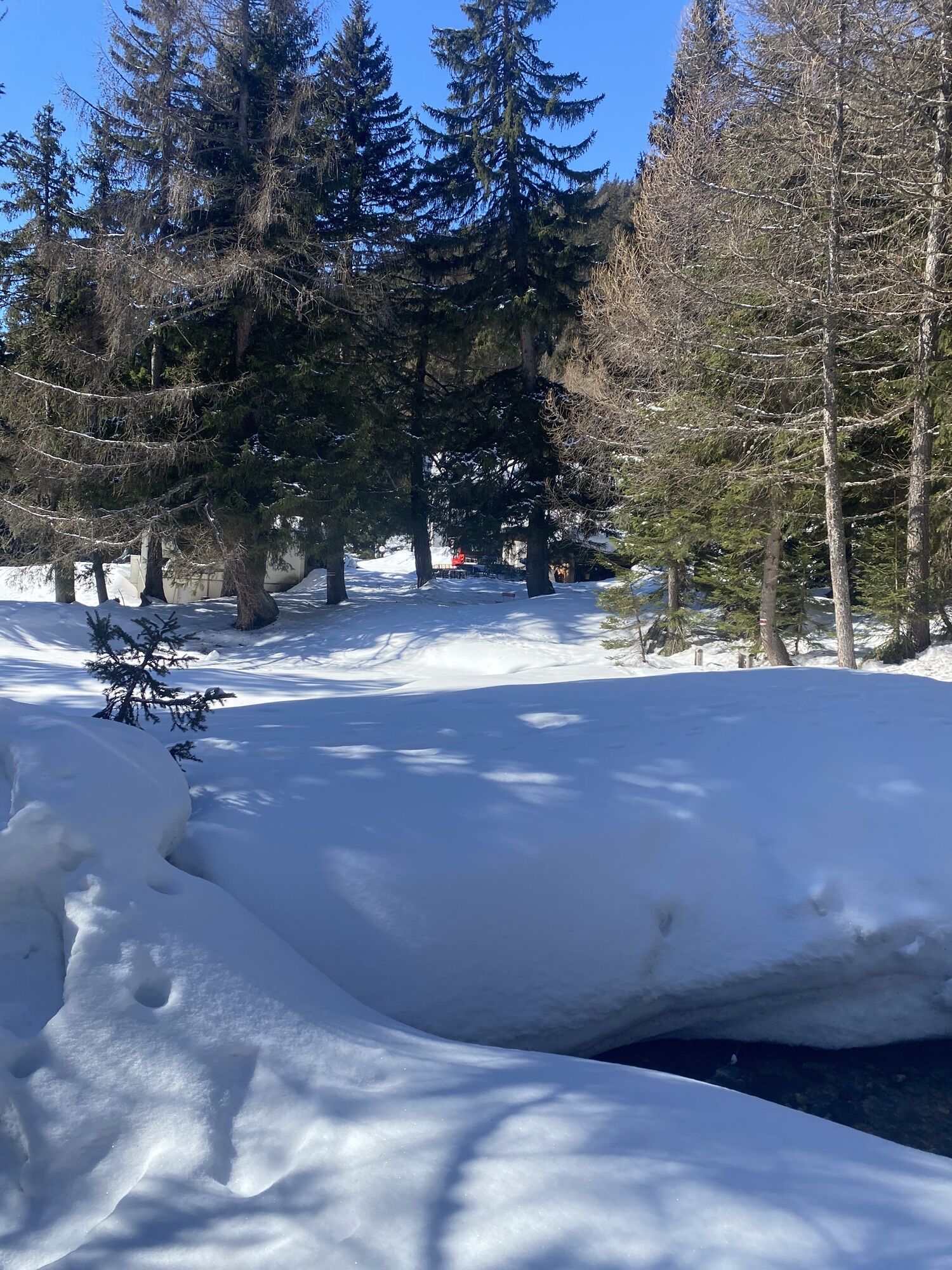
From Oberwald, the road leads up into a pine forest, while lower down the still young Rhone can be seen. You reach the small village of Gletsch, where the road divides between the Furka Pass on the right...
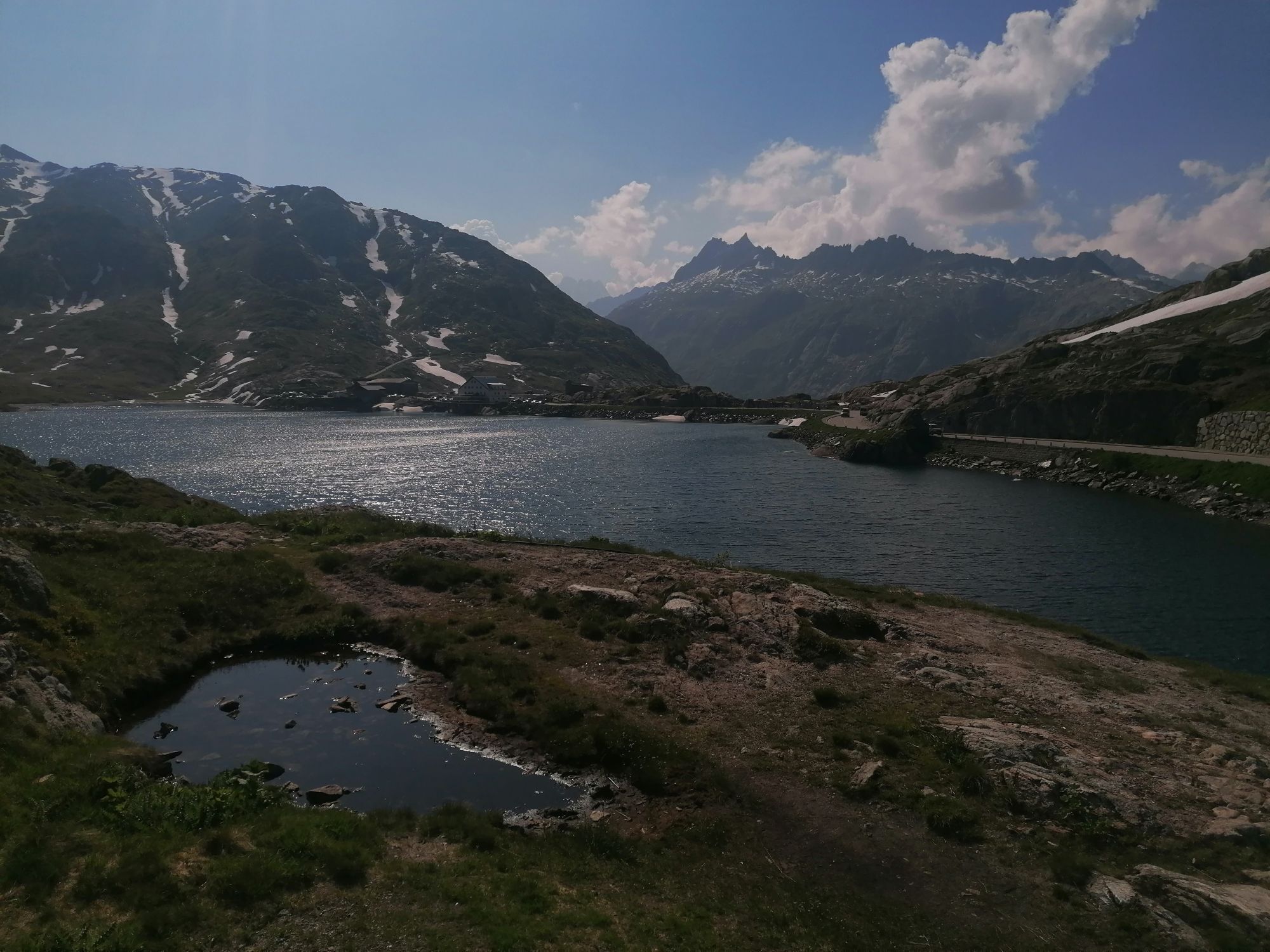
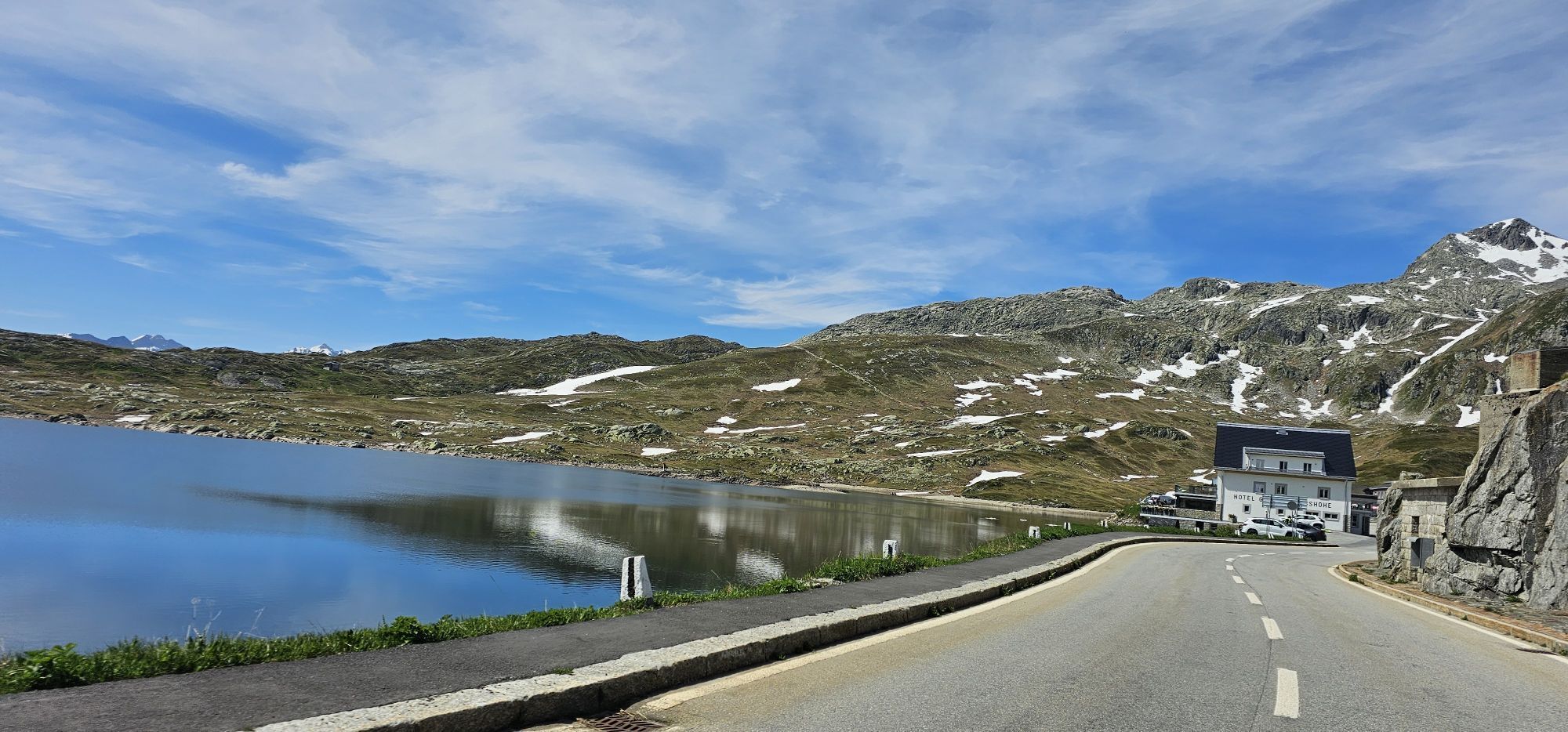
From Oberwald, the road leads up into a pine forest, while lower down the still young Rhone can be seen. You reach the small village of Gletsch, where the road divides between the Furka Pass on the right and the Grimsel Pass on the left. The following kilometers offer an open view and a spectacular view of the Rhone Glacier, where the river of the same name also has its source. At the summit is a small alpine lake reflecting the neighboring mountains, and a wonderful panorama of the Bernese Alps opens up.

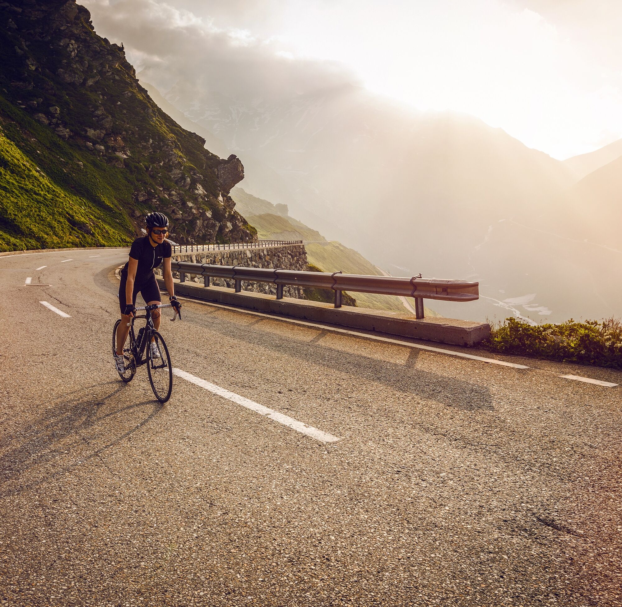
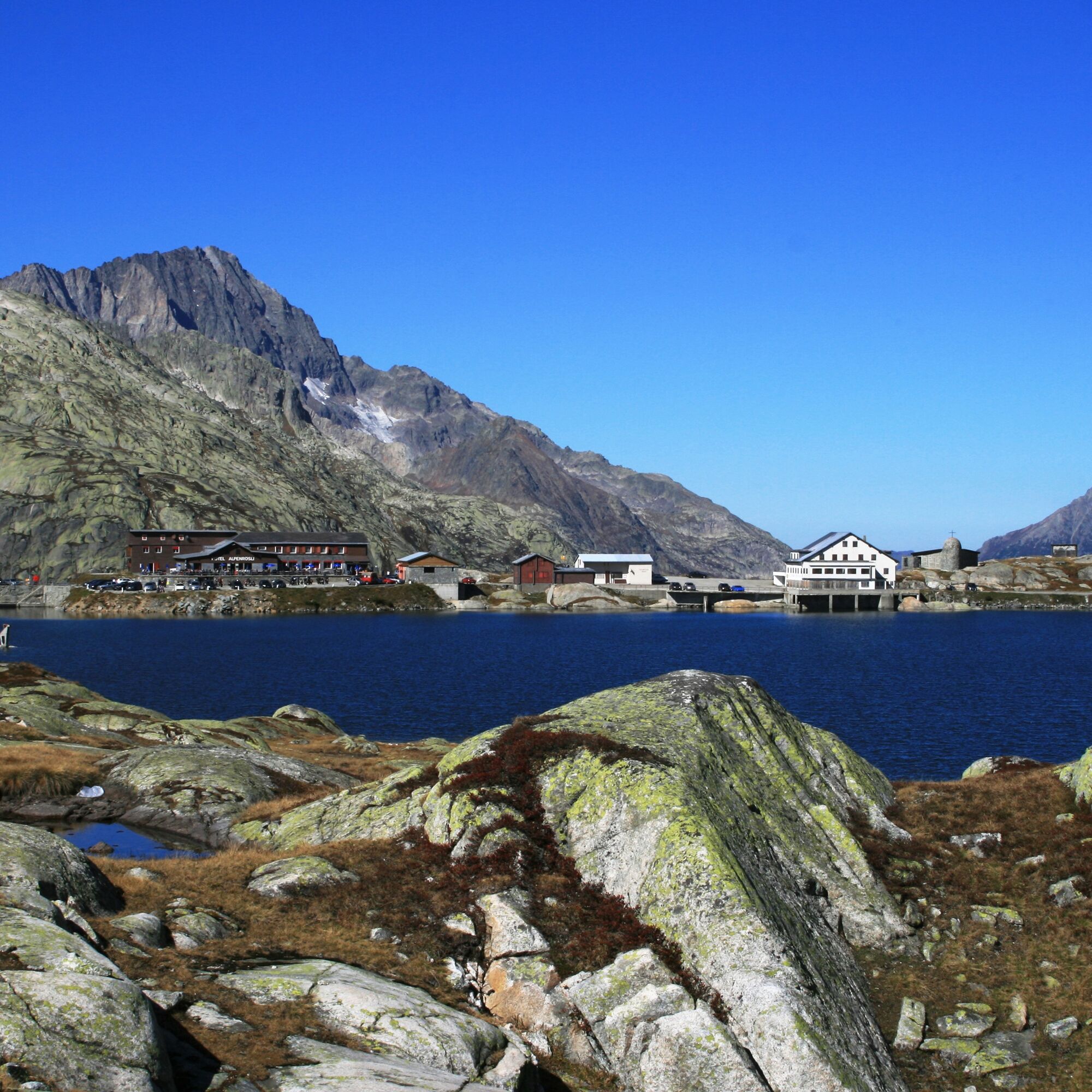
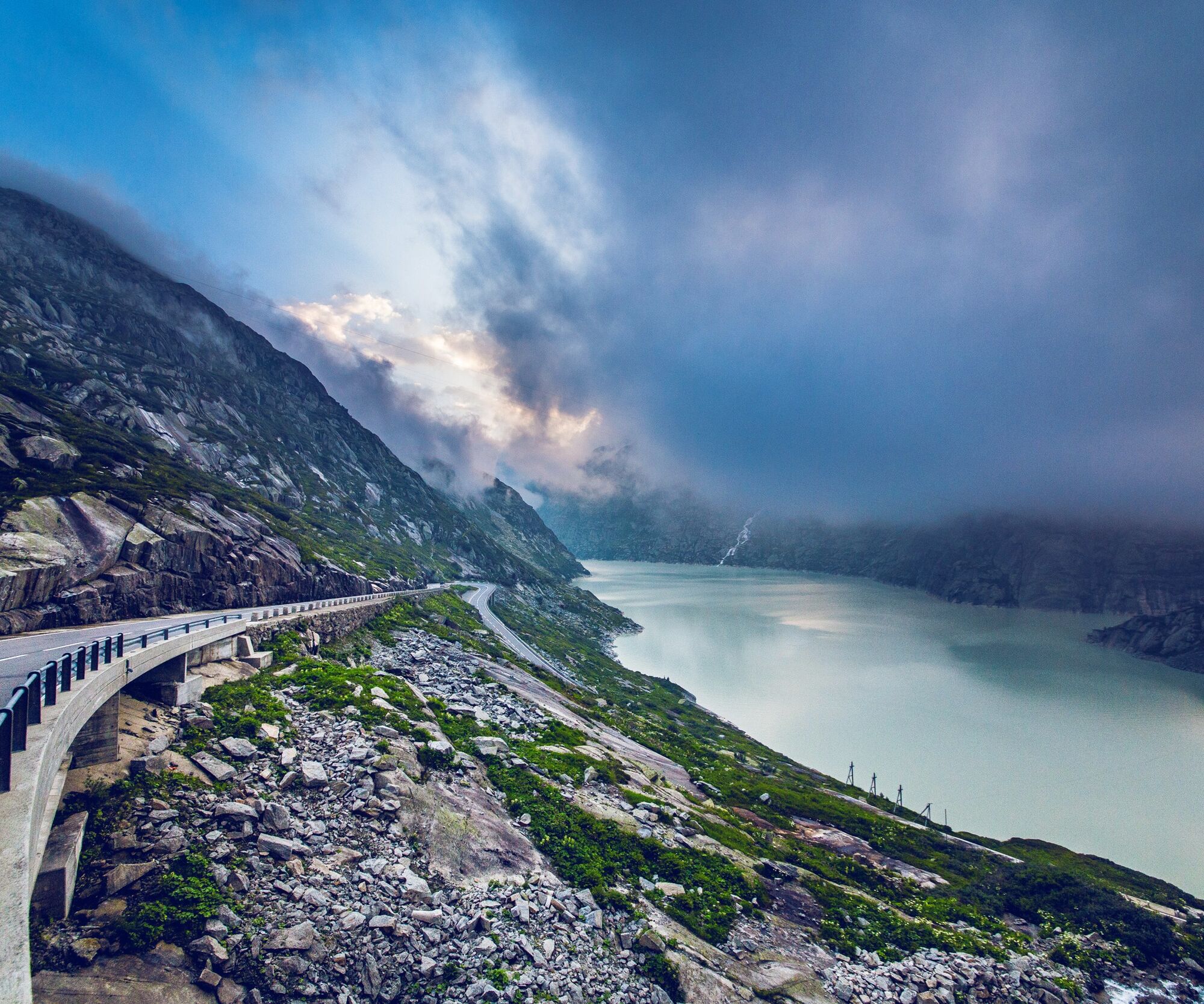
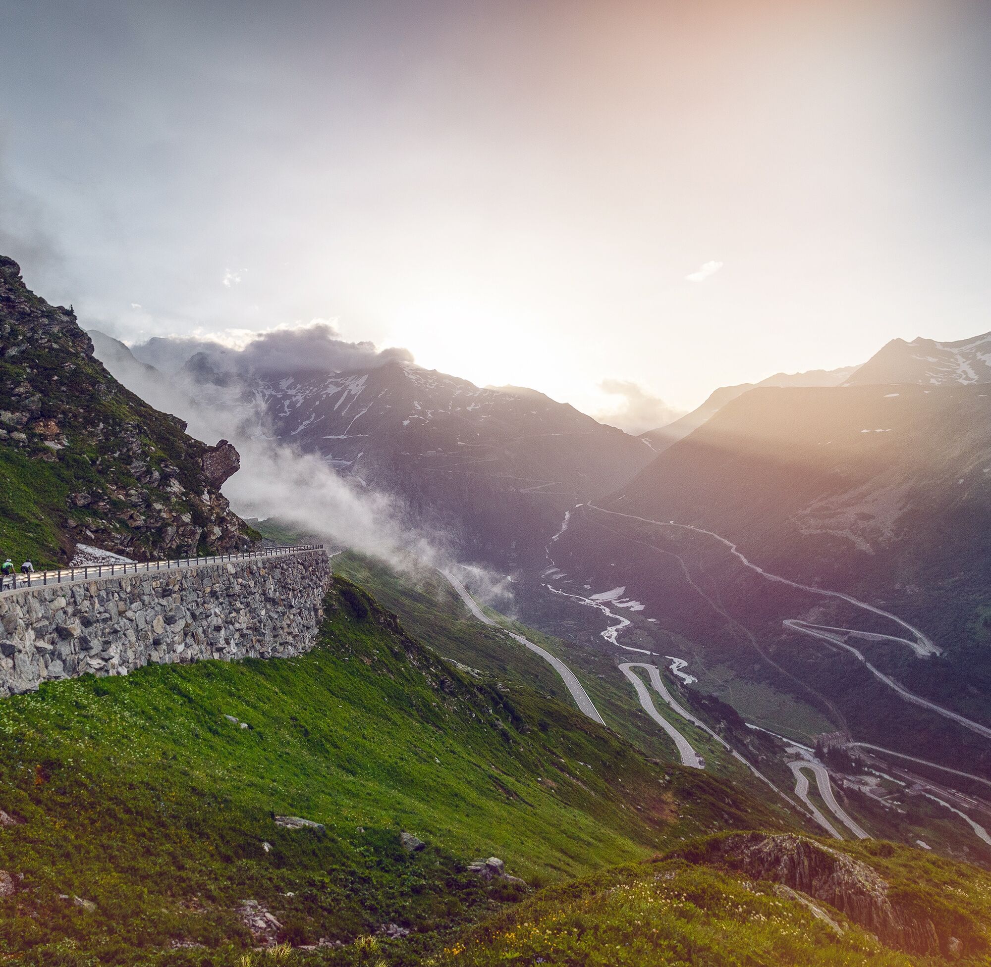
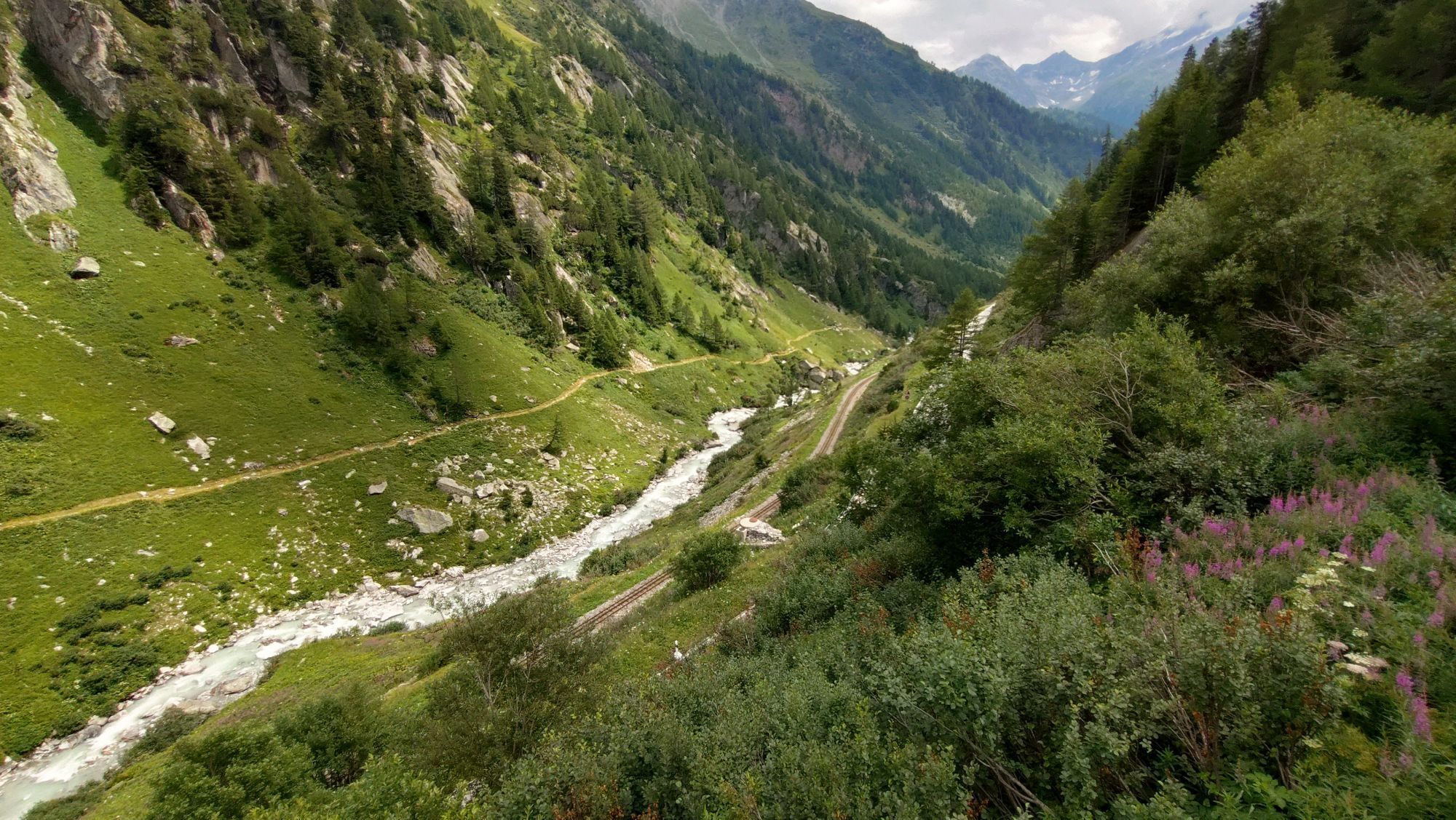
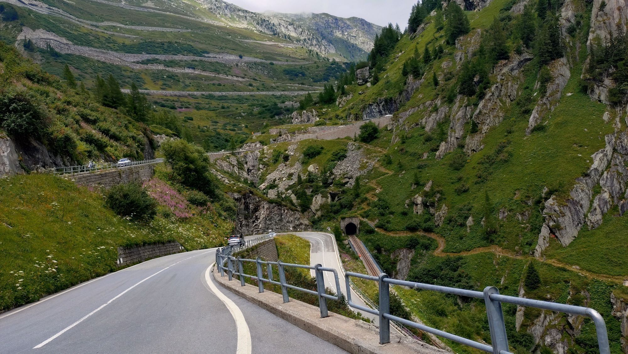
The Grimsel Pass is one of the Alpine giants with more than 2000 meters of elevation. The route from Oberwald to Gletsch is easy to manage as the incline is relatively gentle. A small cog railway runs below the road up to the junction that leads to the Furka Pass. From Gletsch, straight sections follow, arranged in a zigzag pattern. The air slowly becomes thinner as the altitude makes itself felt. The summit reveals a view of the peaks of Valais and Bern, and Gletsch seems to lie many kilometers far below! A park with marmots makes the restaurant on the pass a very sociable place.
Ano
Our recommendation: Technically flawless bicycle, helmet, gloves and bell, clothing suitable for the weather (always bring rain protection), drink and food.
Respect the rules of Swiss road traffic. Riding this route is at your own risk, any liability is excluded. Respect the flora and fauna in your surroundings. For your safety, we recommend wearing a bicycle helmet. Emergency numbers: 144 ambulance / 117 police / 1414 Rega. Assess your own abilities and fitness well. Riding the different routes is fundamentally at your own responsibility.
From Brig, follow cantonal road 19 (Furka road) for 40 km to Oberwald.
Regular train connections with the SBB from all over Switzerland to Brig. Then regional train of the Matterhorn Gotthard Bahn or bus connection to Oberwald.
Parking available at the Oberwald train station. Follow the local parking guidance system in Oberwald.
3
More information:
ObergomsThe route offers excellent views of the last part of the ascent.
Oblíbené prohlídky v okolí
- 5.0
Circular hike from Grimsel Pass - Sidelhorn via Jostsee
středníTuristika 8.47 km - 4.5
Lakes Orsino, Orsirora and Valletta Route
Turistika 12.8 km - 5.0
9 lake-trail
heavyTuristika 17.3 km Furka Pass – Rhone Glacier
světloTuristika 3.59 km- 5.0
Gelmersee-Tour
světloTuristika 9.03 km - 4.0
Capanna Piansecco
světloSněžnice 7.26 km - 5.0
Um den Gelmersee zur Gelmerhütte
středníTuristika 9.30 km von Albert-Heim-Hütte via Nepali Highway und Sidelenhütte nach Furkapass
heavydálková pěší trasa 8.40 km- 5.0
Toce Waterfall - Riale - San Giacomo Pass road
středníTuristika 10.9 km - 5.0
Sidelenhütte
světloTuristika 3.39 km
Pěší turistika a stopování


Nenechte si ujít nabídky a inspiraci pro vaši příští dovolenou
Vaše e-mailová adresa byl přidán do poštovního seznamu.