






Col du Lein (Saxon) – Mythical Alpine passes
Úroveň obtížnosti: 5
From Saxon, the first hairpin bends of the road wind through green meadows and sun-drenched apple and apricot plantations. In the first kilometers, the route follows the course of the Torrent des Croix...
From Saxon, the first hairpin bends of the road wind through green meadows and sun-drenched apple and apricot plantations. In the first kilometers, the route follows the course of the Torrent des Croix and passes through the hamlets of Sapinhaut and L'Arbarey before winding through the mountain pastures in numerous bends. The view over central Valais widens with every meter of altitude gain and reveals a panorama stretching from Martigny to Sion. The closer the pass height comes, the more massive and impressive the dominant Pierre Avoi comes into focus. The last few hundred meters lead over a paved gravel road to the forests of the Val de Bagnes. The final part of the ascent is full of surprises, as here you ride for a short distance on an unpaved road. This charming route is therefore an absolute must!

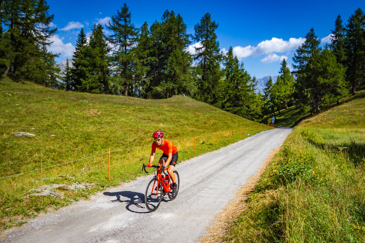
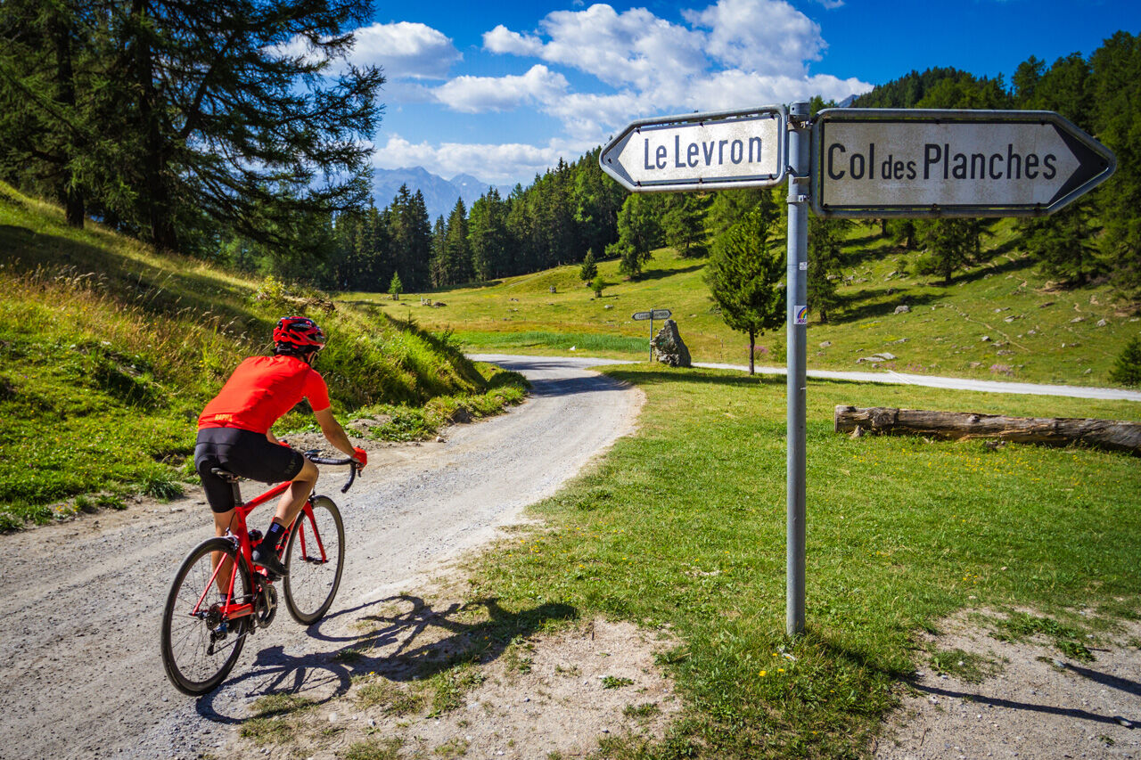

The route starts at the information point near the church in the center of Saxon. Four signs of the Valais cycling route markings guide you along the ascent and inform you of your progress as you pass through the hamlets of Sapinhaut and Arbarey. The last 700 meters of the route are unpaved but passable with a road bike.
Our recommendation: technically flawless bike, helmet, gloves and bell, appropriate clothing depending on the weather (always bring rain protection), drink and provisions.
Respect the rules of Swiss road traffic. Riding this route is at your own risk, any liability is excluded. Respect the flora and fauna in your surroundings. For your safety, we recommend wearing a bicycle helmet. Emergency numbers: 144 ambulance / 117 police / 1414 Rega. Assess your own skills and fitness well. Riding the various routes is always at your own responsibility.
From Lausanne/Martigny: Motorway A9 to exit 23 Saxon. Then via Route du Léman to Saxon.
From Sion/Brig: Motorway A9 to exit 24 Riddes. Then via the cantonal road to Saxon.
Regional trains on the Simplon line to Saxon.
Parking in the village of Saxon. Follow the local parking guidance system.
5
Further information:
SaxonFrom the Col du Lein pass height, you can reach Martigny again via the panoramic road that connects the passes Col du Lein, Col du Tronc and Col des Planches, followed by a descent.
Získejte přehled
Vždy živě na místě s více než 9 500 webkamerami. bergfex Jako uživatel Pro si nyní můžete zobrazit odpovídající webové kamery pro mnoho prohlídek v aplikaci prohlídky z. Můžete si tak přímo prohlédnout aktuální podmínky.
Oblíbené prohlídky v okolí
-
5.0
From Saillon to the Farinet suspension bridge
středníTuristika 7.86 km -
From Savoleyres to the mountain lake Lac des Vaux
středníTuristika 14.0 km -
4.5
Cleuson Dam
středníTuristika 11.5 km -
Tour du Grand Chavalard
středníTuristika 14.9 km -
4.5
The Larches of Balavaux
světloTuristika 11.0 km -
5.0
Tour de La Seya hike
středníTuristika 8.09 km -
4.0
Sentier des Chamois
heavyTuristika 11.6 km -
Via Farinetta
heavyVia ferrata 6.41 km -
3.5
The Ahornweg « La Voie des Erables »
heavyTuristika 9.66 km -
4.5
Vineyard terrace hike in Martigny
světloTuristika 6.36 km
Pěší turistika a stopování


Nenechte si ujít nabídky a inspiraci pro vaši příští dovolenou
Vaše e-mailová adresa byl přidán do poštovního seznamu.





