







Emosson - Dam Trophy

Úroveň obtížnosti: 4
This ascent of more than 30 kilometers starting in the city of Martigny will reward you with a fascinating, varied panoramic view. You pass through the vineyard area before reaching a larch forest at the...
This ascent of more than 30 kilometers starting in the city of Martigny will reward you with a fascinating, varied panoramic view. You pass through the vineyard area before reaching a larch forest at the summit of the Col de la Forclaz. After a short descent through the municipality of Trient, you turn right and start the second ascent, which gradually offers a unique view of the majestic mountain backdrop of the major Alpine passes. Take the opportunity to refresh and strengthen yourself in the village of Finhaut before tackling the last, most strenuous part of the ascent to the Emosson dam.


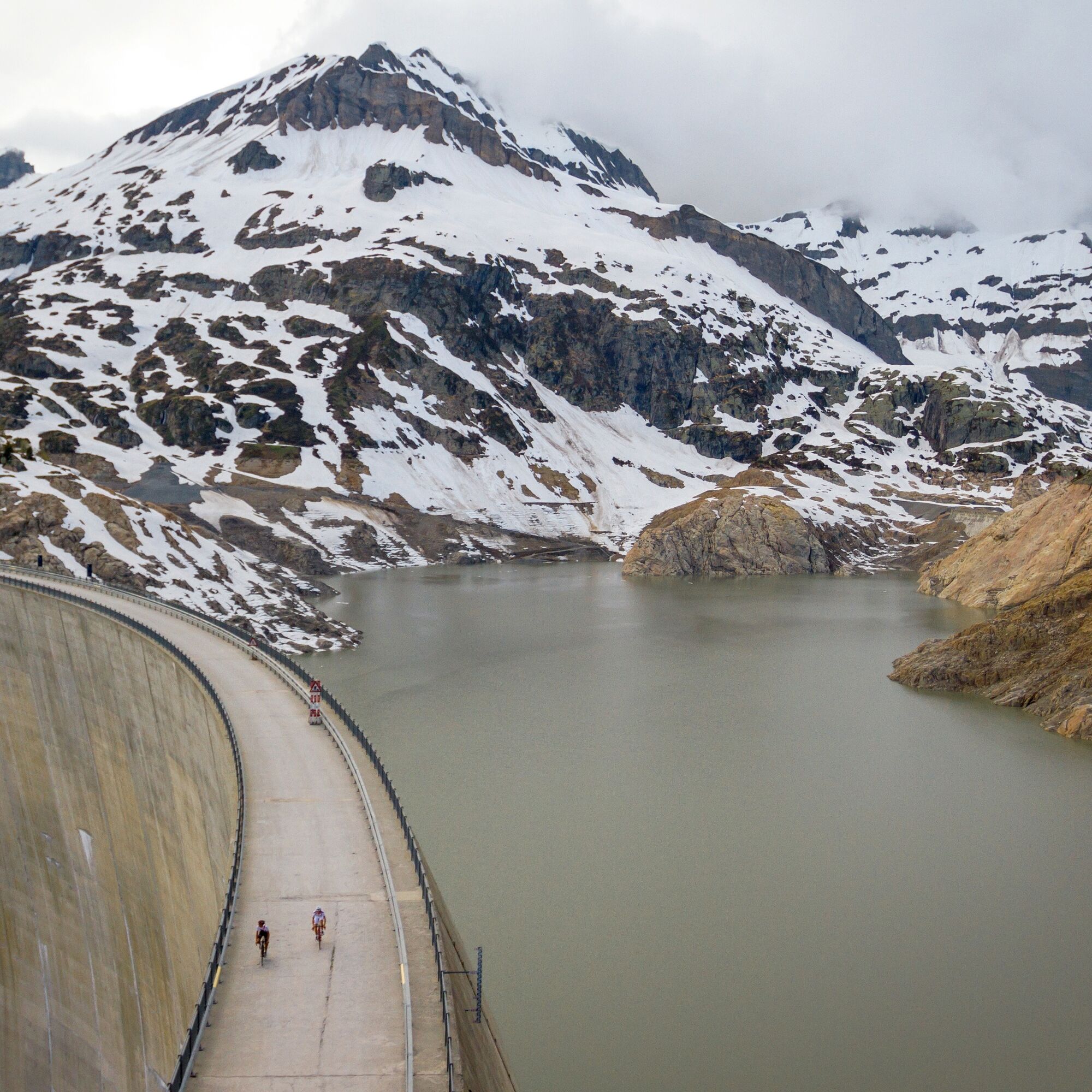


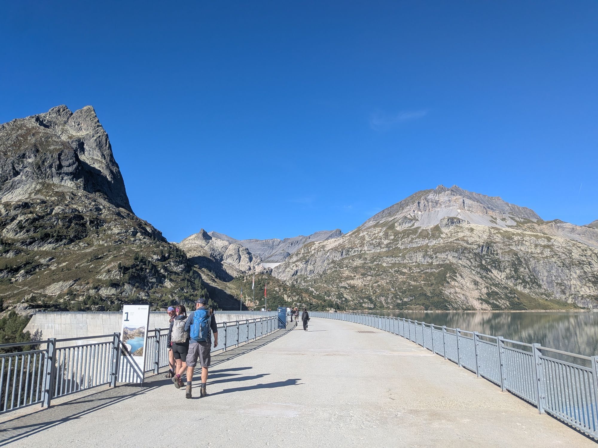
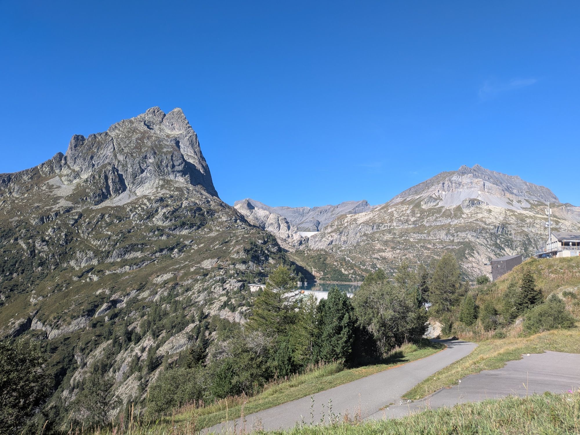
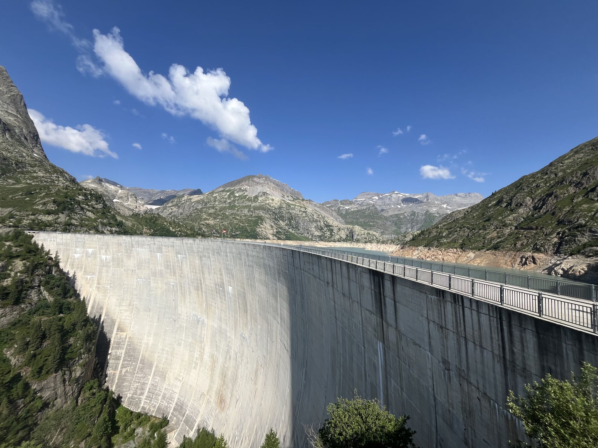
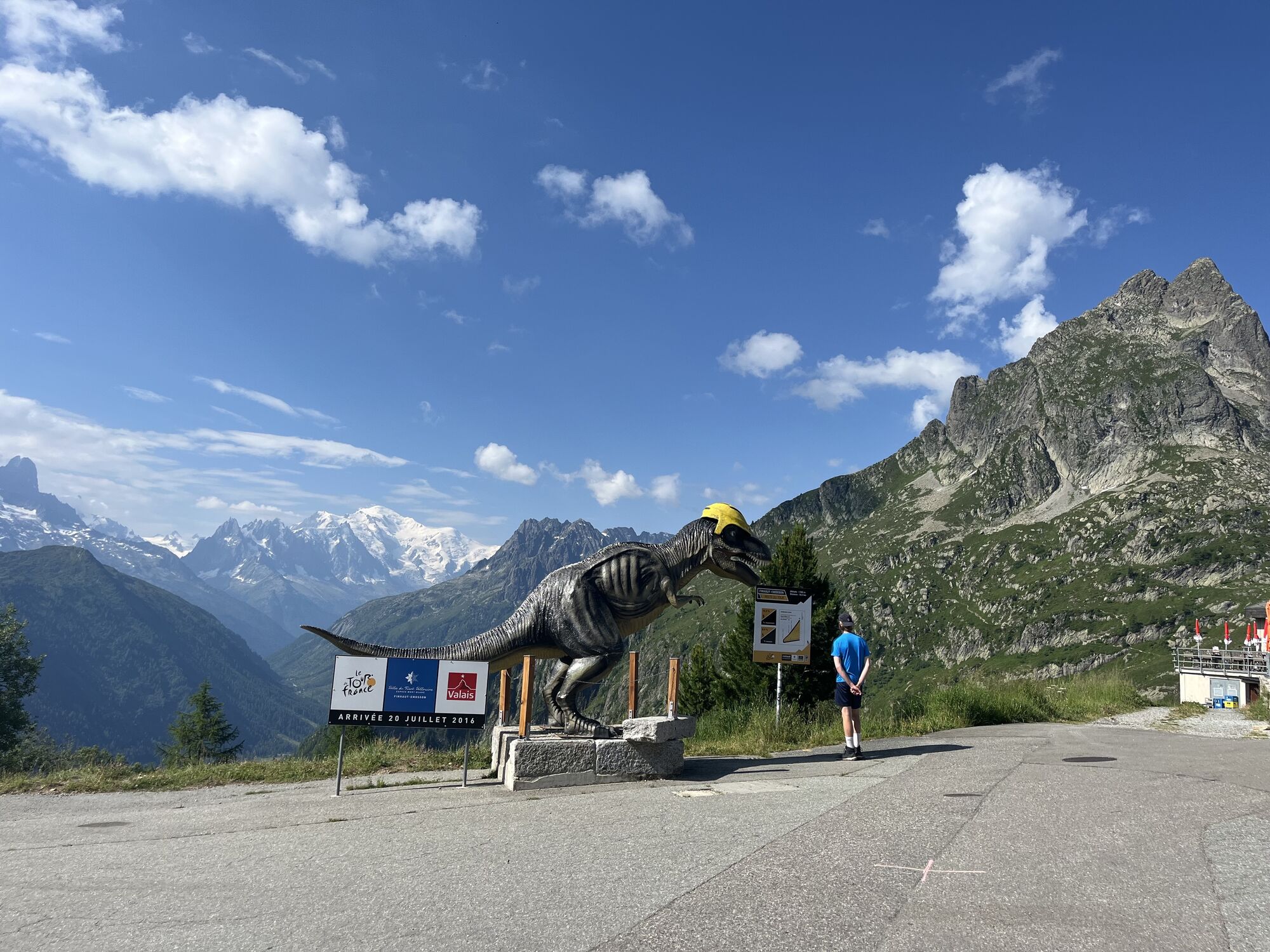
From the very first meters, you cross a beautiful terraced vineyard, and the view of the gradually shrinking Martigny gives you the good feeling of having overcome a proud altitude difference. One last look at the Rhone Valley, then you cross the Col de la Forclaz (1528 m). Feel free to take a break for a delicious fruit tart at the Hotel Col de la Forclaz because the path is still long! After this well-deserved pause, you descend into the village of Trient before turning right and tackling the second ascent, which leads through the village of Finhaut. With every meter of altitude gained, an increasingly untouched, fairytale landscape reveals itself! The dam remains hidden until the very last moment. Only after crossing the Col de la Gueulaz (1965 m) does it reveal itself in full size, and you will be royally rewarded for your efforts: with views of Mont Blanc, the Aiguilles du Tour, and the mighty dam! Built from 1969 to 1975, this dam is the second largest in Switzerland and the third highest in the canton of Valais. In spring, if you're lucky, you can still see the remains of the old Barberine dam rising from the back of the lake from the dam crest. This valley dam, built in 1925, was itself a victim of the floods following the construction of the new Emosson dam.
Ano
Our recommendation: technically flawless bicycle, helmet, gloves, and bell, weather-appropriate clothing (always have rain protection), drink and provisions.
Respect the rules of Swiss road traffic. Riding this route is at your own risk; any liability is excluded. Respect the flora and fauna in your surroundings. For your safety, we recommend wearing a bicycle helmet. Emergency numbers: 144 ambulance / 117 police / 1414 Rega. Assess your own abilities and fitness well. Riding the various routes is always at your own responsibility.
Take the A9 motorway from Lausanne or Sierre, exit Martigny-Fully E27 (no. 21) or via the cantonal road. At the roundabout, follow the signs towards Col de la Forclaz / Chamonix (France).
You can reach Martigny regularly with the SBB from all Swiss cities. Regional trains (Mont-Blanc & St-Bernard Express line) also run to Martigny.
Follow the parking guidance system in Martigny.
4
Find further information about the destinations here:
Martigny Trient Valley Finhaut Visiting the Valais damsThis route is especially recommended in autumn as the trees and plants turn orange and red, offering a true spectacle of colors!
Webové kamery z prohlídky

Oblíbené prohlídky v okolí
-
5.0
Huts of Orny and Trient
heavyTuristika 13.4 km -
5.0
Sentier de Salanfe
středníTuristika 12.8 km -
4.0
Lac d'Emosson - Gorge de la Veudale - Col de la Terrasse - Lac du Vieux Emosson zurück nach Lac d'Emosson
středníTuristika 14.3 km -
Tour du Grand Chavalard
středníTuristika 14.9 km -
4.0
Chamonix-Mont-Blanc, Auvergne-Rhône-Alpes/France // B/C
středníVia ferrata 2.59 km -
4.2
Super mooi
heavyTuristika 11.1 km -
4.5
Vineyard terrace hike in Martigny
světloTuristika 6.36 km -
Champéry - Seen von Antème
Turistika 14.8 km -
4.0
Circular hike to the Lacs d’Antème
heavyTuristika 16.3 km -
4.0
Six blanc depuis Cabine
středníLyžařská trasa 5.85 km
Pěší turistika a stopování


Nenechte si ujít nabídky a inspiraci pro vaši příští dovolenou
Vaše e-mailová adresa byl přidán do poštovního seznamu.





