


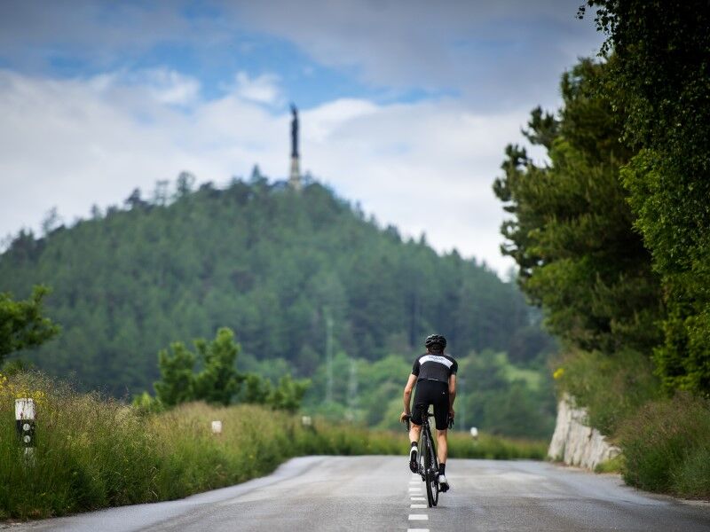
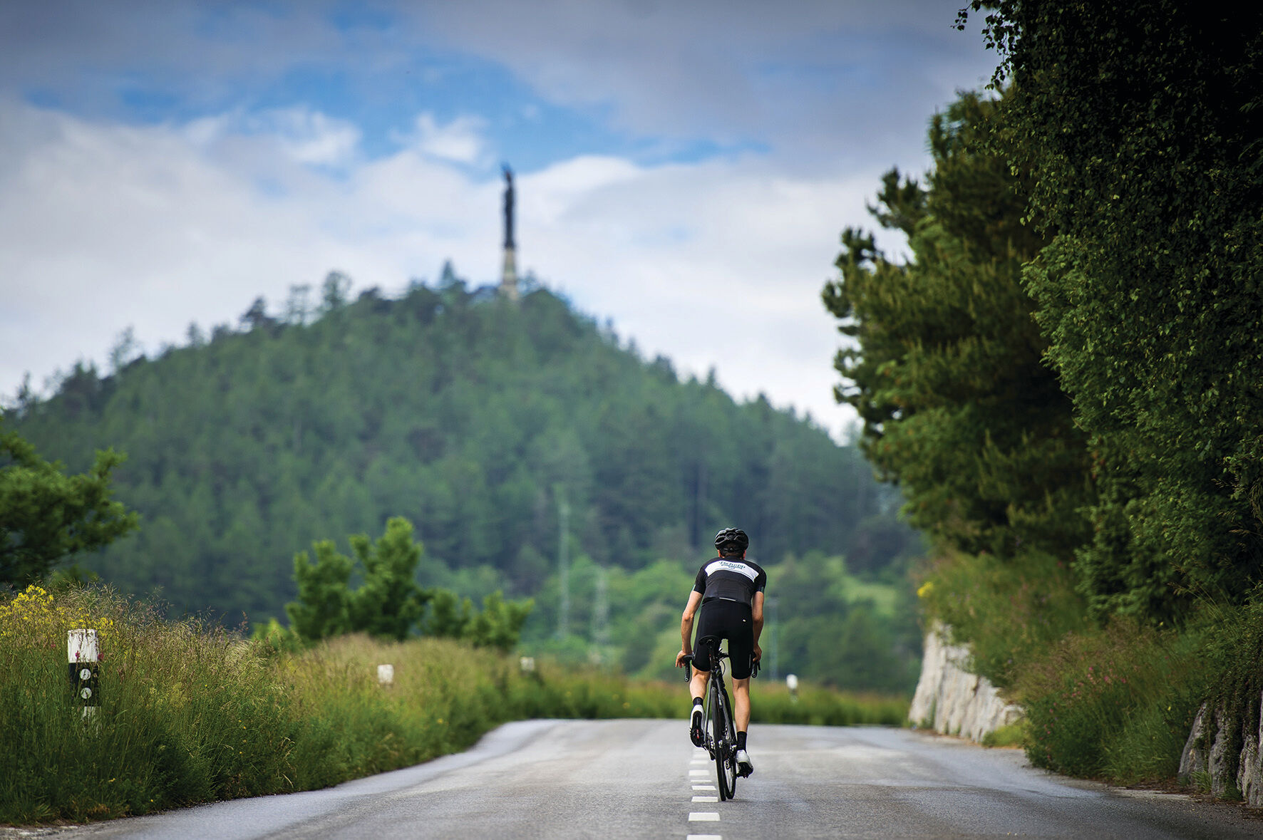
Steve Morabito Climb
The route is 17.7 kilometres long with a total elevation gain of more than 1,000 metres. The climb, in regular steps, first consists of a series of hairpin bends in the vineyard. The road then passes close...
The route is 17.7 kilometres long with a total elevation gain of more than 1,000 metres. The climb, in regular steps, first consists of a series of hairpin bends in the vineyard. The road then passes close to the "Bisse du Sillonin" and the "Grand Bisse de Lens" before winding through the meadows up to the entrance to the village of Lens. A relatively flat section takes the cyclist through the village of Lens and a short descent leads to the Chermignon roundabout. The rest continues on a magnificent road with a slight downhill slope passing next to the village of Montana. Before reaching Bluche, there is a last flattening leading to the final climb to Crans-Montana.
Departure from Granges at Avenue de la Gare - Vaas - Flanthey - Chelin - Lens - Chermignon-d'en-Haut - Montana Village - Bluche - Montana Gare - Arrival at Montana Ycoor at Rue Louis Antille
The entry onto "Route de la Crête-Blanche" from "Route de la Rêche" will be after a "Yield" sign with sufficient visibility to enter a road with a speed limit of 50 km/h. After crossing the "Route de la Crête-Blanche" bridge, the cyclist will join the "Route Cantonale de Corin" before turning left onto "Route de Granges." Here, the speed is limited and visibility is sufficient to allow "cyclo-sportifs" to access safely.
To reach Granges by car, take the A9 motorway (Rhône motorway) exit called "Sierre west." At the motorway exit, turn left and follow the signs indicating "Sierre." At the third roundabout, take the third exit towards Sion. Continue for 5 km then take the right turn towards Granges and cross the bridge.
The town of Sion is accessible by SBB trains. From Sion station, take the post buses towards Sierre to the stop closest to the start: Granges, Grand Canal.
This route is intended for "cyclo-sportifs"
This route can be taken in both directions.
For any other information: www.crans-montana.ch/bike
The start and finish of this route are not located in Crans-Montana. It was conceived from the "Route du Rhône", the national route no. 1, which is the backbone of the cycling routes in Valais.
It is actually a stepped climb between Granges and Crans-Montana. Being one of Steve Morabito's favourite climbs that he very often uses in training, this timed ascent is called the "Steve Morabito Climb".
Oblíbené prohlídky v okolí
-
5.0
Bella-Tola
středníVysokohorská turistika 6.72 km -
4.0
Grand Bisse de Lens
světloTuristika 8.73 km -
4.0
Tripon - Brac – Ancien Bisse du Torrent Neuf – St. Marguerite – Torrent Neuf – Prafirmin - St. Germain
světloTuristika 12.9 km -
4.0
Belvédère via ferrata
středníVia ferrata 1.81 km -
5.0
Wildstrubel Umrundung 4-Tage
středníTuristika 79.1 km -
Grand bisse d’Ayent
středníTuristika 11.7 km -
4.5
Sentier viticole / Wine trail
světloTuristika 7.49 km -
Bisse du Tsittoret
středníTuristika 10.6 km -
5.0
Wine route: Venthône – Leuk (Stage 4)
středníTuristika 12.8 km -
5.0
Mayentset Bike
středníMountainbike 21.6 km
Pěší turistika a stopování


Nenechte si ujít nabídky a inspiraci pro vaši příští dovolenou
Vaše e-mailová adresa byl přidán do poštovního seznamu.