







Cycling pleasure on the Rottenweg

Úroveň obtížnosti: 2
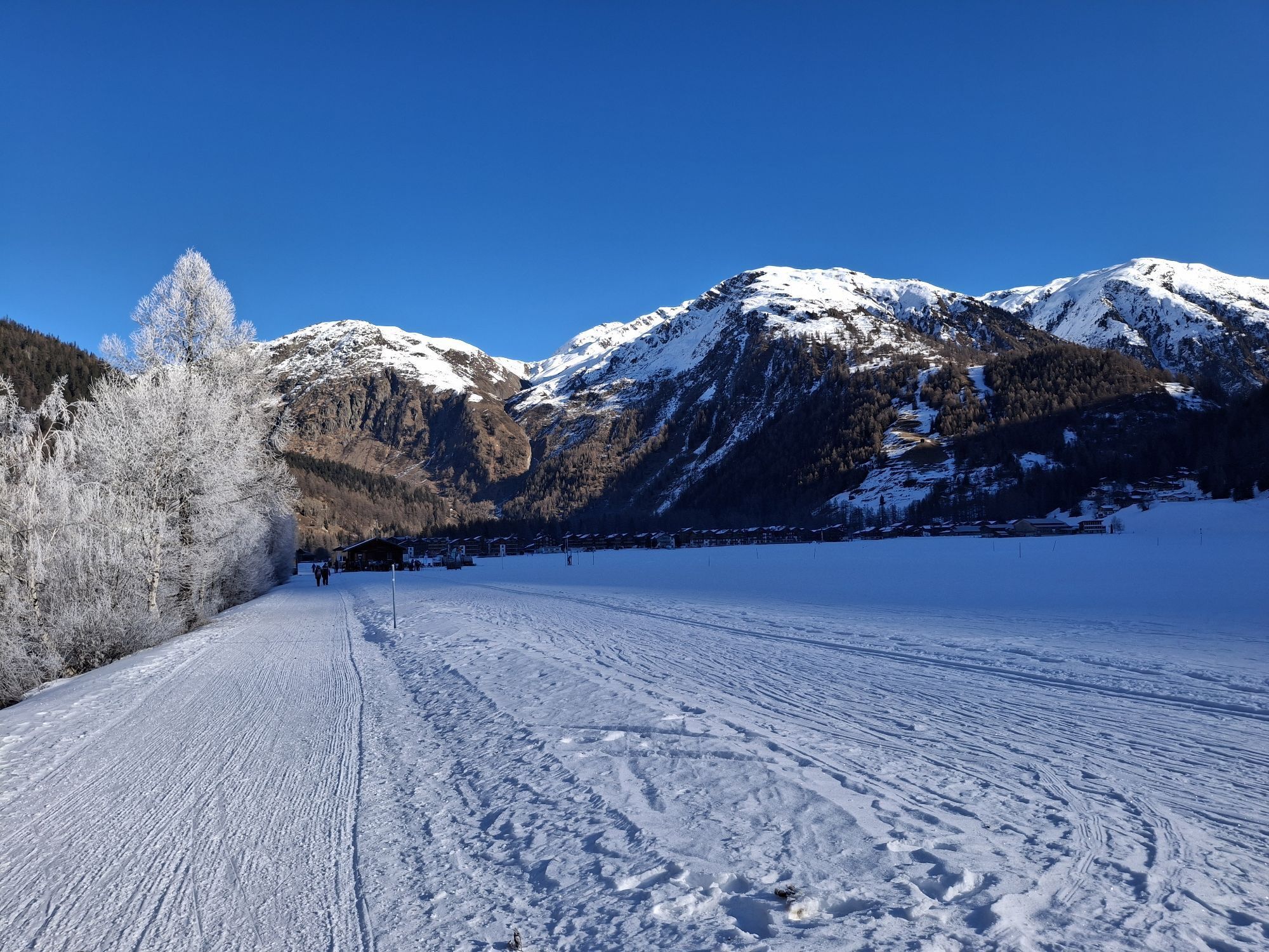
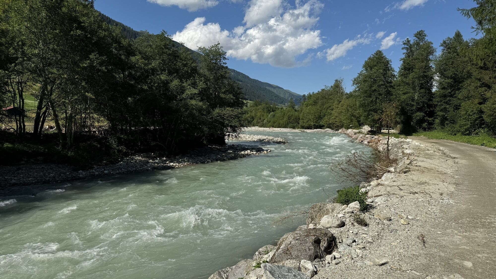
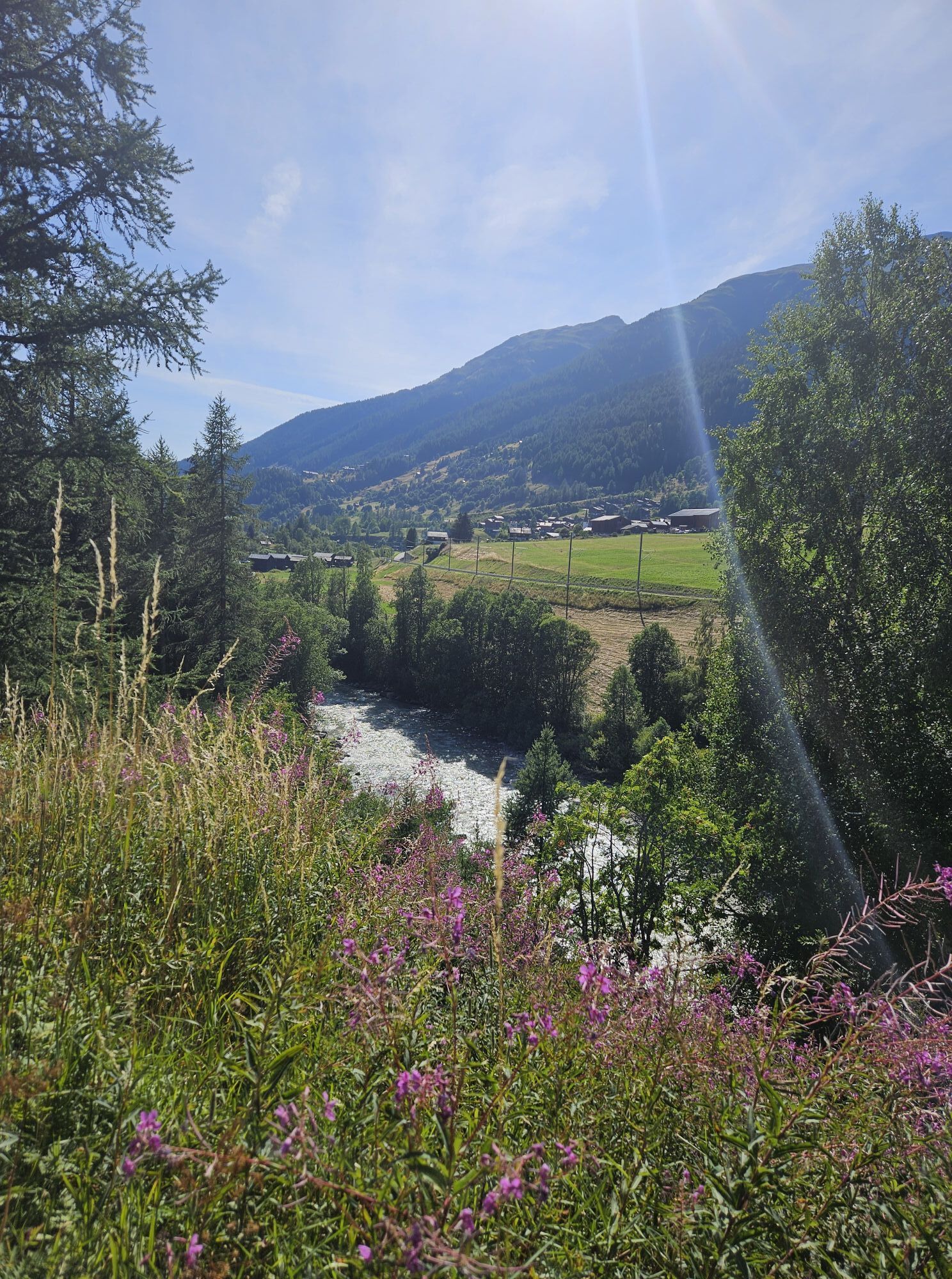
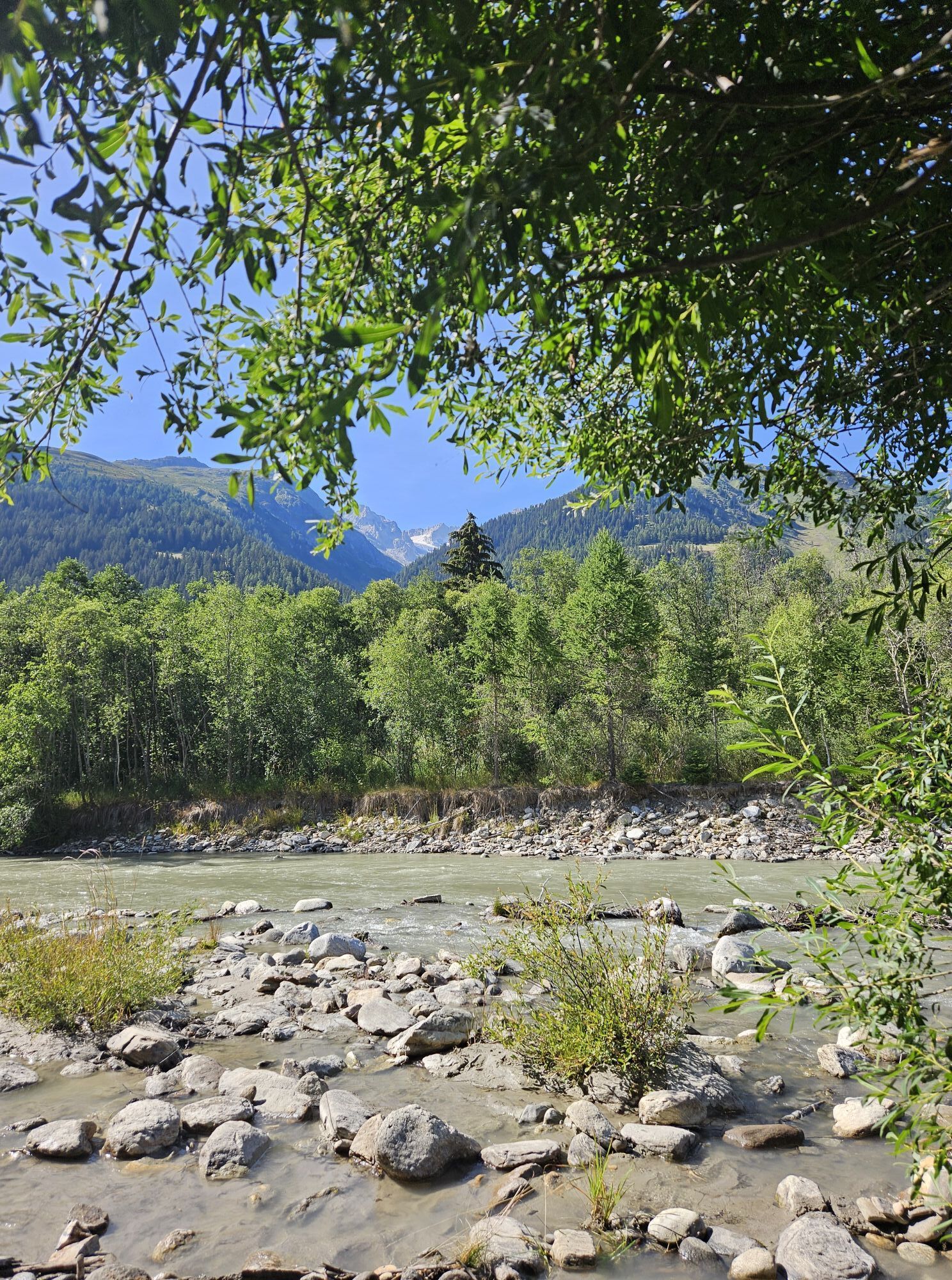
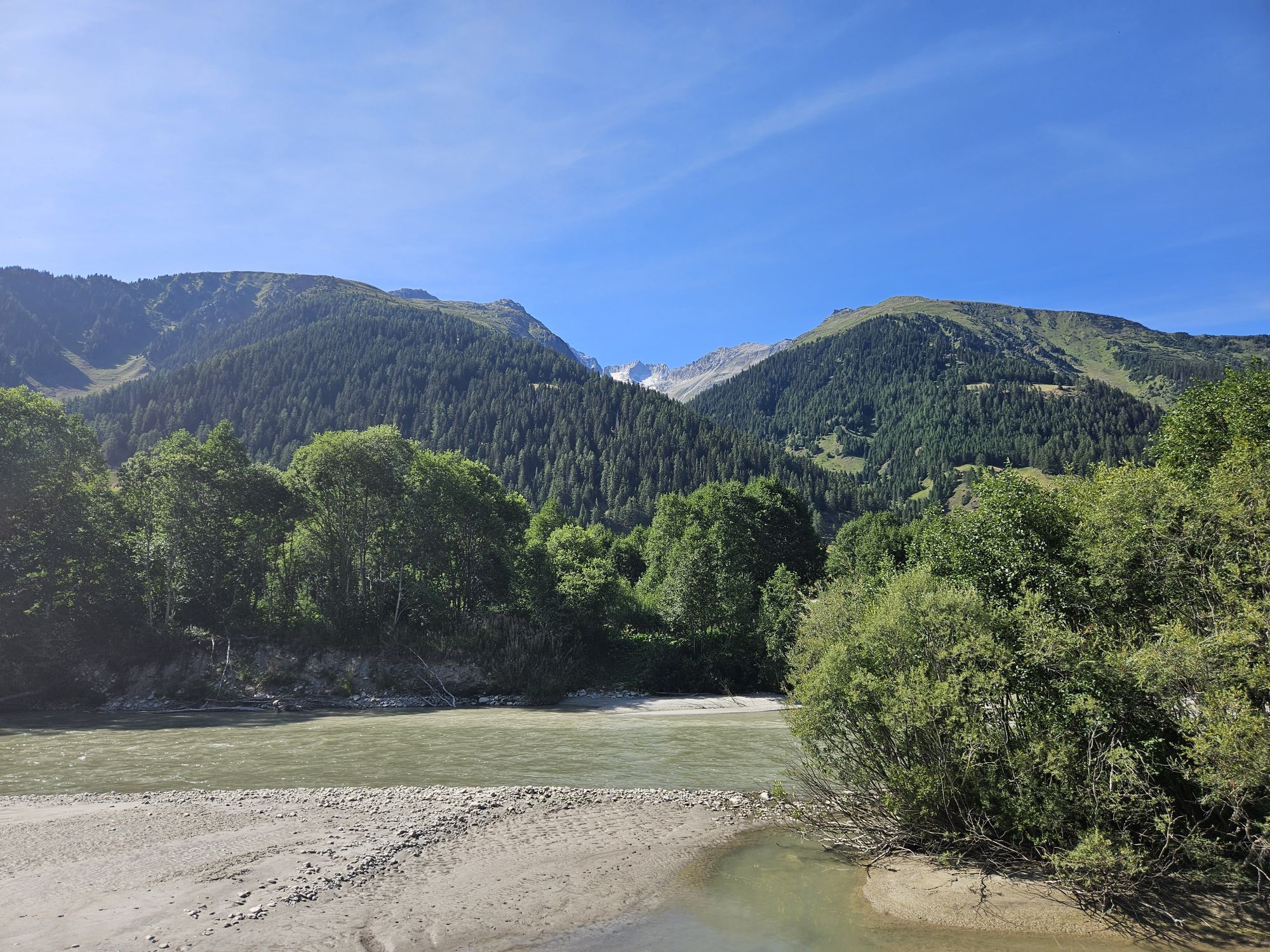
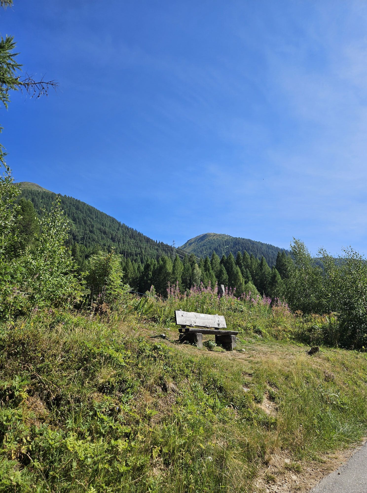
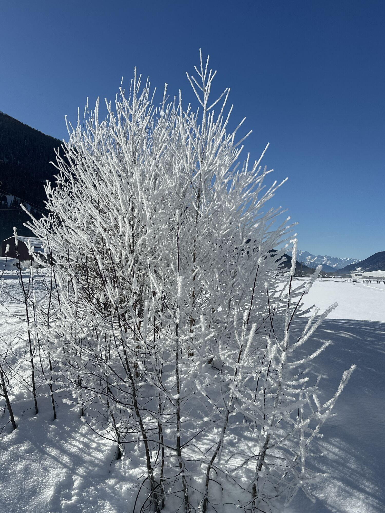
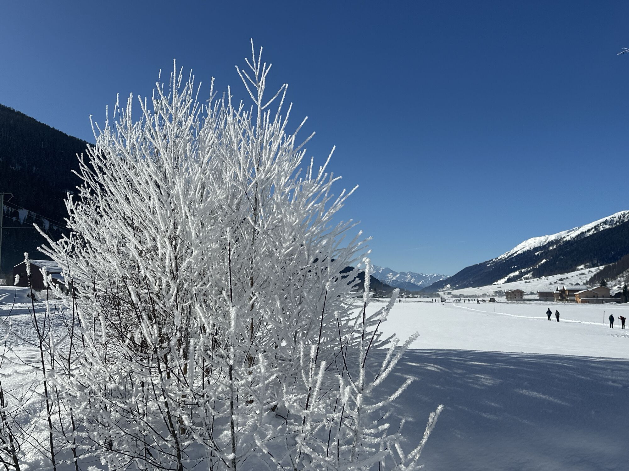
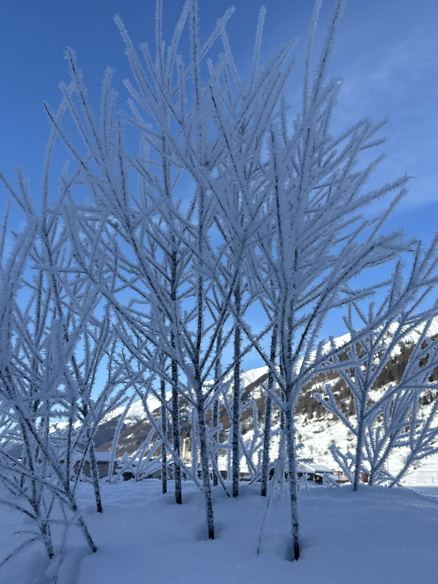
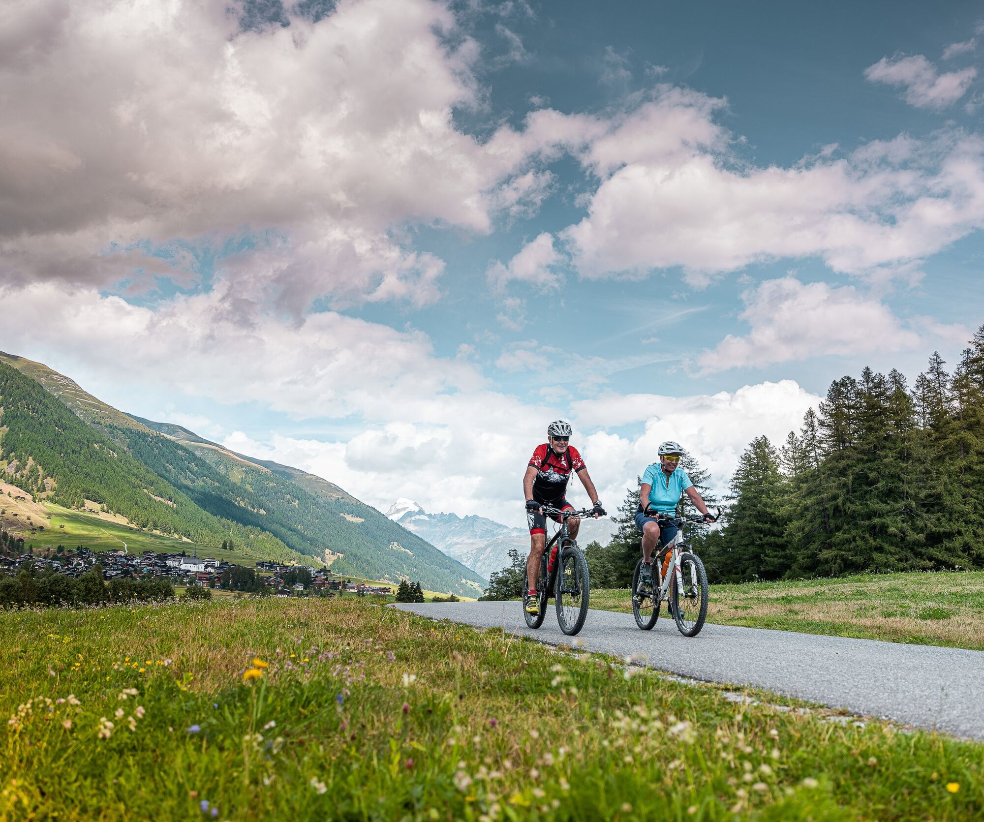
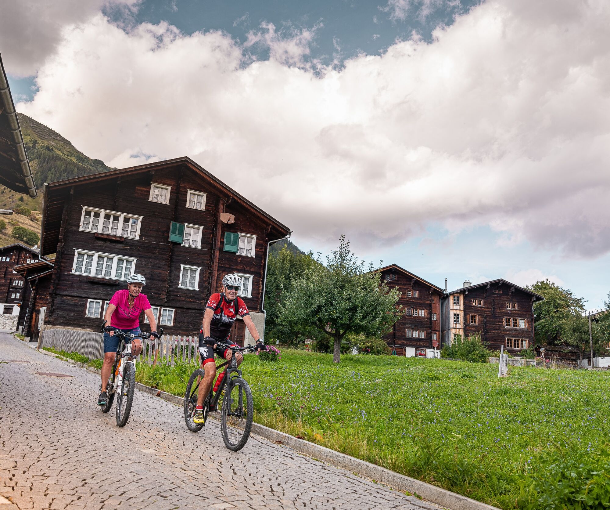
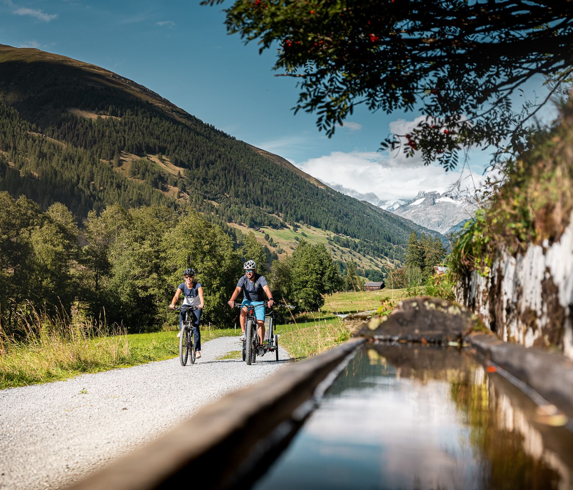
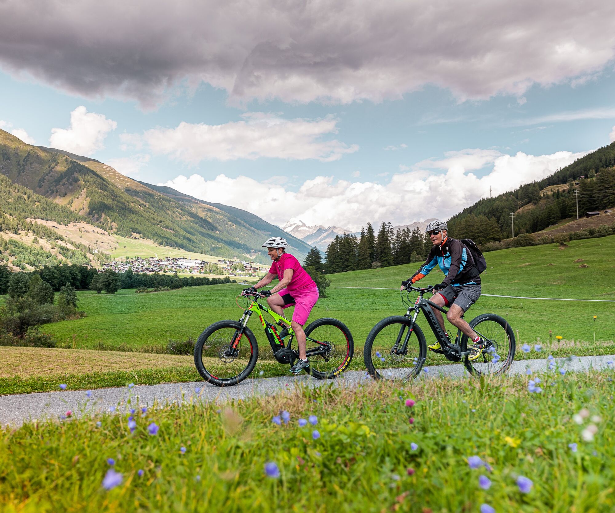
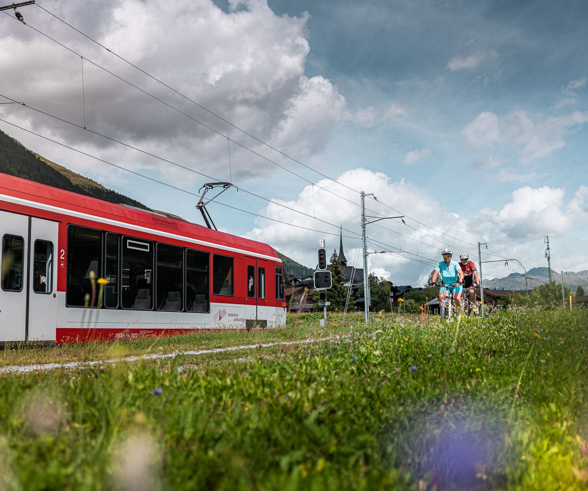
The practically flat Rottenweg along the young Rhone is ideal for exploring Goms. Sometimes over wide meadows, sometimes through light forests, the Rottenweg leads from village to village. This leisurely...
The practically flat Rottenweg along the young Rhone is ideal for exploring Goms. Sometimes over wide meadows, sometimes through light forests, the Rottenweg leads from village to village. This leisurely bike path invites you to discover the excellent Obergoms gastronomy. Hikers and strollers are often seen on the Rottenweg as well. A pleasure path for young and old, big and small.

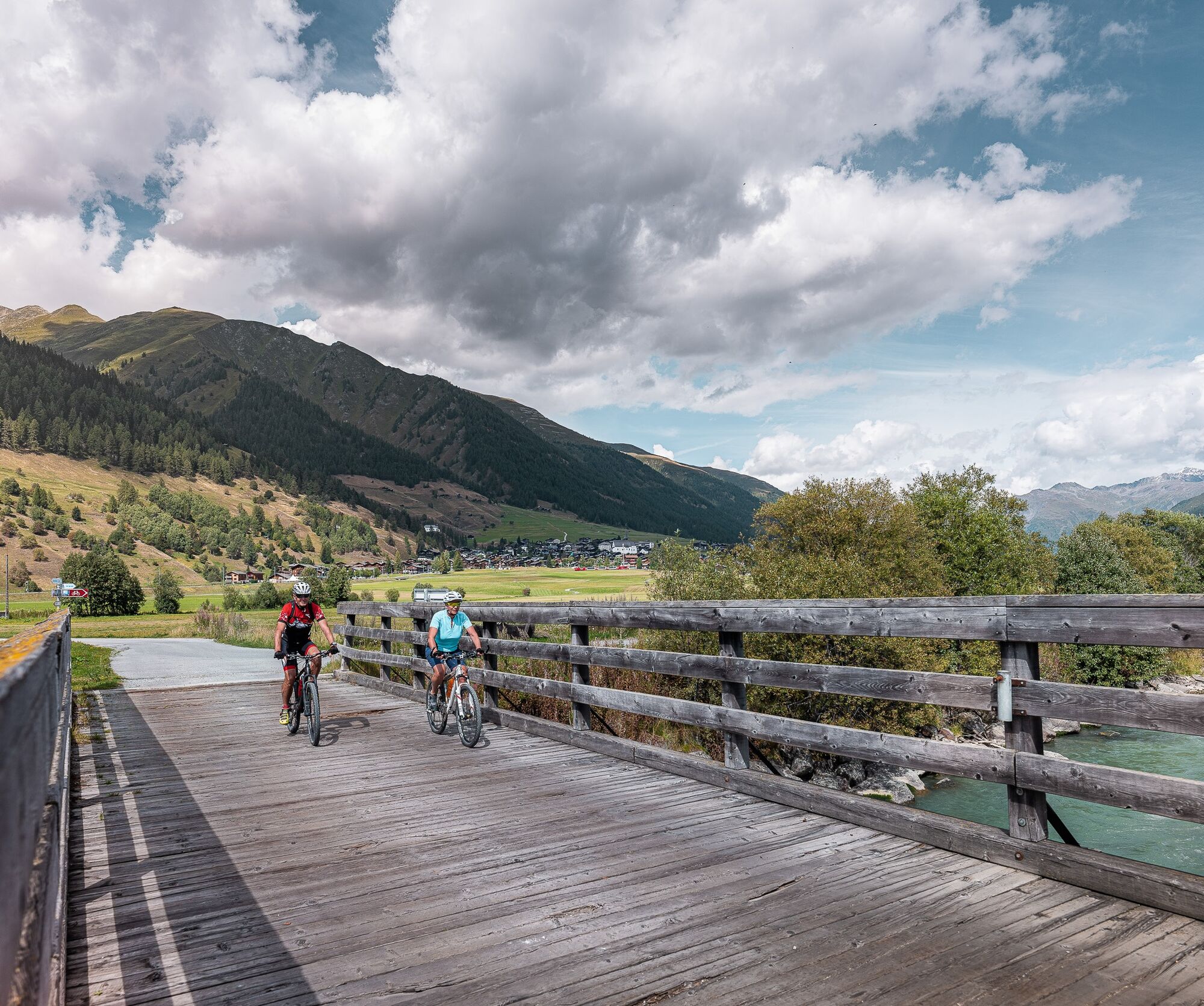

Oberwald - Obergesteln - Ulrichen - Geschinen - Münster - Reckingen - Gluringen - Ritzingen - Biel - Selkingen - Blitzingen - Niederwald - Steinhaus - Mühlebach - Ernen
To the interactive map
We recommend:
Technically flawless bike or bicycle with bell Bicycle helmet and gloves Sun and rain protection as well as warm clothing Detailed maps or information materials with good route preparation Provisions for your day in the great outdoors First aid kit and mobile phone for emergenciesUse of the bike and bicycle paths is at your own risk. Obergoms Tourismus AG disclaims any liability and assumes no responsibility for the accuracy and completeness of the information on this website.
Carry a bike map with you or download the complete description of the bike route with a large-scale map. During your tour, it is recommended to use only marked paths and roads. Respect the rules of Swiss road traffic and observe all signposts and instructions - for your own safety, for the protection of the landscape, and in respect of wildlife. Behave considerately towards other path users. Take your waste and other people's waste with you.
Weather conditions can change very quickly in the mountains and without warning. Appropriate clothing and sufficient provisions (food and drink) are very important. In case of bad weather, it is better to turn back early.
Carry additional sun protection. UV rays at high altitudes can be very strong, even on cloudy days.
Plan your route carefully and thoroughly. Inform yourself in advance about the current conditions and weather. The summer report https://www.goms.ch/sommersportbericht provides valuable information from the region.
From Brig, follow the cantonal road no. 19 (Furkastrasse) for about 40 km to Oberwald.
Goms is also well connected from the Zurich / Lucerne region via Andermatt - car shuttle Furka www.matterhorngotthardbahn.ch .
With the regional trains of the Matterhorn Gotthard Bahn, you can reach Oberwald from Brig in 1 hour 23 minutes. Goms is also well accessible from the Zurich / Lucerne region via Andermatt - Furka Base Tunnel.
The schedules of trains and buses can be found at www.sbb.ch.
Public parking is available around the station or in the village of Oberwald. Follow the local parking guidance system for this purpose.
2
The bike route can be extended as desired to Fiesch or along the Rhone Route No. 1 to Brig.

Webové kamery z prohlídky
Bellwald Tourismus
Obergesteln
Ulrichen VS / Hotel Astoria
Blitzingen
Fiesch
Obergoms/Oberwald
Nordisches Zentrum Goms
Münster Landhaus Goms
Blitzingen Bodmen
Blitzingen - Hotel Castle
Bellwald Furggulti
Bellwald Talstation
Bellwald Mittelstation Fleschen
Hotel Grimselpass
Grimselsee - Grimsel Hospiz
Binn Lengtal Schmidigehischre
Obergesteln - Source du Rhône
Goms - Obergesteln



Oblíbené prohlídky v okolí
- 5.0
Circular hike from Grimsel Pass - Sidelhorn via Jostsee
středníTuristika 8.47 km - 5.0
9 lake-trail
heavyTuristika 17.3 km UNESCO Höhenweg
Turistika 3.70 km- 4.0
Panoramaweg über den Aletschgletscher
středníTuristika 17.7 km - 4.8
Ciaspolata al Rifugio Maria Luisa
středníSněžnice 11.2 km - 4.0
Eggishorn via ferrata
středníVia ferrata 1.39 km - 3.5
Circular hike Furka Pass-Tällistock
středníTuristika 11.0 km - 5.0
Aletsch Sightseeing
středníZimní turistika 15.5 km - 5.0
Toce Waterfall - Riale - San Giacomo Pass road
středníTuristika 10.9 km - 4.5
Hike to the Glacier View in Bellwald
středníTuristika 8.86 km
Pěší turistika a stopování


Nenechte si ujít nabídky a inspiraci pro vaši příští dovolenou
Vaše e-mailová adresa byl přidán do poštovního seznamu.





