






Gämschfax bike route

Úroveň obtížnosti: S1
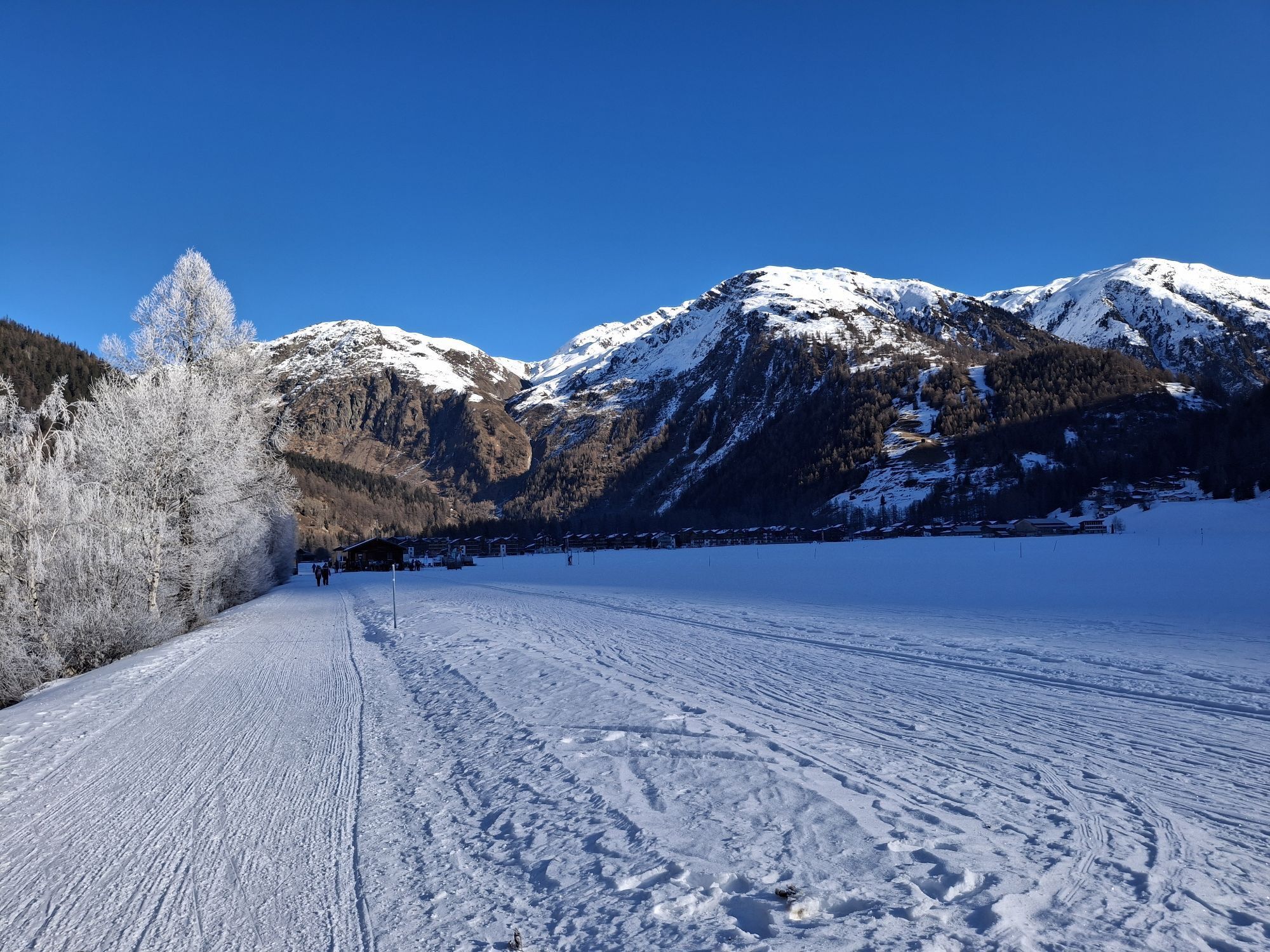
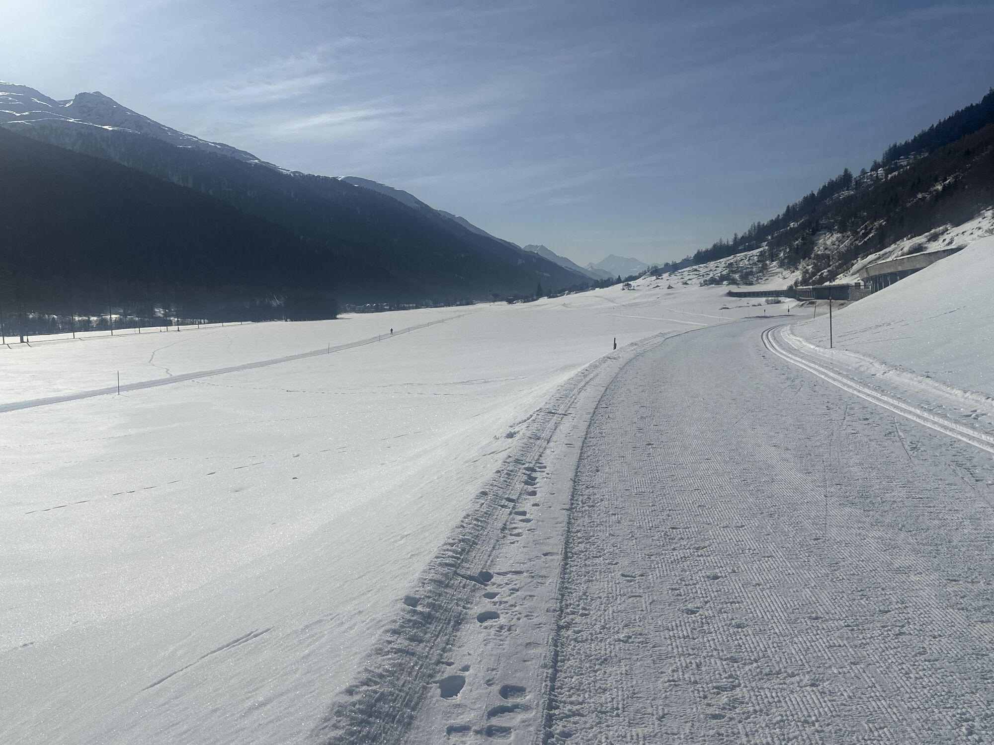

The high altitude route offers deep insights into the impressive mountain landscape of Goms. Those seeking sporting challenges in nature, away from busy tourist streams, will get their full money’s worth...
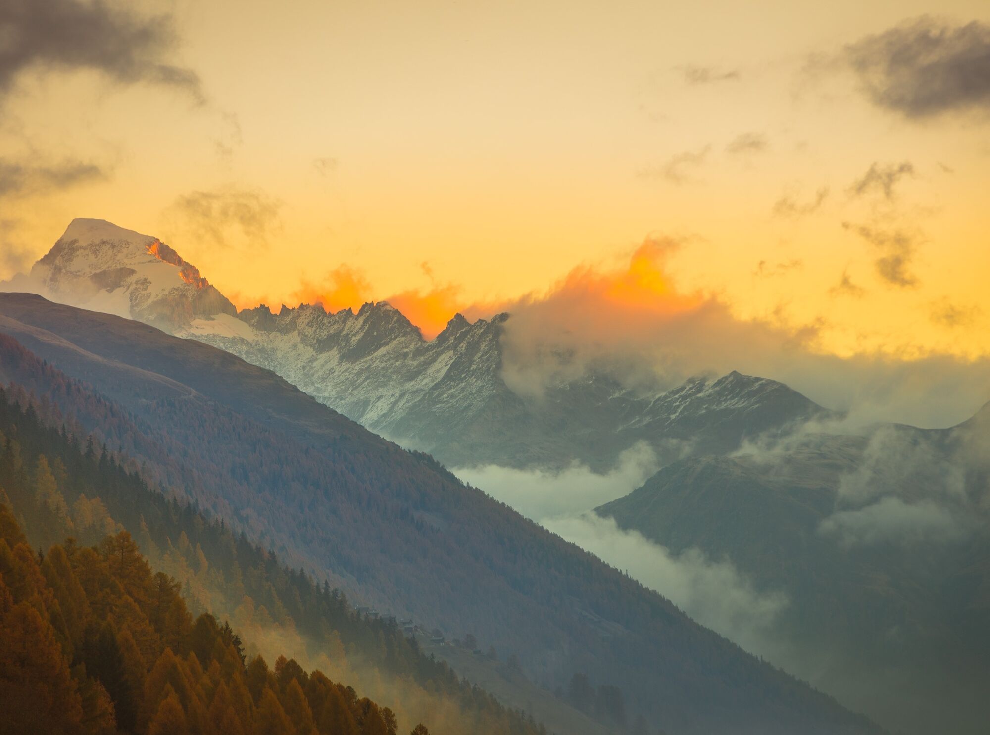
The high altitude route offers deep insights into the impressive mountain landscape of Goms. Those seeking sporting challenges in nature, away from busy tourist streams, will get their full money’s worth here. The views you get to see during this route will remain in your memory forever.

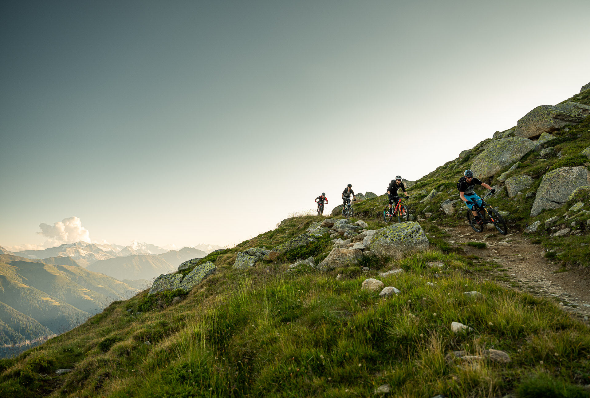
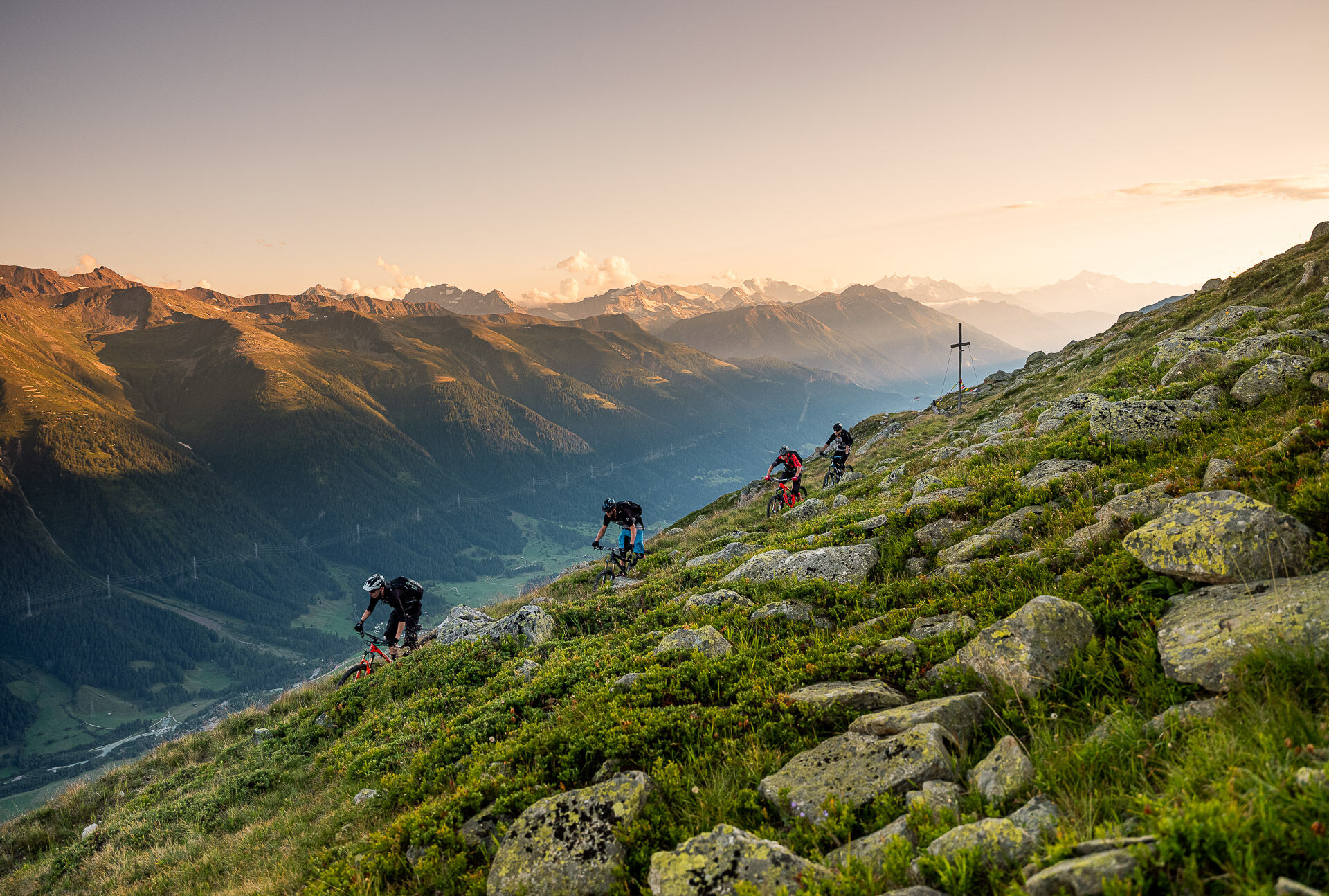
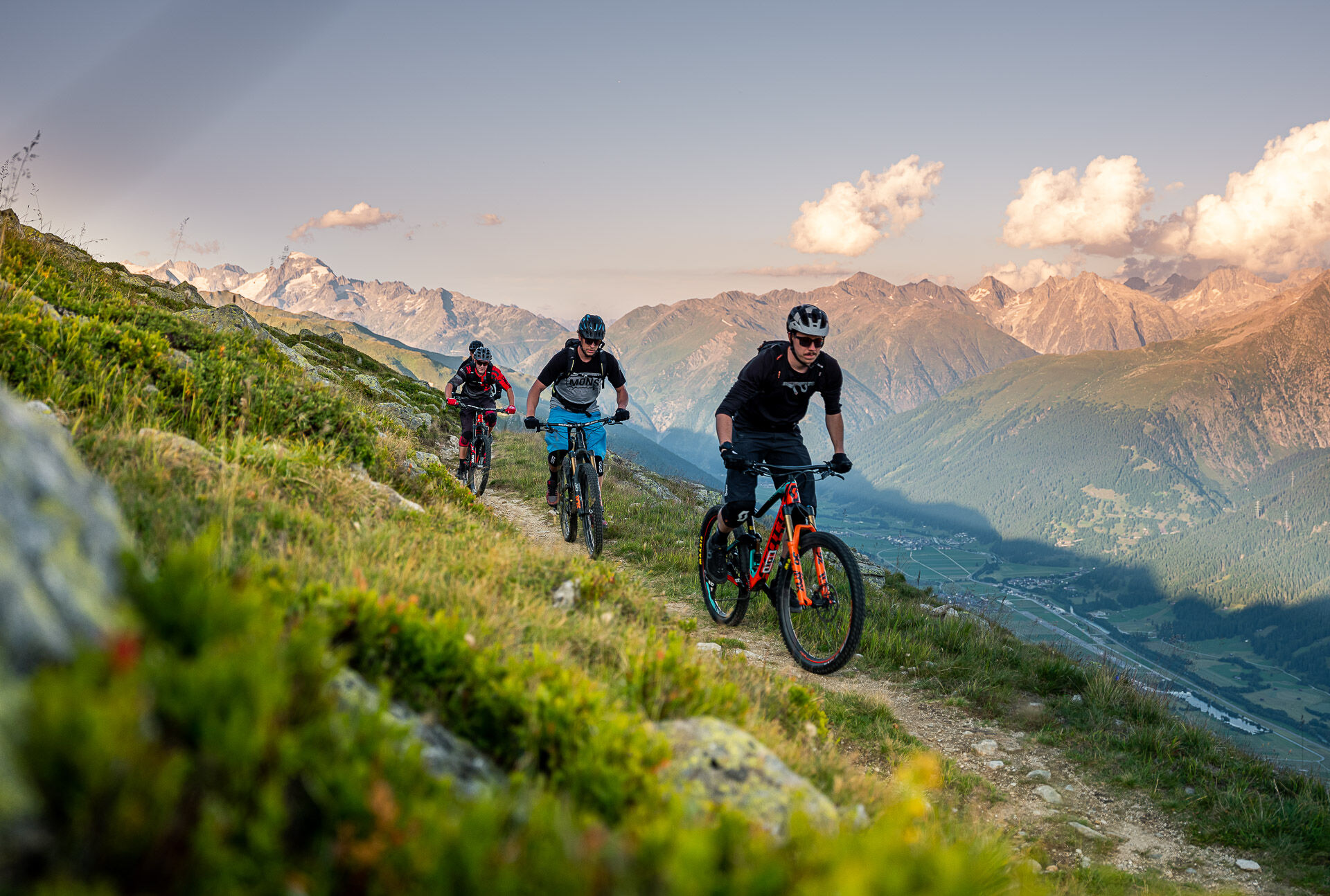
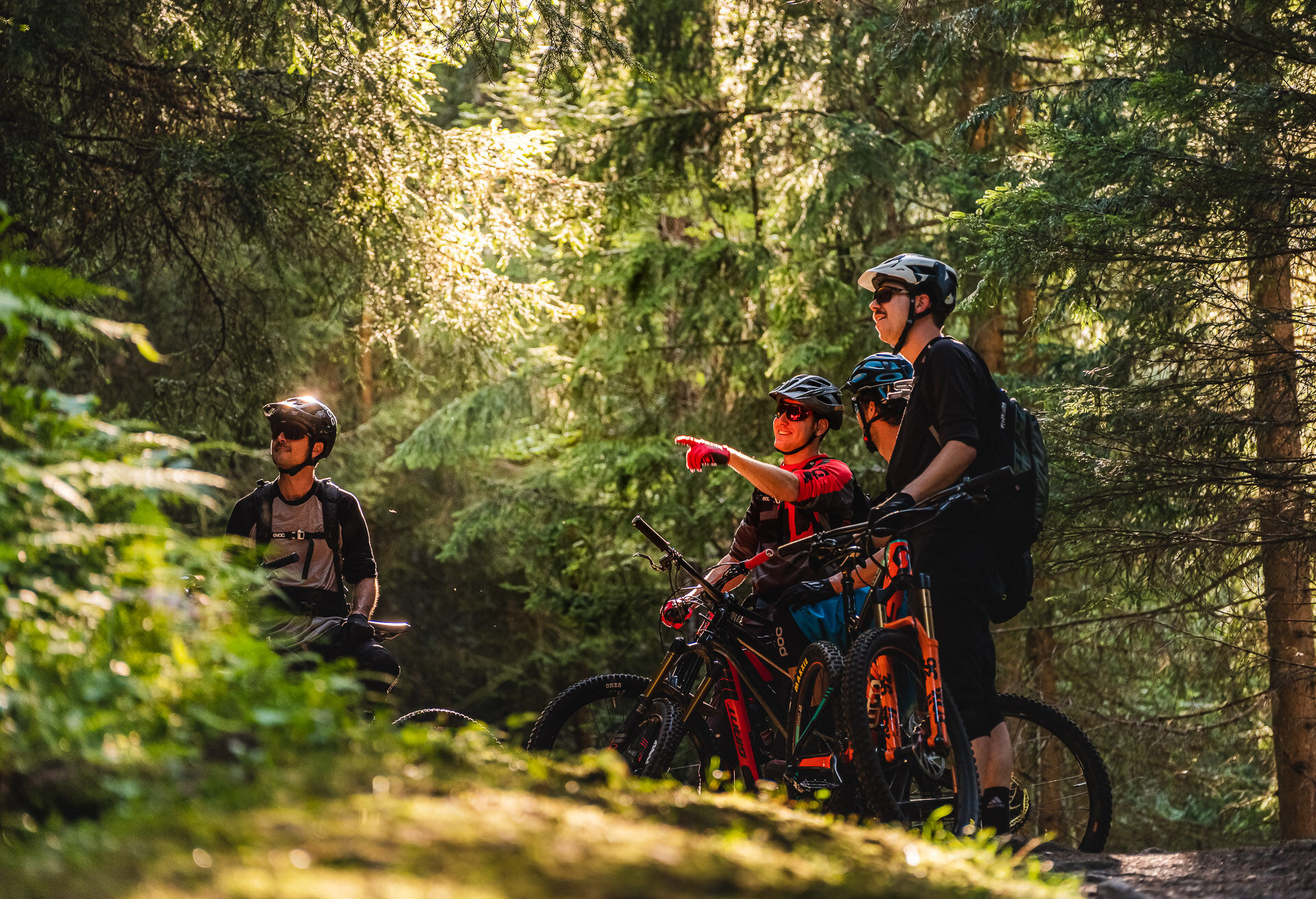
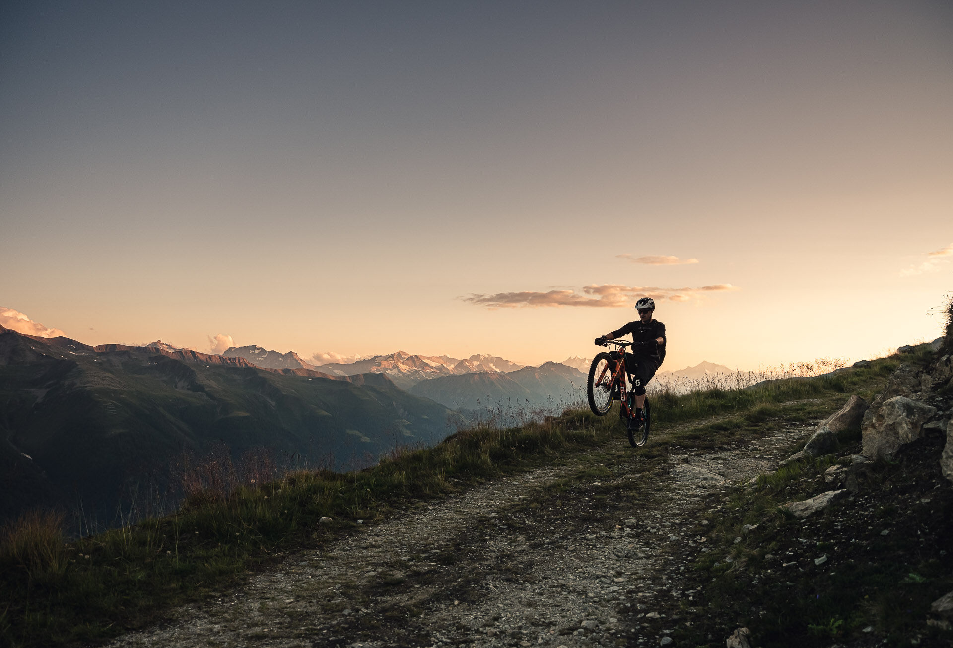
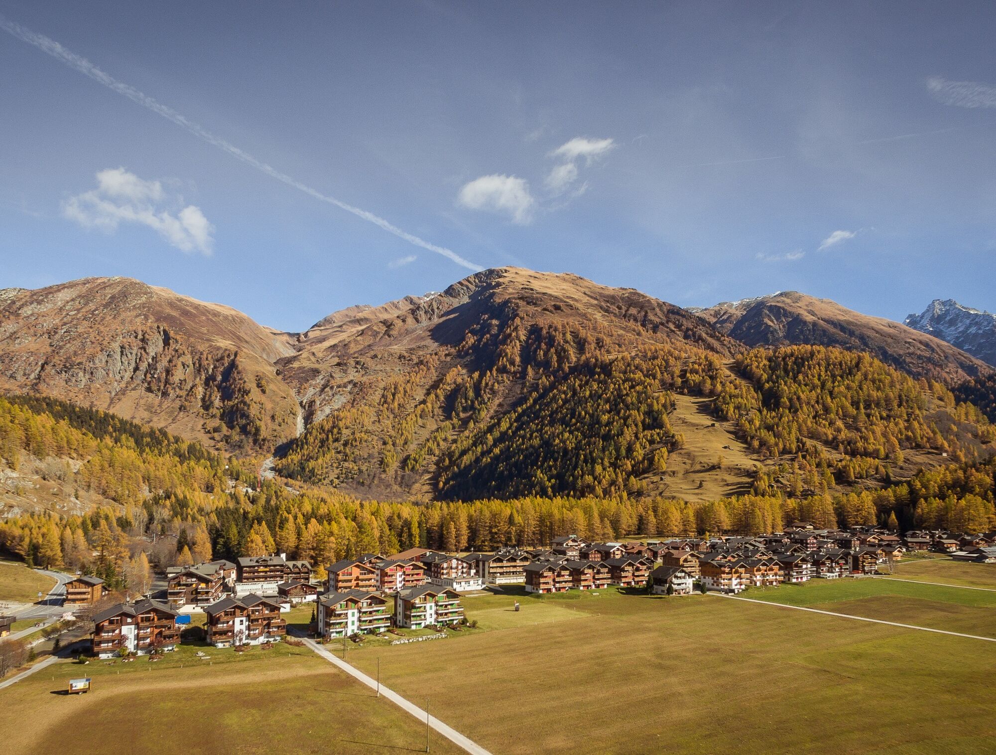

From Oberwald train station, you cycle north on the bike path and soon find yourself on a winding route that quickly gains altitude. After just under four kilometers, you leave the paved path to the left. On the climb, over 1000 meters of elevation are overcome, but it proceeds more or less evenly.
After about 10 kilometers, a short trail descent follows, then the path continues with alternating ups and downs. You reach the highest point of the route at about 2250 meters altitude, then a long and beautiful descent follows – first along a path, then on switchbacks and finally downhill to Ulrichen. There you cross the railway tracks and cycle leisurely along the Rhône back to Oberwald.
To the interactive map
Our recommendation: technically flawless bike, helmet, gloves and bell, weather-appropriate clothing (always bring rain protection), drink and food
Use only the marked bike paths and roads and follow the signs. Please close gates and fences behind you. Be considerate of hikers as well as plants and animals. Hikers generally have the right of way. Assess your own skills and fitness well. Riding the various routes is always at your own risk.
From Brig-Glis, you reach Oberwald along the main road.
You can reach Oberwald from Visp/Brig by train. Remember to reserve a place for your mountain bike via the SBB Mobile app or on sbb.ch.
Parking is available at Oberwald train station.
S1
To shorten the route, you can descend directly from Gämschfax to Obergesteln.

Webové kamery z prohlídky

Oblíbené prohlídky v okolí
-
5.0
Circular hike from Grimsel Pass - Sidelhorn via Jostsee
středníTuristika 8.47 km -
5.0
9 lake-trail
heavyTuristika 17.3 km -
5.0
Gelmersee-Tour
světloTuristika 9.03 km -
Furka Pass – Rhone Glacier
světloTuristika 3.59 km -
4.8
Ciaspolata al Rifugio Maria Luisa
středníSněžnice 11.2 km -
5.0
Um den Gelmersee zur Gelmerhütte
středníTuristika 9.30 km -
3.5
Circular hike Furka Pass-Tällistock
středníTuristika 11.0 km -
von Albert-Heim-Hütte via Nepali Highway und Sidelenhütte nach Furkapass
heavydálková pěší trasa 8.40 km -
5.0
Toce Waterfall - Riale - San Giacomo Pass road
středníTuristika 10.9 km -
4.0
Capanna Piansecco
světloSněžnice 7.26 km
Pěší turistika a stopování


Nenechte si ujít nabídky a inspiraci pro vaši příští dovolenou
Vaše e-mailová adresa byl přidán do poštovního seznamu.





