







Flowtrail Chetseron

Úroveň obtížnosti: S0
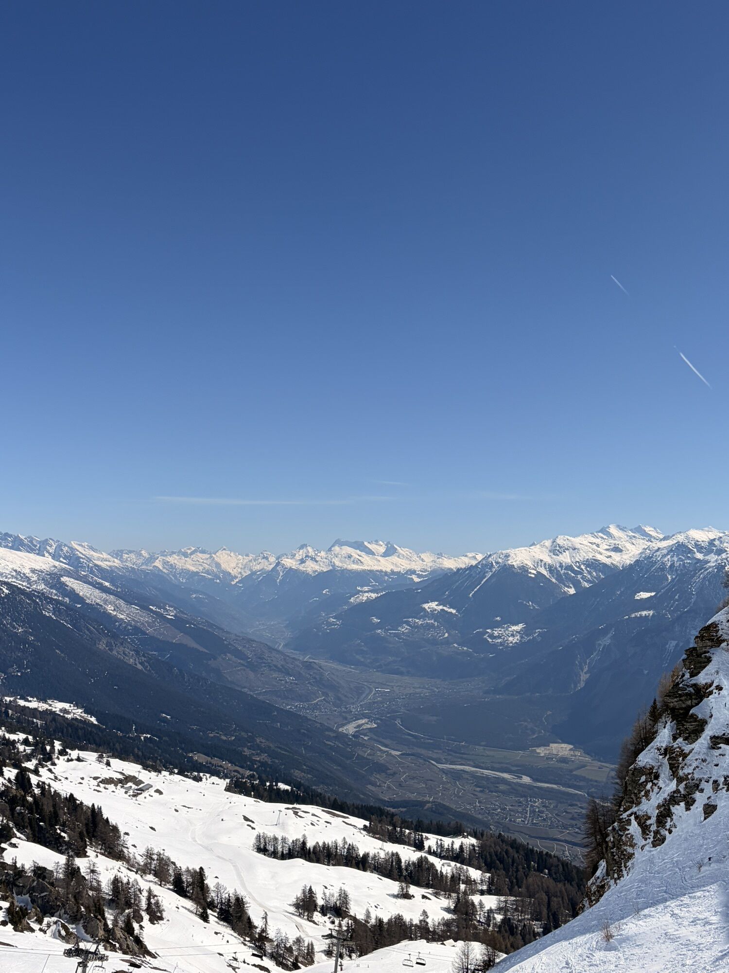
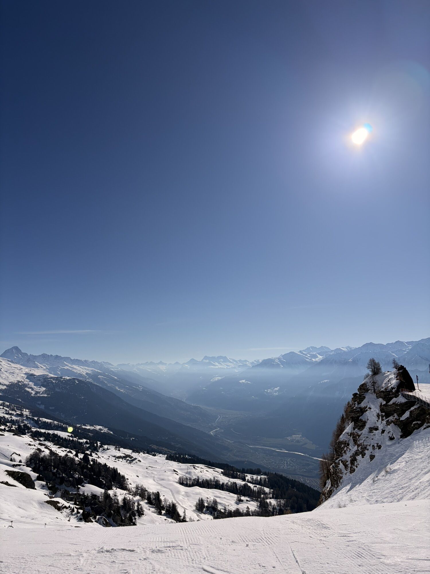
The Chetzeron Flowtrail offers 1.7 km of smooth descending between Cry d'Er and Chetzeron, set in a wide-open alpine landscape. Turns, rhythm, views: the route is accessible, playful and enjoyable to ride,...
The Chetzeron Flowtrail offers 1.7 km of smooth descending between Cry d'Er and Chetzeron, set in a wide-open alpine landscape. Turns, rhythm, views: the route is accessible, playful and enjoyable to ride, whatever your level. It is also a great warm-up before continuing onto the blue Merbé Downhill trail or the black Chetzeron Downhill trail.

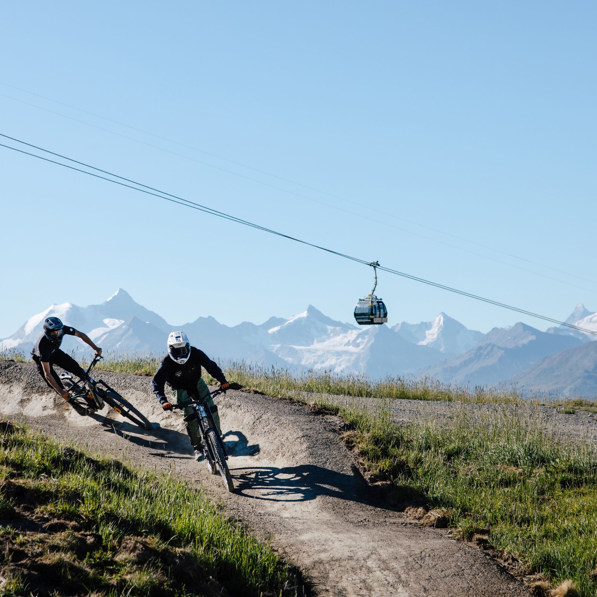
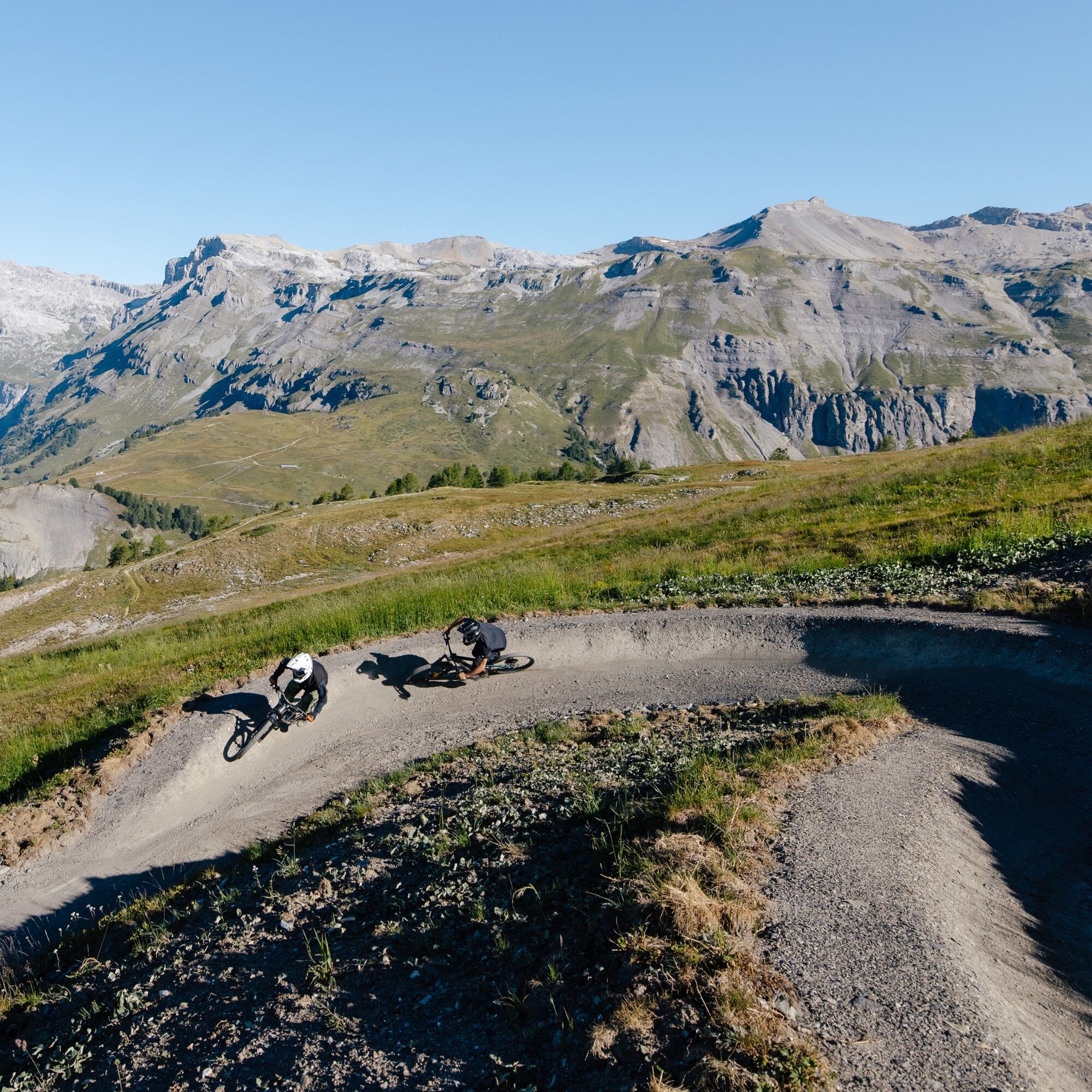
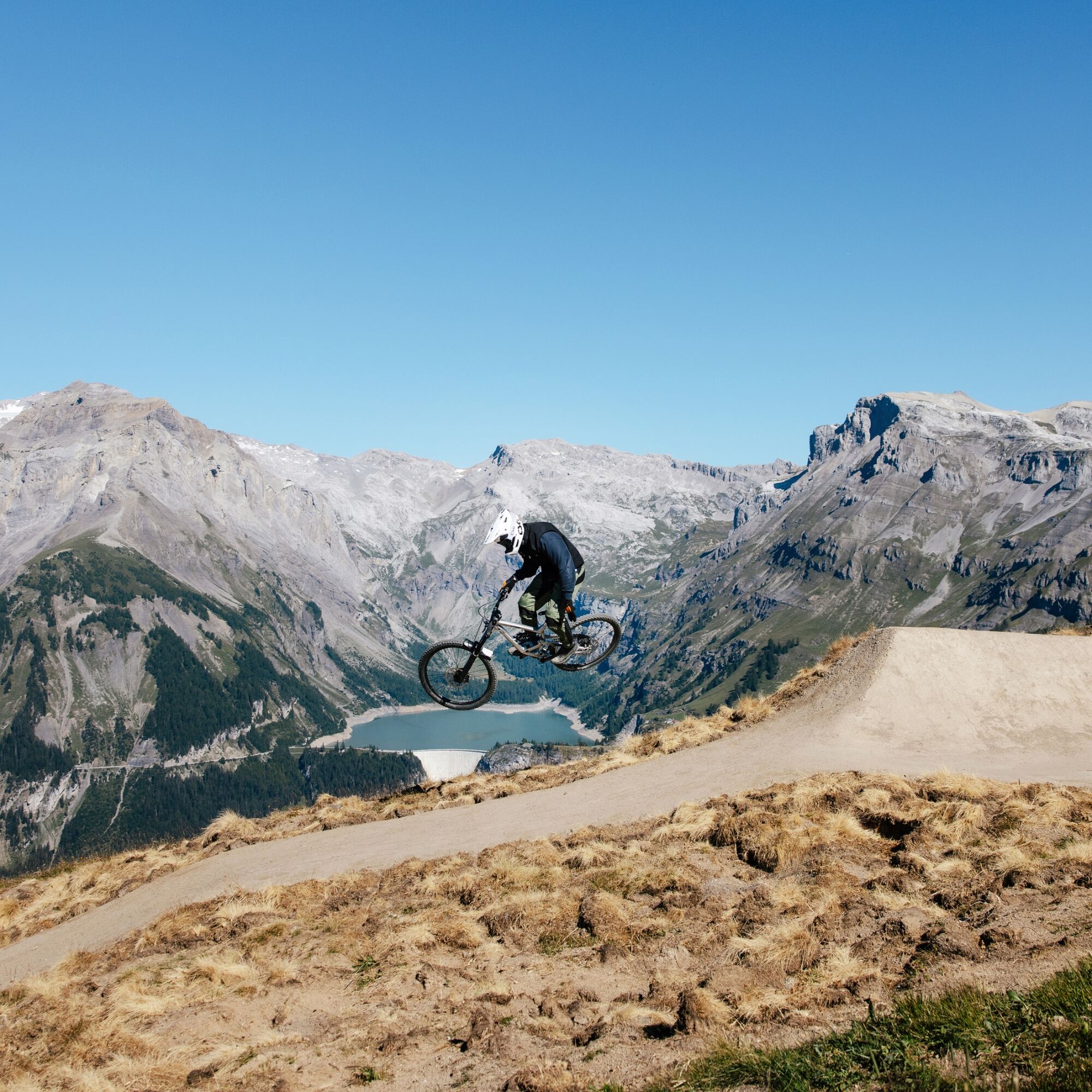
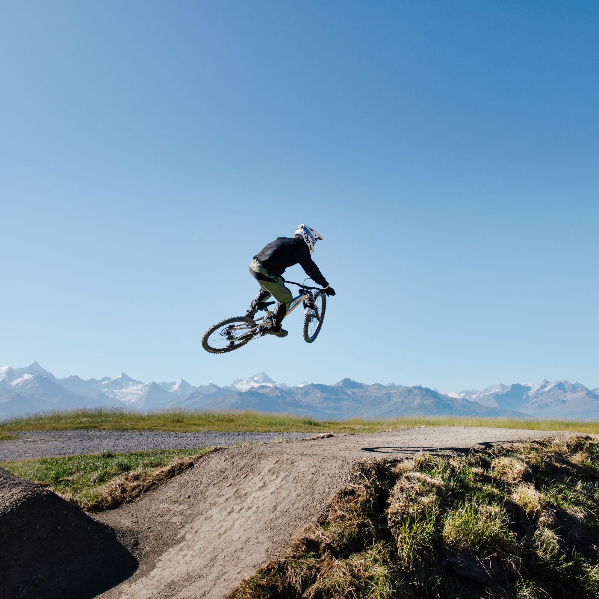
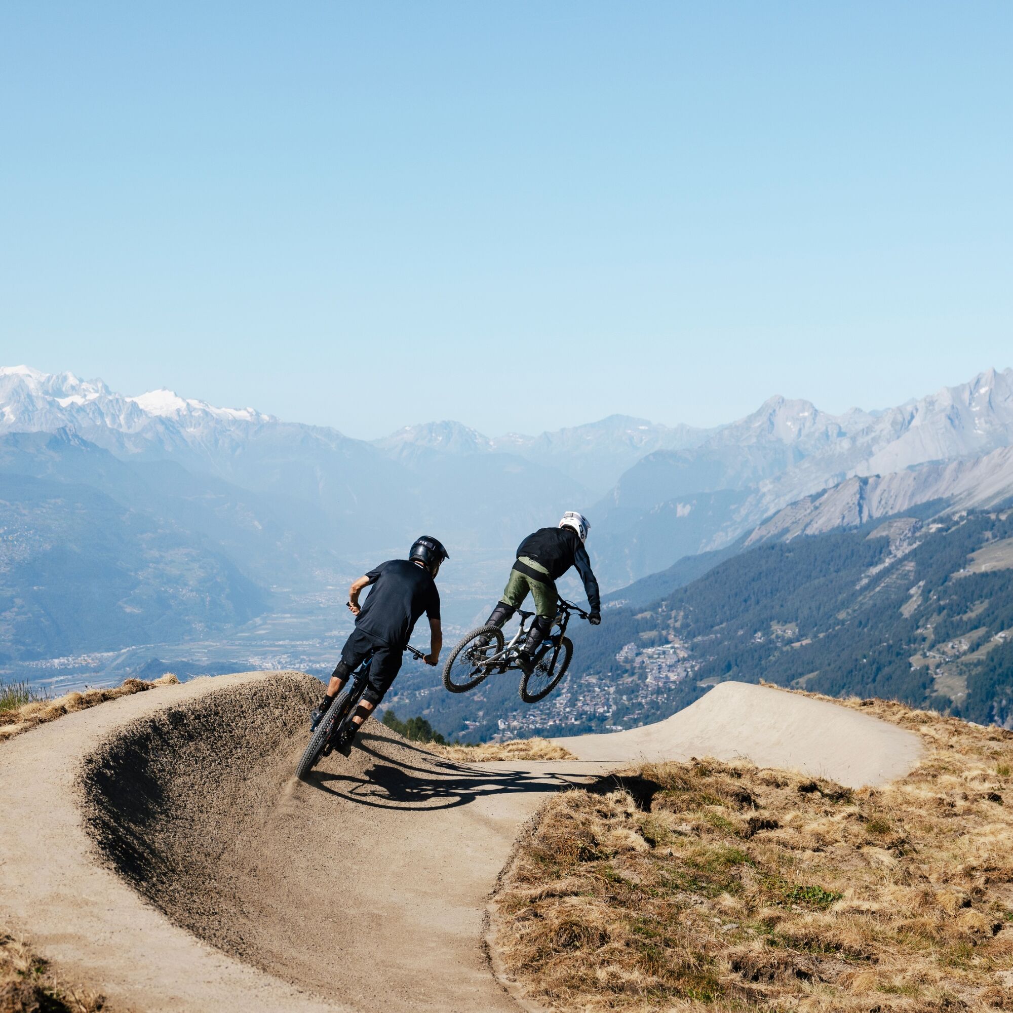

Over around 1.7 km, the trail descends gradually by about 150 metres. The route has been specially built to offer a smooth, consistent surface, with no roots or rocky sections. It links turns and changes of direction while keeping a moderate, steady gradient.
Throughout the descent, the open terrain reveals views of the Tseuzier Dam, the Rhône Valley and the surrounding alpine peaks. The trail remains accessible to different levels of rider, with speed easy to adapt according to experience.
The Chetzeron Flowtrail eventually reaches Chetzeron, at around 2,110 metres above sea level, close to the Chetzeron hotel. From there, you can continue the descent on the blue Merbé Downhill trail or the black Chetzeron Downhill trail.
Ano
Preparing for mountain bike outings
Best practice guidelines
When planning, take into account participants’ fitness level and ability. All riding is at one’s own risk.
From Sierre, take the A9 motorway exit, either Sierre-Est or Sierre-Ouest, and follow signs for Crans-Montana, Crans-Montana centre, then Crans centre. The drive takes around 20 to 25 minutes. Once in Crans-Montana, follow signs for the 🚡 Cry d'Er or 🚡 Chetzeron car park. Two car parks are available on site.
From Sierre SBB railway station, head to the SMC funicular station and take the funicular towards "Crans-Montana, gare", the final stop. The journey takes around 13 minutes, with three departures per hour.
When you leave the funicular:
Ride for around 10 minutes to reach the Crans-Cry d'Er lift departure point. Free SMC shuttle buses serve the whole Crans-Montana resort. The closest stop to the departure point is "télé Cry d'Er" on line 431.Then take the lifts up to Cry d'Er.
The following car parks are located at the foot of the lifts:
Cry d'Er, paid outdoor car park
Chetzeron, paid indoor car park
S0
You can book your daily lift pass directly online. The Crans-Cry d'Er line runs from June to October. Timetables are available online.
The route flows through open terrain, with wide views and an impressive panorama throughout the descent.
Webové kamery z prohlídky

Oblíbené prohlídky v okolí
- 5.0
Bisse du Ro
světloTuristika 11.2 km - 4.7
Leukerbad - Gemmipass - Lämmerenhütte
středníTuristika 9.49 km - 4.2
Grand Bisse de Lens
světloTuristika 8.73 km - 4.6
Lauenen - Höji - Bühlhaus Lauenensee
středníTuristika 9.03 km - 4.0
Gemmipass - Lämmerenhütte - Rote Totz Lücke - Daubensee - Gemmipass
středníTuristika 13.7 km - 4.0
Tripon - Brac – Ancien Bisse du Torrent Neuf – St. Marguerite – Torrent Neuf – Prafirmin - St. Germain
světloTuristika 12.9 km - 5.0
Klettersteig Daubenhorn
heavyVia ferrata 5.34 km Zu den Engstligenfällen
středníTuristika 8.06 km- 4.8
Leukerbad - Gemmipass
heavyTuristika 4.73 km - 5.0
Grand bisse d’Ayent
středníTuristika 11.7 km
Pěší turistika a stopování


Nenechte si ujít nabídky a inspiraci pro vaši příští dovolenou
Vaše e-mailová adresa byl přidán do poštovního seznamu.





