




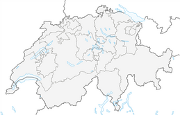


Plateau Bike

Úroveň obtížnosti: S0
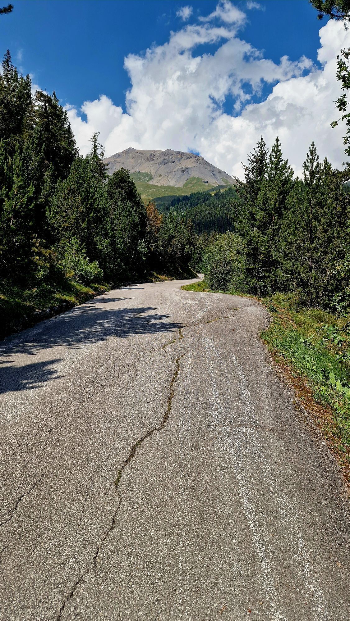
Starting beside Lake Moubra, this route crosses the Crans-Montana High Plateau and showcases its varied scenery. After a short climb towards the centre of Montana, the trail soon reaches quieter areas...
The loop then weaves between forests, clearings and areas dotted with chalets and traditional alpine hamlets, offering plenty of variety along the way. The return section descends through the forest towards Lake Chermignon, then skirts the resort as far as Lake Miriouges before heading back into the cool shade of the Moubra forest.
A varied and well-balanced route for mountain bikers who already have some experience on mountain trails. It is an ideal way to discover the many different sides of the Crans-Montana High Plateau.

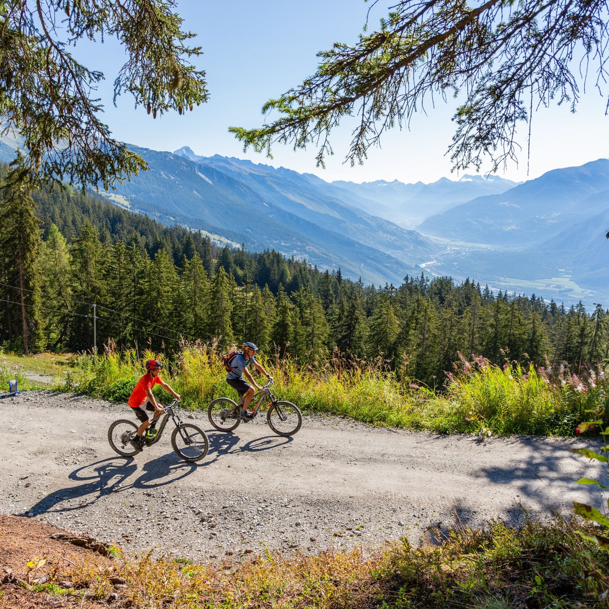
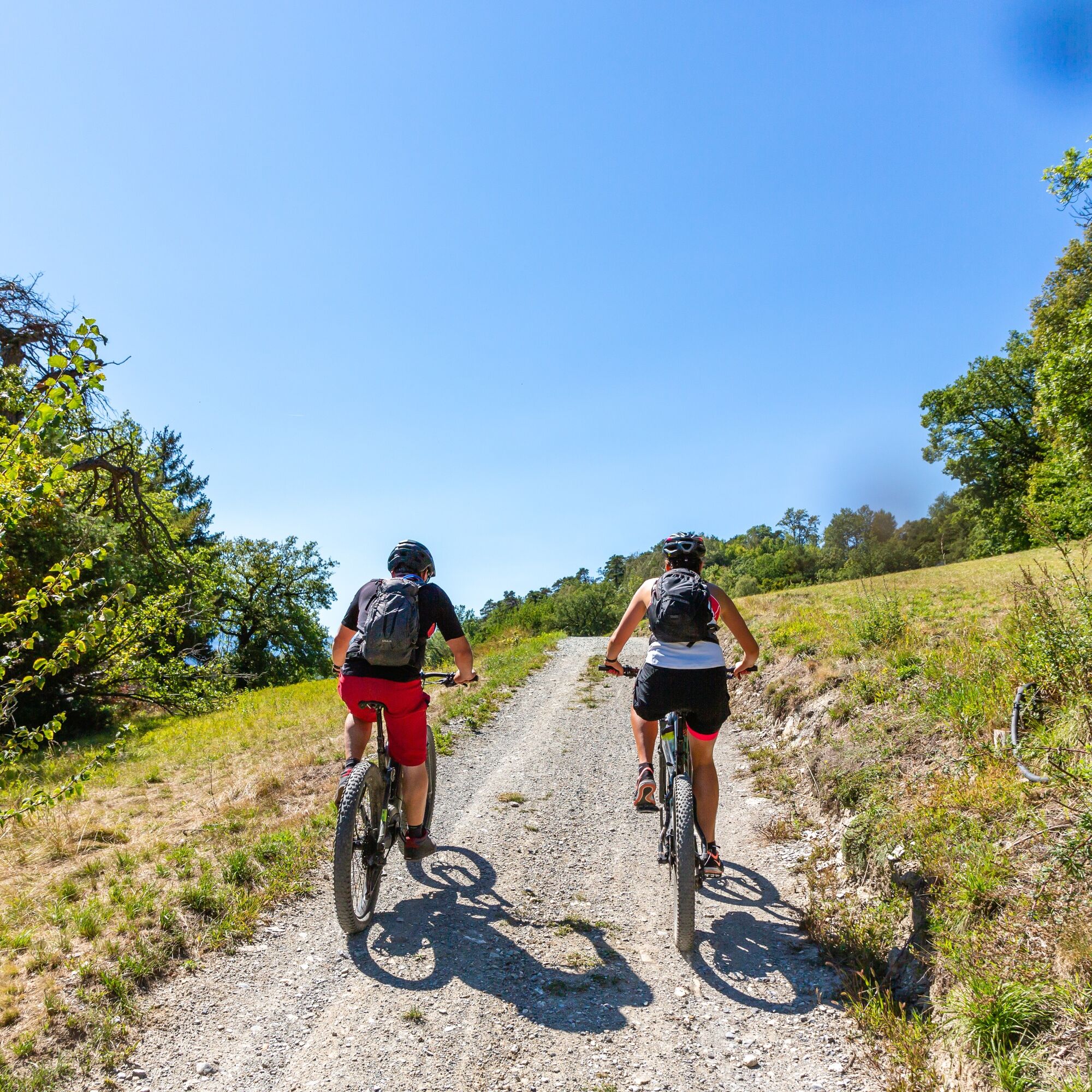
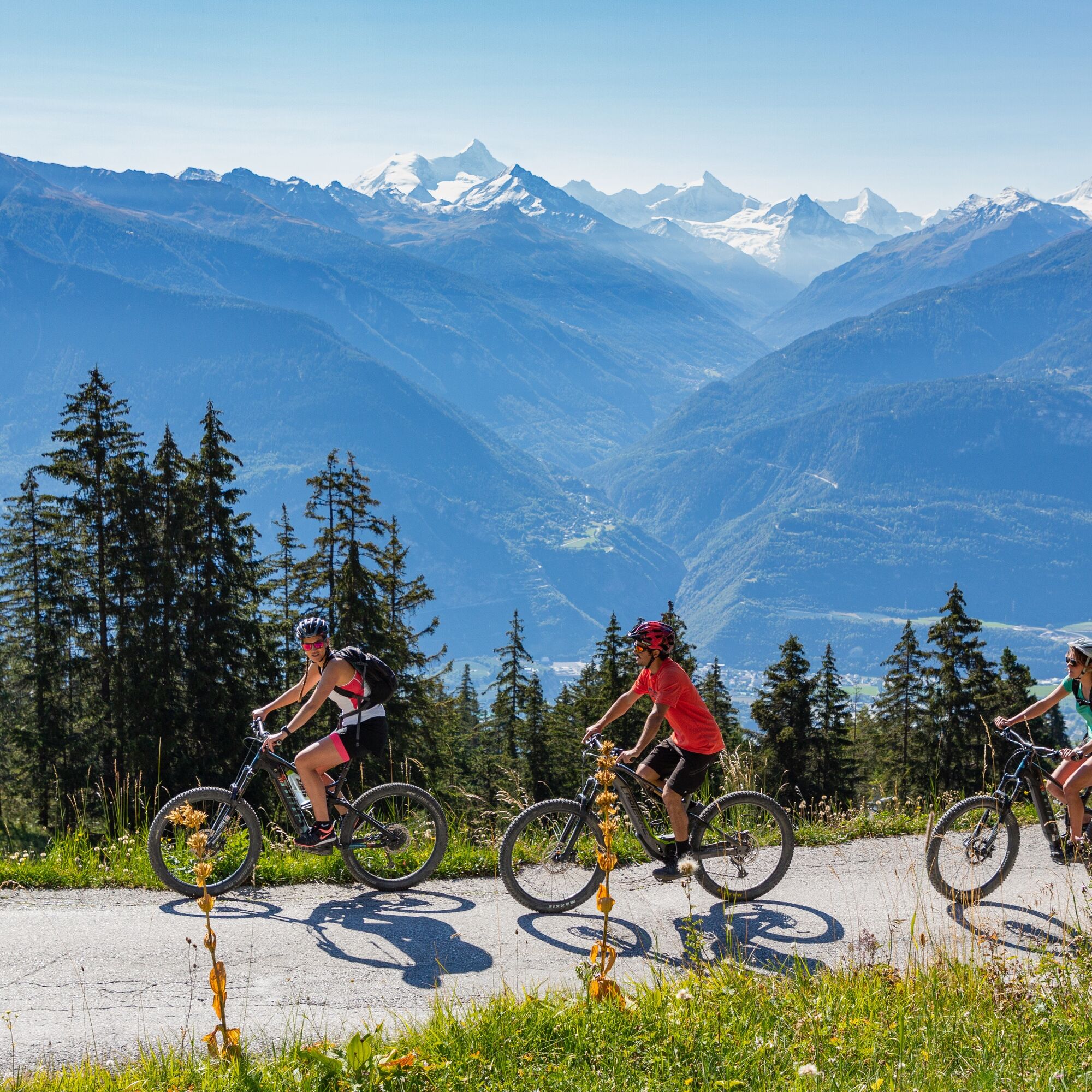
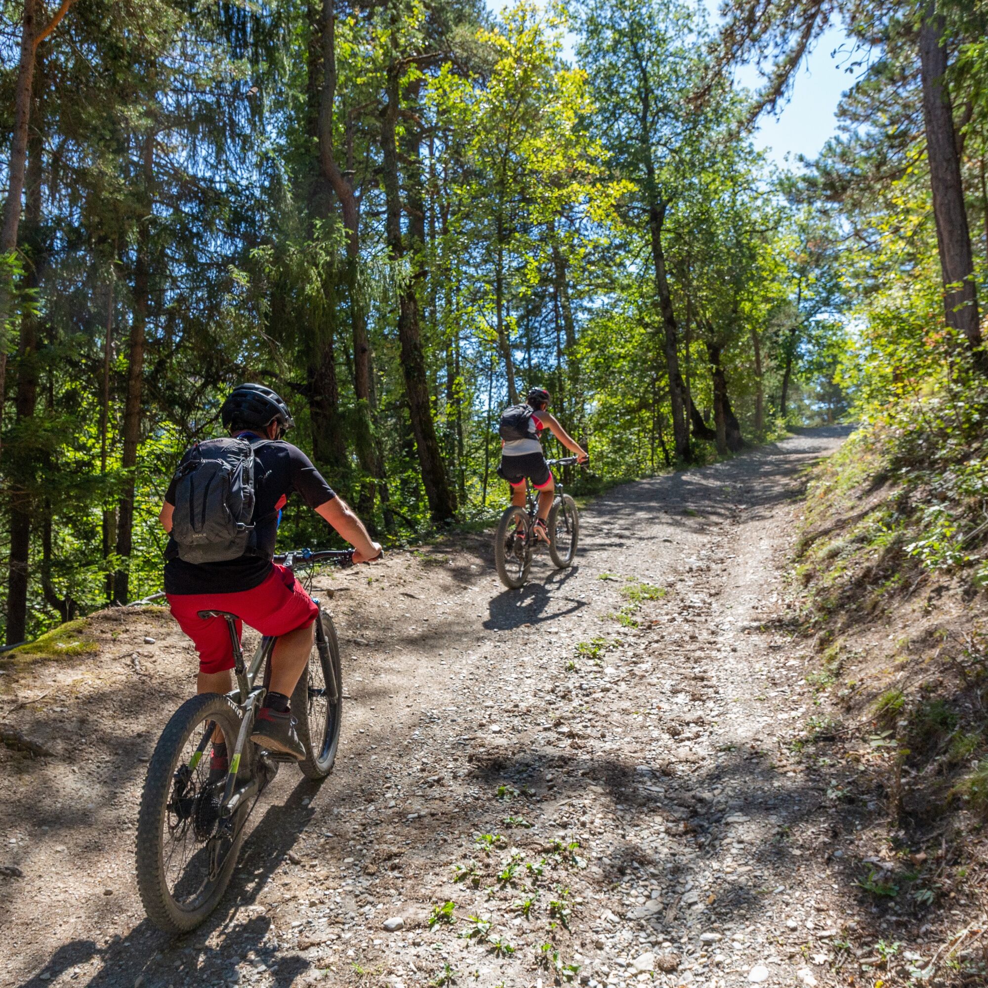
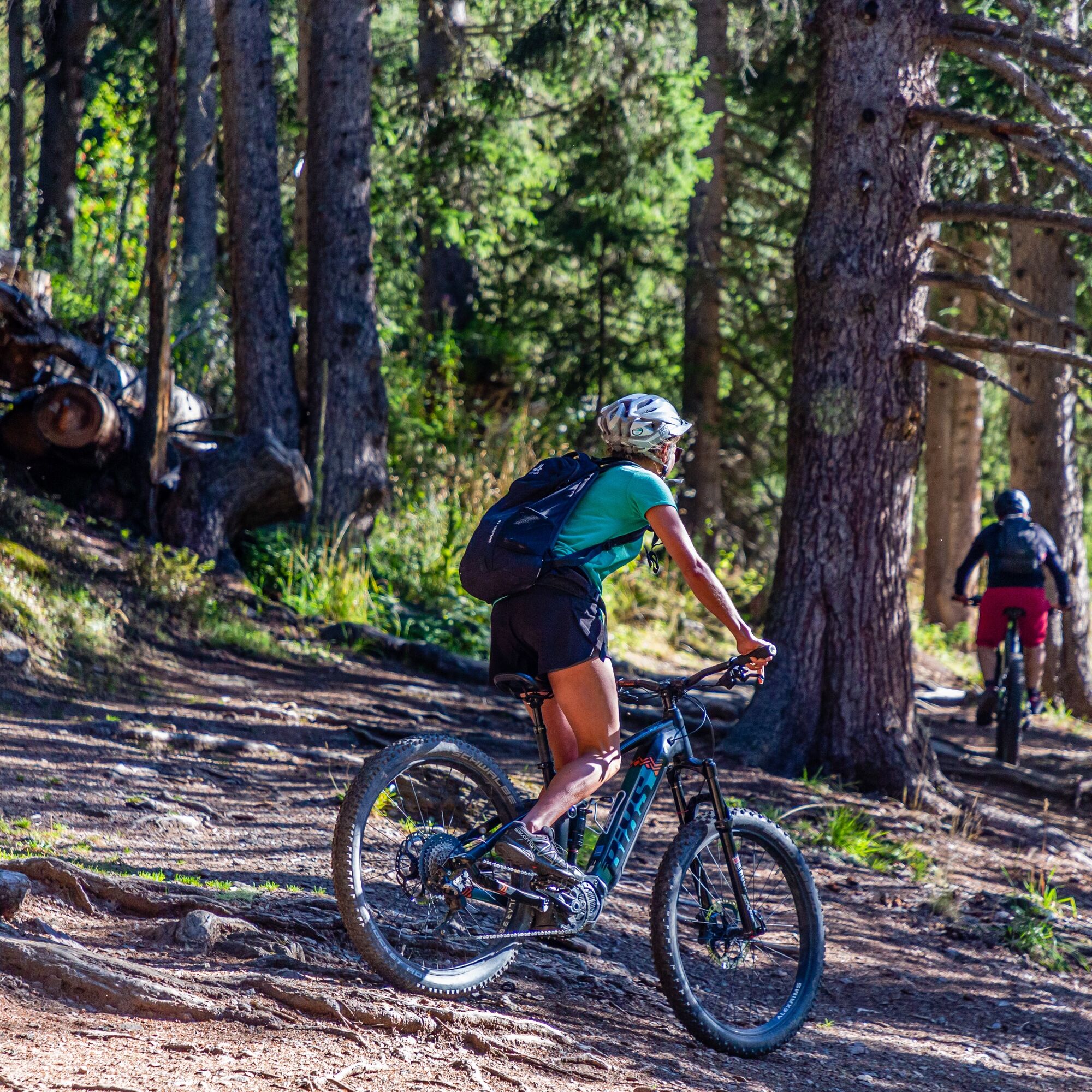
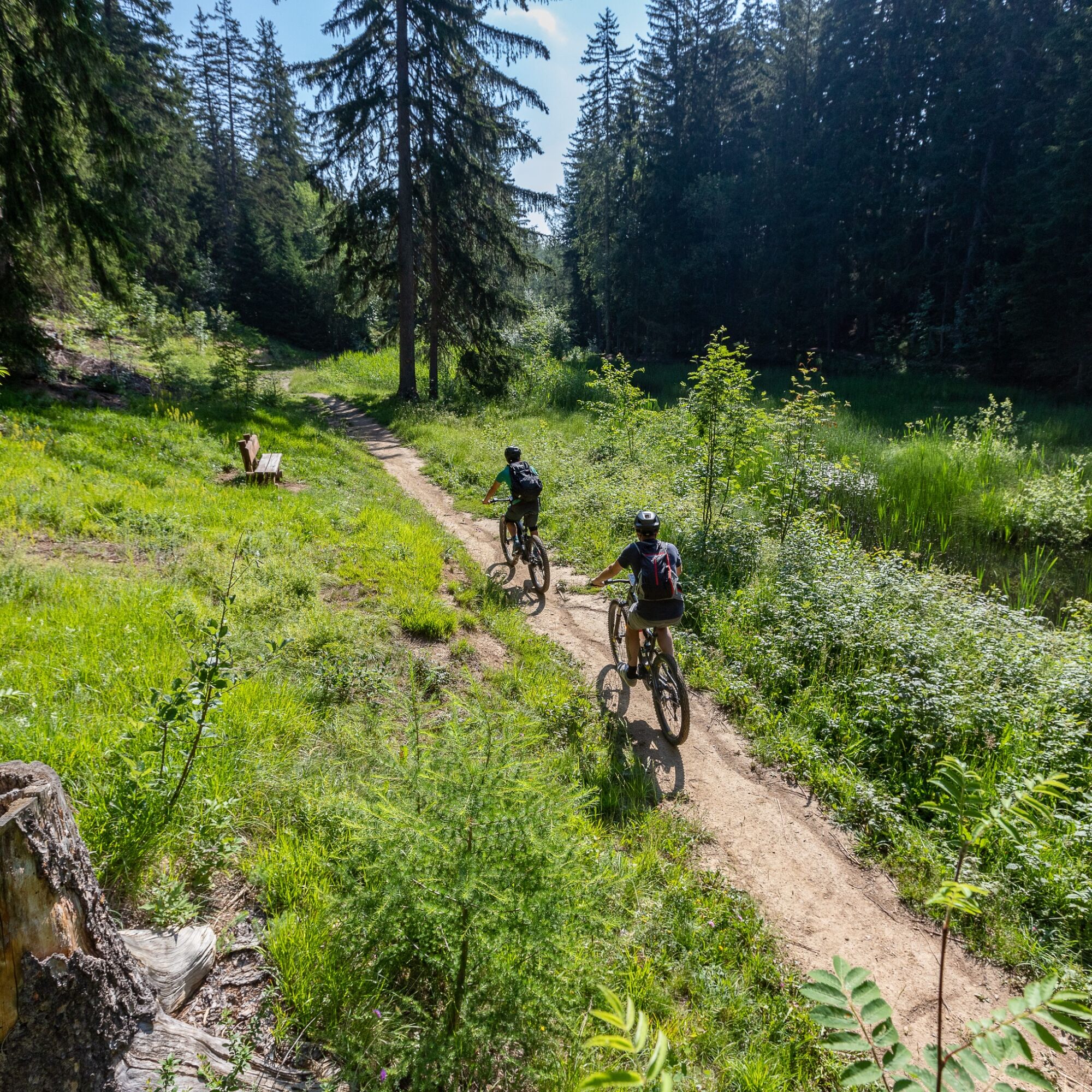
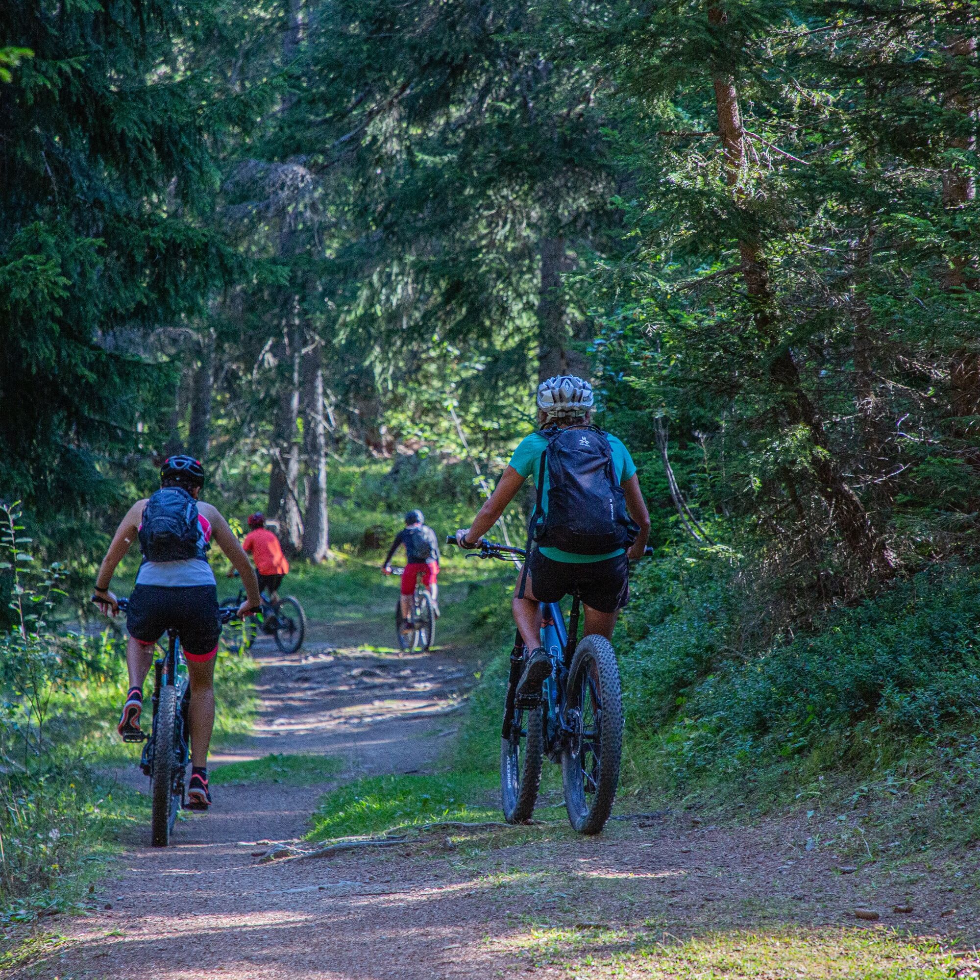
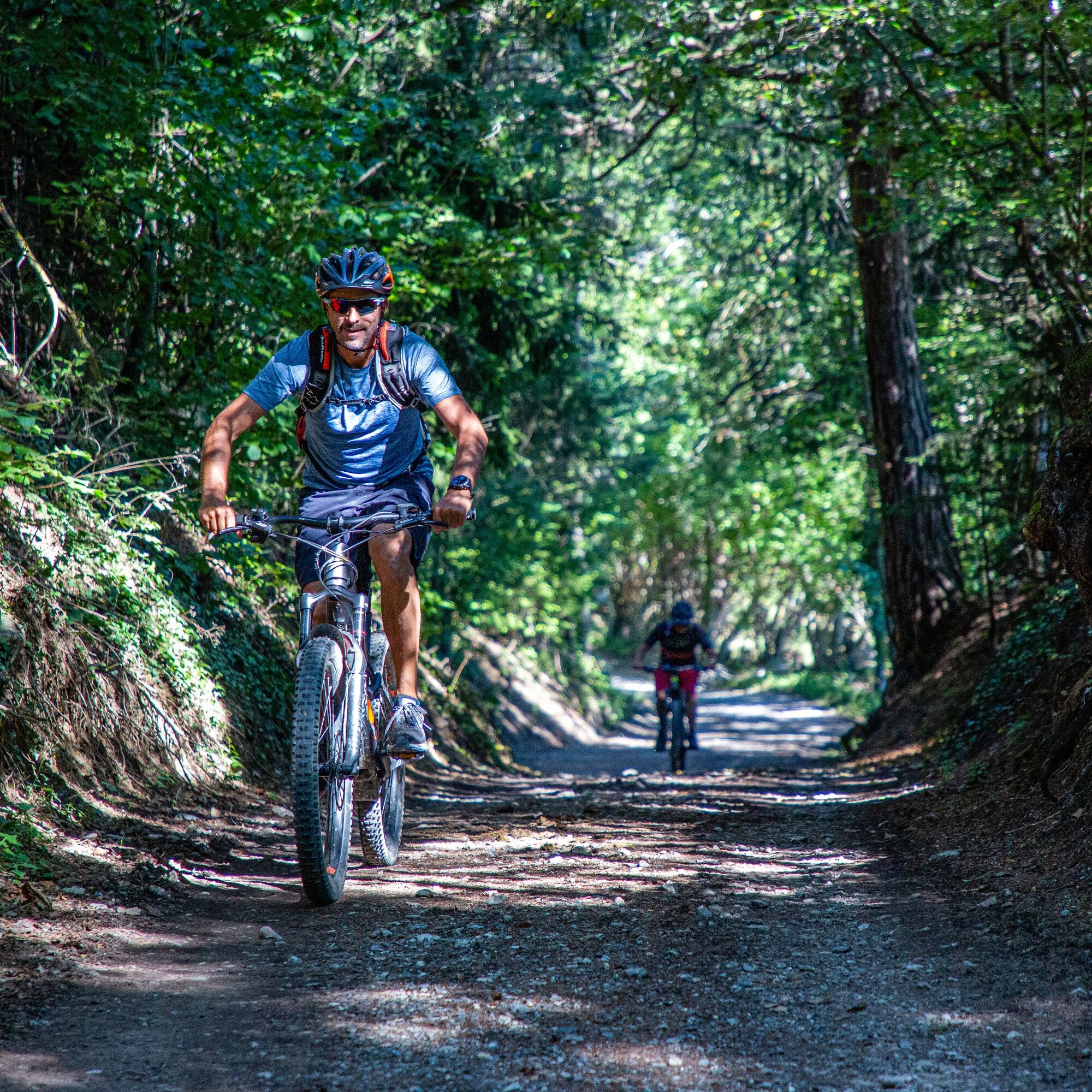

The route begins on the shore of Lake Moubra. It soon leaves the lakeside and heads towards Montana, gradually gaining elevation on easy, rideable roads and tracks. After crossing the resort, the route continues along the road towards the ski lifts, then turns left onto the Route de Plumachit just before the Violettes Express gondola valley station.
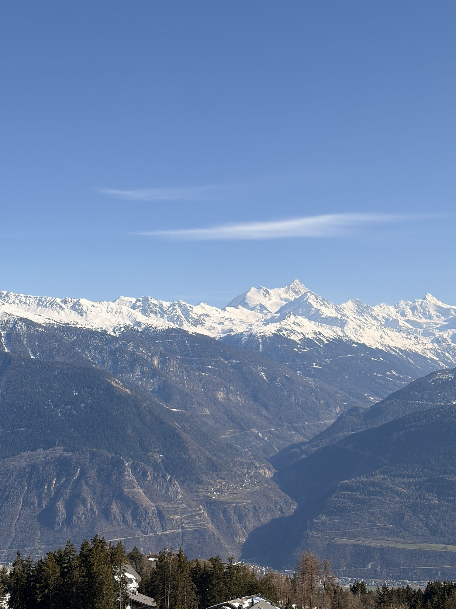
The climb continues for around 2 km before joining forest tracks, with occasional openings offering wide views across the Rhône Valley and towards the surrounding peaks. The route then passes through Marolires, the gondola’s mid-station, before continuing to Arnouva along a varied combination of tracks and trails.
The return towards Crans is mostly downhill. The route first reaches Lake Chermignon, then passes close to several residential areas and traditional alpine hamlets. From here, there is a short climb before the trail reaches Lake Miriouges and enters the Moubra forest. The final kilometres follow easy, shaded tracks back to the starting point on the shore of Lake Moubra.
Ano
Preparing for mountain bike outings
Best practice guidelines
When planning, take into account participants’ fitness level and ability. All riding is at one’s own risk.
From the A9 motorway exit Sierre-ouest, follow the signs for Crans-Montana (approx. 20–25 minutes), then head towards Montana-centre or ⚽🏇🎾🧗, ⛺, or Parc Aventure. Parking is available on site at Moubra.
From Sierre SBB/CFF train station, cycle to the SMC funicular station and take the funicular to “Crans-Montana, gare” (final stop, approx. 13 min, runs 3x/hour). After exiting the funicular:
Ride around 7 minutes to reach the starting point at Moubra.
Free SMC shuttle buses serve the entire Crans-Montana resort. The nearest stop is “Lac Moubra” (line 433 or 436).
Free parking is available at Moubra.
S0
Charging stations for electric bikes
The route includes an electric bike charging station. The most common rapid charging cables are available on site.
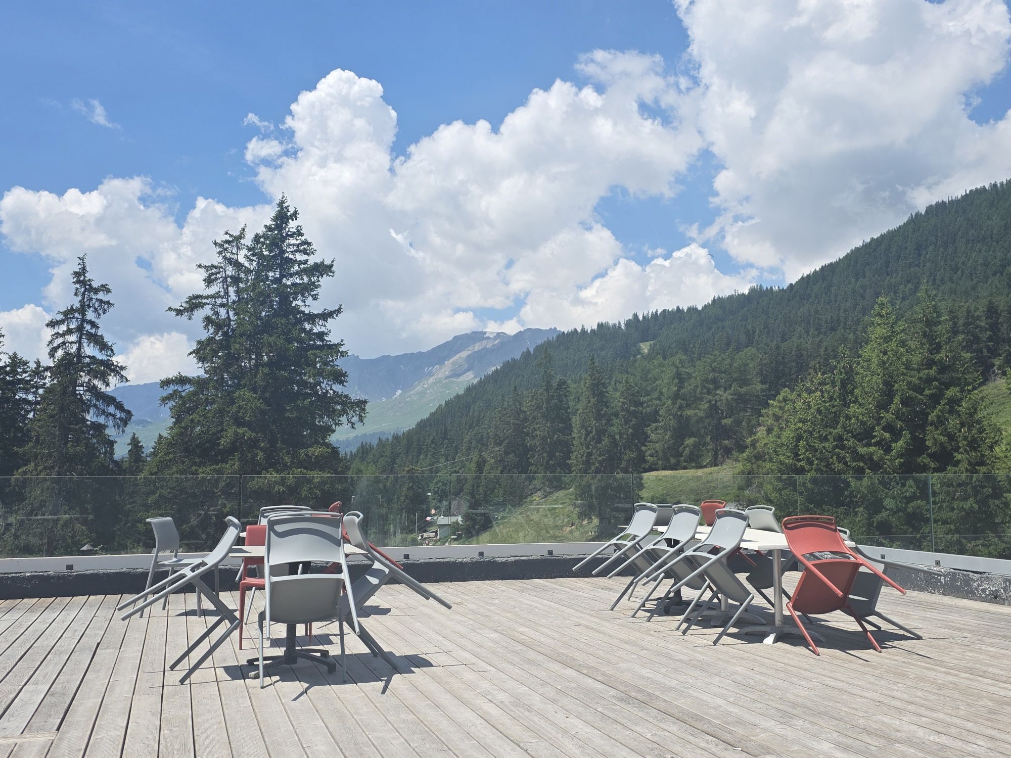
Take a break at a picnic spot or head to Moubra, an ideal place with plenty to enjoy, from the beach and sports centre to the accrobranch.
Získejte přehled
Vždy živě na místě s více než 9 500 webkamerami. bergfex Jako uživatel Pro si nyní můžete zobrazit odpovídající webové kamery pro mnoho prohlídek v aplikaci prohlídky z. Můžete si tak přímo prohlédnout aktuální podmínky.
Oblíbené prohlídky v okolí
-
5.0
Bisse du Ro
světloTuristika 11.2 km -
4.2
Grand Bisse de Lens
světloTuristika 8.73 km -
4.7
Leukerbad - Gemmipass - Lämmerenhütte
středníTuristika 9.49 km -
4.6
Lauenen - Höji - Bühlhaus Lauenensee
středníTuristika 9.03 km -
4.0
Gemmipass - Lämmerenhütte - Rote Totz Lücke - Daubensee - Gemmipass
středníTuristika 13.7 km -
5.0
Bella-Tola
středníVysokohorská turistika 6.72 km -
4.0
Tripon - Brac – Ancien Bisse du Torrent Neuf – St. Marguerite – Torrent Neuf – Prafirmin - St. Germain
světloTuristika 12.9 km -
5.0
Klettersteig Daubenhorn
heavyVia ferrata 5.34 km -
4.8
Leukerbad - Gemmipass
heavyTuristika 4.73 km -
5.0
Grand bisse d’Ayent
středníTuristika 11.7 km
Pěší turistika a stopování


Nenechte si ujít nabídky a inspiraci pro vaši příští dovolenou
Vaše e-mailová adresa byl přidán do poštovního seznamu.





