






Crans-Montana Marathon Bike

Úroveň obtížnosti: S3
Designed for seasoned riders, this route links ridgelines, forests and vineyards over demanding terrain with breathtaking scenery throughout. Starting at the edge of Lake Moubra, the trail climbs towards...
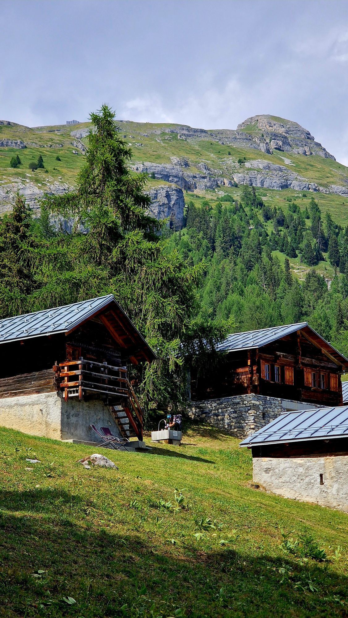
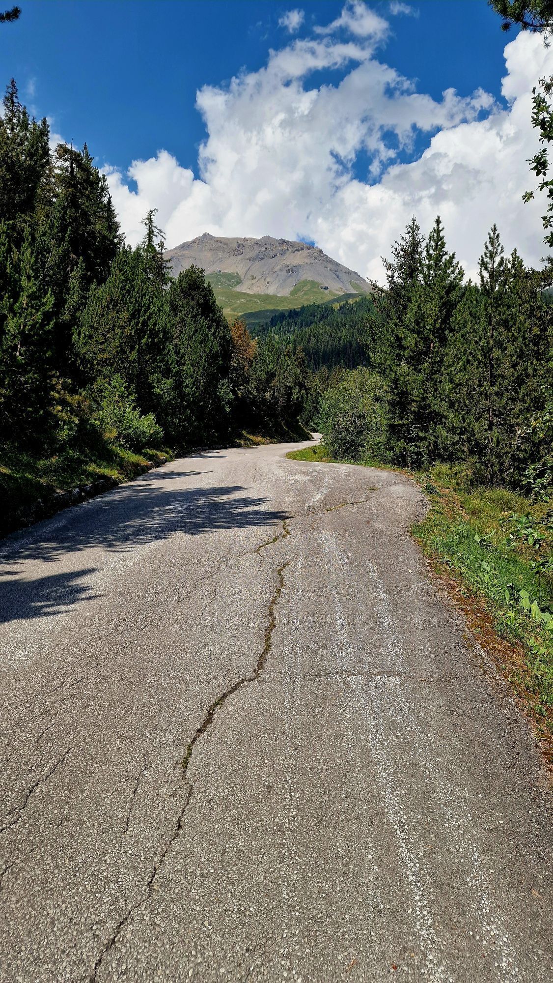
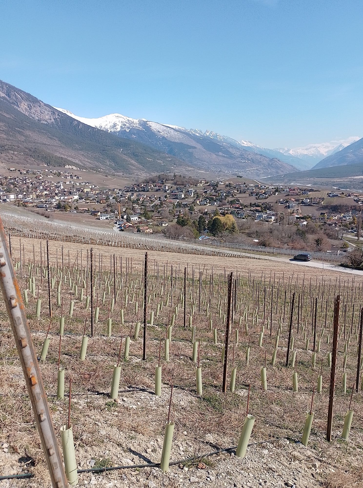
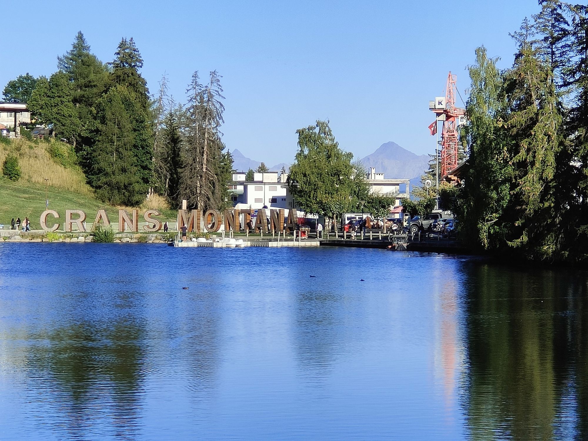
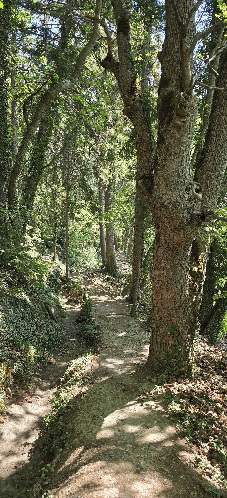
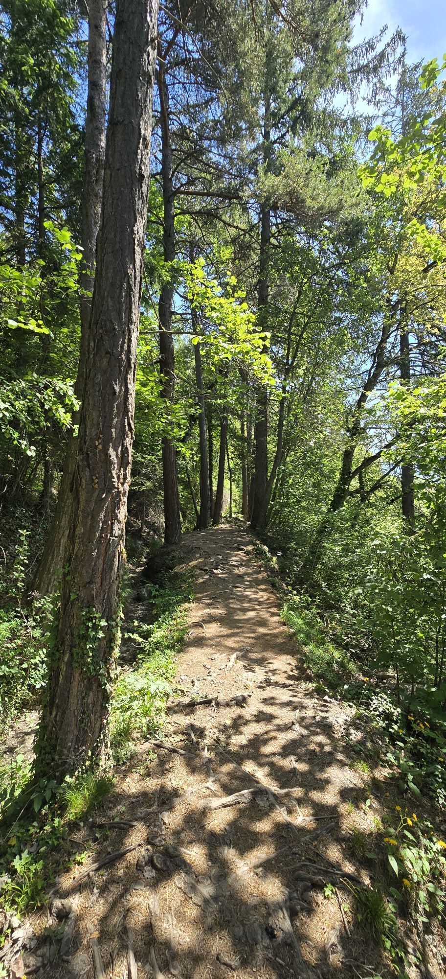
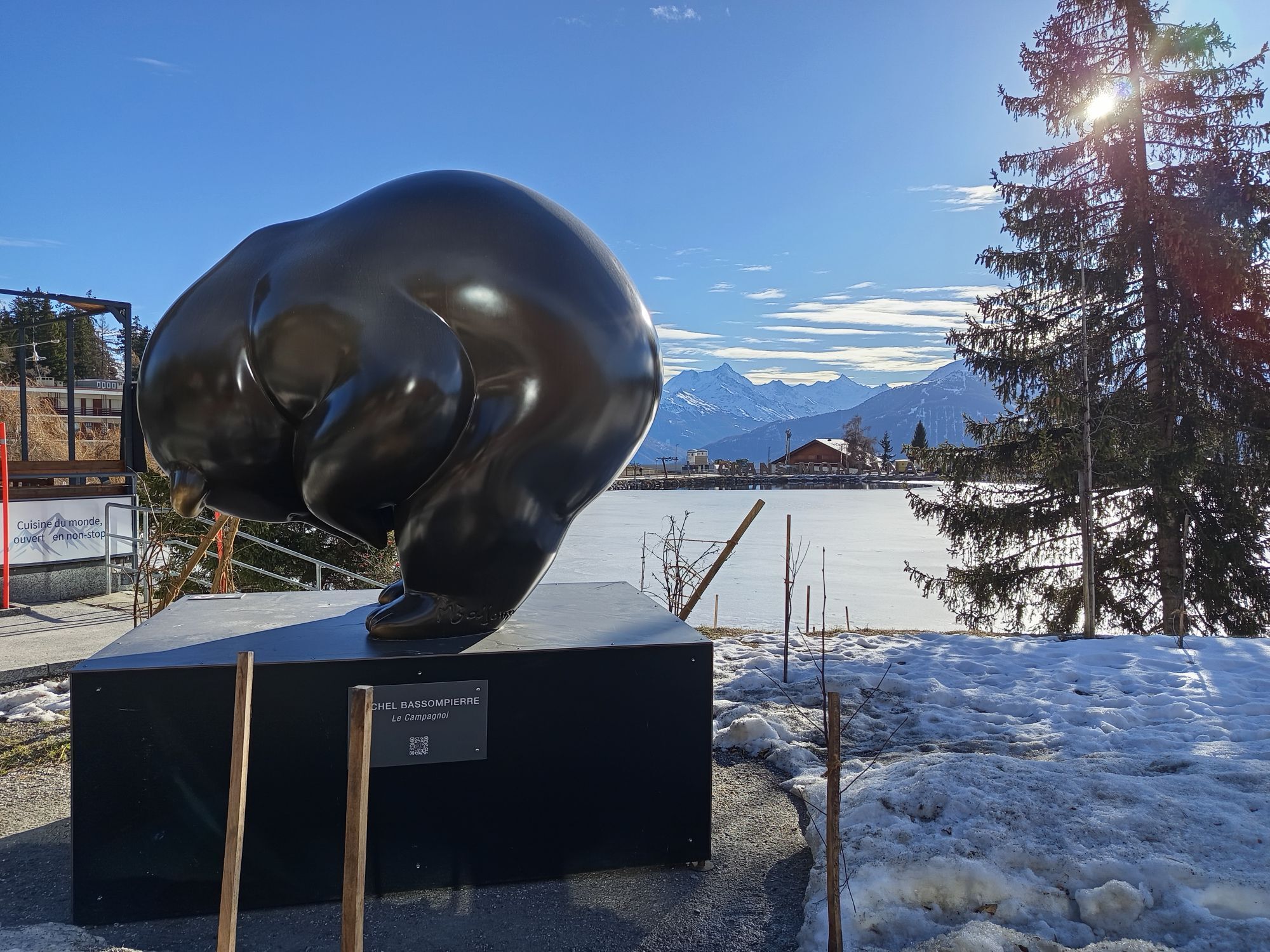
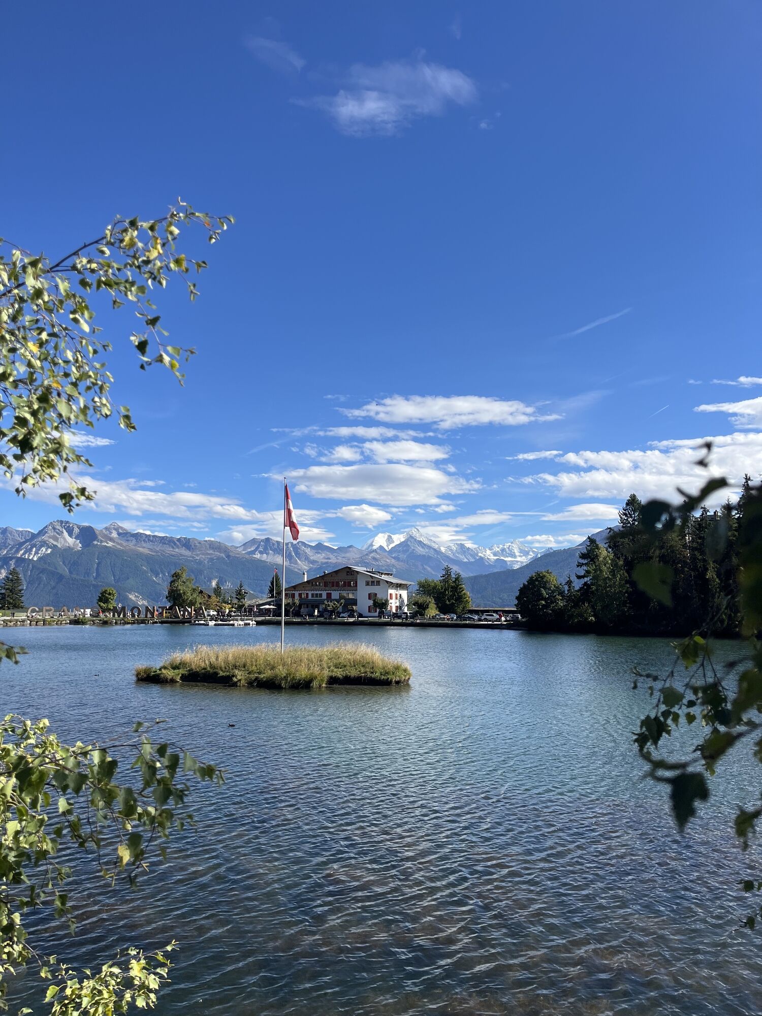
Designed for seasoned riders, this route links ridgelines, forests and vineyards over demanding terrain with breathtaking scenery throughout. Starting at the edge of Lake Moubra, the trail climbs towards Arnouva via Lake Chermignon. The descent to Marolires crosses the famous "Nationale" ski slope, then continues through the peaceful woods of Courtavey and Colombire, offering spectacular Alpine views. The ascent to La Tièche reveals a wild and dramatic landscape, shaped by waterfalls, streams and open ridges. The technical descent, featuring several challenging sections, then dives into the forest down to Venthône, followed by a flowing section through sun-drenched vineyards. The return passes through the traditional Valais villages of Chermignon-d’en-Bas, Lens and the upper reaches of Icogne, with a final traverse below Crans. A full-length marathon ride that blends pace, technical effort and unforgettable views.

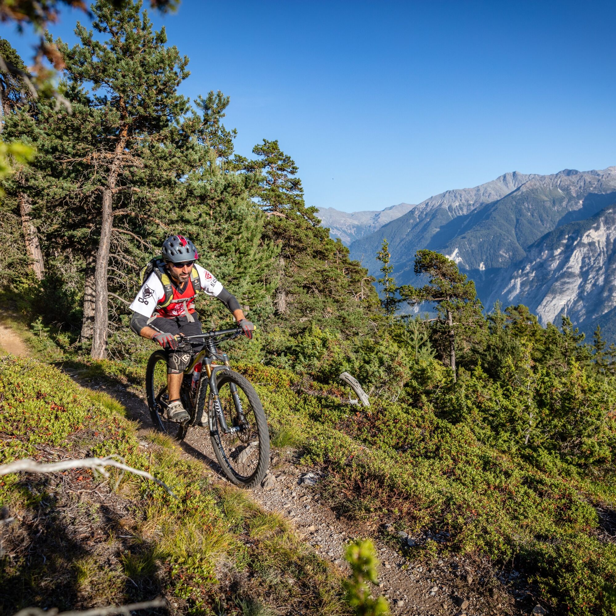
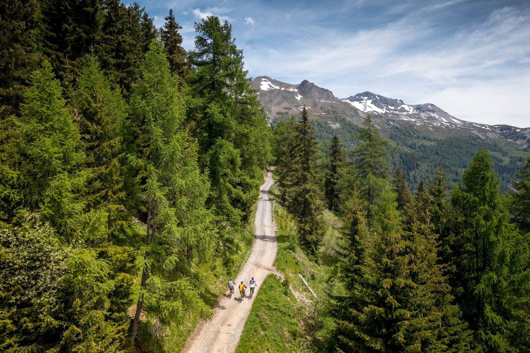
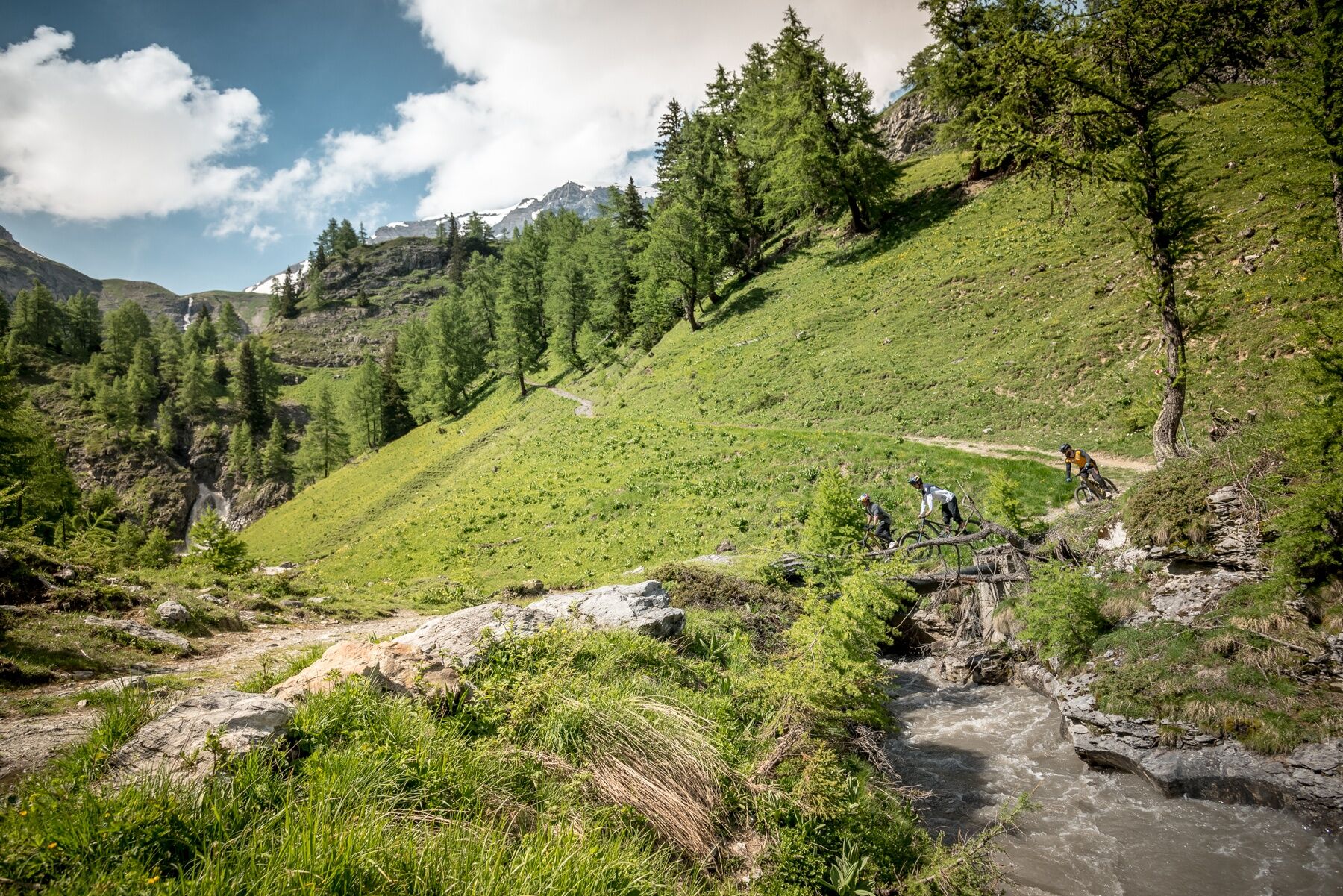
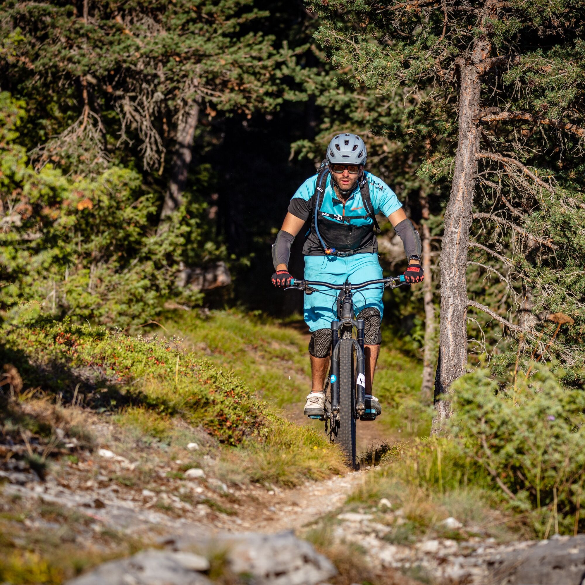
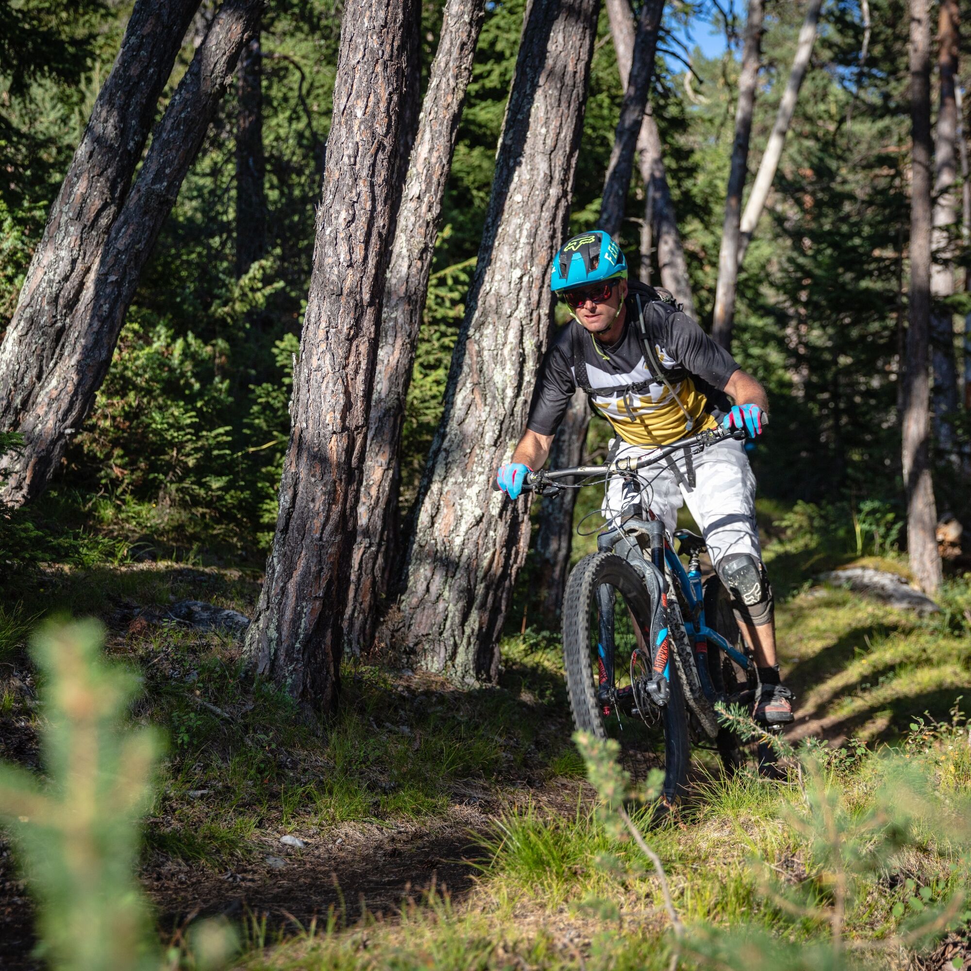
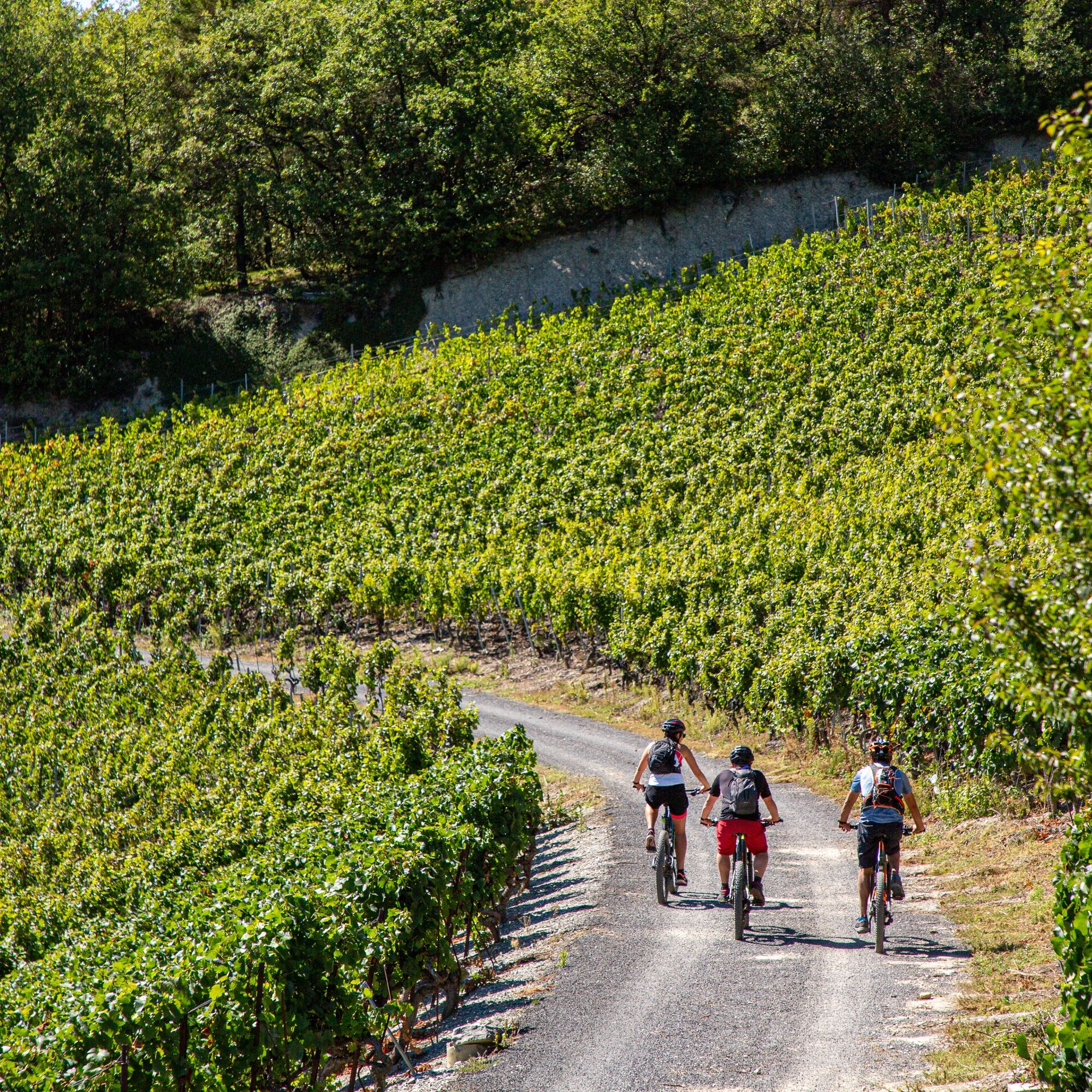
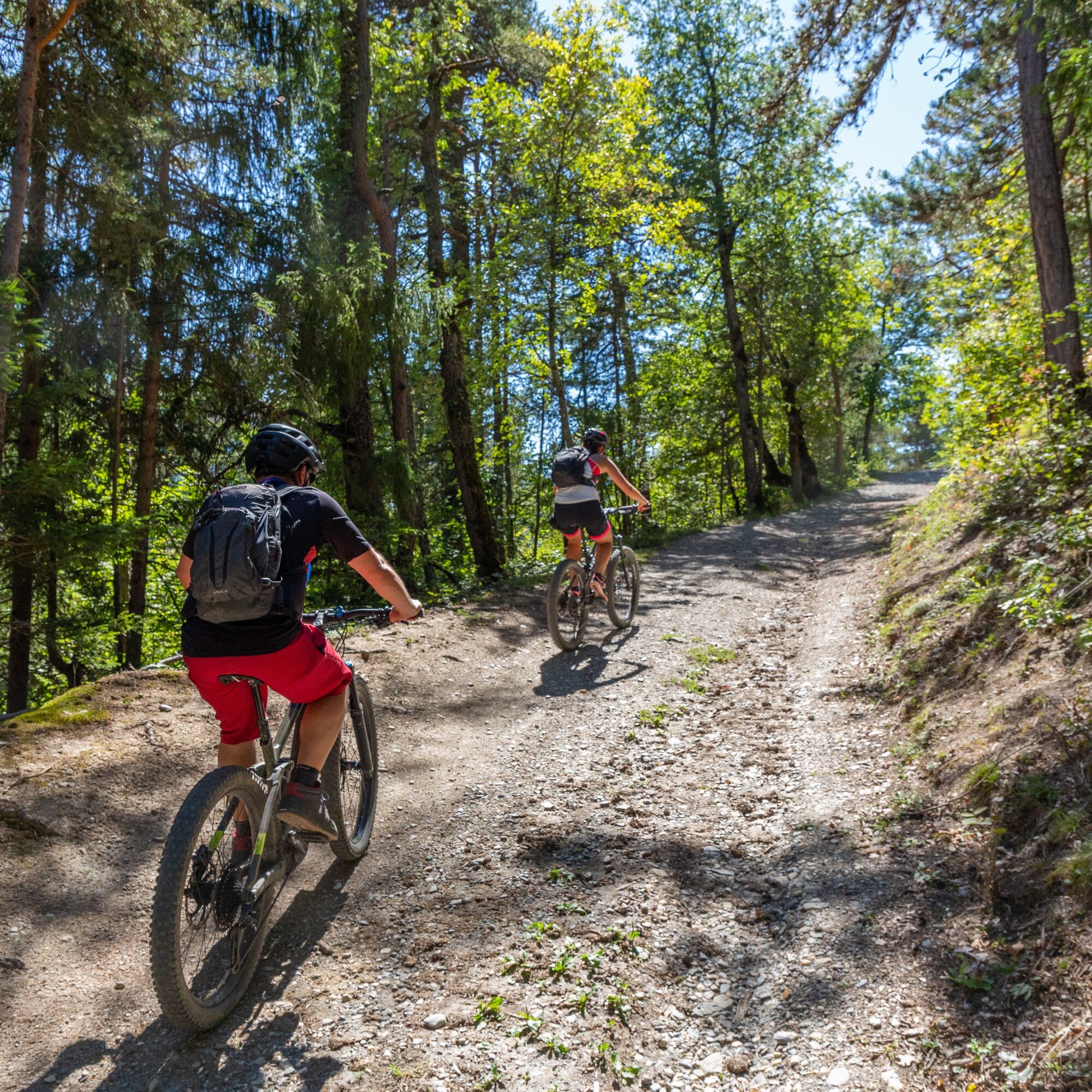

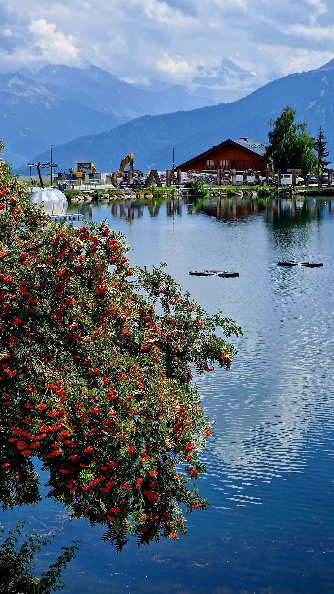
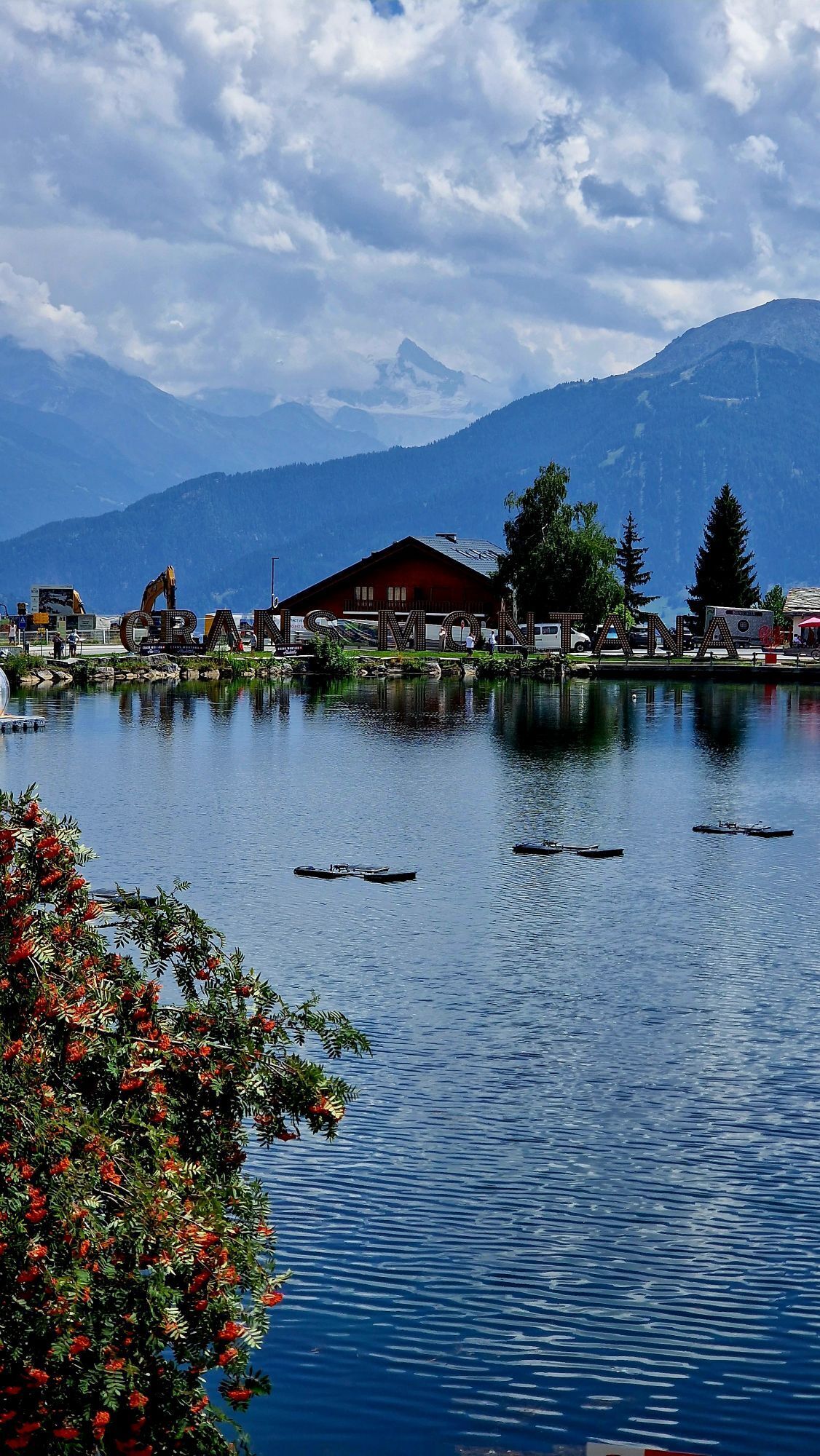
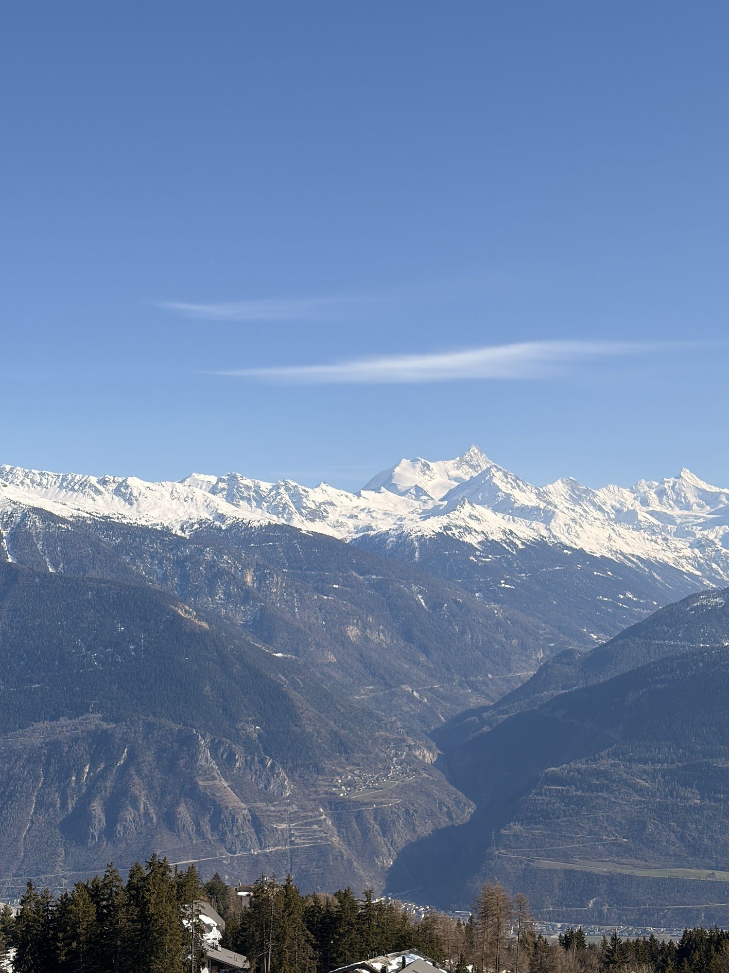
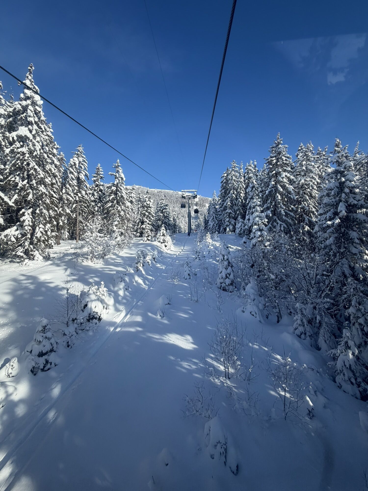
The many small, idyllic lakes in and around the mountain village of Crans-Montana characterise the first section of the route. It undulates gently on Alpine roads and single trails. The descent to Les Marolies takes you over the famous “Nationale” slope, which has been hosting international ski races since the 1970s. The route slowly winds out of the ski resort, away from lifts and cable cars, and plunges into the forests of Courtavey and Colombire. The panoramic views of the Rhone Valley and the surrounding 4,000-metre Valais peaks accompany you almost throughout this section.
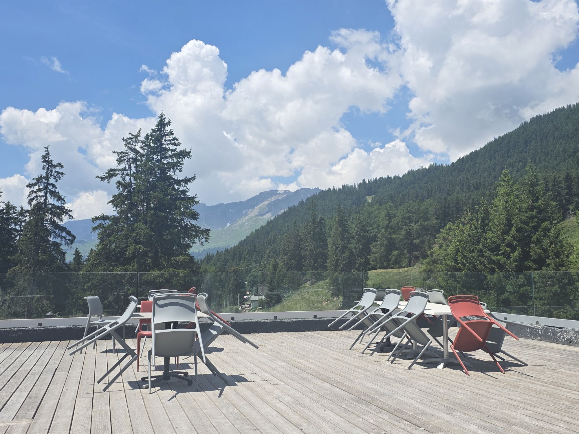
The Cabane de la Tièche marks the highest point of the Marathon Bike route. It’s worth stopping for a break here and taking in the view of the surrounding peaks: The Weisshorn, Zinalrothorn, Matterhorn and Dent Blanche create an impressive, glaciated horizon on the opposite side of the valley.
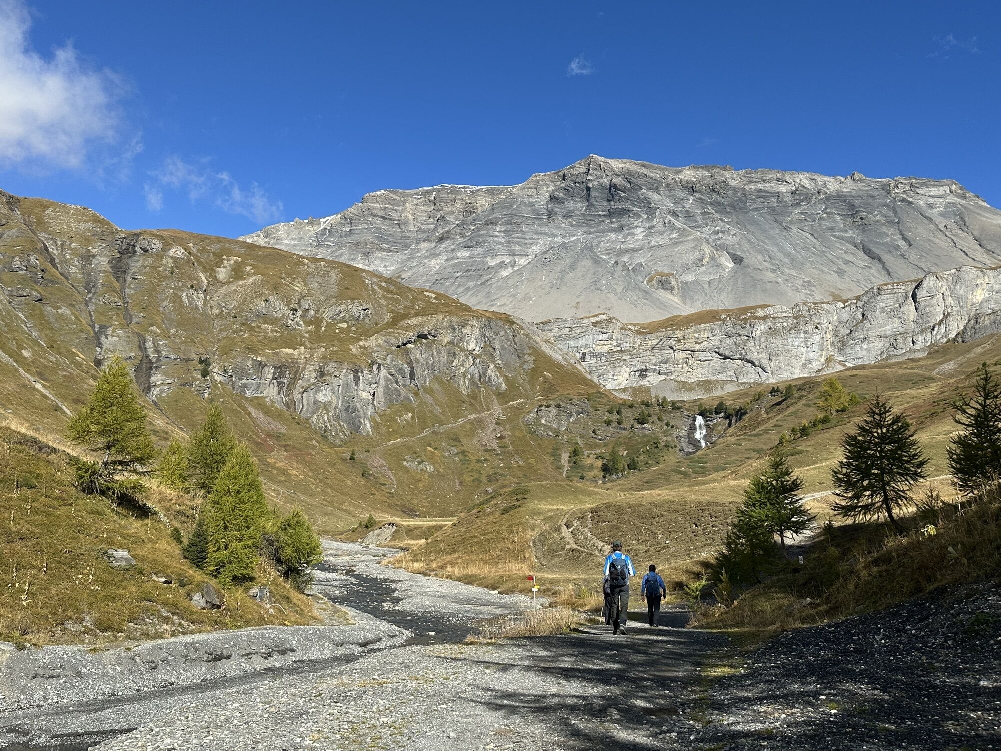
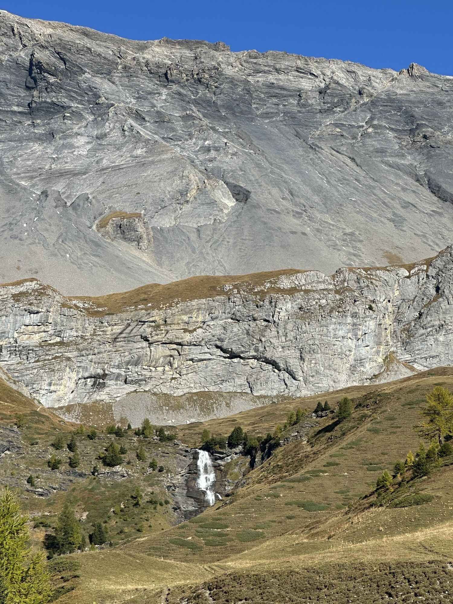
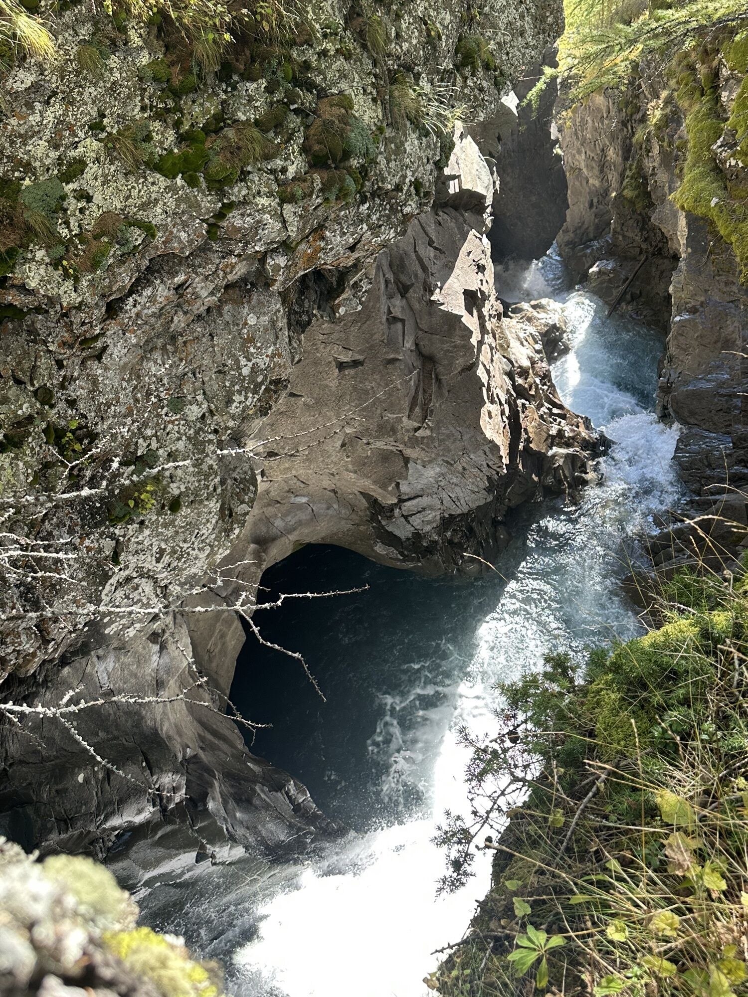
The descent takes you into the wild La Tièche glacial valley, which is surrounded by a striking rock basin. La Tièche is a headwater, with gushing mountain streams, waterfalls, extensive pastures, forests and unspoilt nature. The landscape changes on the long technical descent. The initially dense fir forest becomes an open area of pines with a dry climate, as many people would recognise from the Mediterranean region. Larch forests dominate to begin with, and then sunny vineyards and small wine-making villages.
Wine-making culture is a long-standing tradition in the region. The landscape features carefully placed drystone walls and sunny slopes. The villages – with their historic buildings, vaulted cellars and narrow passageways – have maintained their original character. The loop ends at the Etang de la Moubra lake. The route is technically and physically challenging but rewarding, with a great deal of variety and a range of landscapes – a real marathon experience.
Preparing for mountain bike outings
Best practice guidelines
When planning, take into account participants’ fitness level and ability. All riding is at one’s own risk.
Some sections of the trails are shared with walkers, dog owners, horse riders and others. For a safe and pleasant experience for everyone, please ride considerately: control your speed, give way to pedestrians, and always be courteous.
See the route on SuisseMobile: https://schweizmobil.ch/en/mountainbiking-in-switzerland/route-184
From the A9 motorway exit Sierre-ouest, follow the signs for Crans-Montana (approx. 20–25 minutes), then head towards Montana-centre or ⚽🏇🎾🧗, ⛺, or Parc Aventure. Parking is available on site at Moubra.
From Sierre SBB/CFF train station, cycle to the SMC funicular station and take the funicular to “Crans-Montana, gare” (final stop, approx. 13 min, runs 3x/hour). After exiting the funicular:
Ride around 7 minutes to reach the starting point at Moubra.
Free SMC shuttle buses serve the entire Crans-Montana resort. The nearest stop is “Lac Moubra” (line 433 or 436).
Free parking is available at Moubra.
S3
Preparing for mountain bike outings
You can shorten the loop by taking the funicular at Venthône.
Webové kamery z prohlídky

Oblíbené prohlídky v okolí
- 5.0
Bisse du Ro
světloTuristika 11.2 km - 4.6
Leukerbad - Gemmipass - Lämmerenhütte
středníTuristika 9.49 km - 4.2
Grand Bisse de Lens
světloTuristika 8.73 km - 4.8
Leukerbad - Gemmipass
heavyTuristika 4.73 km - 4.0
Gemmipass - Lämmerenhütte - Rote Totz Lücke - Daubensee - Gemmipass
středníTuristika 13.7 km - 5.0
Bella-Tola
středníVysokohorská turistika 6.72 km - 5.0
Torrenthorn- Rigi der Walliser Alpen
Turistika 2.99 km - 5.0
Klettersteig Daubenhorn
heavyVia ferrata 5.34 km Gratweg
Via ferrata 5.16 km- 5.0
Grand bisse d’Ayent
středníTuristika 11.7 km
Pěší turistika a stopování


Nenechte si ujít nabídky a inspiraci pro vaši příští dovolenou
Vaše e-mailová adresa byl přidán do poštovního seznamu.





