


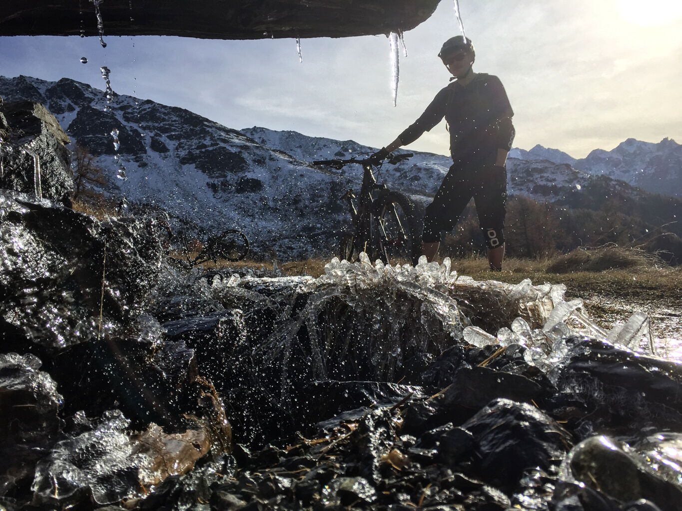
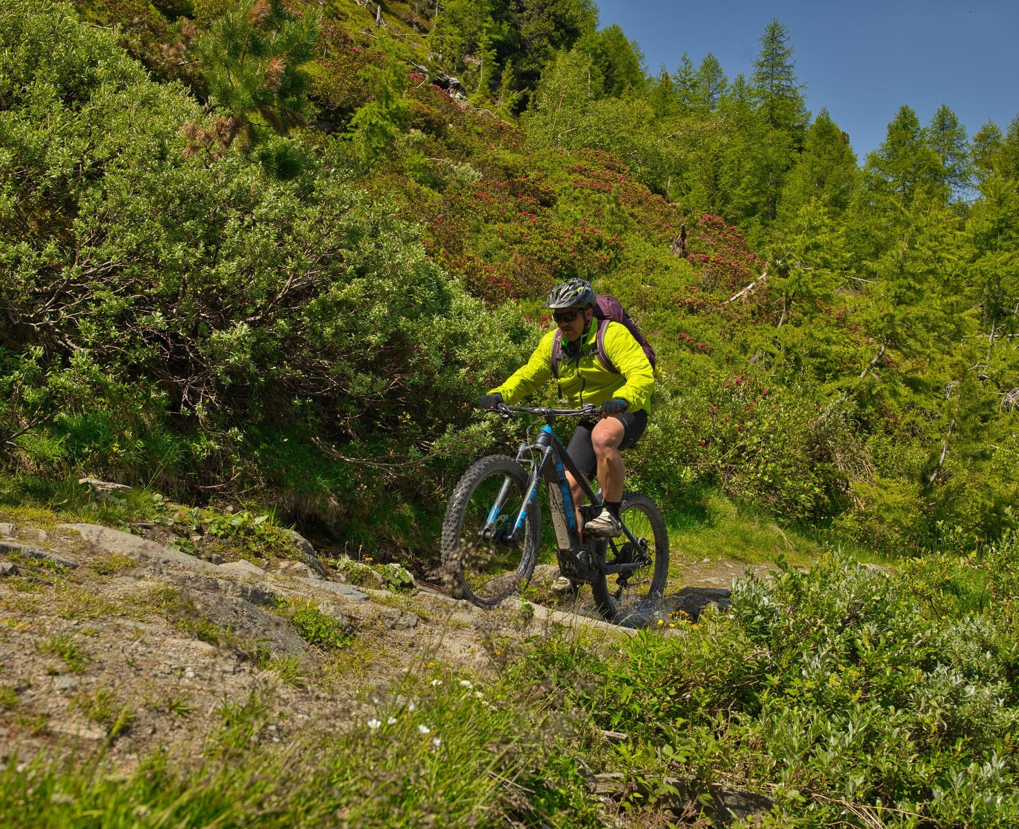
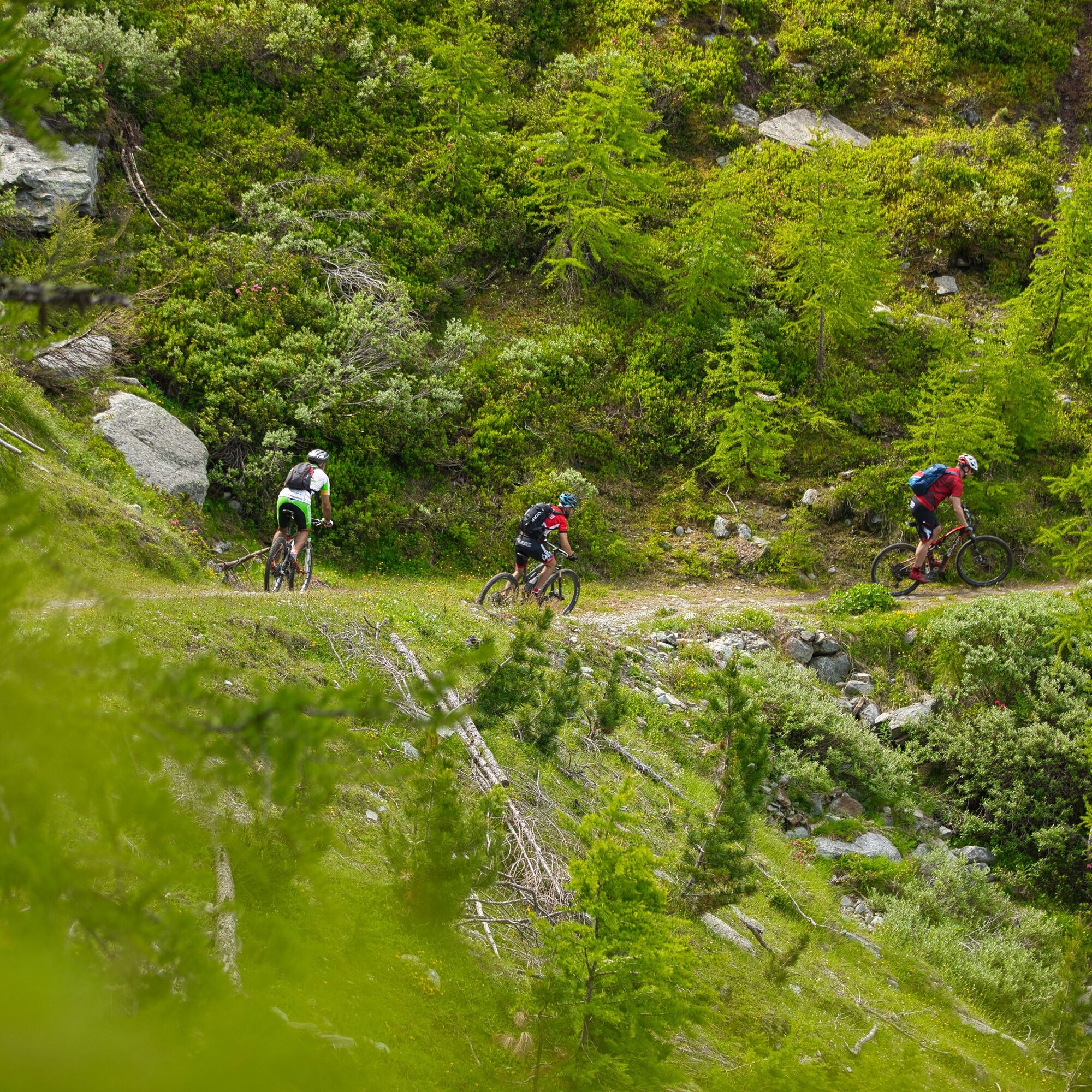
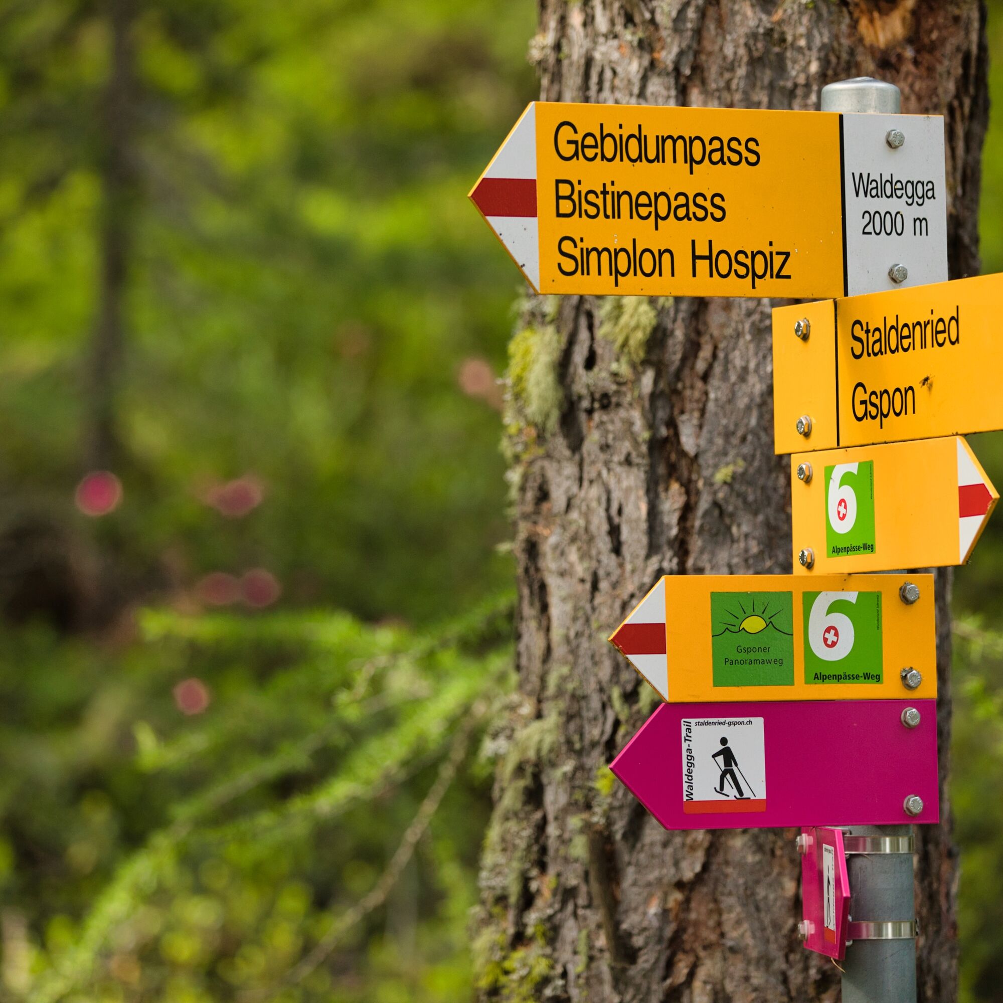
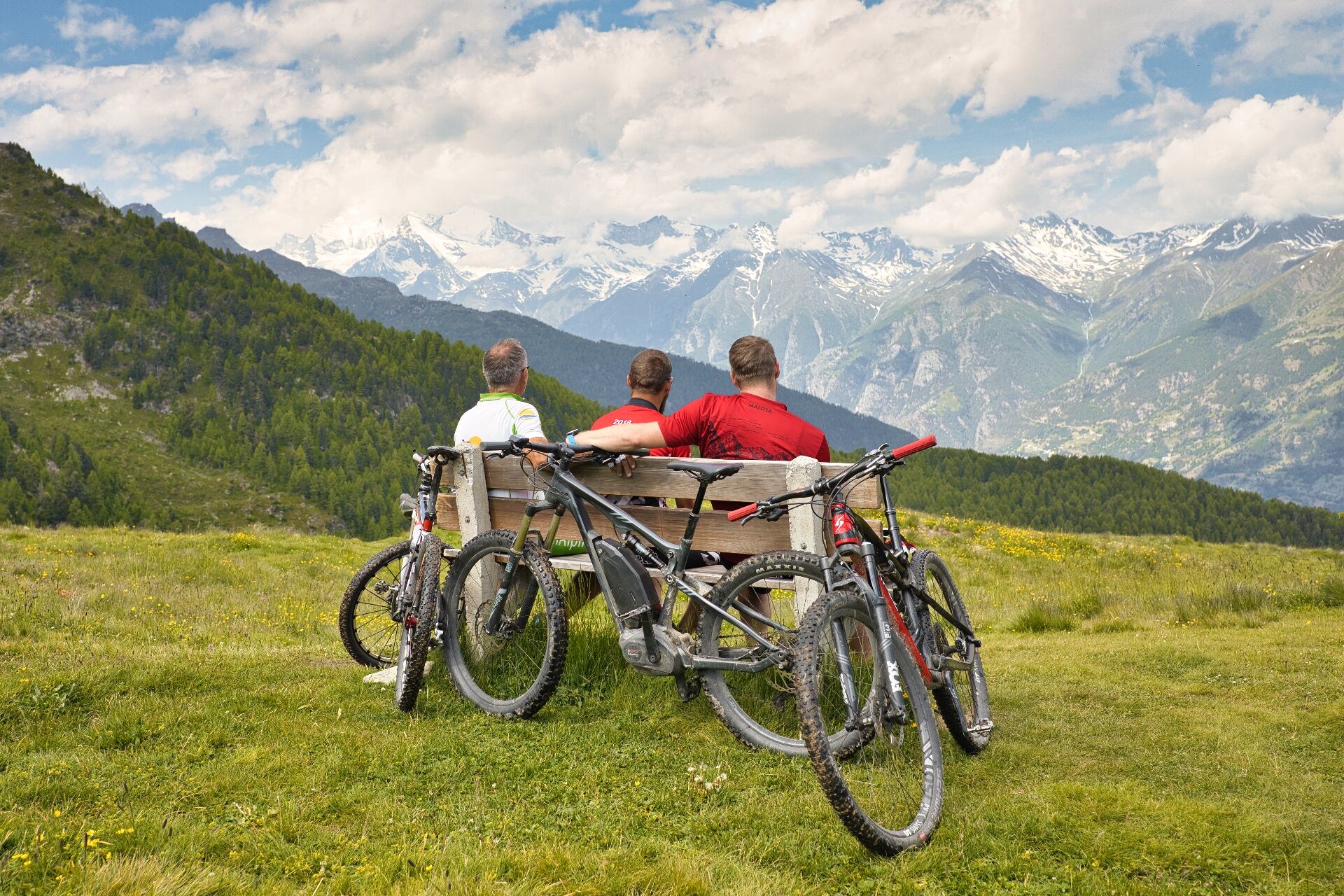
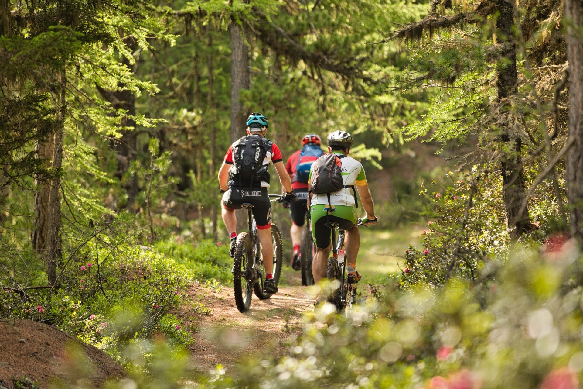
Gspon Loop
Úroveň obtížnosti: S1
From Stalden, you can reach Gspon in a few minutes by aerial cableway. From the mountain station, it’s a short and steep ascent to the football field. From there, the path continues on a wide trail with...
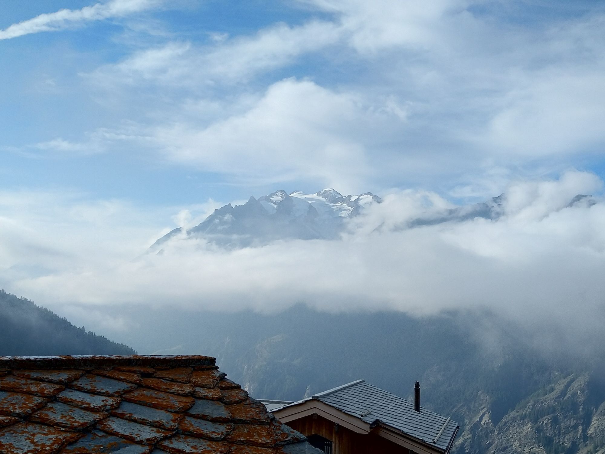
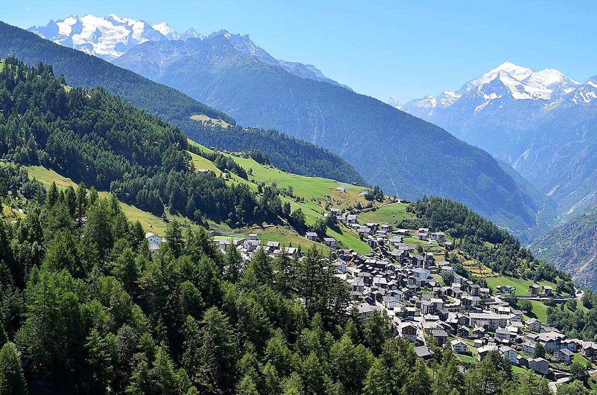
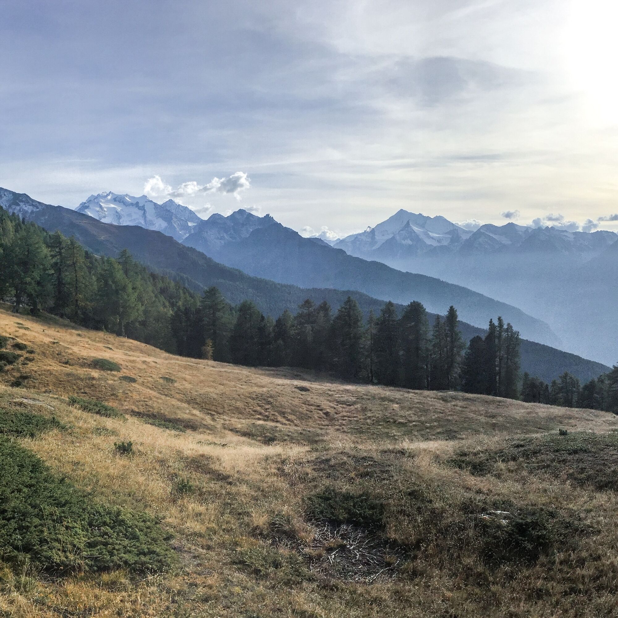
From Stalden, you can reach Gspon in a few minutes by aerial cableway. From the mountain station, it’s a short and steep ascent to the football field. From there, the path continues on a wide trail with a few curves at an altitude of about 2,000 meters. From there, it continues on a great trail section to just before the "Sädolti" area. Here, you have to master two very challenging climbs. Next, it goes briefly downhill to the "Sitgrabe" and then rises slightly to the "Sitestafel." From here, it continues left to the "Giw" mountain station. From "Giw," the rooty trail follows the old toboggan run downhill and ends on the "Kappellenweg" through a dense forest section down to Visperterminen. The alpine village Visperterminen is known for its culinary specialties and the impressive historic buildings. The circular route leads through the old village part towards Hohbiel to the hamlet Unnerbrunnu and from there on a beautiful trail with one climb and a short descent up to Riedji. From Riedji, you still have to overcome about 400 meters of elevation on the forest road back to the starting point in Gspon. If you prefer, you can also take the train from Staldenried to Gspon. As a crowning conclusion to the route, a visit to the Alpenblick restaurant in Gspon is recommended.

Our recommendation: A technically flawless bike, helmet, gloves, and bell, clothing suitable for the weather (always carry rain protection), drinks, and food.
By train or bus from Visp to Stalden-Saas, then by aerial cableway to Gspon.
In both Stalden and Staldenried, you have various parking options.
https://www.stalden.ch/sites/verkehr-umwelt/parkmoeglichkeiten
S1
Oblíbené prohlídky v okolí
-
3.8
Höhenweg Saas-Fee - Grächen
Turistika 12.0 km -
5.0
Moosalp Panoramaweg
světloTuristika 6.36 km -
5.0
Via ferrata Jägihorn
heavyVia ferrata 6.14 km -
CIRCULAR HIKE MASSEGGA SUSPENSION BRIDGE
světloTuristika 6.44 km -
4.0
NATICHERBERG CIRCULAR TRAIL
středníTuristika 12.1 km -
4.0
Höhenwanderung Rosswald
světloTuristika 6 km -
4.5
Saas Fee - Bärenfalle - Melchboden - Hannigalp
středníTuristika 8.38 km -
Kinderwanderweg MoosAlbi uns seine Waldtiere
světloTuristika 3.50 km -
Panoramaweg Visperterminen
světloTuristika 9.72 km -
Chapel path Visperterminen and Bodmeri Suone
středníTuristika 9.30 km
Pěší turistika a stopování


Nenechte si ujít nabídky a inspiraci pro vaši příští dovolenou
Vaše e-mailová adresa byl přidán do poštovního seznamu.