




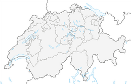


Mattsand Enduro

Úroveň obtížnosti: S1
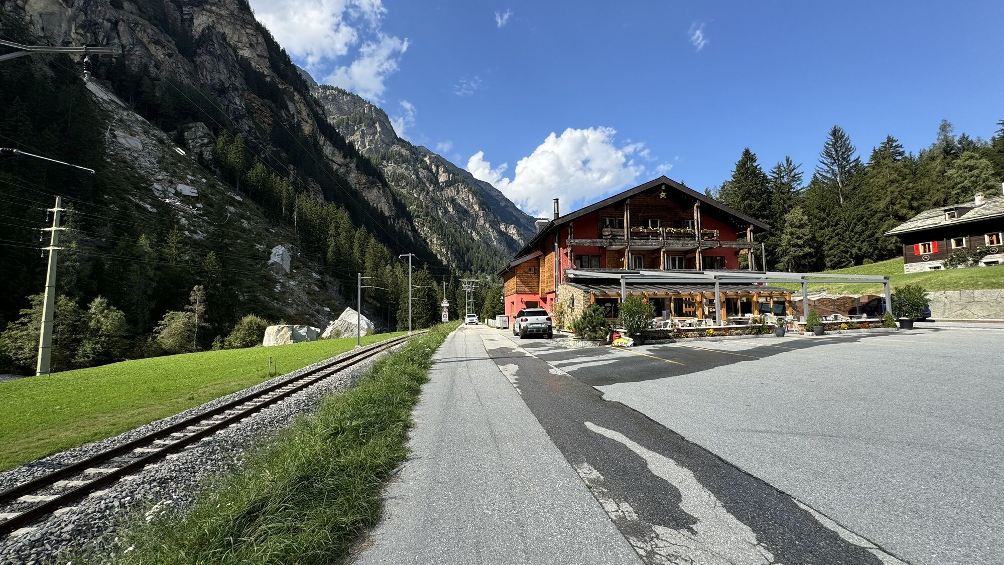
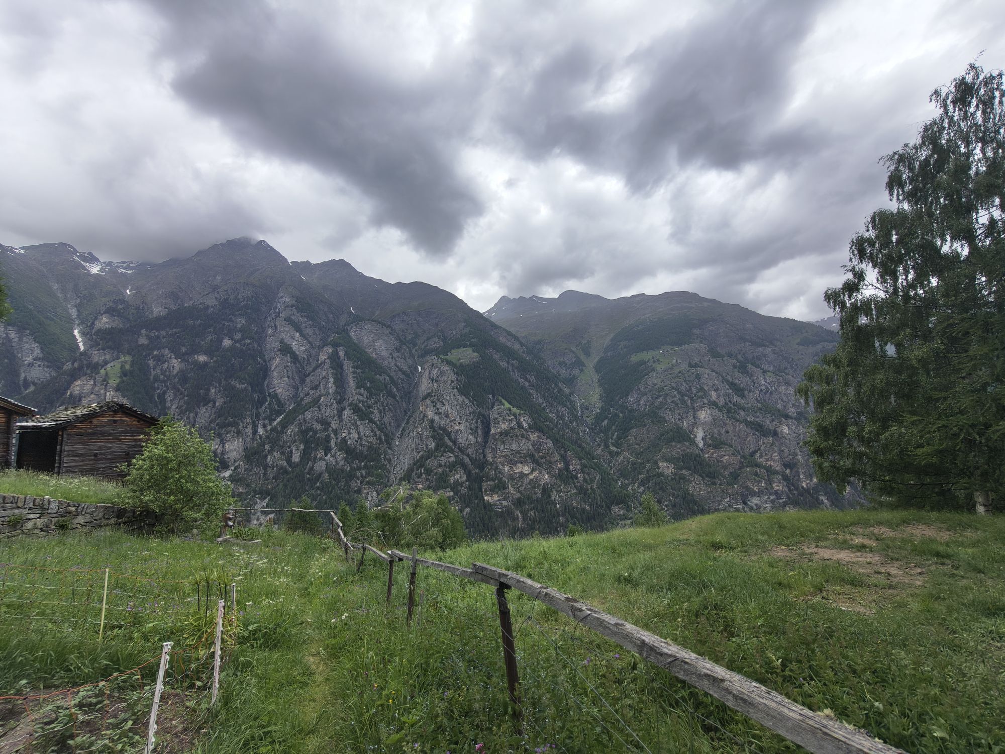

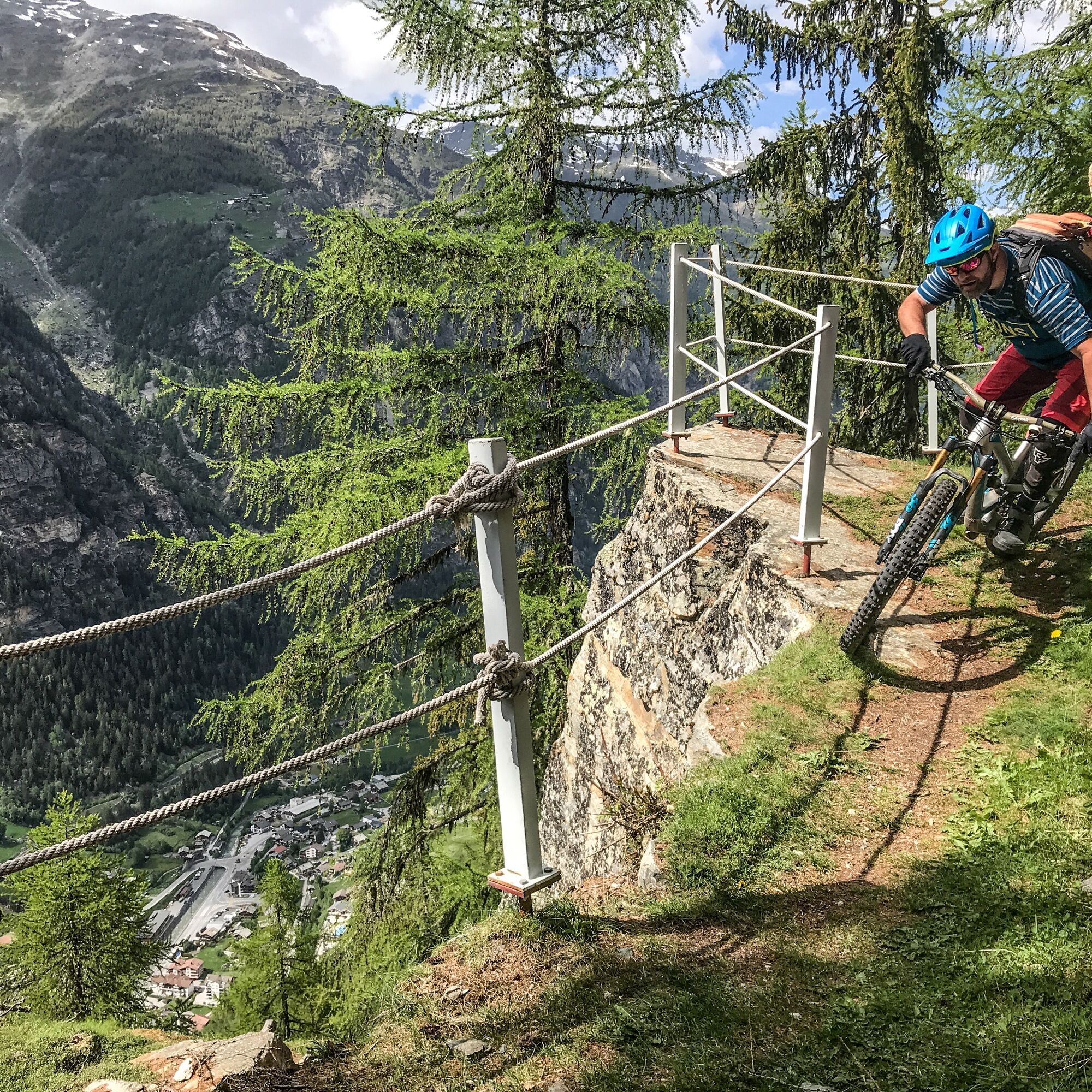
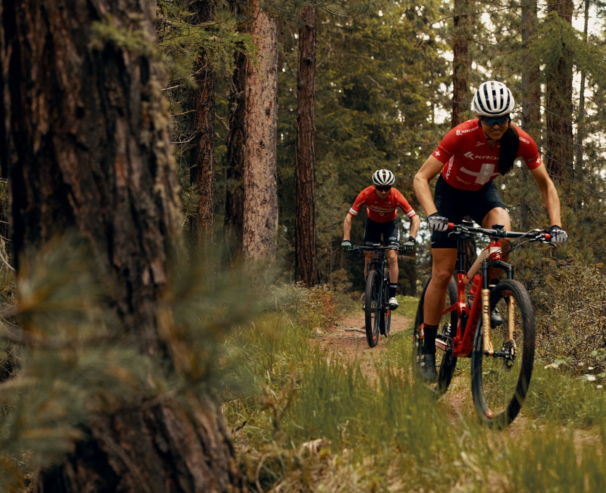
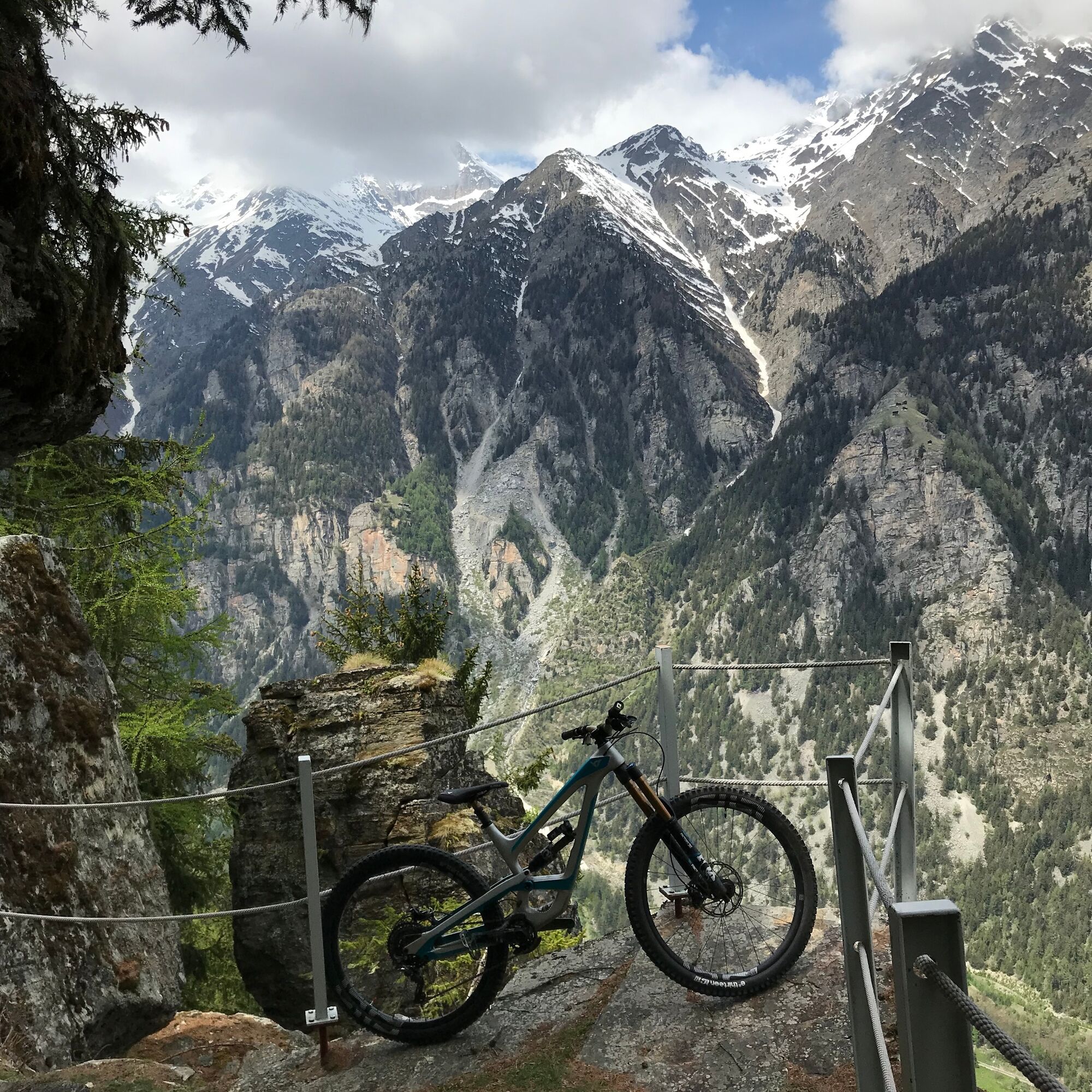

The route starts in the middle of Grächen and first leads via Gasenried to “Schalbettu”. The path is slightly ascending, partly on gravel roads, and passes through a very beautiful forest. From “Schalbettu” you cross the Riedbach and after a few hundred meters on the gravel road, it leads into a wonderful trail. This initially follows about 2 km along the contour lines into the Mattertal. The view is breathtaking and shaped by a high alpine mountain world. Some classics such as the Weisshorn and the Zinalrothorn stand out impressively and promise a great experience. At the “Balmu” area, the descent starts and the trail fun begins. The singletrail is versatile, varied and of the best quality. Trail fun is guaranteed up to Mattsand and from there the connection back to St. Niklaus on the Visp-Zermatt trail (No. 150) is given.
Ano
S1
View this route on SwitzerlandMobility : No. 544 Mattsand Enduro
The mountain restaurant Hannigalp with its indoor playground "SISU Wolkenland"
Webové kamery z prohlídky

Oblíbené prohlídky v okolí
-
4.9
Allalinhorn vom Mittelallalin über Normalweg
středníVysokohorská turistika 6.15 km -
4.9
Moosalp Panoramaweg
světloTuristika 6.36 km -
3.6
Höhenweg Kreuzboden - Almagelleralp - Saas-Almagell
Turistika 9.74 km -
3.3
Europaweg Grächen - Europahütte - Zermatt
heavyTuristika 39.9 km -
3.5
Waldweg Saas-Fee - Saas-Almagell
Turistika 2.83 km -
5.0
Via ferrata Jägihorn
heavyVia ferrata 6.14 km -
4.8
Marmot mountain path Spielboden
středníTuristika 3.89 km -
3.8
Höhenweg Saas-Fee - Grächen
Turistika 12.0 km -
4.5
Ibex path
středníTuristika 9.02 km -
5.0
Mountain trail Kreuzboden - Hohsaas
středníTuristika 4.65 km
Pěší turistika a stopování


Nenechte si ujít nabídky a inspiraci pro vaši příští dovolenou
Vaše e-mailová adresa byl přidán do poštovního seznamu.





