


Grimsel Bike
Úroveň obtížnosti: S1

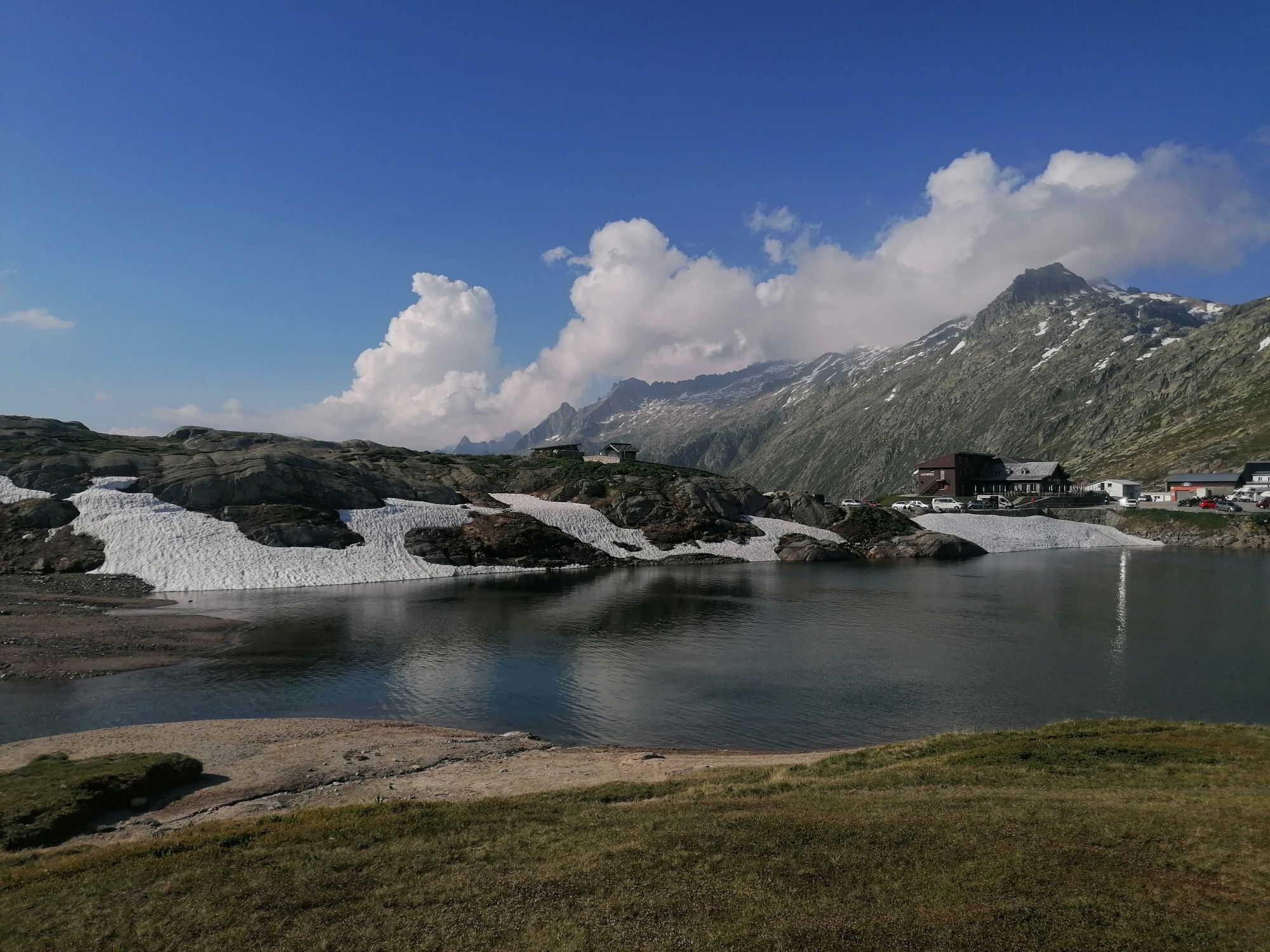
Before you get on the bike, take the bus to the start of the route on Grimsel Pass. A legendary Alpine pass at over 2000 meters altitude. The beautiful and natural surroundings never cease to impress....
Before you get on the bike, take the bus to the start of the route on Grimsel Pass. A legendary Alpine pass at over 2000 meters altitude. The beautiful and natural surroundings never cease to impress. And if you are not a fan of strenuous climbs, then the Grimsel Bike route is just right for you.

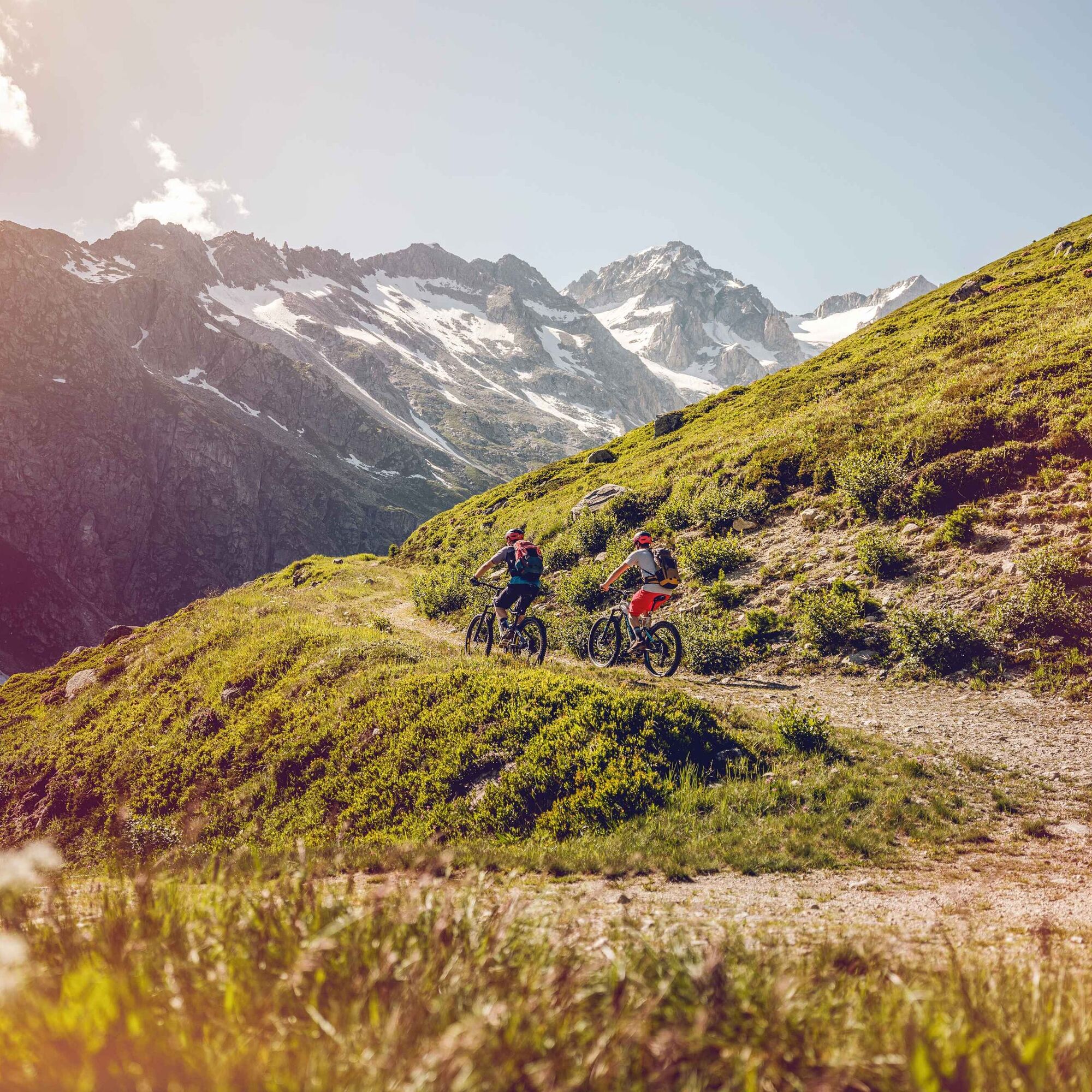
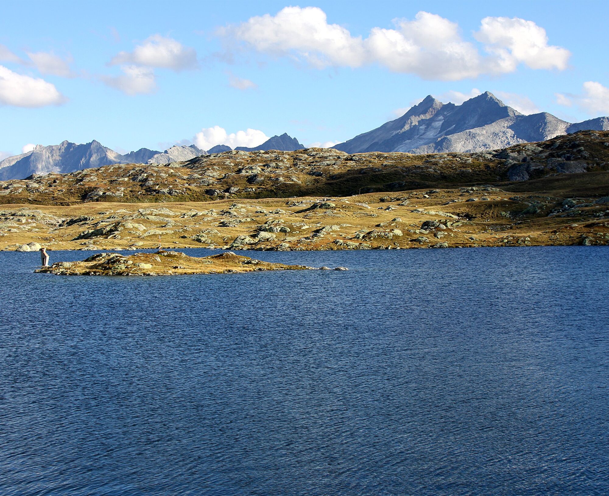
The start is at the Grimsel Pass. The destination lies 11 kilometers and 800 meters lower down in Obergesteln. Perfect for mountain bikers who prefer going downhill rather than uphill. Up to Unnerbrunnji, you follow the tracks of the pack animals that transported goods between Northern and Southern Europe along this route. So you are riding on historic roads. The descent continues through a larch forest down to Obergesteln.
Ano
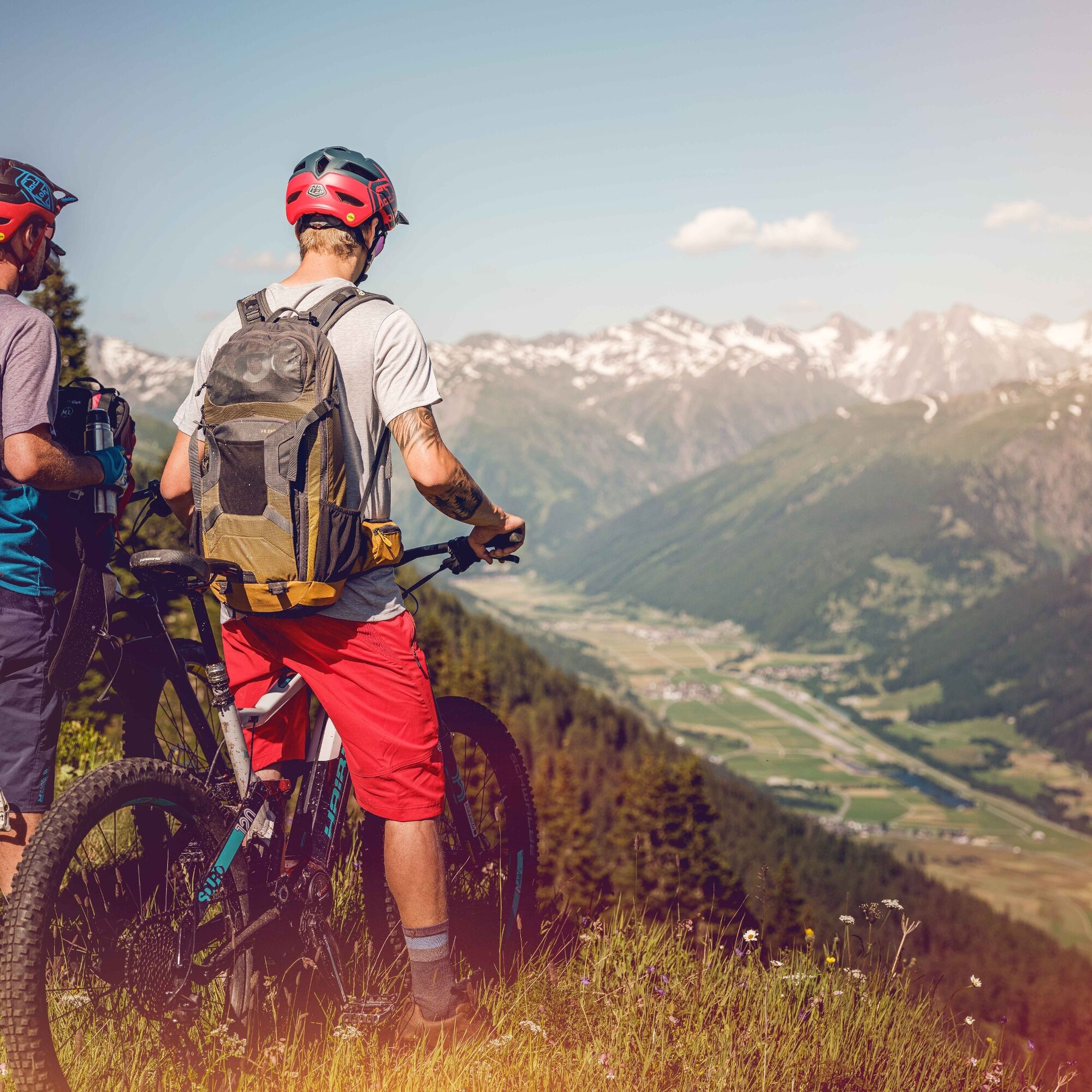
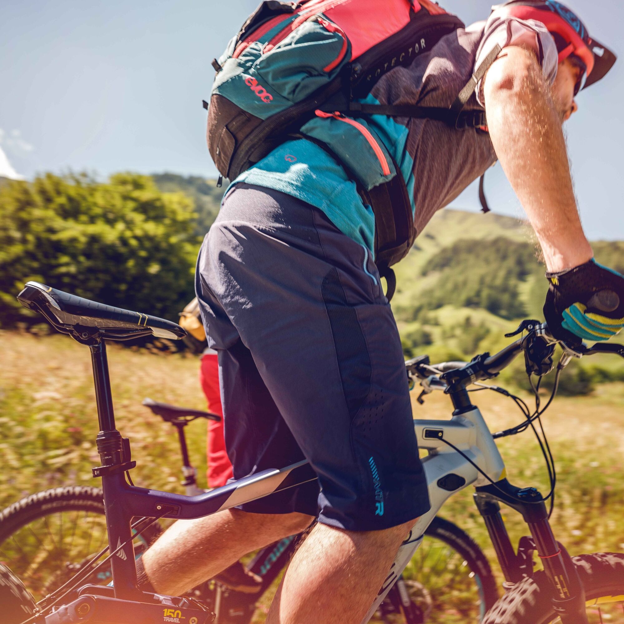
Our recommendation: Technically flawless bike, helmet, gloves and bell, weather-appropriate clothing depending on conditions (always bring rain protection), drink and food.
The mountains, a place of joy to share and respect. The mountain world is a place to meet and experience unforgettable moments together – whether by bike or on foot. To ensure all users can benefit, it is essential to share this space with respect for nature and agriculture. Respectful behavior enables everyone to enjoy their recreational activities under the best conditions. Inform yourself about recommendations and rules.
Assess your own skills and fitness well. Riding the different routes is fundamentally at your own risk.
From Brig, follow route 19 “Furkastrasse” to Gletsch. In Gletsch, turn left onto route 6 (signs to Grimsel). From Innertkirchen, follow Grimselstrasse for 26 kilometers.
By bus you can reach Grimsel Pass from Oberwald. Remember to reserve a space for your mountain bike via the SBB Mobile App or on sbb.ch.
Parking is available in Oberwald and at Grimsel Pass.
S1
More information about the destination:
ObergomsView this route on SchweizMobil:
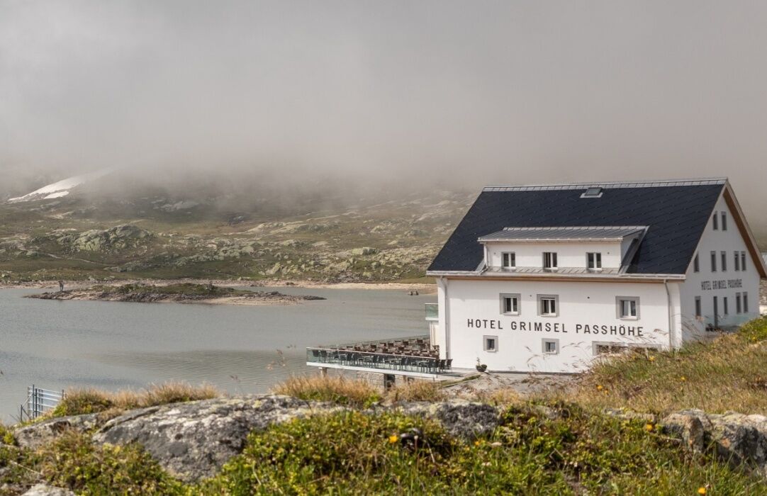
No. 772: Grimsel BikeVisit the historic Alpinhotel Grimsel Hospiz
Oblíbené prohlídky v okolí
- 5.0
Circular hike from Grimsel Pass - Sidelhorn via Jostsee
středníTuristika 8.47 km - 5.0
9 lake-trail
heavyTuristika 17.3 km - 4.8
Ciaspolata al Rifugio Maria Luisa
středníSněžnice 11.2 km Furka Pass – Rhone Glacier
světloTuristika 3.59 km- 5.0
Gelmersee-Tour
světloTuristika 9.03 km - 4.0
Capanna Piansecco
světloSněžnice 7.26 km - 5.0
Um den Gelmersee zur Gelmerhütte
středníTuristika 9.30 km von Albert-Heim-Hütte via Nepali Highway und Sidelenhütte nach Furkapass
heavydálková pěší trasa 8.40 km- 5.0
Toce Waterfall - Riale - San Giacomo Pass road
středníTuristika 10.9 km - 5.0
Sidelenhütte
světloTuristika 3.39 km

Pěší turistika a stopování


Nenechte si ujít nabídky a inspiraci pro vaši příští dovolenou
Vaše e-mailová adresa byl přidán do poštovního seznamu.