



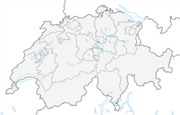


Tour Val d'Hérens

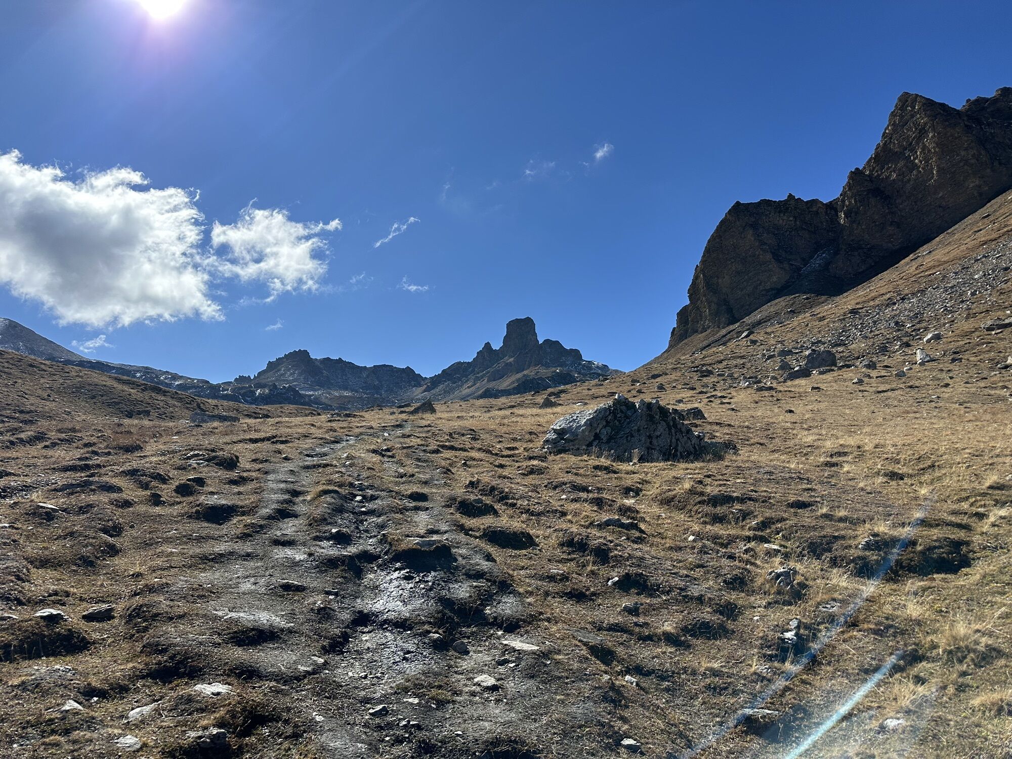
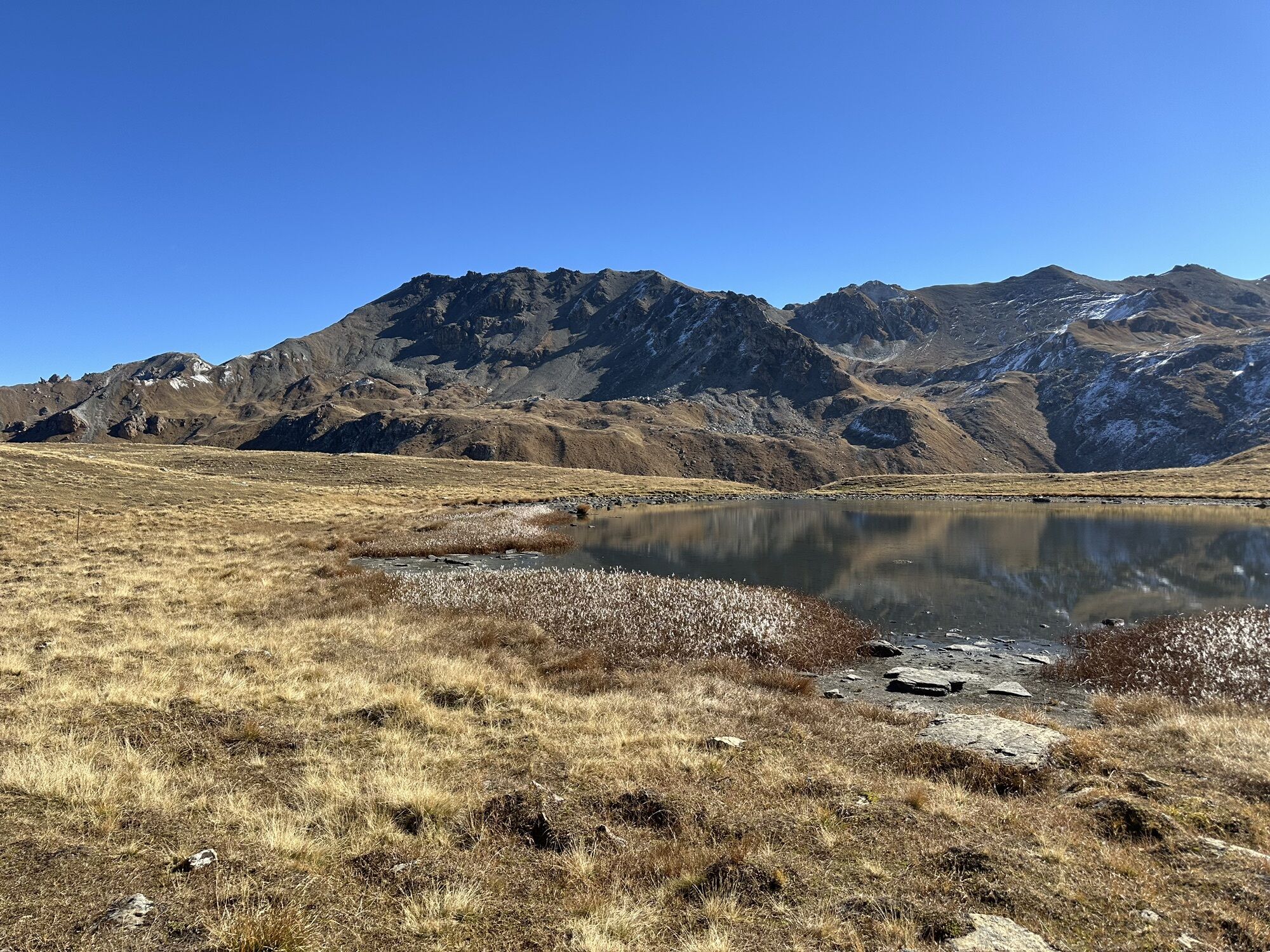
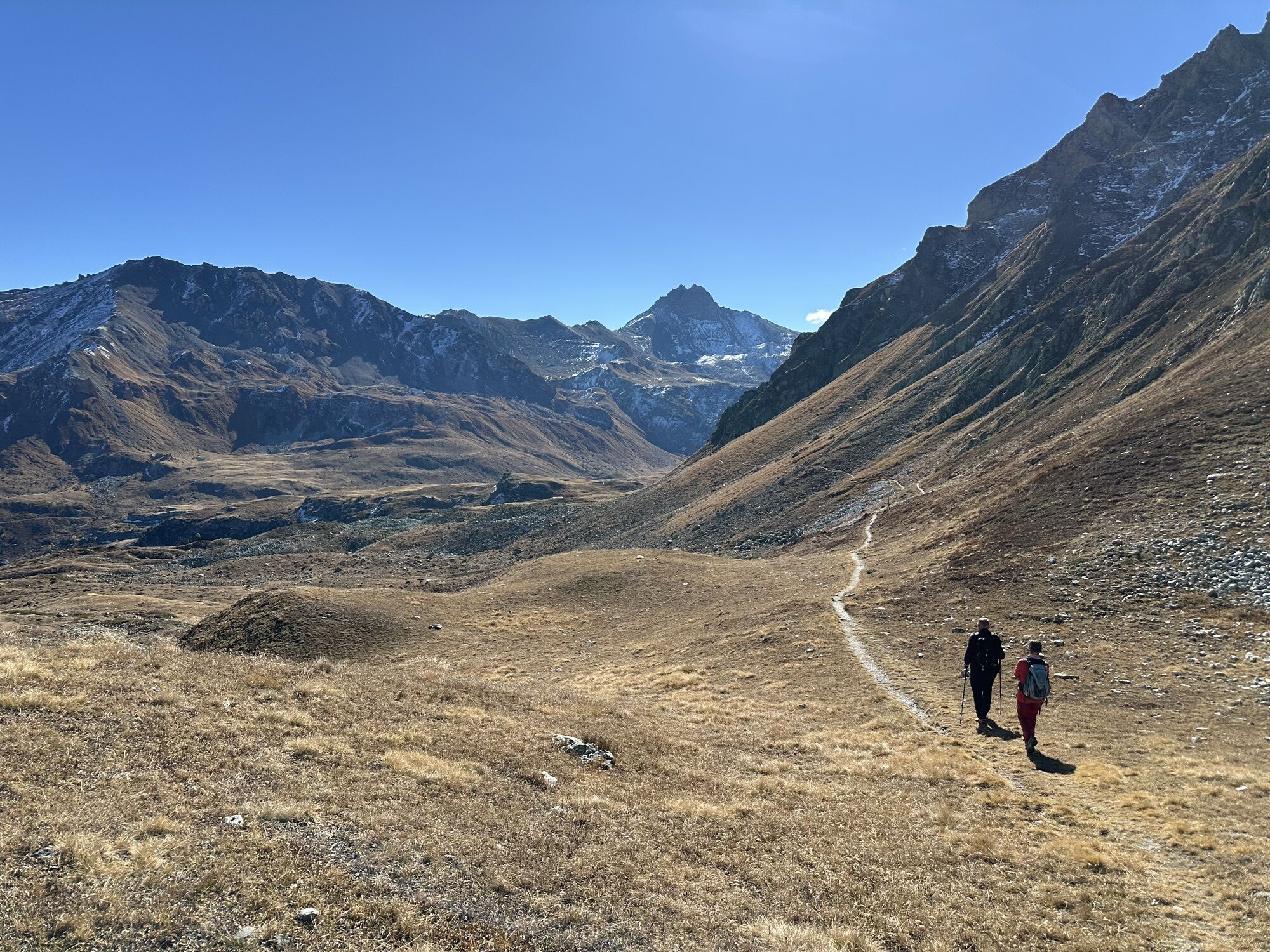
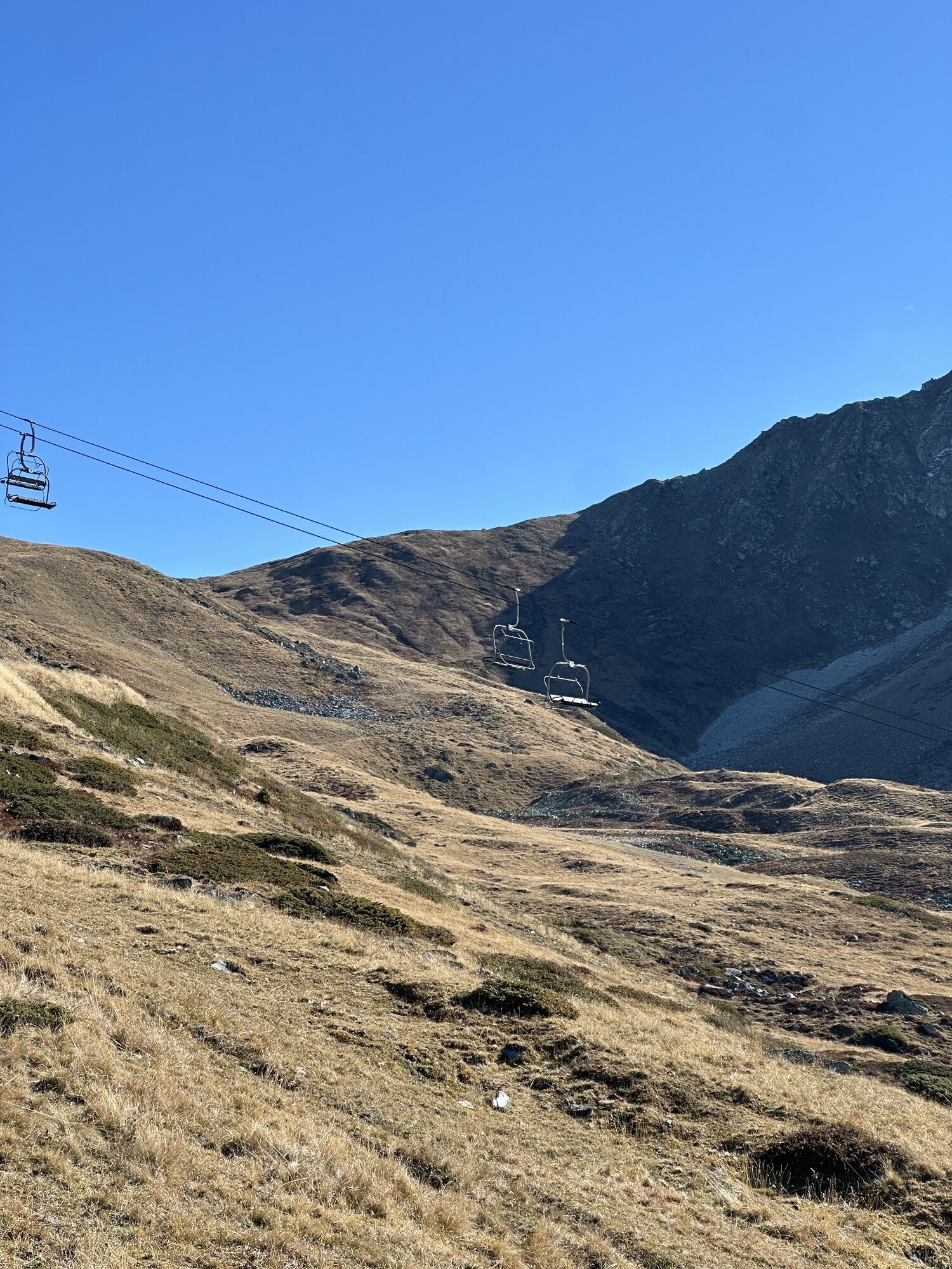
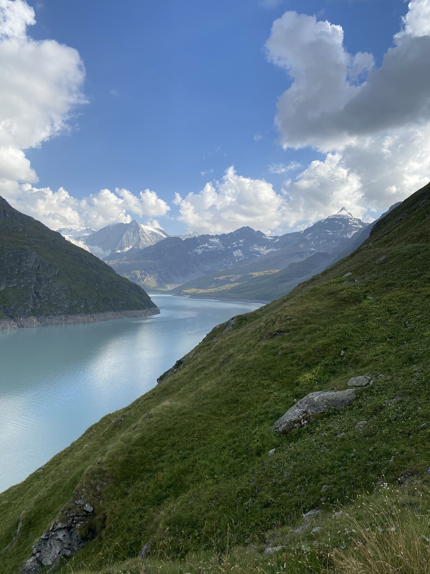
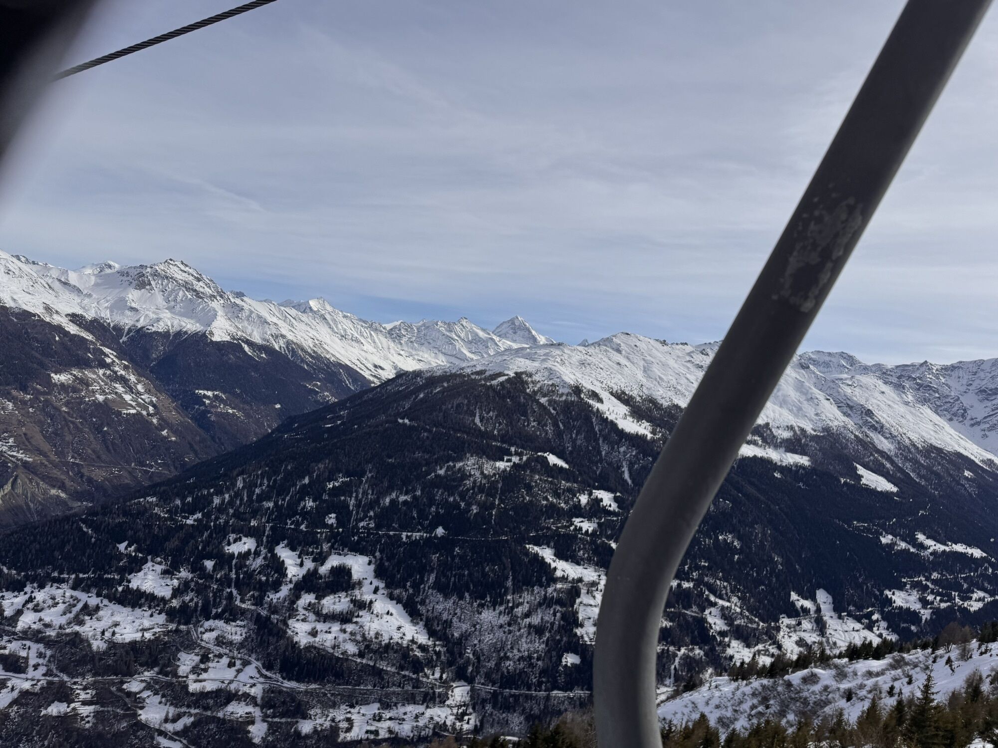
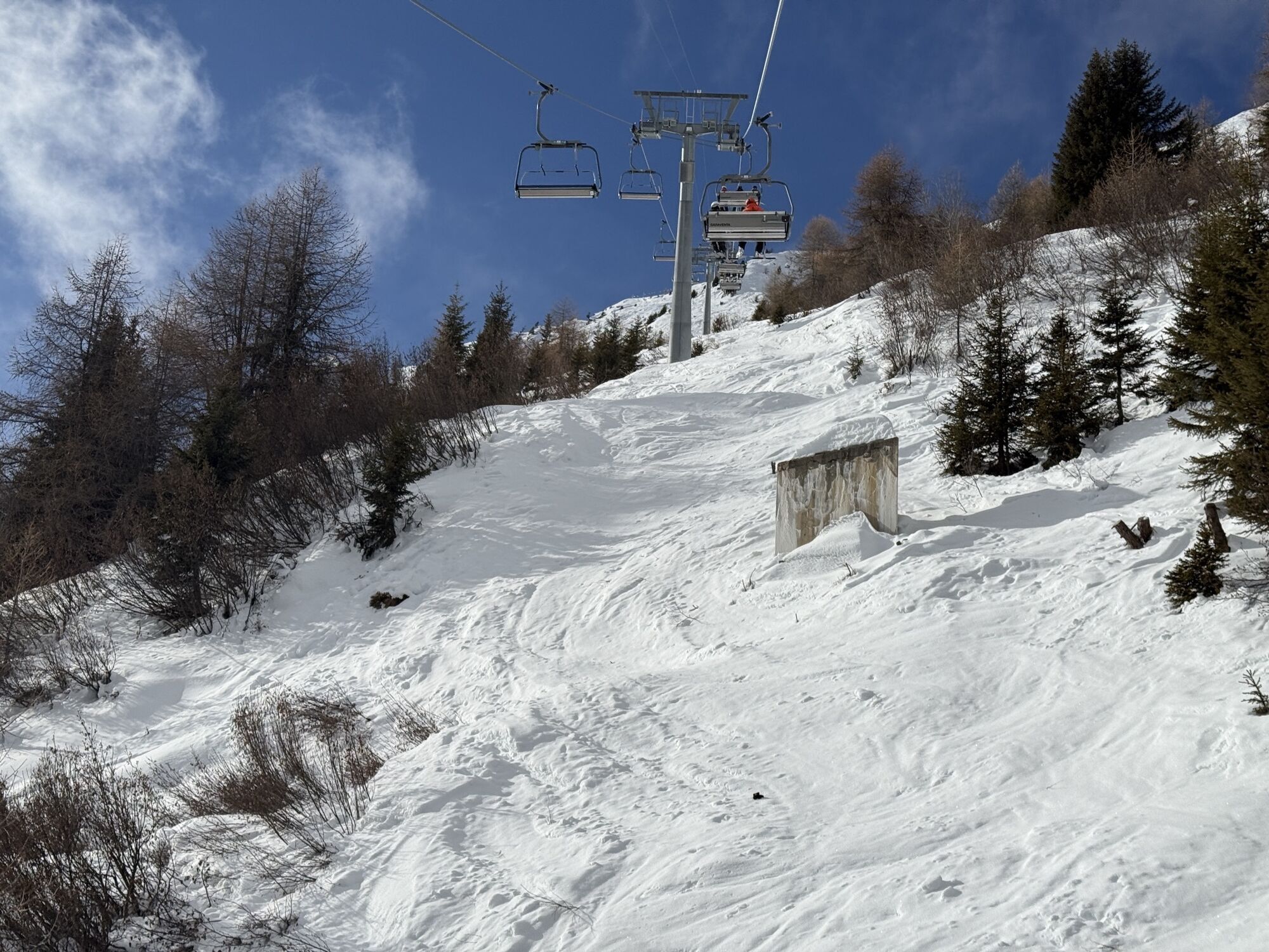


The first stage of the Val d‘Hérens Tour is a top-class panoramic hike against a dramatic backdrop of glaciated mountains. The route leads from Thyon past an idyllic high wetland, Les Gouilles d’Essertze,...
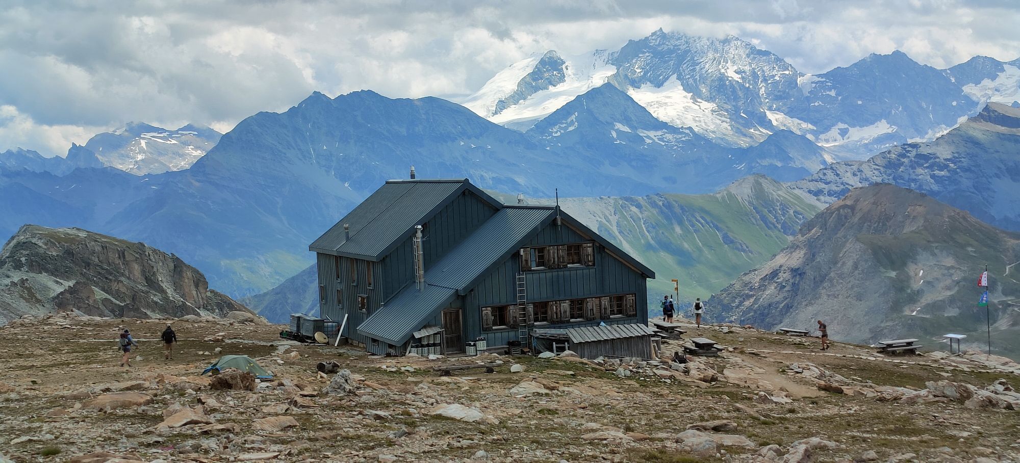
The first stage of the Val d‘Hérens Tour is a top-class panoramic hike against a dramatic backdrop of glaciated mountains. The route leads from Thyon past an idyllic high wetland, Les Gouilles d’Essertze, to Grande Dixence, the world’s tallest gravity dam. The second leg begins on the crest of the dam and follows the shores of the Lac des Dix before a steep climb to the legendary Col de Riedmatten and a descent to the village of Arolla. The third stage links the valley’s ancient villages, whose well-preserved hearts, full of historical charm, bear witness to traditional life in the Valais Alps. At Evolène, the fourth stage starts with a climb via alpine meadows and through forests to a high-altitude mountain refuge, the Cabane des Becs de Bosson: the highest point of the entire hike. After a night here, the final, fifth stage leads into the wild and pristine Vallon de Réchy and on to Nax, whose magnificent views have earned the village the nickname of “heaven’s balcony”.





Discover the stages of Tour du Val d'Anniviers:
1st stage: Thyon – Grande Dixence 2nd stage: Grande Dixence – Arolla 3rd stage: Arolla – Evolène 4th stage: Evolène - Cabane des Becs de Bosson 5th stage: Cabane Becs de Bosson - NaxWe recommend:
good footwear clothing suitable for the weather: always carry a waterproof jacket hat or cap sunscreen bottle for water picnic camera binoculars (optional) hiking poles (optional) printout of this hike (click “Print” icon, to download)For certain walks:
SwimwearUse of the trails and the information on this website is at hikers’ own risk. Local conditions may entail changes to routes. Valais/Wallis Promotion accepts no liability for the accuracy and completeness of information on this website.
For all hikes:
Bring a map. Download full description of this route including large-scale map by clicking on “Print” icon, top right of this page. Use marked trails only, and observe all signposting – for your own safety, to safeguard grazing animals and to avoid disturbing wildlife. Close gates after passing through. Please be considerate to other trail users, and to the plants and animals. Do not leave any waste in nature.For mountain hikes:
Take extra care protecting yourself from the sun at altitude. UV radiation can be exceptionally strong, even in cloudy weather. Plan hike carefully: take into consideration fitness level of each participant, weather forecast and season. Weather conditions can change quickly in the mountains, without warning. Appropriate clothing is therefore essential, along with adequate supplies of food and water. In uncertain weather, turn back in good time.For high-altitude hikes:
Inform others of the route you plan to take. Whenever possible, avoid going alone. Do not venture onto glaciers without a mountain guide. Take note of the warning signs that point out the constant danger in river beds and along watercourses below dams and reservoirs: water levels may rise rapidly without warning.More information about the destination:
Val d'HérensStop to admire the Euseigne rock pyramids on your journey into the Val d’Hérens, find out about the Grande Dixence and its history at the visitor centre, and bring a pair of binoculars to observe the wildlife in the Vallon de Réchy.
Webové kamery z prohlídky
-
Thyon 2000 - d'Imalp
-
Combatseline
-
Grimentz Ort
-
Evolene
-
Les Masses
-
Grande Dixence
-
Hérémence, la Dent Blanche
-
Arolla
-
Arolla
-
Arolla
-
Buvette Orzival
-
Bendolla
-
Télécabine Vercorin - Cret du Midi
-
Veysonnaz - Sportneige
-
Saint-Martin
-
Arolla Hotel Kurhaus
-
Grimentz
-
Staudamm Moiry
-
Mont Major
-
Evolène Tourisme et Region
-
Col du Pouce
-
Vex Thyon Snowpark
-
Trabanta
-
Sommet Piste de l´Ours
-
Villa sur Evolène
-
Sommet de la Piste de l'Ours
Získejte přehled
Vždy živě na místě s více než 9 500 webkamerami. bergfex Jako uživatel Pro si nyní můžete zobrazit odpovídající webové kamery pro mnoho prohlídek v aplikaci prohlídky z. Můžete si tak přímo prohlédnout aktuální podmínky.
Oblíbené prohlídky v okolí
-
5.0
Sentier des bouquetins
středníTuristika 8.73 km -
4.5
Cleuson Dam
středníTuristika 11.5 km -
2.0
Circular hike to Cabane des Aiguilles Rouges and Lac Bleu
heavyTuristika 14.1 km -
Tour du Lac de Moiry
středníTuristika 13.4 km -
4.0
Sentier des Chamois
heavyTuristika 11.6 km -
4.0
Belvédère via ferrata
středníVia ferrata 1.81 km -
Arolla - Vignettes
středníLyžařská trasa 5.04 km -
3.0
Via ferrata in the Mauvoisin Gorge
středníVia ferrata 1.77 km -
5.0
Zinal - Cabane du Petit Mountet
středníTuristika 12.0 km -
4.0
Moiry via ferrata
heavyVia ferrata 2.93 km
Pěší turistika a stopování


Nenechte si ujít nabídky a inspiraci pro vaši příští dovolenou
Vaše e-mailová adresa byl přidán do poštovního seznamu.





