






Teriol "Jägerweg"
Úroveň obtížnosti: 2
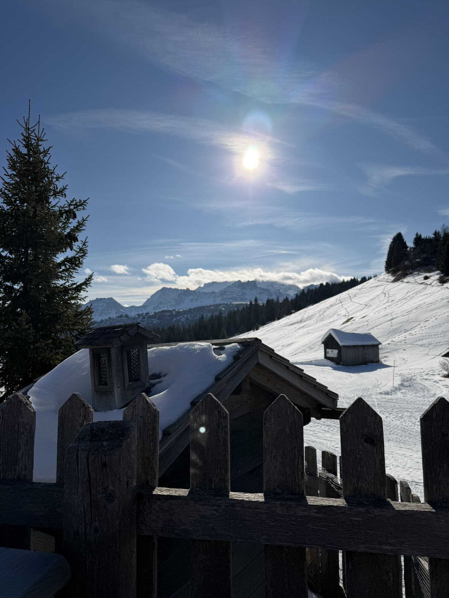
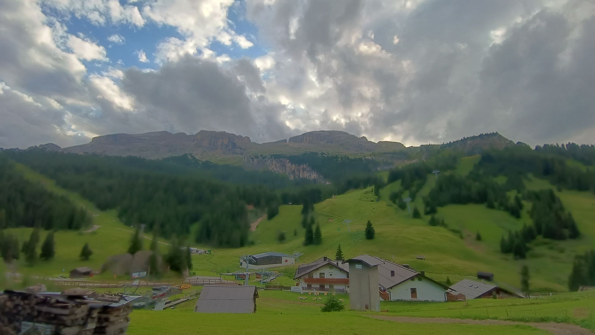

Intermediate route starting from Passo Campolongo reaching the fantastic Passo "Incisa" or, for those who prefer, extending to the Cherz plateau.
The trail initially develops in the forest up to Passo...
Intermediate route starting from Passo Campolongo reaching the fantastic Passo "Incisa" or, for those who prefer, extending to the Cherz plateau.
The trail initially develops in the forest up to Passo Incisa, then the panorama opens up and offers magnificent scenic views of the Dolomites.

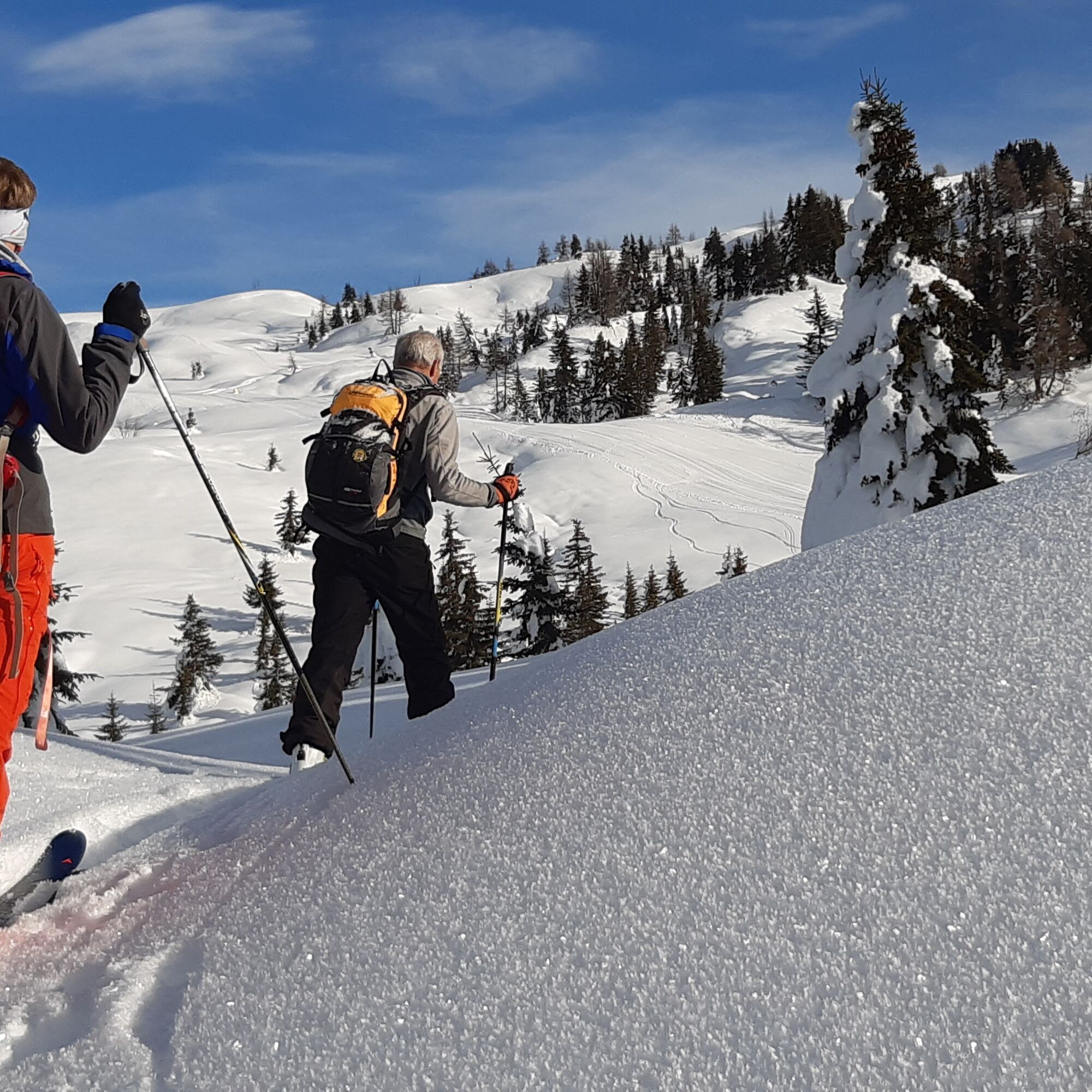
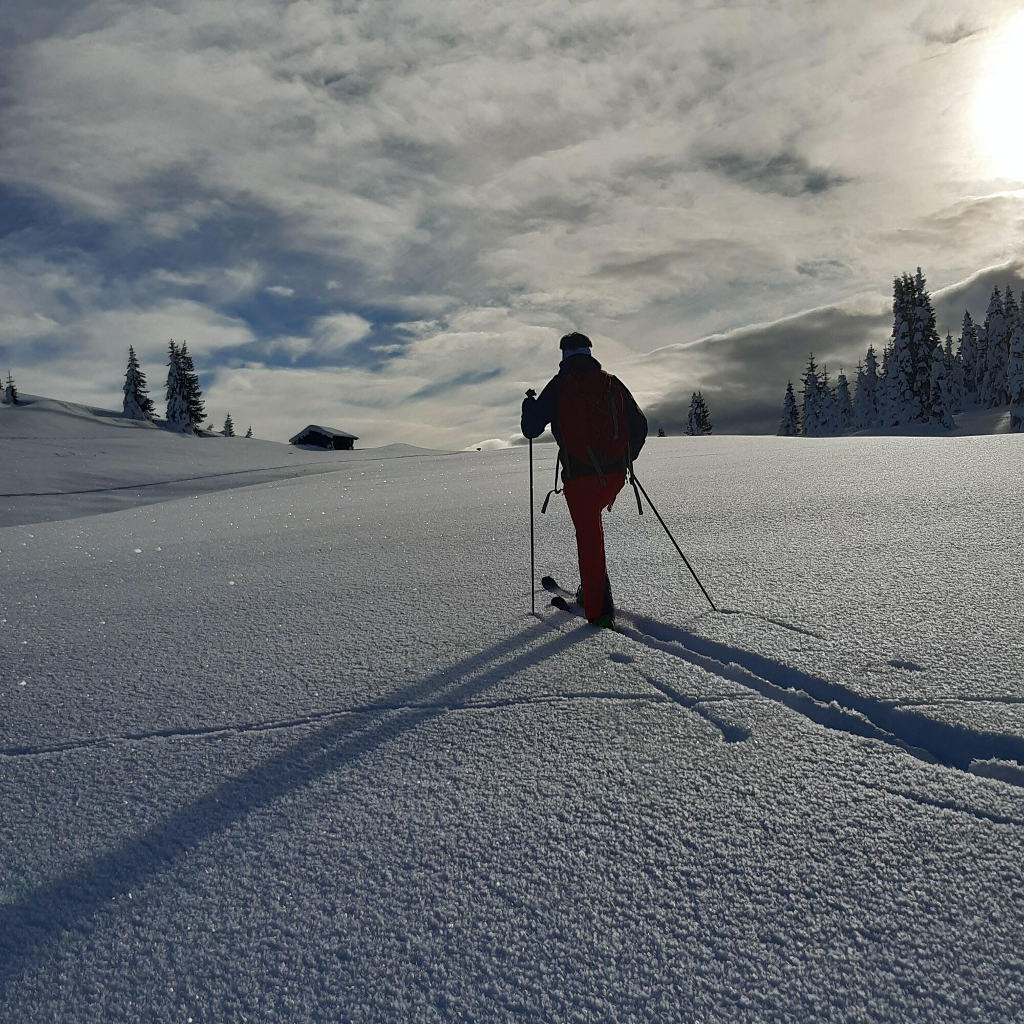
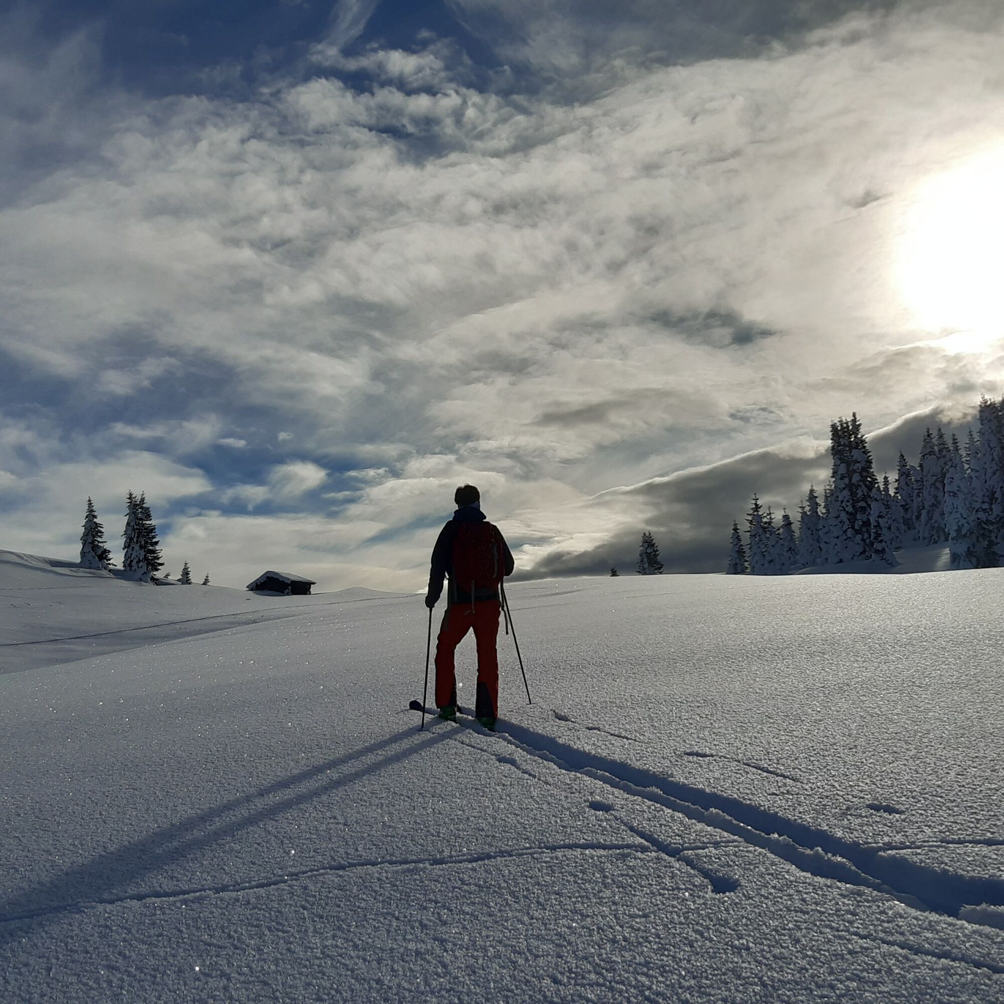
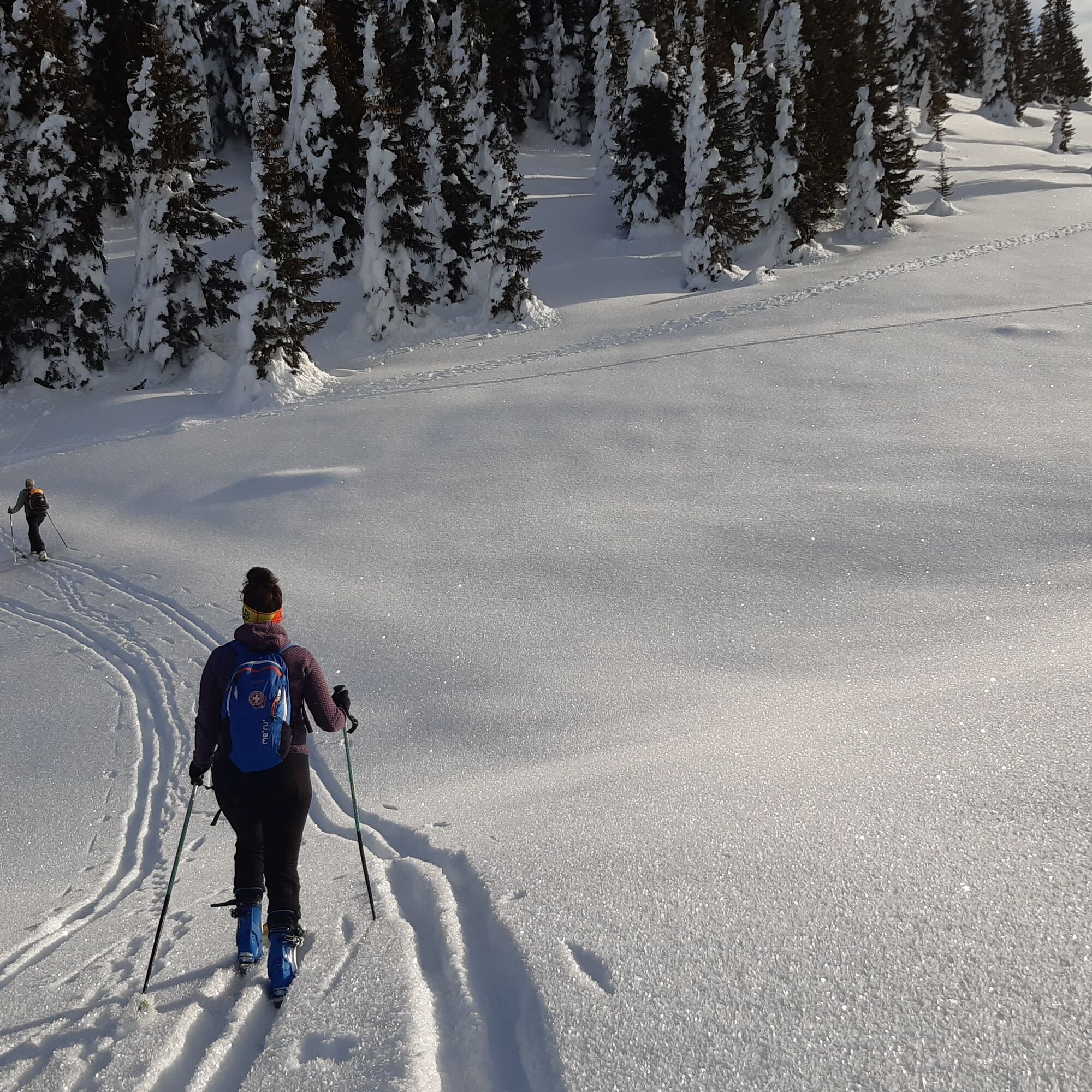
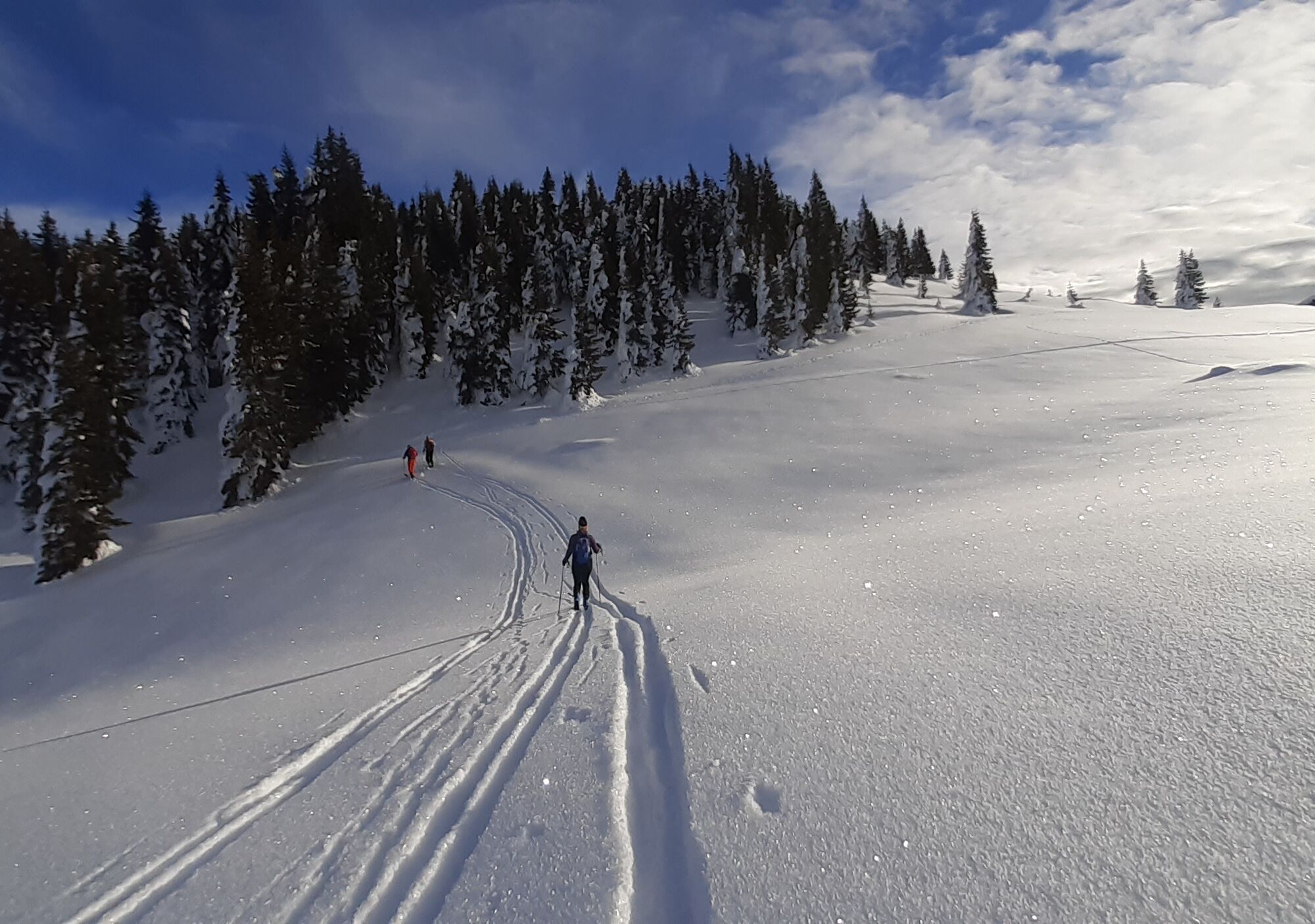
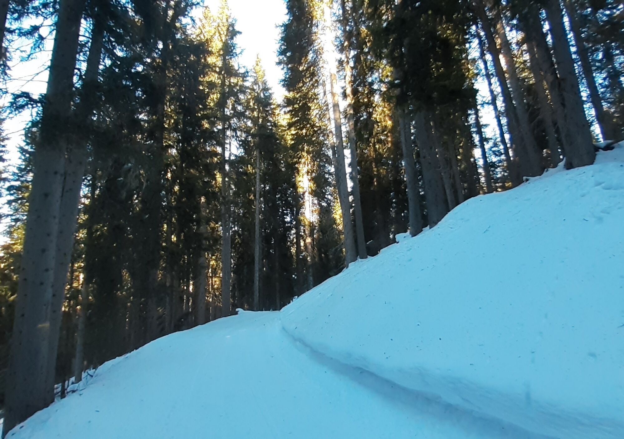
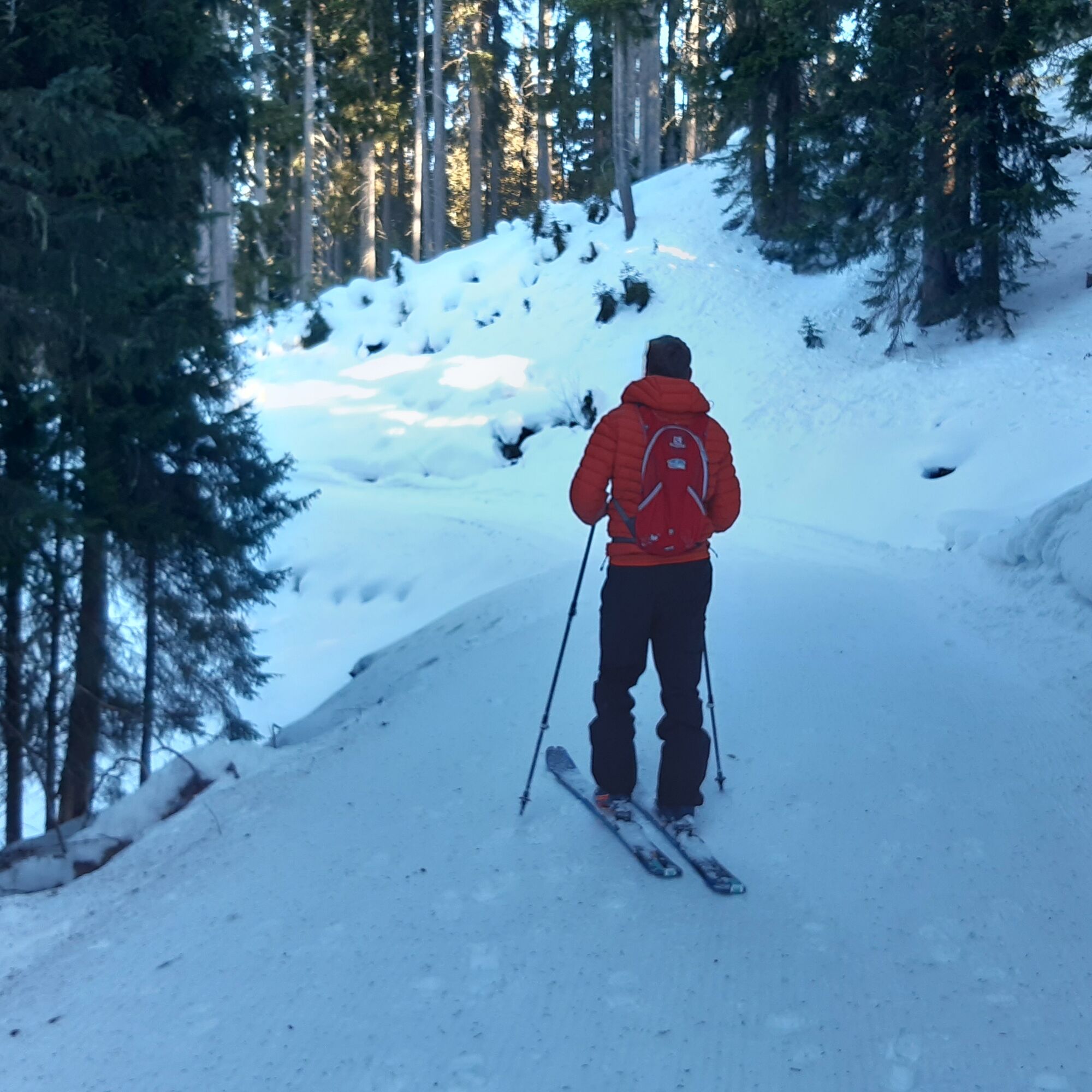
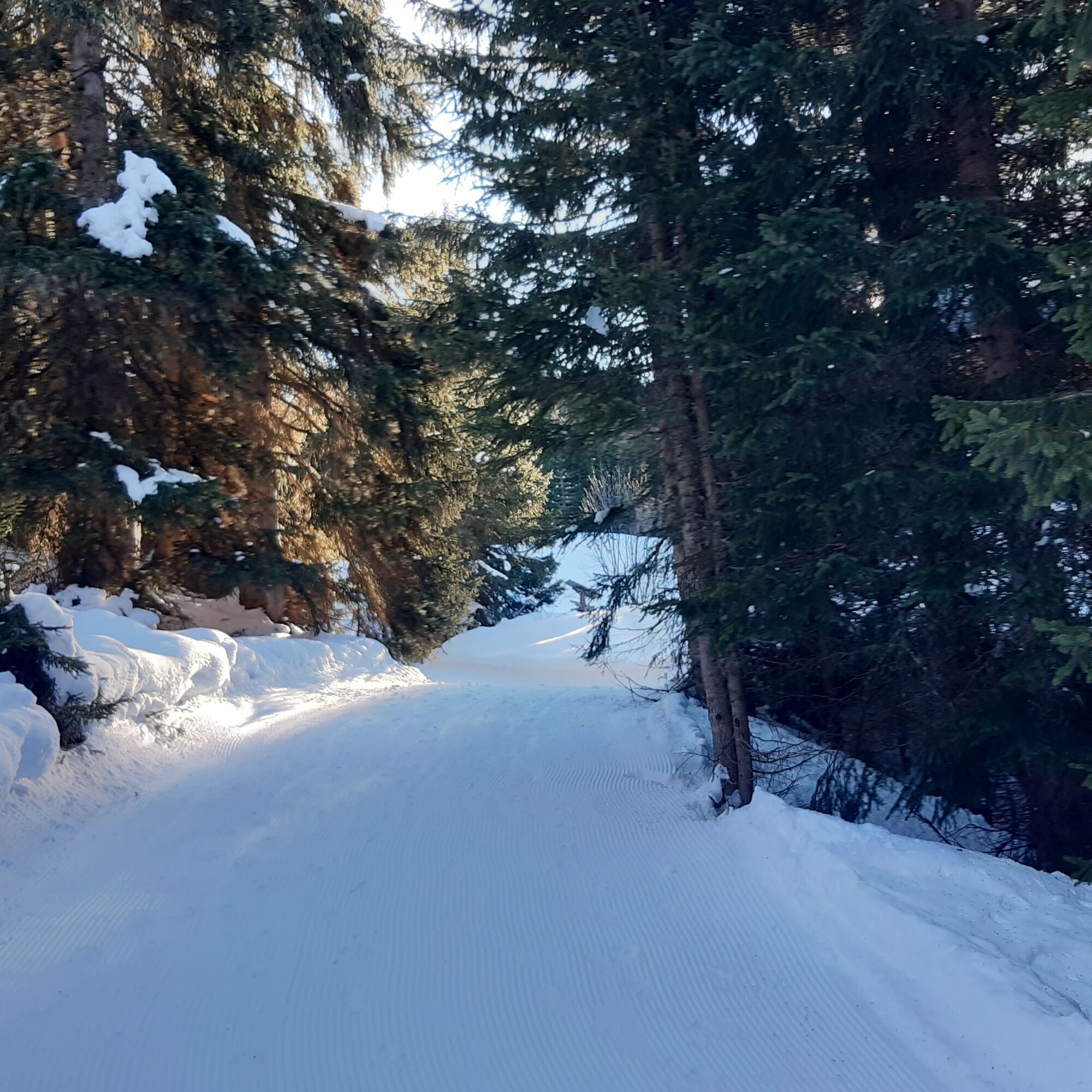

From Passo Campolongo (to the left of Hotel Laguscei), take the beaten path that starts on its left, initially rising for about 50 meters along the piste, then turn left following the beaten trail. After a few meters you will find the sign to follow, which is 26A. Always follow the beaten track 26A and then 26 towards Cherz. After a few kilometers you will reach a fork where you can choose to continue along the following track made by the snow groomer arriving at the Cherz plateau or turn left on trail no. 3 which leads to Incisa.
Ano
Ano
Ano
The snowshoer’s kit:
waterproof backpack or with waterproof cover (not too large if the hike is short) topographic map (or alternatively local map with recommended trails) compass and altimeter (or alternatively sports watch) binoculars water bottles thermos with hot tea energy bars or snacks chocolate filled sandwiches (or alternatively lunch in a mountain hut) breathable t-shirt change of t-shirt (preferably breathable) sweatshirt or fleece windproof and waterproof jacket long waterproof, padded ski trousers ski socks (or alternatively two pairs of socks) waterproof after-ski boots wool hat/headband ski gloves anti-reflective sunglasses sunscreen ski poles or telescopic trekking poles snowshoesAlways let someone know where you are going and the approximate duration of the hike.
The emergency number is 112 or 118 (ambulance).
By car
From Innsbruck, Brenner Motorway A22 to the Bressanone exit, continue through Val Pusteria, Val Badia, and Passo Campolongo. From Verona/Milan, Brenner Motorway A22 up to Egna Ora castle, continue through Val di Fiemme, Val di Fassa, Passo Pordoi, Arabba, and Passo Campolongo. From Venice, Motorway A27 Belluno exit, follow Agordina 203 to Agordo, Caprile, Arabba, and Passo Campolongo.By train
Nearest train stations:
Belluno - 70 km Brunico - 48 km Ponte Gardena - 51 kmBy bus
Brunico - 47 km connection via SAD line www.sad.it Belluno – 70 km connection via Dolomitibus line www.dolomitibus.itBy plane
Venice Treviso/Venice Marco Polo – 160/170 km Innsbruck - 140 km Verona – 270 km Milan Bergamo/Milan Malpensa - 310/400 kmParking available near Hotel "Laguscei".
2
Before departing we recommend you check the weather, which changes rapidly in the mountains, and the trail conditions.
The path starts to the left of Hotel Laguscei.
"The sustainable snowshoer’s handbook":
choose the route according to your physical and technical abilities gather information about the route you intend to take before departure (distances, altitude difference, time needed, springs, fountains, mountain huts, ski lifts, bivouacs, etc.) check the condition of the chosen trail never undertake a hike alone always carry all your litter back down the valley please stay on marked trails please keep quiet do not feed the animals
Webové kamery z prohlídky
-
Pedraces
-
La Villa - Alta Badia
-
Colfosco
-
Alta Badia - Rifugio Ütia de Bioch
-
Arabba - Bec de Roces
-
Alta Badia - Club Moritzino
-
Piz Arlara
-
Edelweiss Tal - Colfosco
-
Piz La Ila
-
Piz La Ila
-
Piz Sorega
-
Mezdi Bergstation
-
Mezdi Bergstation
-
Colfosco - Corvara in Badia / Hotel Luianta
-
Colfosco
-
Rifugio Burz
-
Corvara - Chiesa di Santa Catarina
-
Rifugio Burz
-
Pista Fodoma
-
Rifugio Burz
-
Rifugio Burz
-
Rifugio Burz
-
Pista Fodoma
-
Corvara - Ciasa Morin
-
Janin
-
Janin
-
Janin
-
Janin
Získejte přehled
Vždy živě na místě s více než 9 500 webkamerami. bergfex Jako uživatel Pro si nyní můžete zobrazit odpovídající webové kamery pro mnoho prohlídek v aplikaci prohlídky z. Můžete si tak přímo prohlédnout aktuální podmínky.
Oblíbené prohlídky v okolí
-
4.7
The Munkelweg trail beneath the Geisler peaks
středníTuristika 9.11 km -
4.6
Pordoi Pass - Sass Pordoi - Forcella Pordoi - Piz Boè - Boè Refuge - Forcella Pordoi - Pordoi Pass
heavyTuristika 8.39 km -
4.9
Lang- und Plattkofel Umrundung
středníTuristika 17.5 km -
4.8
Langkofel-Umrundung
středníTuristika 12.9 km -
5.0
Langkofel Klettersteig/Ferrata Furcela de Saslonch
heavyVia ferrata 7.07 km -
4.7
Passo Giau roundtrip
středníTuristika 8.10 km -
5.0
Um den Langkofel
středníTuristika 9.76 km -
4.6
Five Towers Tour (Averau, Nuvolau and Scoiattoli refuges) from Giau Pass
středníTuristika 10.8 km -
3.8
Der Friedrich-August-Weg
středníTuristika 10.4 km -
4.4
Dolomiten Sellagruppe, Alb. Col di Lana, Sas de Pordoi, Piz Boé retour 22.06.2016
středníTuristika 5 km

Pěší turistika a stopování


Nenechte si ujít nabídky a inspiraci pro vaši příští dovolenou
Vaše e-mailová adresa byl přidán do poštovního seznamu.





