







Strada de la Vena

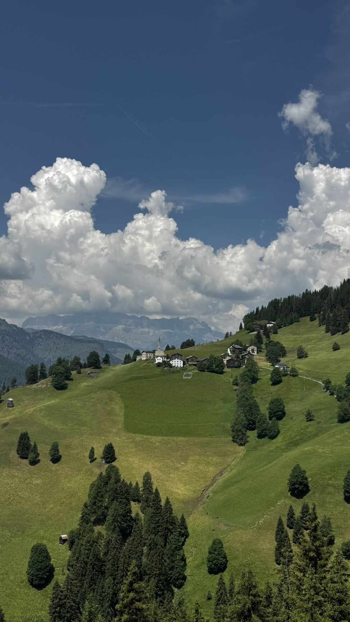
Interesting route that retraces the iron road in the Fodom area recently renovated.
This route links Colle S. Lucia, where the ore was extracted and where the mine administration was located, with the...
Interesting route that retraces the iron road in the Fodom area recently renovated.
This route links Colle S. Lucia, where the ore was extracted and where the mine administration was located, with the Andraz Castle, near which the smelting furnace was located. Along the route, several informational panels will highlight the area's history and surrounding nature.
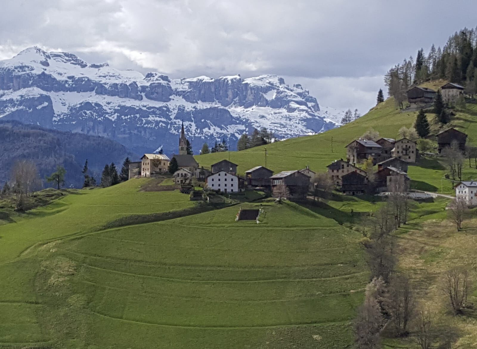
The route brings the visitor into contact with a typically alpine landscape with woods, pastures, and wooden haylofts.


From the center of Selva di Cadore, head towards the climb leading to Santa Fosca and, after crossing the ridge, turn left at the junction for "Rova" and "Zardin". After passing the latter group of houses, the road becomes unpaved and continues towards the Giau Pass.
Once back on the state road, descend the switchbacks of the pass until you reach the junction for the "Posalz" hamlet. From here, the road becomes unpaved again and, continuing straight, passes the hamlets of "Pian" and "Fossal," reaching "Ru" where there is the possibility to visit a mine just below.
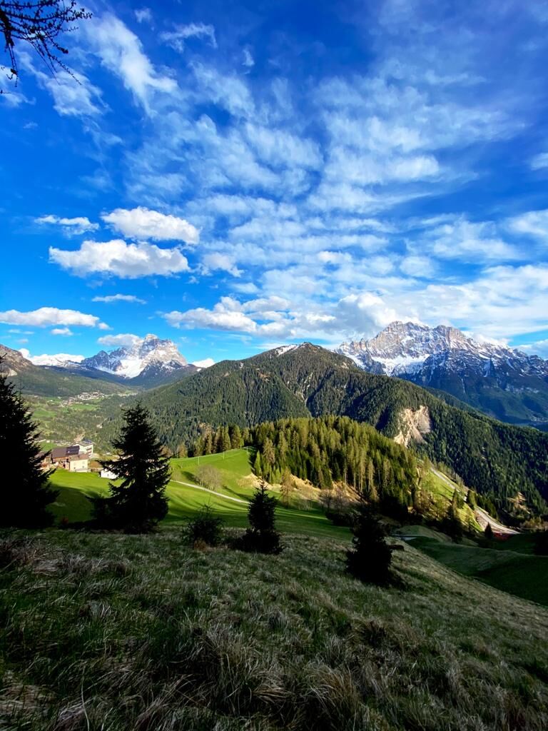
Continuing straight, you reach the panoramic hamlet of "Canazei," from which you can enjoy a wonderful view of Colle Santa Lucia, Mount "Pore," and the Fiorentina Valley with Pelmo and Civetta.
The road continues and, after passing the "Colcuc" hamlet, enters the woods to then emerge at "Col di Larzonei," another panoramic point. From here, it continues again through the woods and, passing slightly above the "Cernadoi" settlement, reaches the hamlet of "Castello," the last stage of the hike, where you can admire and visit the homonymous "Andraz Castle."
The return can be made along the same route as the outbound journey.
Ano
Ano
The hiker's kit:
waterproof backpack or with waterproof cover (not too large if the hike is short) topographic map (alternatively local map with recommended trails) compass and altimeter (alternatively sports watch) binoculars water bottles energy bars or snacks chocolate sandwiches (alternatively lunch at a mountain refuge) breathable t-shirt change of t-shirt (preferably breathable) sweatshirt or fleece windproof and waterproof jacket shorts long pants socks (long or mid-calf) multi-sport boots soft and snug around the ankle light cap/headband anti-reflective sunglasses sunscreen walking poles first aid kit (plasters, disinfectant, gauze, etc.)There are no refreshment points along the route, so it is necessary to stock up on food and water.
Always let someone know where you are headed and the approximate duration of the hike and avoid going alone.
The emergency phone number is 112 or 118 (ambulance).
By car
From Innsbruck Brenner Motorway A22 to the Bressanone exit, continue through the Puster Valley, Badia Valley, and Campolongo Pass. From Verona/Milan Brenner Motorway A22 to the Egna Ora castle, continue through the Fiemme Valley, Fassa Valley, Pordoi Pass, Arabba. From Venice Motorway A27 Belluno exit, follow the Agordina 203 to Agordo, Caprile.By train
Nearest railway stations:
Belluno - 70 km Brunico - 48 km Ponte Gardena - 51 kmBy bus
Brunico - 47 km connection via SAD line www.sad.it Belluno – 70 km connection via Dolomitibus line www.dolomitibus.itBy plane
Venice Treviso/Venice Marco Polo – 160/170 km Innsbruck - 140 km Verona – 270 km Milan Bergamo/Milan Malpensa - 310/400 kmFree parking is available near the Selva di Cadore Church.
Before leaving, we recommend checking the weather, which changes rapidly in the mountains, and the trail conditions.
Don't miss the visit to the Fursil mines and the Andraz Castle.
"The sustainable hiker's handbook":
choose the route according to your physical and technical abilities research before departure about the route you intend to take (distances, altitude difference, time required, springs, fountains, refuges, lifts, bivouacs, etc.) check the condition of the chosen path never undertake a hike alone always carry all waste back down the valley please stay on the marked paths please keep quiet do not collect stones or minerals do not feed animals no fires allowed do not pick flowers or plantsWebové kamery z prohlídky
-
Zoldo Alto - Pecol
-
Santa Fosca - Campo Scuola
-
Alleghe - Civetta
-
Alleghe
-
Alleghe - Col dei Baldi
-
Alleghe - Fertazza
-
Alleghe - Piani di Pezze
-
Palafavera - Val di Zoldo
-
Selva di Cadore - Pescul
-
Selva di Cadore - Pescul
-
Cortina d’Ampezzo, 5 Torri
-
Rifugio Averau
-
Rifugio Averau
-
Cortina d'Ampezzo - Col Gallina
Získejte přehled
Vždy živě na místě s více než 9 500 webkamerami. bergfex Jako uživatel Pro si nyní můžete zobrazit odpovídající webové kamery pro mnoho prohlídek v aplikaci prohlídky z. Můžete si tak přímo prohlédnout aktuální podmínky.
Oblíbené prohlídky v okolí
-
4.8
Passo Giau roundtrip
středníTuristika 8.10 km -
4.7
Five Towers Tour (Averau, Nuvolau and Scoiattoli refuges) from Giau Pass
středníTuristika 10.8 km -
4.4
Dolomiten Sellagruppe, Alb. Col di Lana, Sas de Pordoi, Piz Boé retour 22.06.2016
středníTuristika 5 km -
4.4
Viel dal pan
světloTuristika 6.60 km -
5.0
Via Ferrata "Cesare Piazzetta"
heavyVia ferrata 9.07 km -
4.7
Lago Federa
středníTuristika 14.6 km -
5.0
Magnifique et très variée
středníTuristika 12.6 km -
4.9
Bec de Roces - Boè Lake
středníTuristika 5.82 km -
3.4
Sub-Lieutenant Mario Fusetti Via Ferrata
středníVia ferrata 4.22 km -
4.7
Ferrata brigata degli alpini - Col dei Bos
středníVia ferrata 4.90 km
Pěší turistika a stopování


Nenechte si ujít nabídky a inspiraci pro vaši příští dovolenou
Vaše e-mailová adresa byl přidán do poštovního seznamu.





