







Three Crosses Pass
Úroveň obtížnosti: 3
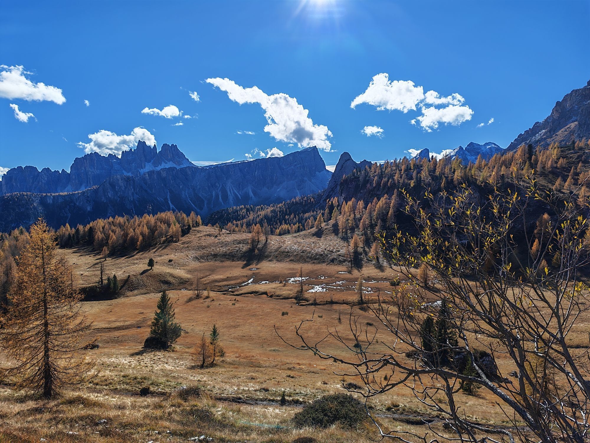
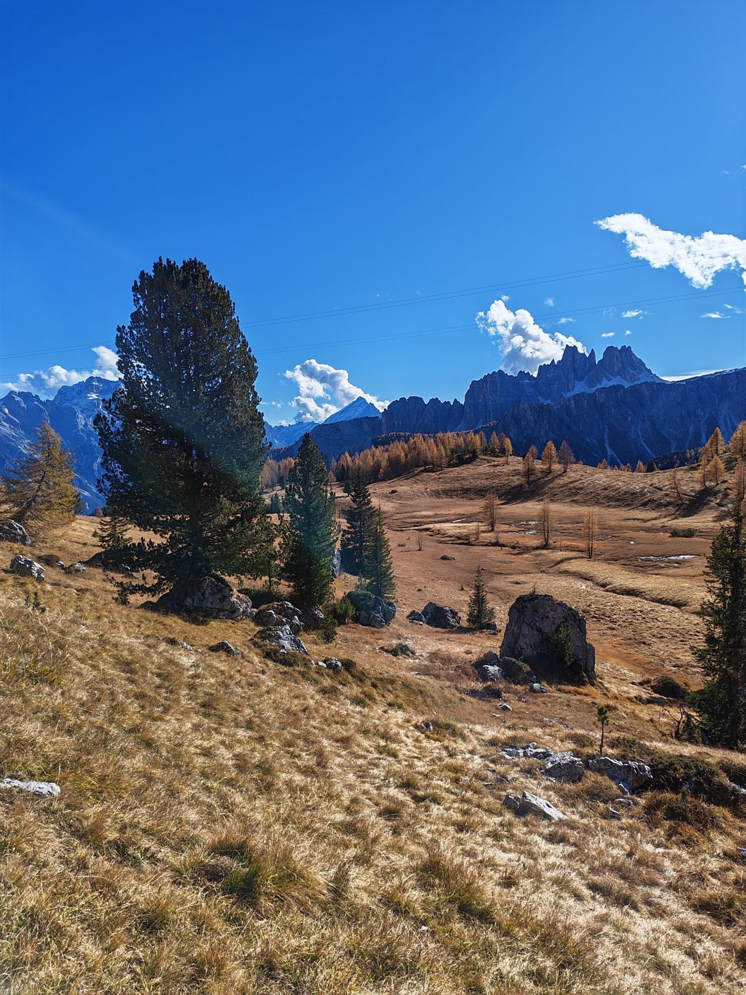
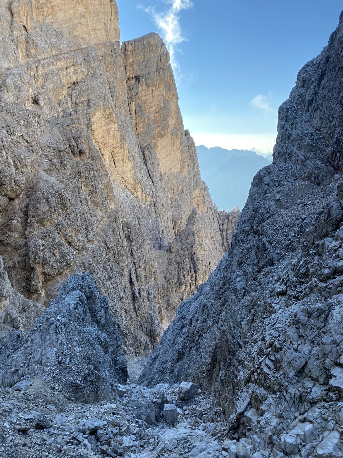
Passo Tre Croci is one of the most famous climbs in the Belluno Dolomites and a great cycling classic linked to the Giro d'Italia. The route, to be tackled entirely by bicycle, connects Cortina d'Ampezzo...
Passo Tre Croci is one of the most famous climbs in the Belluno Dolomites and a great cycling classic linked to the Giro d'Italia. The route, to be tackled entirely by bicycle, connects Cortina d'Ampezzo to the Misurina area by crossing alpine forests and magnificent views dominated by the Dolomite peaks. The pass, located at an altitude of 1,809 meters, has been tackled several times by Giro professionals due to its strategic importance in the mountain stages of the Dolomites. The climb affords spectacular views of the Cristallo and the Three Peaks, making it a popular destination for cyclists, cycle tourists and e-bikers. Once the pass is reached, the route can continue to Misurina and Tre Cime di Lavaredo.

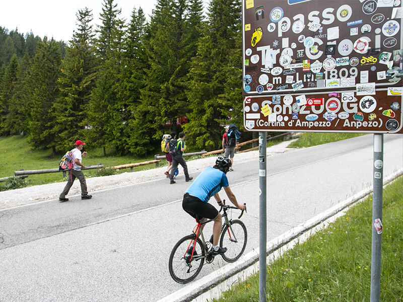

From Cortina, follow SR48 in the direction of Misurina/Passo Tre Croci. The road climbs gradually through forests and Dolomite vistas to the pass. From the pass it is possible to continue towards Misurina and the Three Peaks of Lavaredo.
Helmet required
Water bottle and energy snacks
Repair kit and inner tube
Windproof jacket for high altitude
Pay attention to tourist traffic, especially in summer, and the descent to Misurina
By car, on the other hand, Cortina can be reached from Belluno along the SS51 Alemagna road, from Dobbiaco via the Cimabanche Pass or from the A27 exit of Pian di Vedoia, then following the same state road. Once in the village, the climb starts directly from the center following SR48 towards Misurina.
By train it is possible to reach the Calalzo di Cadore station, from where Dolomitibus buses (line 030 Calalzo-Cortina) depart, directly connecting the valley to Cortina in about 1-1.5 hours.
3
Pedal at sunset: the Dolomites around Three Crosses are tinged with pink, providing a unique Giro d'Italia atmosphere.
Webové kamery z prohlídky
Bigontina - Mt. Cristallo
Punta Nera
Ra Valles
Ra Valles
Ra Valles
Ra Valles
Ra Valles
Ra Valles
Ra Valles
Cortina Franchetti Faloria
Vitelli - Bergstation
Sessellift Padeon-Sonforca
Rifugio Faloria
Cortina d'Ampezzo - Duca d'Aosta
Cortina d'Ampezzo - Pomedes
Cortina pista Labirinti
Tofana - Pista Olimpia
Tofana - Pista Olimpia
Cortina d'Ampezzo - Rifugio Faloria
Získejte přehled Vždy živě na místě s více než 9 500 webkamerami. bergfex Jako uživatel Pro si nyní můžete zobrazit odpovídající webové kamery pro mnoho prohlídek v aplikaci prohlídky z. Můžete si tak přímo prohlédnout aktuální podmínky. Oblíbené prohlídky v okolí
- 4.9
#31: Paternkofel von Auronzohütte, und Schartenweg, B/C
heavyVia ferrata 15.7 km - 4.8
Rundtour Drei Zinnen | Sextner Dolomiten | Wandern Südtirol
středníTuristika 10.1 km - 4.8
Passo Giau roundtrip
středníTuristika 8.10 km - 4.7
Lago di Sorapis
středníHorská turistika 13.6 km - 4.7
Five Towers Tour (Averau, Nuvolau and Scoiattoli refuges) from Giau Pass
středníTuristika 10.8 km - 4.8
Rundweg um die drei Zinnen
světloTuristika 7 km - 4.6
Lago di Sorapis A/R
středníTuristika 16.4 km - 5.0
Durch das Rienztal zu den drei Zinnen
světloTuristika 11.8 km - 4.7
Paternsattel
světloTuristika 3.24 km - 4.8
Giovanni Barbara (A/B) Klettersteig
světloVia ferrata 6.16 km
Pěší turistika a stopování


Nenechte si ujít nabídky a inspiraci pro vaši příští dovolenou
Vaše e-mailová adresa byl přidán do poštovního seznamu.





