


Giau Pass
Úroveň obtížnosti: 4
Fotografie našich uživatelů

 © Gianberto ZilliVytvořeno dne 20.06.2025
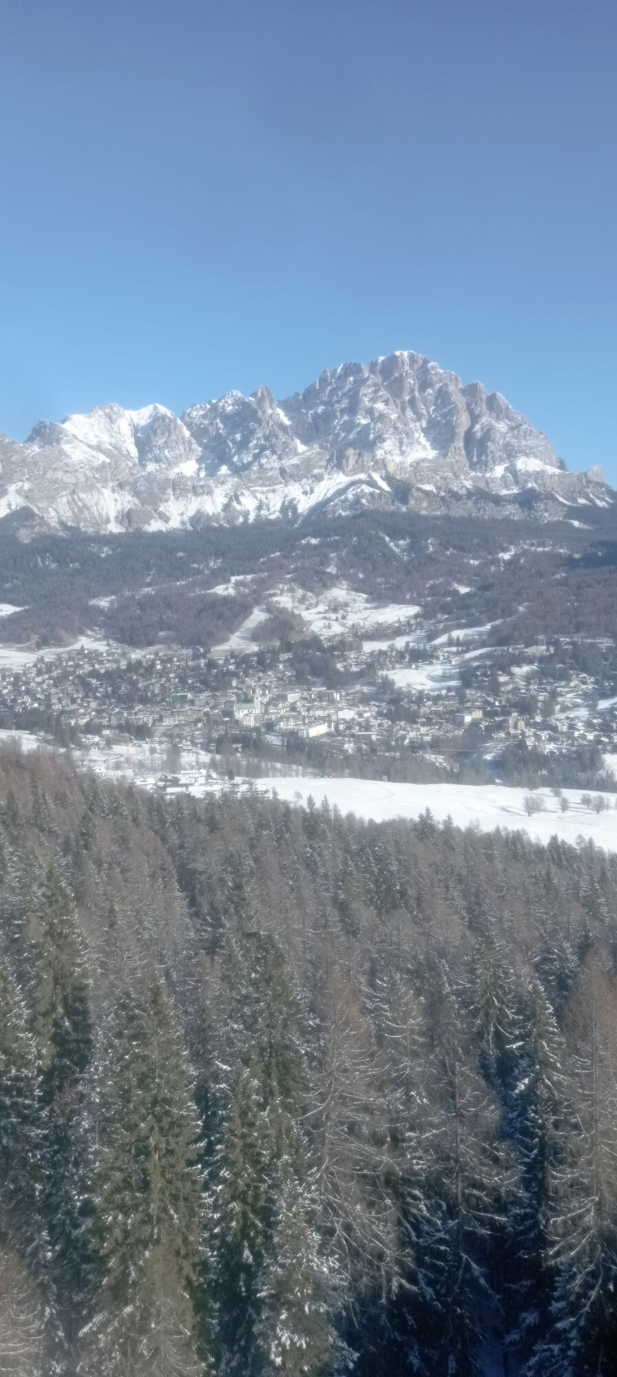
 © Maria MoroVytvořeno dne 16.01.2026
 © Maria MoroVytvořeno dne 16.01.2026
 © Maria MoroVytvořeno dne 16.01.2026
 © Maria MoroVytvořeno dne 16.01.2026
 © Maria MoroVytvořeno dne 16.01.2026
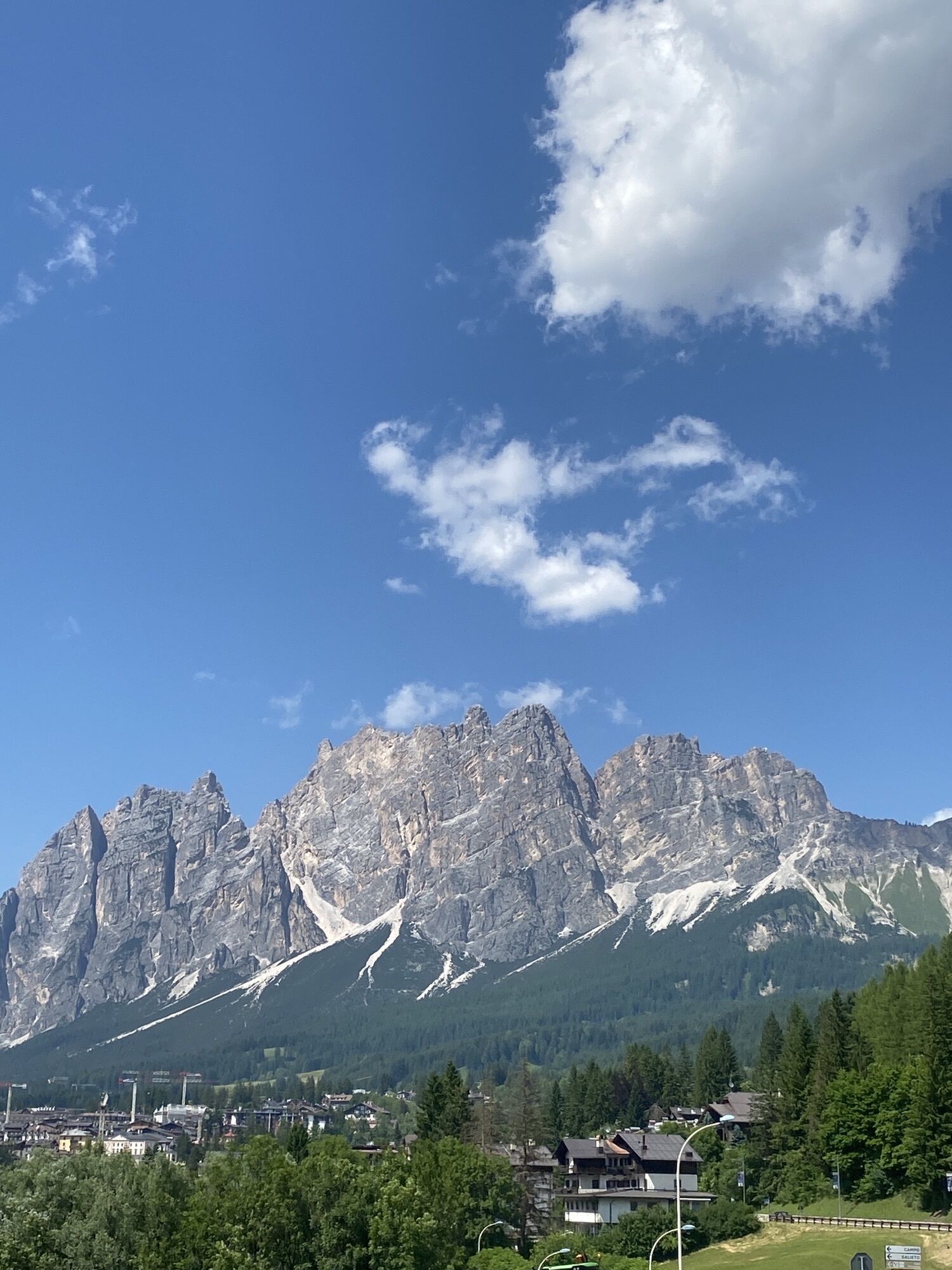
 © Enrico TVytvořeno dne 26.12.2025
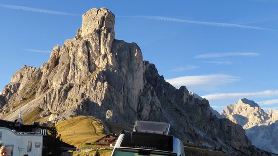
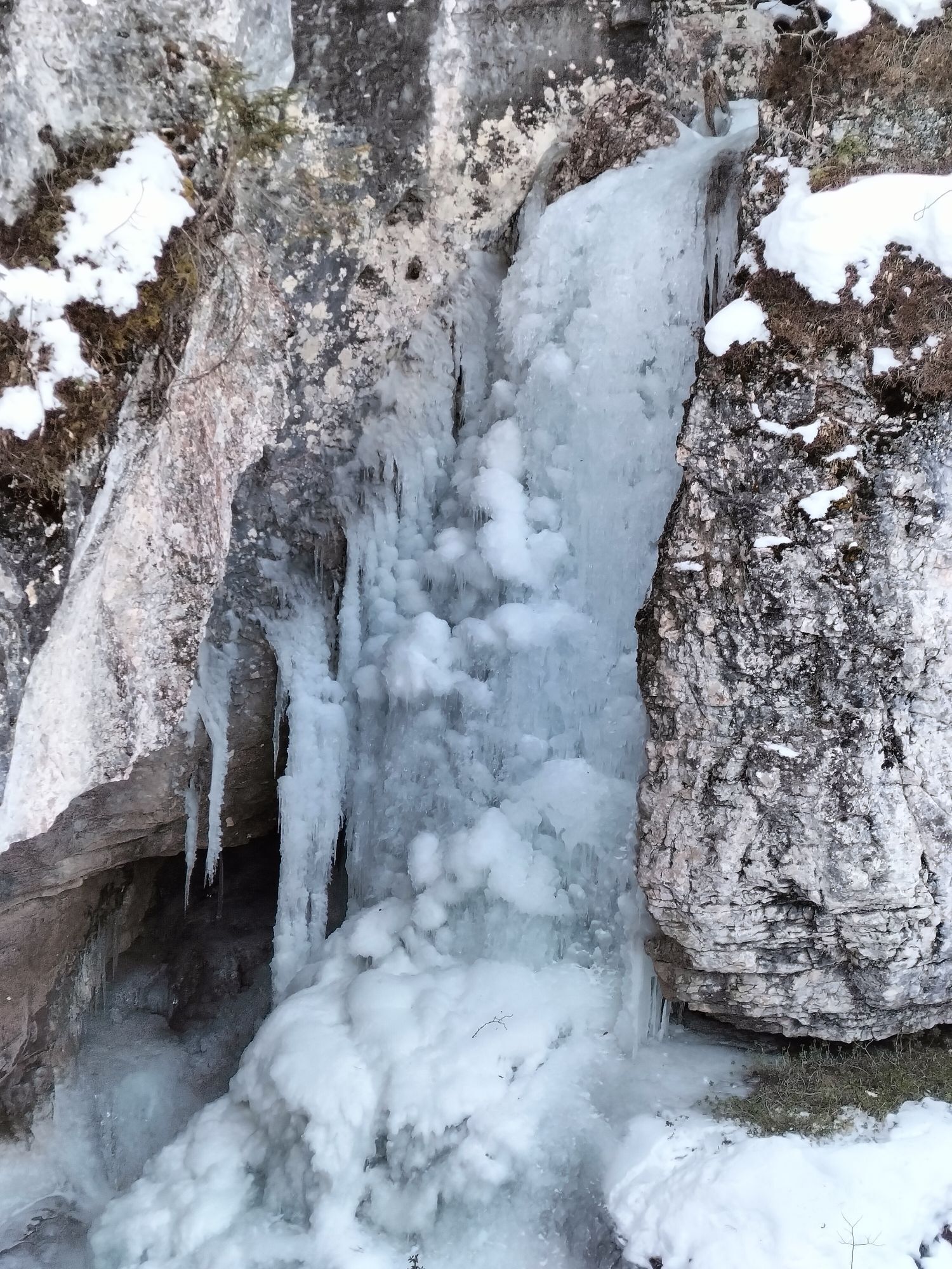
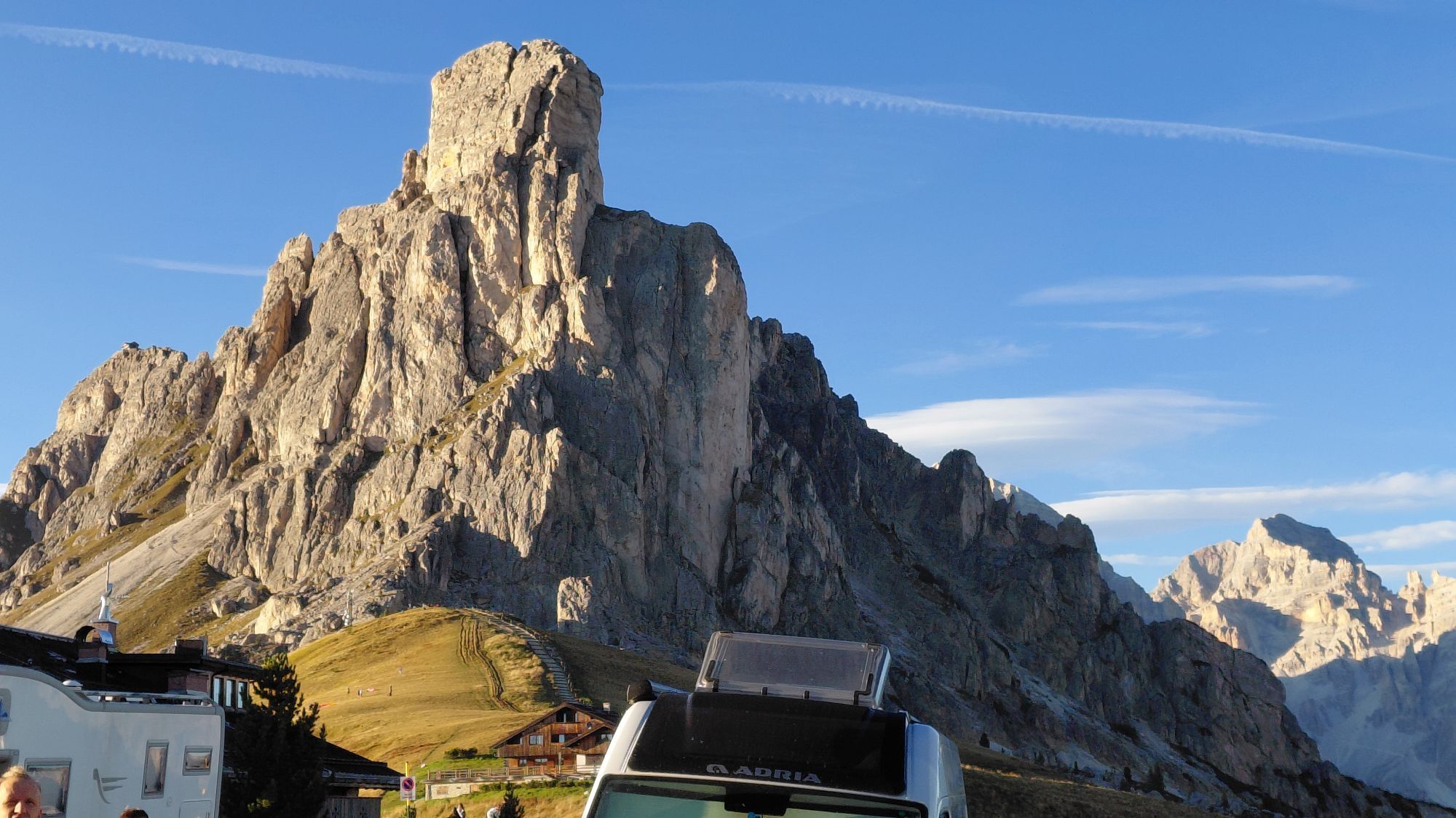
 © Rupert DreißgerVytvořeno dne 20.09.2025
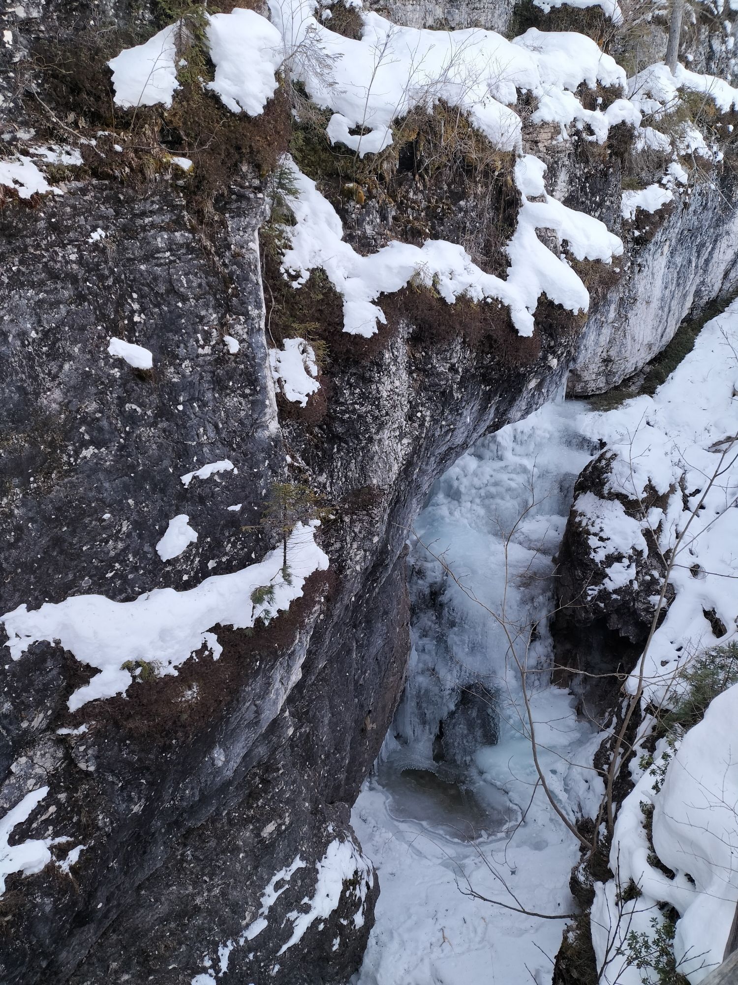
 © Rupert DreißgerVytvořeno dne 20.09.2025
 © Rupert DreißgerVytvořeno dne 20.09.2025
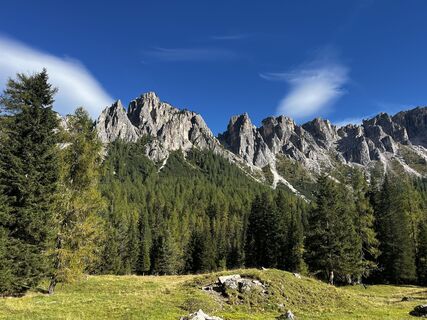
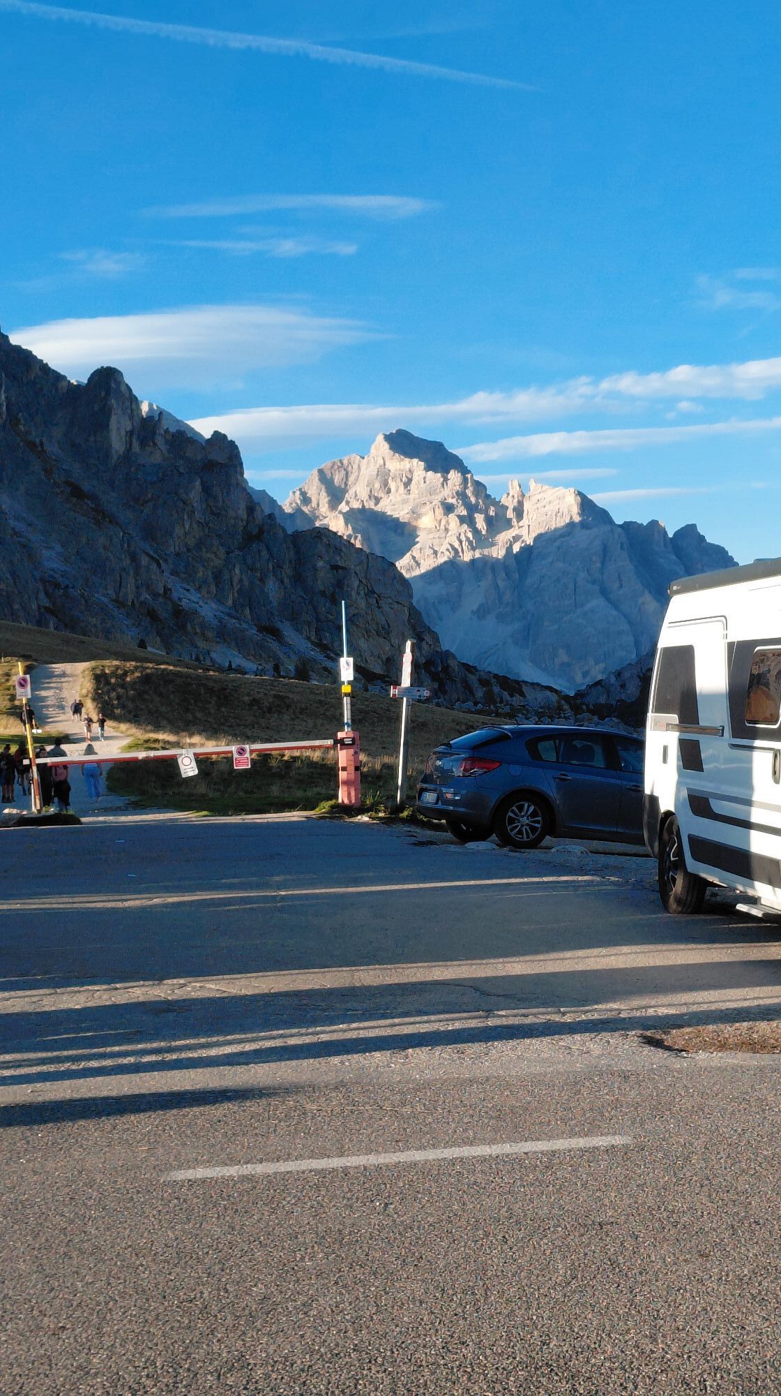
 © berendoenemaVytvořeno dne 20.09.2025
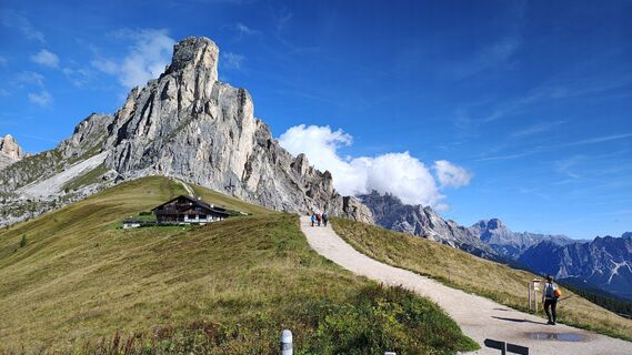
 © Sbalchiero AndreaVytvořeno dne 03.09.2025
 © Gianfranco IdiniVytvořeno dne 15.06.2025
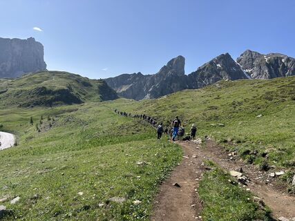 © Gianfranco IdiniVytvořeno dne 15.06.2025
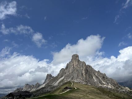 © Gianfranco IdiniVytvořeno dne 06.06.2025
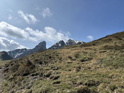 © Gianfranco IdiniVytvořeno dne 06.06.2025
 © István Gábor 1Vytvořeno dne 04.06.2025
 © István Gábor 1Vytvořeno dne 04.06.2025
 © István Gábor 1Vytvořeno dne 04.06.2025
 © István Gábor 1Vytvořeno dne 04.06.2025
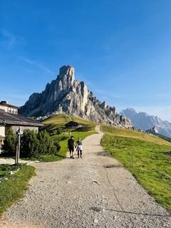
 © gaba babaVytvořeno dne 31.08.2024
 © Marilena LocatelliVytvořeno dne 27.08.2024
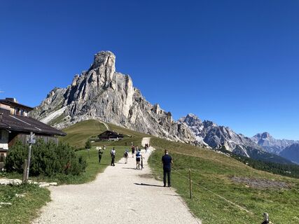 © Marilena LocatelliVytvořeno dne 21.08.2023
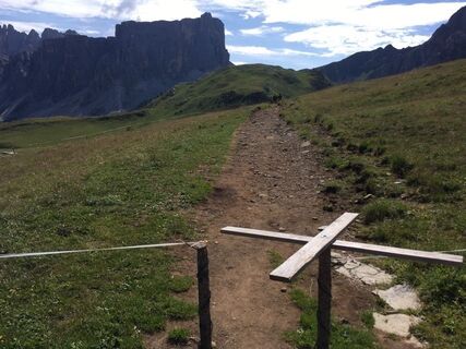 © Frédéric LagandréVytvořeno dne 05.08.2019


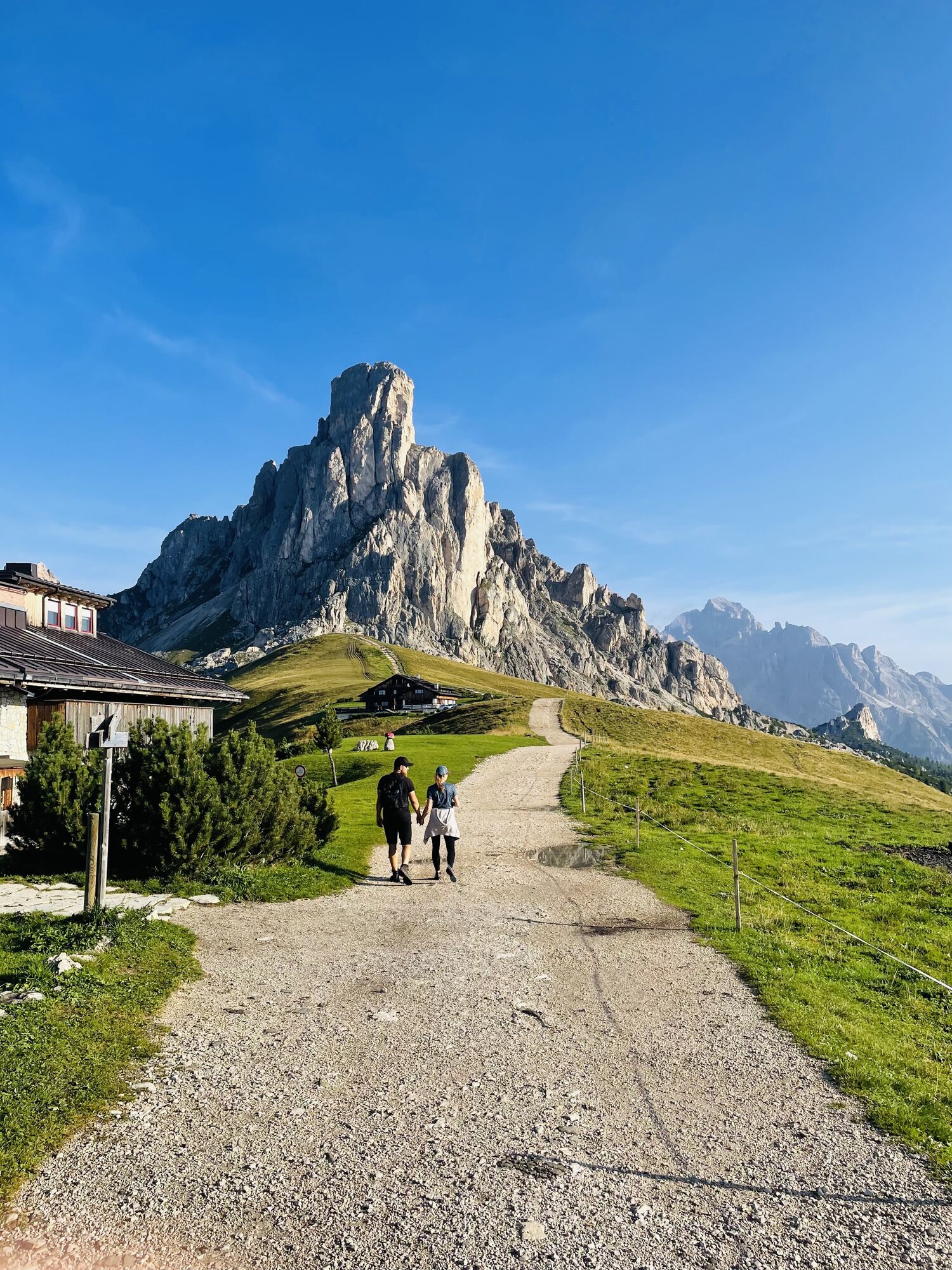


Passo Giau, at 2,305 meters above sea level, is one of the great mountains of Italian cycling and a symbolic climb of the Giro d'Italia. From the Selva di Cadore side, the climb measures 9.9 kilometers...
Passo Giau, at 2,305 meters above sea level, is one of the great mountains of Italian cycling and a symbolic climb of the Giro d'Italia. From the Selva di Cadore side, the climb measures 9.9 kilometers with an average gradient of 9.3 percent: numbers that tell a true challenge, loved by the most trained cyclists and feared by professionals as well.
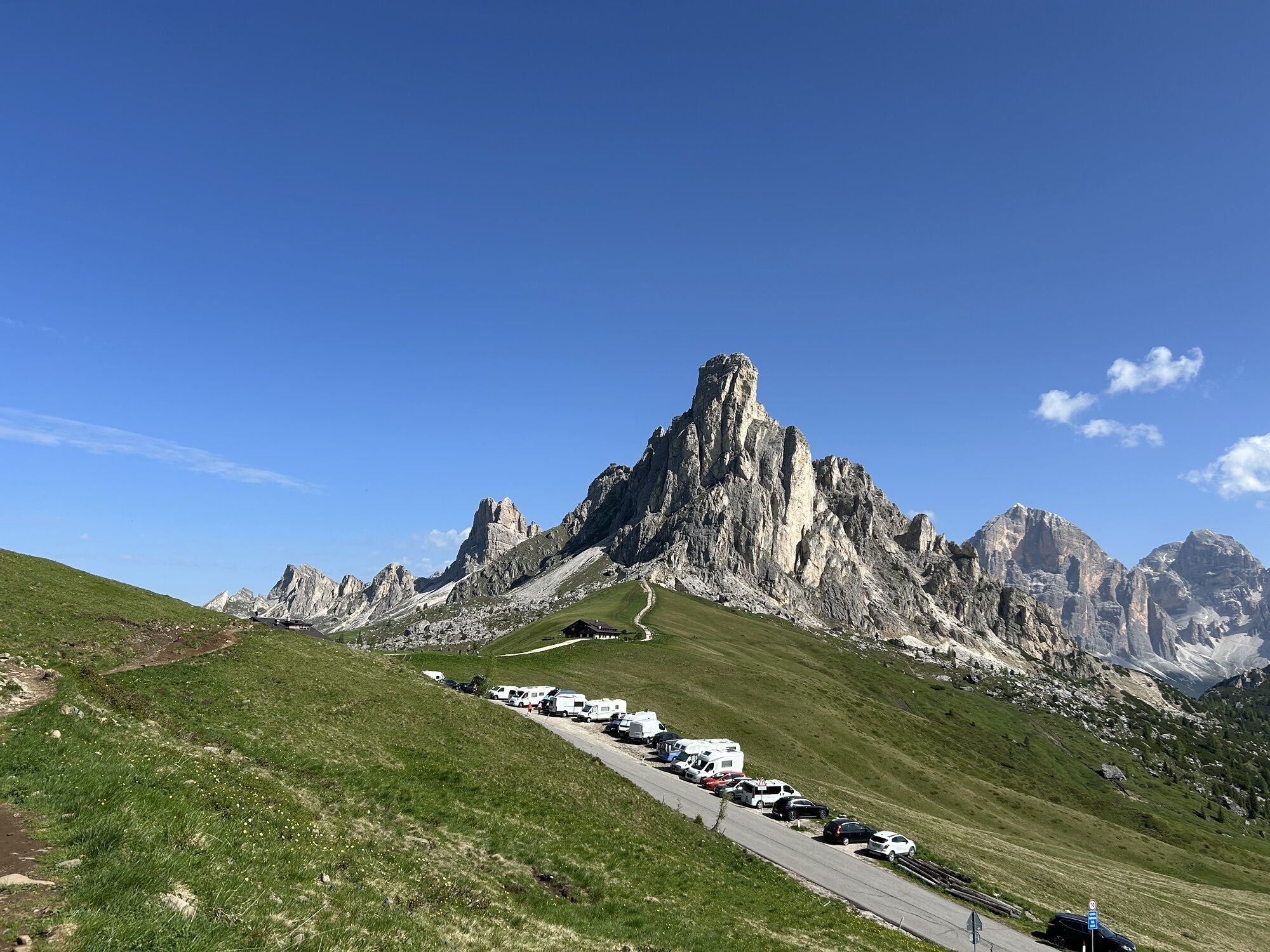
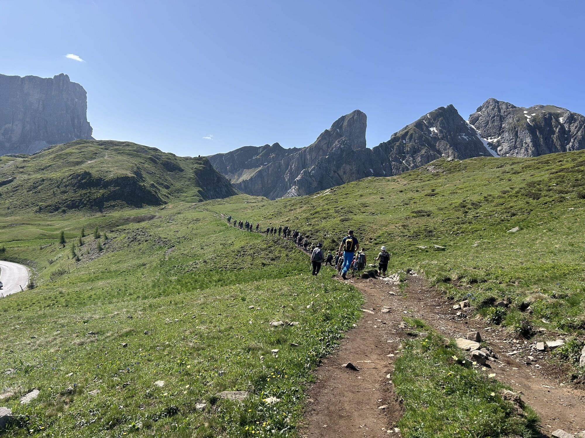
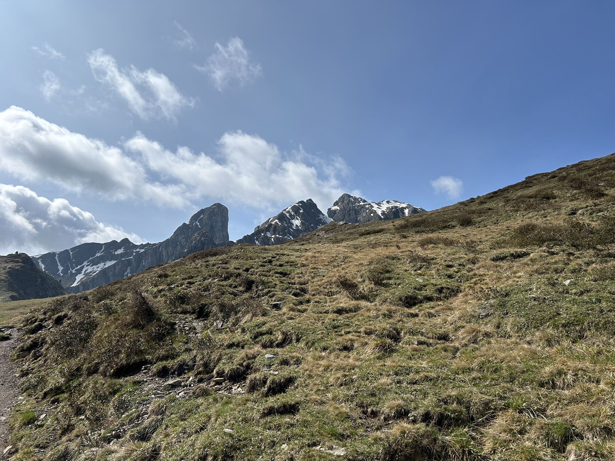
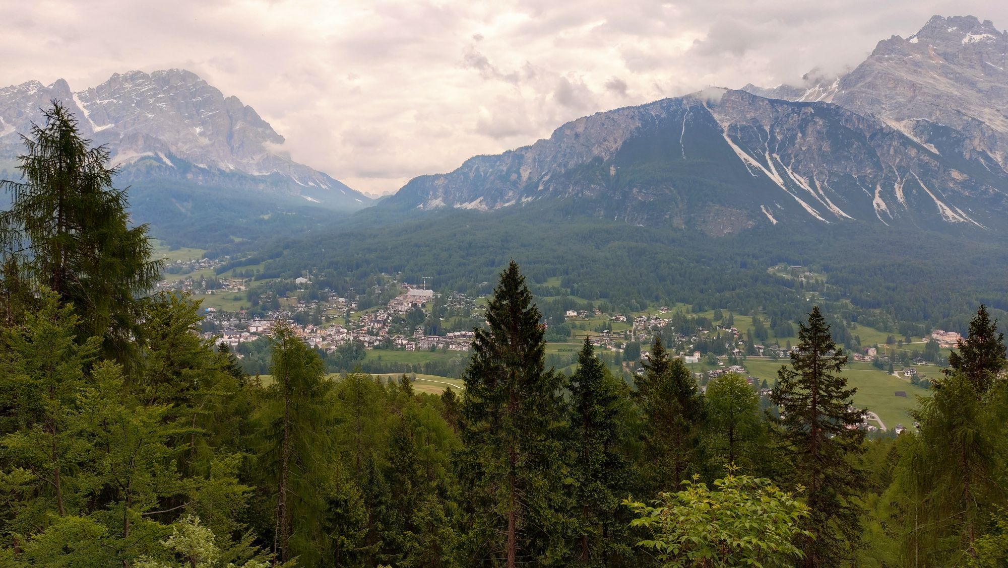
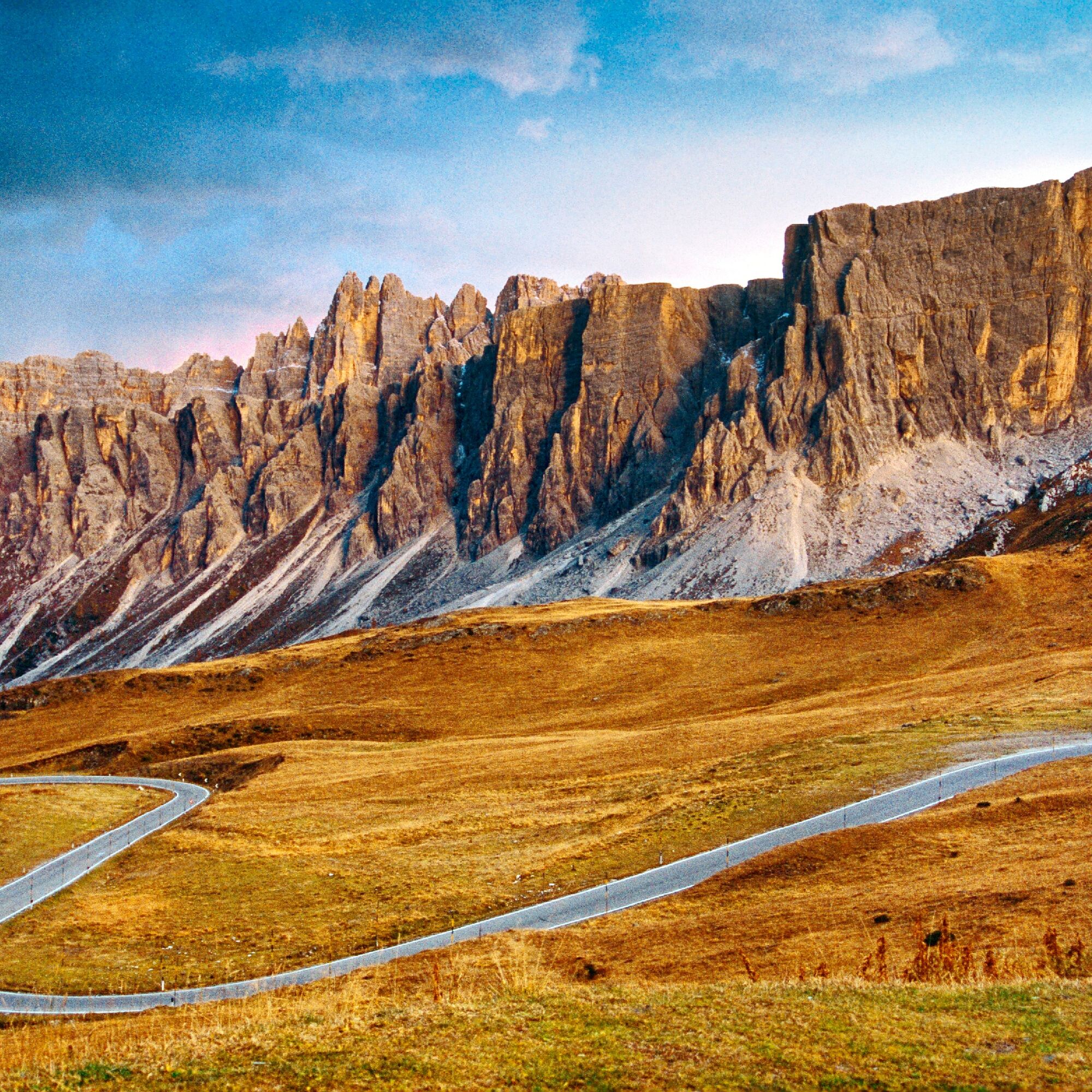
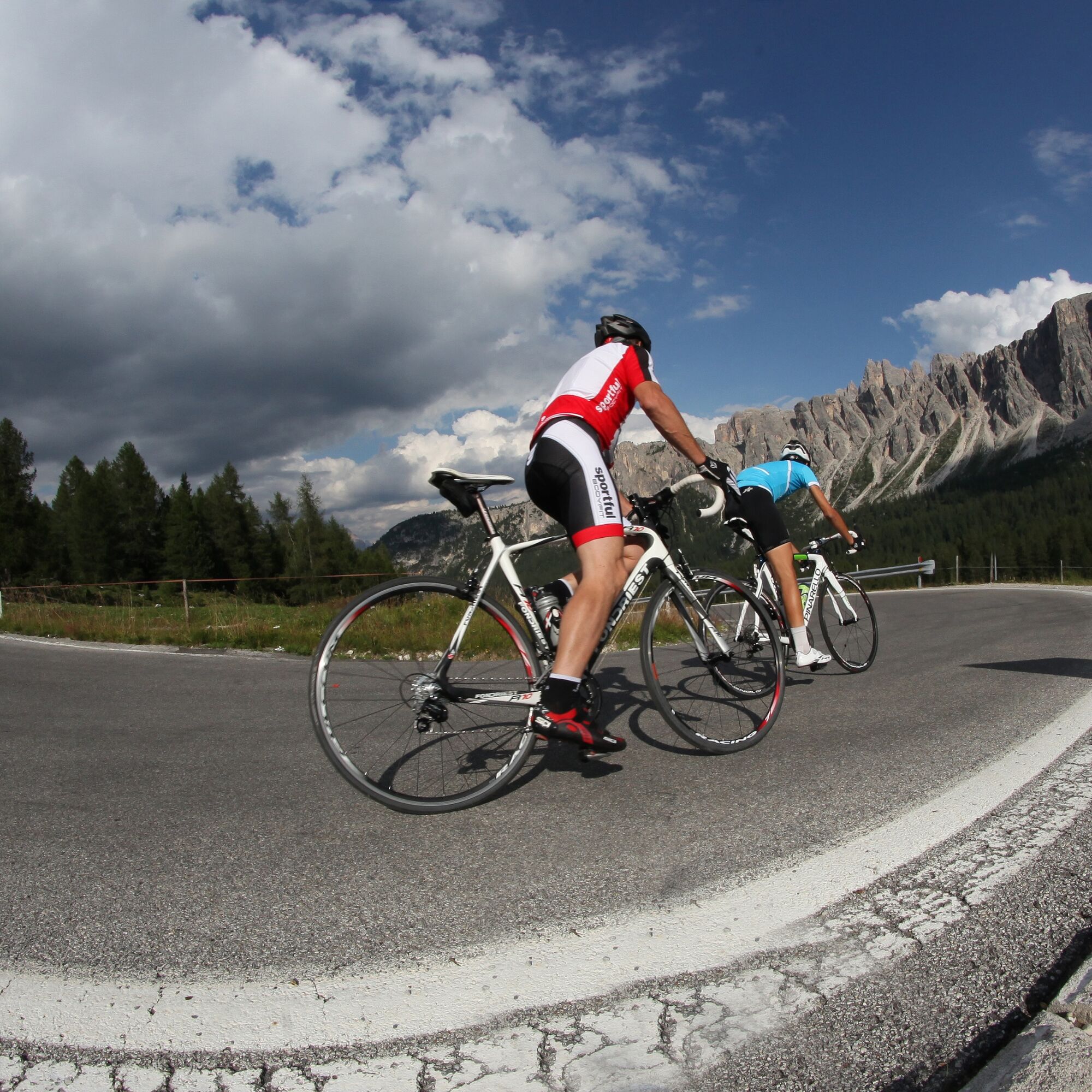
The road climbs through 29 hairpin bends nestled in the Dolomites, giving spectacular views of the Nuvolau peaks and the wide alpine meadows surrounding the pass. Here the fatigue of the climb meets the history of great cycling: every bend recalls the exploits of champions who wrote memorable pages of the pink race.
The Giau made its debut at the Giro d'Italia in 1973 during the Andalo-Auronzo stage, when Spanish climber José Manuel Fuente succeeded on a mountain that challenged even Eddy Merckx. Over the years the pass has become one of the key points of the competition, often decisive in the fight for the Maglia Rosa. Unforgettable was the 2021 stage, tackled in the rain and cold, when Egan Bernal attacked right on the Giau consolidating his lead towards the final victory.

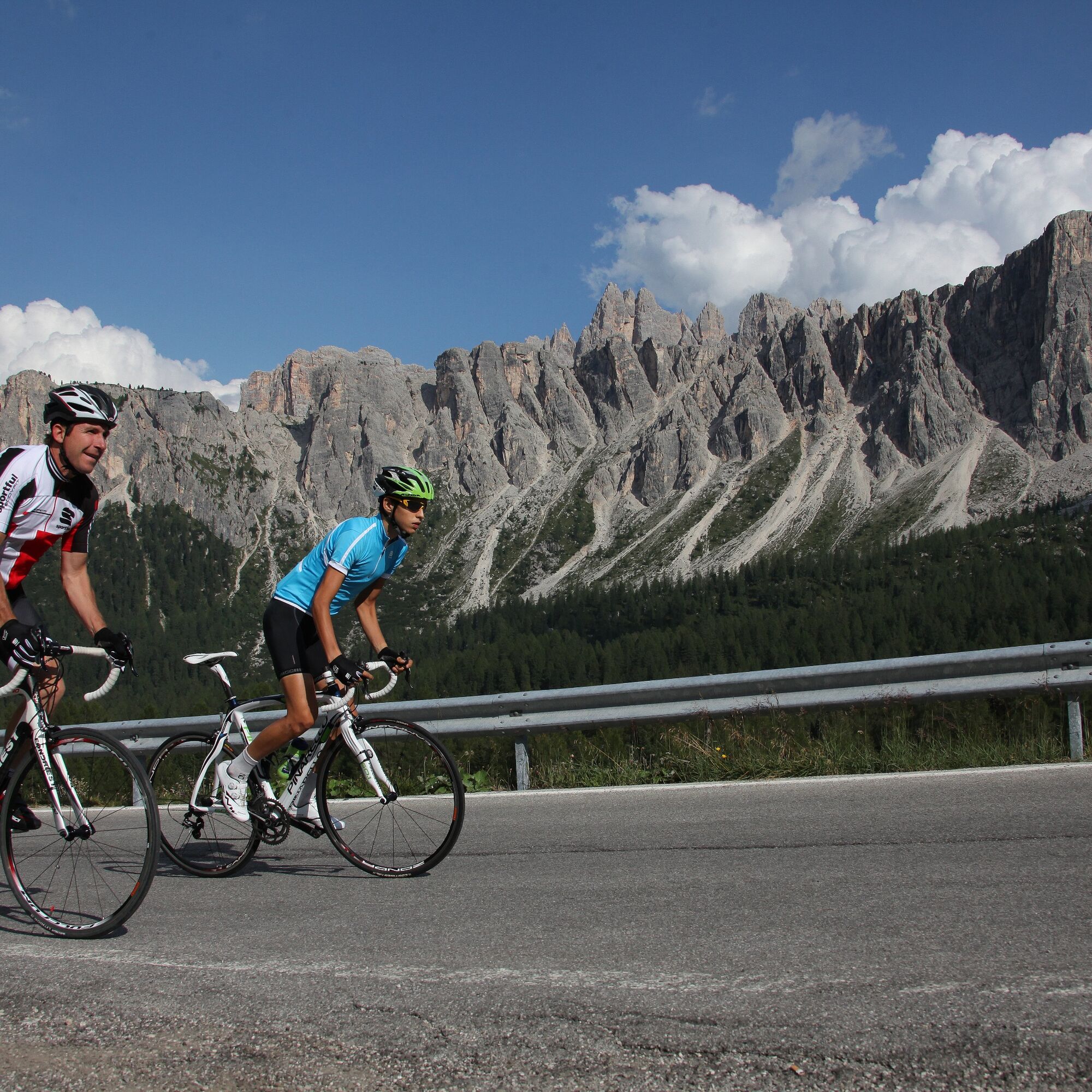
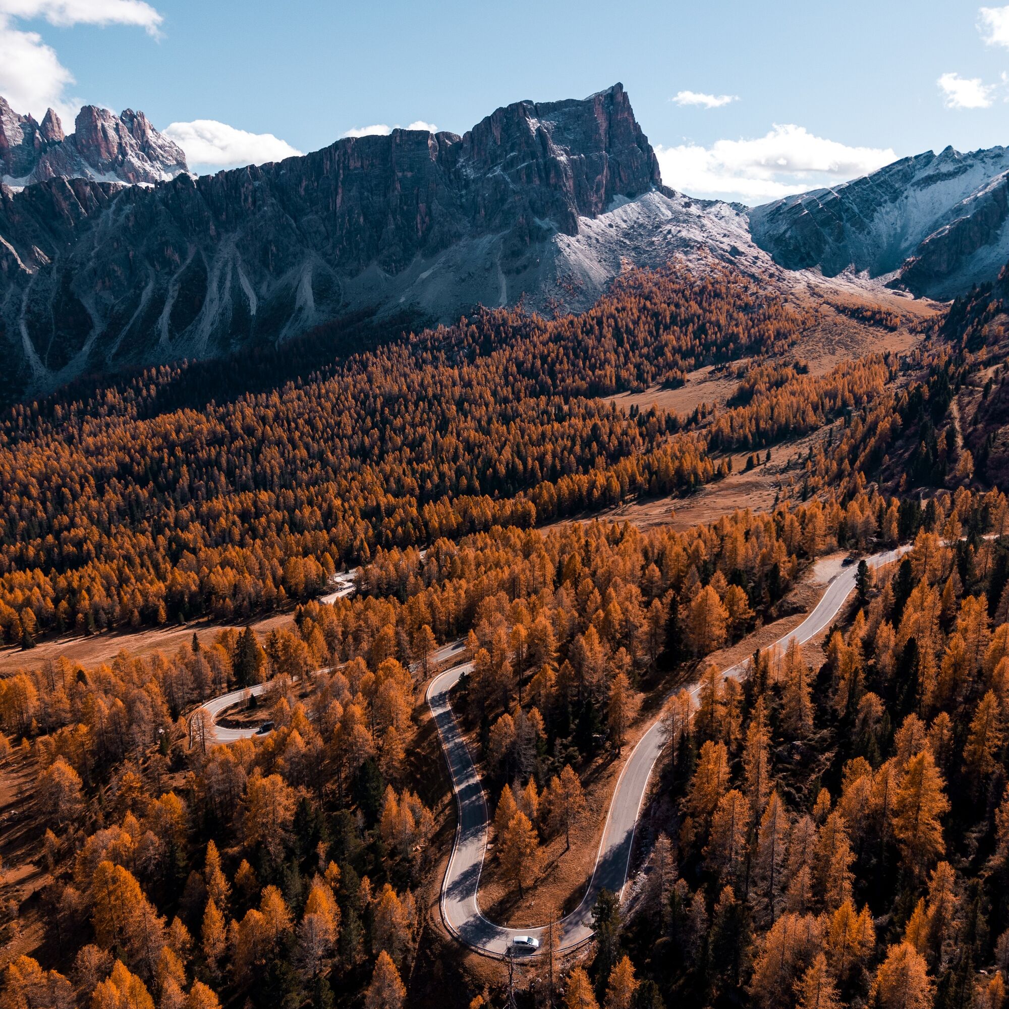
From Selva di Cadore follow the SP638 in the direction of Passo Giau. The climb immediately faces significant gradients and continues without any recovery sections along 29 scenic hairpin bends. After about 10 km you reach the pass at an altitude of 2,305 m, one of the most iconic points of Dolomite cycling and the Giro d'Italia. Be especially careful on the descent to Cortina d'Ampezzo, especially if there is traffic or wet ground.
Ano
Road bike in perfect condition, helmet required, ratios suitable for long sustained inclines, repair kit, spare inner tube, pump or COâ, water bottles and energy supplement.
Passo Giau is a challenging climb, recommended for cyclists with good physical fitness.
4
Pedal to the top in the early morning hours to enjoy the silence of the mountain and relive the epic atmosphere of the Giro d'Italia.
Webové kamery z prohlídky
Roncato da Socrepes
Santa Fosca - Campo Scuola
Bigontina - Mt. Cristallo
Punta Nera
Ra Valles
Ra Valles
Ra Valles
Ra Valles
Ra Valles
Ra Valles
Ra Valles
Cortina Franchetti Faloria
Vitelli - Bergstation
Pieve di Cadore
Rifugio Faloria
Cortina d'Ampezzo - Duca d'Aosta
Cortina pista Labirinti
Tofana - Pista Olimpia
Tofana - Pista Olimpia
Cortina d'Ampezzo - Rifugio Faloria
Cortina d’Ampezzo, 5 Torri
Rifugio Averau
Rifugio Averau
Cortina d'Ampezzo - Col Gallina
Oblíbené prohlídky v okolí
- 4,6
Lago di Sorapis
středníHorská turistika 13,6 km - 4,7
Passo Giau roundtrip
středníTuristika 8,10 km - 4,6
Five Towers circuit (Averau, Nuvolau and Scoiattoli huts) from Passo Giau
středníTuristika 10,8 km - 4,8
Lago di Sorapis A/R
středníTuristika 16,4 km - 5,0
Magnifique et très variée
středníTuristika 12,6 km - 5,0
Lago Federa
středníTuristika 14,6 km - 4,8
Fonda-Savio Hütte , Antornosee
středníTuristika 8,73 km - 5,0
Cortina Superpanorama FREERIDE
Mountainbike 54,2 km - 4,5
5 Torri Freeride-Tour
heavyMountainbike 30,2 km - 4,5
Misurina Hütten
středníTuristika 13,3 km

Pěší turistika a stopování


Nenechte si ujít nabídky a inspiraci pro vaši příští dovolenou
Vaše e-mailová adresa byl přidán do poštovního seznamu.