







From Cembra to Lago Santo

Úroveň obtížnosti: 2
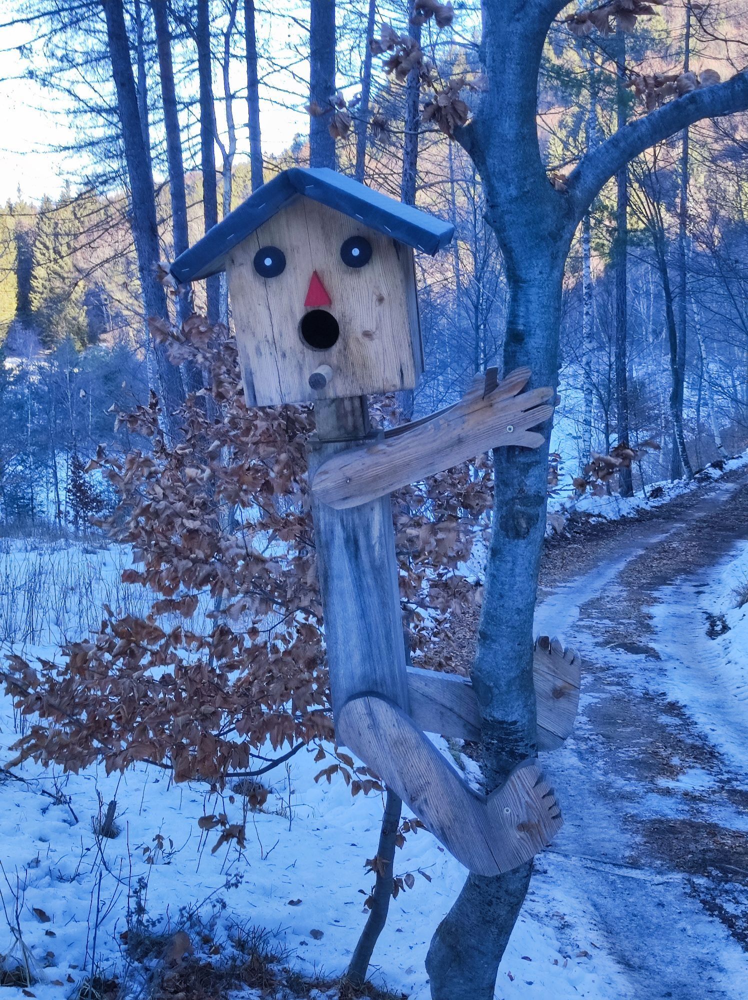
The famous German engraver and painter Albrecht Dürer followed this route in 1494 as did Napoleonic troops some three centuries later on their way to the Castle of Segonzano.
The route develops in the woods,...
The famous German engraver and painter Albrecht Dürer followed this route in 1494 as did Napoleonic troops some three centuries later on their way to the Castle of Segonzano.
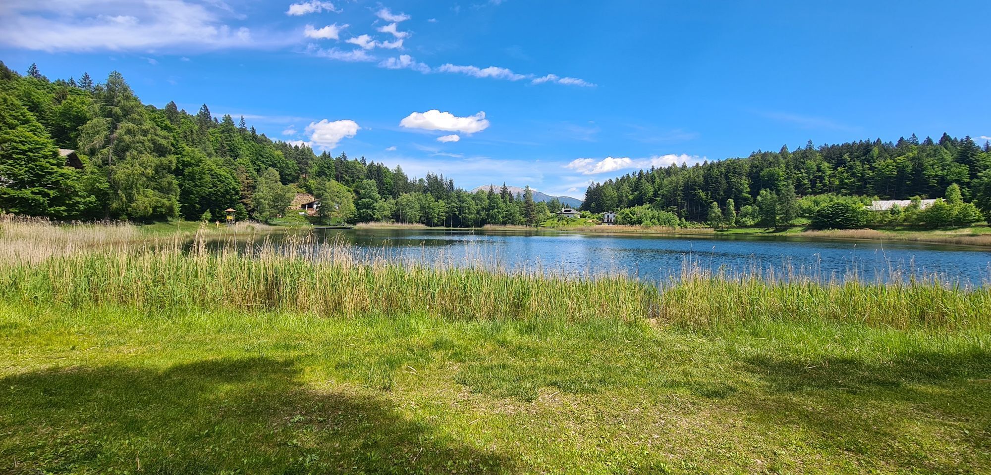
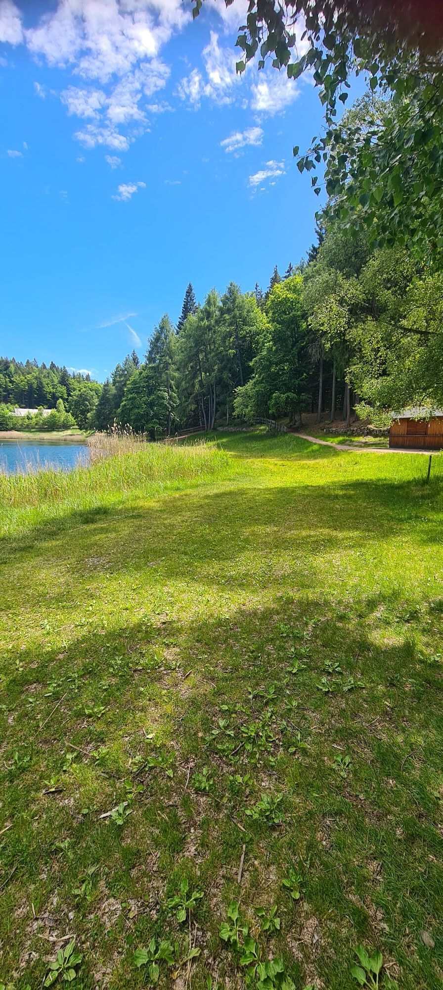
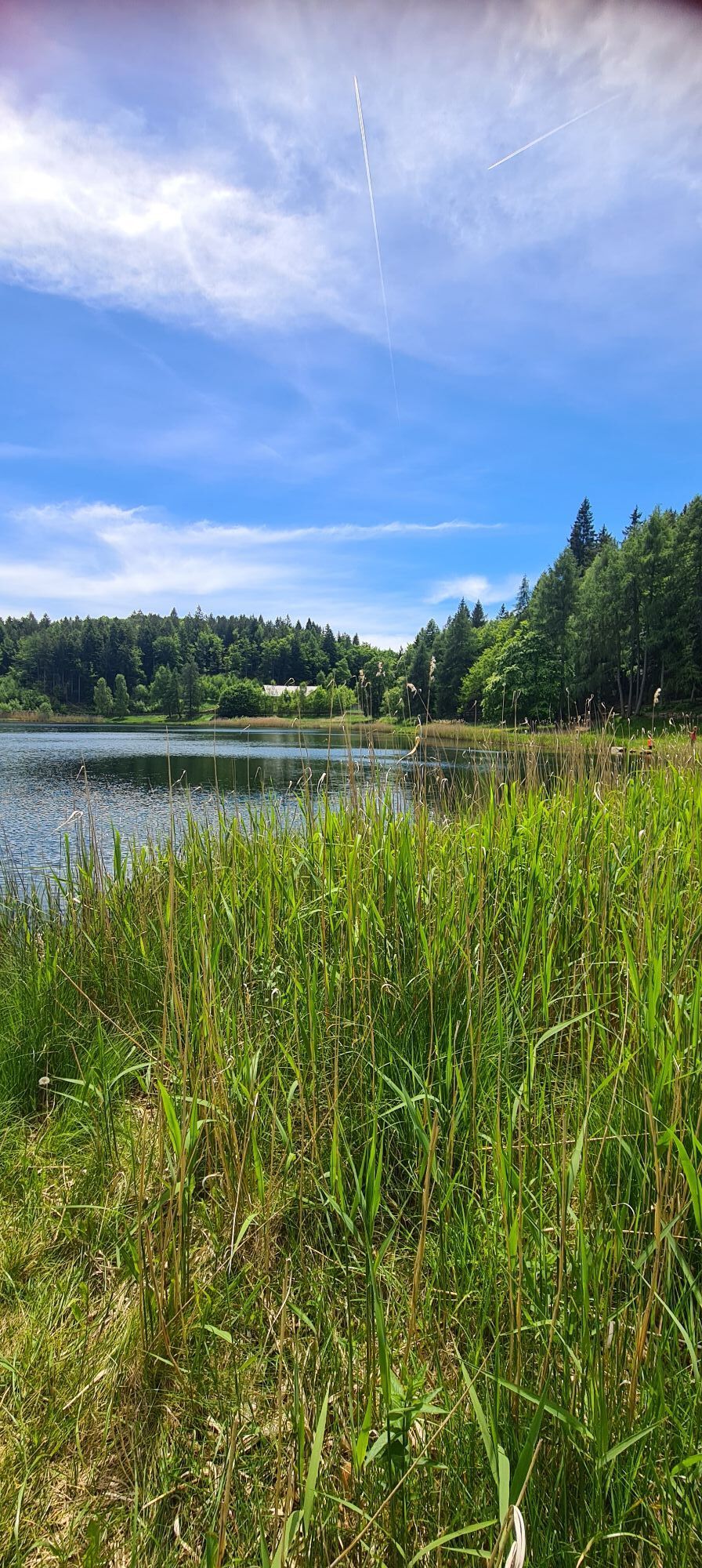
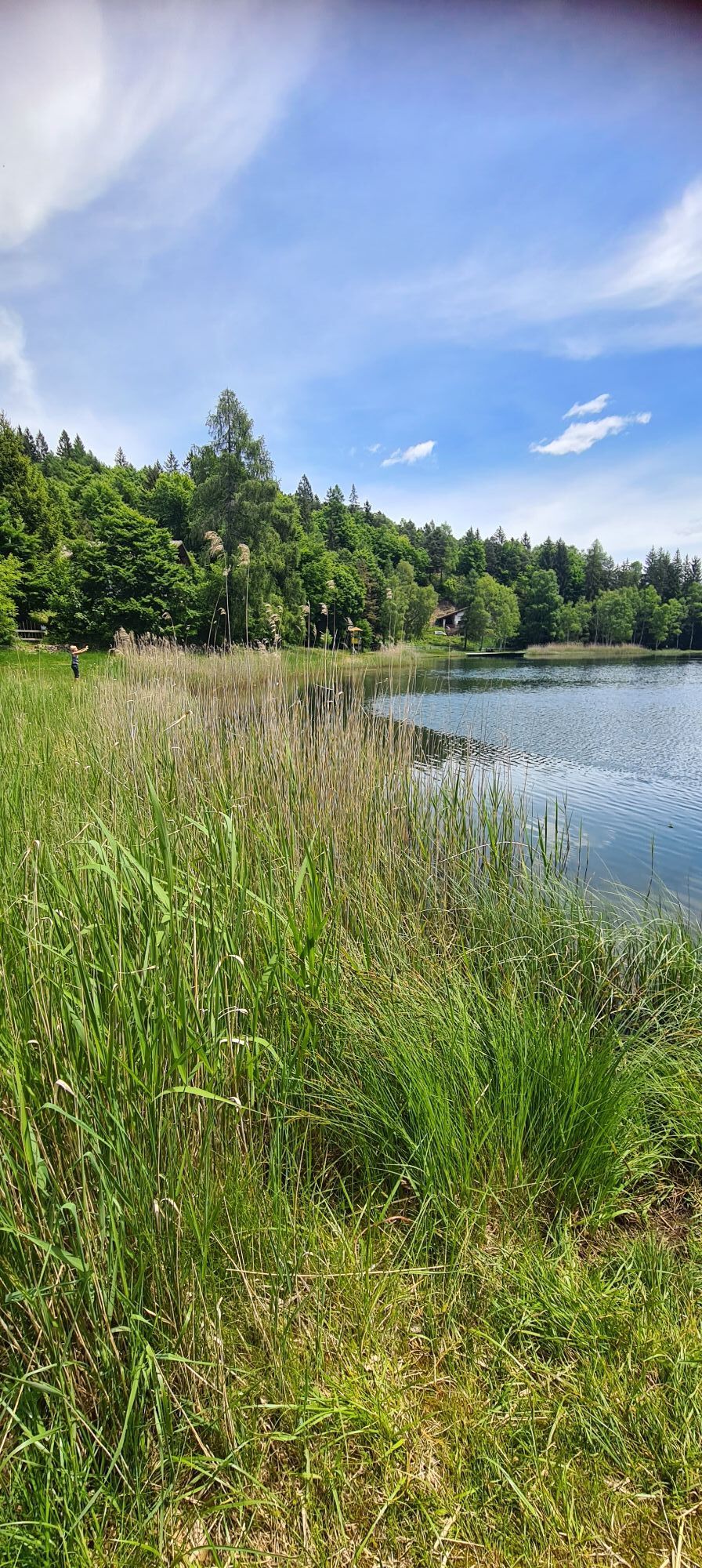
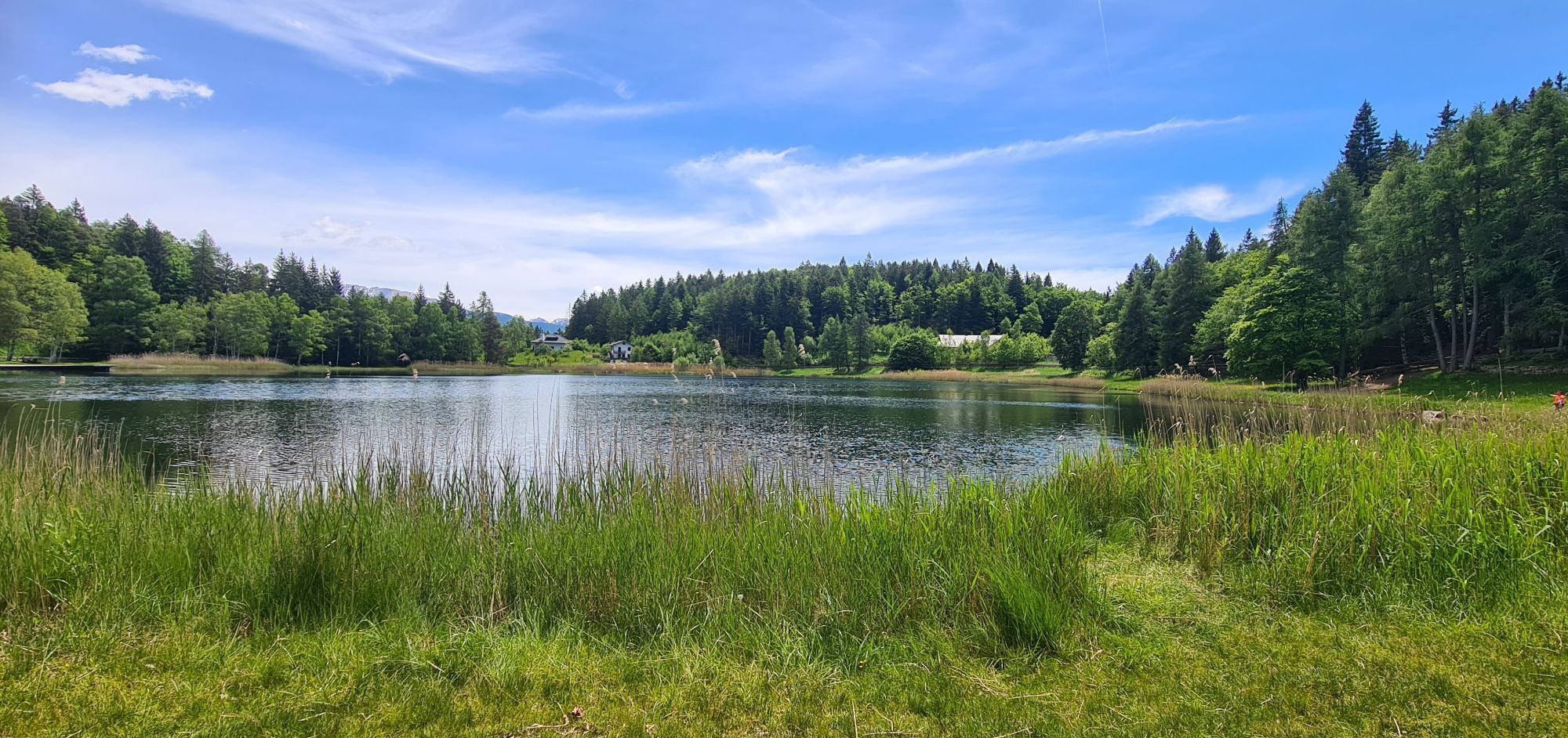
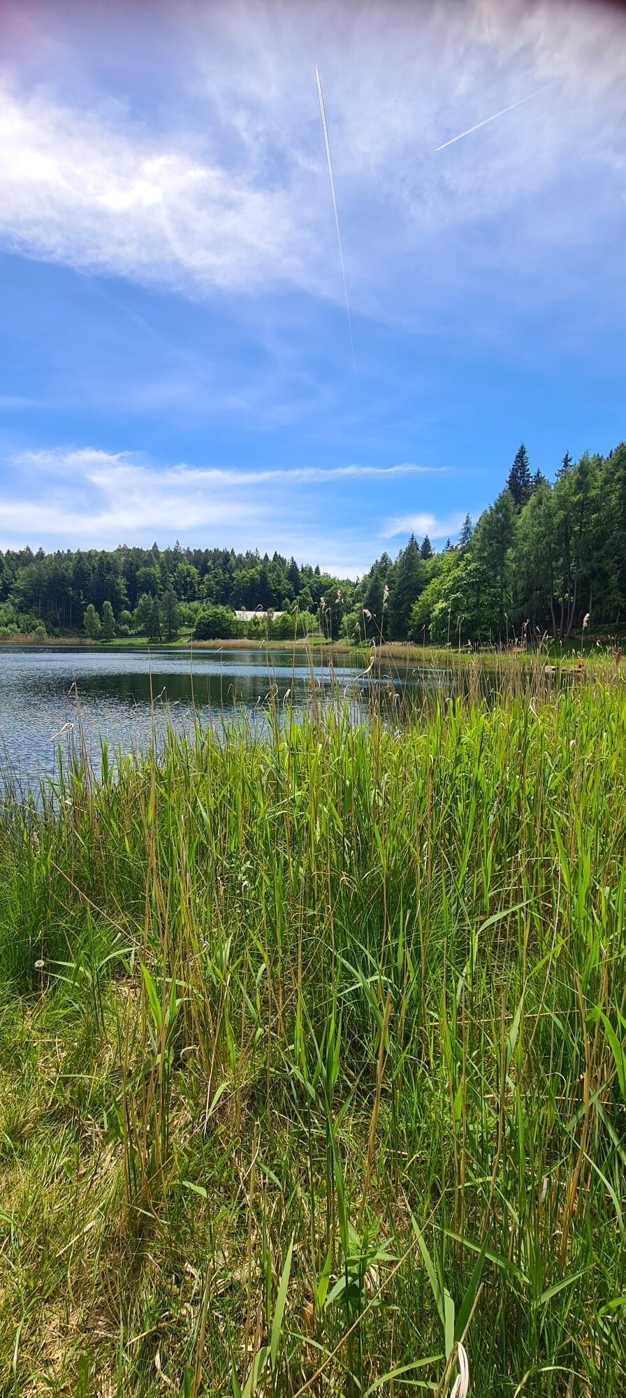
The route develops in the woods, interspersed with clearings where the "huts" of the locals, with the porphyry roof slabs according to the tradition or more modern ones, have been built, and with meadows protected by the typical dry stone walls. Halfway along the ring route appears the Santo lake, of immaculate beauty.

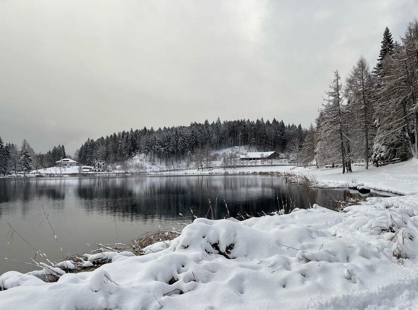
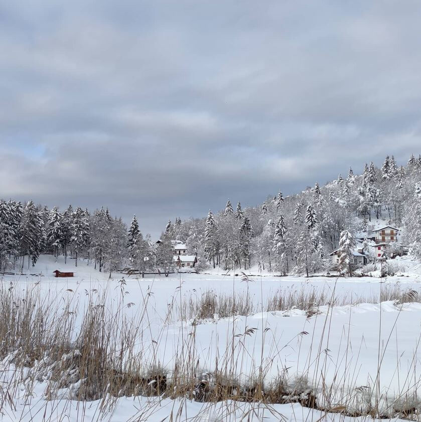

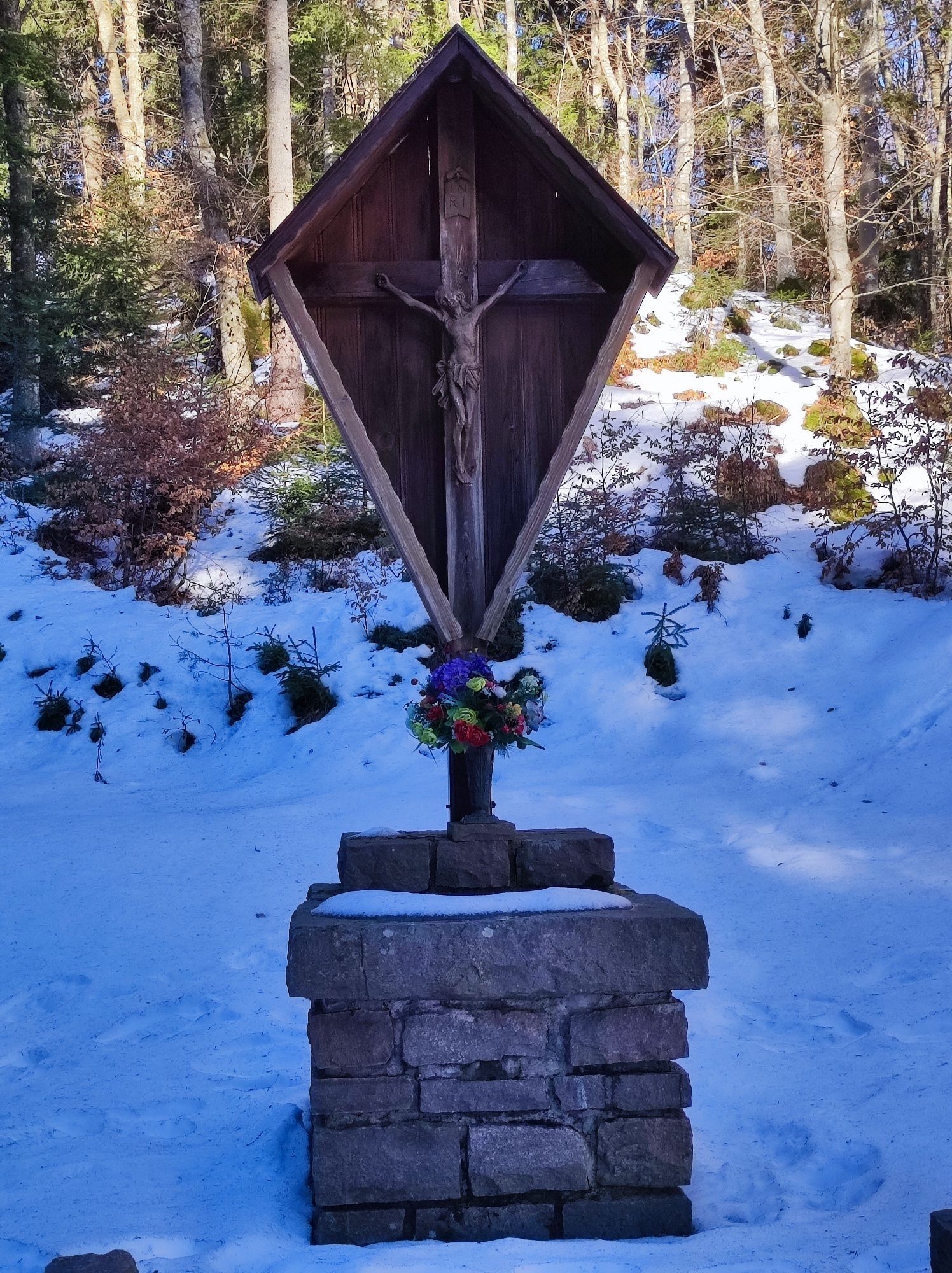
From the car park in front of the winery 'Cantina Valle di Cembra', walk in direction Faver along the main road. At the traffic lights, leave the main road and go left up a road which climbs to the little square in the loc. "Fadana". Once there, take a road to the right of the fountain that climbs through vineyards towards a wood. After a very steep stretch of cement road, you reach a crossroads. Take left (do not consider the road running downhill) in order to climb further up into the wood. At the third hairpin bend, turn right along a track which runs slightly downhill. At the next crossroads, bear left in order to resume the climb. As it climbs further, the path becomes less steep and converts into a tractor road. Where the path reaches a further crossroads, head downhill along the forest road, the lower section of which is cemented. At the bottom of the steep descent, follow the signpost for 'Ponciach/Lago Santo' and go on gently uphill and into the wood on a paved road. When you reach a house on the right side of the road, the path that takes you to the nice mountain hamlet of Ponciach is to be found in the middle of the small meadow. Signage is now abundant. Follow the signs for 'Lago Santo', i.e. continue uphill along a nice road, large sections of which are paved with porphyry. When you reach a crossroads at a place called 'Casalini, follow the signs for 'Zise', i.e. continue along a cobbled road until you walk past a large wooden wayside shrine and see a sign for 'Lago Santo' on the left. Take this forest road which at first runs just underneath the ridge of Monte Pincaldo, then takes you to a place called 'Sach' and continues towards 'Rifugio Lago Santo'. Now make a little detour to the left, across lovely meadows dotted with mountain huts: this area is called 'Veggiose. From the lake, follow the signs for Cembra ('E5 – 410') to go back to the starting point. At a place called 'Sant'Antonio' where the path, which has a few steep sections, reaches a crossroads with a forest road, take the latter and follow it until you reach a signpost for the ancient Via Claudia Augusta. Follow it in order to get back to Fadana and the starting place. The route follows some sections of one of the most spectacular modern European long-distance paths: the E5 trail, which runs from the Atlantic coast in France (though the majority of E5 ramblers start from Lake Constance) to the city of Verona. In ancient times, this area was crossed by an alternative stretch of the Via Claudia Augusta, and in the Middle Ages, there was also a similar route called 'Semita Caroli', both used until embankments were built along the Adige River in the 20th century; there was indeed a real need for such a bypass because when the Adige River burst its banks, it frequently made the roads of Valle dell'Adige impassable. The famous German engraver and painter Albrecht Dürer followed this alternative route across Valle di Cembra in 1494 as did Napoleonic troops some three centuries later on their way to the Castle of Segonzano.
Hinking shoes, hiking poles and warm winter clothes.
Experience walking along irregular mountain trails is recommended. It may happen that the path is not clear from snow. In the event of fresh snow, microspikes are recommended. Be careful of ice when temperatures are particularly low.
Please note that the practicability of the itineraries in a mountain environment is strictly linked to the contingent conditions and is therefore influenced by natural phenomena, environmental changes and weather conditions. For this reason, the information contained in this page may have changed. Before leaving for a tour, make sure the path you will approach is still accessible by contacting the owner of the mountain hut, the alpine guides or the visitor centres of the nature parks, the info offices of the local tourist board.
From south or north, on the A22 Brennero motorway, leave the motorway at the Trento Nord exit (22.5 km from the toll gate), continue northwards on the Main Brennero Road SS12 until the turn-off for Lavis, then take the Lavis - Castello di Fiemme Main Road SS612 which will take you to the Cembra Valley.
From the Trento bus station, take line B102 towards Cavalese (Trento - Cembra - Capriana - Cavalese) and get off at Cembra.
Several free parking lots are available along Viale IV Novembre (the main street that crosses the town of Cembra).
2
Ufficio Turistico Cembra - Tel. +39 0461 683110 - info@visitvaldicembra.it – www.visitvaldicembra.it
Each place has its own history and Santo Lake hides a bit of sacred magic ... discover its history in the legends on https://www.visitfiemme.it/en/info/lake-santo_7416
ATTENTION: Before starting the route, check the snow conditions with our offices. Tel. +39 0461 683110 - info@visitvaldicembra.it
Oblíbené prohlídky v okolí
- 4.7
Burrone Klettersteig (B)
Via ferrata 4.30 km - 3.6
Rio Secco (D)
Via ferrata 2.42 km - 4.2
Tramin - Lochweg nach Graun
světloTuristika 9.59 km - 4.8
Klettersteig Val del Ri
středníVia ferrata 4 km Malga Monte Corno
středníTuristika 10.3 km- 3.7
Rund um den Castelfelder
světloTuristika 6.68 km - 4.3
Baselga di Piné - Marini - Ricaldo - Serraia
světloTuristika 9.34 km - 4.3
Klettersteig Fennberg
světloVysokohorská turistika 11.6 km - 5.0
Von Fangart nach Margreid
světloMountainbike 60.8 km - 5.0
From Cembra to Lago Santo
středníTuristika 13.8 km
Pěší turistika a stopování


Nenechte si ujít nabídky a inspiraci pro vaši příští dovolenou
Vaše e-mailová adresa byl přidán do poštovního seznamu.





