






On the tracks of an ancient swampy plain
Úroveň obtížnosti: 2
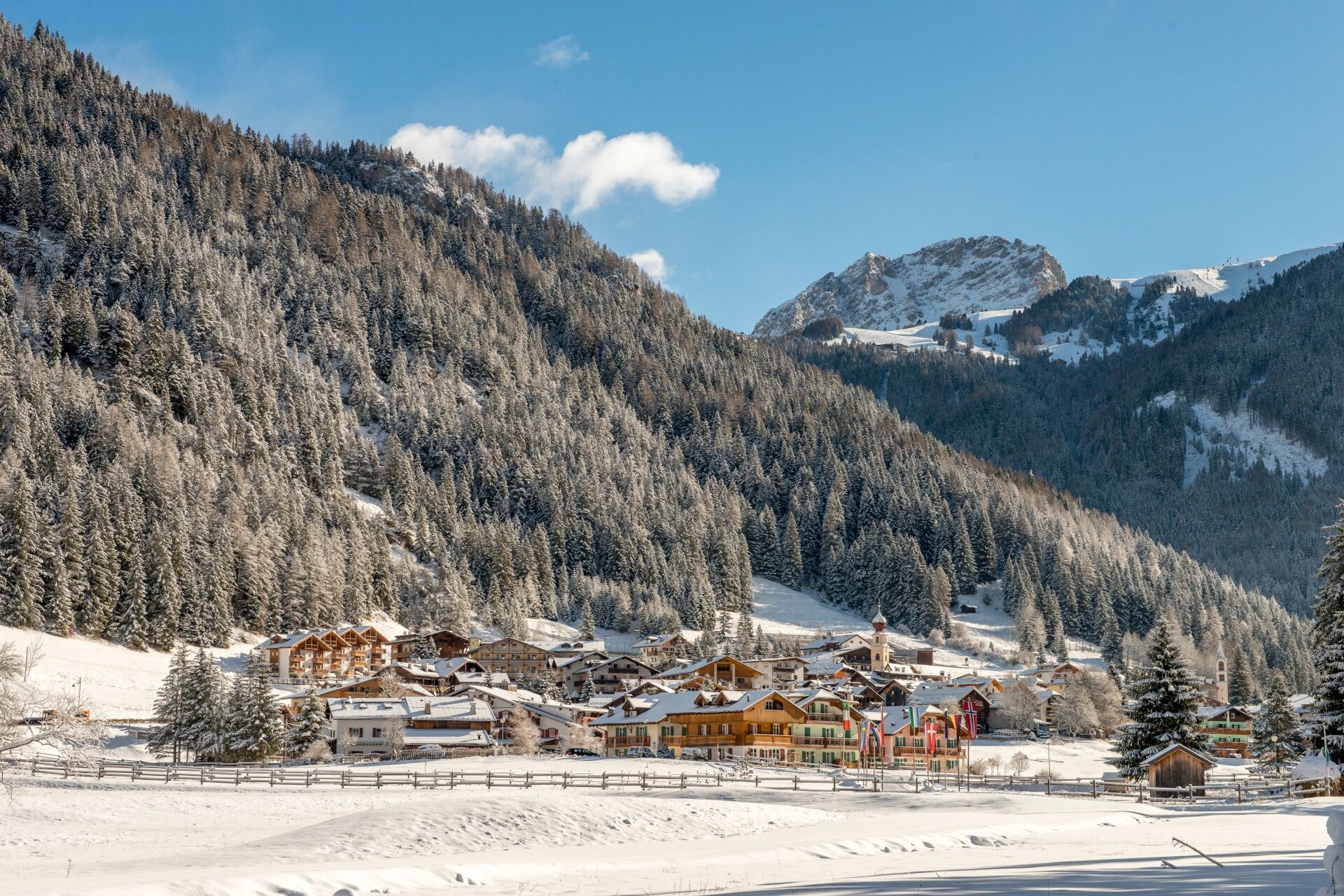
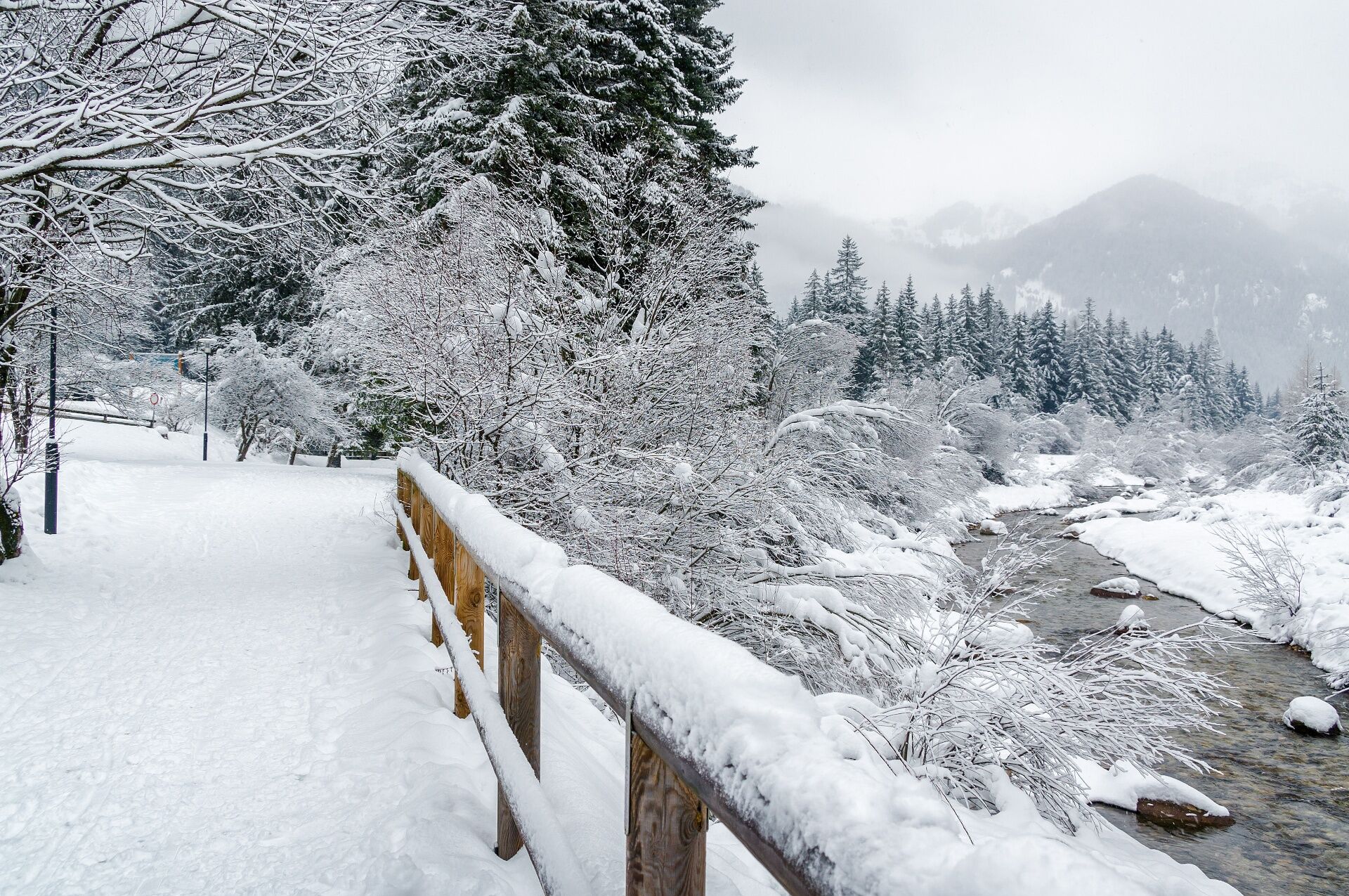
This gentle loop follows both banks of the Avisio River through a landscape that once looked like a swampy plain. It’s no coincidence that Canazei comes from the Latin "cannacetum", meaning "reed bed"....
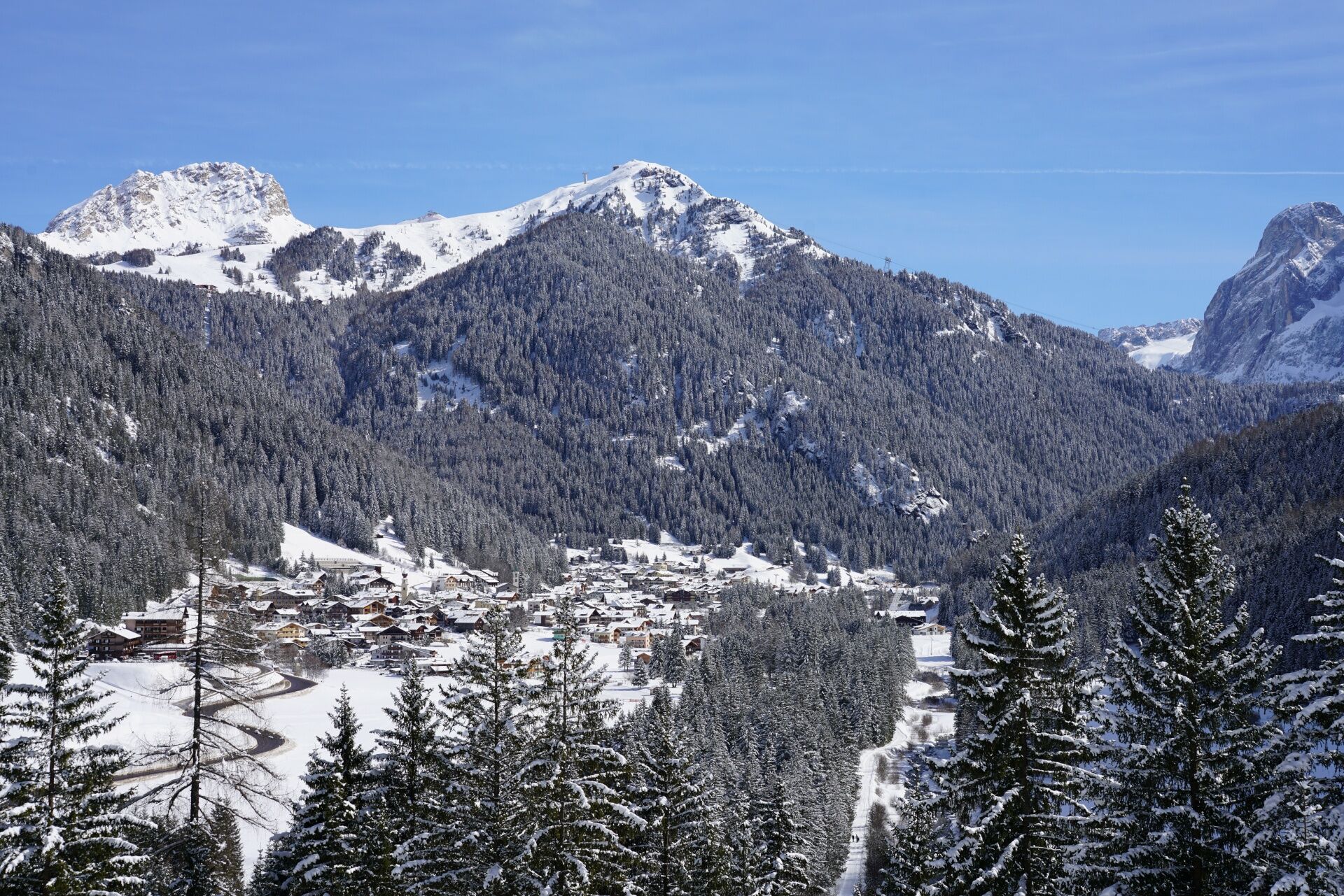
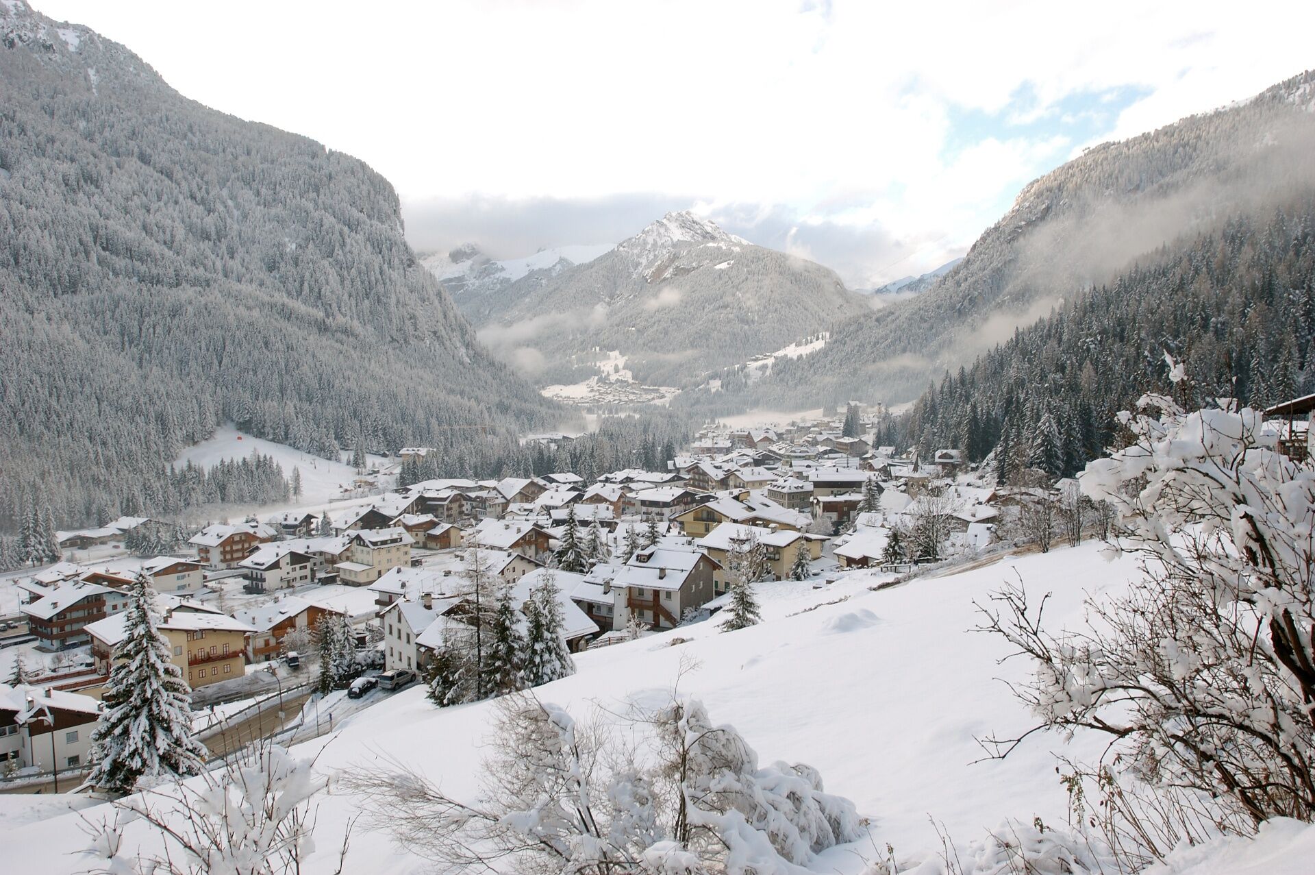
This gentle loop follows both banks of the Avisio River through a landscape that once looked like a swampy plain. It’s no coincidence that Canazei comes from the Latin "cannacetum", meaning "reed bed". Along the way - partly at the edge of the forest - you'll find plenty of places to pause and take in the surroundings. Around the Soreghes plain, you may spot paragliders and hang gliders coming in to land, while near the base station of the Col Rodella cable car you'll find a sports area with a climbing gym, a playground and a refreshment stop.

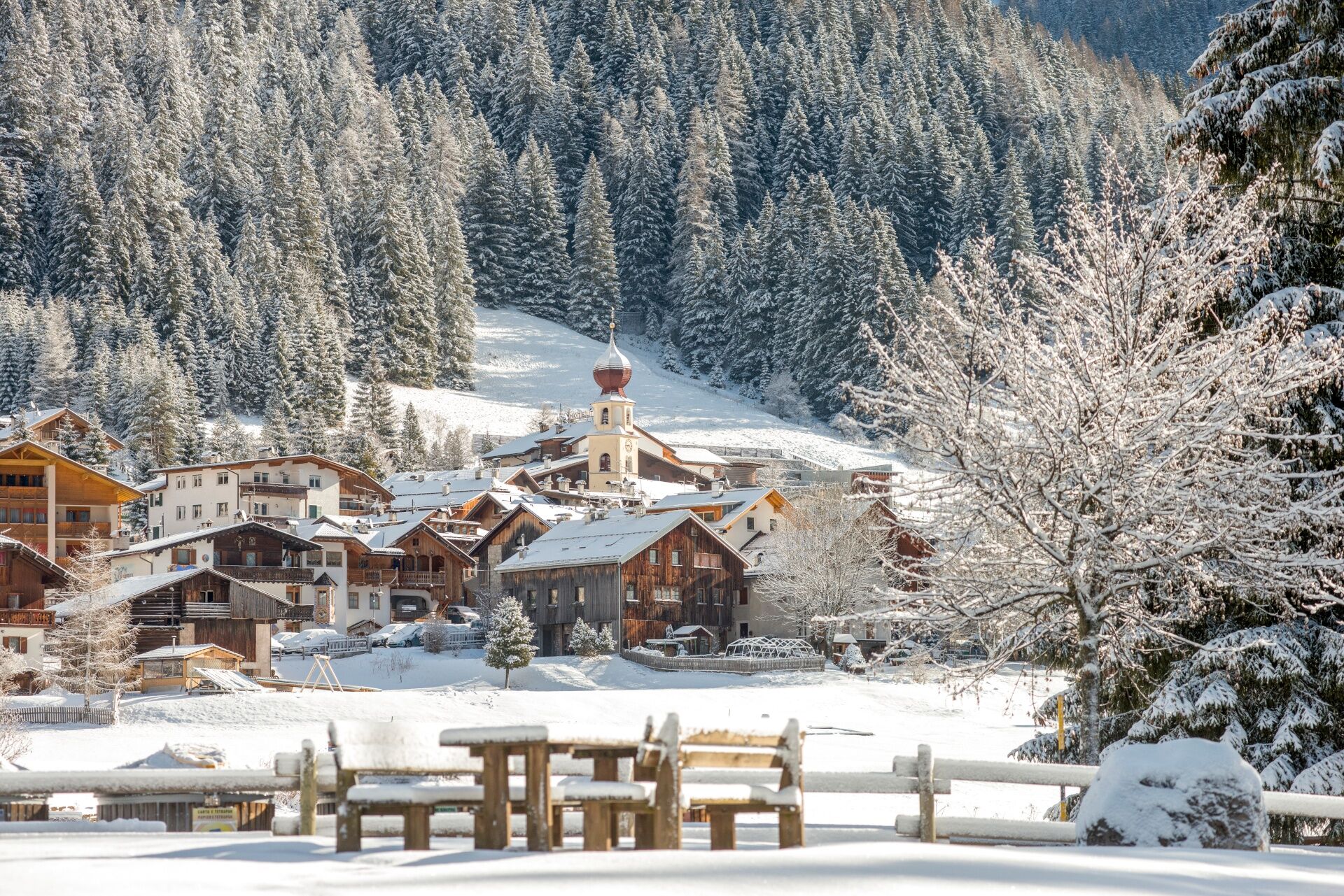
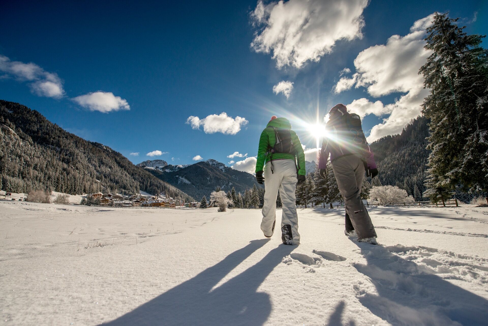
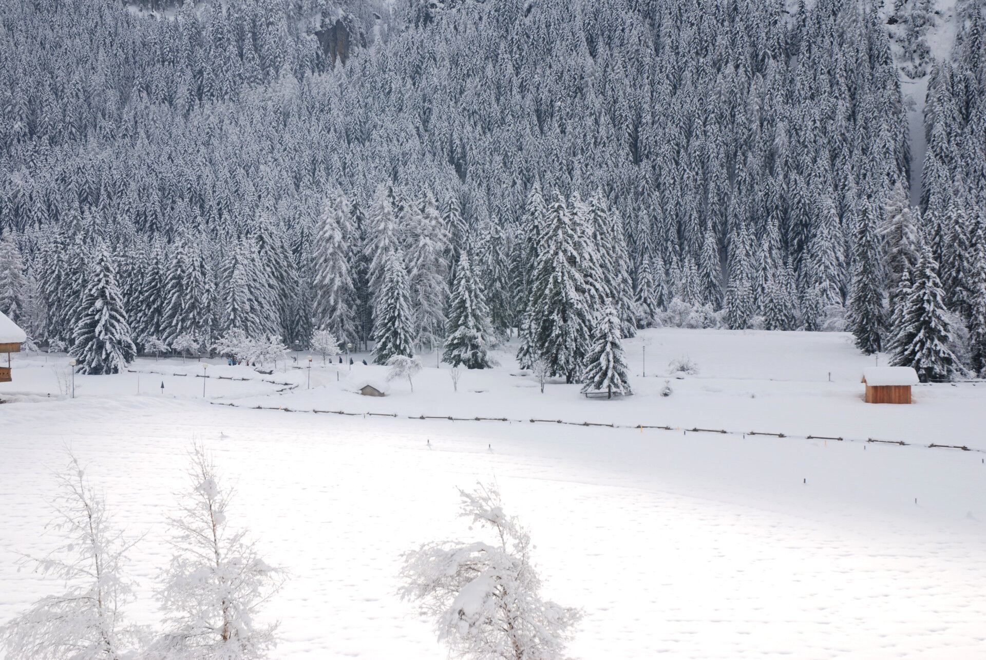
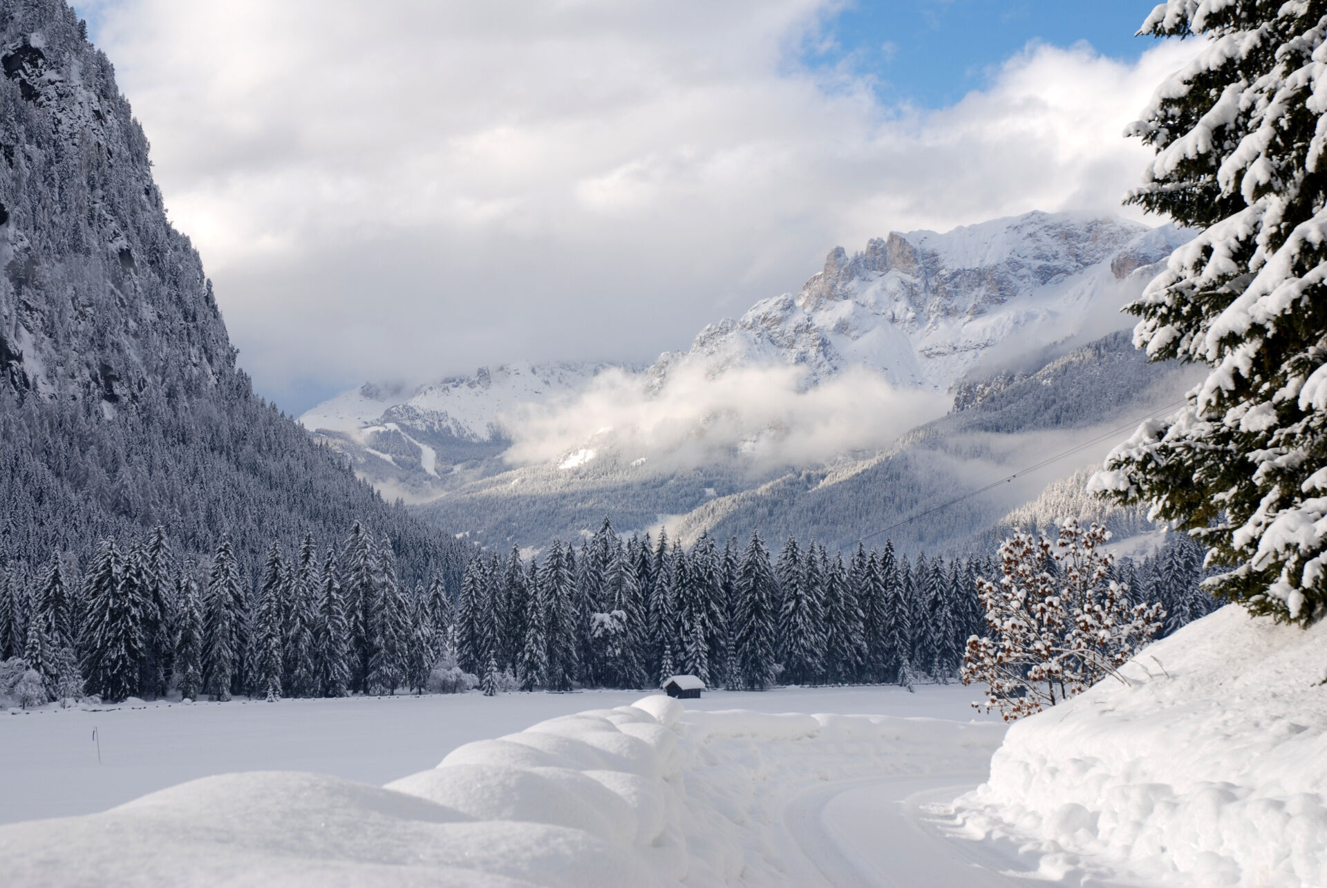
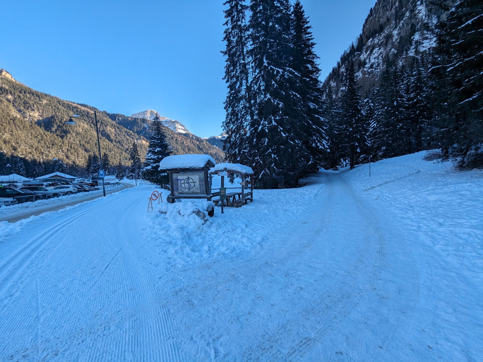
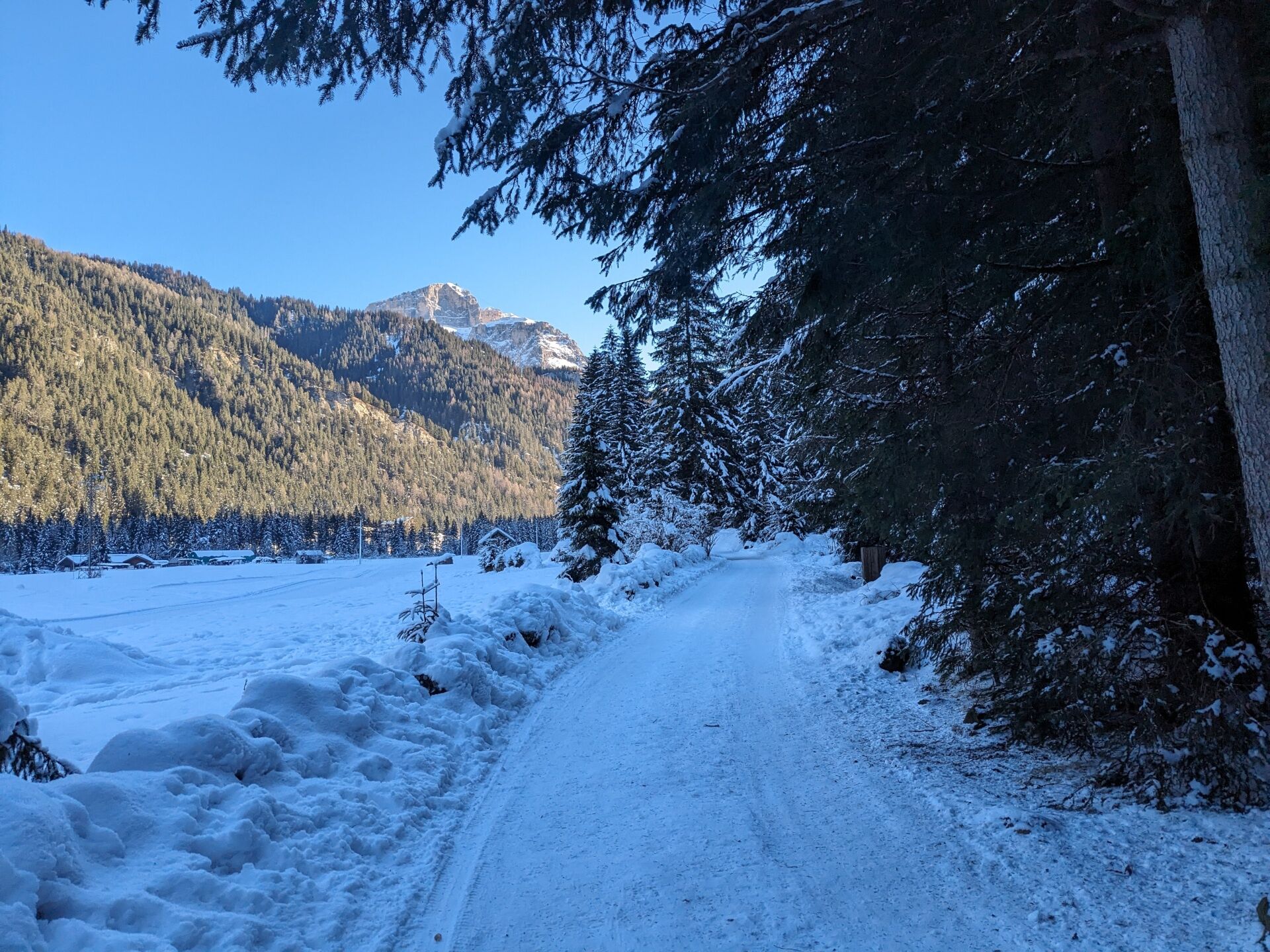
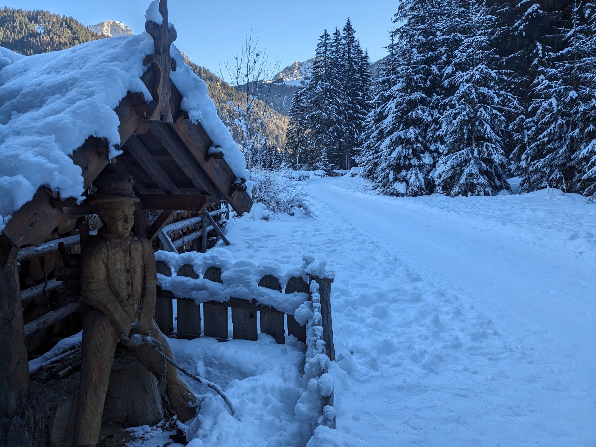
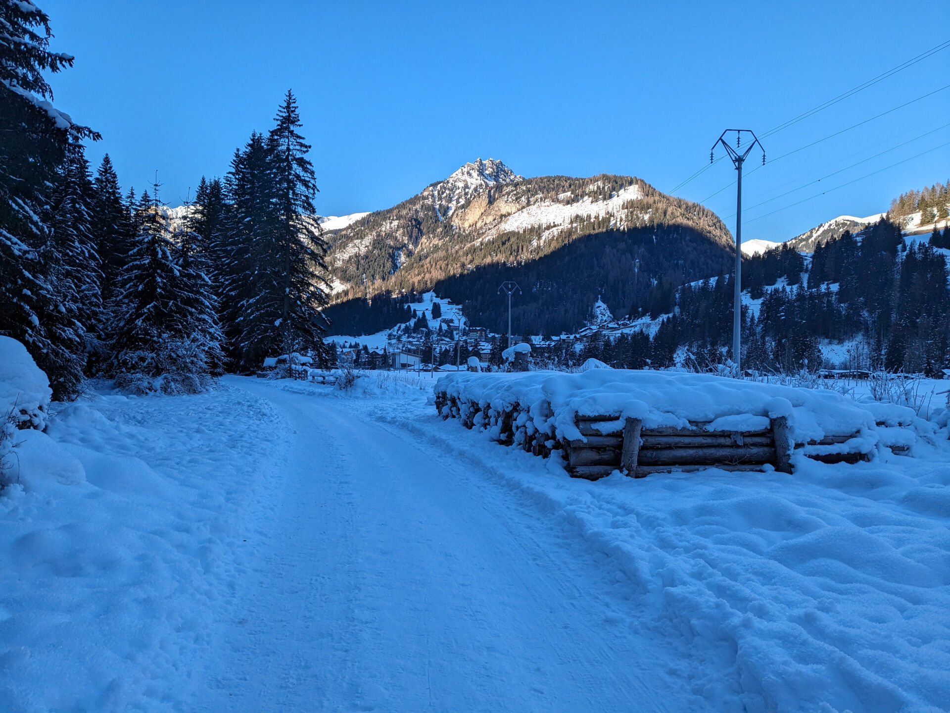
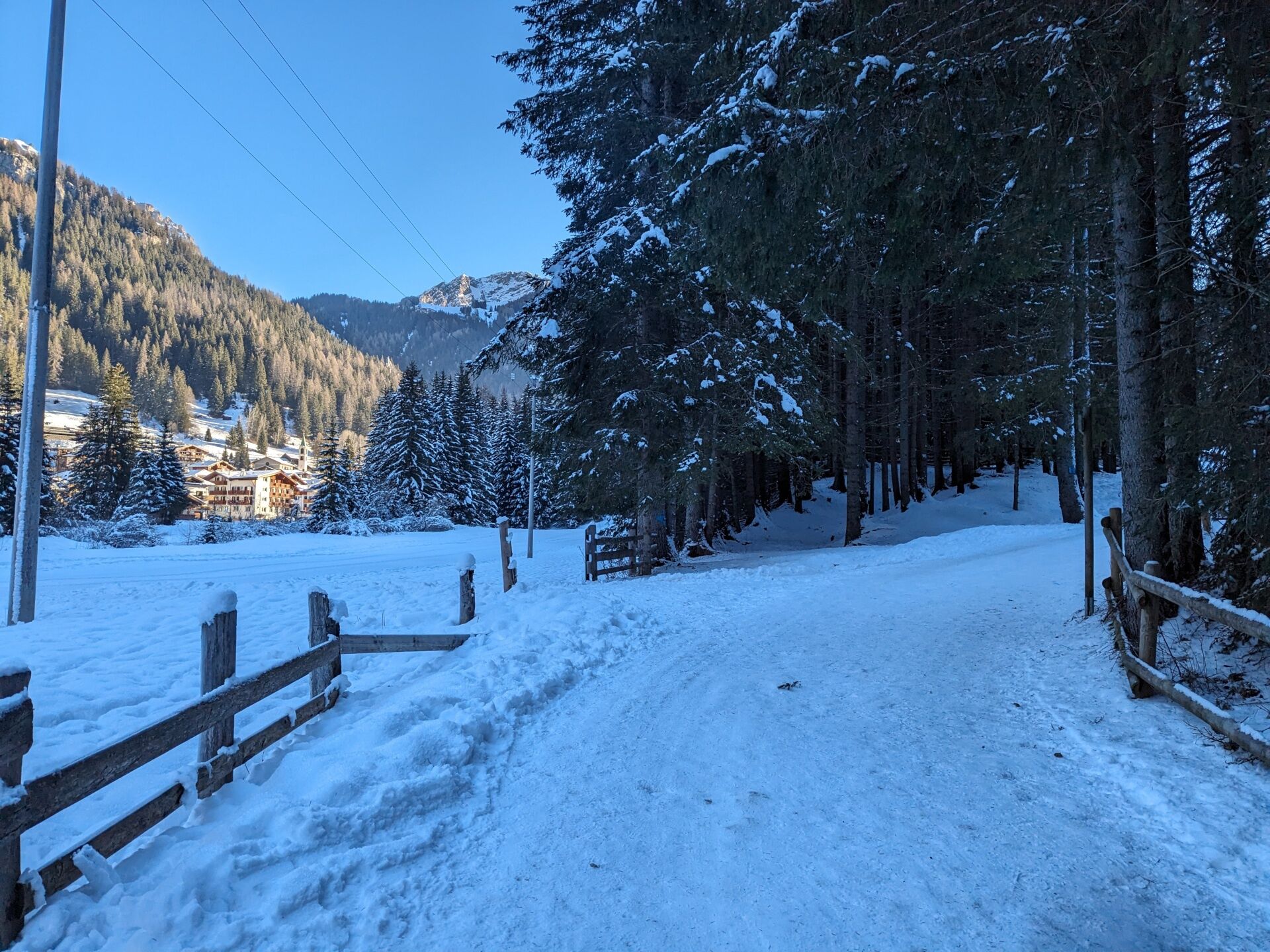
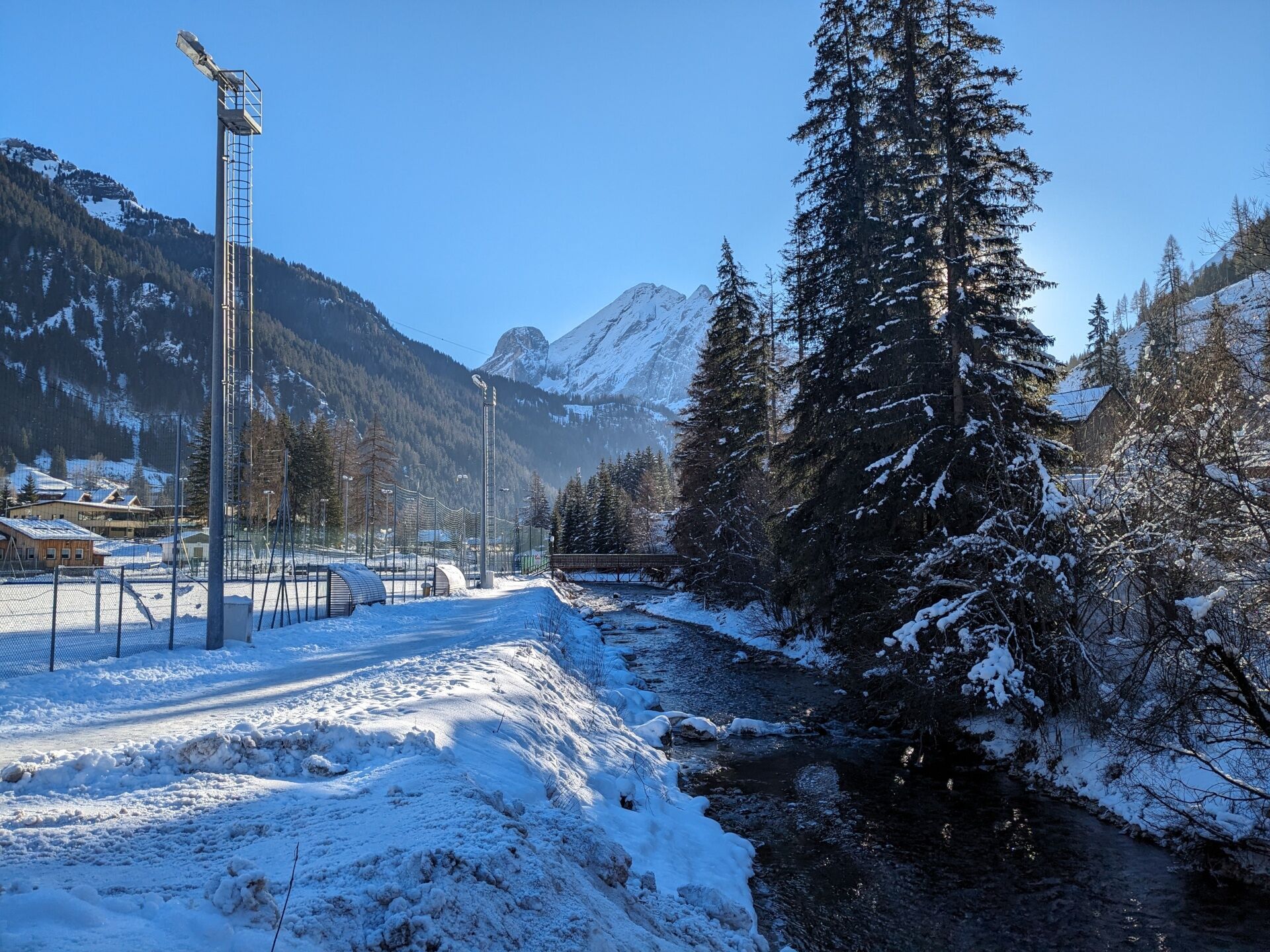
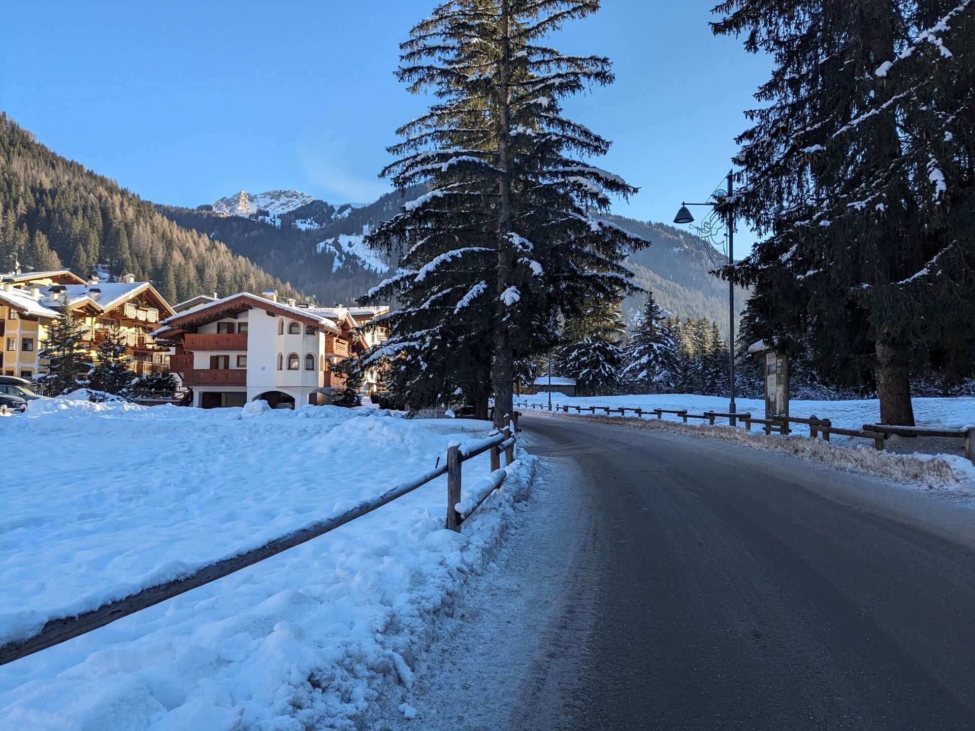
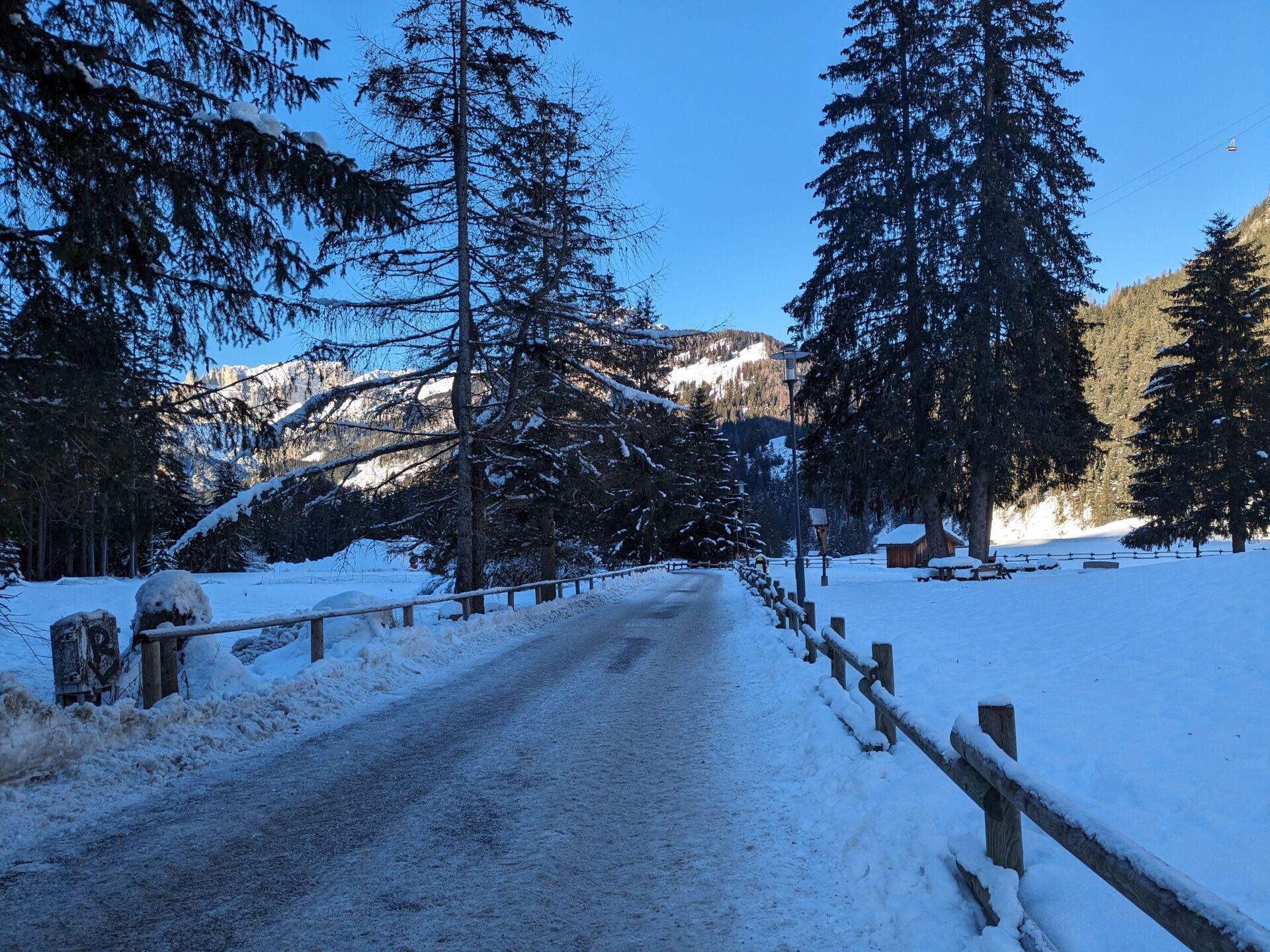
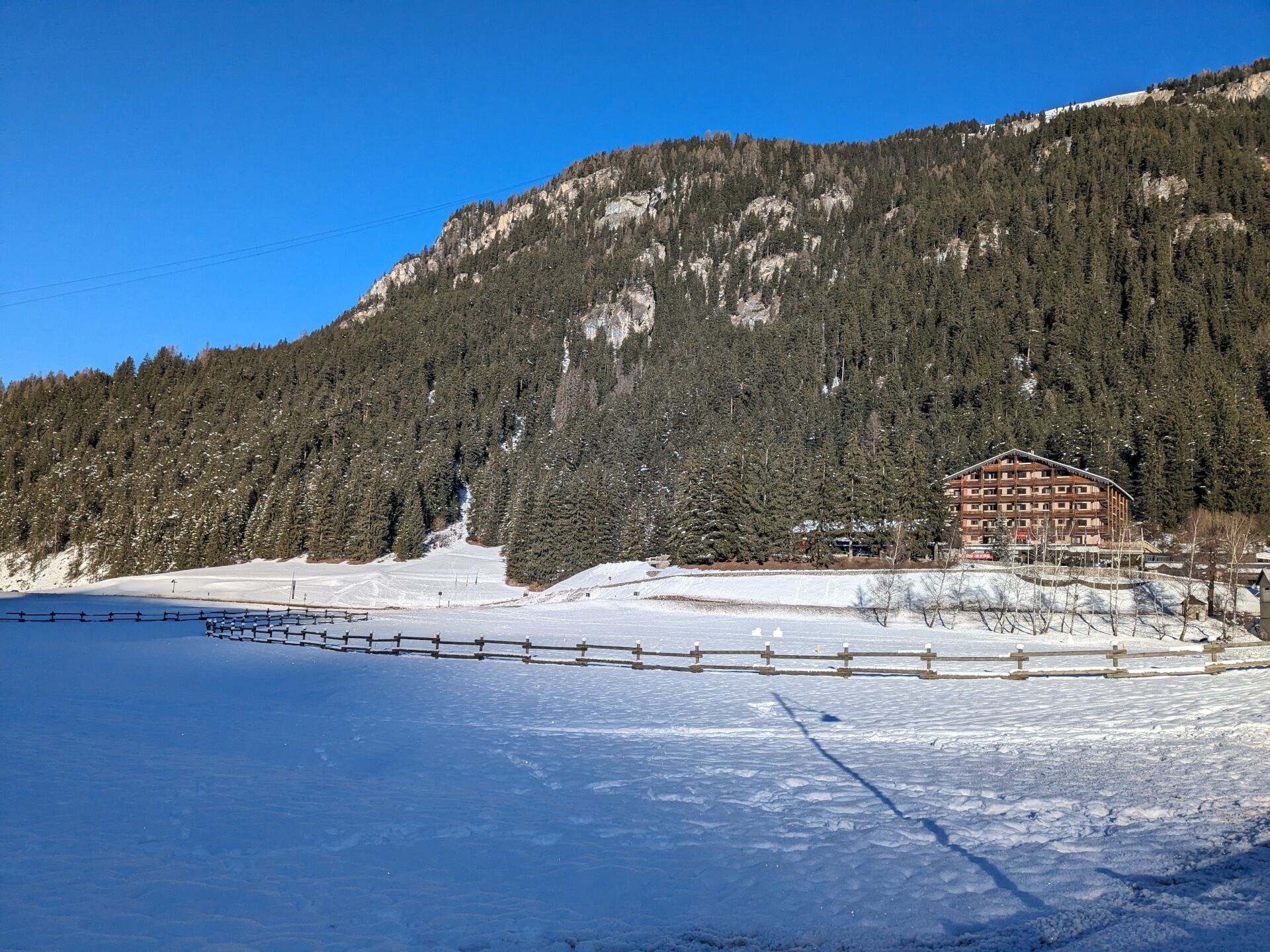
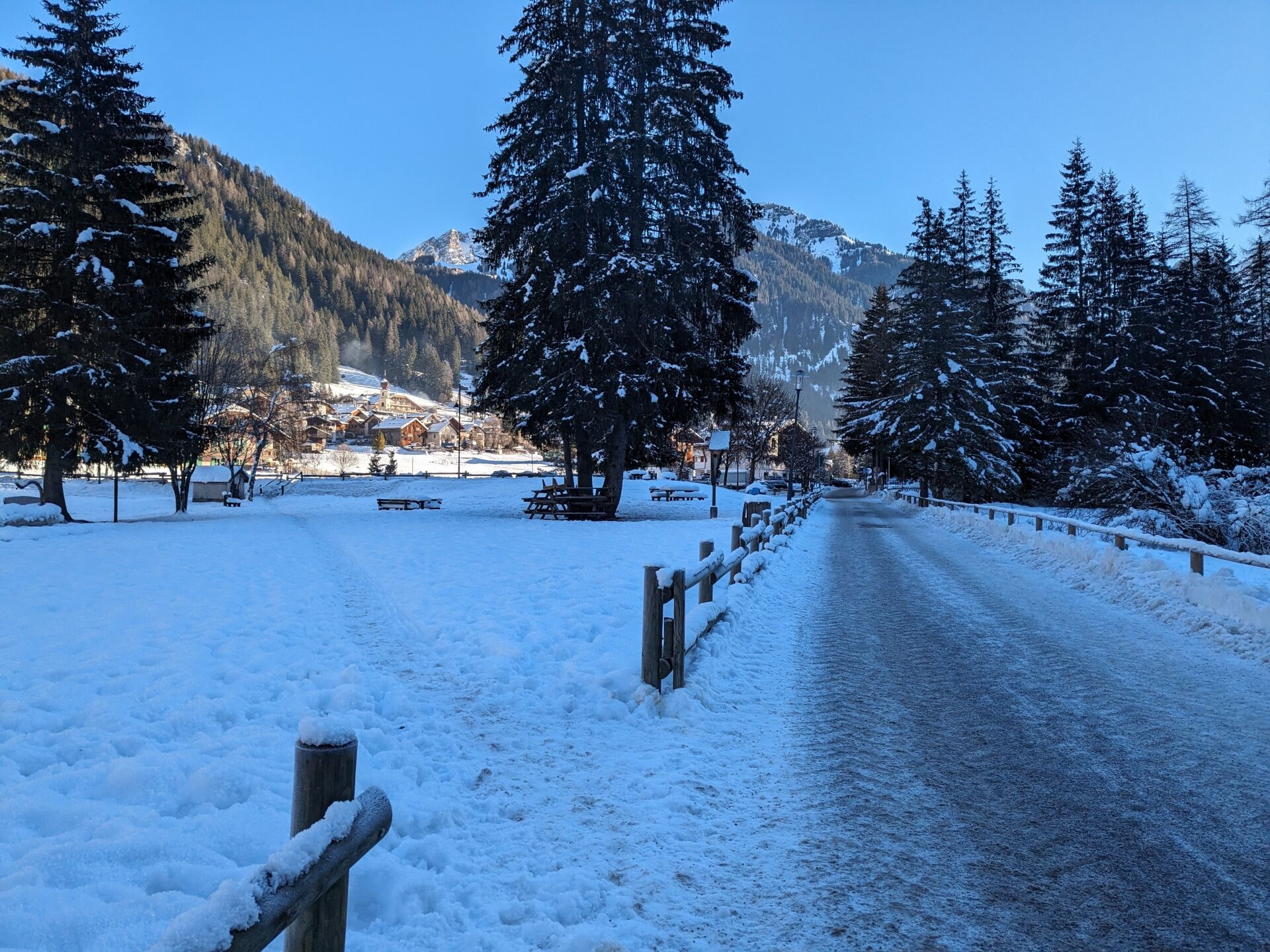
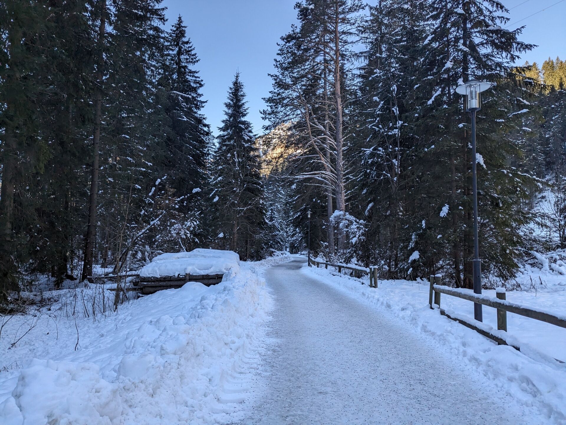
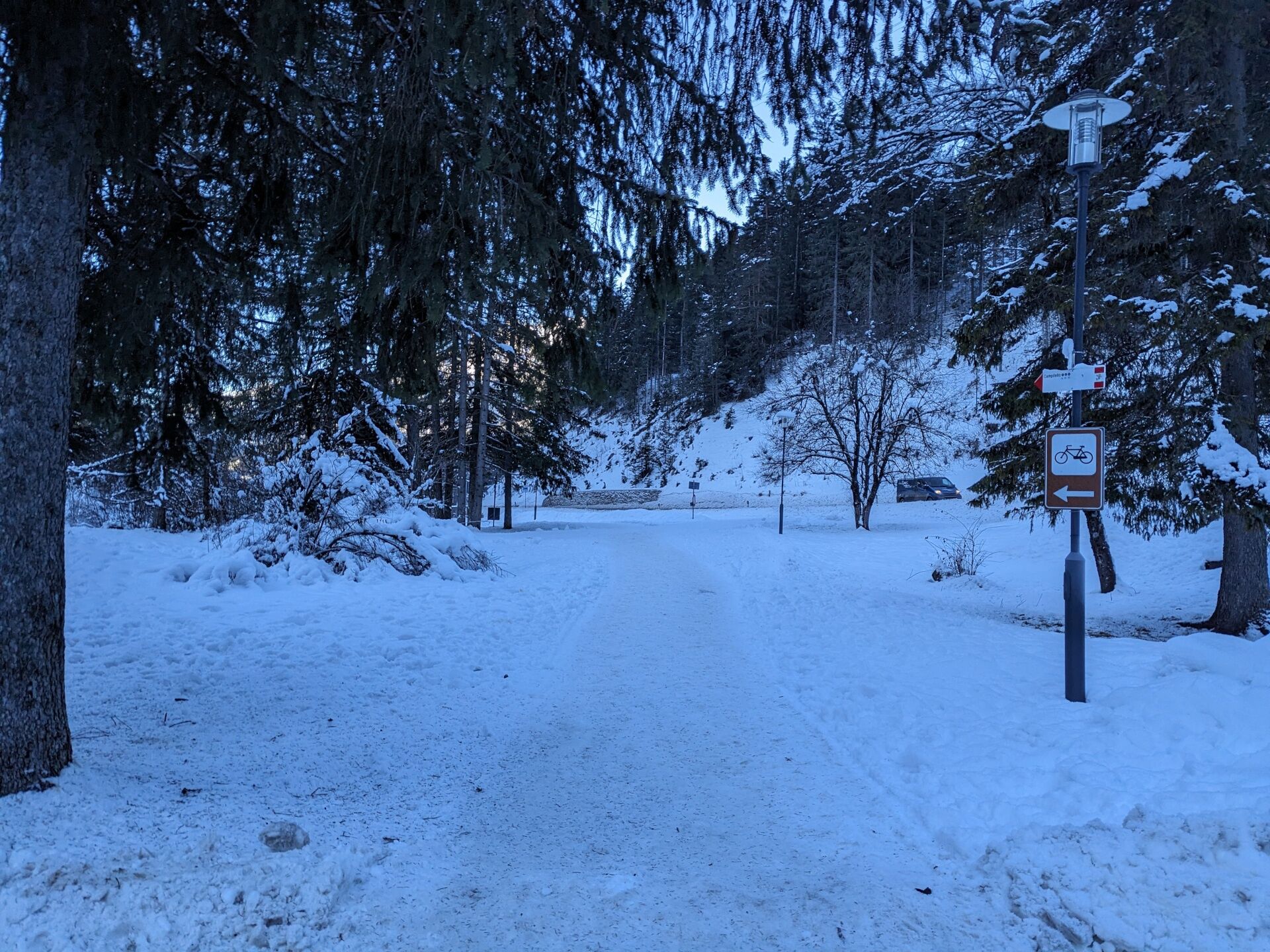
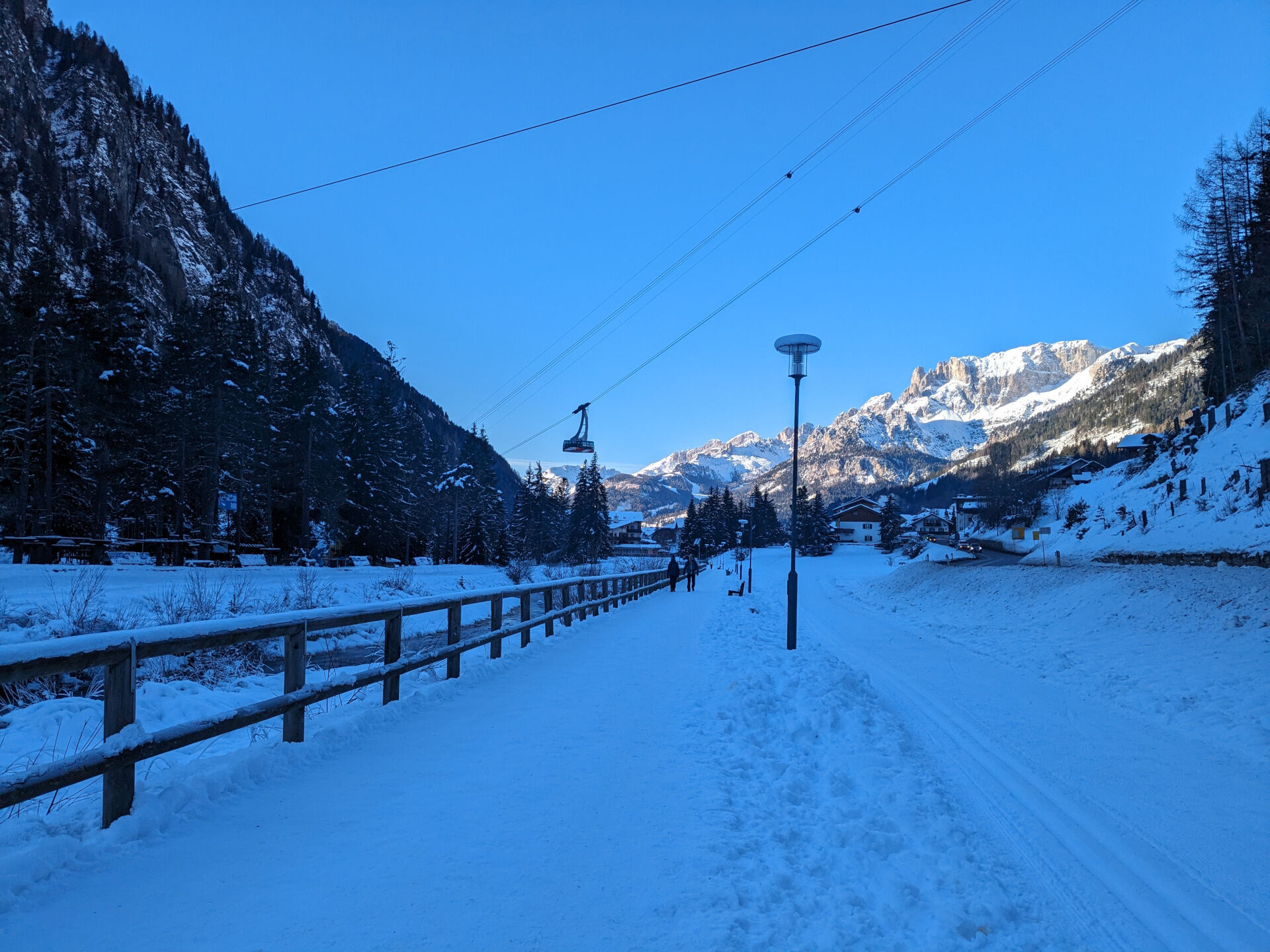
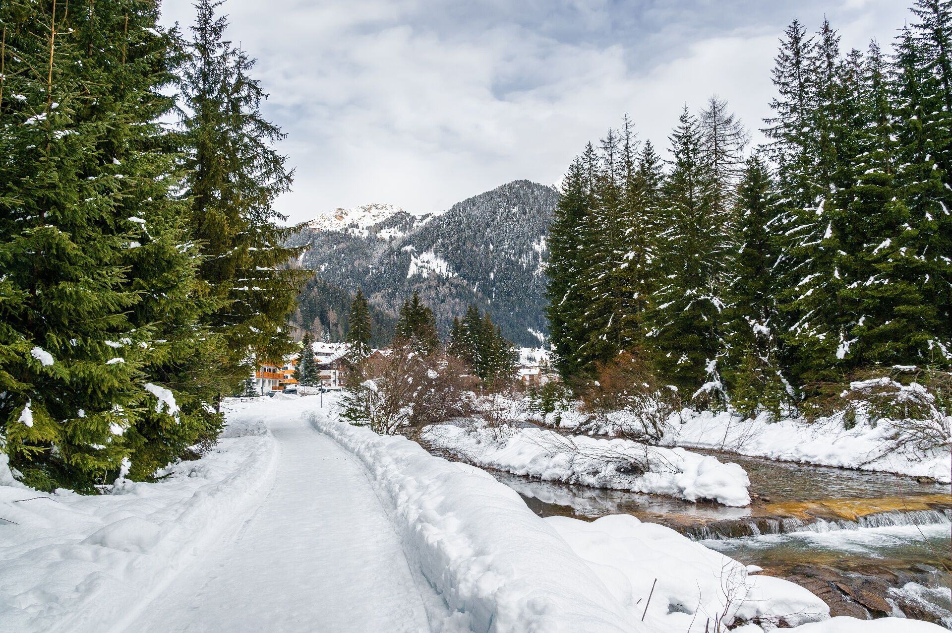

From the centre of Campitello, descend along Strèda de Pènt de Sera to reach the Ischia sports area. From the cable car car park, follow the path across the meadow towards the woods, then continue along the walkway at the woodland edge. Shortly afterwards, the Soreghes plain opens up on your left. At the fork, keep right and follow the well-marked Cercenà forest road, which is flat and shaded.
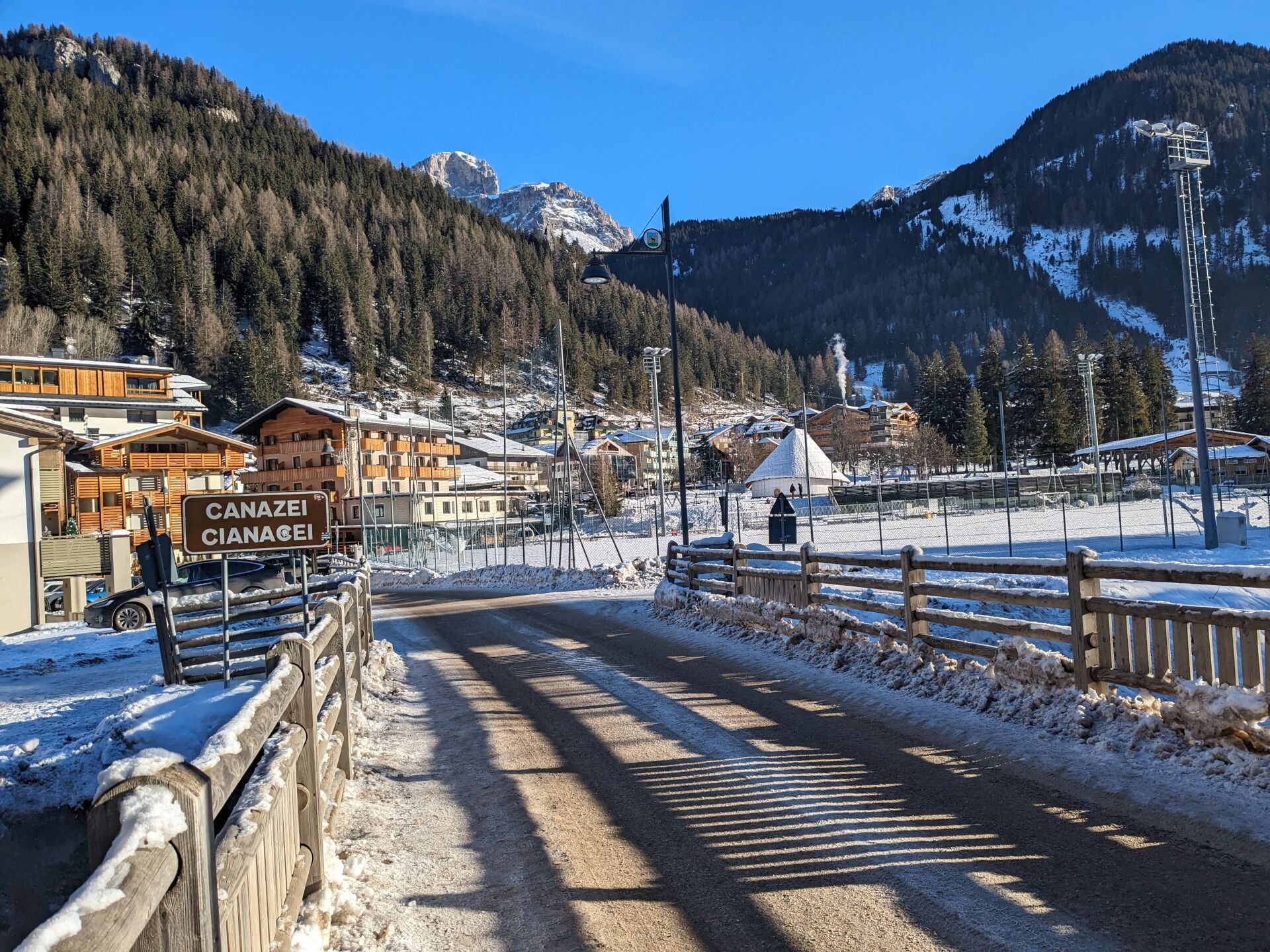
You reach Canazei on Strèda de Cercenà and, after passing the football pitch, turn left at the crossroads. Continue along Strèda del Ciuch, which runs alongside the Gries meadows in its final stretch. From here, the Soronch path leads you back to Campitello on the opposite side.
After leaving Canazei behind, the path enters the woods for about 400 metres, offering a pleasant stretch through the forest. Finally, follow the Avisio riverbank to the first houses of Campitello. Take Strèda Veia to return to the square where you started.
If you prefer to start from Canazei, follow the directions for walk no. 70.
Ano
Periodic maintenance and inspection of the trails will be provided, especially after snowfall. It is recommended to always pay close attention to the type of terrain, as icy and slippery sections cannot be ruled out. It is also recommended to always be properly equipped. Walking times are approximate only, and it is important to consider that walking on snow is much more strenuous than walking without it.
2. Inform someone about your planned itinerary, return time and possible changes.
3. Plan your outings with others and, when possible, rely on a mountain professional.
4. Bring avalanche rescue equipment (beacon, shovel and probe) with you, practise using it regularly and do a group test before setting off.
5. Make sure you have suitable clothing and equipment (poles, crampons, water, snacks, etc.).
6. Always keep your pet on a leash.
7. Constantly and carefully assess the conditions of the route and your mental, physical and technical abilities. If in doubt, turn back.
8. Do not cross ski slopes, either downhill or cross-country.
9. Respect the environment around you and take your rubbish back down to the valley.
10. Help those in need. In case of real need and for emergencies, call 112.
Other access routes to Val di Fassa
From the A27 motorway (Venice), Belluno/Ponte nelle Alpi exit: SS 203 to Agordo, then SP 346 over Passo San Pellegrino to Moena (Val di Fassa). From the Moena bypass, continue towards Canazei From the A27 motorway (Venice), Belluno/Ponte nelle Alpi exit: SS 203 to Agordo/Alleghe/Rocca Pietore, then SP 641 over Passo Fedaia to Canazei From Arabba: SS 48 over Passo Pordoi to Canazei From Val Gardena: SS 242 over Passo Sella to Canazeisüdtirolmobil bus lines - Val di Fassa
Line 180: Vigo di Fassa - Passo Carezza - Bolzano- Nearest bus stop (Trentino Trasporti): Campitello di Fassa > Piaz de Ciampedel
- Nearest ski bus stop: Campitello di Fassa > Piaz de Ciampedel
Parking in Ischia locality, near the valley station of the Col Rodella cable car.
2
Strèda Roma, 36
38032 Canazei (TN)
Phone +39 0462 609500
info@fassa.com
www.fassa.com
Suitable for baby carriers (strollers are not recommended due to icy sections).
Webové kamery z prohlídky
-
Bergstation Col de Valvacin
-
Bergstation Col de Valvacin
-
Bergstation Col de Valvacin
-
Bergstation Col de Valvacin
-
Bergstation Col de Valvacin
-
Bergstation Col de Valvacin
-
Col dei Rossi
-
Rifugio Maria Sass Pordoi
-
Val Gardena - Citta dei Sassi
-
Canazei - Col dei Rossi
-
Canazei - Col dei Rossi
-
Canazei - Col dei Rossi
-
Ciampac
-
Canazei - Col Rodella
-
Canazei - Col dei Rossi
-
Canazei - Col dei Rossi
-
Canazei - Col dei Rossi
-
Canazei - Col dei Rossi
-
Canazei - Col dei Rossi
-
Canazei - Ciampac
-
Canazei - Ciampac
-
Canazei - Ciampac
-
Canazei - Ciampac
-
Canazei - Col dei Rossi
-
Canazei - Col dei Rossi
-
Canazei - Col dei Rossi
-
Canazei - Col dei Rossi
-
Canazei - Col dei Rossi
-
Val Gardena Sasso Levante
-
Sass Pordoi
-
Sass Pordoi
-
Sass Pordoi
-
Sass Pordoi
-
Sass Pordoi
-
Sass Pordoi
-
Sass Pordoi
Získejte přehled
Vždy živě na místě s více než 9 500 webkamerami. bergfex Jako uživatel Pro si nyní můžete zobrazit odpovídající webové kamery pro mnoho prohlídek v aplikaci prohlídky z. Můžete si tak přímo prohlédnout aktuální podmínky.
Oblíbené prohlídky v okolí
-
4.6
Pordoi Pass - Sass Pordoi - Forcella Pordoi - Piz Boè - Boè Refuge - Forcella Pordoi - Pordoi Pass
heavyTuristika 8.39 km -
4.9
Lang- und Plattkofel Umrundung
středníTuristika 17.5 km -
4.8
Santnerpass Klettersteig
středníVia ferrata 8.29 km -
4.8
Langkofel-Umrundung
středníTuristika 12.9 km -
4.6
Puflatsch Umrundung
světloTuristika 8.37 km -
5.0
Langkofel Klettersteig/Ferrata Furcela de Saslonch
heavyVia ferrata 7.07 km -
5.0
Um den Langkofel
středníTuristika 9.76 km -
4.9
Schlern Bersteigung
středníTuristika 19.1 km -
3.8
Der Friedrich-August-Weg
středníTuristika 10.4 km -
4.4
Dolomiten Sellagruppe, Alb. Col di Lana, Sas de Pordoi, Piz Boé retour 22.06.2016
středníTuristika 5 km

Pěší turistika a stopování


Nenechte si ujít nabídky a inspiraci pro vaši příští dovolenou
Vaše e-mailová adresa byl přidán do poštovního seznamu.





