






Soraga di Fassa - Palua
Úroveň obtížnosti: 2
Starting from the parish church, go along Strada Dolomites up to the top of the slope, turn left onto the little white road running across a beautiful mountainside covered with meadows dotted with trees...
Starting from the parish church, go along Strada Dolomites up to the top of the slope, turn left onto the little white road running across a beautiful mountainside covered with meadows dotted with trees here and there. Go into the wood and, after the viewpoint, you find a barrier. Cross it and go downhill to the left along the edge of the meadows. The gradient decreases quickly. You will then come out to find an easy little path, which after a few minutes walk leads to the houses of the "Palua" hamlet. Walk along the street bearing the same name and go back to the centre of Soraga.

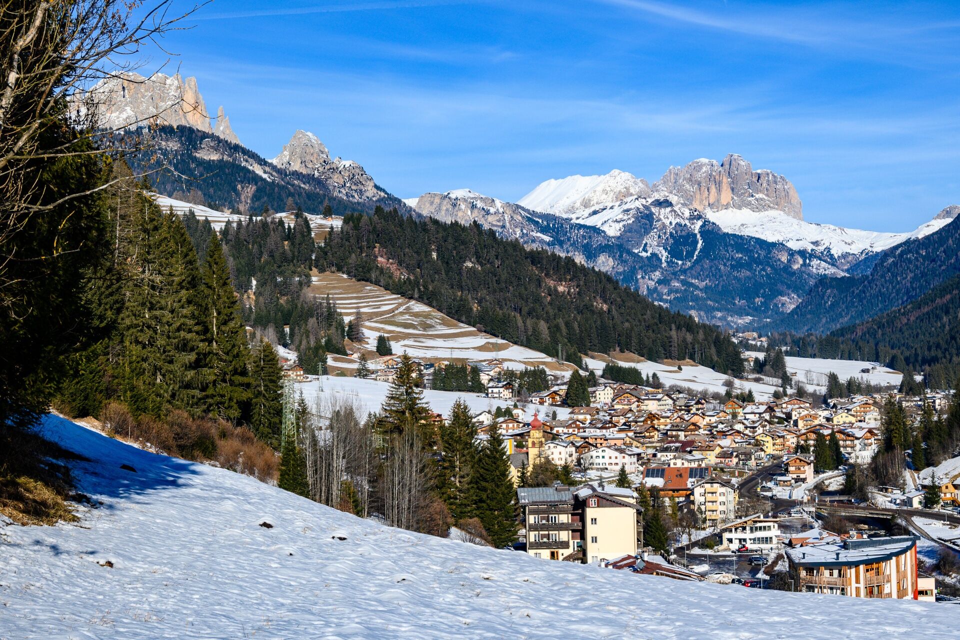
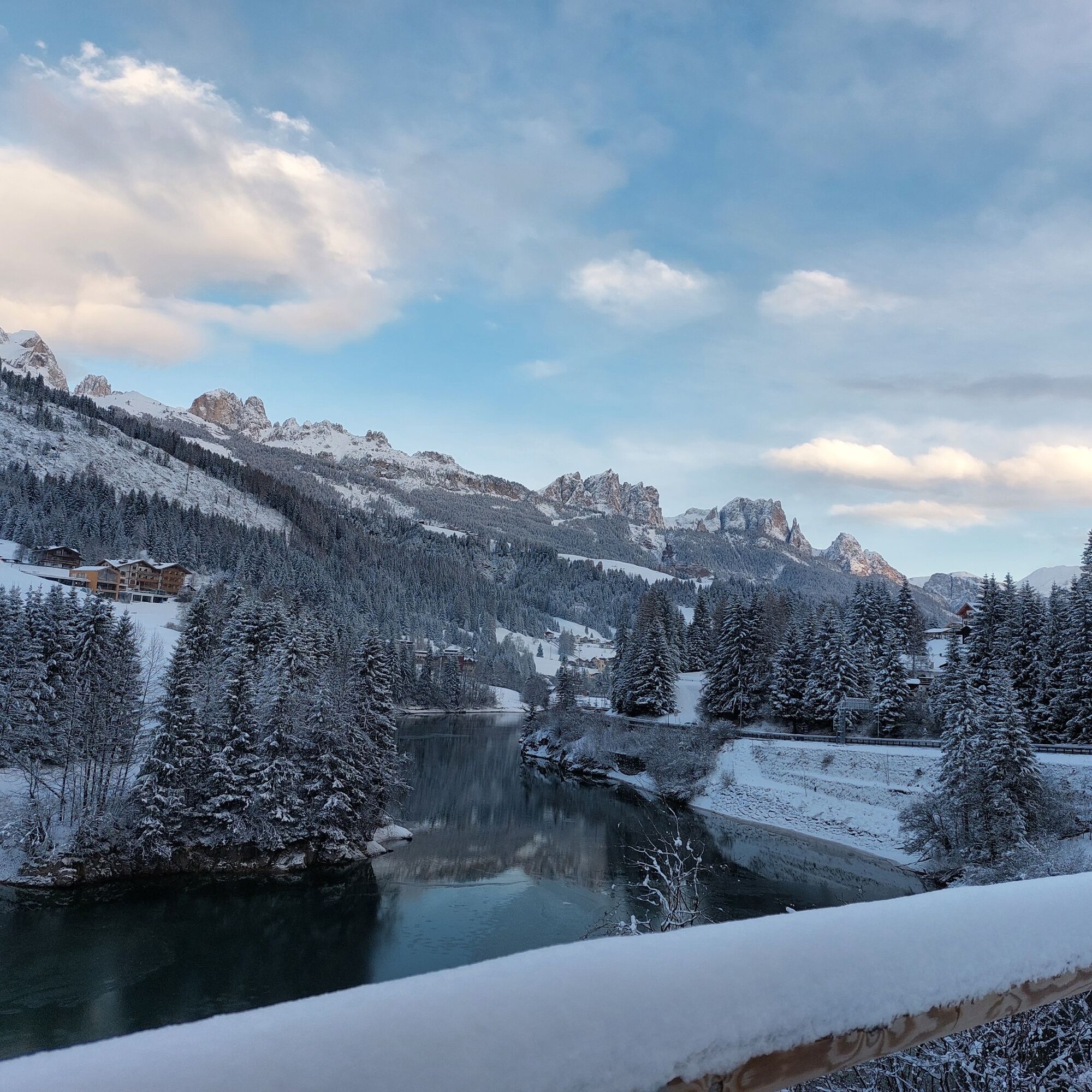
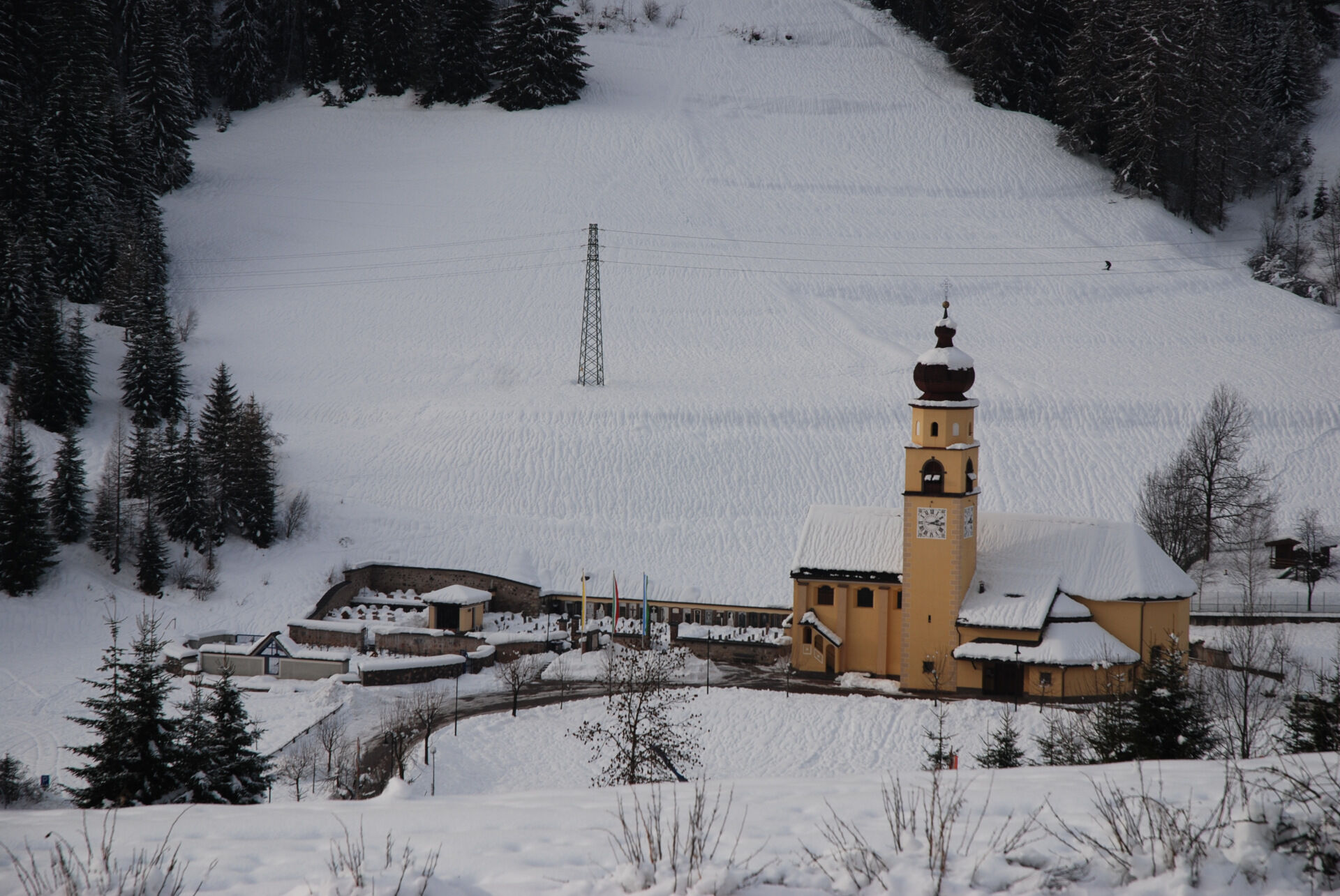
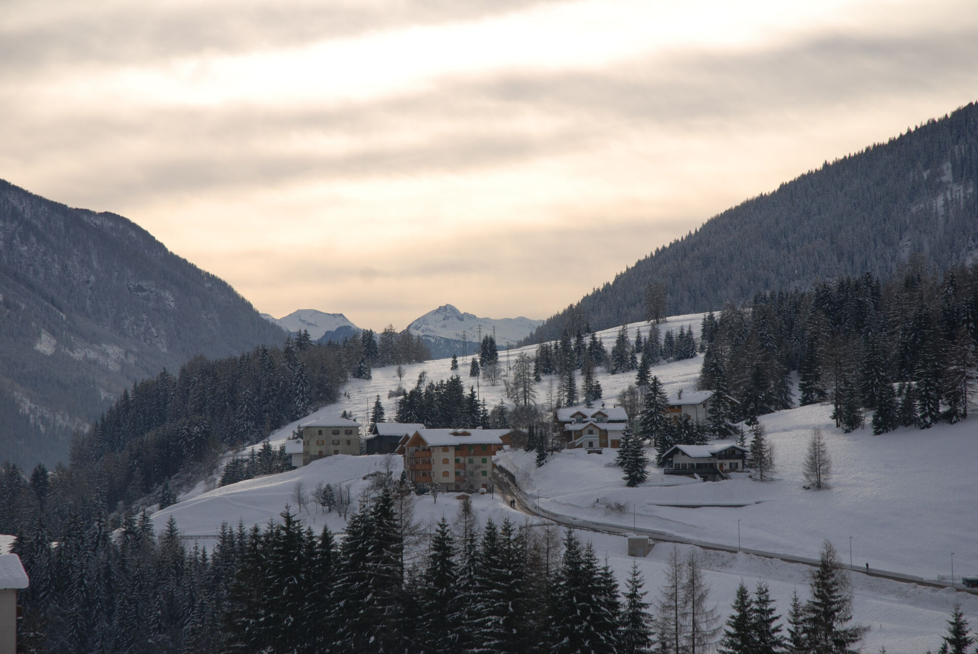
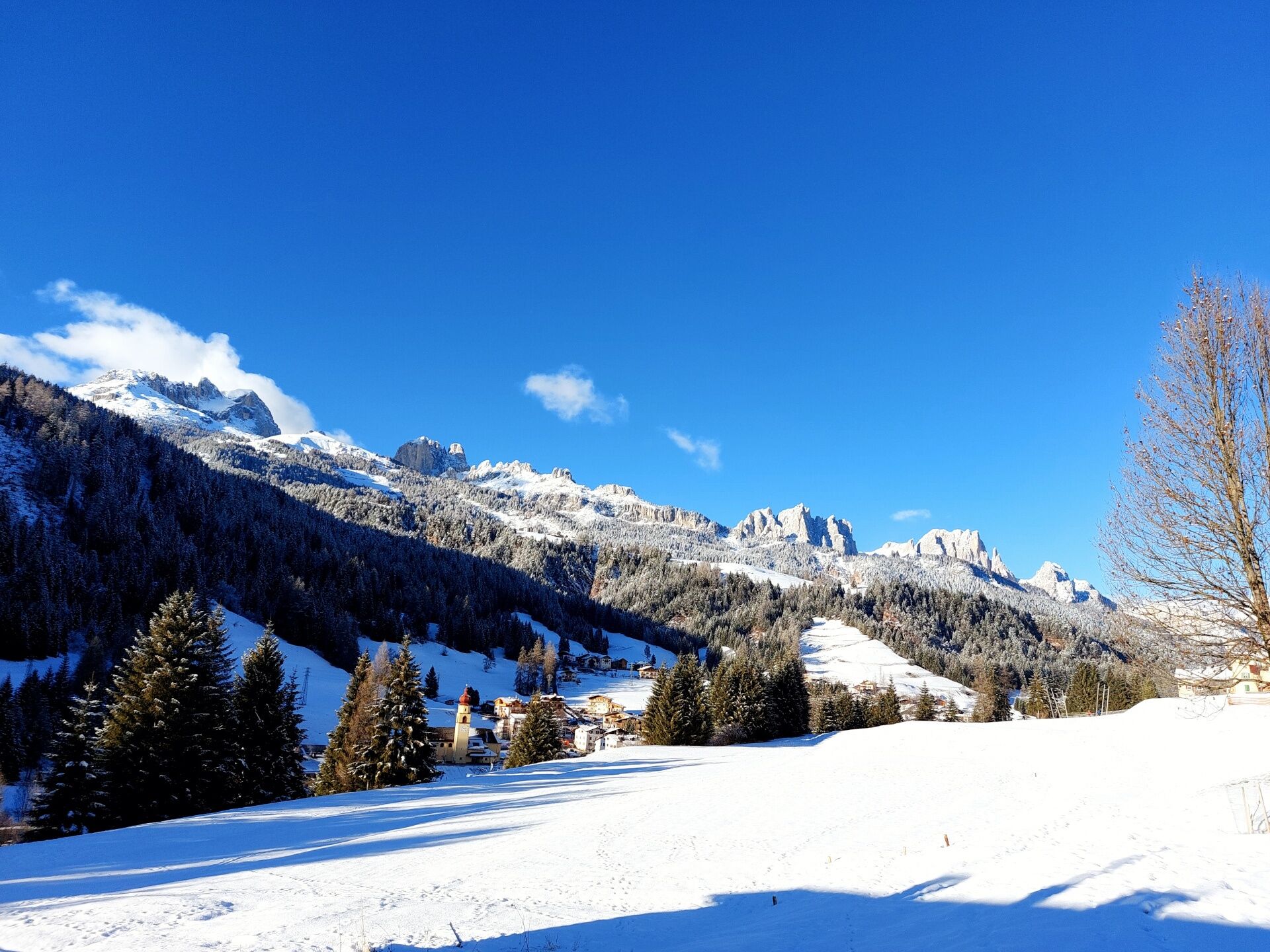
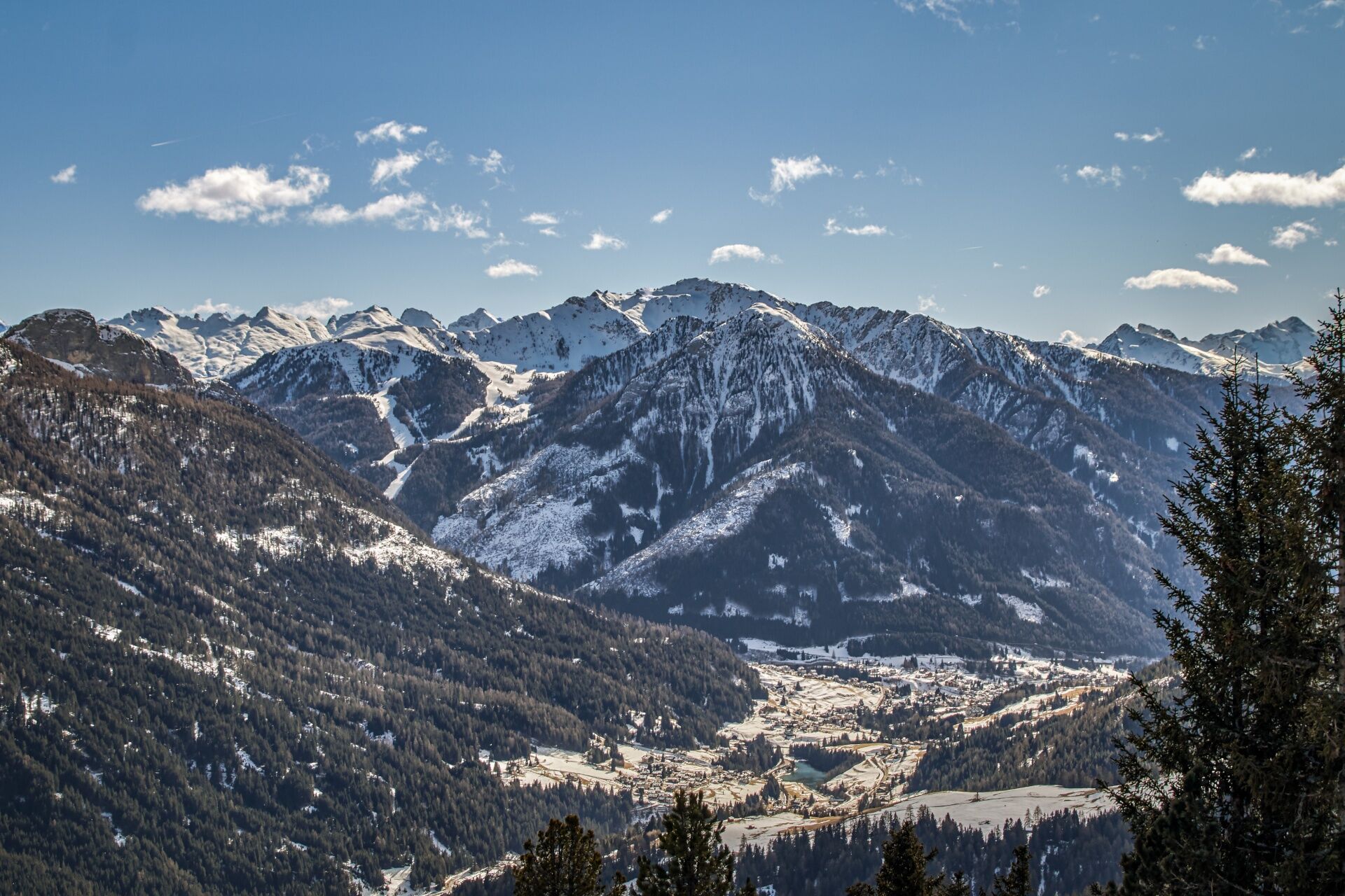
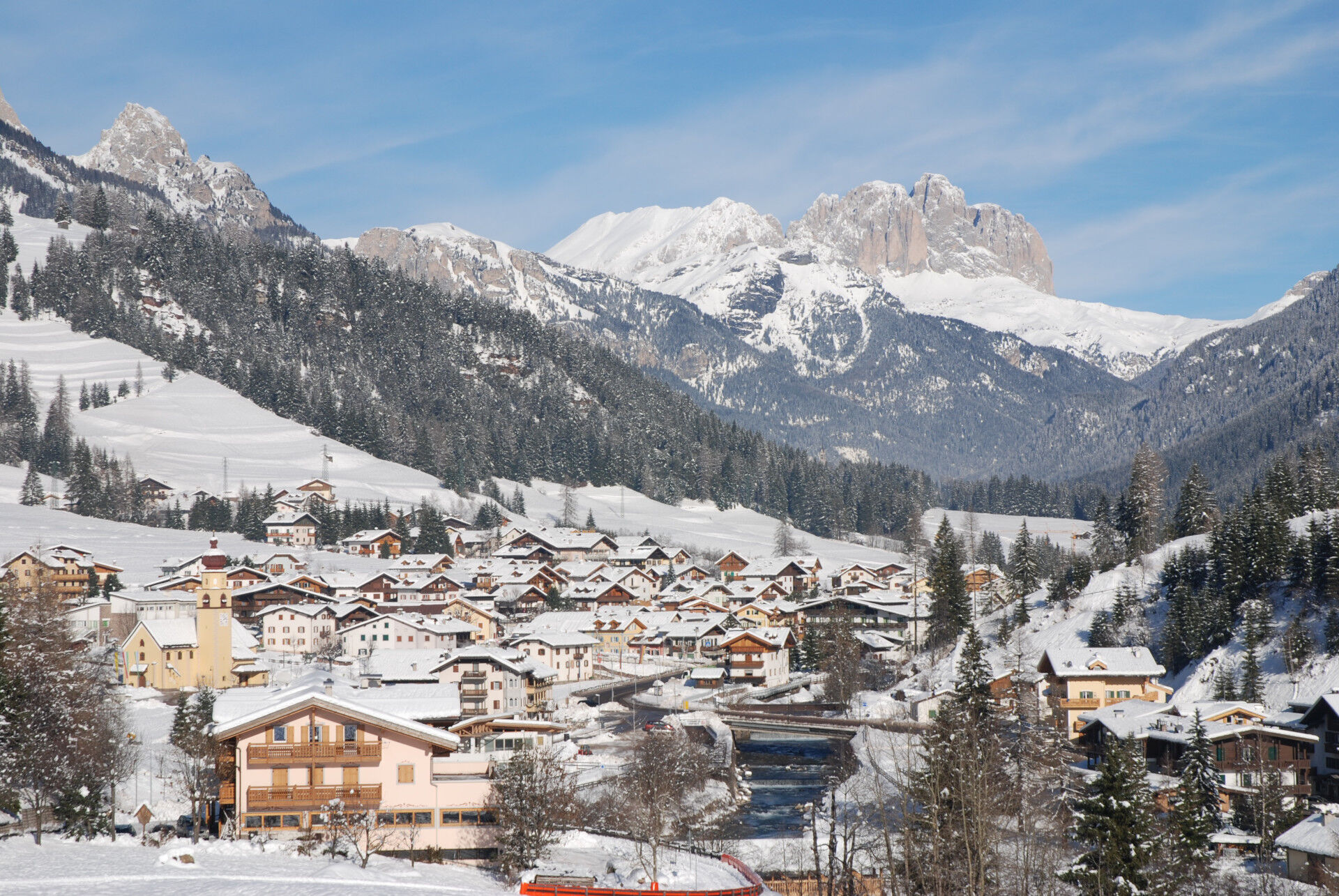
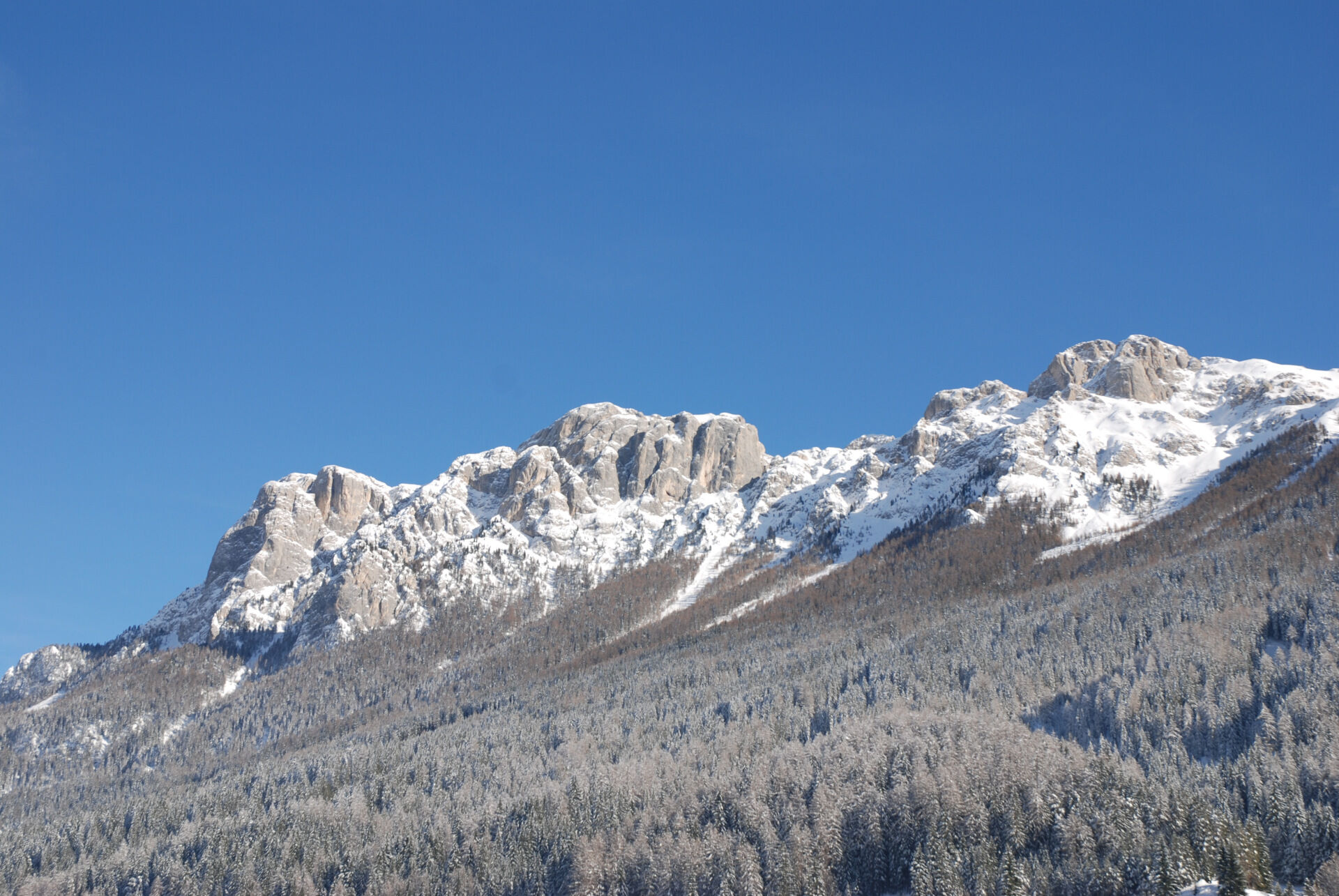
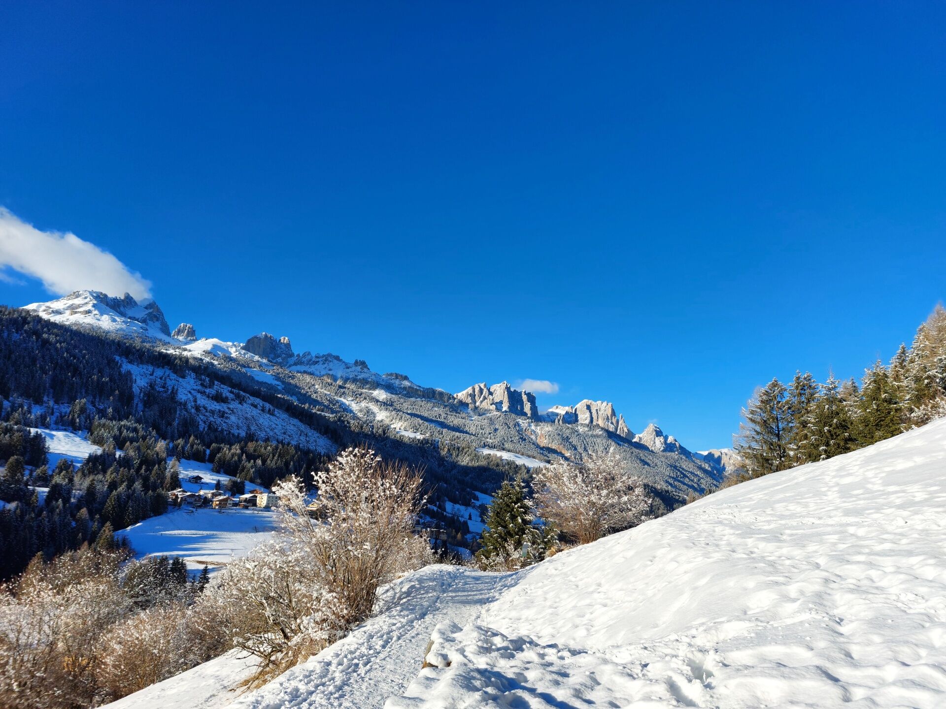
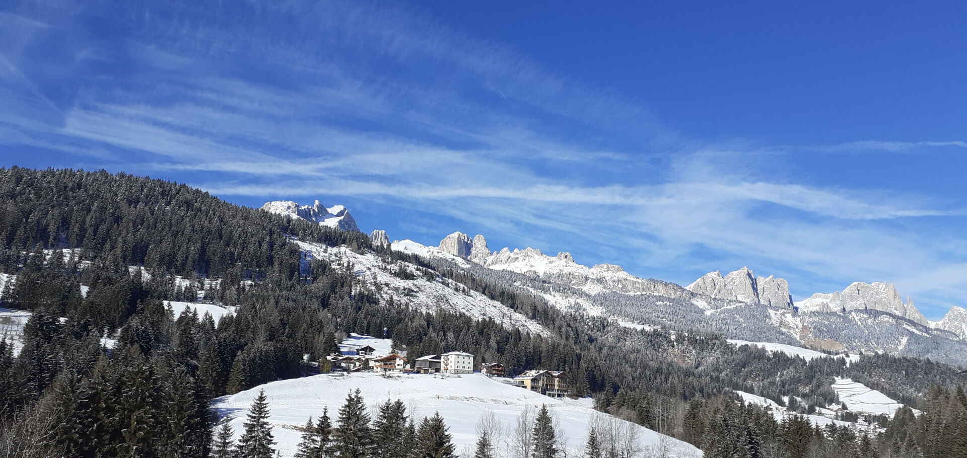

Go along Strada Dolomites up to the top of the slope (locality "Sester", one of the seven "masi" of Soraga), turn left onto the little road running across a beautiful mountainside covered with meadows dotted with trees here and there.
Come out of the woods, in few minutes you will reach the houses of the "Palua" hamlet. Walk along the street bearing the same name and go back to the centre of Soraga.
Ano
Ensure you are properly equipped with hiking boots, crampons, and poles, and carry essential items in your backpack for potential emergencies, including a basic first aid kit.
2. Always prefer being accompanied by somebody. If possible, rely on a professional mountain guide.
3. Make sure you have suitable clothes and equipment (boots, crampons, and poles).
4. Inform somebody of your itinerary, return time, and possible changes.
5. Take it easy, enjoy the landscape and the silence.
6. If uncertain about the direction, turn back.
7. Stay out of cross-country and alpine skiing slopes.
8. Respect the environment around you. Bring back your rubbish.
9. Bring your pet along, but keep it on a leash.
10. Help those in need. Call the European emergency number 112 only in case of real necessity.
Other access points to Val di Fassa:
from A27 motorway (Venezia), exit Belluno/Ponte nelle Alpi, S.S. 203 to Agordo and S.P. 346 to San Pellegrino Pass - Moena (Val di Fassa). At the roundabout in Moena, proceed towards Canazei from A27 motorway (Venezia), exit Belluno/Ponte nelle Alpi, S.S. 203 to Agordo/Alleghe/Rocca Pietore. S.P. 641 to Fedaia Pass - Canazei coming from Arabba, S.S. 48 to Pordoi Pass - Canazei from Val Gardena, S.S. 242 to Sella Pass - CanazeiPublic transport lines SAD - Val di Fassa:
line no. 180 Vigo di Fassa - Carezza Pass - Bolzano- Nearest bus stop (Trentino Trasporti): Soraga di Fassa > Hotel Al Lago
- Nearest ski bus stop: Soraga di Fassa > Hotel Al Lago
Free parking at "Vischia de Sac" park or near the parish church.
2
Tourist Board Val di Fassa
Strèda Roma, 36
38032 Canazei (TN)
Phone +39 0462 609500
info@fassa.com
www.fassa.com
Pay close attention to the terrain at all times, as icy and slippery sections can occur, especially in shaded areas.
Webové kamery z prohlídky
Ciampedie - Rosengarten
Ciampedie - Rosengarten
Ciampedie - Rosengarten
Ciampedie - Rosengarten
Le Cune
Le Cune
Le Cune
Le Cune
Le Cune
Le Cune
Le Cune
Catinaccio - Rosengarten Pra Martin
Ciampedie - Rosengarten
Ciampedie - Rosengarten
Ciampedie - Rosengarten
Ciampedie - Rosengarten
Catinaccio - Rosengarten Pra Martin
Catinaccio - Rosengarten Pra Martin
Le Cune
Castelir
Castelir
Castelir
Castelir
Castelir
Castelir
Talstation Pra di Tori
Pra di Tori Bergstation
Pra di Tori Bergstation
Získejte přehled Vždy živě na místě s více než 9 500 webkamerami. bergfex Jako uživatel Pro si nyní můžete zobrazit odpovídající webové kamery pro mnoho prohlídek v aplikaci prohlídky z. Můžete si tak přímo prohlédnout aktuální podmínky. Oblíbené prohlídky v okolí
- 4,9
Lang- und Plattkofel Umrundung
středníTuristika 17,5 km - 4,8
Santnerpass Klettersteig
středníVia ferrata 8,29 km - 4,0
Der Friedrich-August-Weg
středníTuristika 10,4 km - 5,0
Langkofel Klettersteig/Ferrata Furcela de Saslonch
heavyVia ferrata 7,07 km - 4,8
Schlern Bersteigung
středníTuristika 19,1 km - 4,9
Torre di Pisa mountain hut
středníTuristika 9,09 km - 5,0
Ciampedie - Gardeccia - Refuges Vajolet and Preuss - Refuge Re Alberto I - Gardeccia - Ciampedie
heavyTuristika 11,8 km - 4,2
Rundwanderung Compatsch-Schlernhaus-Tierser Alpl
středníTuristika 21,2 km - 4,7
Passo Costalunga - Sella del Ciampaz
středníTuristika 8,35 km - 5,0
Ciampedie - Gardeccia - Principe Pass - Antermoia Refuge - Val Duron - Campitello
heavyTuristika 18,7 km
Pěší turistika a stopování


Nenechte si ujít nabídky a inspiraci pro vaši příští dovolenou
Vaše e-mailová adresa byl přidán do poštovního seznamu.





