


From Lavazè Pass to Oclini Pass
Úroveň obtížnosti: 1

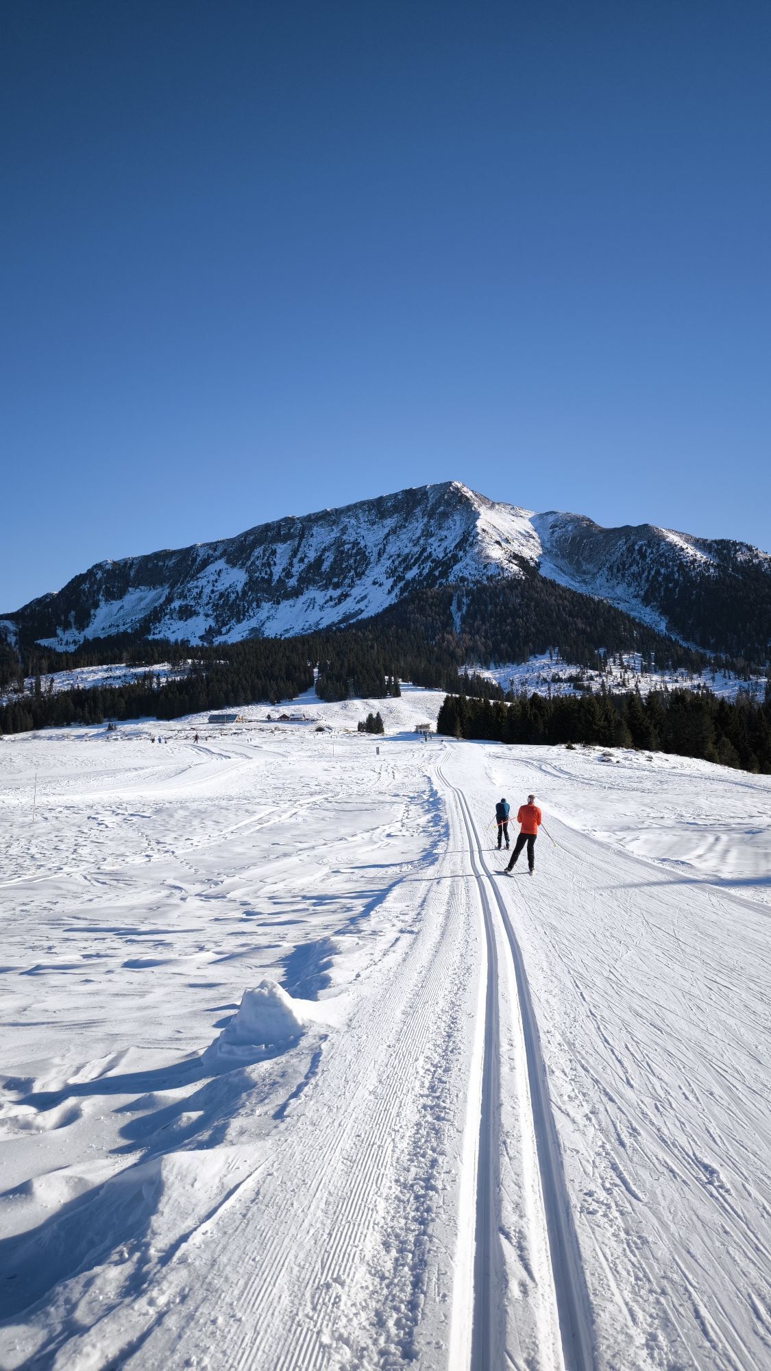
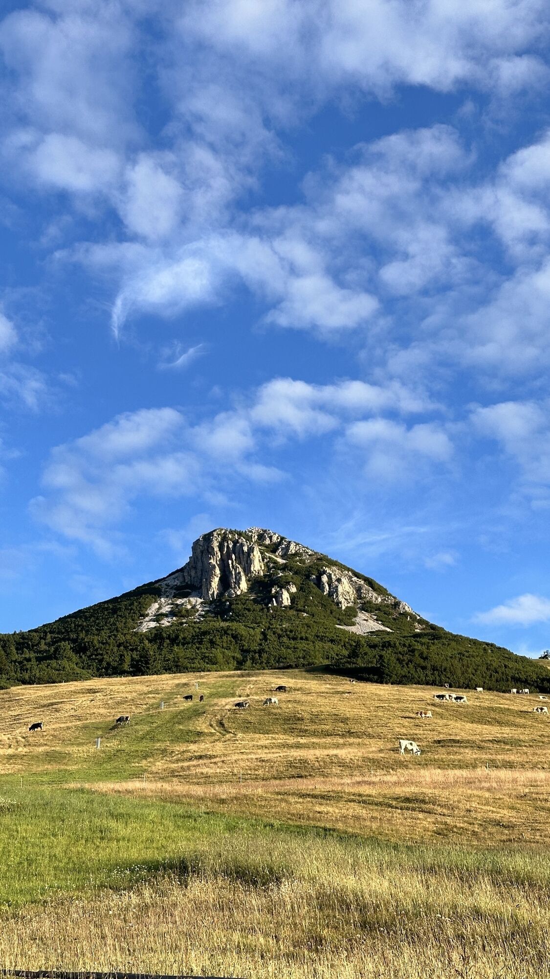
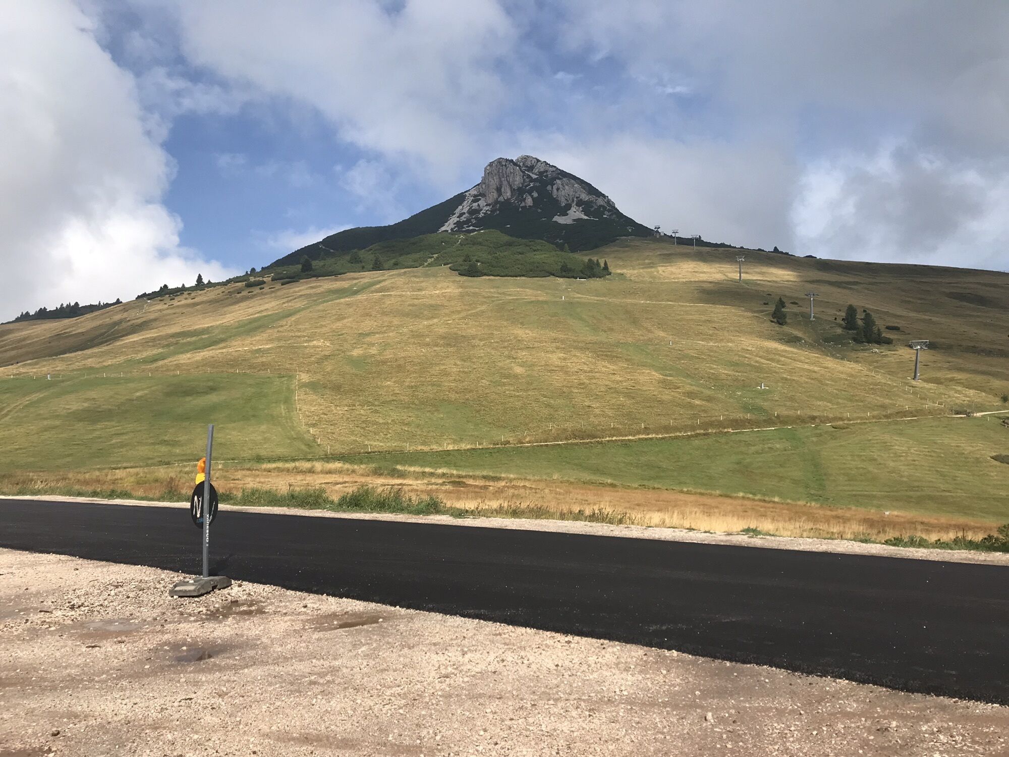
The Lavazè Plateau, a paradise for cross-country skiers, offers also itineraries for non-skiers. The most famous is the path that leads to Oclini Pass. The panorama ranges from the Dolomite peaks of the...
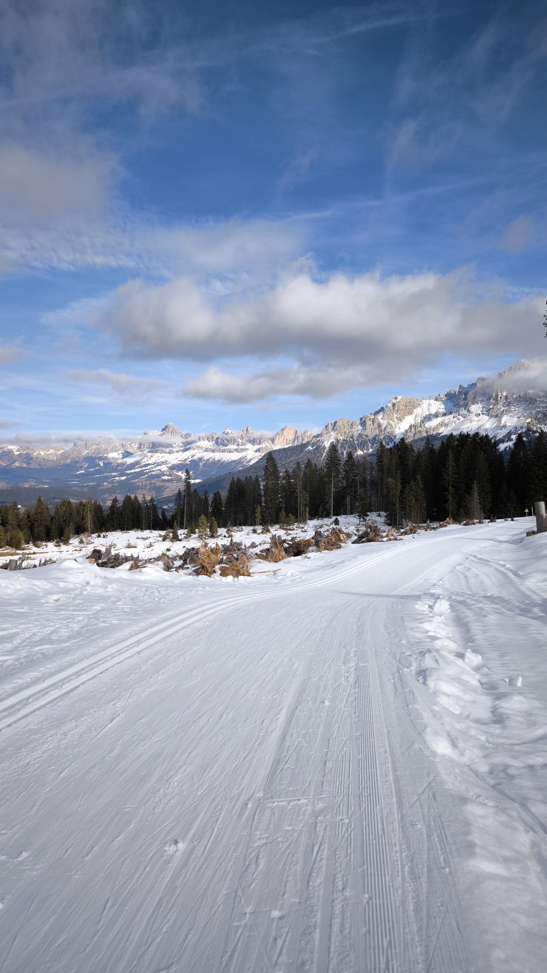
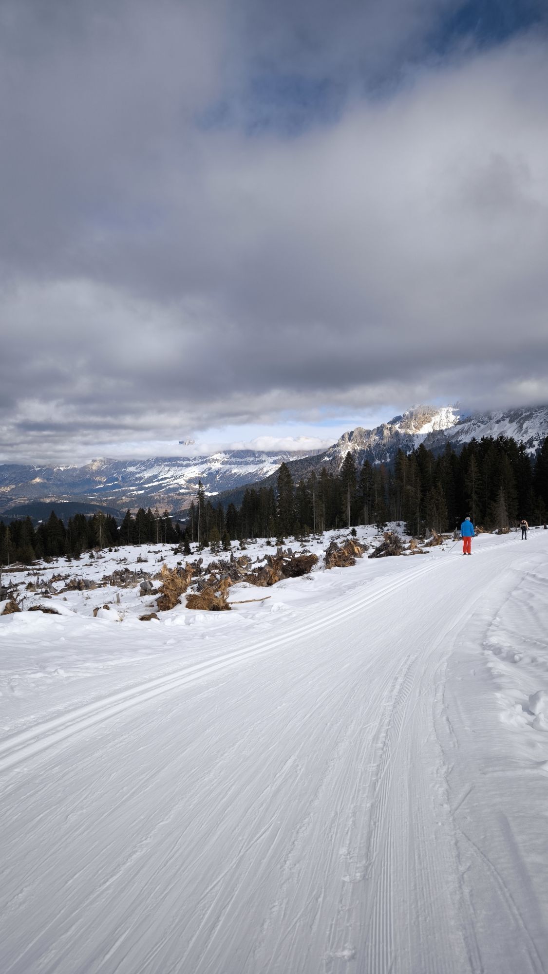
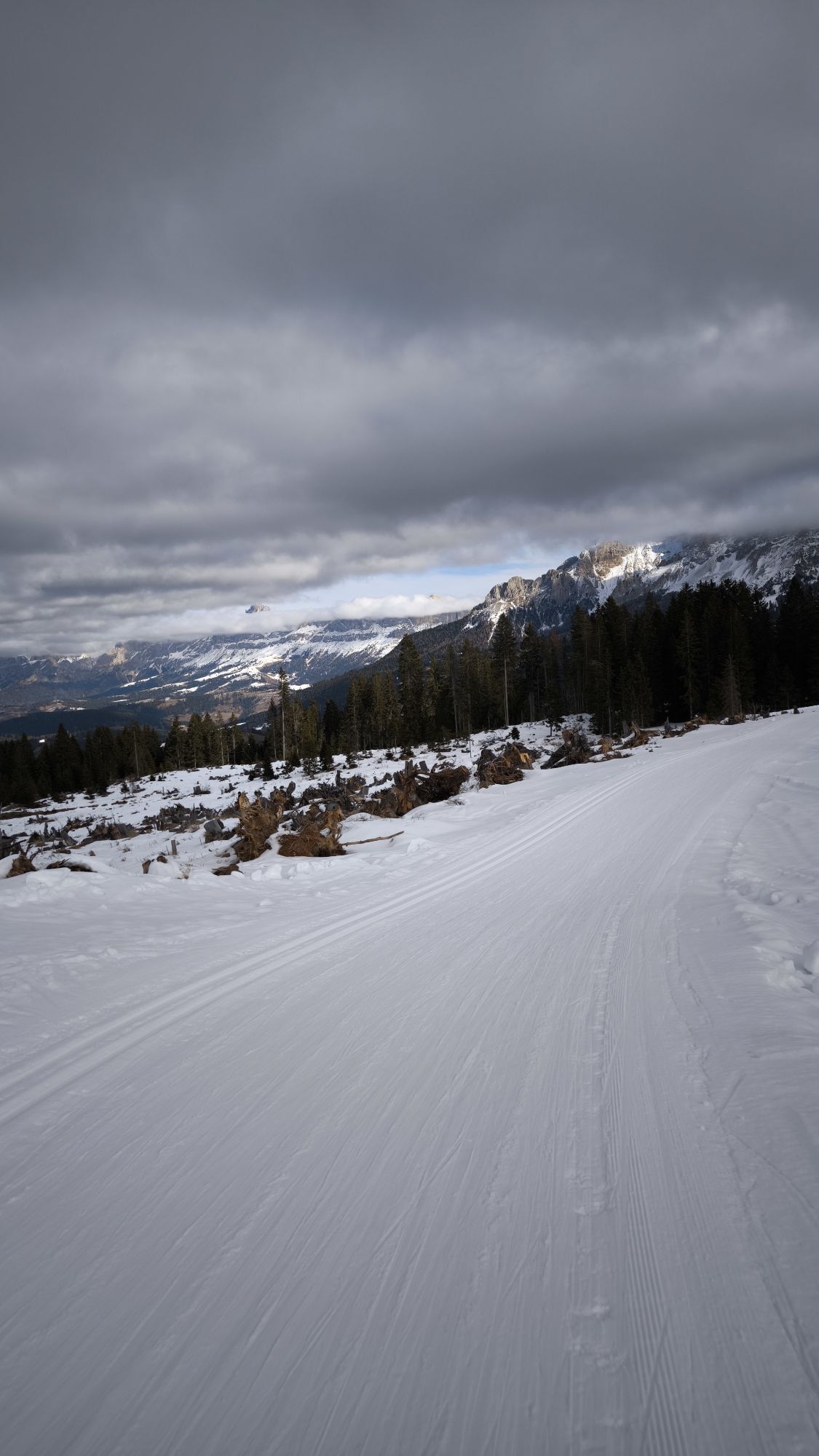
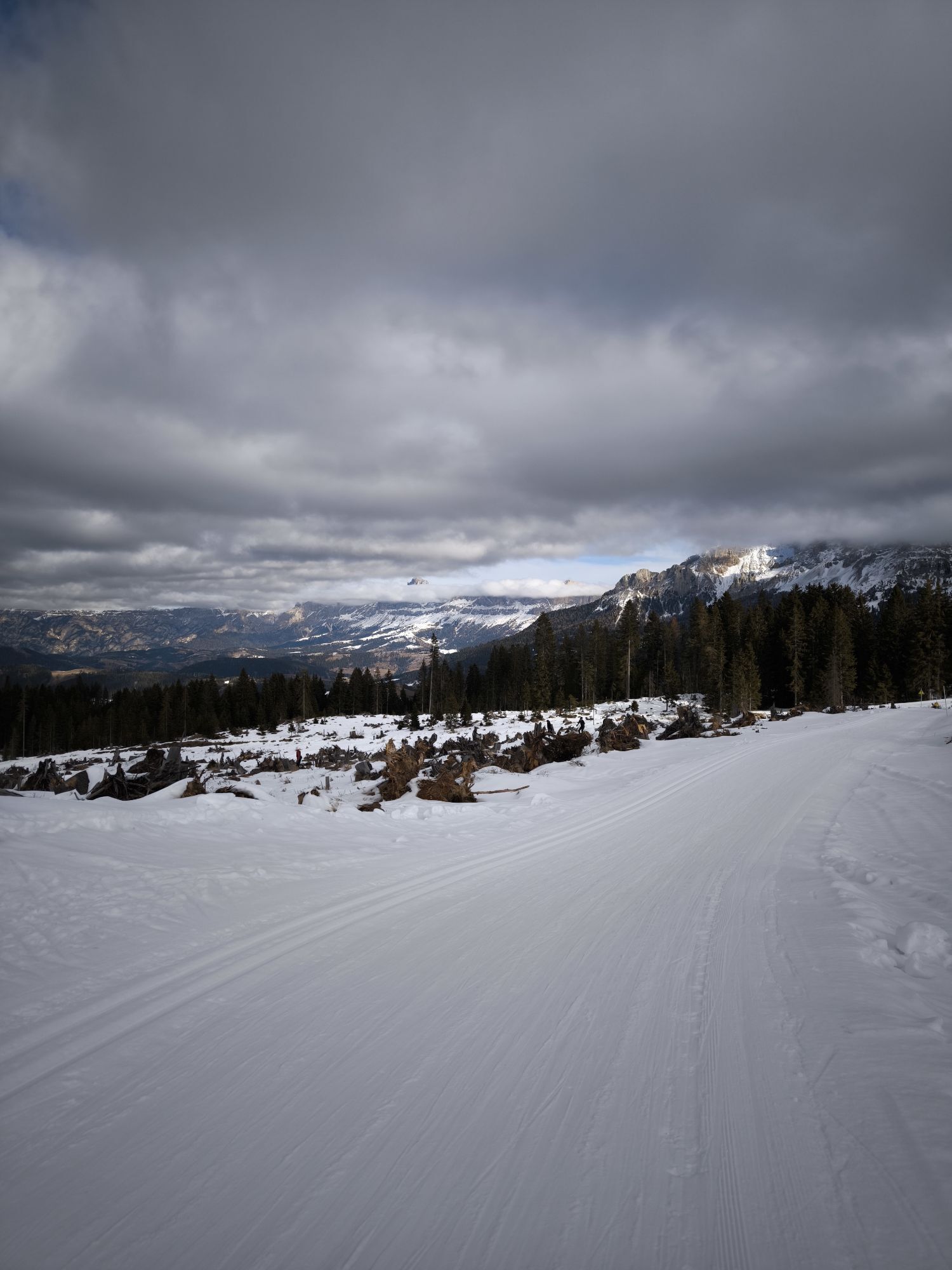
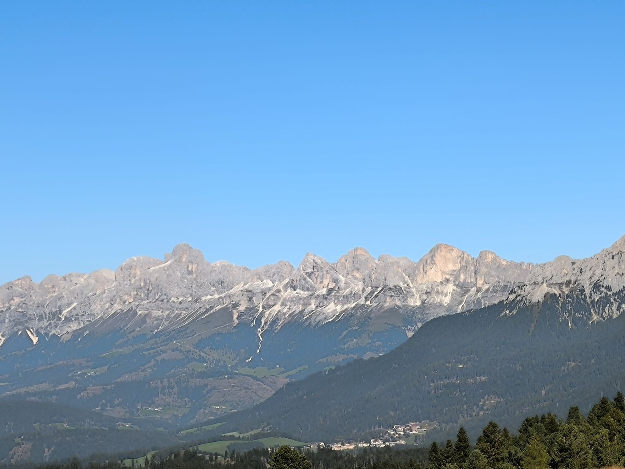
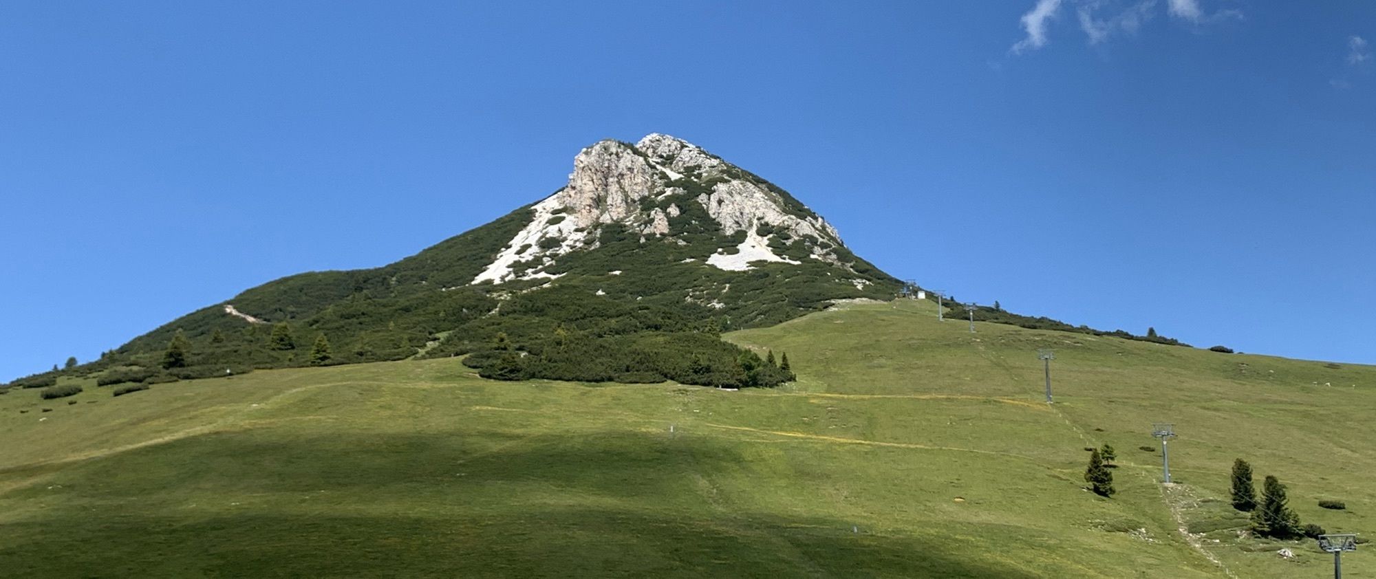
The Lavazè Plateau, a paradise for cross-country skiers, offers also itineraries for non-skiers. The most famous is the path that leads to Oclini Pass. The panorama ranges from the Dolomite peaks of the Latemar, the Catinaccio/Rosengarten and the Corno Bianco to the porphyritic peaks of the Pala di Santa and the Corno Nero. The Vaia storm (October 2018) has considerably changed the landscape, making this route even more sunny and more panoramic.
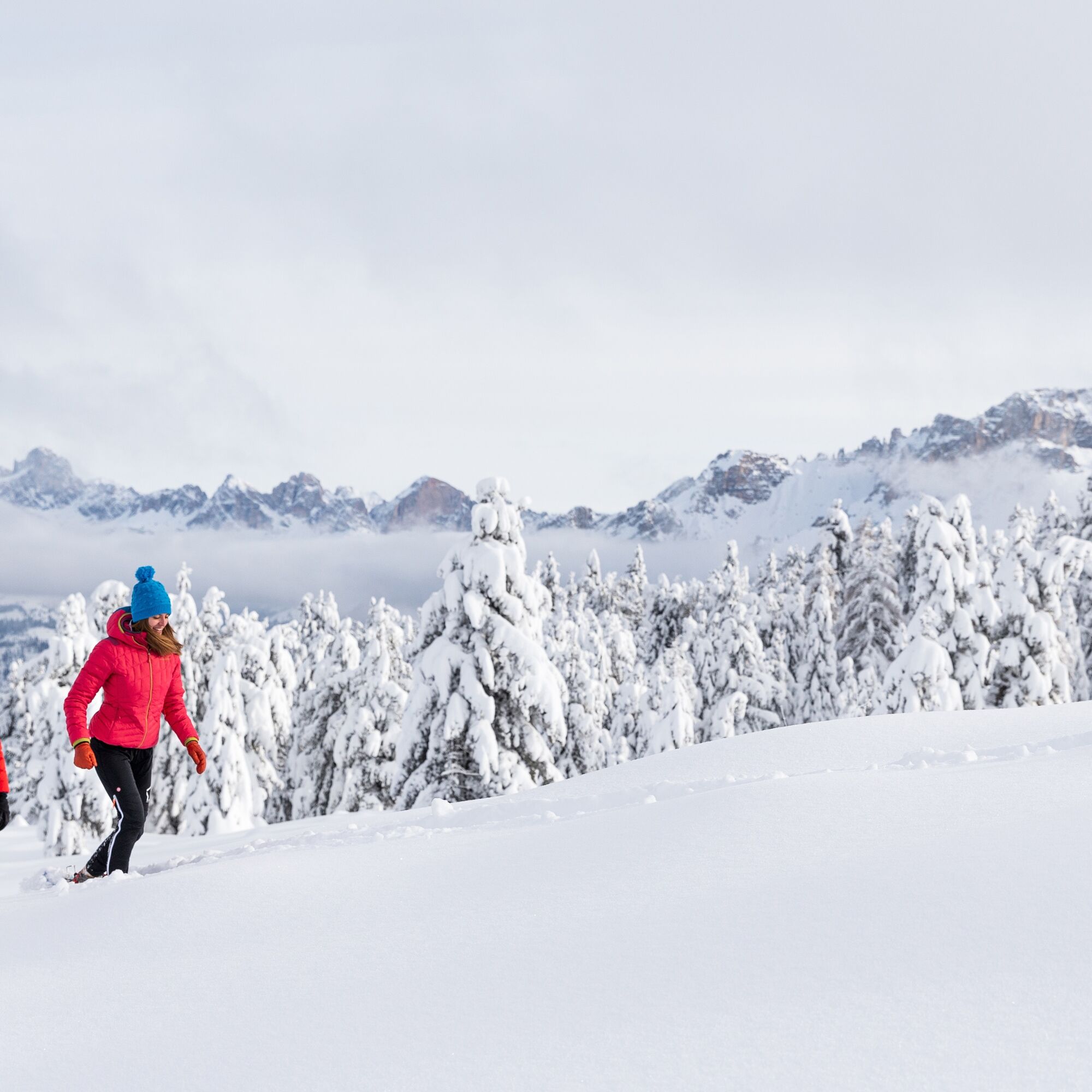
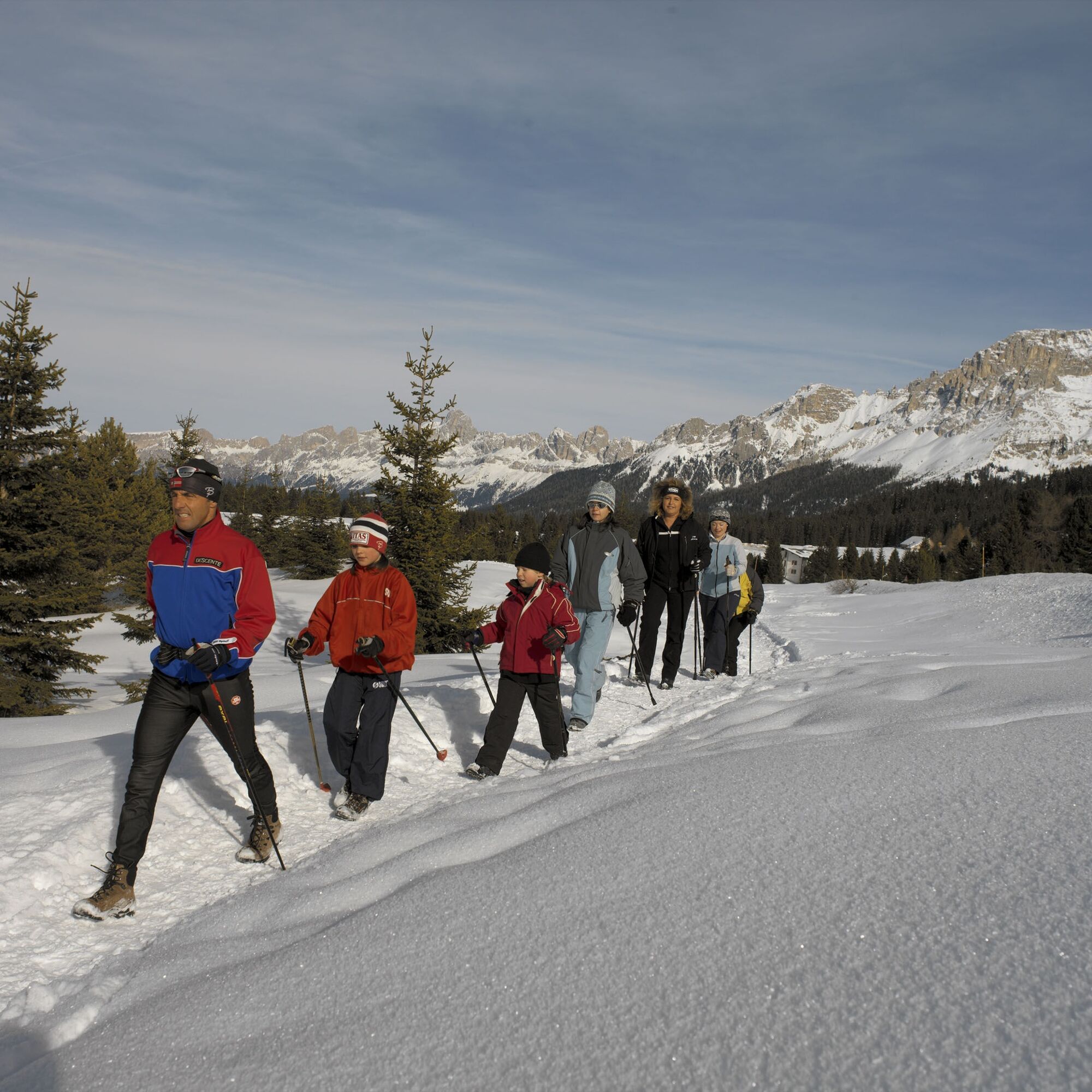
The easy and well-signposted walk starts from Passo Lavazè, in the square in front of the Sporthotel Lavazè. It leads first to Malga Varena and then to Malga Ora. From Malga Ora it is possible to reach Passo Oclini on an uphill track. The two huts are open to the public.
The return takes place on the same itinerary.
Ano
Ano
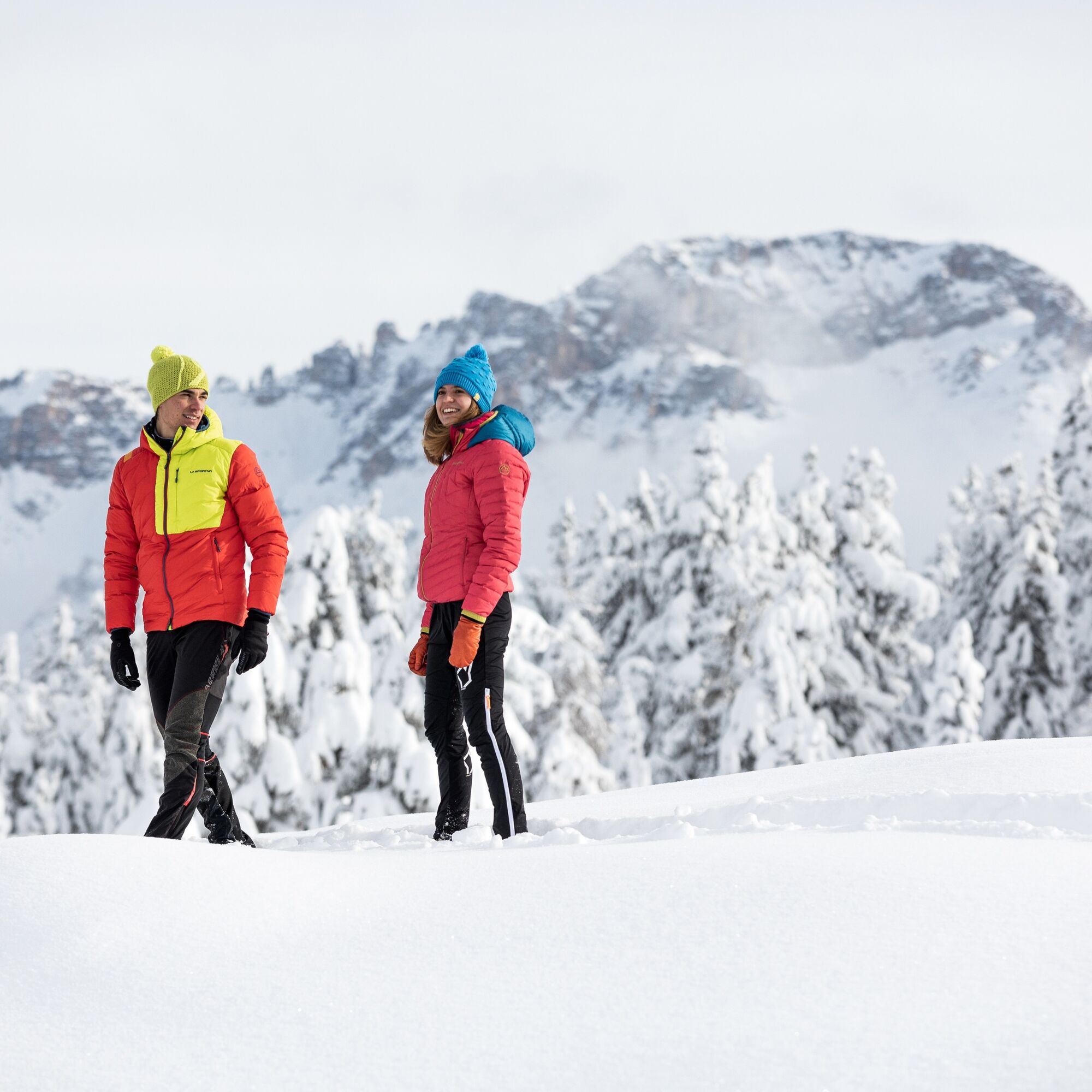
Hiking shoes, hiking poles and warm winter clothes.
Experience walking along irregular mountain trails is recommended. It may happen that the path is not clear form snow. In the event of fresh snow, microspikes are recommended. Be careful of ice when temperatures are particularly low.
Please note that the practicability of the itineraries in a mountain environment is strictly linked to the contingent conditions and is therefore influenced by natural phenomena, environmental changes and weather conditions. For this reason, the information contained in this page may have changed. Before leaving for a tour, make sure the path you will approach is still accessible by contacting the owner of the mountain hut, the alpine guides or the visitor centres of the nature parks, the info offices of the local tourist board.
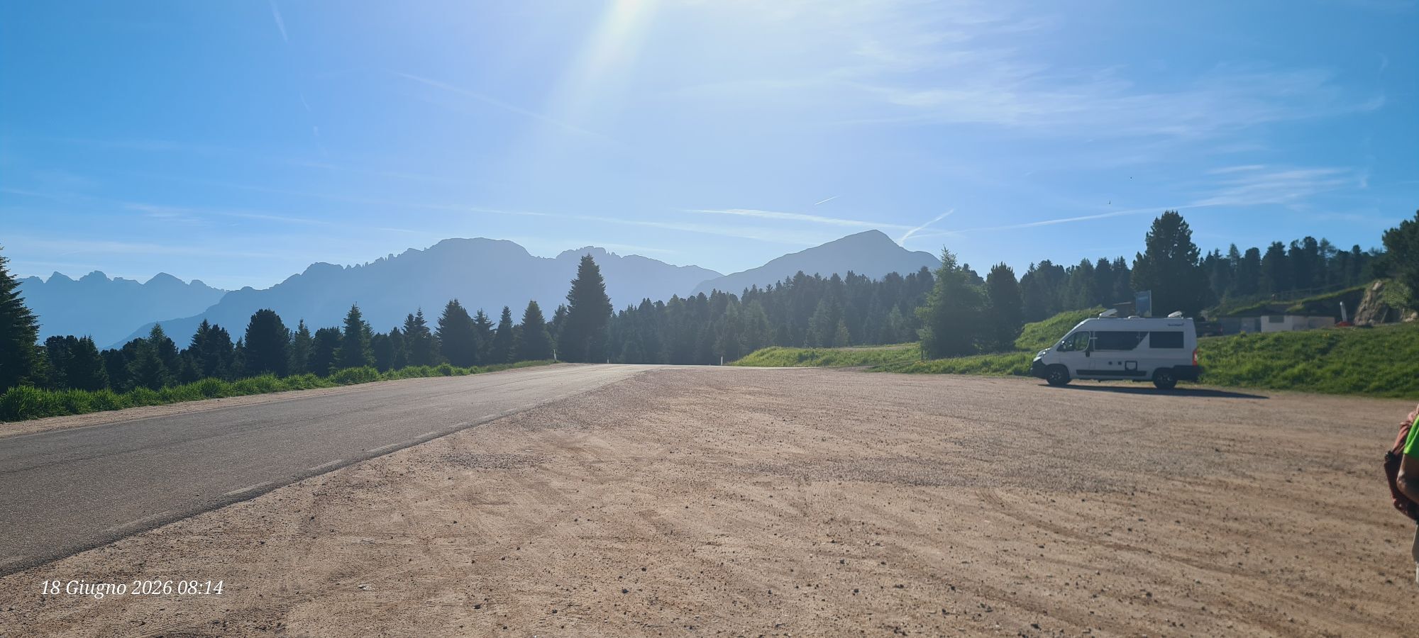
From Cavalese drive first to the village of Varena and then continue util you reach Passo Lavazè. From Predazzo drive first to the village of Tesero.
The skibus connects the villages of Tesero and Cavalese with Passo Lavazè.
Several car parks at Passo Lavazè, near the hotels or in the direction of Val d'Ega.
1
APT Val di Fiemme - Tel. +39 0462 241111 - info@visitfiemme.it - www.visitfiemme.it
Lavazè Spettacolo della Natura - Tel. + 39 0462 230447 - info@lavaze.com - www.lavaze.com
Along the way you will find two mountain huts, ideal for a typical lunch or a sweet snack.
Oblíbené prohlídky v okolí
- 4,9
Torre di Pisa mountain hut
středníTuristika 9,09 km - 4,7
Passo Costalunga - Sella del Ciampaz
středníTuristika 8,35 km - 5,0
Latemar Umrundung - die Kurze und Bequeme
středníTuristika 12,1 km - 4,5
Kölner Hütte - Hirzelsteig - Rotwandhütte - Baita Tre - Karerpass
středníTuristika 9,56 km - 4,8
Malga Cislon
středníTuristika 9,37 km - 5,0
Giro del catinaccio a nova levante
Turistika 11,7 km - 4,8
Latemar Tour - Tour 930
středníMountainbike 37,4 km - 4,8
Rifugio Paolina - Laurin's Lounge - Kölner Hütte - Rifugio Fronza alle Coronelle - Paolina
středníTuristika 8,19 km - 5,0
Tour of Monte Cornon
středníTuristika 7,65 km - 4,5
Planet path
světloTuristika 8,86 km
Pěší turistika a stopování


Nenechte si ujít nabídky a inspiraci pro vaši příští dovolenou
Vaše e-mailová adresa byl přidán do poštovního seznamu.