







Translagorai - Stage 4

Úroveň obtížnosti: T3


WARNING! Bivacco Aldo Moro not accessible from August 08, 2025 due to reconstruction works of the bivouac.
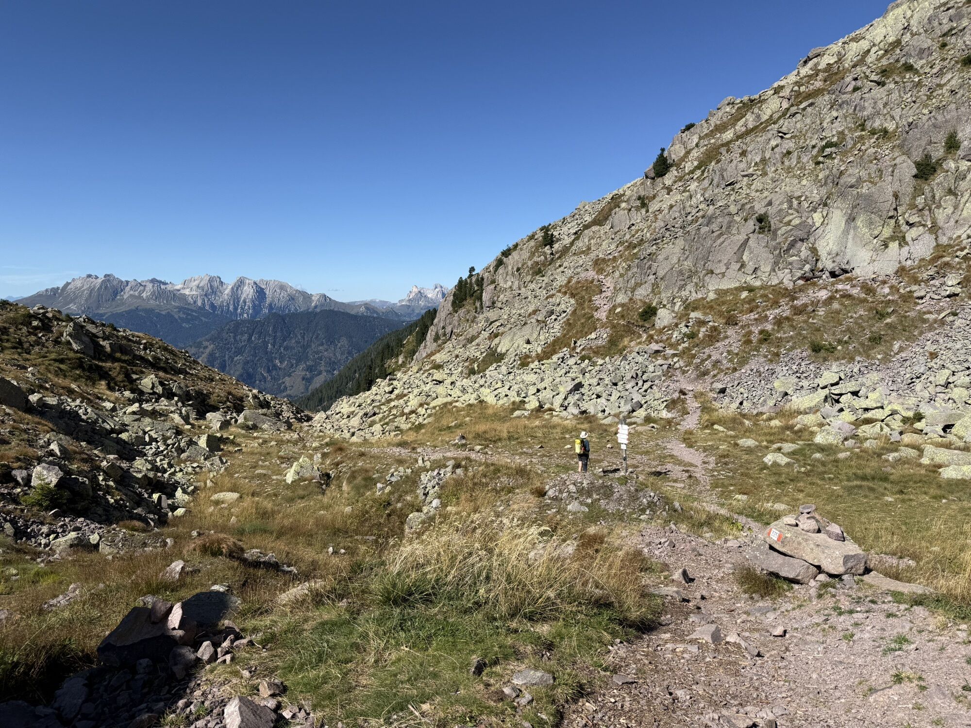
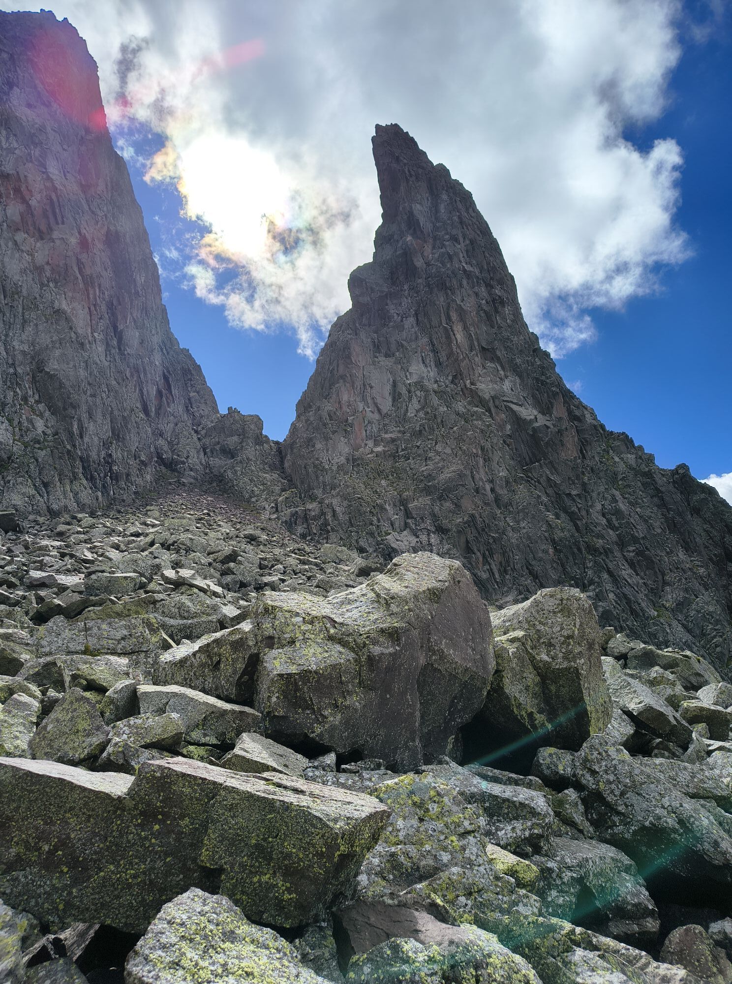
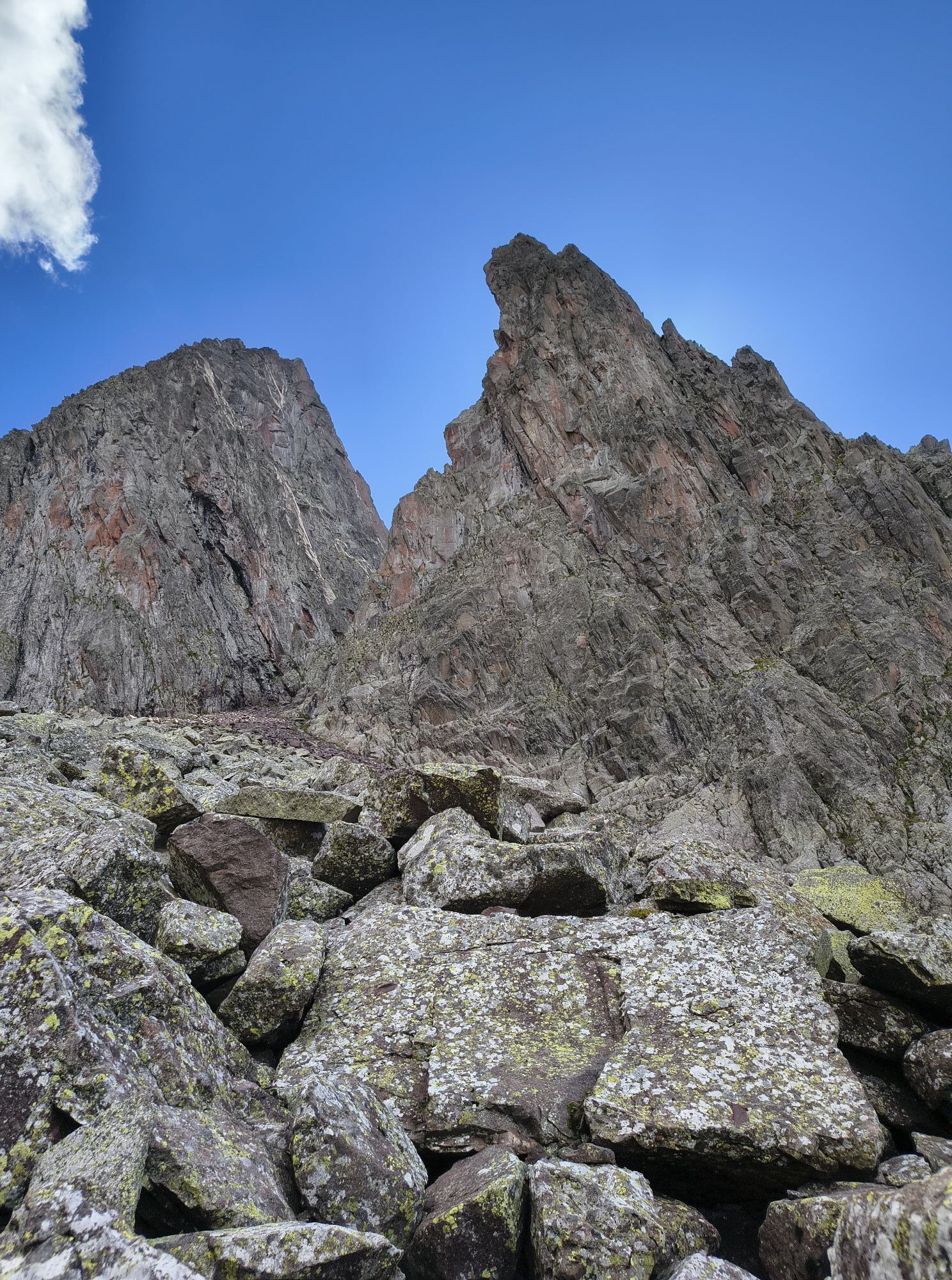
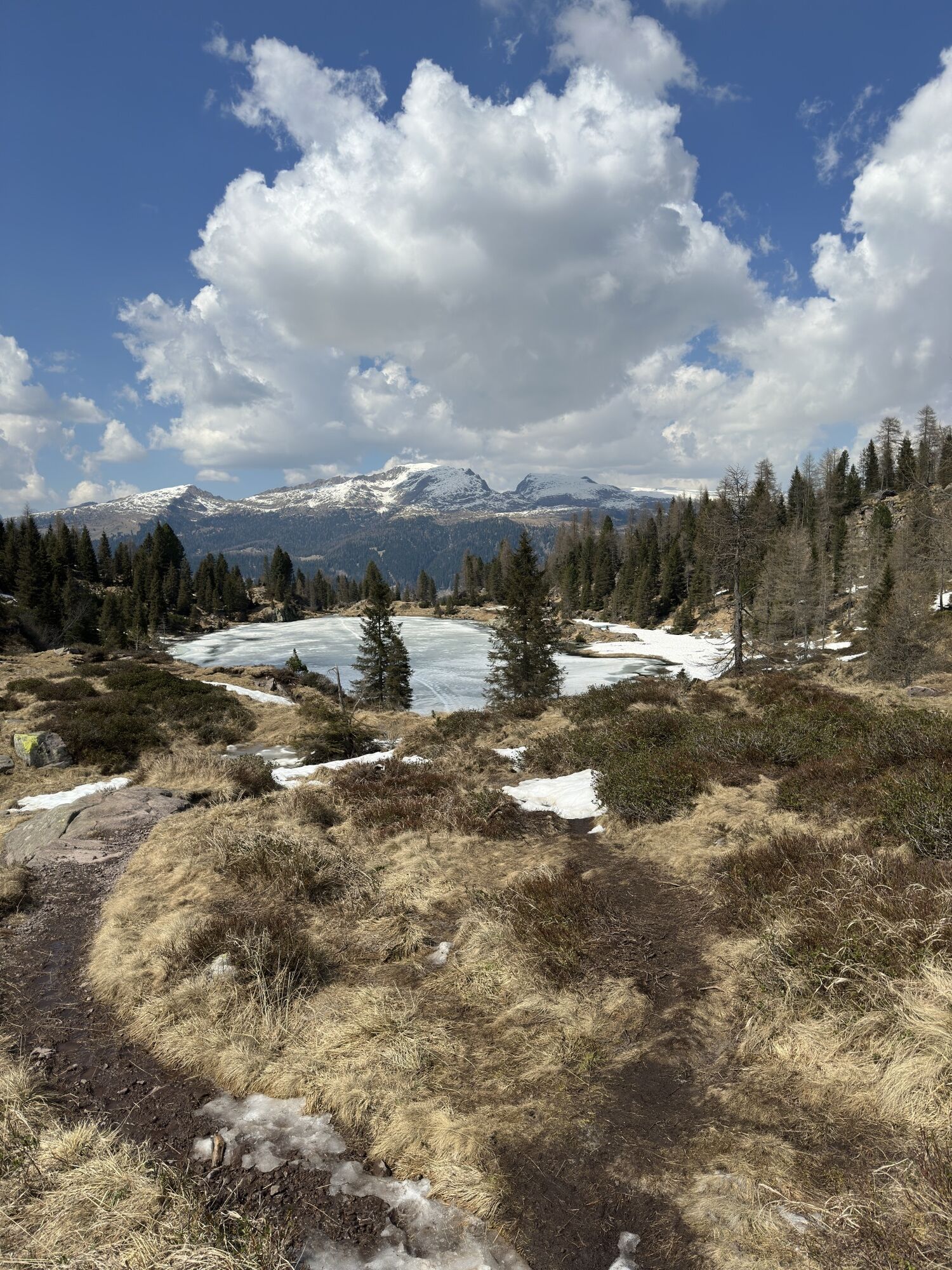
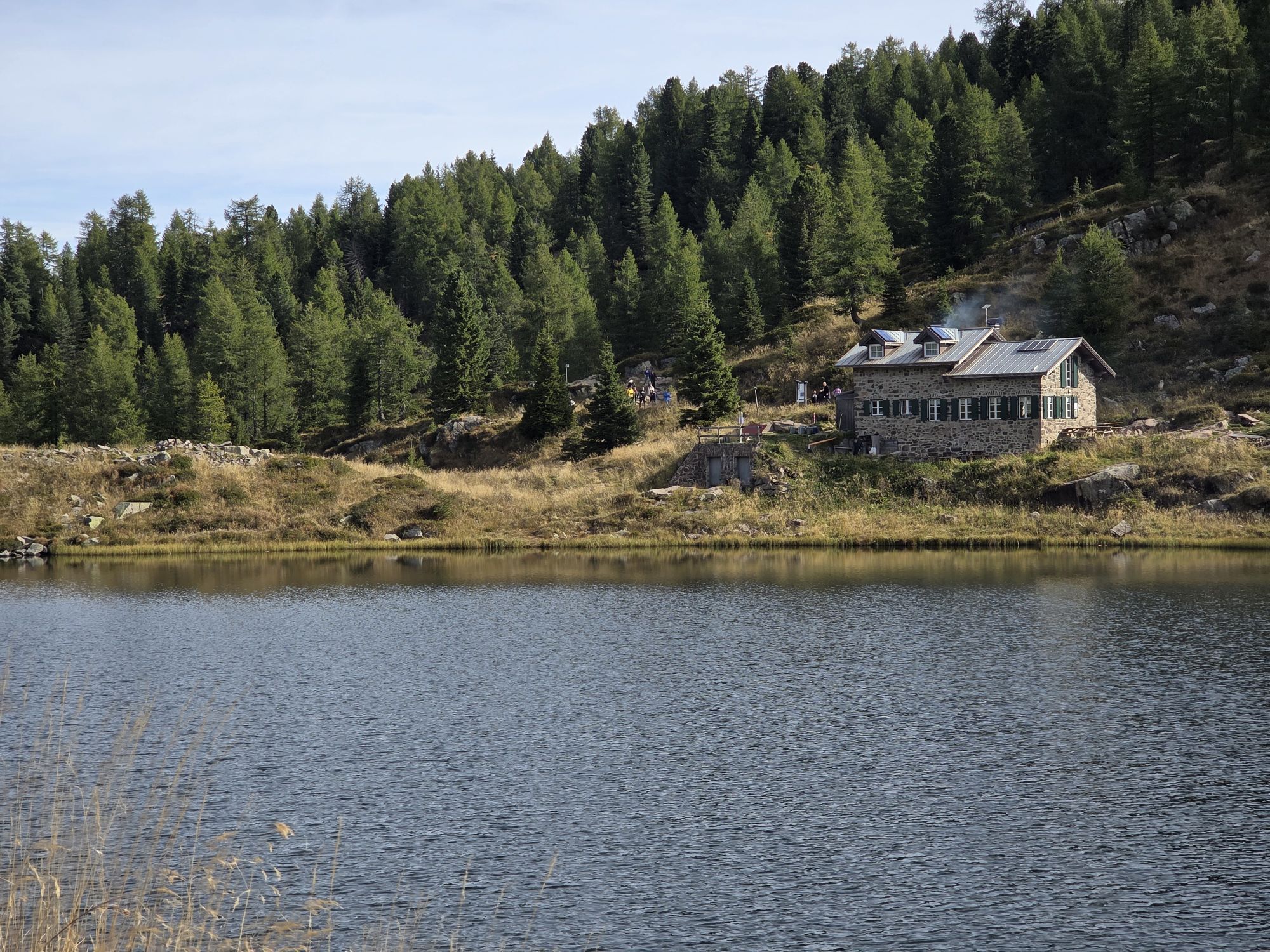
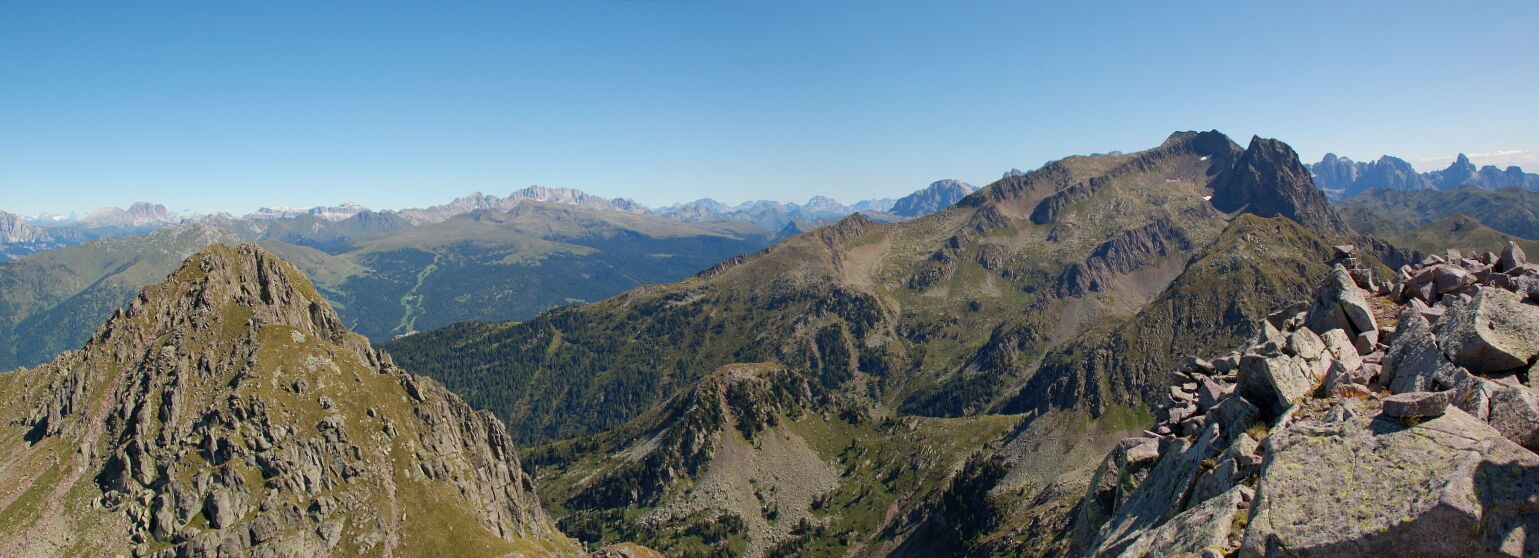
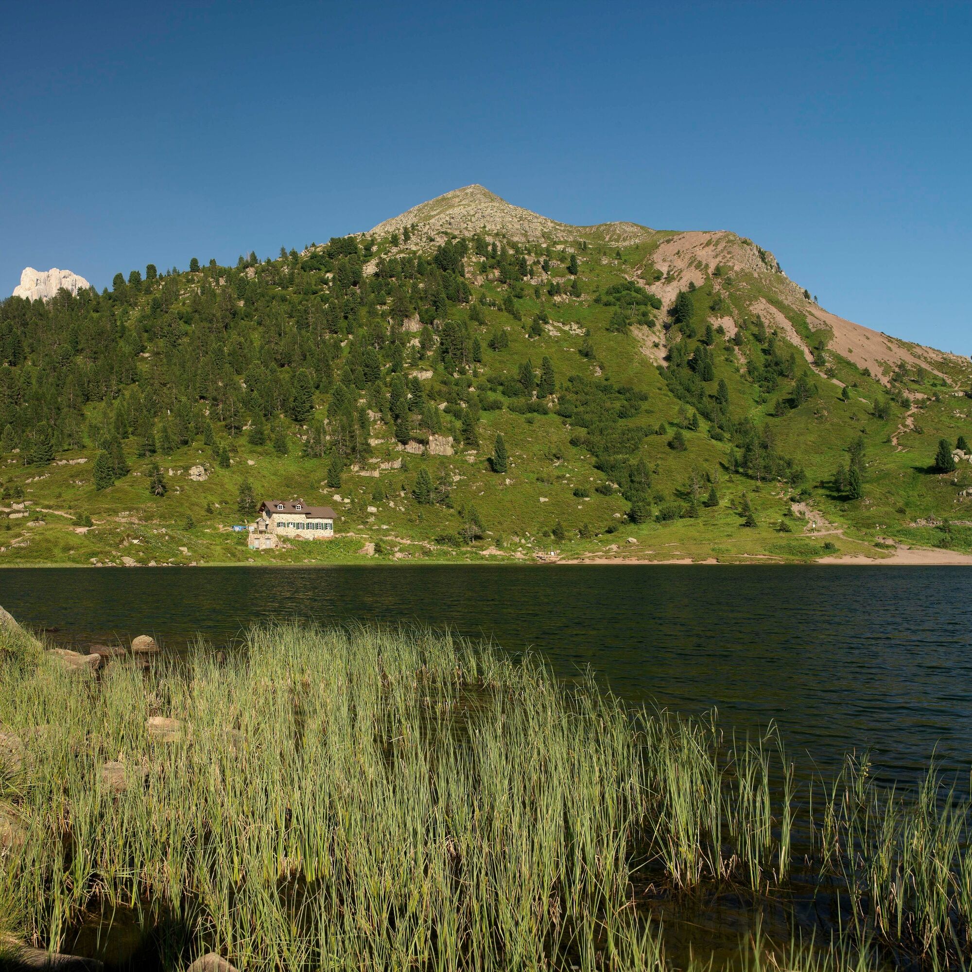
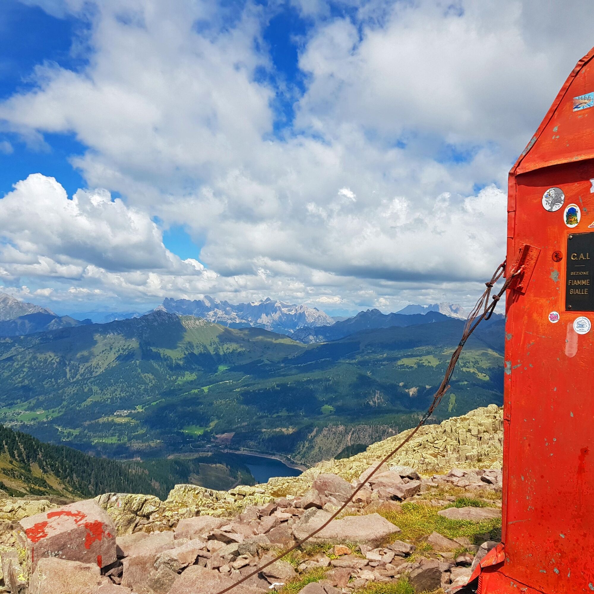
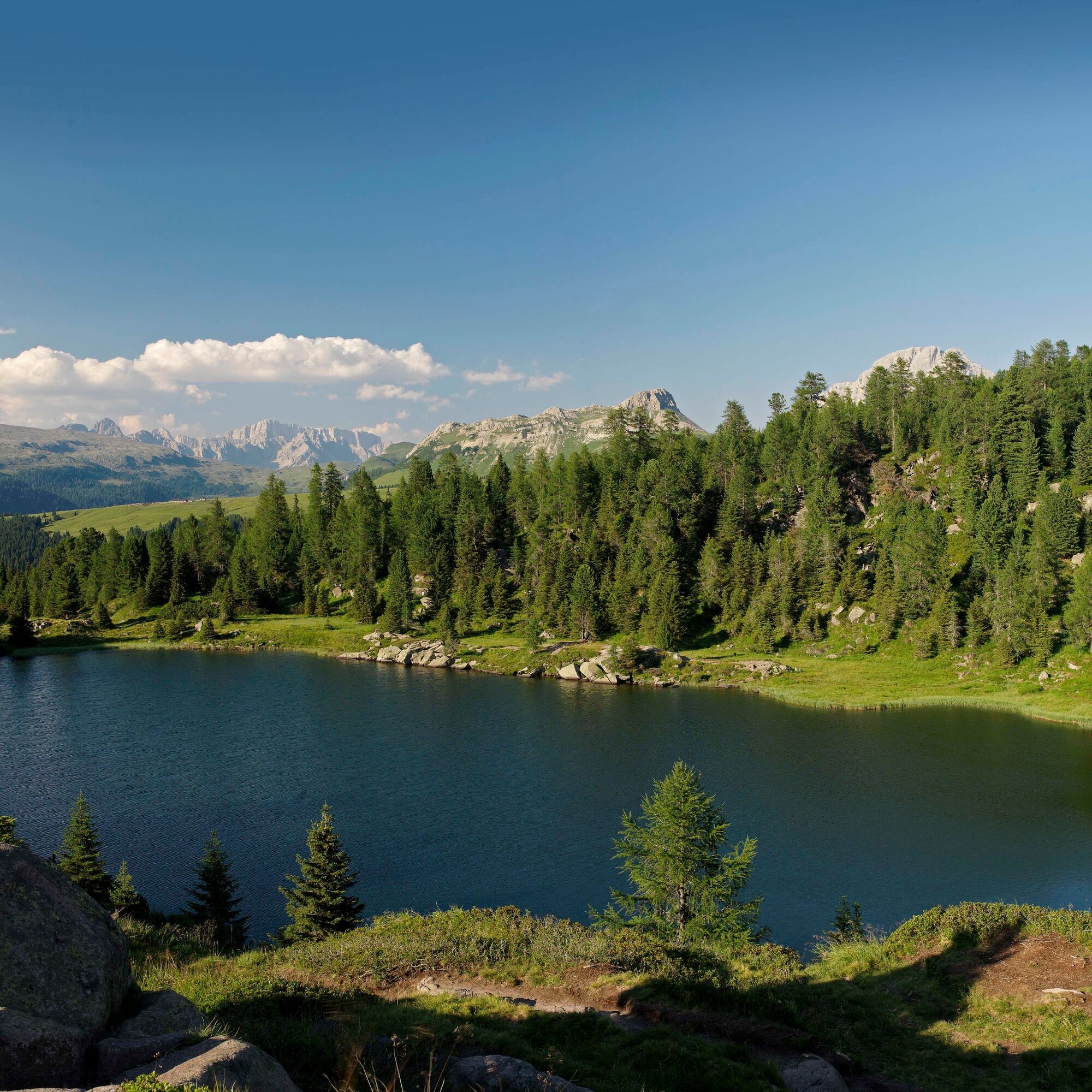
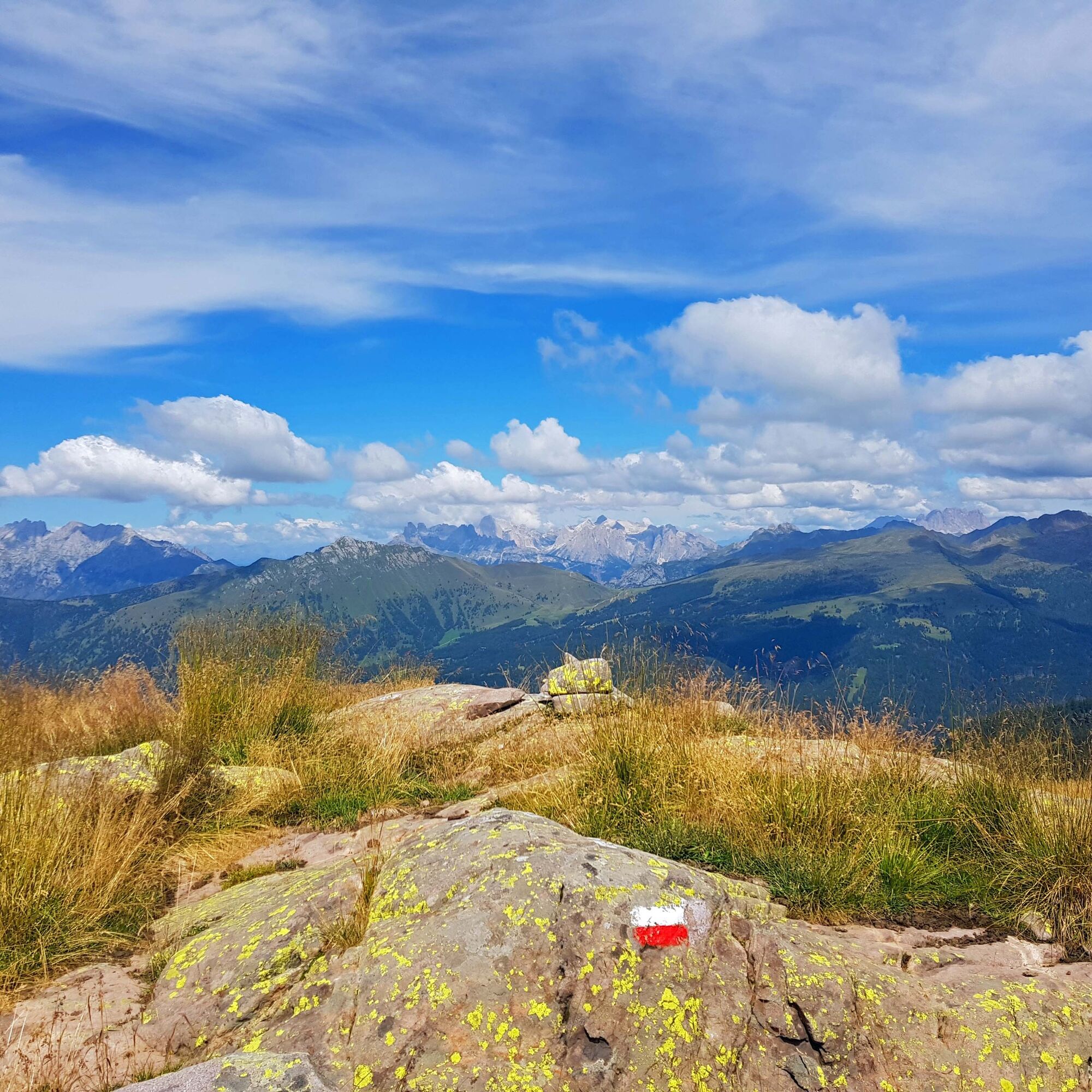
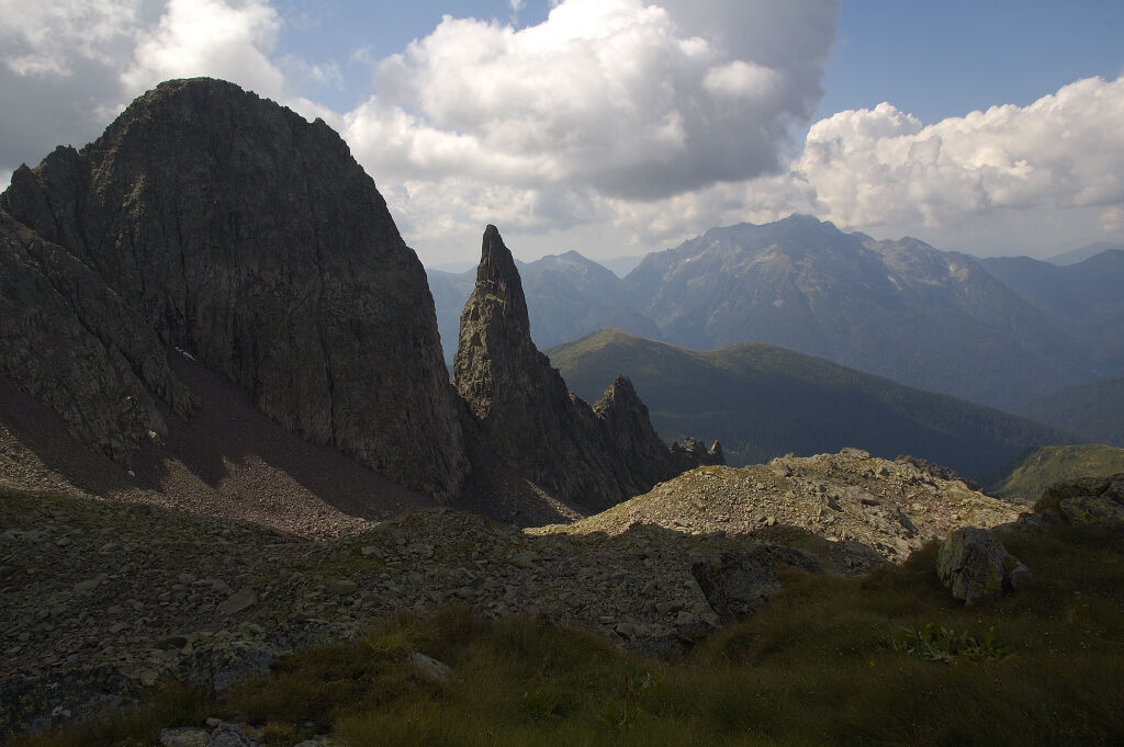
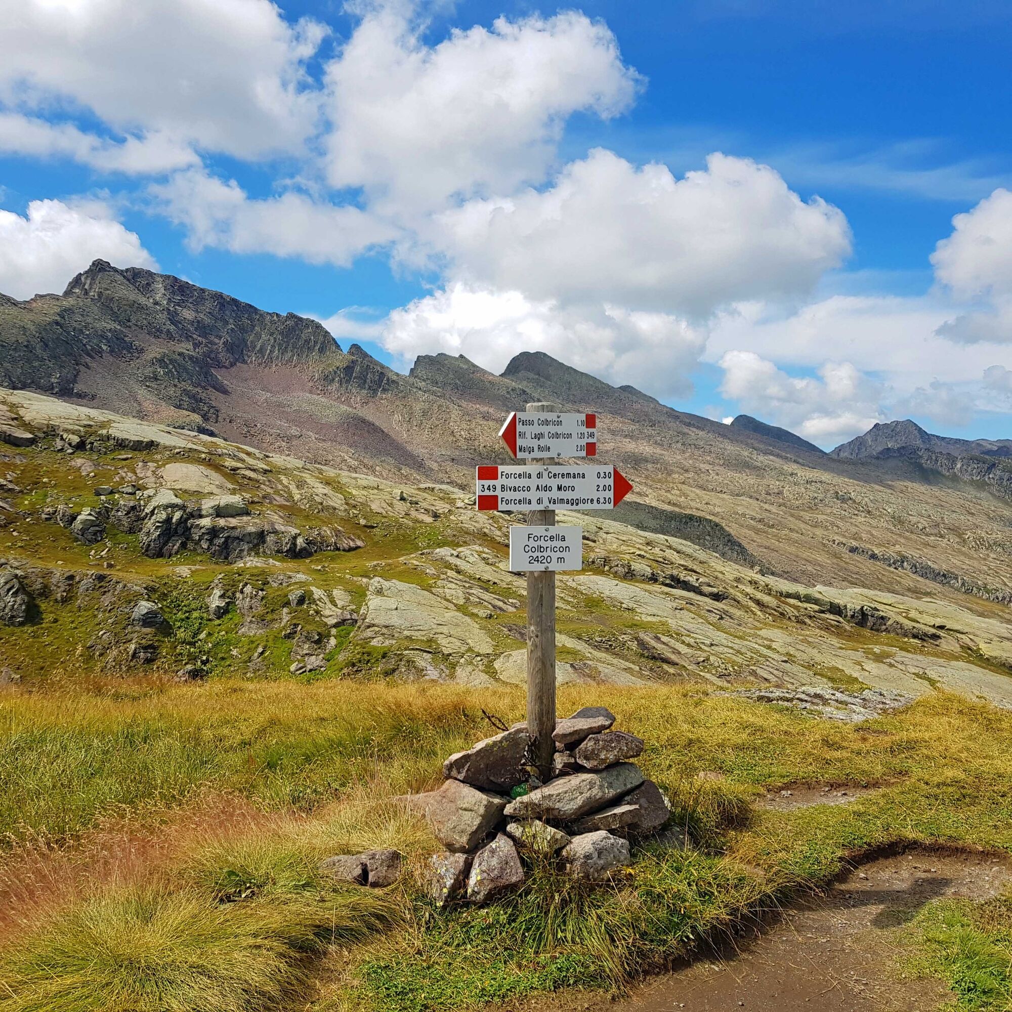
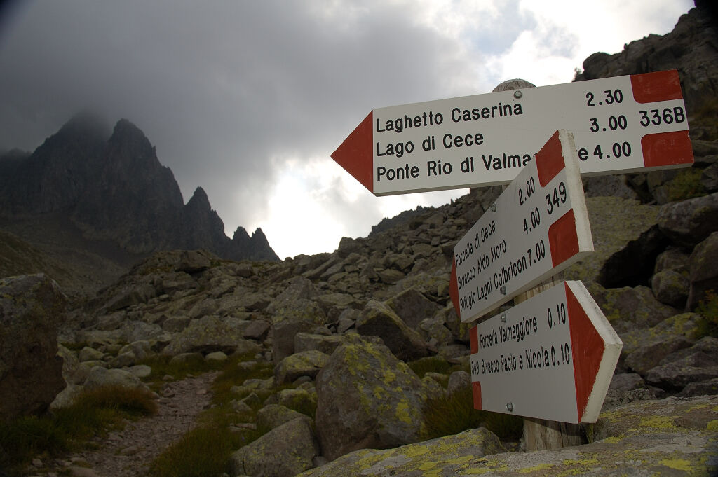
Departure from Bivacco Paolo e Nicola - Forcella Valmaggiore (2,180 m) on trail No. 349 to Forcella di Cece (2,393 m) and through Cima di Valbona (2,349 m) you reach Bivacco Aldo Moro located on Cima di Bragarolo (2,565 m). The bivouac has 9 beds. From Bivacco Aldo Moro on trail No. 349 to Forcella Ceremana (2,428 m), continue and bypass Cima del Colbricon; then descend to Passo di Colbricon (1,908 m) and subsequently, always on trail No. 349 to Rifugio Colbricon (1,927 m) (refreshment point only).
From here you quickly reach Malga Rolle on trail No. 348, the end point of the trekking route and bus stop for returning to Predazzo and Val di Fiemme www.trentinotrasporti.it
Ano
Hiking shoes, waterproof jacket, trekking poles, water, snacks, and sunscreen.
Multi-day hiking gear, food, tent, and sleeping bag.
THE 10 RULES FOR HIKERS
Study and prepare your itinerary well Choose a route suitable for your physical condition Bring appropriate clothes and equipment Check the weather report Starting alone is risky, bring your mobile phone Leave information about your itinerary and approximate return time If you are not sure, do not hesitate to rely on a professional Pay attention to the signs and markings along the route If tired or if you have problems, do not hesitate to turn back In case of an accident call 112As you can imagine, the passability of routes in a mountain environment is strictly linked to current conditions and depends therefore on natural phenomena, environmental changes, and weather conditions. For this reason, the information contained in this sheet may have changed. Before leaving, check the status of the route by contacting the refuge manager on your path, alpine guides, visitor centers of natural parks, and tourist offices.
From Passo Rolle you return to Predazzo with the regular buses of Trentino Trasporti
T3
MORE INFORMATION:
APT Val di Fiemme - Tel. +39 0462 241111 - info@visitfiemme.it - www.visitfiemme.it

Oblíbené prohlídky v okolí
- 4.5
Cavallazza Peak
středníTuristika 7.82 km - 4.9
Cima d’Asta (vetta via normale)
středníTuristika 17.5 km - 4.2
The three lakes
středníTuristika 11.1 km - 4.5
Tour of Lusia Lakes
středníTuristika 13.0 km - 5.0
Colbricon Lakes
světloTuristika 4.33 km - 5.0
Cristo Pensante
středníTuristika 9.13 km - 3.0
Juribrutto Lake
středníTuristika 6.55 km - 4.5
Juribrutto Peak
světloLyžařská trasa 7.40 km Dolomites high mountain trail no. 2
heavyTuristika 147.4 km- 5.0
Col Margherita - Geological Trail - Lake Cavia - San Pellegrino Pass
heavyTuristika 7.82 km
Pěší turistika a stopování


Nenechte si ujít nabídky a inspiraci pro vaši příští dovolenou
Vaše e-mailová adresa byl přidán do poštovního seznamu.





