


Gardonè - Vardabe
Úroveň obtížnosti: T1
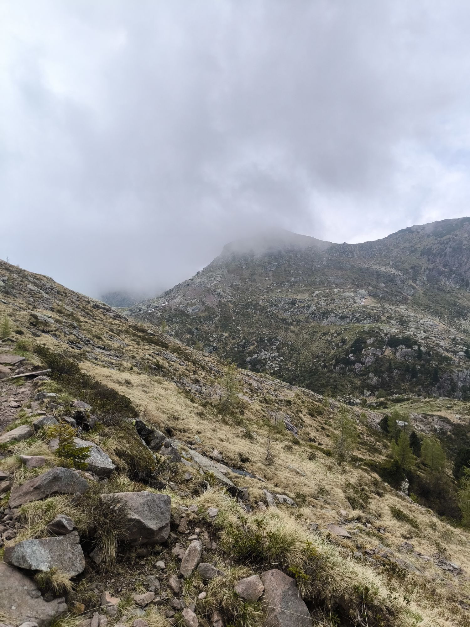
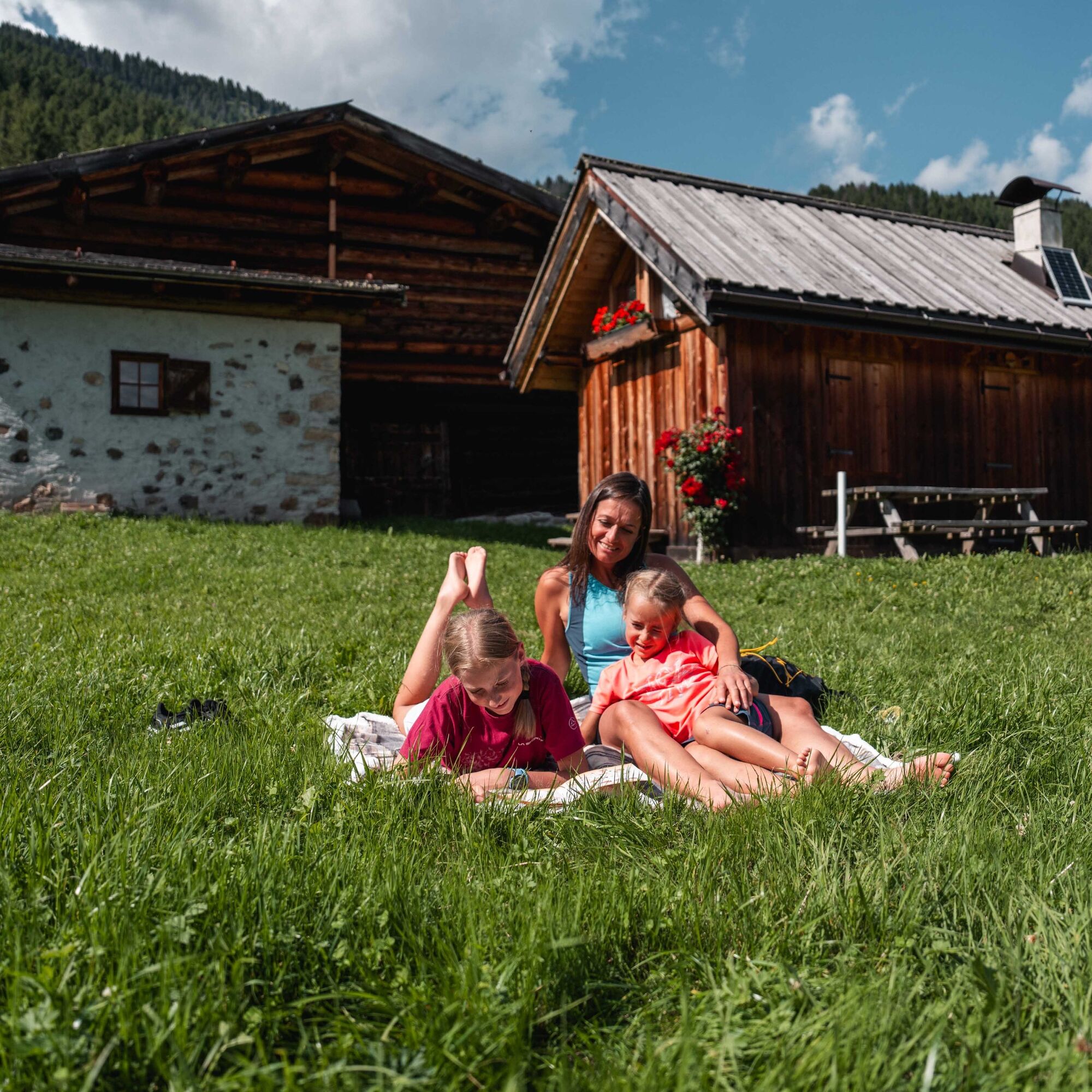
Vardabe is a magical place, a little oasis of peace, a spot you wouldn’t expect to find on the slopes of the Latemar. Its meadows, dotted with old alpine huts, are the classic picture-postcard view of a mountain holiday.

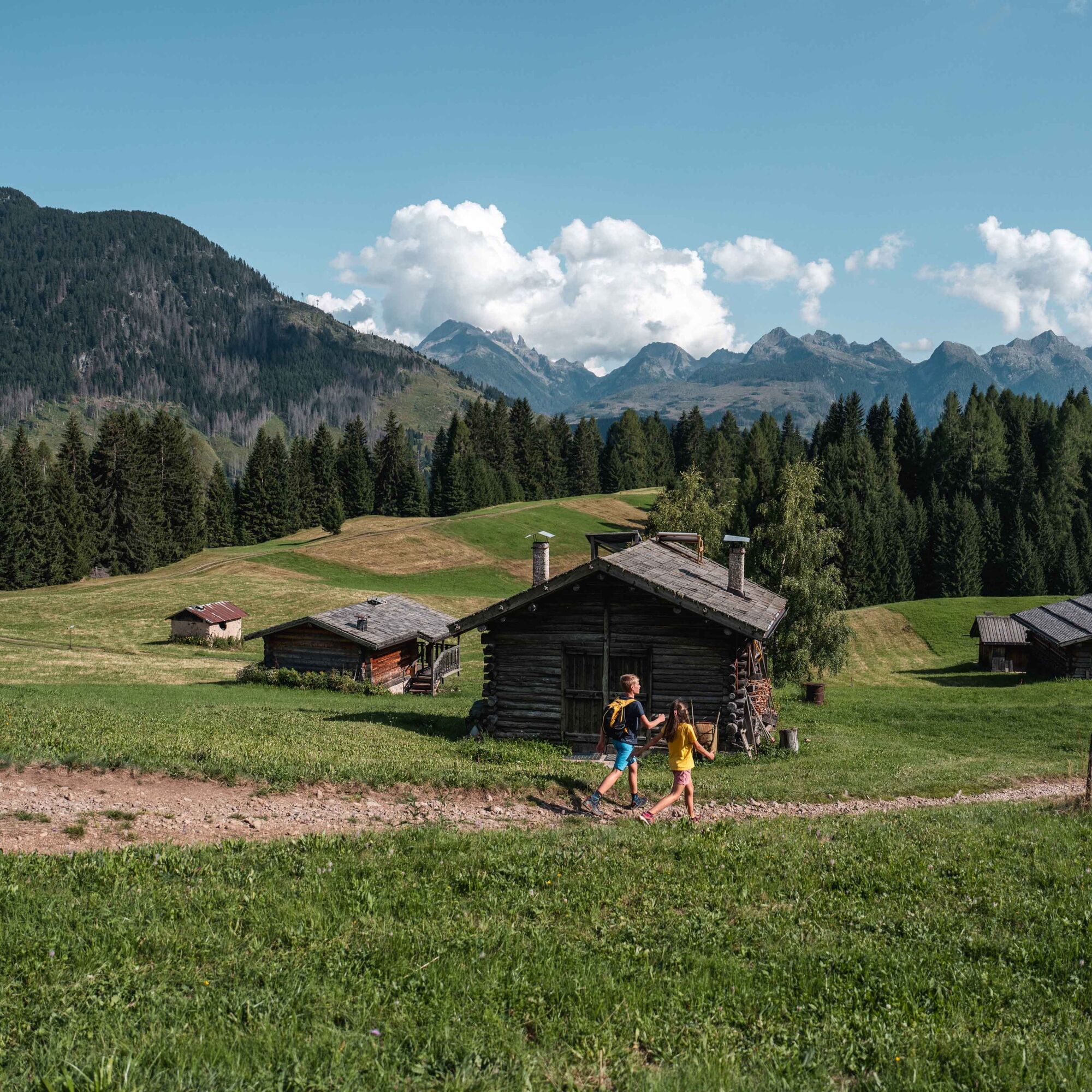
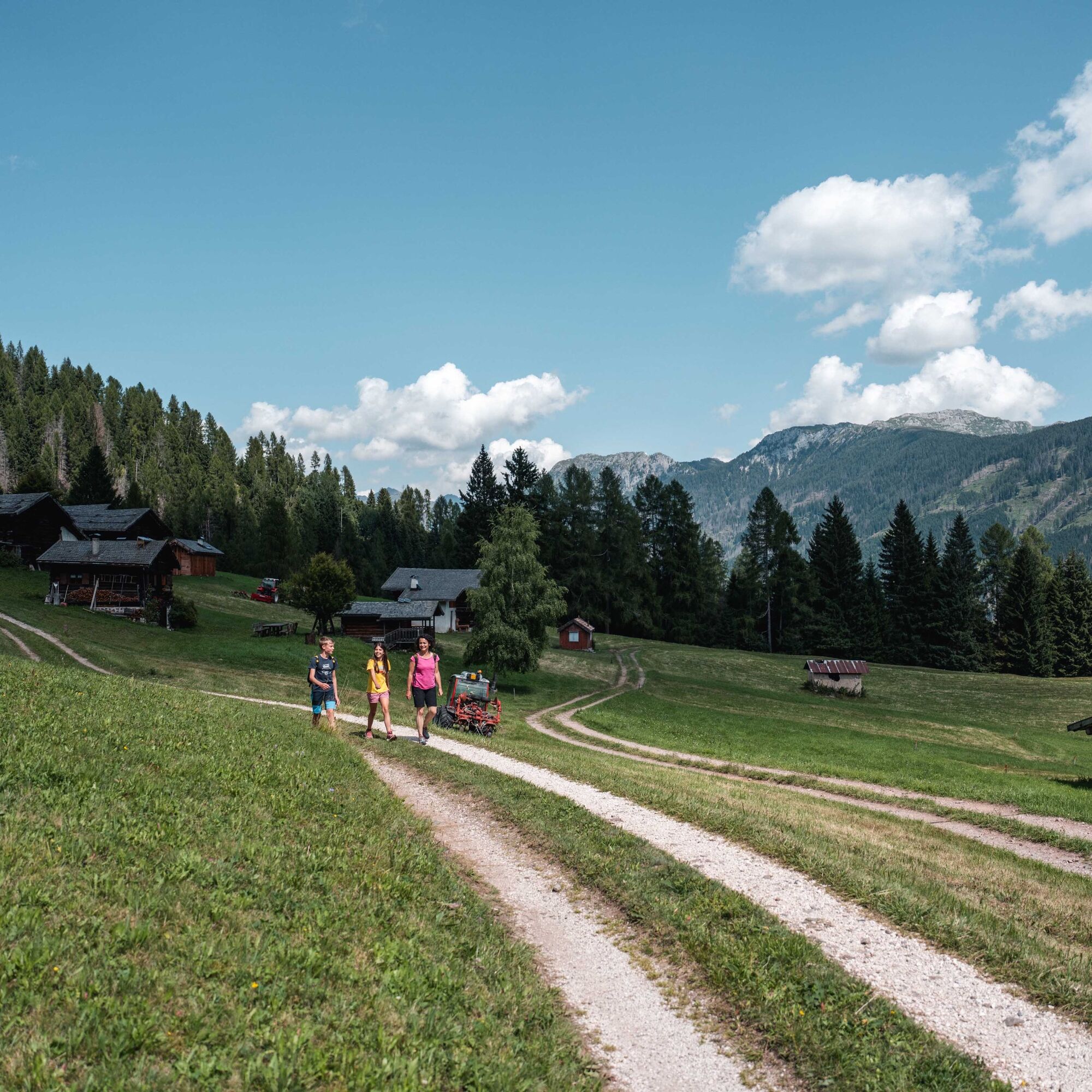

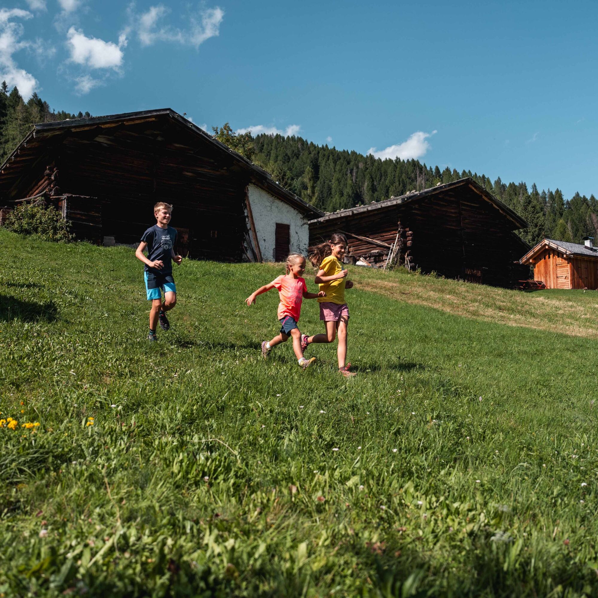
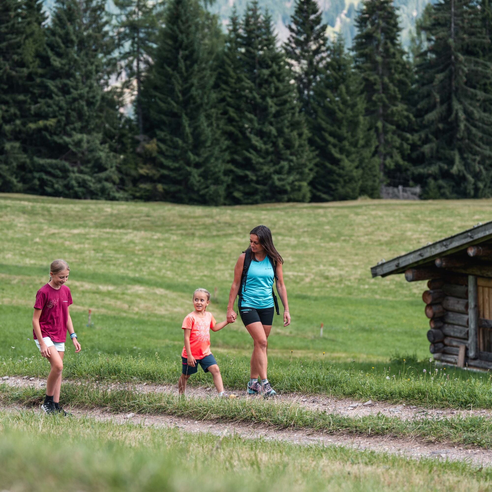
Take the cable car up to Gardonè. Take the “Il sentiero dei Draghi” trail and then follow the signs for “Le Prese”. When you reach the forest road, turn right and walk down the road until you reach the large meadow dotted with mountain huts. Continue right along the path through the meadows leading to the edge of the larch forest, where you take another forest road, which climbs gently back up to Gardonè and the cable car.
Ano
Ano
Hiking shoes, rain-jacket, water, sun cream.
Please note that the practicability of the itineraries in a mountain environment is strictly linked to the contingent conditions and is therefore influenced by natural phenomena, environmental changes and weather conditions. For this reason, the information contained in this page may have changed. Before leaving for a tour, make sure the path you will approach is still accessible by contacting the owner of the mountain hut, the alpine guides or the visitor centres of the nature parks, the info offices of the local tourist board.
By car from Predazzo head towards the Val di Fassa. At the end of the town, on the right, you will find the Latemar MontagnAnimata lifts.
Public bus to Predazzo and then Latemar Express train to the Latemar MontagnAnimata lifts.
Numerous parking lots at the lifts.
T1
MontagnAnimata - Tel. +39 0462 884400 - info@montagnanimata.it - www.montagnanimata.it
Bring a blanket and a packed lunch; it’s the perfect spot for a peaceful picnic (just be aware of when the hay is being cut).
Webové kamery z prohlídky
Oblíbené prohlídky v okolí
-
4.8
Santnerpass Klettersteig
středníVia ferrata 8.29 km -
4.8
Torre di Pisa mountain hut
středníTuristika 9.09 km -
4.7
Passo Costalunga - Sella del Ciampaz
středníTuristika 8.35 km -
5.0
Ciampedie - Gardeccia - Refuges Vajolet and Preuss - Refuge Re Alberto I - Gardeccia - Ciampedie
heavyTuristika 11.8 km -
4.7
Stage 1 Dolomiti Trek King in autumn - Catinaccio
heavyTuristika 15.3 km -
5.0
Latemar Umrundung - die Kurze und Bequeme
středníTuristika 12.1 km -
4.5
Kölner Hütte - Hirzelsteig - Rotwandhütte - Baita Tre - Karerpass
středníTuristika 9.56 km -
5.0
Rosengarten: Cigoladepass und Fassaner Höhenweg
středníTuristika 15.6 km -
4.8
Latemar Tour - Tour 930
středníMountainbike 37.4 km -
5.0
Giro del catinaccio a nova levante
Turistika 11.7 km

Pěší turistika a stopování


Nenechte si ujít nabídky a inspiraci pro vaši příští dovolenou
Vaše e-mailová adresa byl přidán do poštovního seznamu.