


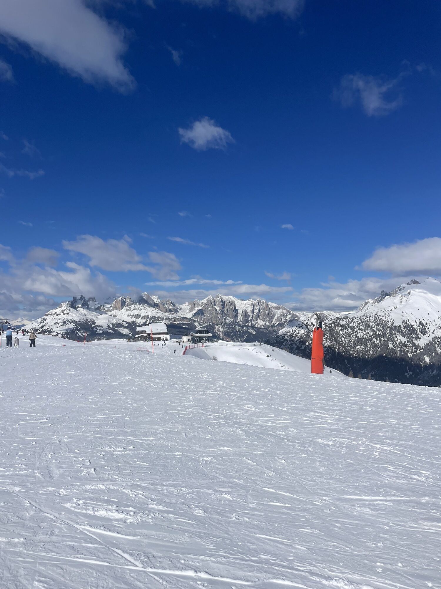
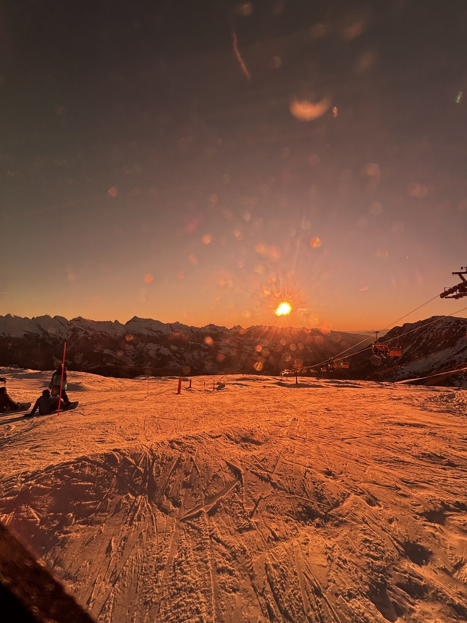
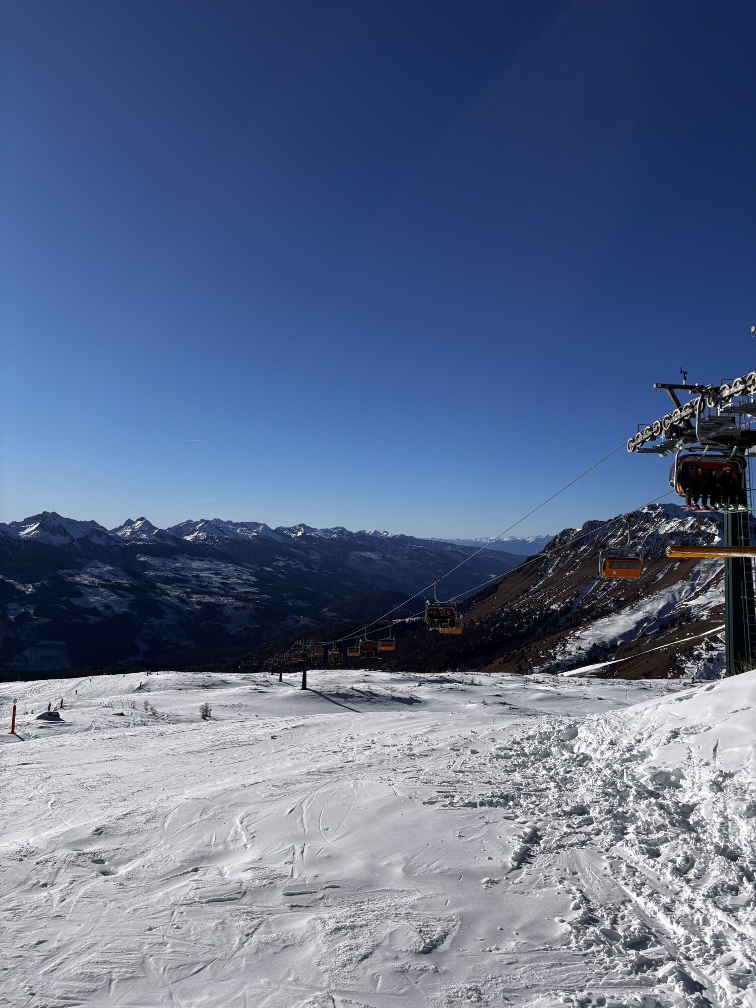
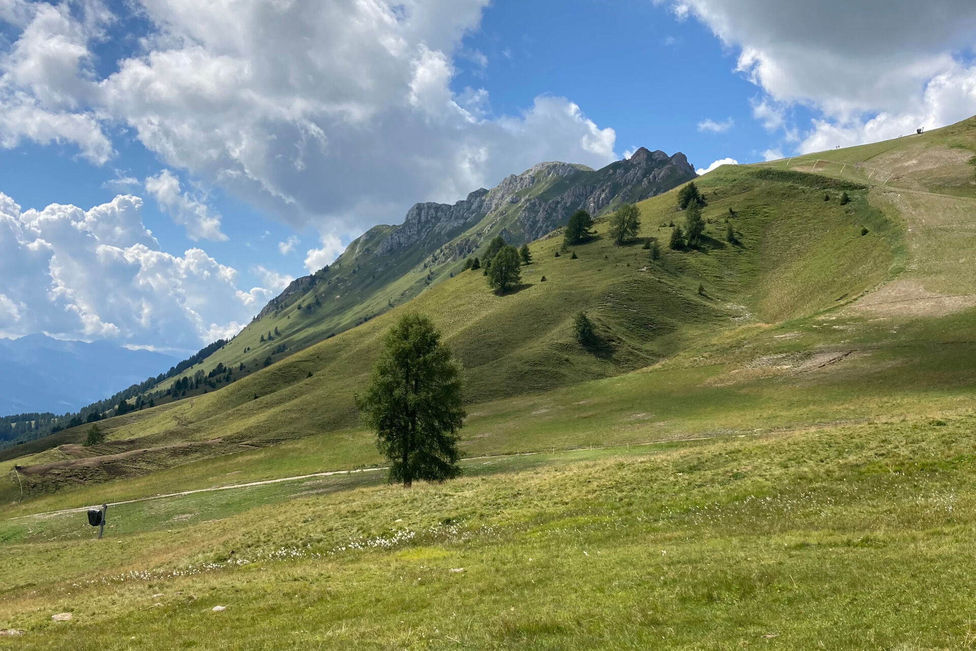
Moena - Lusia Lakes
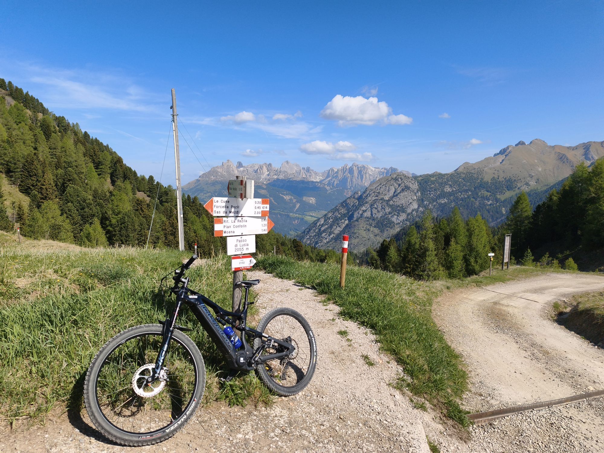
From "Le Cune", skirting the ski slope, walk path no. 614 down to Lusia Pass ("Pas de Lujia") and reach the namesake refuge. Here take path no. 633 leading to the Paneveggio-Pale di San Martino Natural...
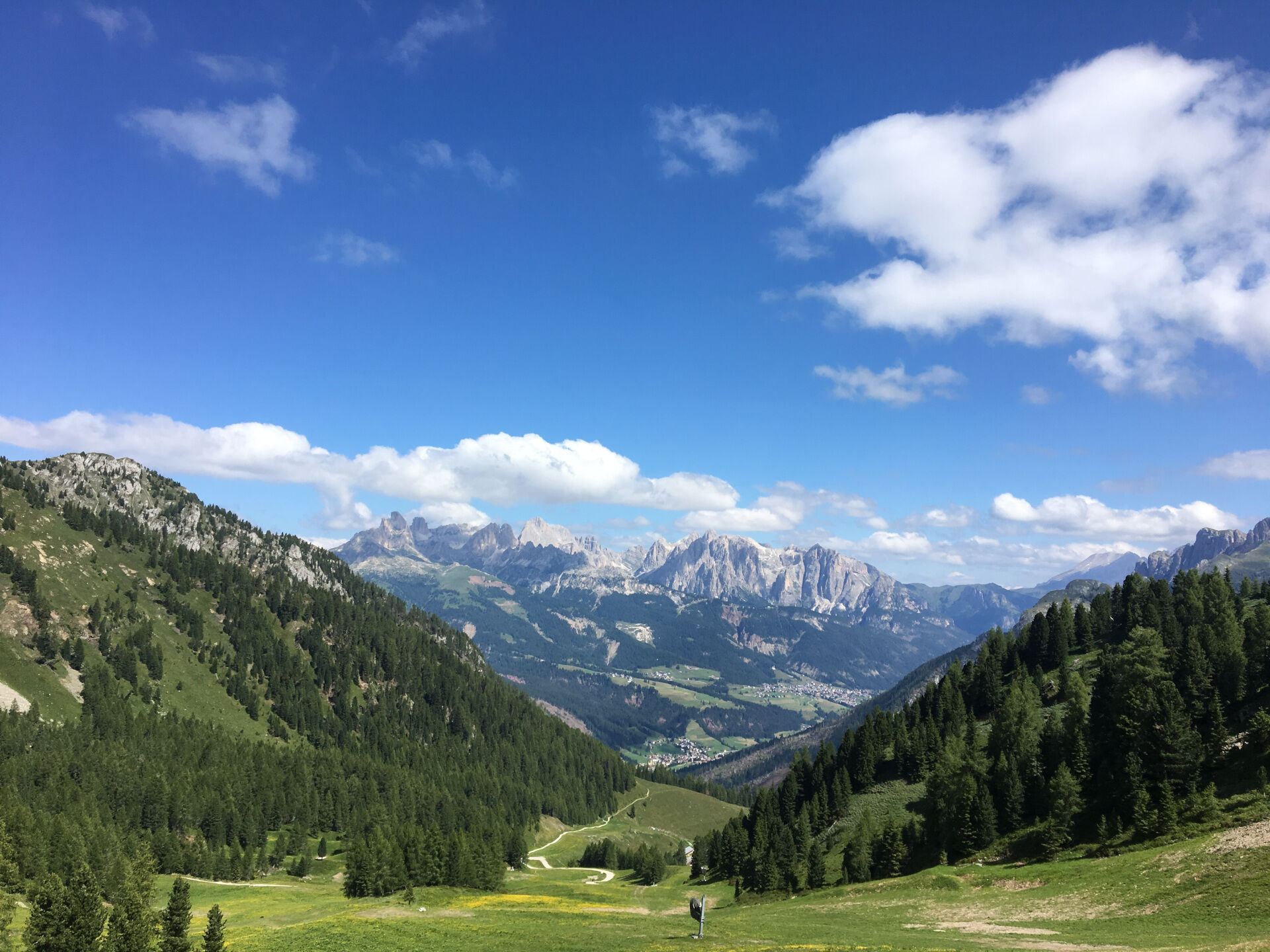
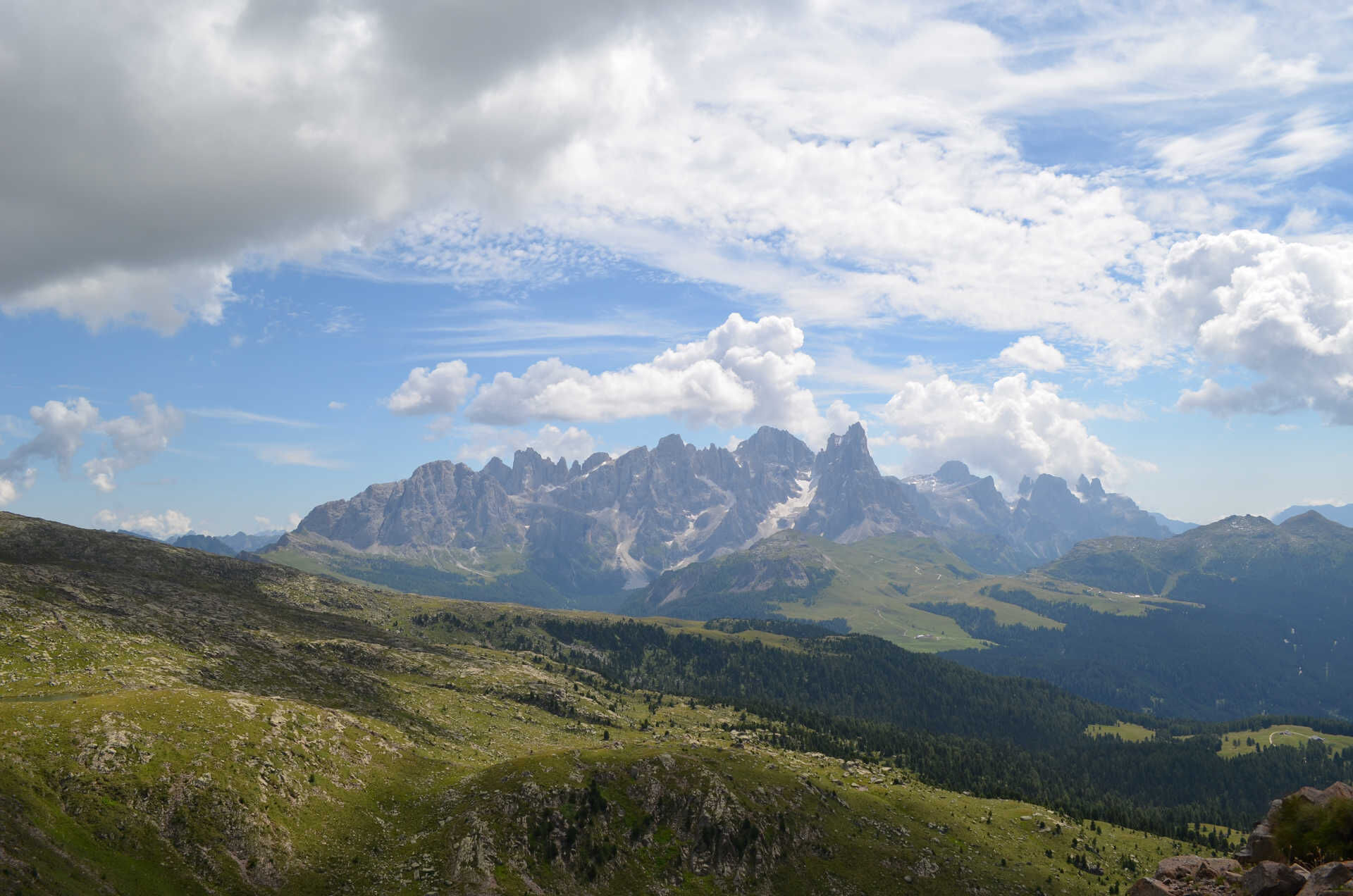
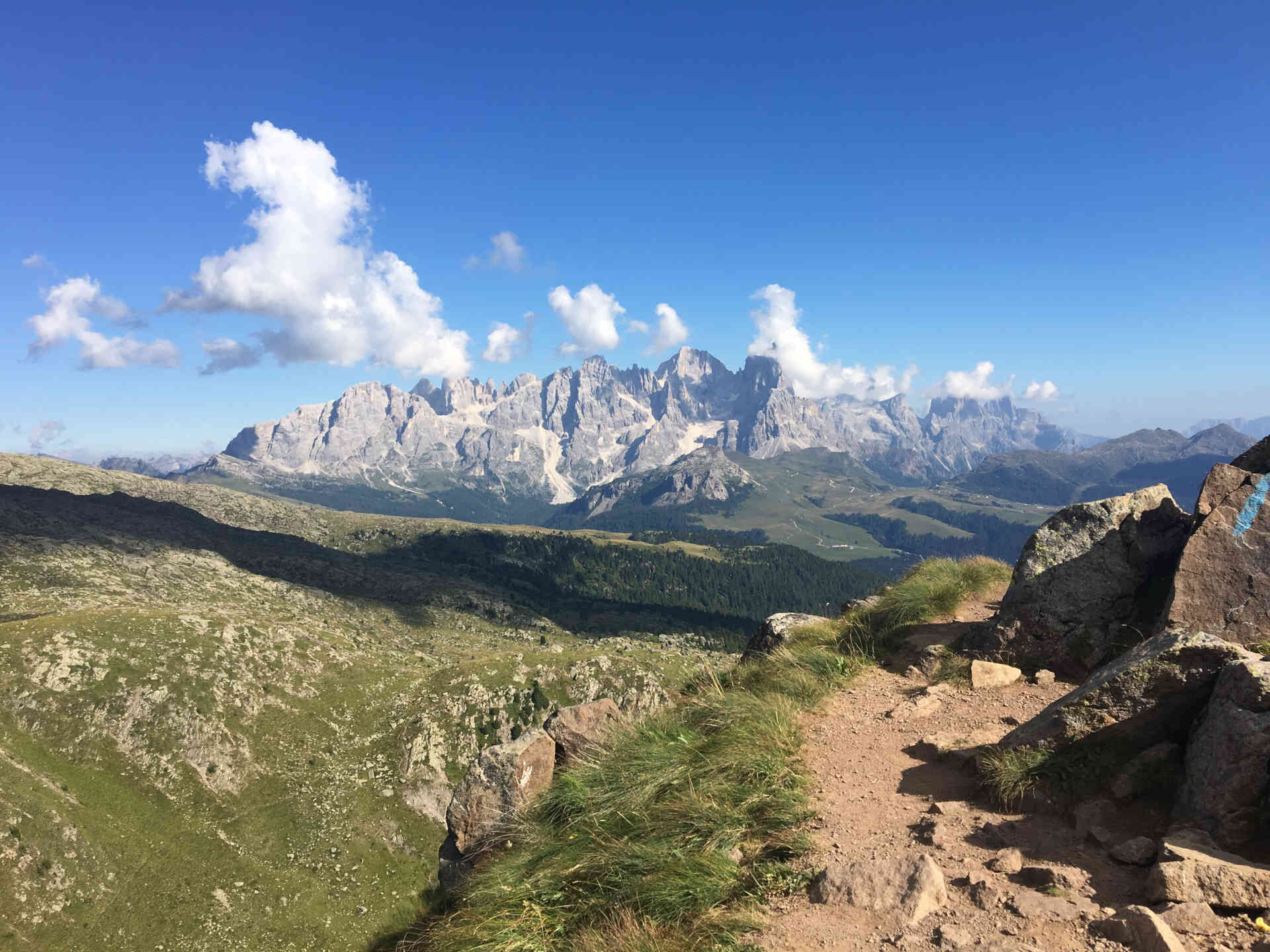
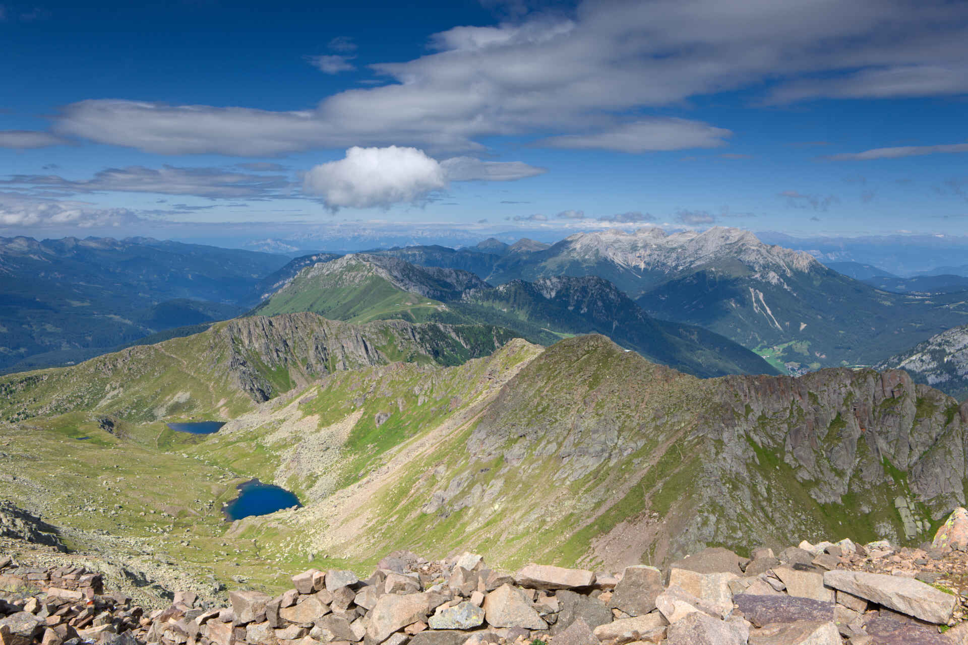
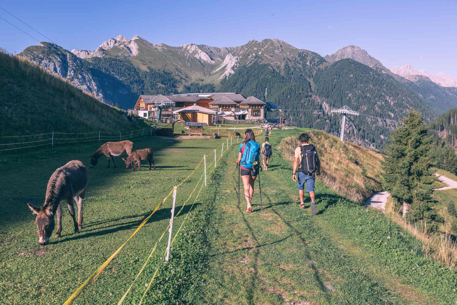
From "Le Cune", skirting the ski slope, walk path no. 614 down to Lusia Pass ("Pas de Lujia") and reach the namesake refuge. Here take path no. 633 leading to the Paneveggio-Pale di San Martino Natural Park, then walk along an easy track running along the ski slope "Lasté" to reach the top station of the chair lift (closed in summer). Turn right and get to the "Baic del Lasté" ("Lasté" huts, 2,339 m). The huts are always open and do provide shelter in case of bad weather. Follow the military mule track, still cobbled in some stretches, ascend the southern porphyritic face of "Cima Lasté" and reach "La Trincea" (the foxhole) at 2,428 m. Here the ruins of the First World War defensive walls are still visible. The military placement overlooks the lonely hollow of the Lusia Lakes, right below the porphyritic "Grònton" ridge. The paths goes down to the first of the two Lusia Lakes, natural biotopes. The Sandro Redolf bivouac is located near the lake, at an altitude of 2,333 m. Take path no. 633 ascending to "Bocche" peak ("Cima Bocche"; 2,745 m). Reach the awesome second lake walking for 20 minutes across the high altitude pastures along the stream "Rif de Lujia". Keep on walking for 20 minutes and reach "Bocche" Saddle ("Sforcela de Boce"). Look towards San Pellegrino and enjoy the breathtaking view of "Valacia", "Costabella" and "Cima Uomo" peaks. You can come back along the same path, and once you get to Lusia Pass ("Pas de Lujia") you can proceed along path no. 632 to "Valbona" cabin lift (intermediate station). You can also chose an alternative track and reach the "Valbona" cabin lift station ascending from the Sandro Redolf bivouac to "Lusia" Saddle ("Sforcela Lujia"; 2,363 m; starting point of the "Grònton" equipped path). Follow path no. 634 until the intersection with a forest road. Turn left and follow the indication of path no. 625 to "Malga Colvere", La Rezila Refuge and "Valbona" cabin lift. Once you get to "La Rezila", you can keep walking on the forest road leading to the starting point at "Ronchi".
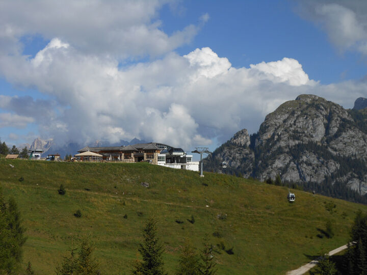
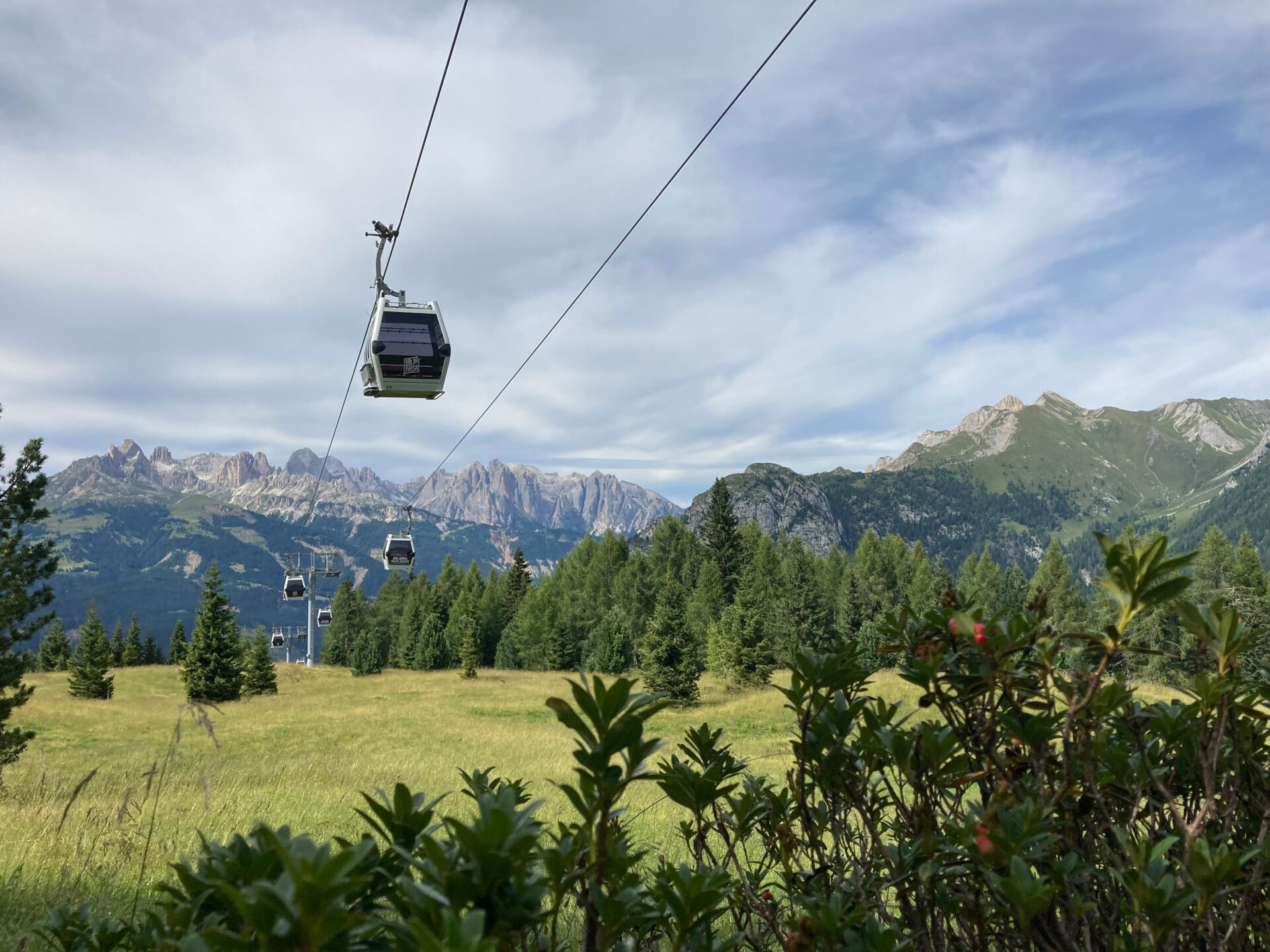
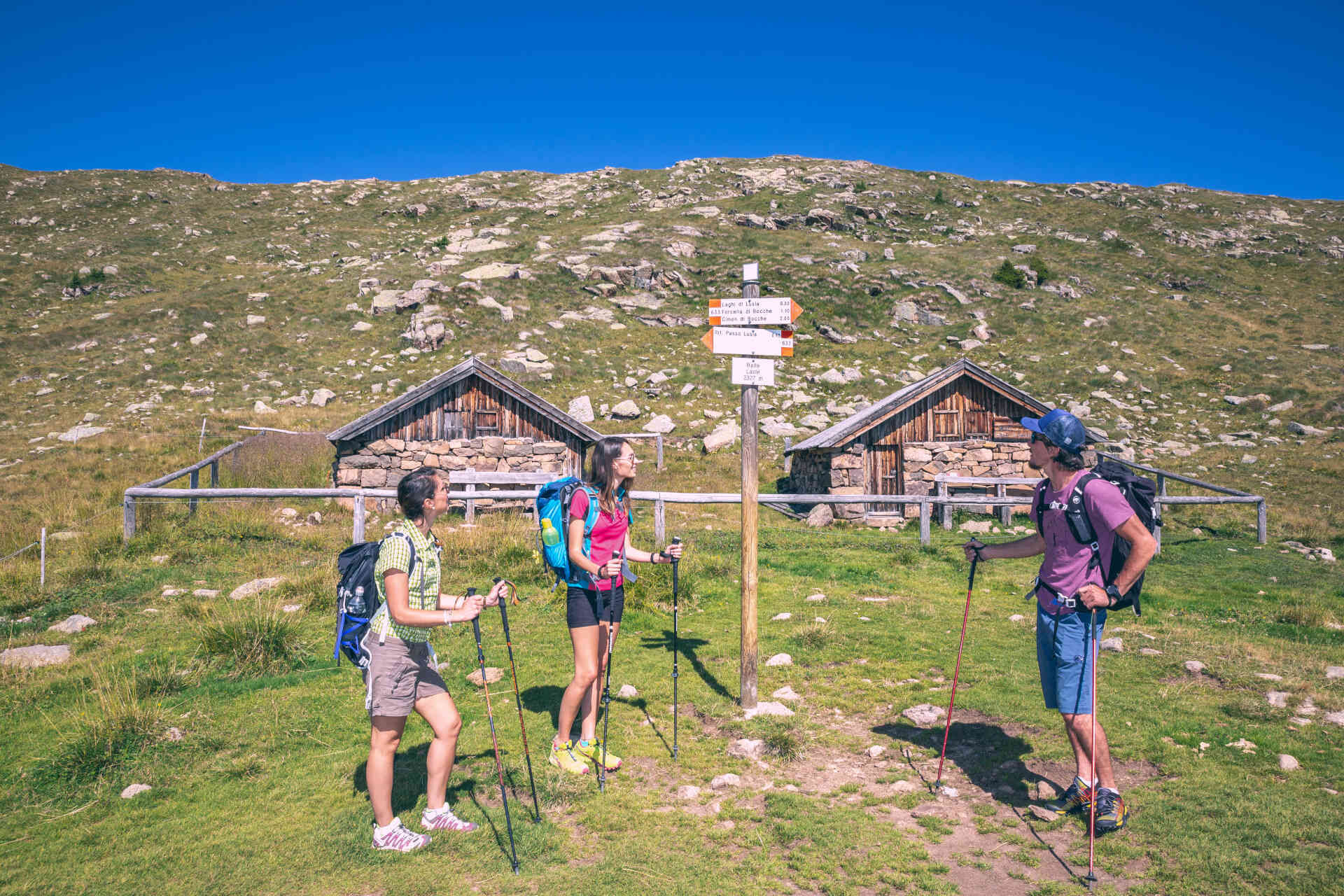
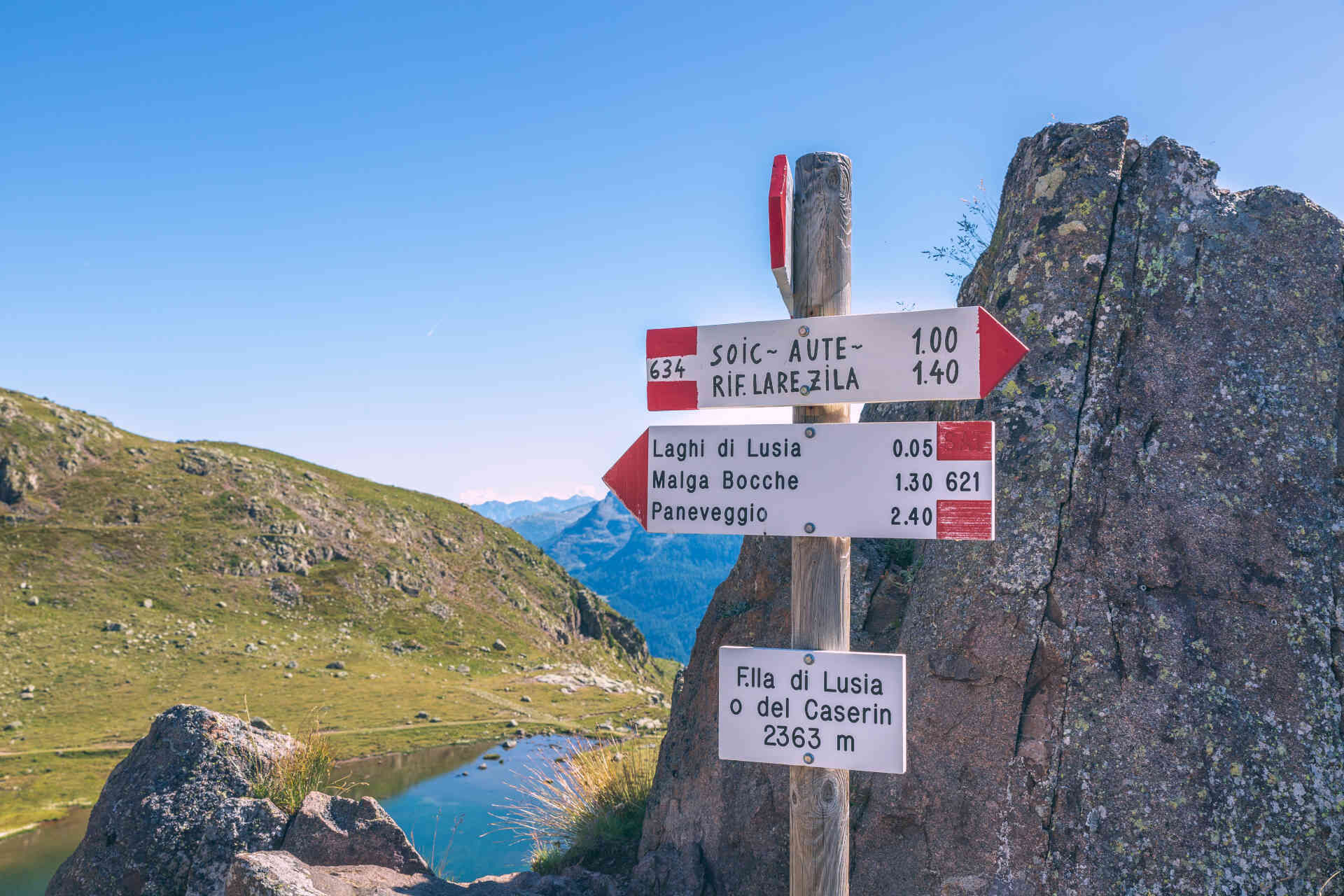
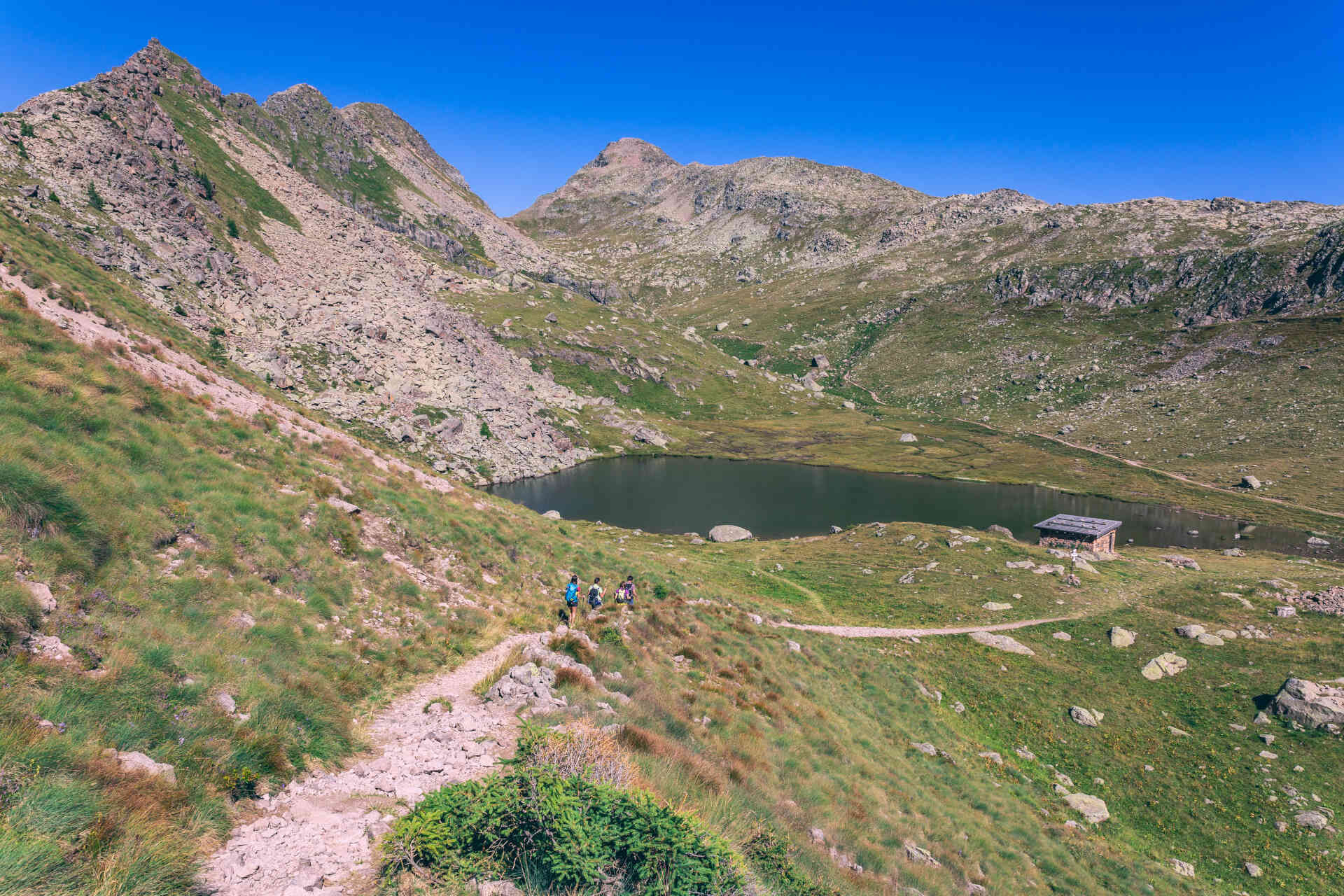
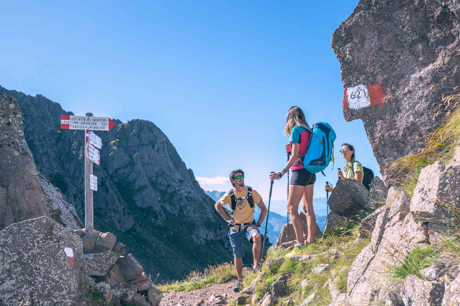
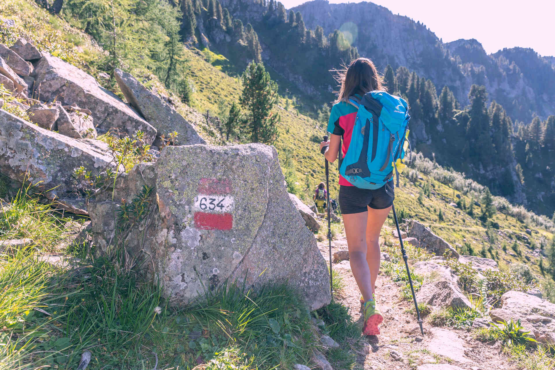
You can come back along the same path, and once you get to Lusia Pass you can proceed along path no. 632 to Valbona cabin lift (intermediate station).You can also chose an alternative track and reach "Valbona" cableway station ascending from the bivouac Sandro Redolf to "Sforcela Lujia" (2,363 m, 10 mins - starting point of "Grònton" via ferrata). Follow path no. 634 until the intersection with a forest road (1 hour). Turn left and follow the indication of path no. 625 to Malga Colvere, Refuge La Rezila and "Valbona" cabin lift (1,5 hours). Once you get to "La Rezila", you can keep walking on the forest road leading to the starting point at "I Ronc" ("Ronchi").The refuges La Rezila and Lusia Pass are the only refreshment points along the route.
Ano
Wear adequate clothing, footwear and equipment suitable for the length and grade of difficulty of trail to be taken. Always try to be self-sufficient and carry with you the necessary to face possible emergency situations and a first aid kit.
Plan your excursion according to your skills and the weather.
Walk slowly, enjoy the landscape and the silence.
Inform somebody about your itinerary, return time and possible changes.
Rely on professionals (Alpine and local guides).
Help those in need. Call 112 only in case of real necessity.
Make sure you have suitable clothes and equipment + some water and snacks.
Respect the environment around you and its inhabitants. Bring back your rubbish.
Follow the marked trails avoiding those in the bike park.
To protect the wonders of nature, leave everything in its place.
Bring your pet along, but keep it on a leash
Other accesses to the Val di Fassa
from the A27 (Venice) motorway, exit Belluno/Ponte nelle Alpi, S.S. 203 for Agordo and S.P. 346 Passo San Pellegrino - Moena (Val di Fassa). From the Moena bypass towards Canazei from the A27 (Venice) motorway, exit Belluno/Ponte nelle Alpi, S.S. 203 for Agordo/Alleghe/Rocca Pietore. S.P. 641 Passo Fedaia - Canazei coming from Arabba, S.S. 48 Passo Pordoi - Canazei from Val Gardena, S.S. 242 Passo Sella - CanazeiPublic transport lines SAD - Val di Fassa:â¯
line no. 180 Vigo di Fassa - Carezza Pass - Bolzano line no. 471 Dolomites passes (Sella Pass, Gardena Pass, Campolongo Pass, Pordoi Pass, Fedaia Pass). Service available in summer onlyFree parking at the valley station of the cabin lift.
Strèda Roma, 36
38032 Canazei (TN)
Phone +39 0462 609500
info@fassa.com
www.fassa.com
Important: as trail no. 625 is currently closed, hikers must return from the Lusia Lakes along the same route taken on the outward journey.
Oblíbené prohlídky v okolí
-
4.8
Santnerpass Klettersteig
středníVia ferrata 8.29 km -
4.9
Torre di Pisa mountain hut
středníTuristika 9.09 km -
5.0
Ciampedie - Gardeccia - Refuges Vajolet and Preuss - Refuge Re Alberto I - Gardeccia - Ciampedie
heavyTuristika 11.8 km -
4.7
Passo Costalunga - Sella del Ciampaz
středníTuristika 8.35 km -
5.0
Ciampedie - Gardeccia - Principe Pass - Antermoia Refuge - Val Duron - Campitello
heavyTuristika 18.7 km -
4.7
Stage 1 Dolomiti Trek King in autumn - Catinaccio
heavyTuristika 15.3 km -
5.0
Latemar Umrundung - die Kurze und Bequeme
středníTuristika 12.1 km -
4.5
Kölner Hütte - Hirzelsteig - Rotwandhütte - Baita Tre - Karerpass
středníTuristika 9.56 km -
4.4
Cavallazza Peak
středníTuristika 7.82 km -
5.0
Rosengarten: Cigoladepass und Fassaner Höhenweg
středníTuristika 15.6 km
Pěší turistika a stopování


Nenechte si ujít nabídky a inspiraci pro vaši příští dovolenou
Vaše e-mailová adresa byl přidán do poštovního seznamu.