


Canazei - Basaltic Waterfalls - Val Salei - Col Rodella - Campitello


Find the church of Saint Florian and the square of the same name in the old centre of Canazei. Take "Strèda dò Ruf de Antermont", and go past the old sawmill. Then cross the stream "Ruf de Antermont" by...
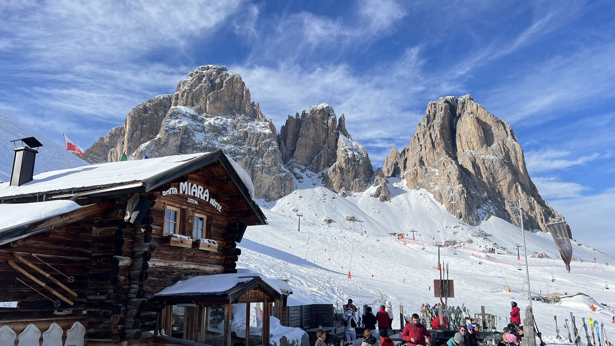
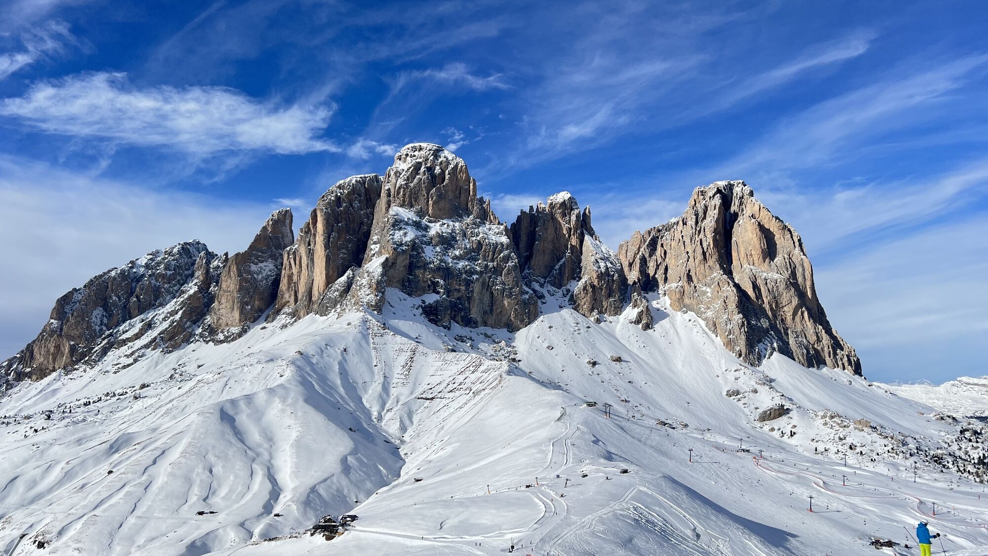
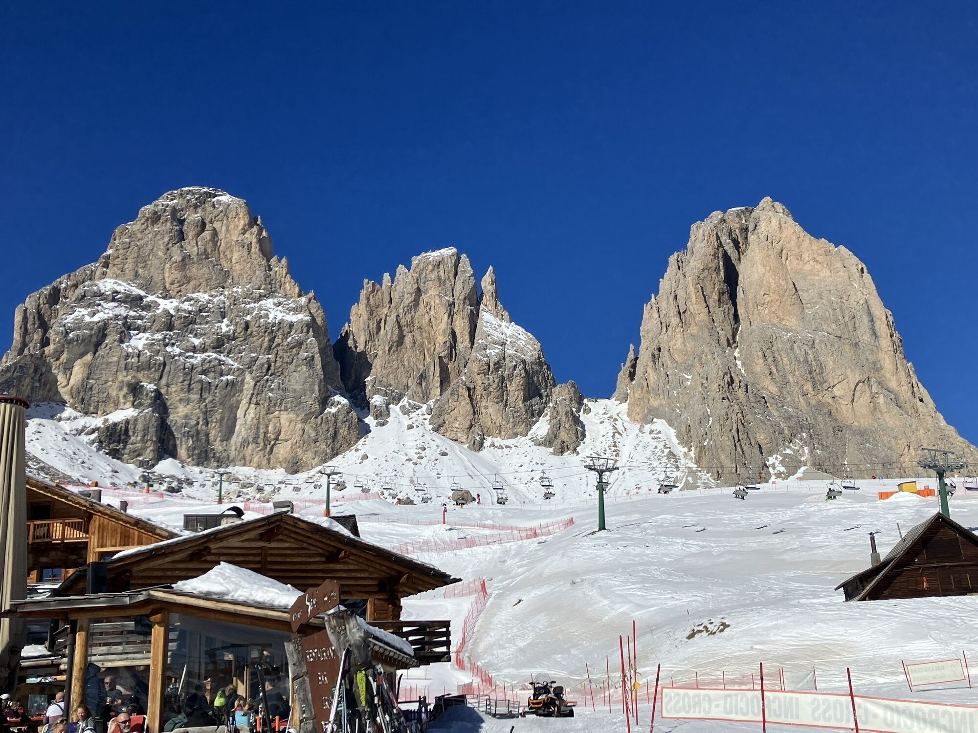
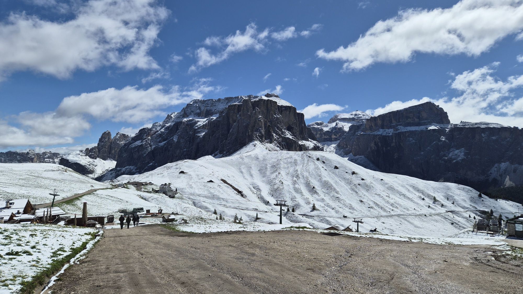
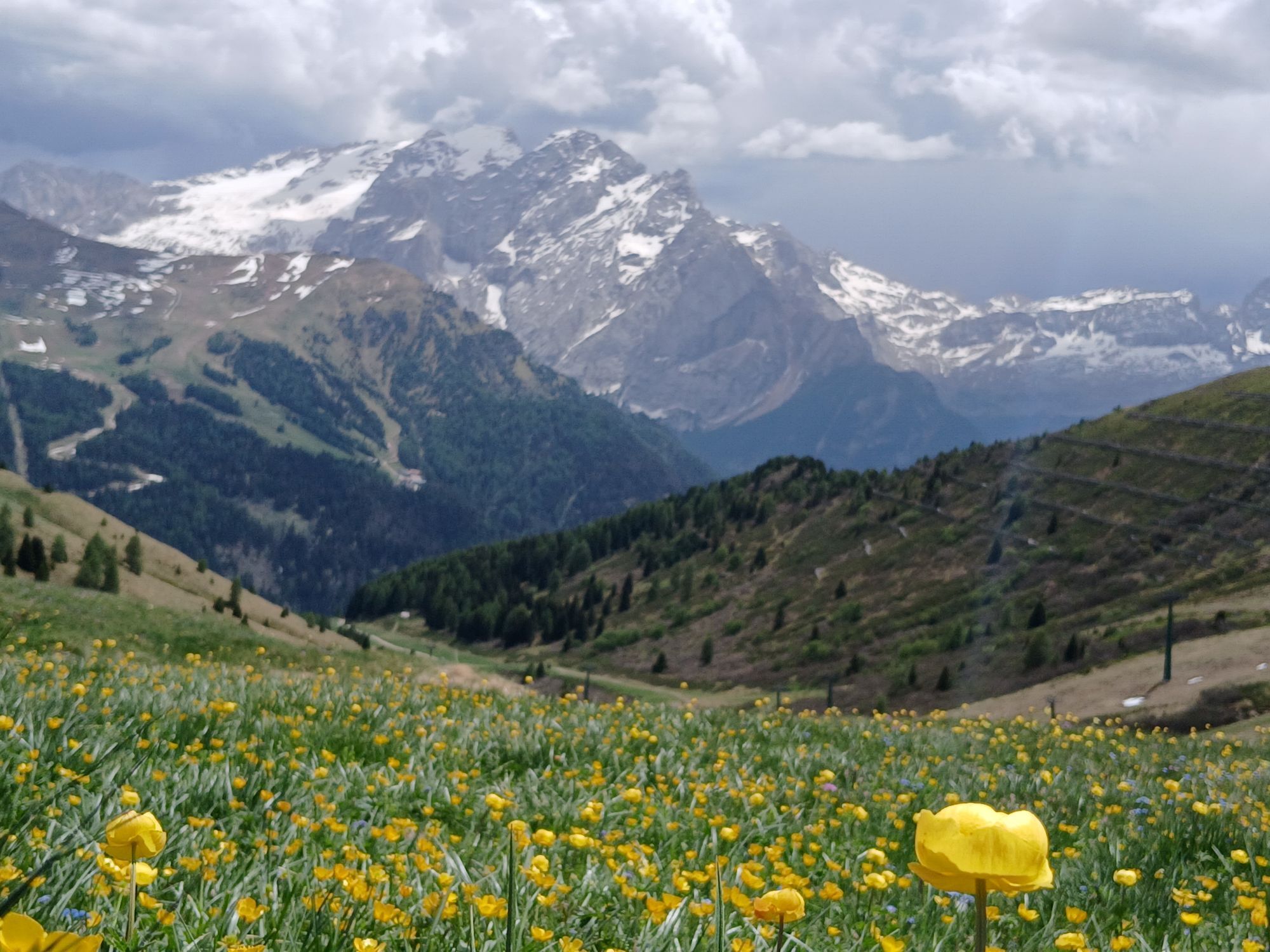
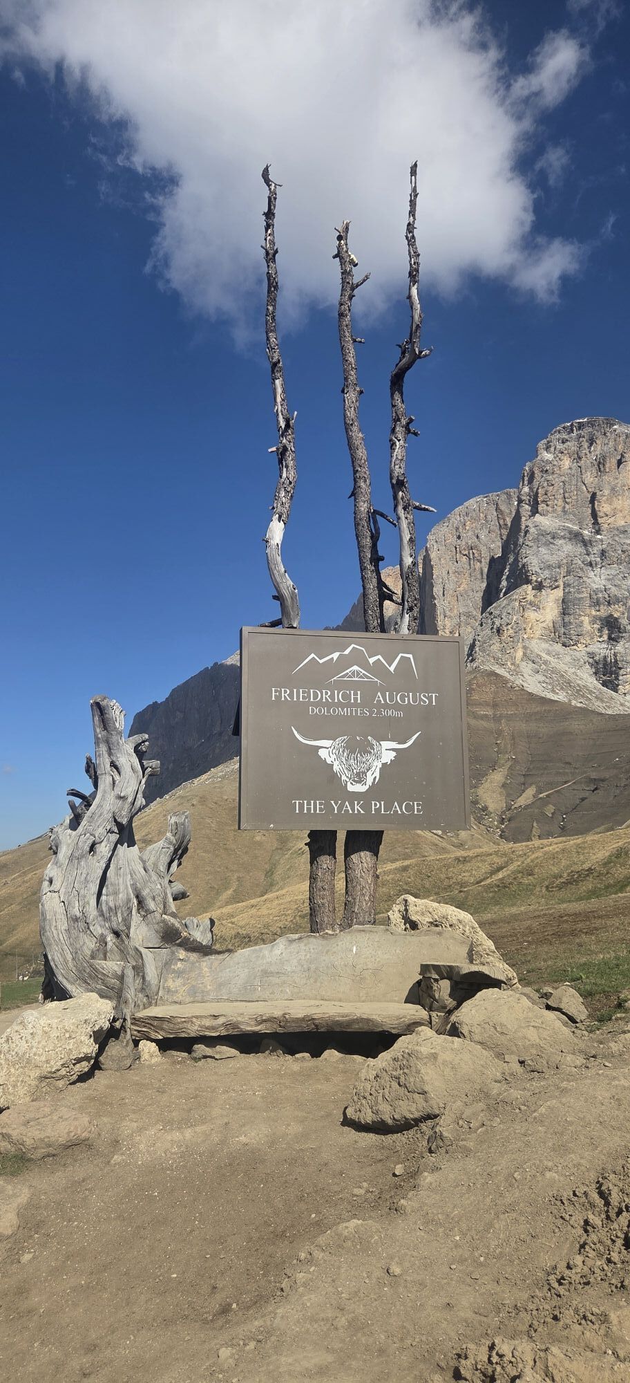
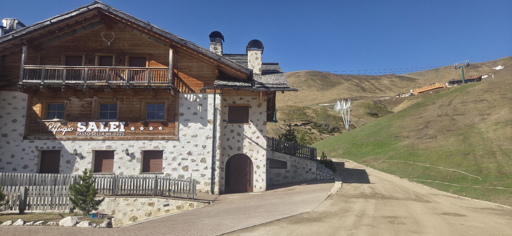
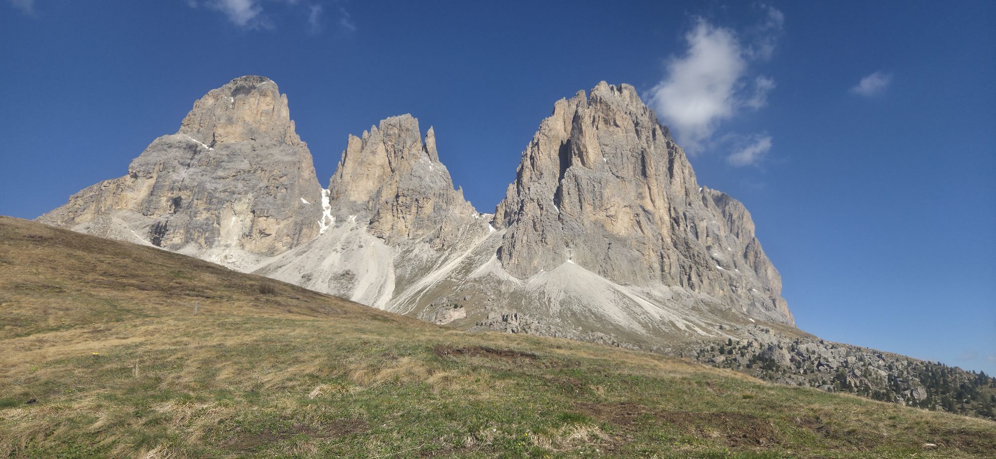
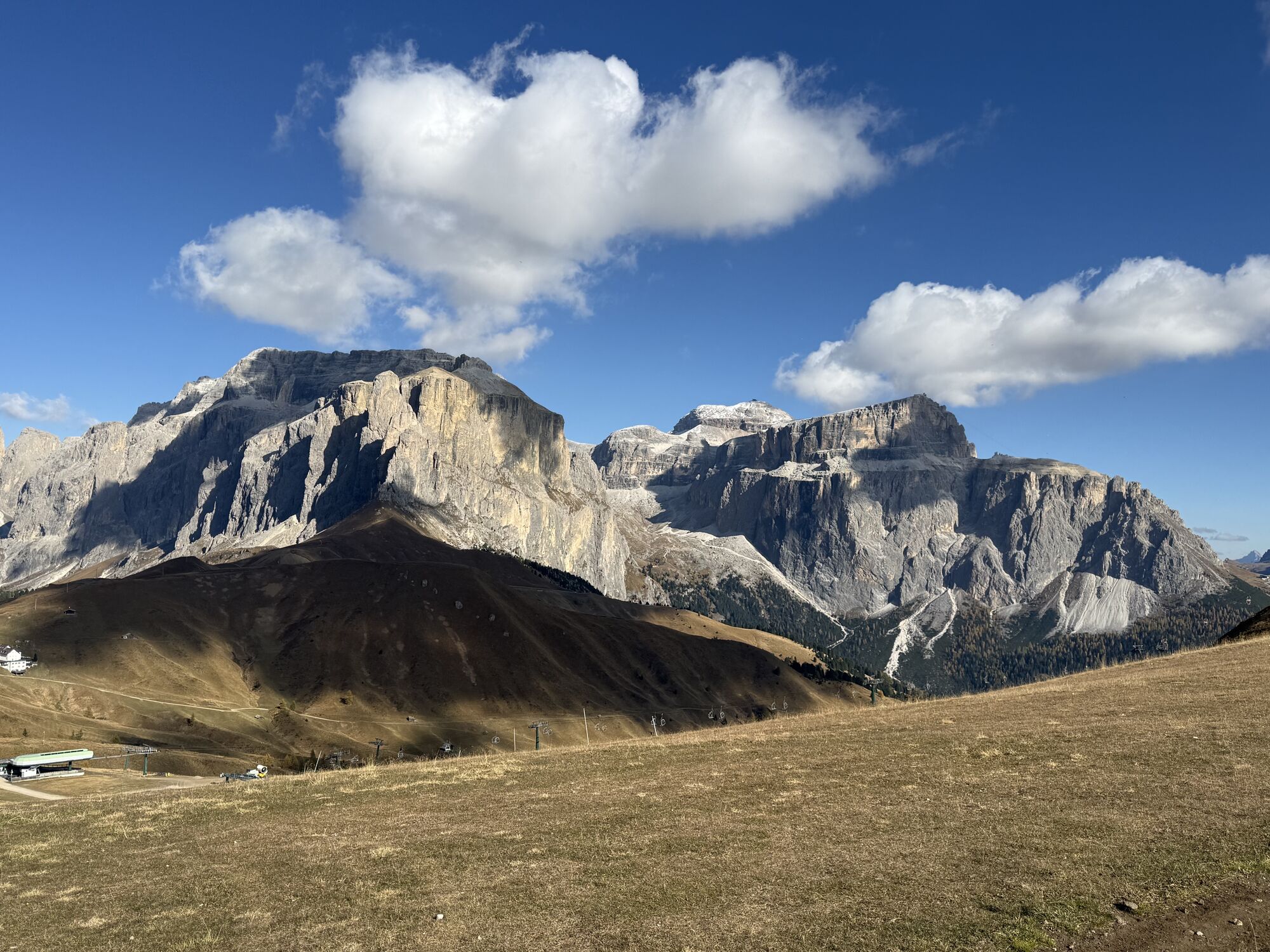
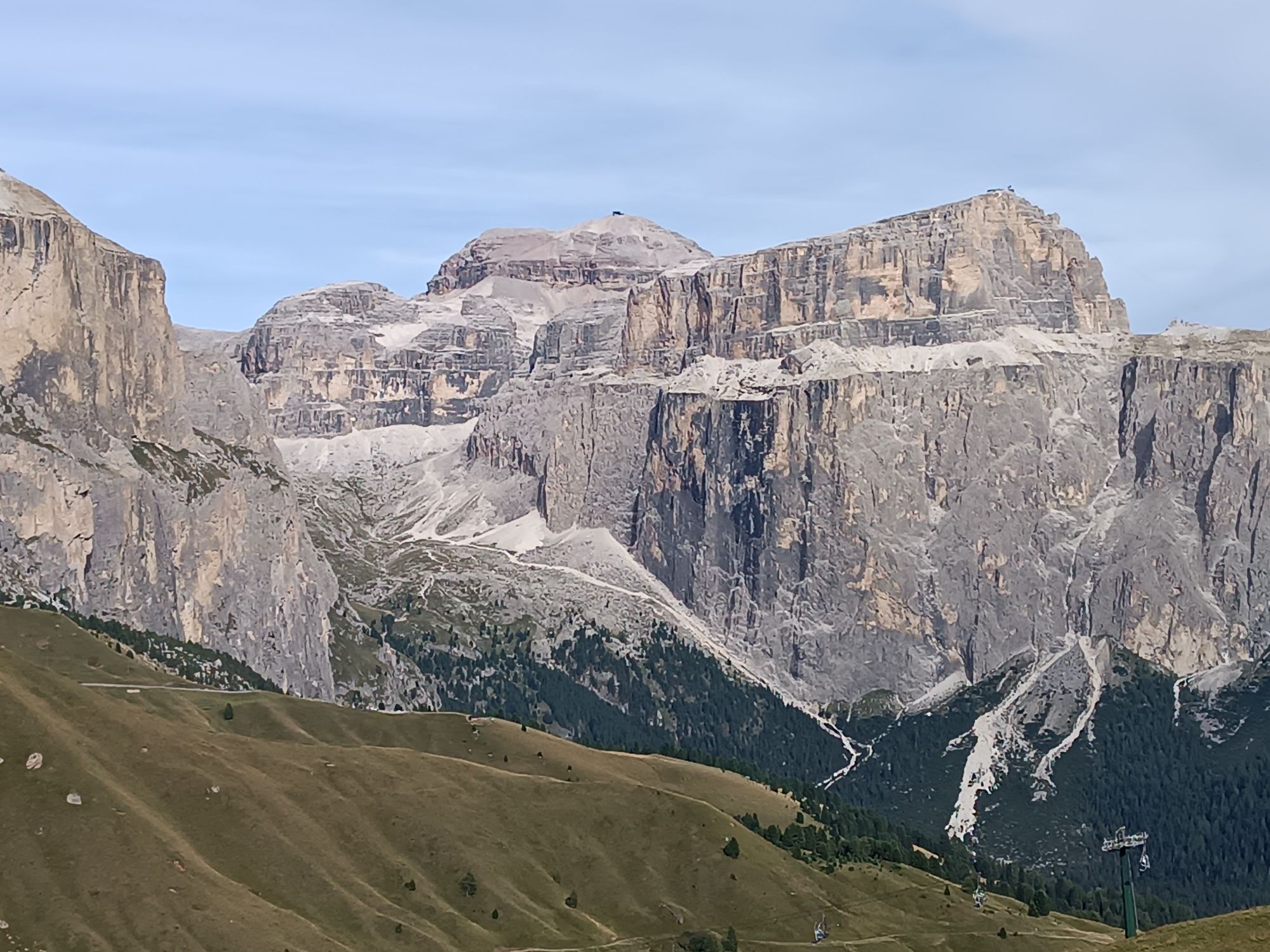
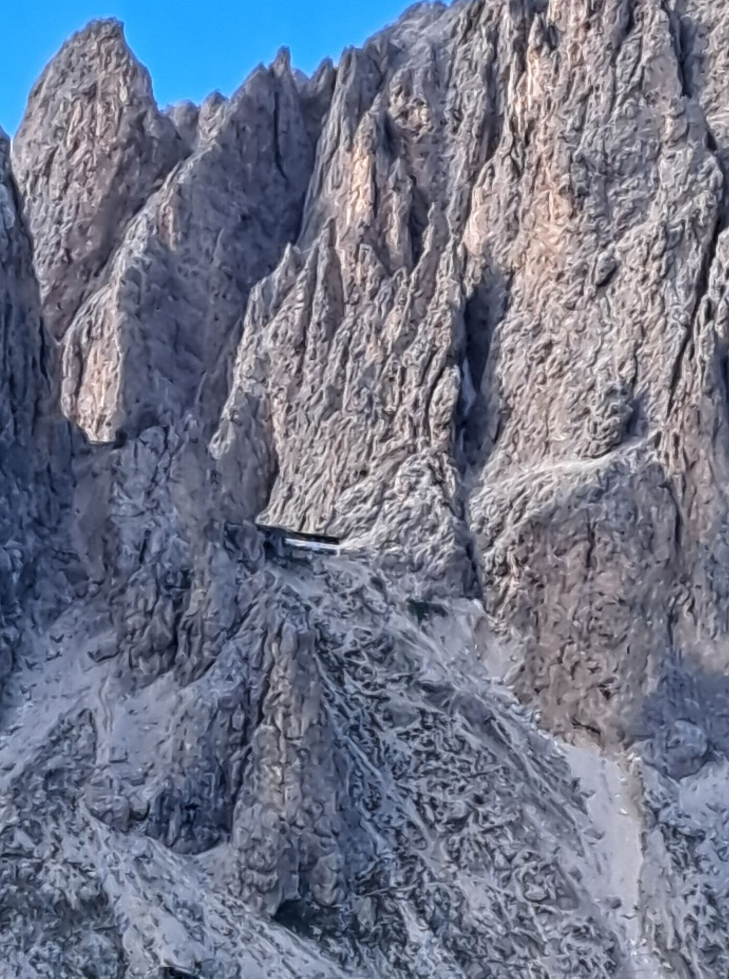
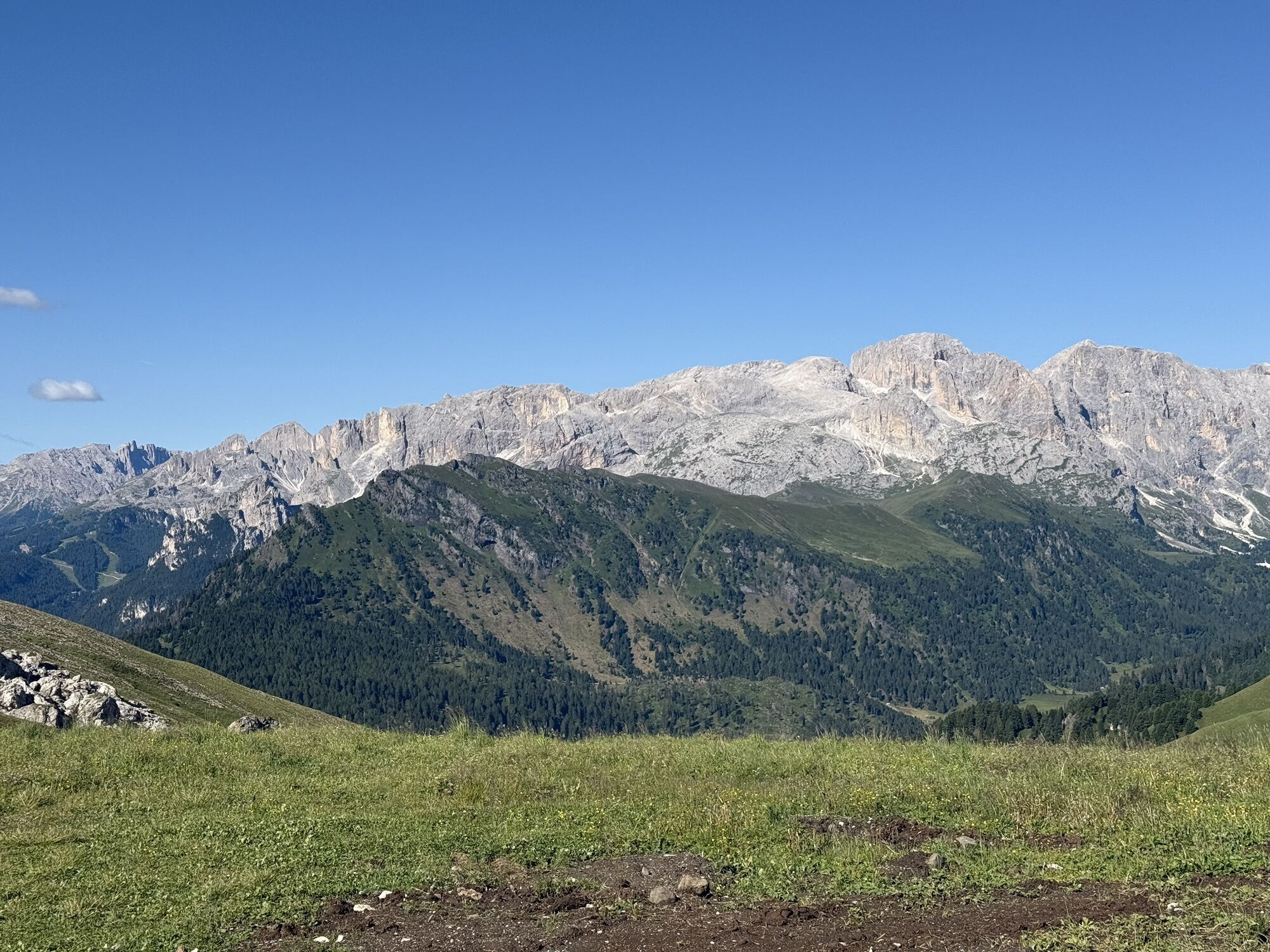
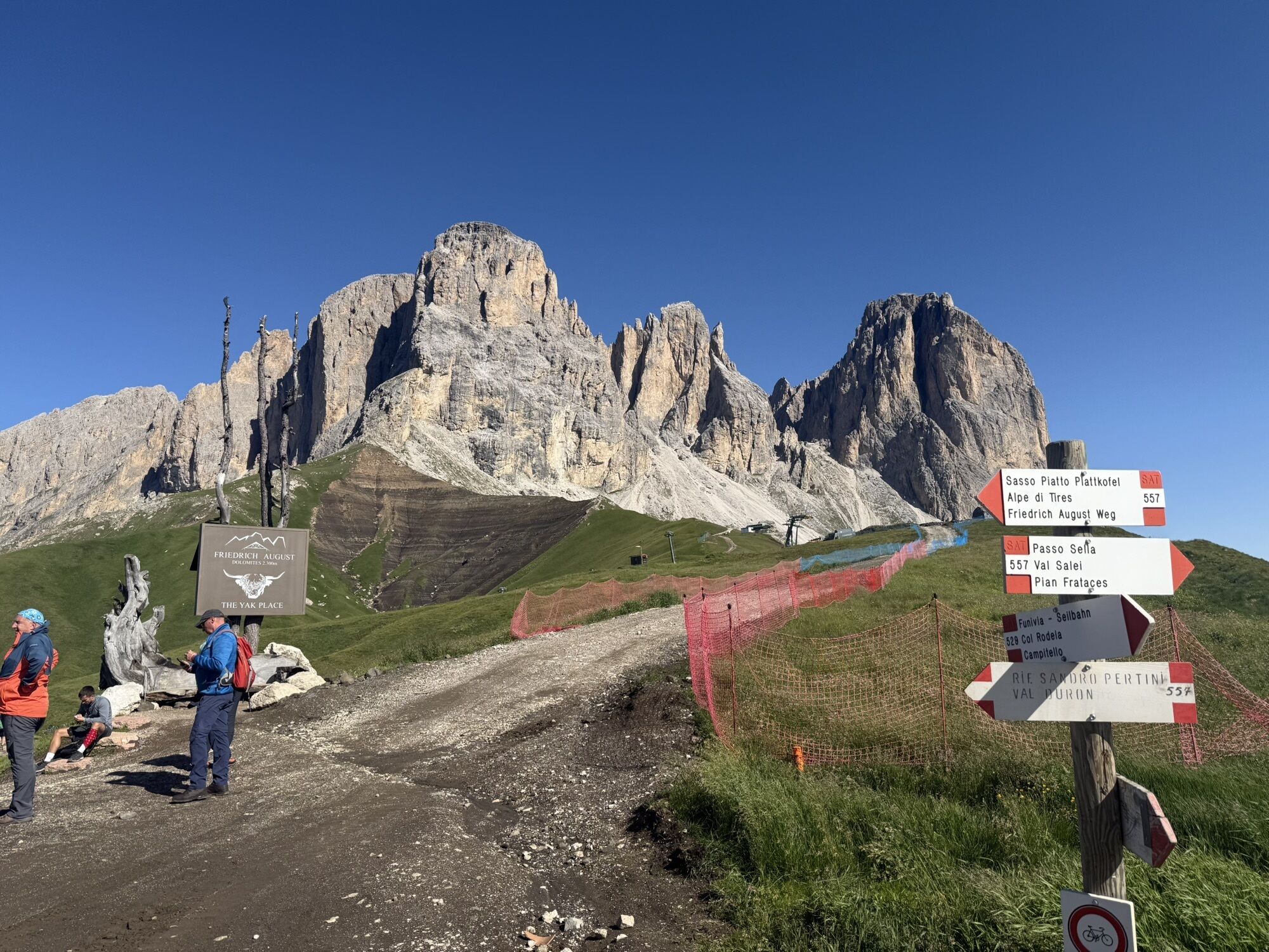
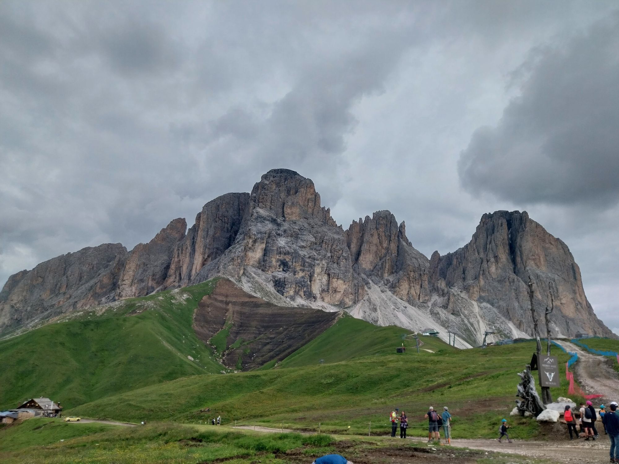
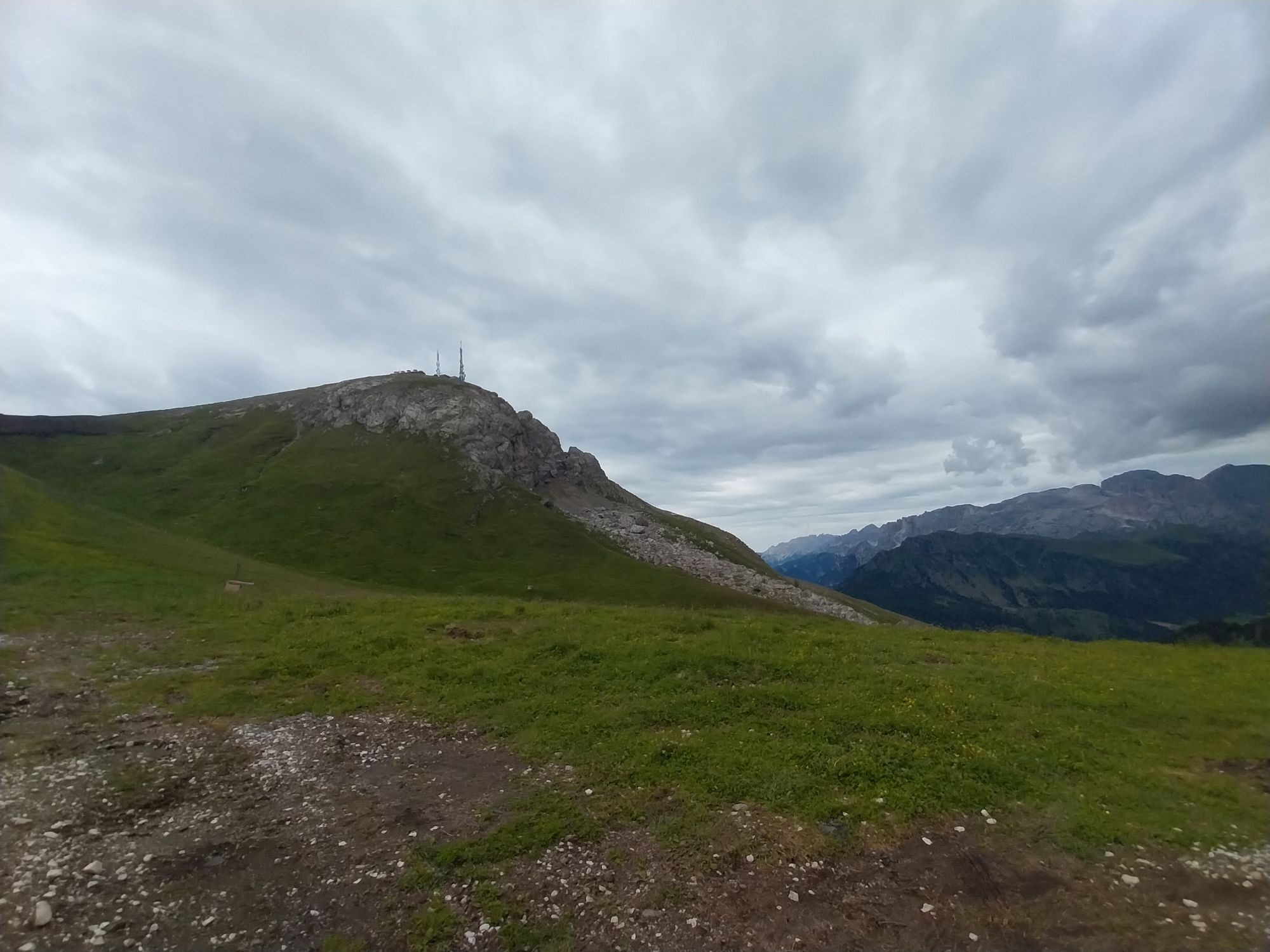
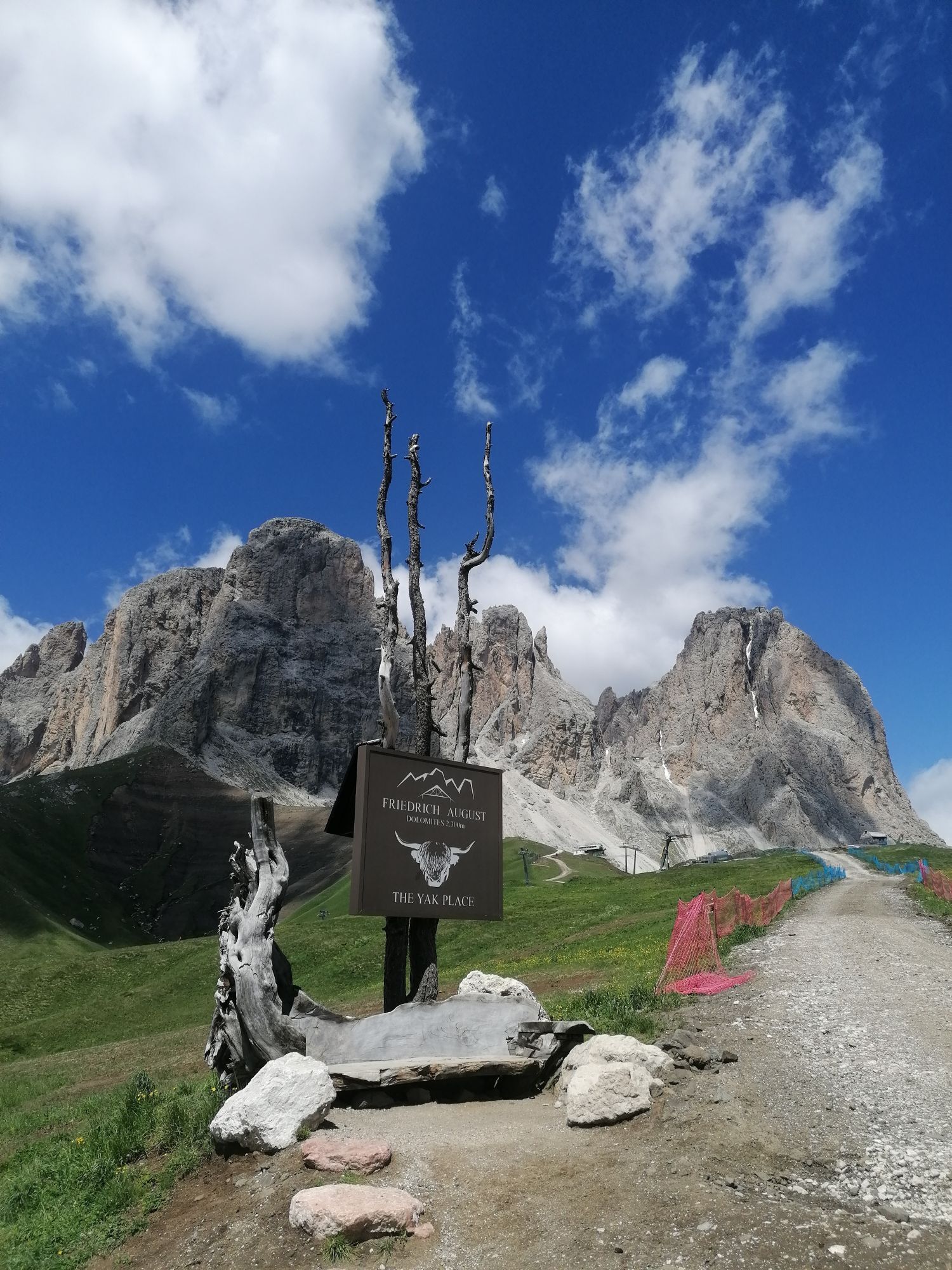
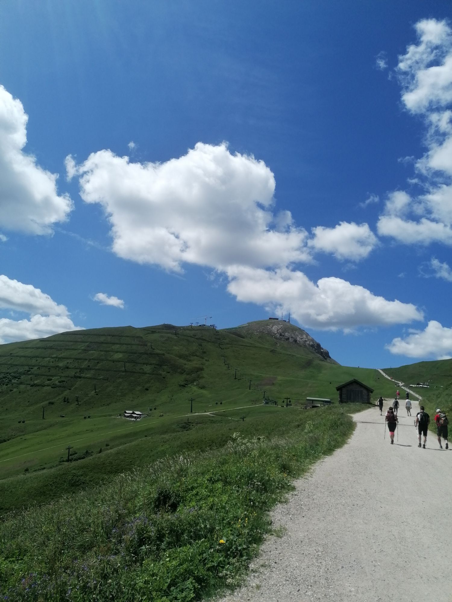
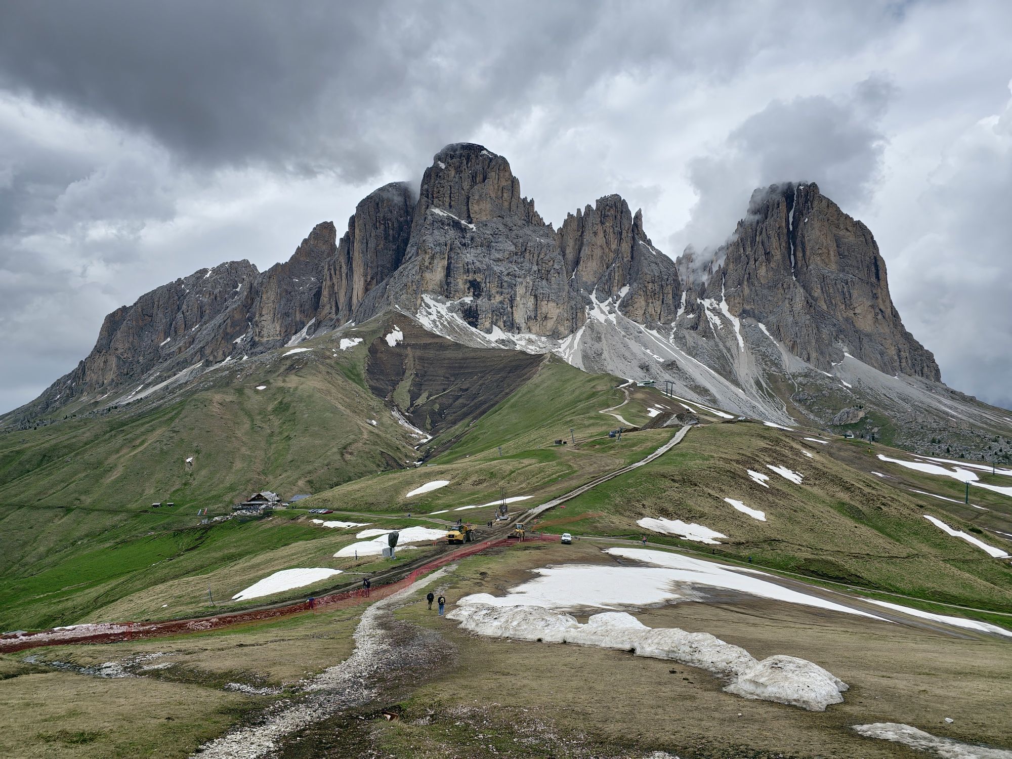
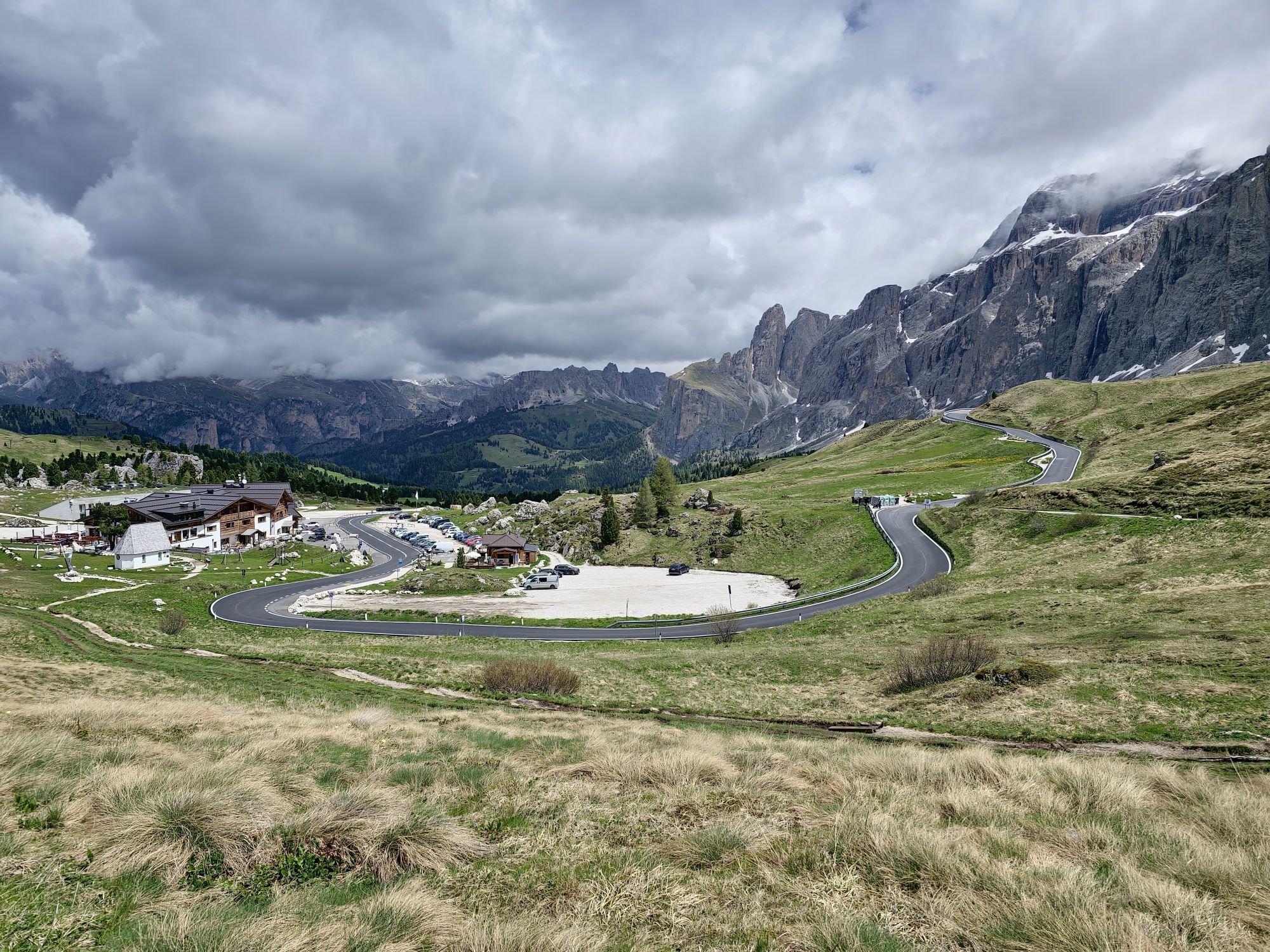
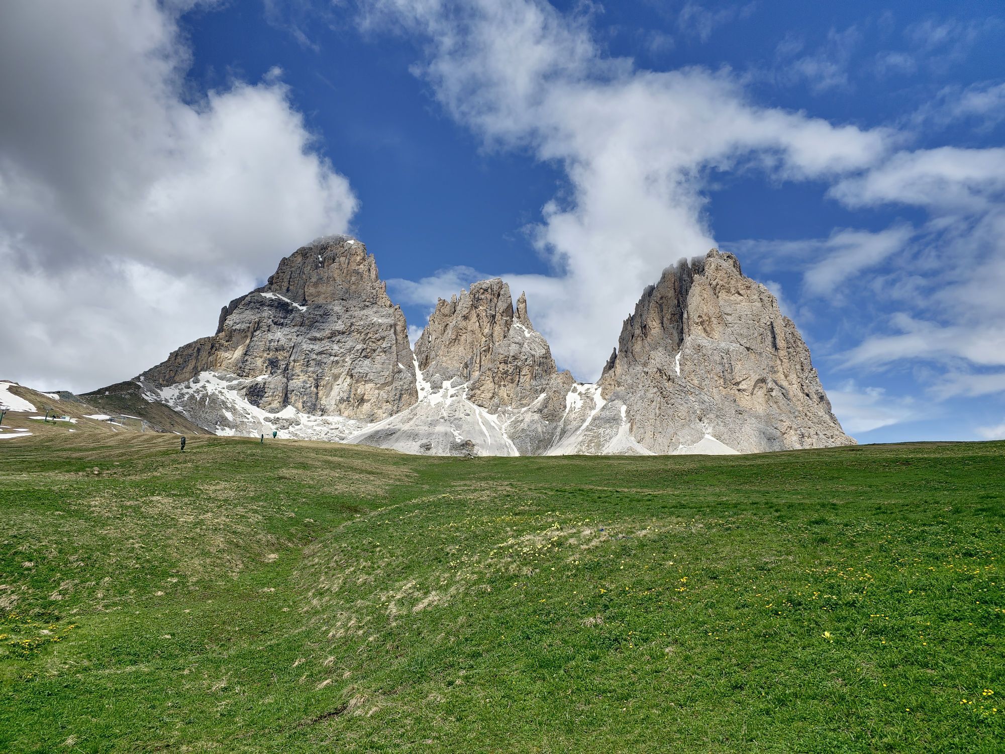
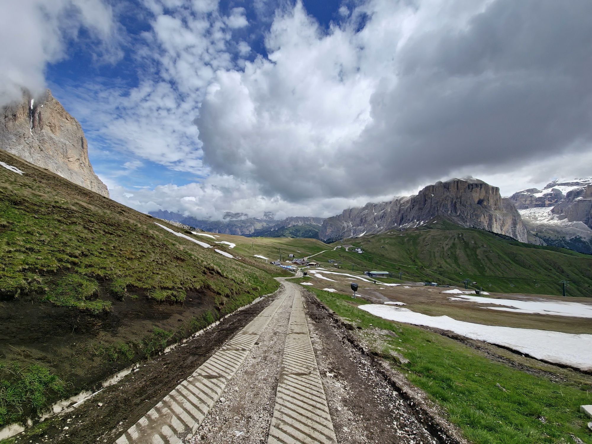
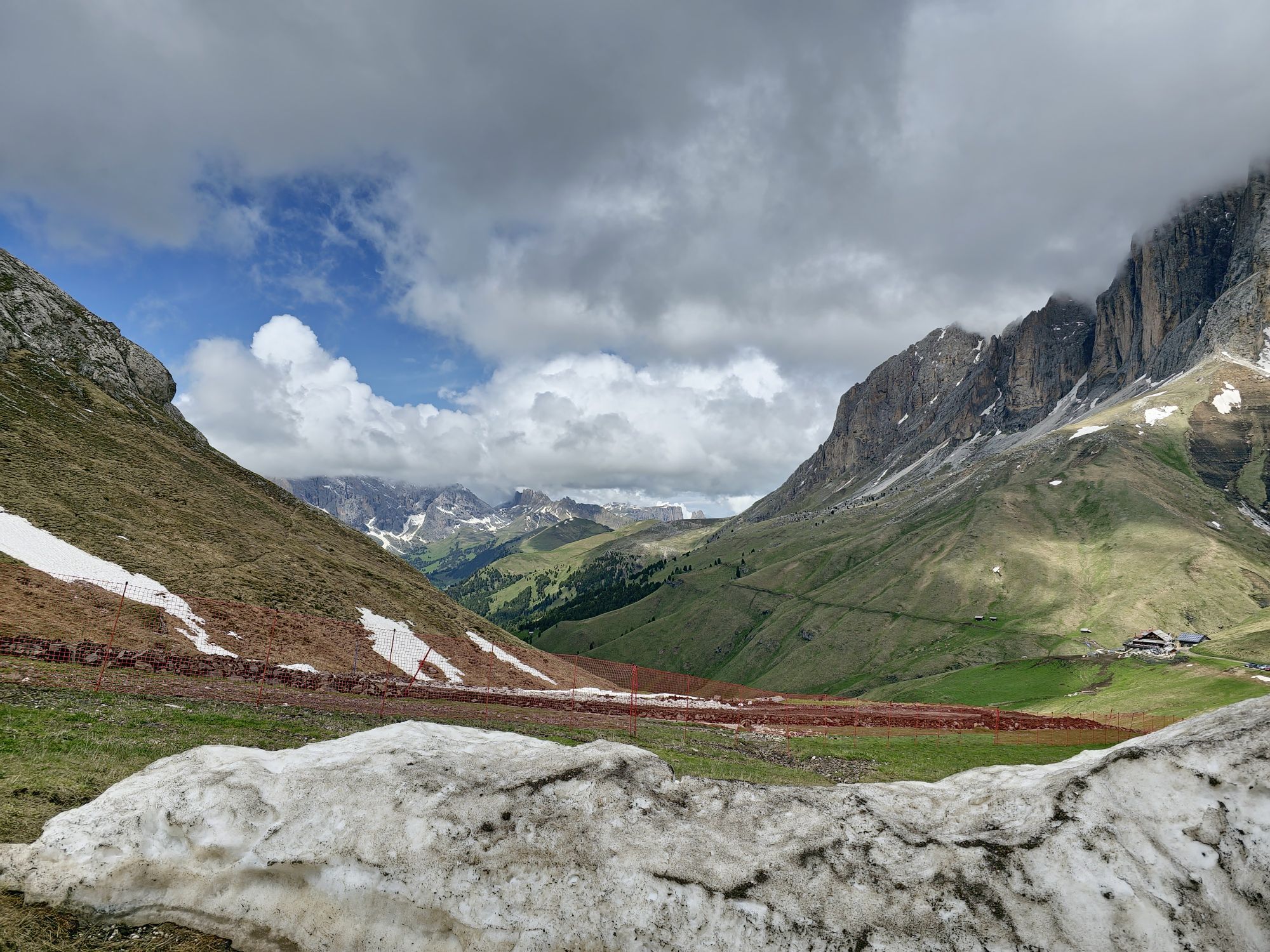
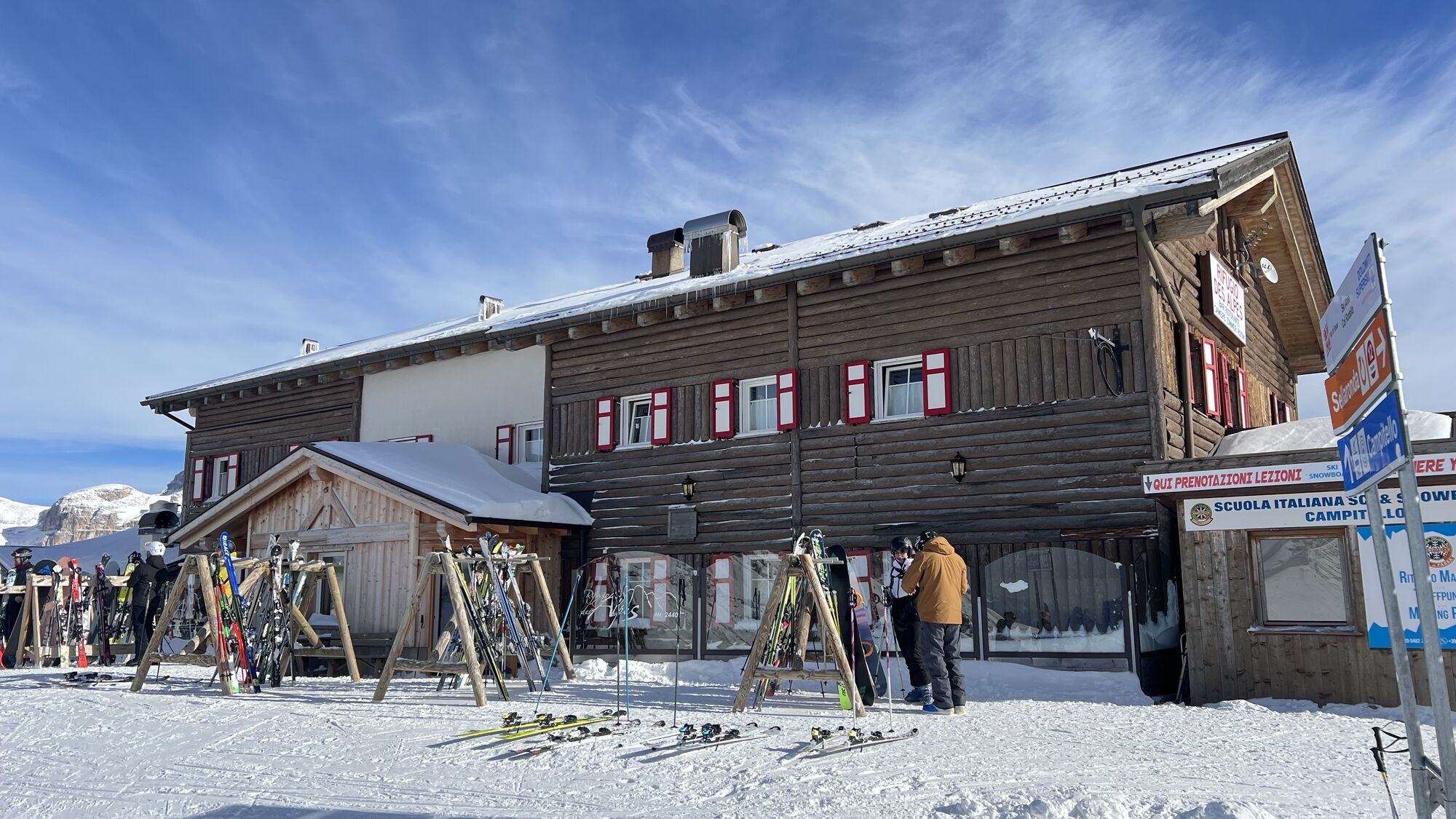
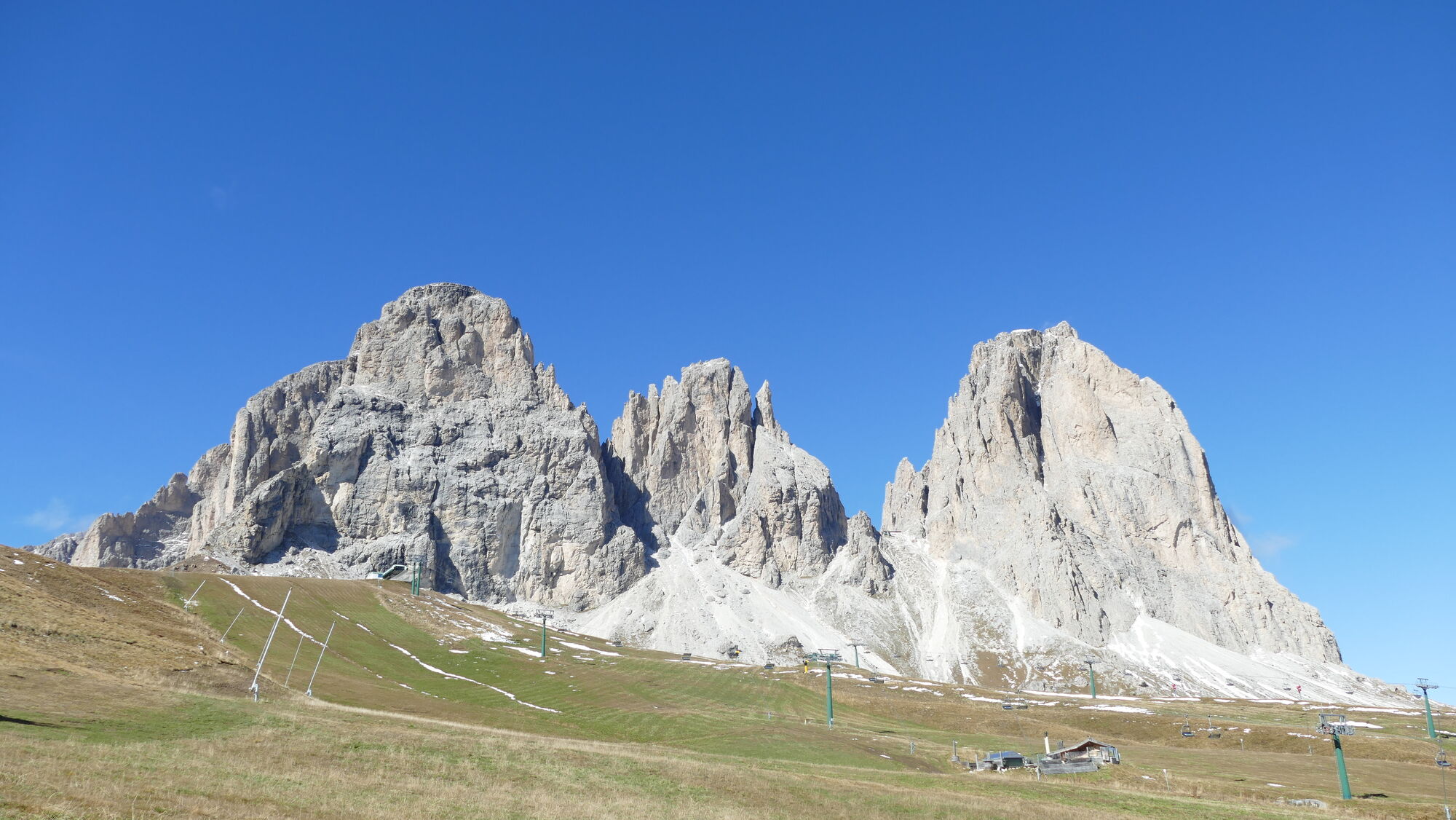
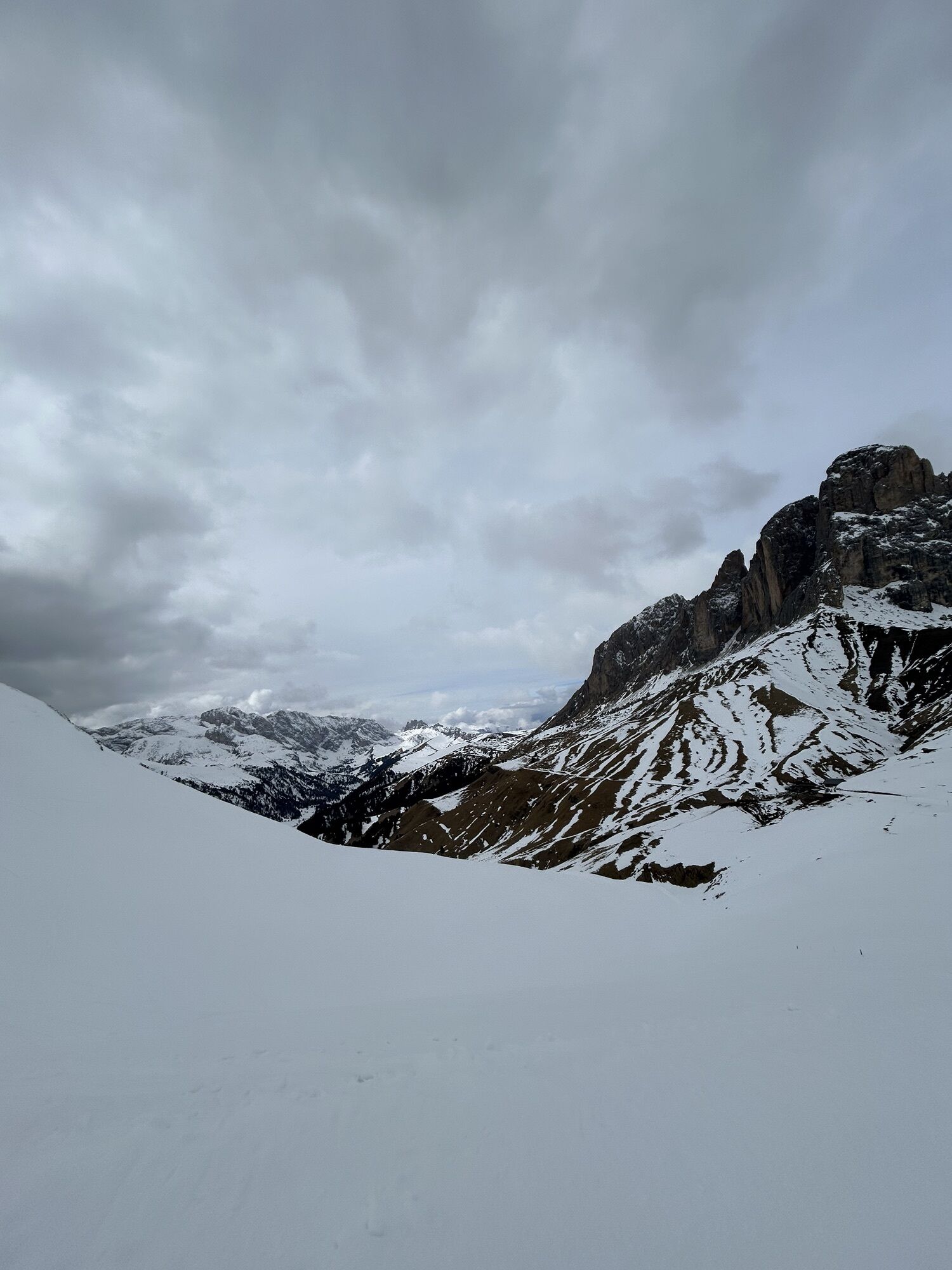
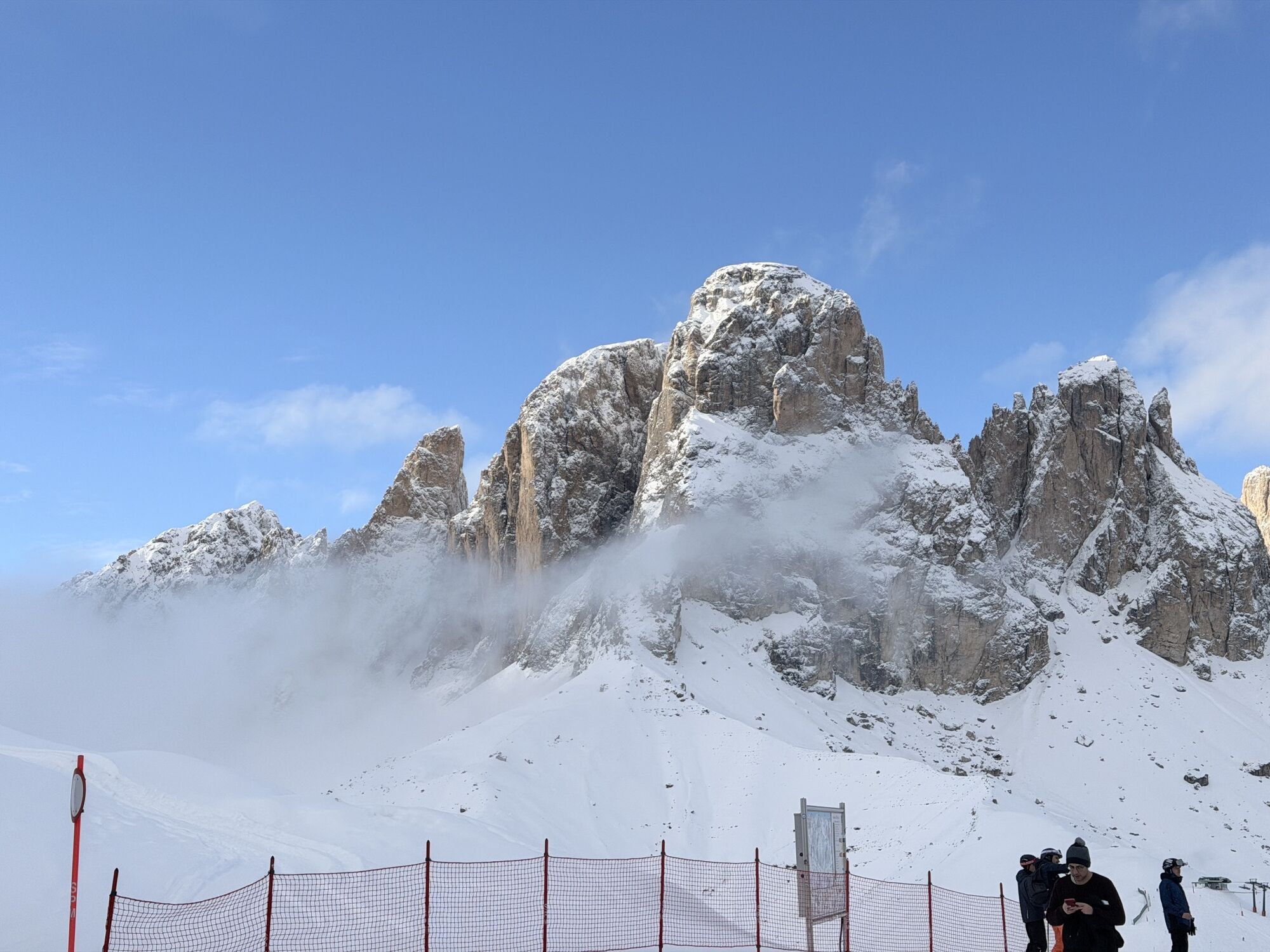
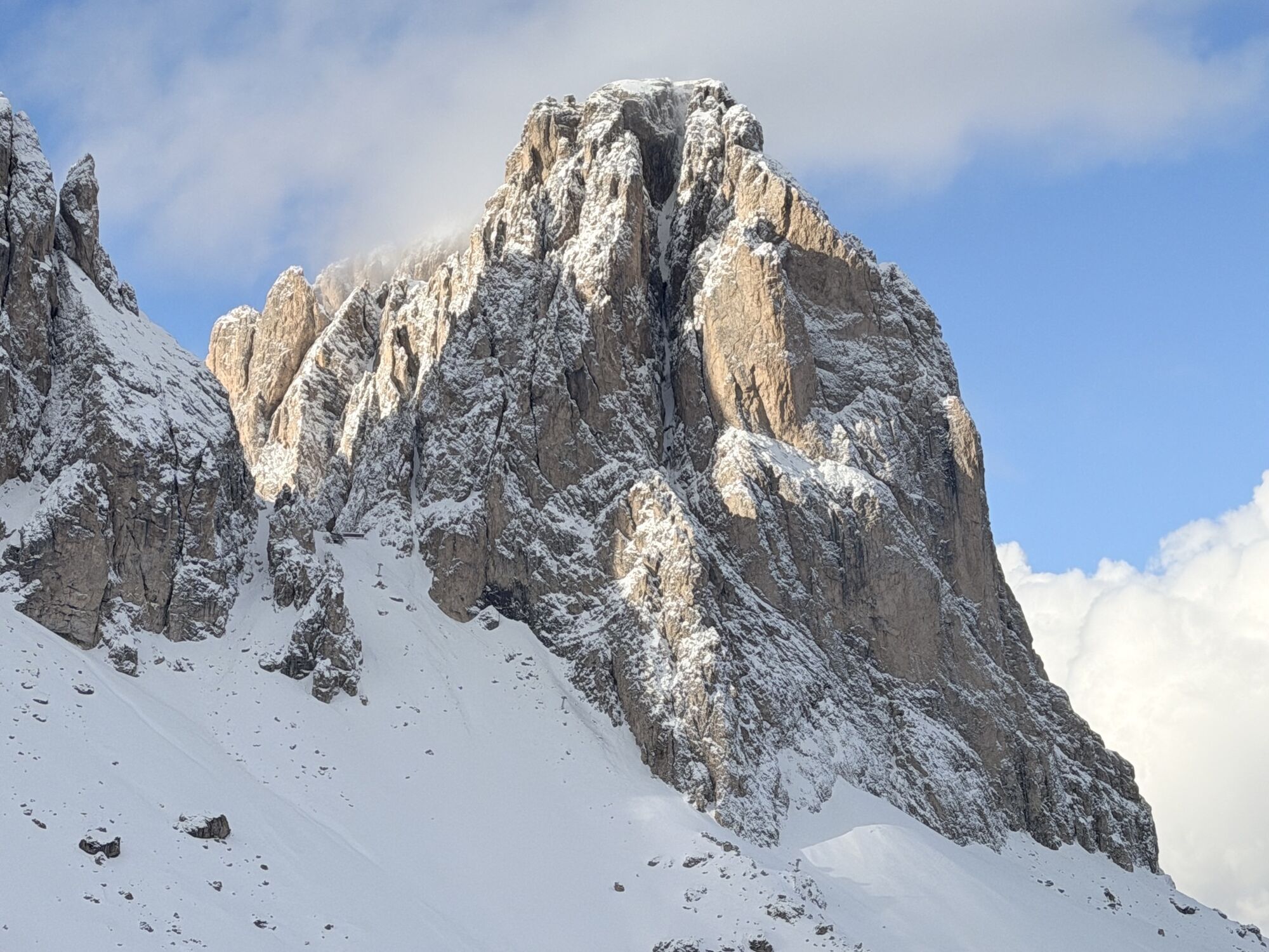
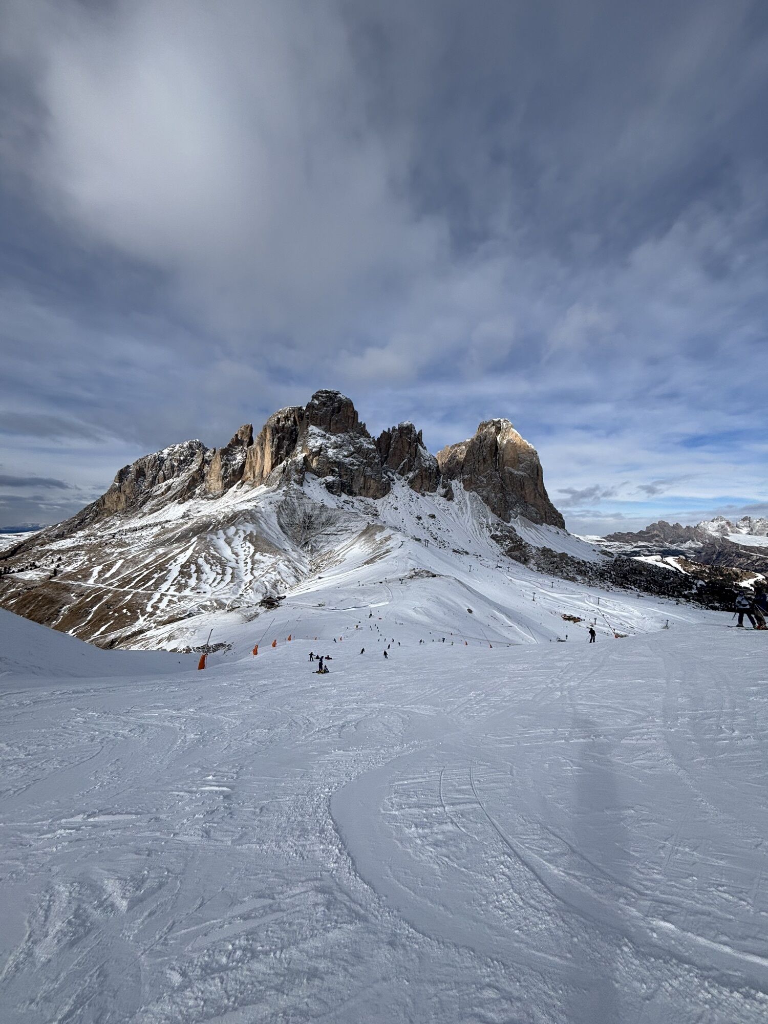
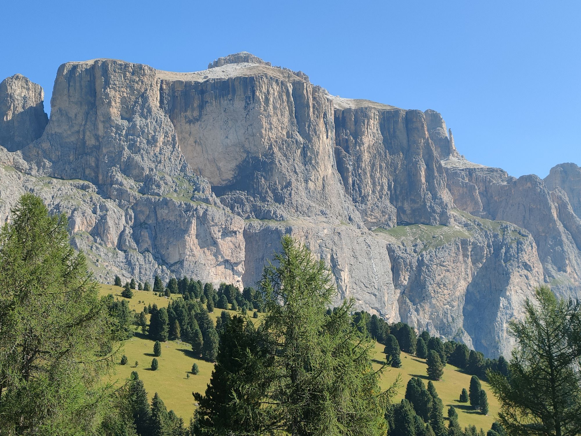
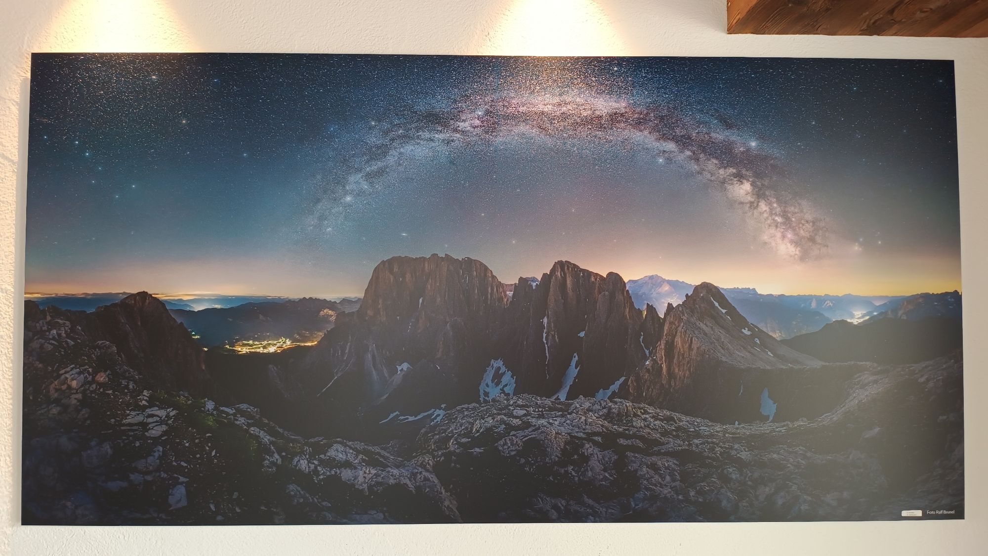
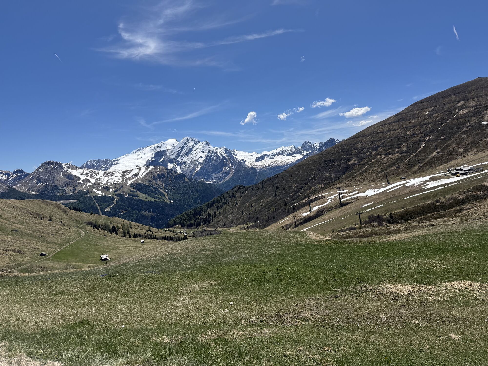
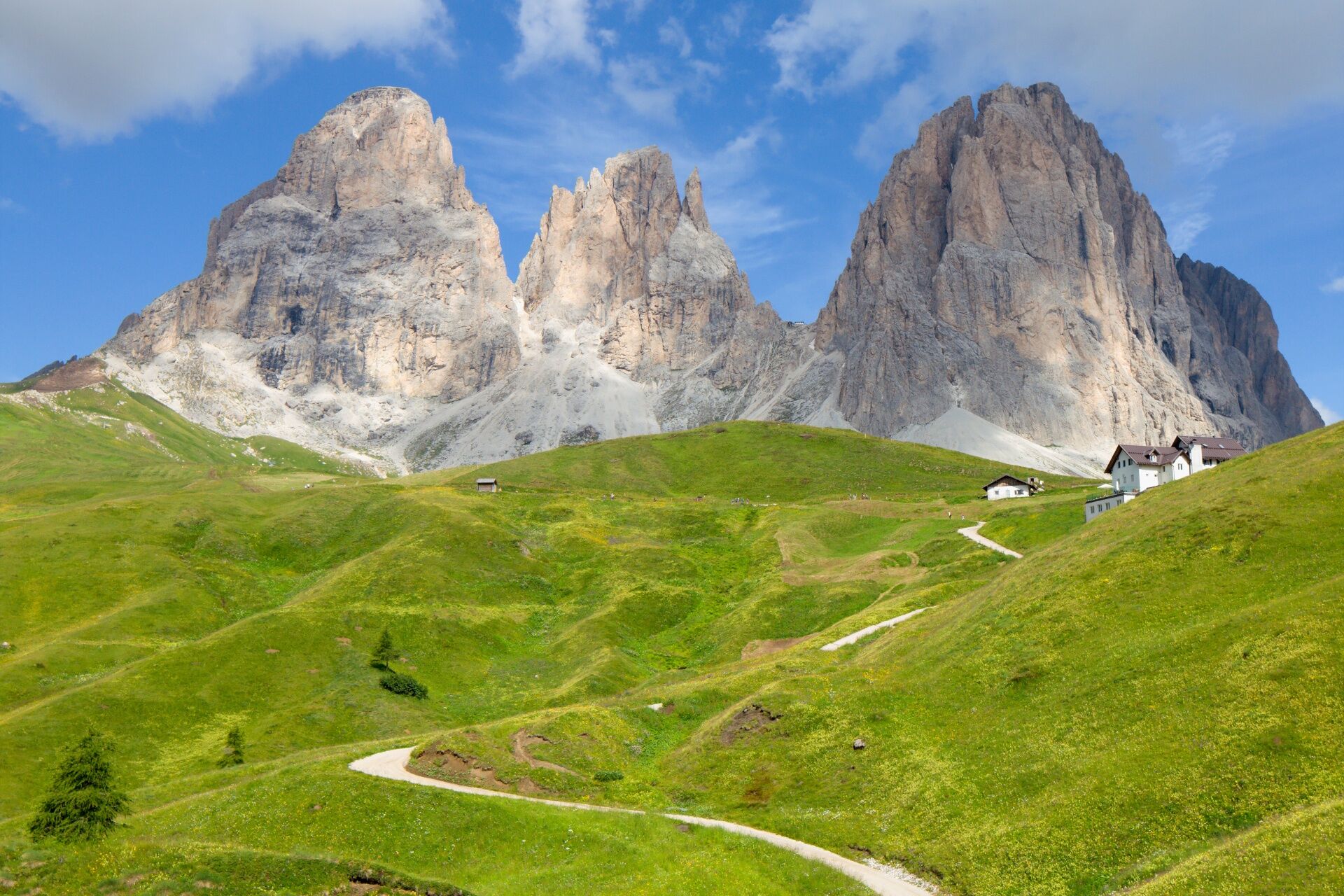
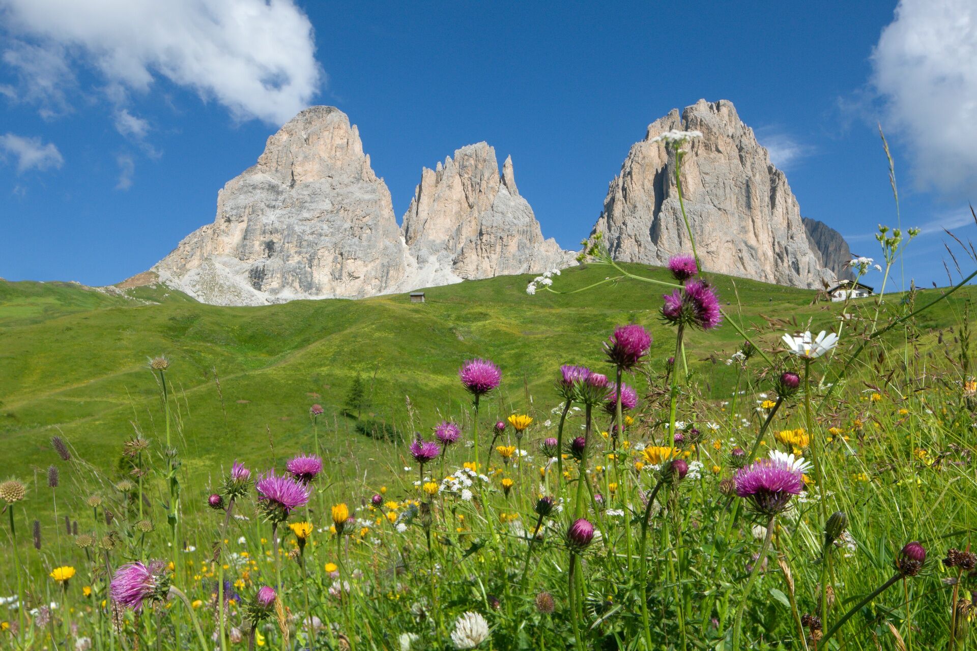
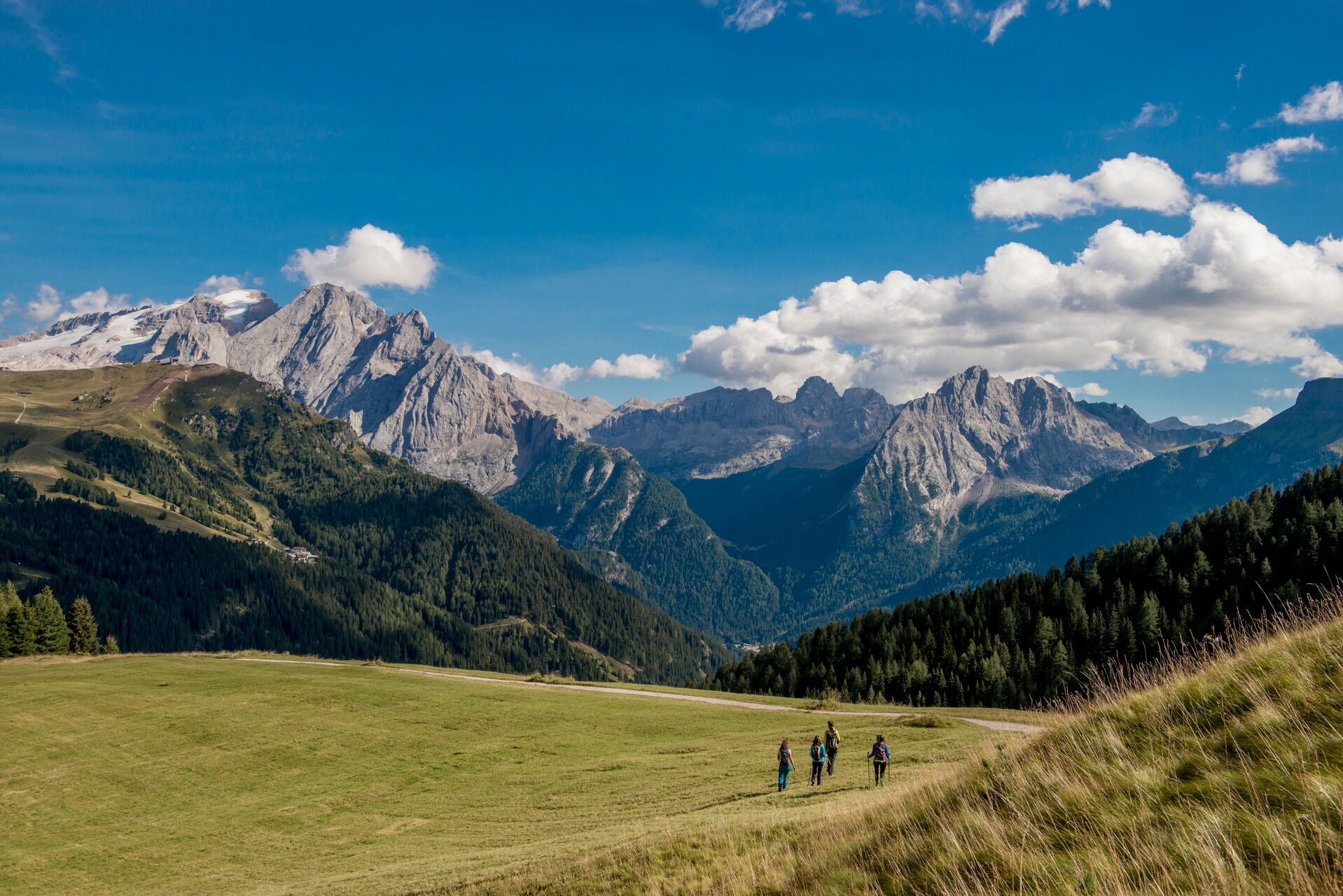
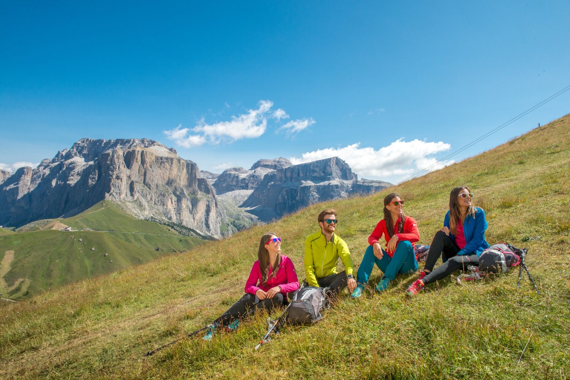
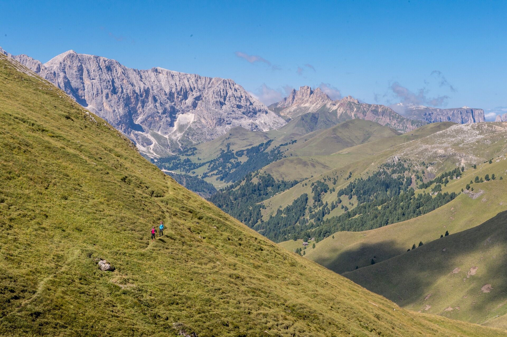
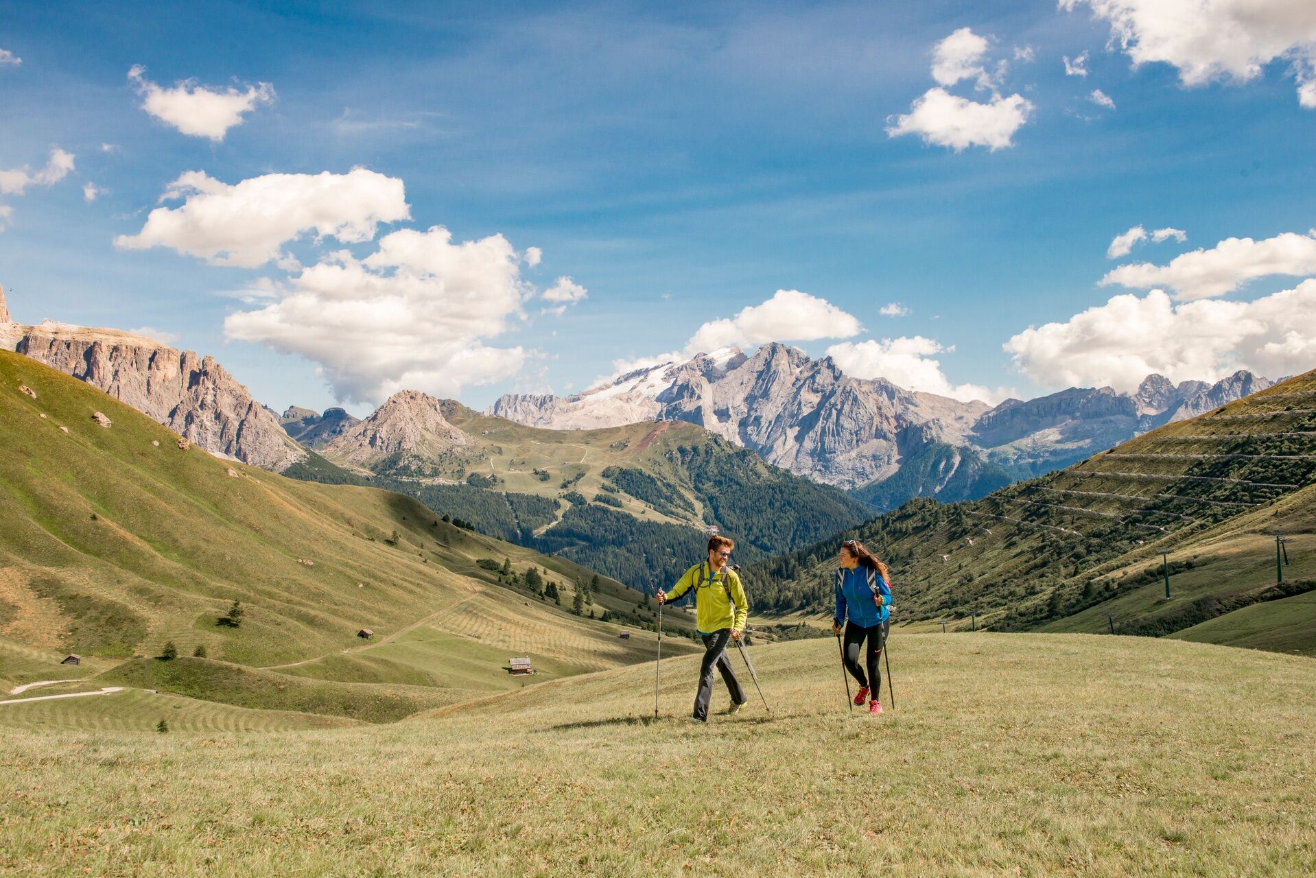
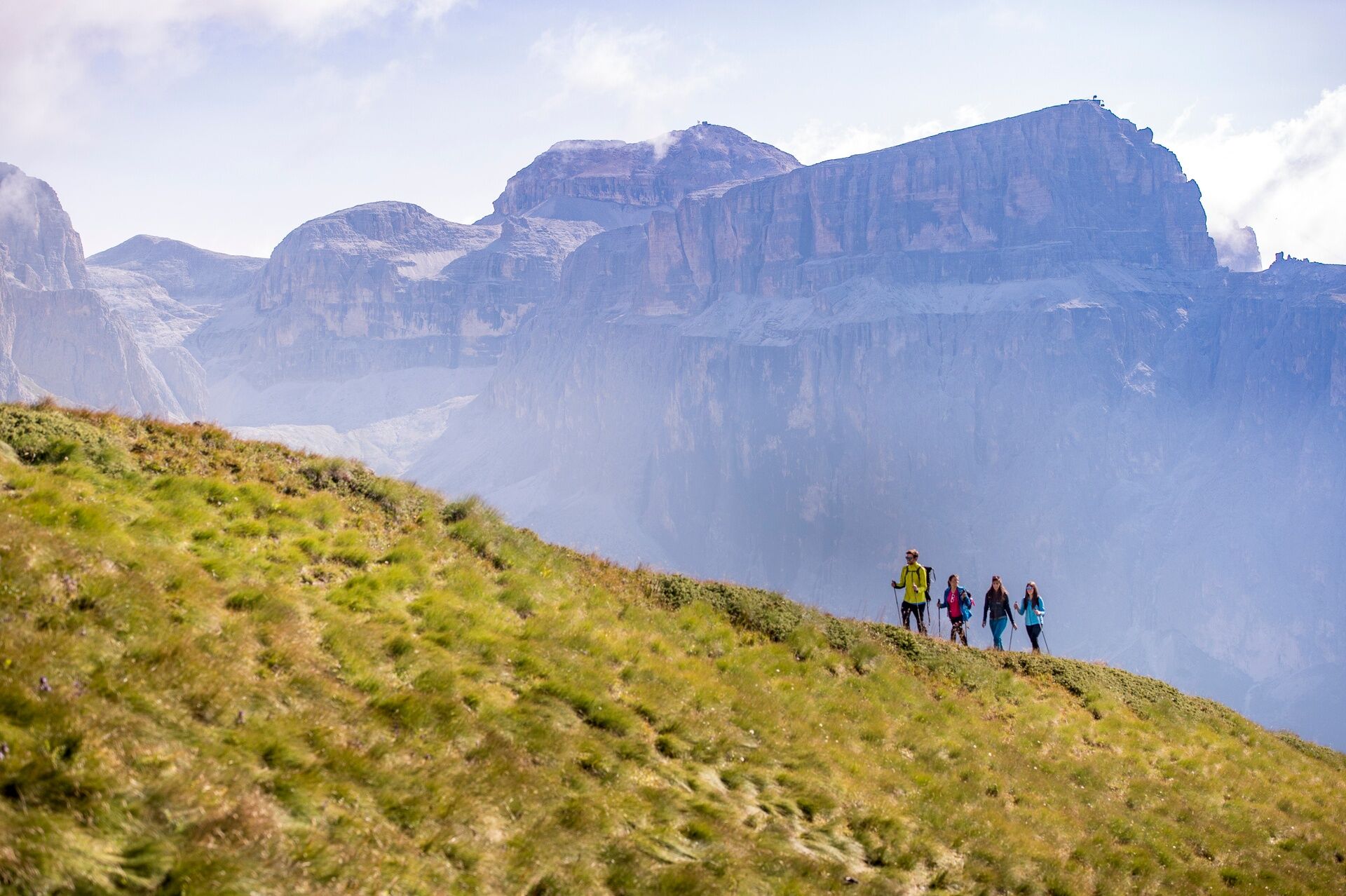
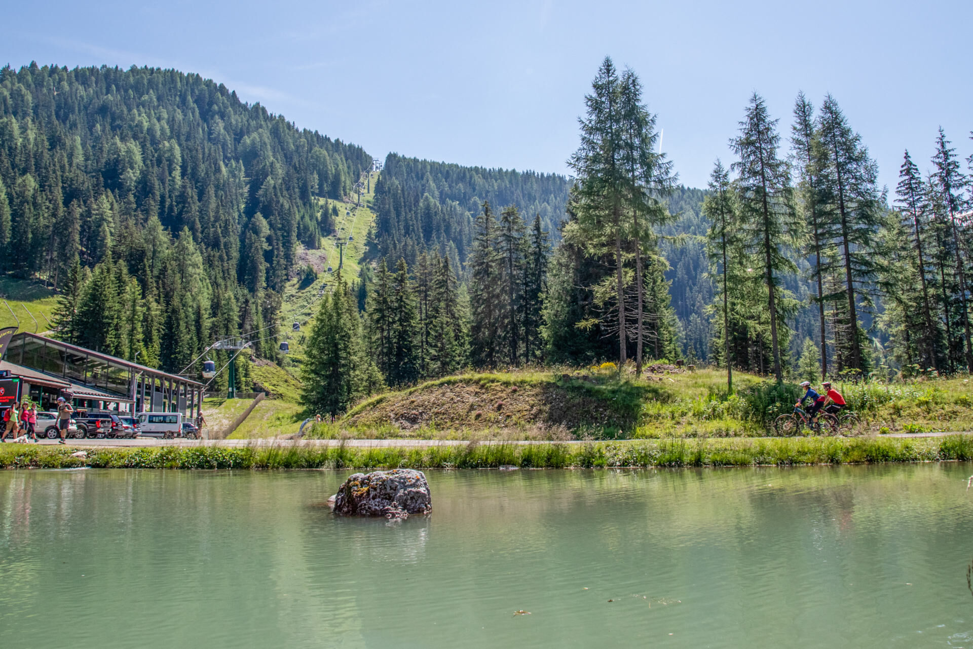
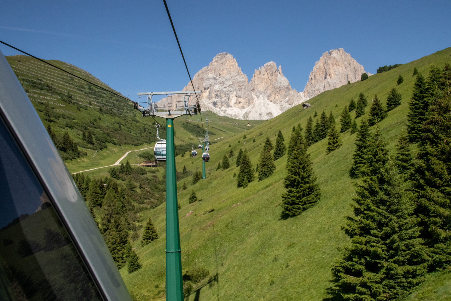
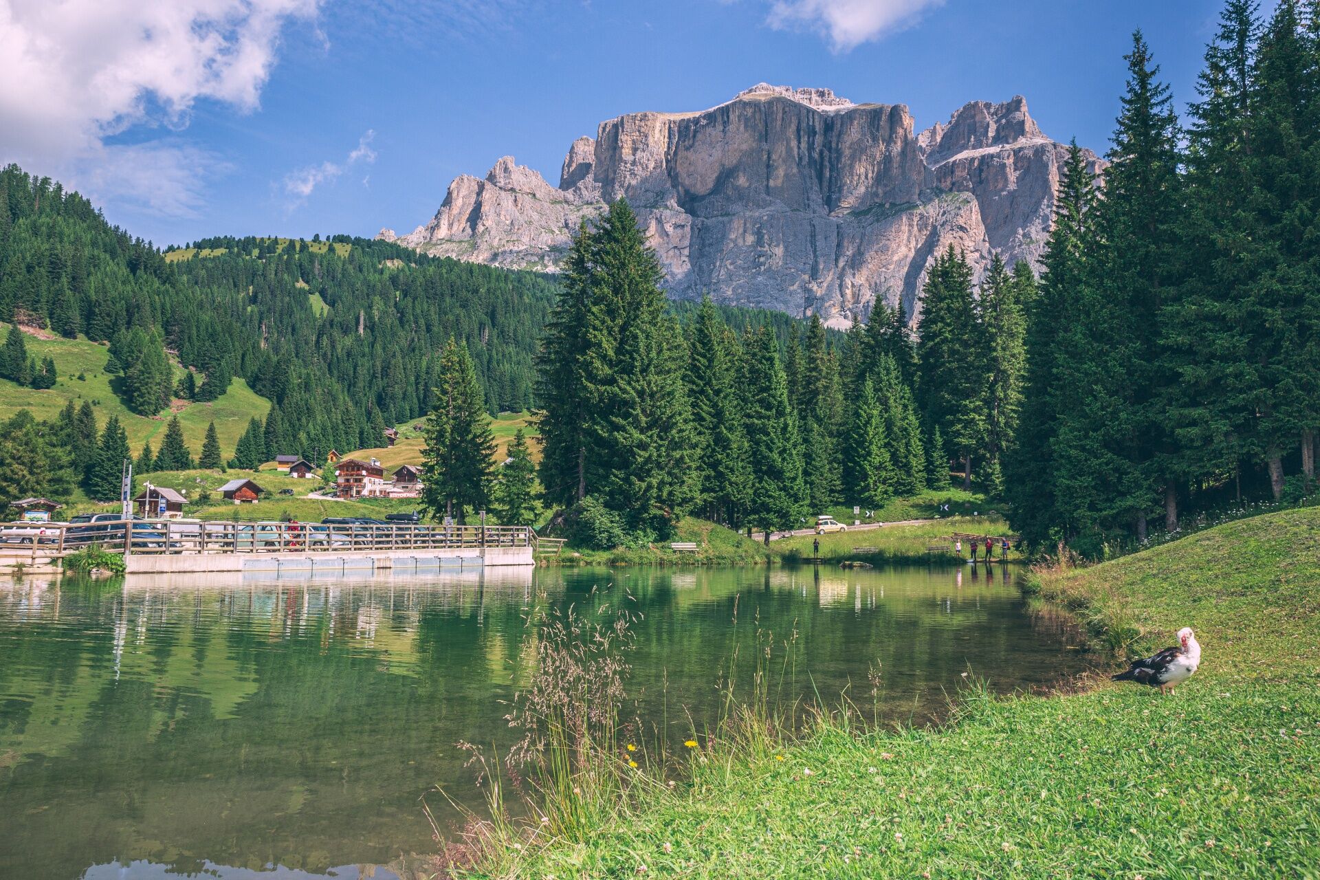
Find the church of Saint Florian and the square of the same name in the old centre of Canazei. Take "Strèda dò Ruf de Antermont", and go past the old sawmill. Then cross the stream "Ruf de Antermont" by way of a bridge to the left. The path is no. 655 and it follows the stream. You will join the forest road "Pian Pozates" and after this the gradient lessens. There is a clearing with a view of the entire Sella mountain group: the Piz Ciavazes on the left, and the Sass Pordoi on the right. You keep following the dirt road until you get to the edge of the forest where there is a bench and a cross. Next walk across the basin of "Mortic" where an old chapel (dedicated to Saint Mary Ausiliatrice) is the only remainder of one of the oldest settlements in Val di Fassa. Now you cross a bridge, and when you meet up with a ski-run go round to the left and keep going not far from the main road. The path then joins the main road at the eighth bend. Keep going uphill until you reach "Pian de Frataces" (1 hour) where you find the Lupo Bianco Hotel on the left and other refreshment points. leave the car at "Pian de Frataces" near the Lupo Bianco Hotel. Go down towards the hollow which used to be an artificial lake. Cross the stream "Ruf de Antermont" and take path no. 655 which actually runs along the forest road "Col de la Pica". Go up through the wooden huts and barns at "Pradel" and then cross the stream "Ruf de Val" ("Pènt de l’Ors" bridge). Keep going along the edge of the forest until you reach a cross and a bench at "Costa Rossa". Turning right you go uphill through the trees and then you will come to a clearing called "Pian de Marizanela". Next there is a short steep section just before you reach the basin of "Val", an area renowned for its wide variety of alpine flora. At a fork turn left to reach the vaste meadow of "Pian de Jiadoes". Cross it going then up through sparse fir and larch trees. Next you come to the Val Salei. The path proceeds gently as it climbs up the mountainside to the Valentini Refuge (2 hrs 15). Go left along the flat road to the Salei refuge and then climb up to the "Forcella Rodella". From here, to the left, the uphill section to the Des Alpes Refuge begins (3 hrs). Then you can take the path which leads up to the top of Col Rodella. You will reach the summit in 15 mins and the view of the Fassa Dolomites is quite exceptional.

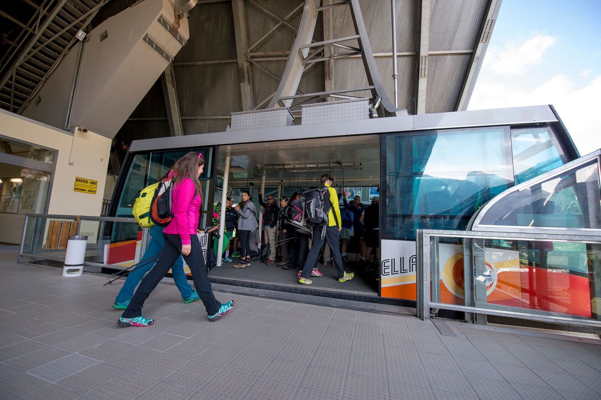
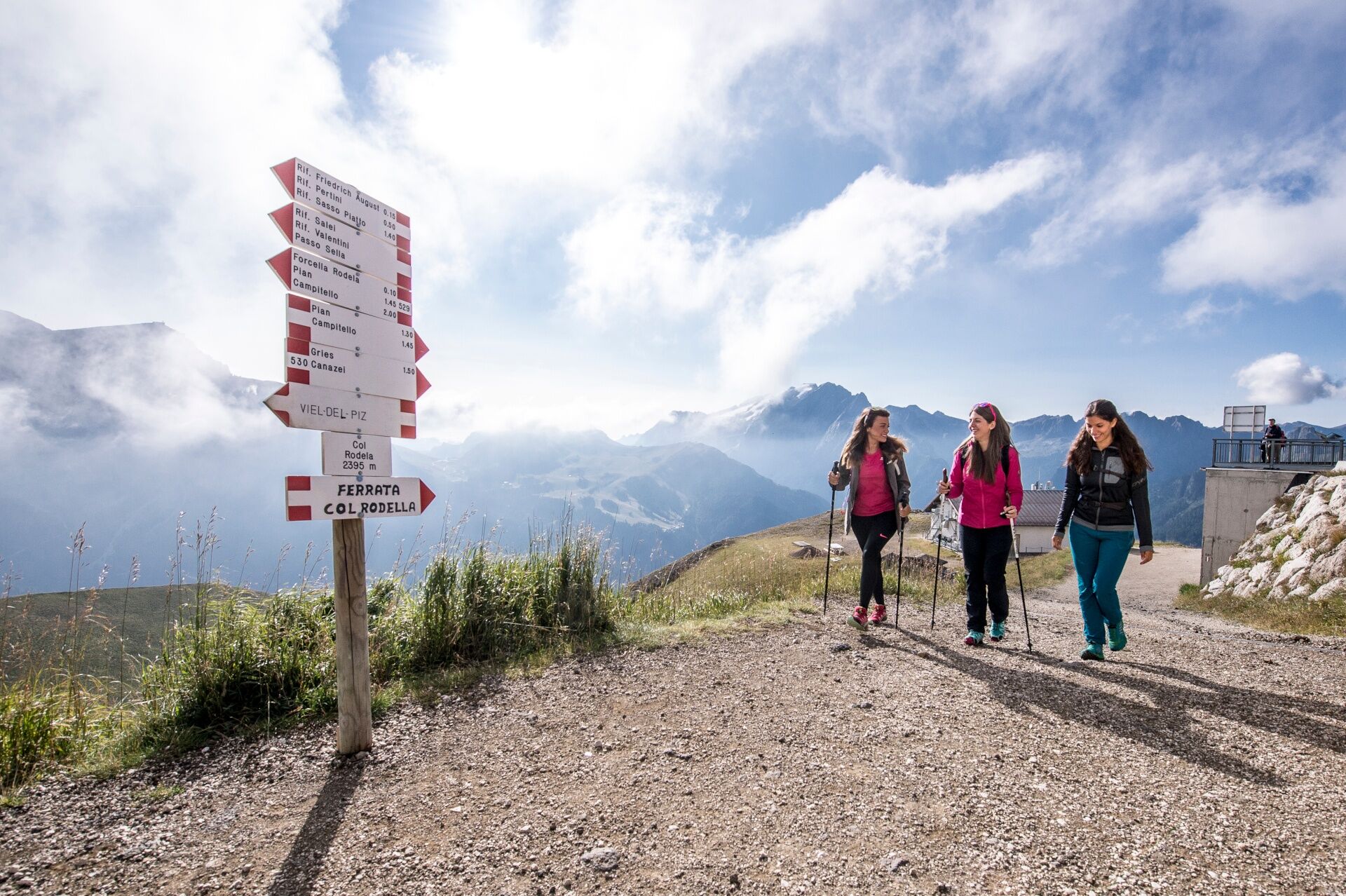
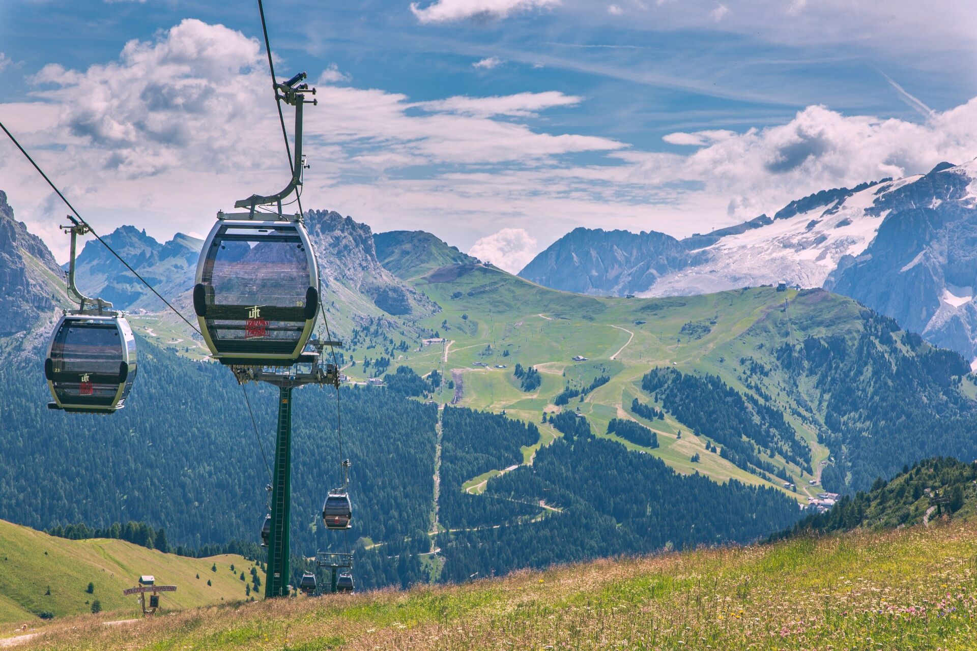
From Col Rodella, return to the valley by cable car and then on foot, with the shuttle train or public transport to Canazei.
Ano
Ano
Wear adequate clothing, footwear and equipment suitable for the length and grade of difficulty of trail to be taken. Always try to be self-sufficient and carry with you the necessary to face possible emergency situations and a first aid kit.
Plan your excursion according to your skills and the weather.
Walk slowly, enjoy the landscape and the silence.
Inform somebody about your itinerary, return time and possible changes.
Rely on professionals (Alpine and local guides).
Help those in need. Call 112 only in case of real necessity.
Make sure you have suitable clothes and equipment + some water and snacks.
Respect the environment around you and its inhabitants. Bring back your rubbish.
Follow the marked trails avoiding those in the bike park.
To protect the wonders of nature, leave everything in its place.
Bring your pet along, but keep it on a leash.
Other accesses to the Val di Fassa
from the A27 (Venice) motorway, exit Belluno/Ponte nelle Alpi, S.S. 203 for Agordo and S.P. 346 Passo San Pellegrino - Moena (Val di Fassa). From the Moena bypass towards Canazei from the A27 (Venice) motorway, exit Belluno/Ponte nelle Alpi, S.S. 203 for Agordo/Alleghe/Rocca Pietore. S.P. 641 Passo Fedaia - Canazei coming from Arabba, S.S. 48 Passo Pordoi - Canazei from Val Gardena, S.S. 242 Passo Sella - CanazeiPublic transport lines SAD - Val di Fassa:â¯
line no. 180 Vigo di Fassa - Carezza Pass - Bolzano line no. 471 Dolomites passes (Sella Pass, Gardena Pass, Campolongo Pass, Pordoi Pass, Fedaia Pass). Service available in summer onlyParking lot at Dòlaondes Aquatic Centre in Canazei (pay and display/free/parking disk).
Strèda Roma, 36
38032 Canazei (TN)
Phone +39 0462 609500
info@fassa.com
www.fassa.com
To avoid the climb, the itinerary can be tackled in the opposite direction, starting from Campitello and reaching Col Rodella by cable car. Data: 2.45 hours; height difference in descent 932 m. Other lifts open: chairlift Rodella - Des Alpes; gondola Pradel - Salei (Pian de Frataces).
Webové kamery z prohlídky
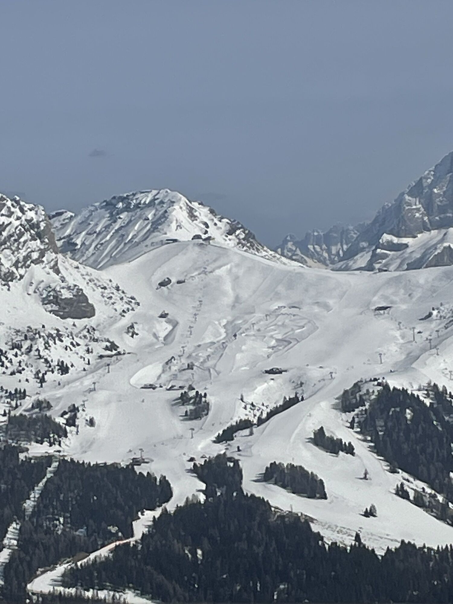
Ciampinoi
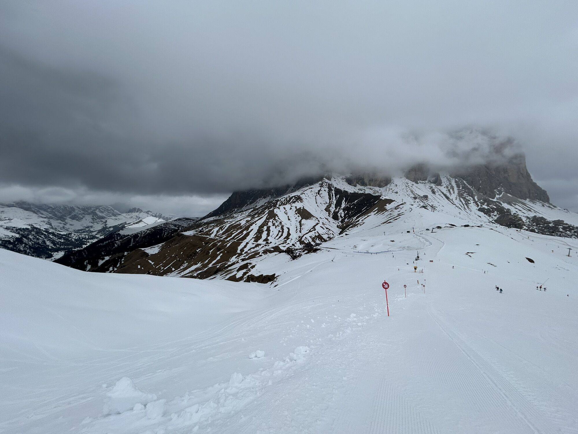
Plan de Gralba
Col dei Rossi
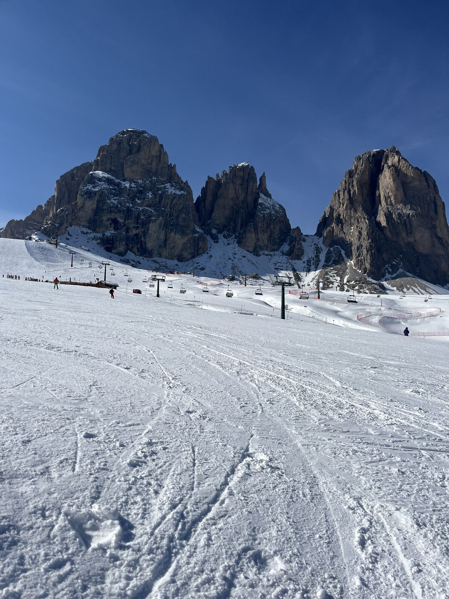
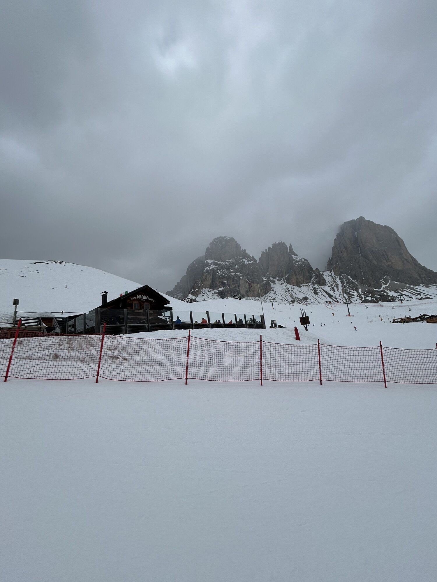
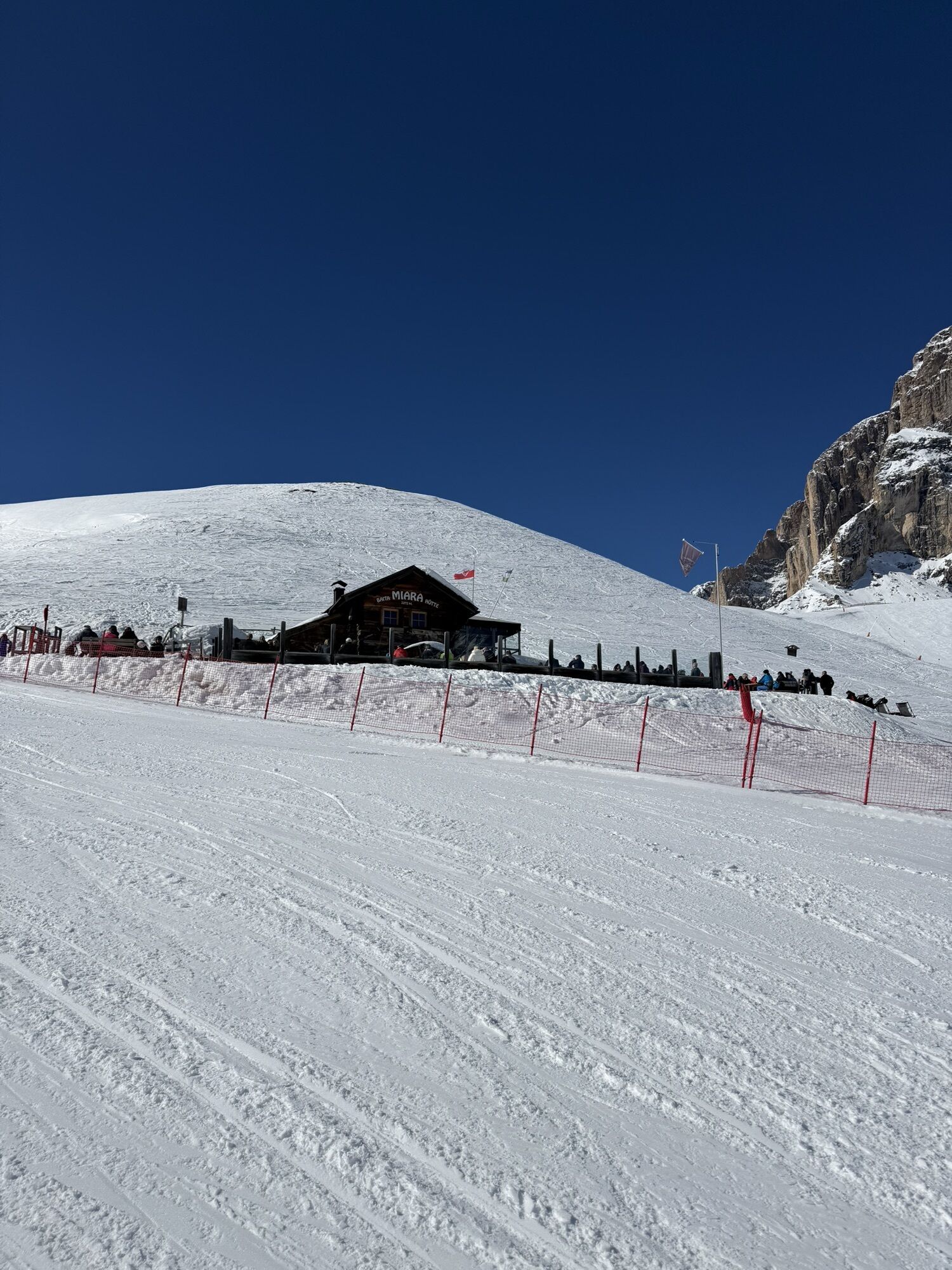
Rifugio Maria Sass Pordoi
Val Gardena - Ciampinoi
Val Gardena - Citta dei Sassi
Canazei - Col dei Rossi
Canazei - Col dei Rossi
Canazei - Col dei Rossi
Canazei - Col Rodella
Canazei - Col dei Rossi
Canazei - Col dei Rossi
Canazei - Col dei Rossi
Canazei - Col dei Rossi
Canazei - Col dei Rossi
Canazei - Ciampac
Ciampinoi
Ciampinoi
Ciampinoi
Ciampinoi
Ciampinoi
Ciampinoi
Piz Sella
Piz Sella
Piz Sella
Piz Sella
Piz Sella
Piz Sella
Piz Sella
Piz Sella
Canazei - Ciampac
Canazei - Ciampac
Canazei - Ciampac
Pordoi - Pass
Canazei - Col dei Rossi
Canazei - Col dei Rossi
Canazei - Col dei Rossi
Canazei - Col dei Rossi
Canazei - Col dei Rossi
Passo Sella - Hotel Maria Flora
Oblíbené prohlídky v okolí
- 4,8
The Munkelweg trail beneath the Geisler peaks
středníTuristika 9,11 km - 4,6
Pordoi Pass - Sass Pordoi - Forcella Pordoi - Piz Boè - Boè Refuge - Forcella Pordoi - Pordoi Pass
heavyTuristika 8,39 km - 4,9
Lang- und Plattkofel Umrundung
středníTuristika 17,5 km - 5,0
Um den Langkofel
středníTuristika 9,76 km - 4,8
Santnerpass Klettersteig
středníVia ferrata 8,29 km - 4,8
Langkofel-Umrundung
středníTuristika 12,9 km - 4,7
Puflatsch Umrundung
světloTuristika 8,37 km - 4,0
Der Friedrich-August-Weg
středníTuristika 10,4 km - 5,0
Langkofel Klettersteig/Ferrata Furcela de Saslonch
heavyVia ferrata 7,07 km - 4,8
Schlern Bersteigung
středníTuristika 19,1 km
Pěší turistika a stopování


Nenechte si ujít nabídky a inspiraci pro vaši příští dovolenou
Vaše e-mailová adresa byl přidán do poštovního seznamu.