







Tour of the four hamlets
The route, which is essentially flat, covers trails and farm roads through vineyards and old villages that offer glimpses of a rural landscape from other times. The route itself is a circular one and therefore,...
The route, which is essentially flat, covers trails and farm roads through vineyards and old villages that offer glimpses of a rural landscape from other times. The route itself is a circular one and therefore, can be completed starting from any of the hamlets and in either direction.
There are numerous traditional workplaces (mills) to be seen along the way, close to water courses, and a testament to the self-sufficient local economy. Well worth a visit is the church of San Vigilio and Valentino in Vezzano, and the church of San Bartolomeo in Fraveggio, which dates back to 1491.

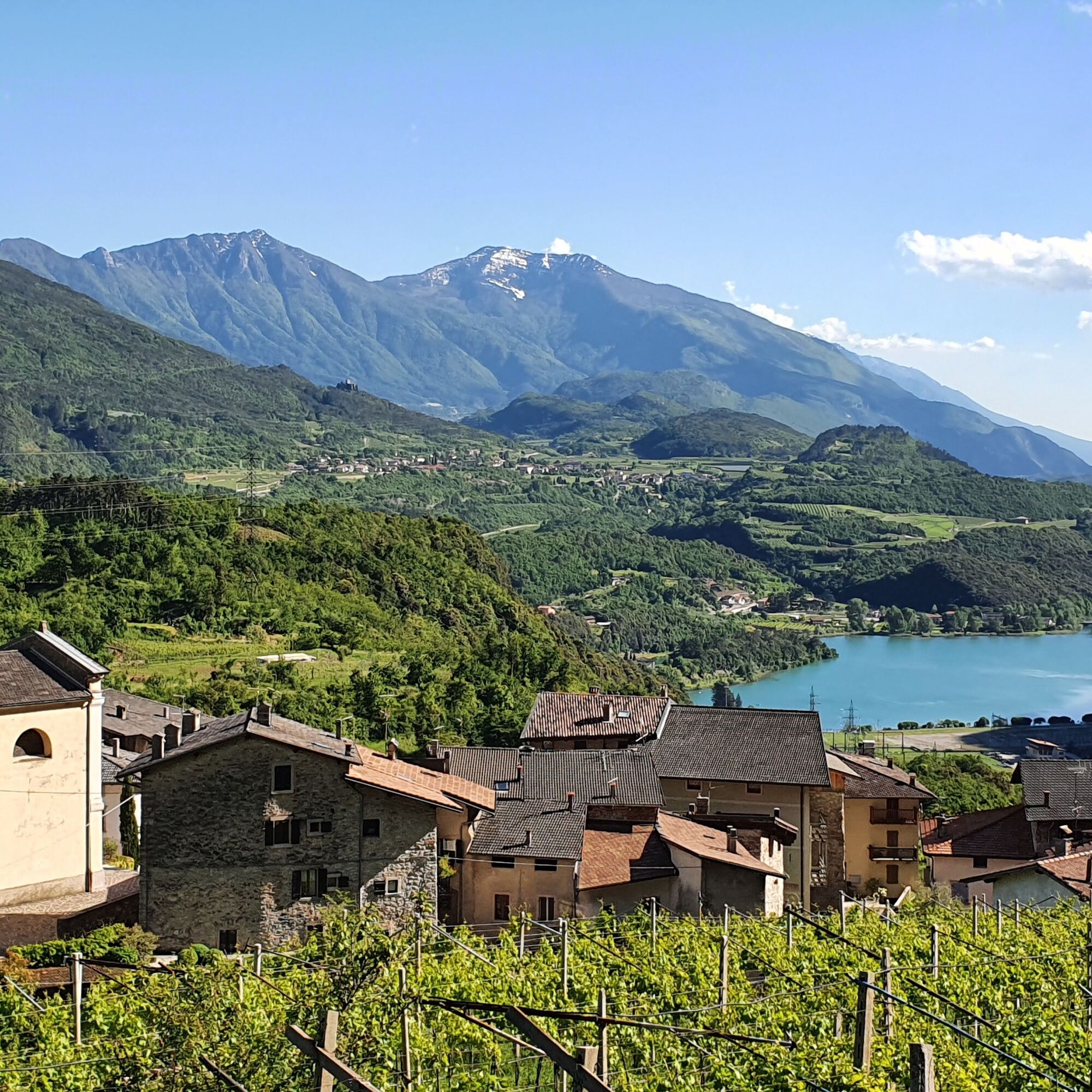
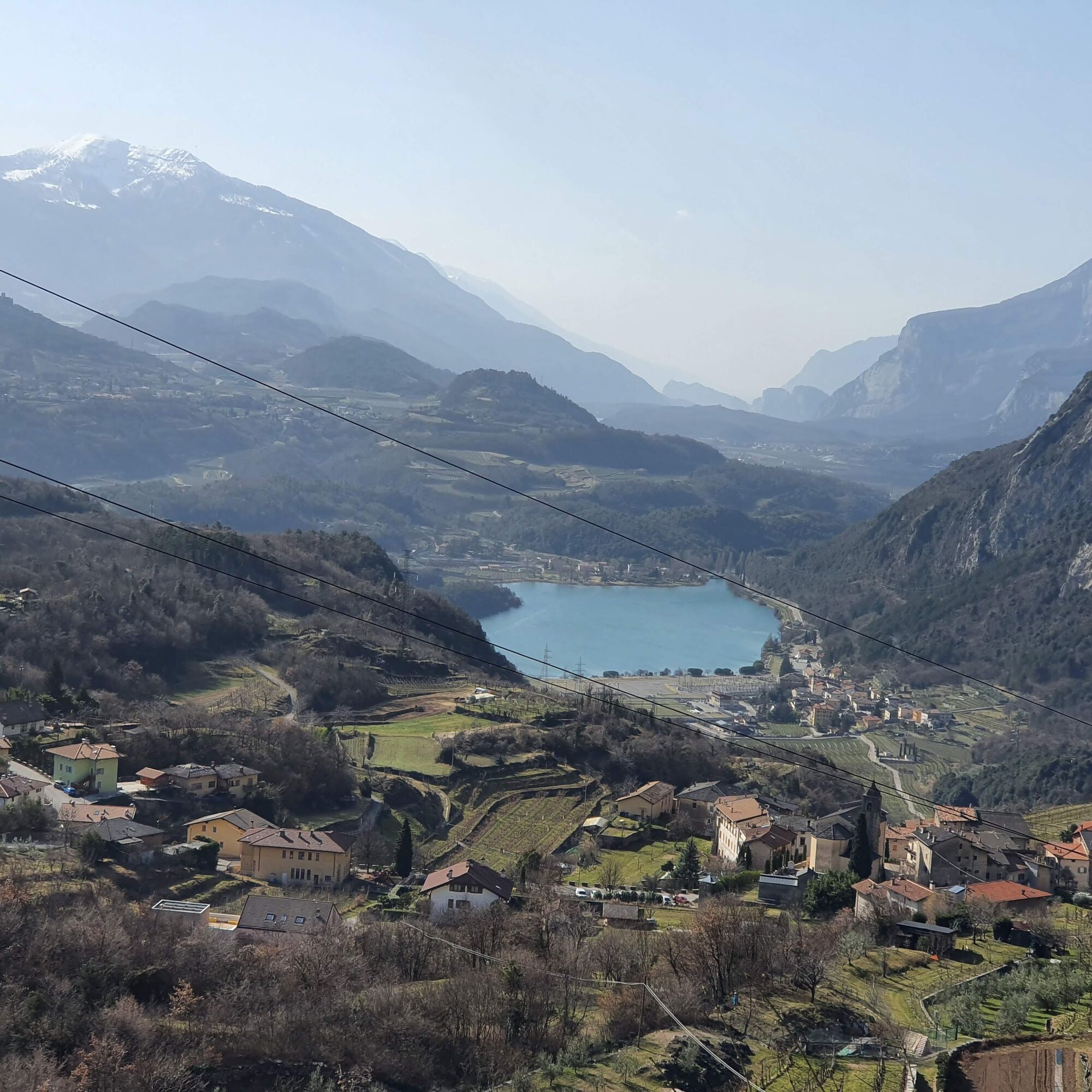

This itinerary starts from the car park of Vezzano and follows the provincial road (S.P. 18) on to Fraveggio. Once past the hamlet and the church, take Via ai Piai, a little country road leading up to Lon. The descent to Vezzano will take you along a trail through the woods.
Ano
This excursion is quite simple and presents no particular difficulty. However, we still recommend you to wear suitable footwear, a hat, sun screen and sunglasses. And be sure to bring water!
The telephone number for the emergency services is 112.
The information on this chart is subject to inevitable variations, so this means that none of the indications are absolute. It is not entirely possible to avoid giving inexact or imprecise information, given how quickly environmental and weather conditions can change. For this reason we decline any responsibility for changes which the user may encounter. In any case, the hiker is advised to check the conditions of the places, environment and weather before setting out.
Find out how to reach Garda Trentino.
Pietramurata, Sarche, the lakes of Toblino and Santa Massenza (bus stop Due Laghi) and Vezzano are connected by the intercity bus line 205 (Riva del Garda – Sarche – Trento to the other places in Garda Trentino.
Parking in Via Roma in Vezzano or in Via Stoppani near the theatre.
In Lon, the view spans from the Lake of Santa Massenza as far as Mount Brione, on the northern shore of Lake Garda.
Oblíbené prohlídky v okolí
- 4.7
Via Ferrata Rio Sallagoni
středníVia ferrata 2.75 km - 4.3
Malga Movlina and Rifugio XII Apostoli
středníTuristika 11.5 km - 4.6
The Calavino Water Channel
středníTuristika 3.79 km - 3.5
Rifugio Selvata
středníTuristika 12.1 km - 5.0
Via Ferrata Rino Pisetta - Dain Piccolo
heavyVia ferrata 5.89 km - 3.7
Marocche Nature Reserve
středníTuristika 6.01 km - 4.7
The Sarca Valley and Lake Cavedine: from Arco to Sarche
světloJízda na kole 36.6 km - 4.8
Carobbi - Tour
středníMountainbike 24.5 km - 3.0
Tre Cime del Bondone
středníTuristika 10.4 km - 5.0
Tour del Lago di Cavedine
světloSilniční kolo 39.9 km

Pěší turistika a stopování


Nenechte si ujít nabídky a inspiraci pro vaši příští dovolenou
Vaše e-mailová adresa byl přidán do poštovního seznamu.





