


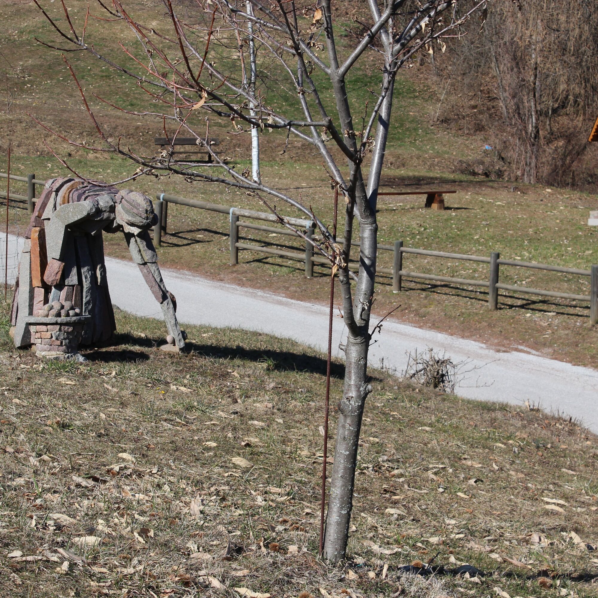
Discovering the porphyry quarries
In addition to the natural beauty, the presence of man is also notable with the numerous quarries for the extraction of porphyry.
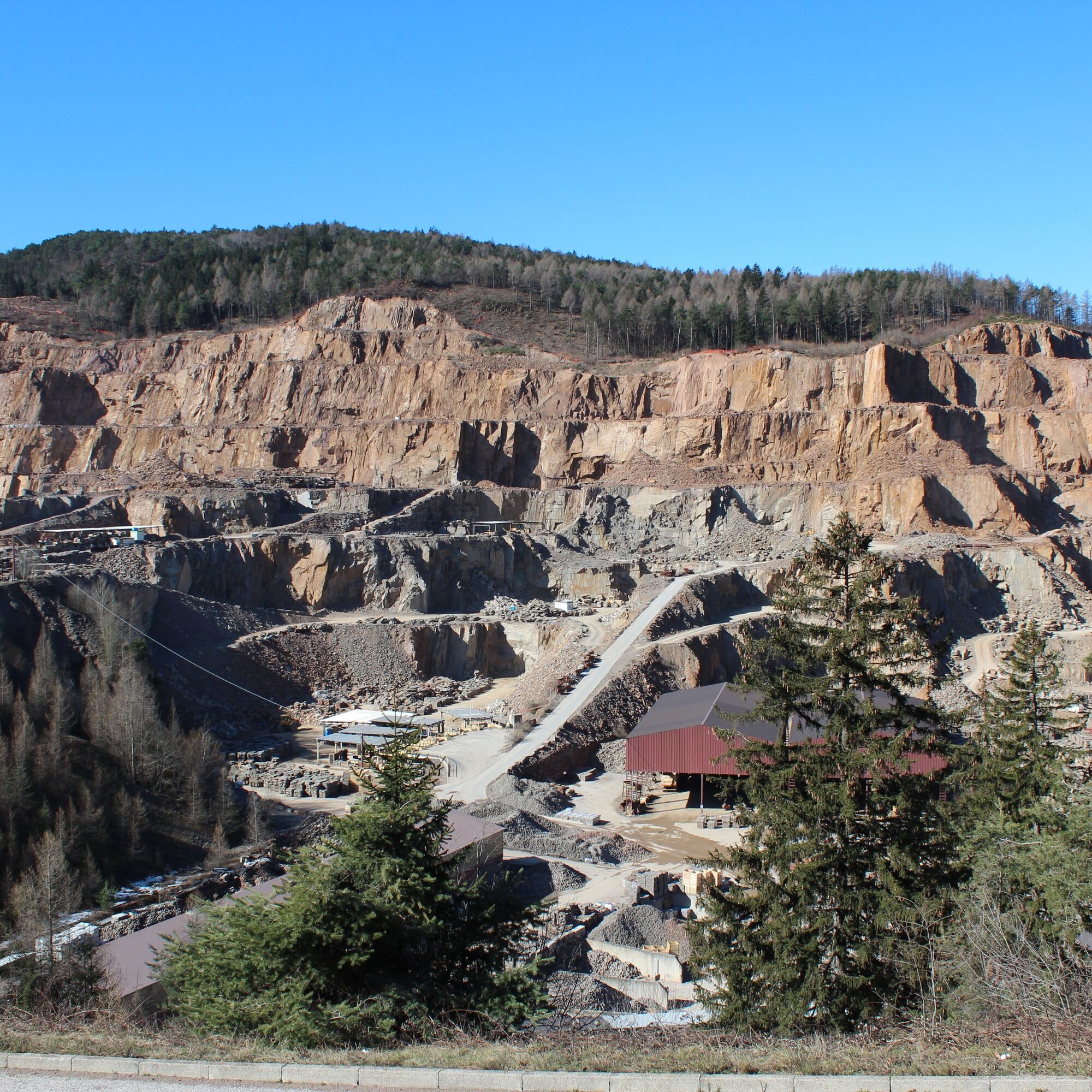
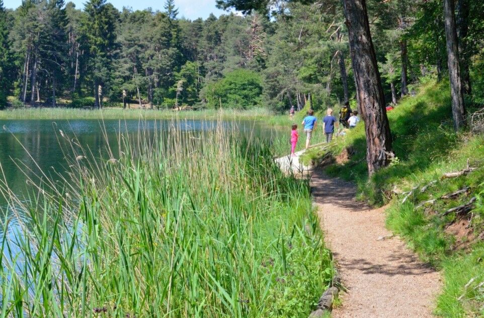
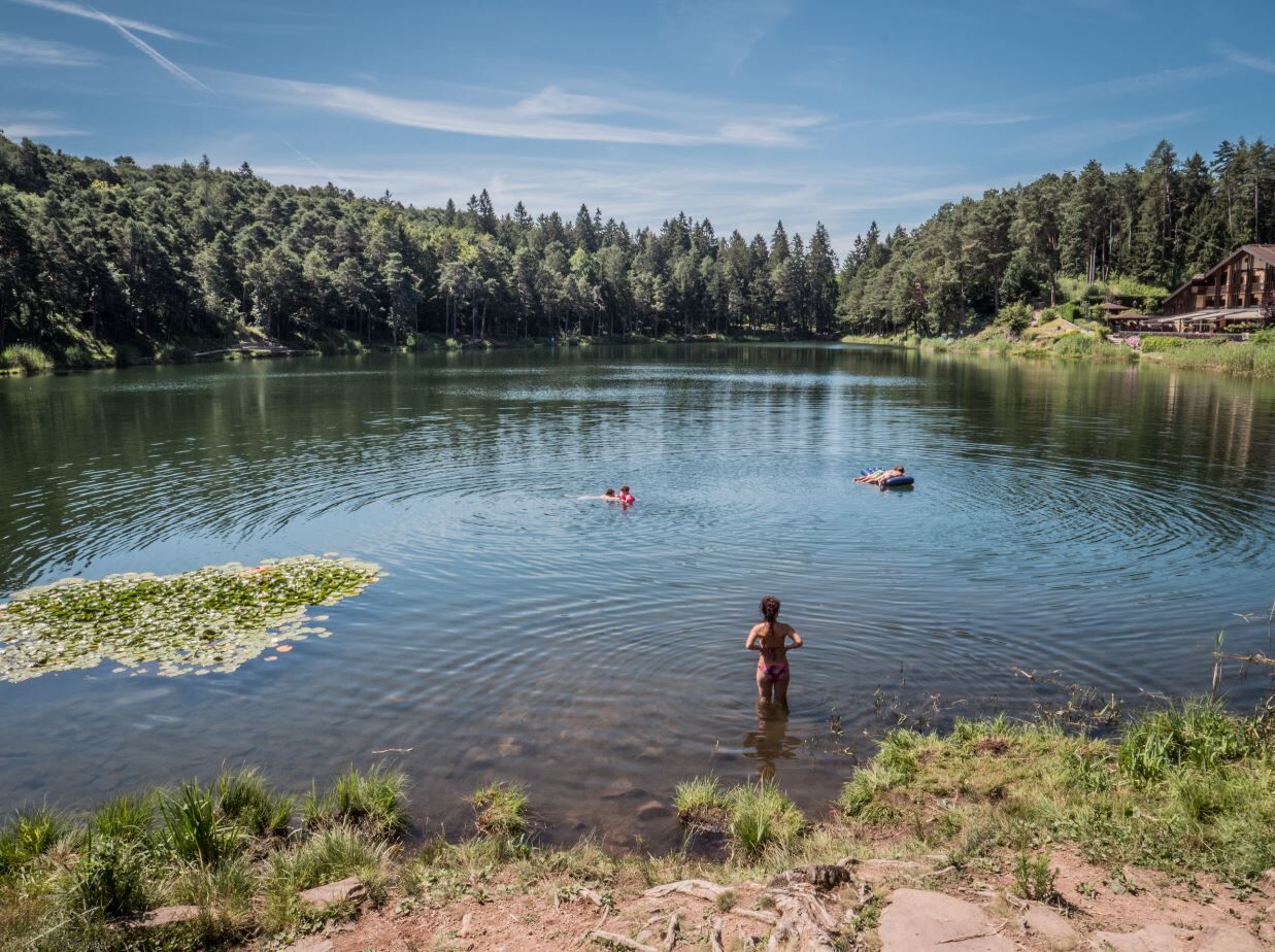
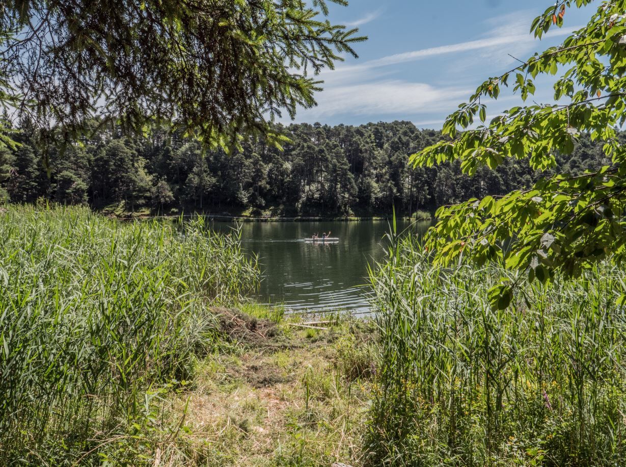
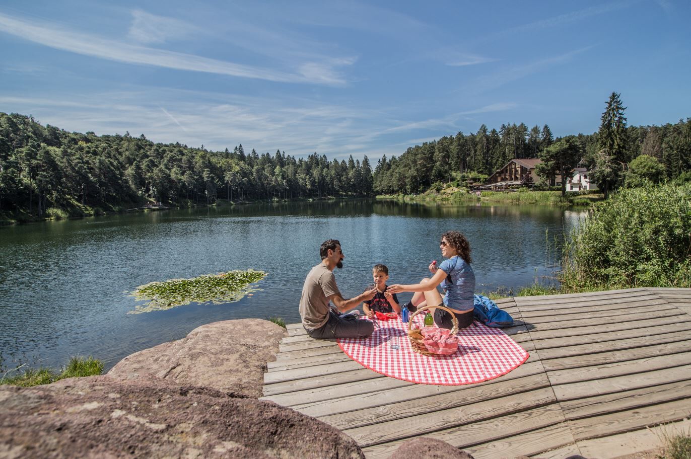
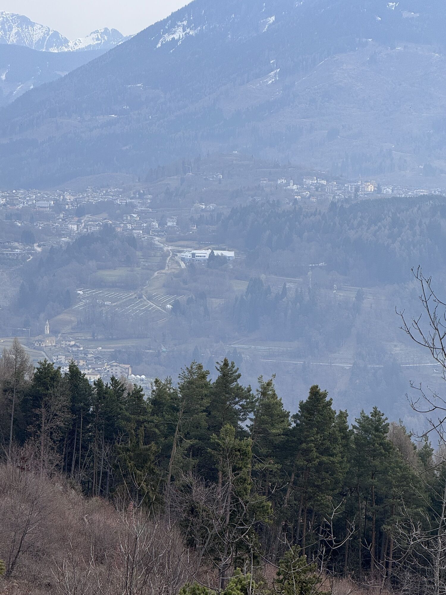
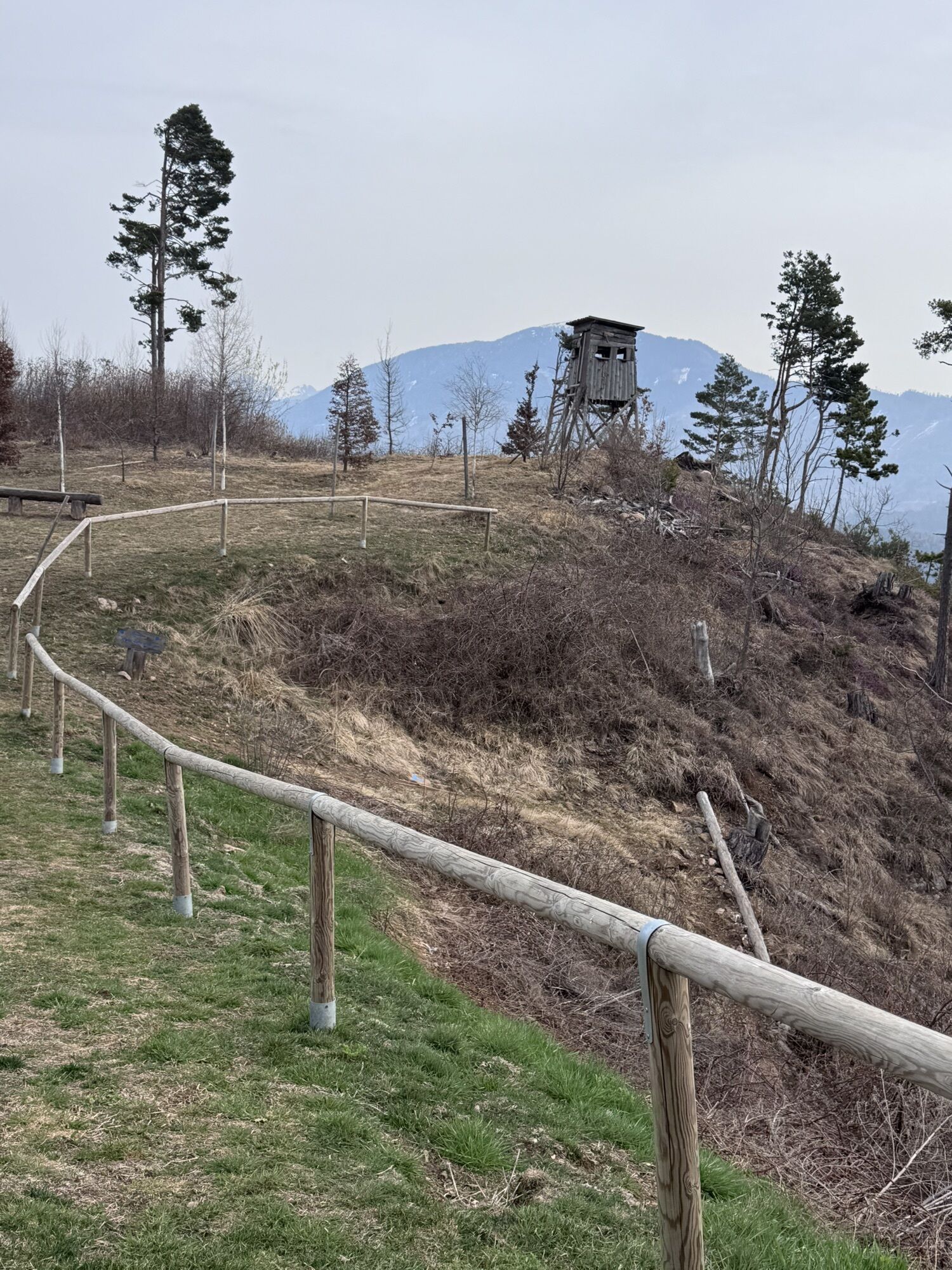
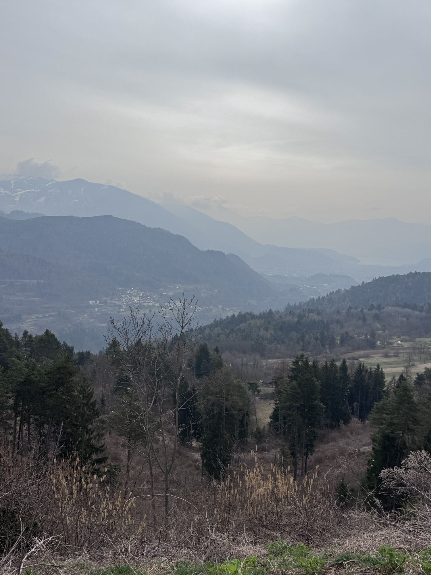
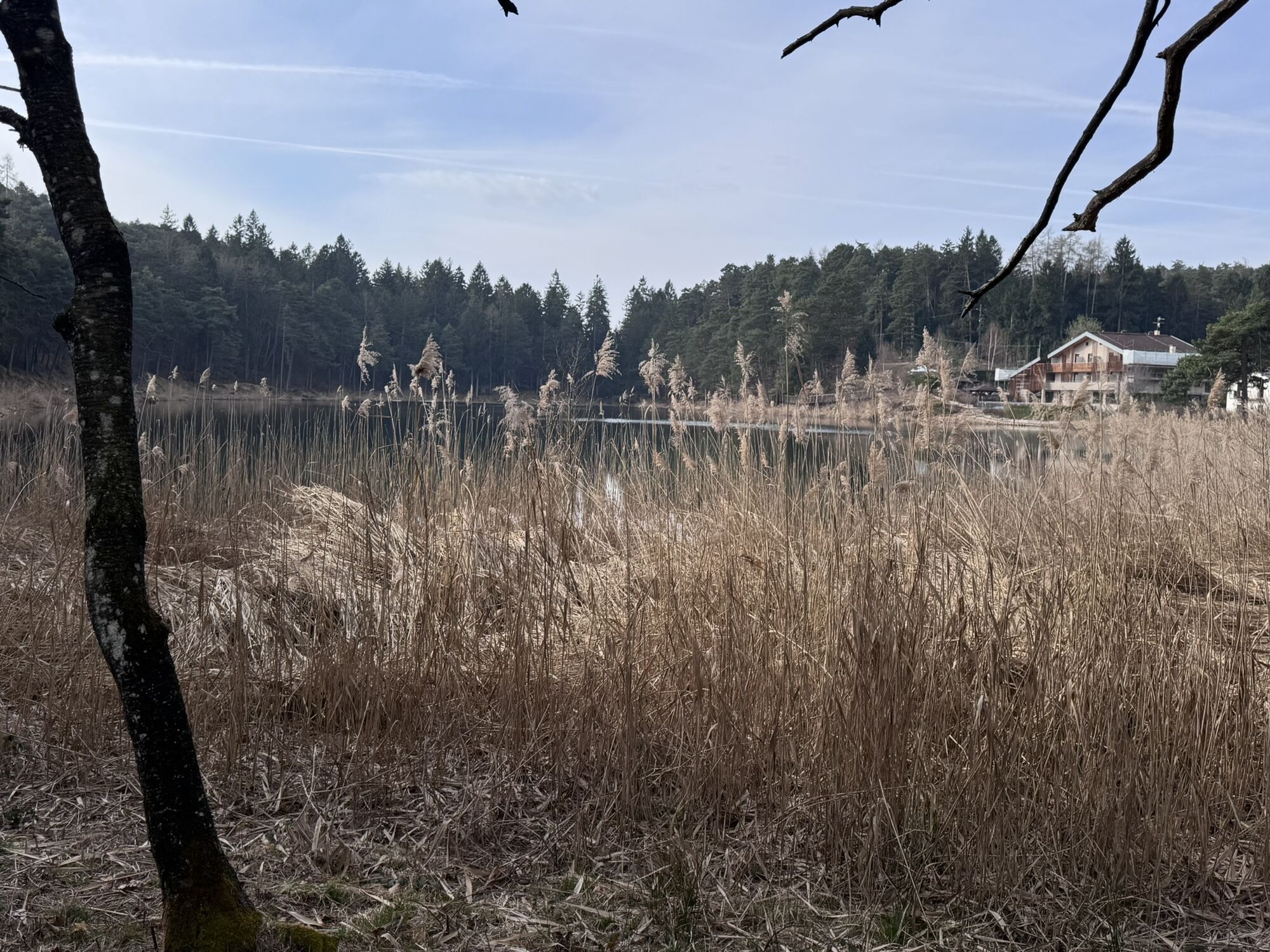
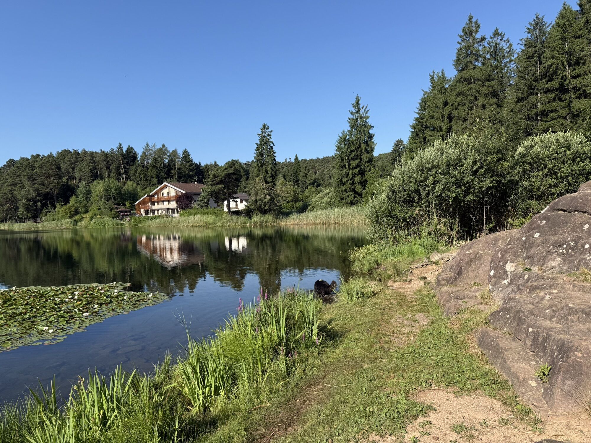
From the sports centre in Albiano, start off immediately uphill on an asphalt road with very little traffic in the direction of Lake Santa Colomba; you pass the locality of Spiazzi and come to a small playground and a fountain. Continuing along the road, which is now flat, you briefly cross an area used for quarrying porphyry until you cross the road that goes up to Santa Colomba Lake in the locality of Pra Nardot. Follow the signs for Mongalina and enter the forest on an easy forest road, passing the pleasant meadows of Mongalina until you come to a crossroads; here follow the signs for the Santa Colomba lake (path no. 421) on a path, first on a false level and then decidedly uphill, and you will reach the lake with the possibility of refreshment at the hotel of the same name. Continue following path no. 421 which, passing near Doss dei Brusadi (which can be reached in a short time by following the signs) leads towards Pian del Gacc. Once you arrive in the Malga locality, instead of taking the tarmac road that leads towards Pian del Gacc, continue along the dirt road that climbs slightly towards Montepiano where it is possible, by following the "Sentiero degli Gnomi" (Gnome Path) to observe the wooden sculptures that tell the stories of the forest to those who know how to listen. Now follow the signs for Pian del Gacc/Sentiero Montepiano e Gnomi (no. 16) and continue through the woods with a few ups and downs until you come to a fork in the road, which soon leads to the tarmac road to Pian del Gacc, where there is the possibility of refreshments. From Pian del Gacc, following the signs for Albiano, on a nice, mainly downhill path, we again reach the village of Albiano and from here we soon reach our starting point.
Ano
Hiking shoes, rain-jacket, hiking poles, water, sun cream
THE 10 RULES FOR HIKERS
Prepare your itinerary beforehand Choose an itinerary that suits your physical abilities Choose suitable clothes and equipment Check the weather forecast Hiking by yourself is more risky; if this is the case, take a mobile phone with you Leave information about your itinerary and your expected return time If you are not sure about your itinerary, contact an Alpine Guide Pay attention to signposts and directions that you find along your way Do not hesitate in going back if you feel too tired In case of emergency call 112By car: From south or north, on the A22 Brennero motorway, leave the motorway at the Trento Nord exit (22.5 km from the toll gate), continue northwards on the Main Brennero Road SS12 until the turn-off for Lavis, then take the Lavis - Castello di Fiemme Main Road SS612 which will take you to the Cembra Valley.
Albian can be reached by suburban public transport line B103.
Free parking at the Sports Hall.
Piné Plateau Tourist Office - Tel. +39 0461 557028 - info@visitpinecembra.it - www.visitpinecembra.it
We recommend a visit to the Casa Porfido Museum, located in the historic center of Albiano.
Oblíbené prohlídky v okolí
- 4,8
Burrone Klettersteig (B)
Via ferrata 4,30 km - 3,4
Rio Secco (D)
Via ferrata 2,42 km - 4,5
Caldonazzo - Levico
středníJízda na kole 18,9 km - 4,5
Prati di Prada and the Lakes of Lamar
světloTuristika 8,05 km - 4,7
Klettersteig Val del Ri
středníVia ferrata 4 km - 4,7
Levico Terme - Paluda del Baruchèl - Visintainer - Pergine Valsugana
světloMountainbike 23,5 km - 5,0
From Cembra to Lago Santo
světloTuristika 13,8 km - 4,3
Baselga di Piné - Marini - Ricaldo - Serraia
světloTuristika 9,34 km Ijsmeertje. Lago Erdemolo. Palù del Fersina, Trentino-Alto Adige/Italia
středníTuristika 8,81 km- 4,5
Hotel Margherita - Visintainer - Paluda del Baruchèl - Tenna
středníTuristika 11,6 km
Pěší turistika a stopování


Nenechte si ujít nabídky a inspiraci pro vaši příští dovolenou
Vaše e-mailová adresa byl přidán do poštovního seznamu.