






Stigolo
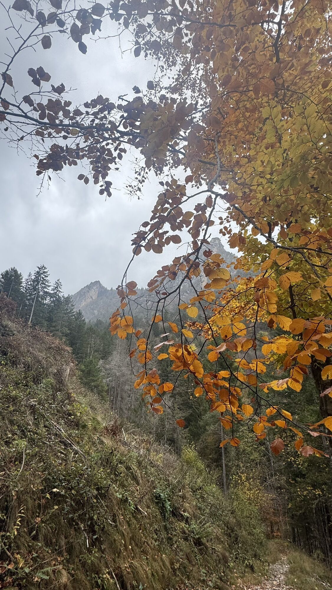
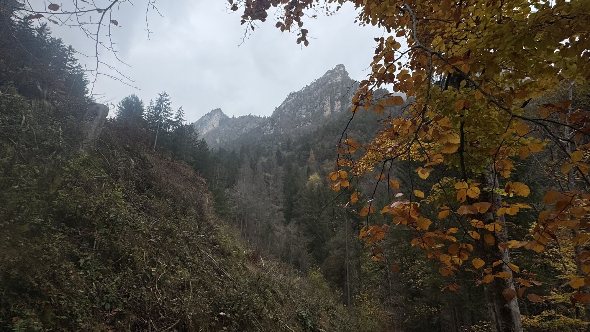
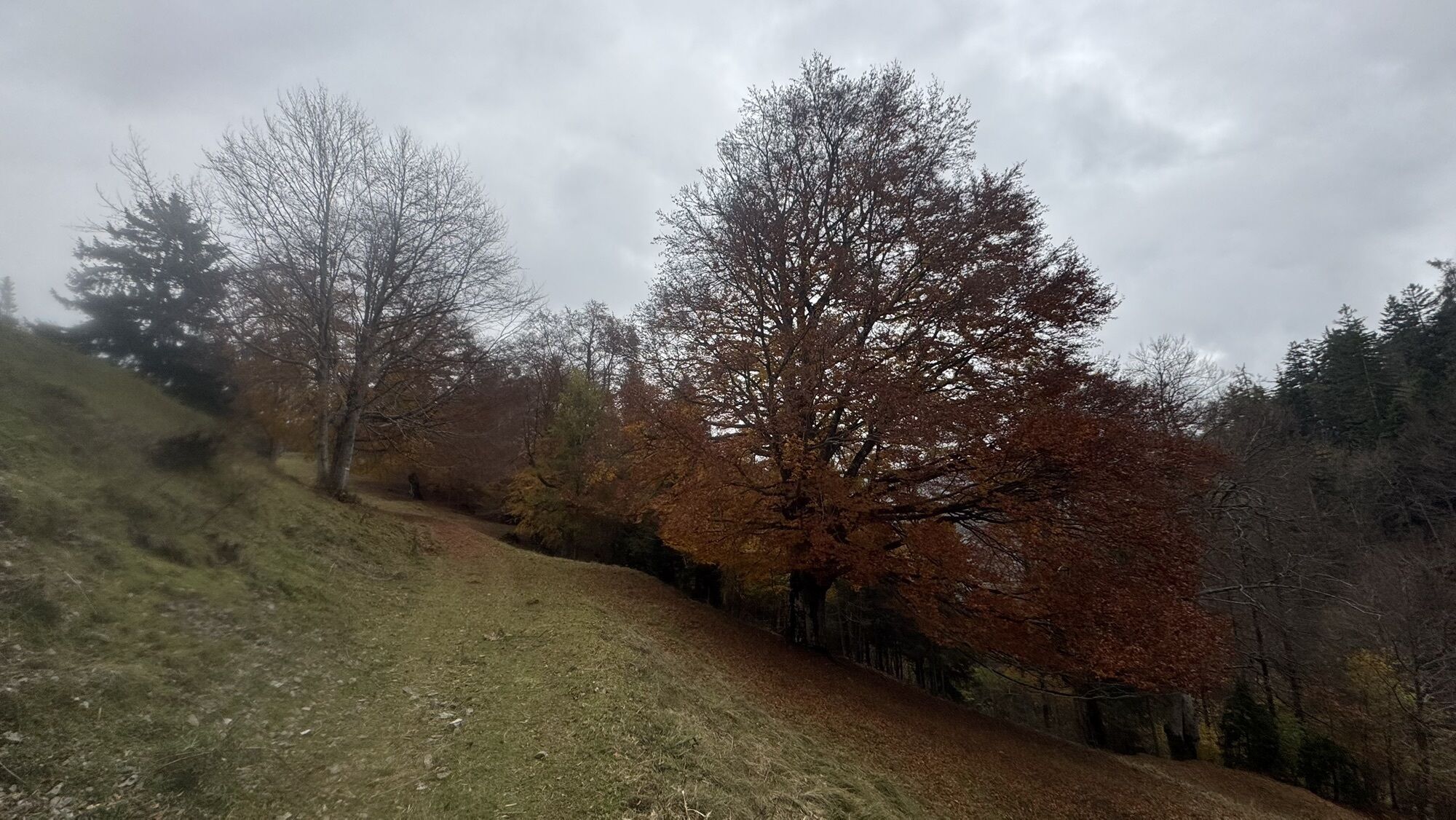
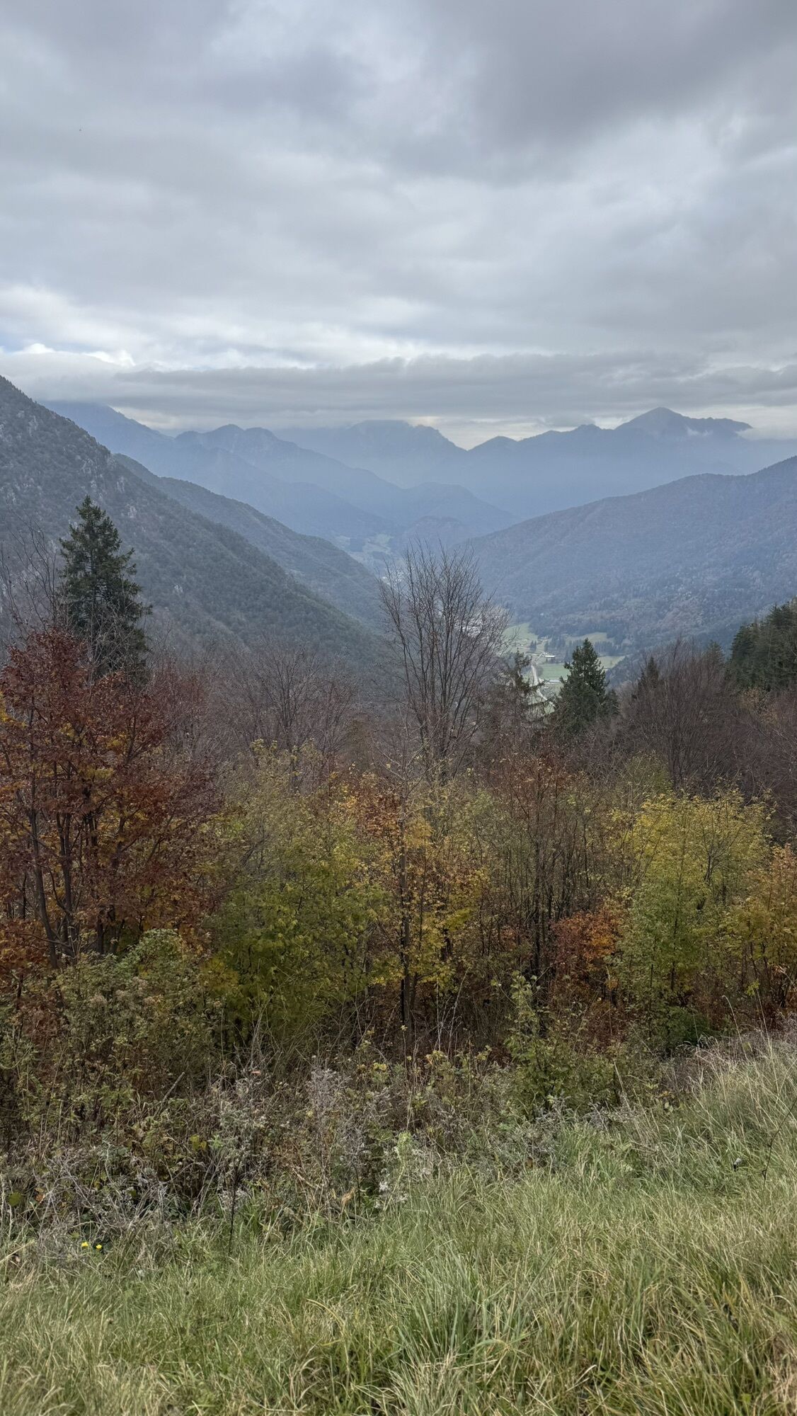
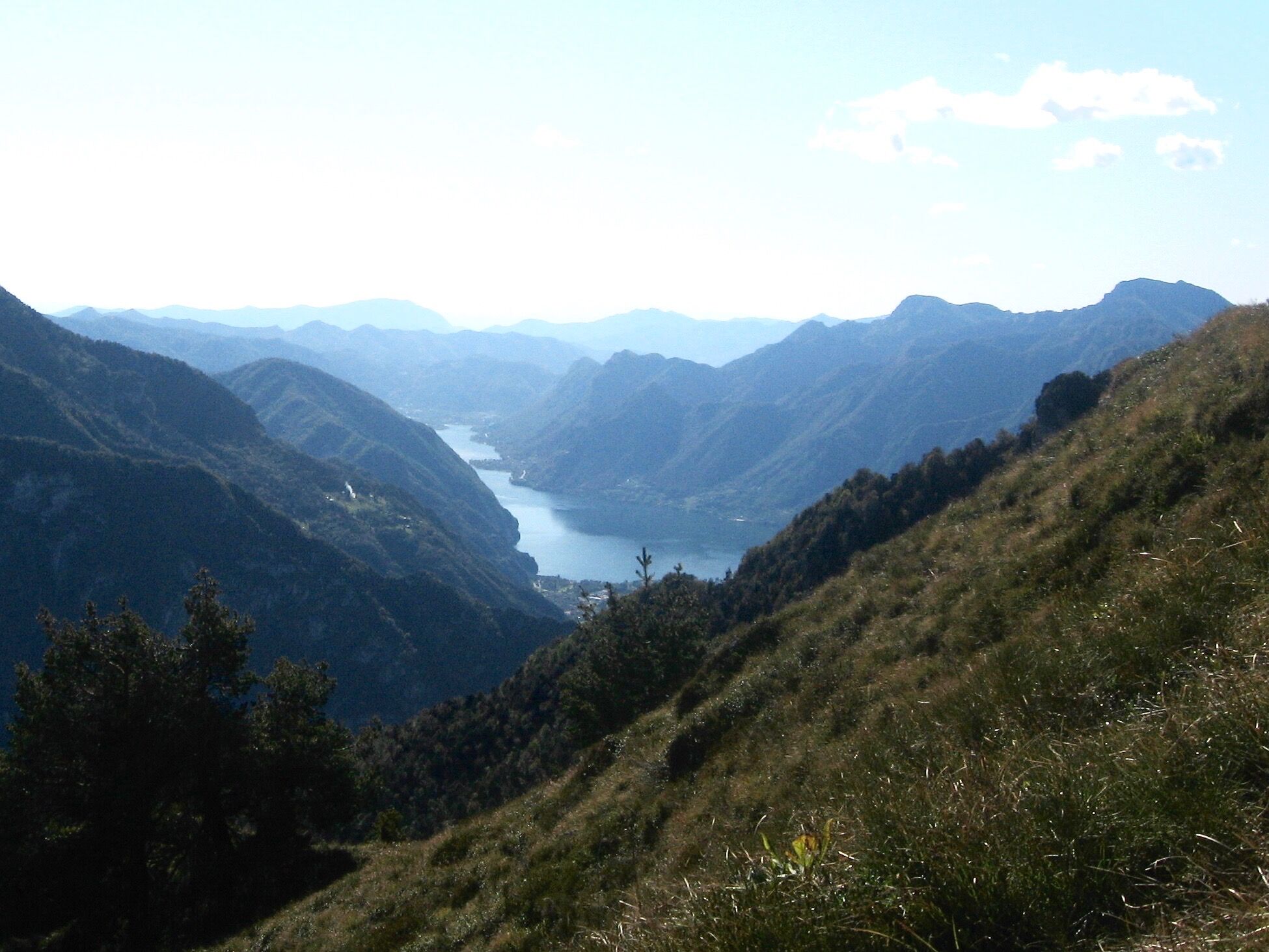
A hike on the western mountains of Valle di Ledro, from where the eye can roam over the Valle del Chiese and the summits, granite walls and majestic glaciers of the Adamello range. From Tiarno di Sopra...
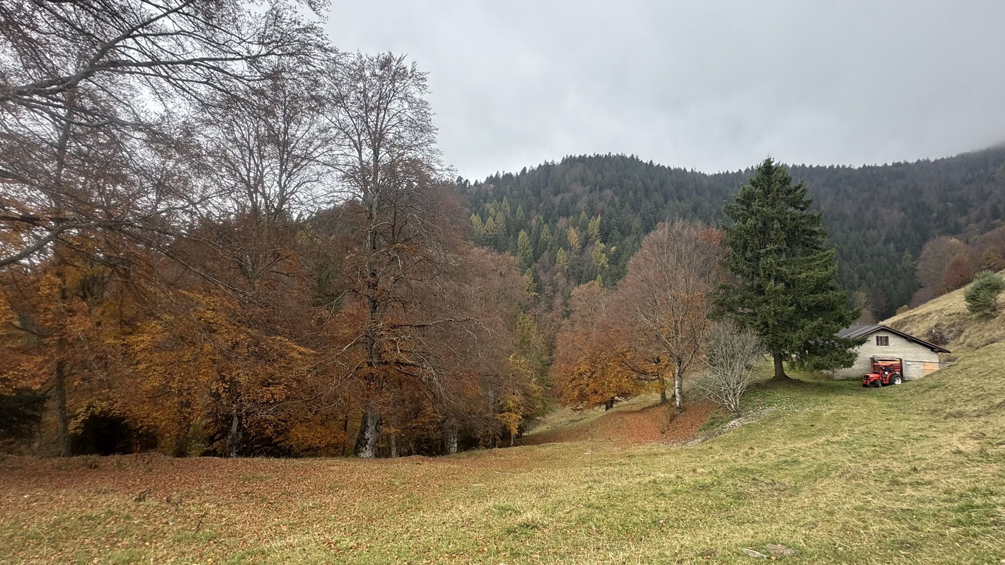
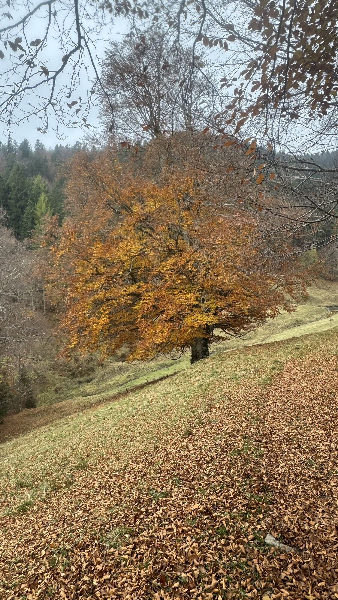
A hike on the western mountains of Valle di Ledro, from where the eye can roam over the Valle del Chiese and the summits, granite walls and majestic glaciers of the Adamello range. From Tiarno di Sopra we reach Monte Rango and start the descent towards Malga Stigolo, an enchanting spot for a picnic on the meadows near the small artificial lake. From the other end of the pasture, we follow the old mule track towards Lake Ampola, a natural reserve and a treasure of biodiversity.

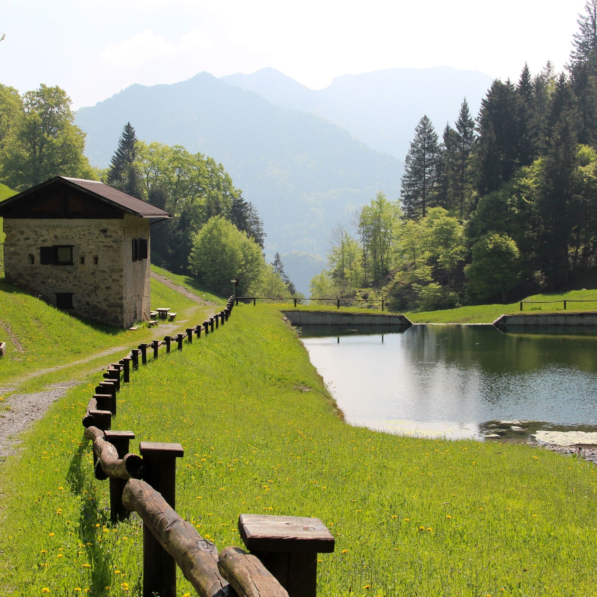
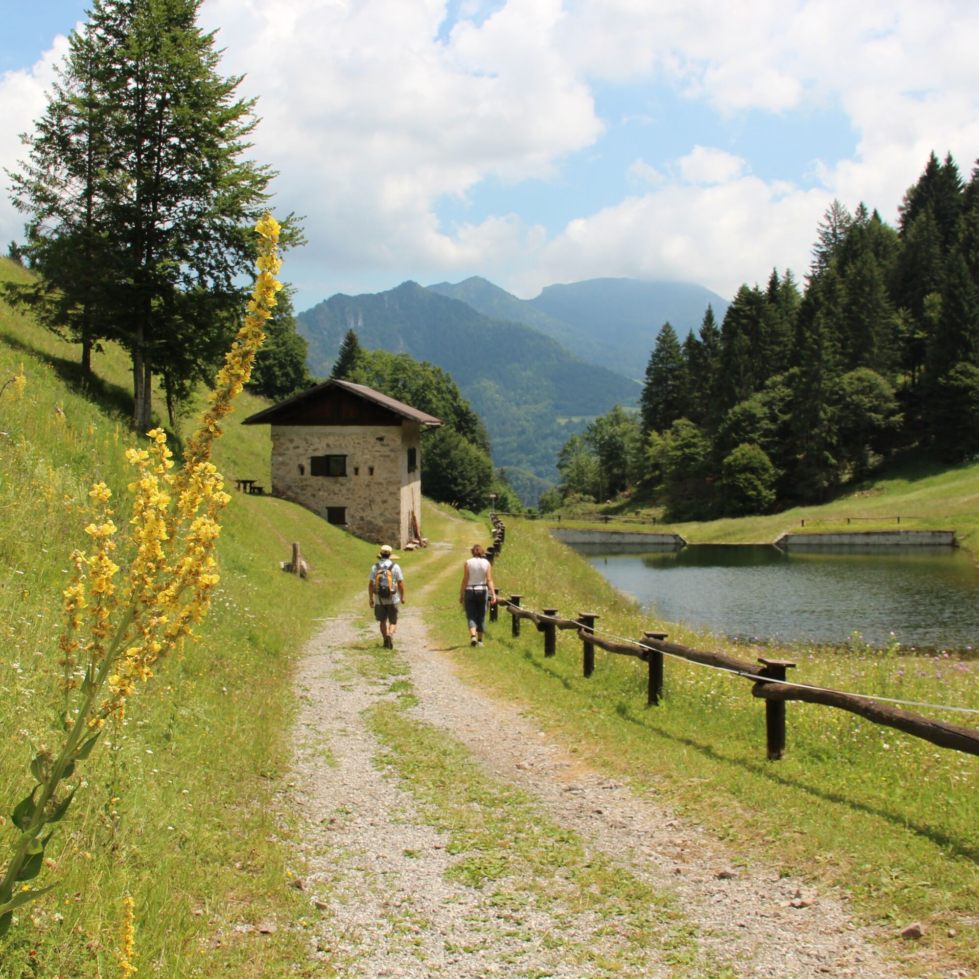
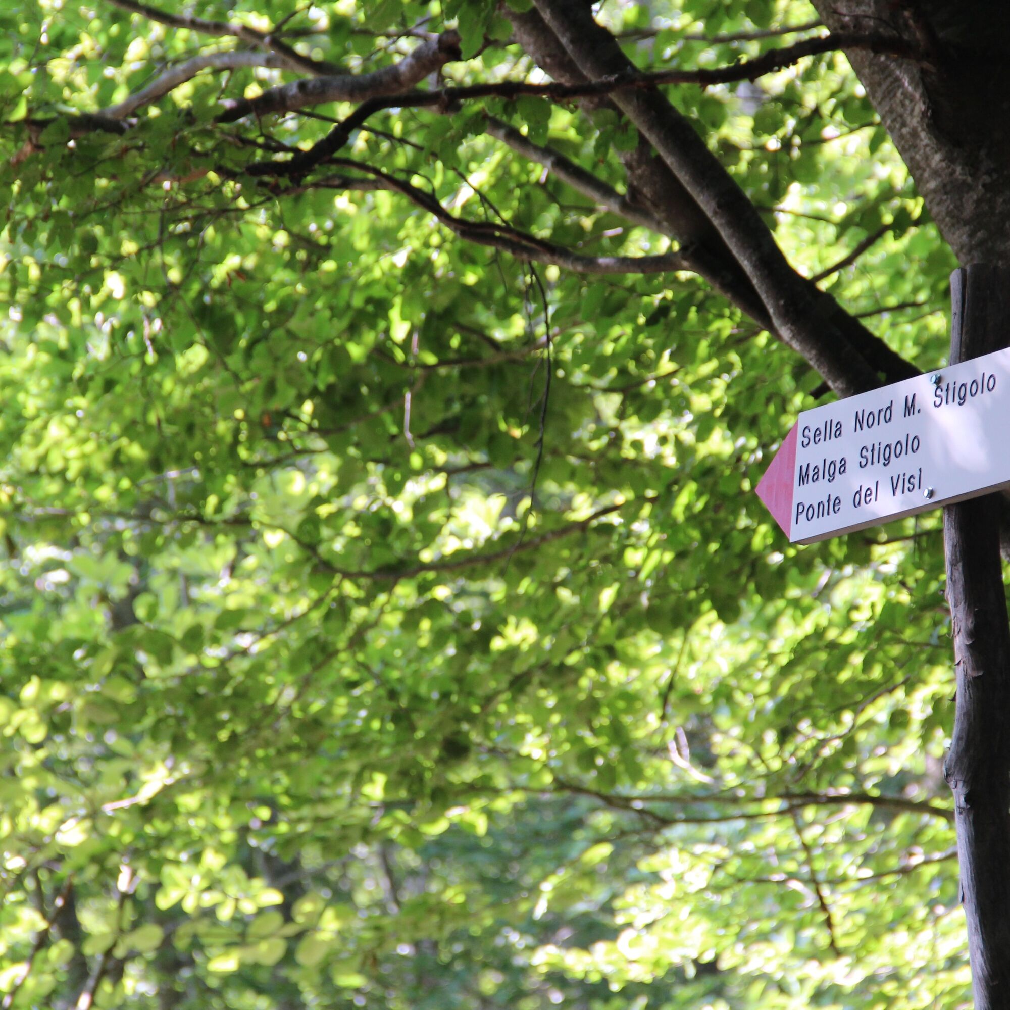
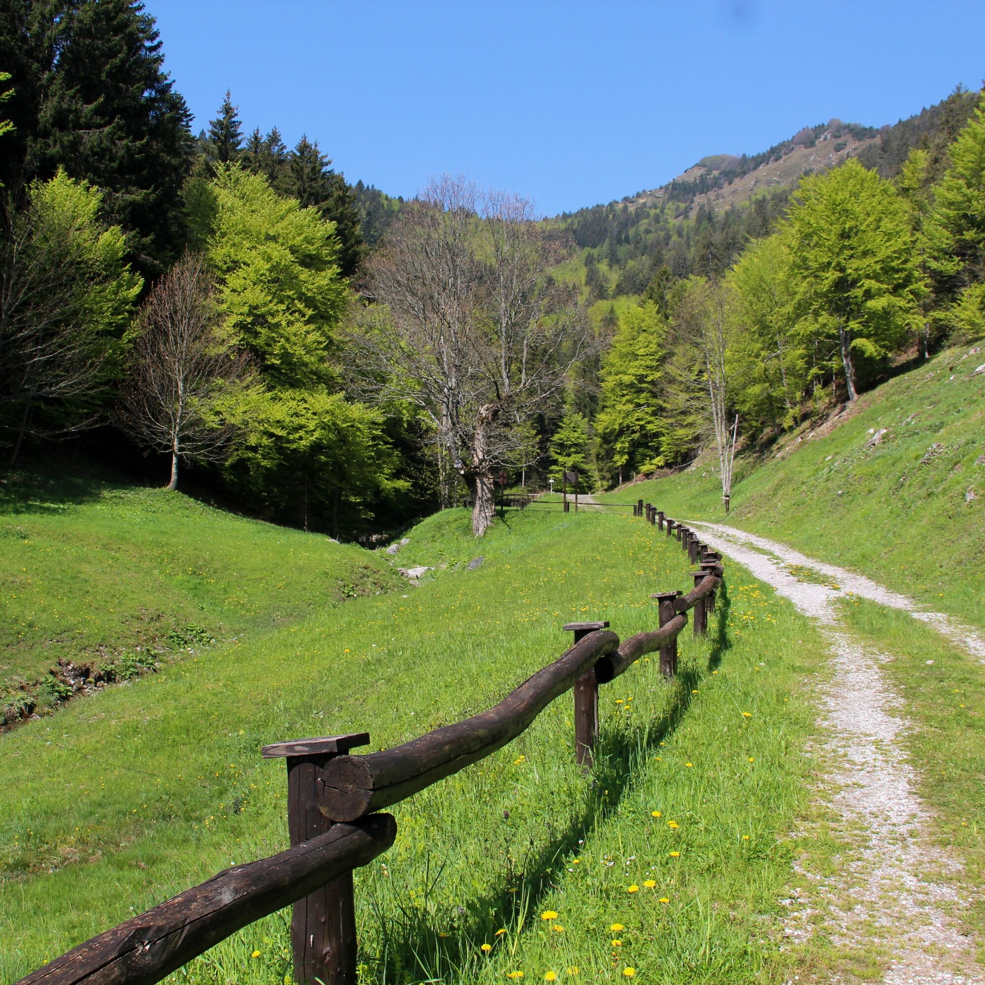
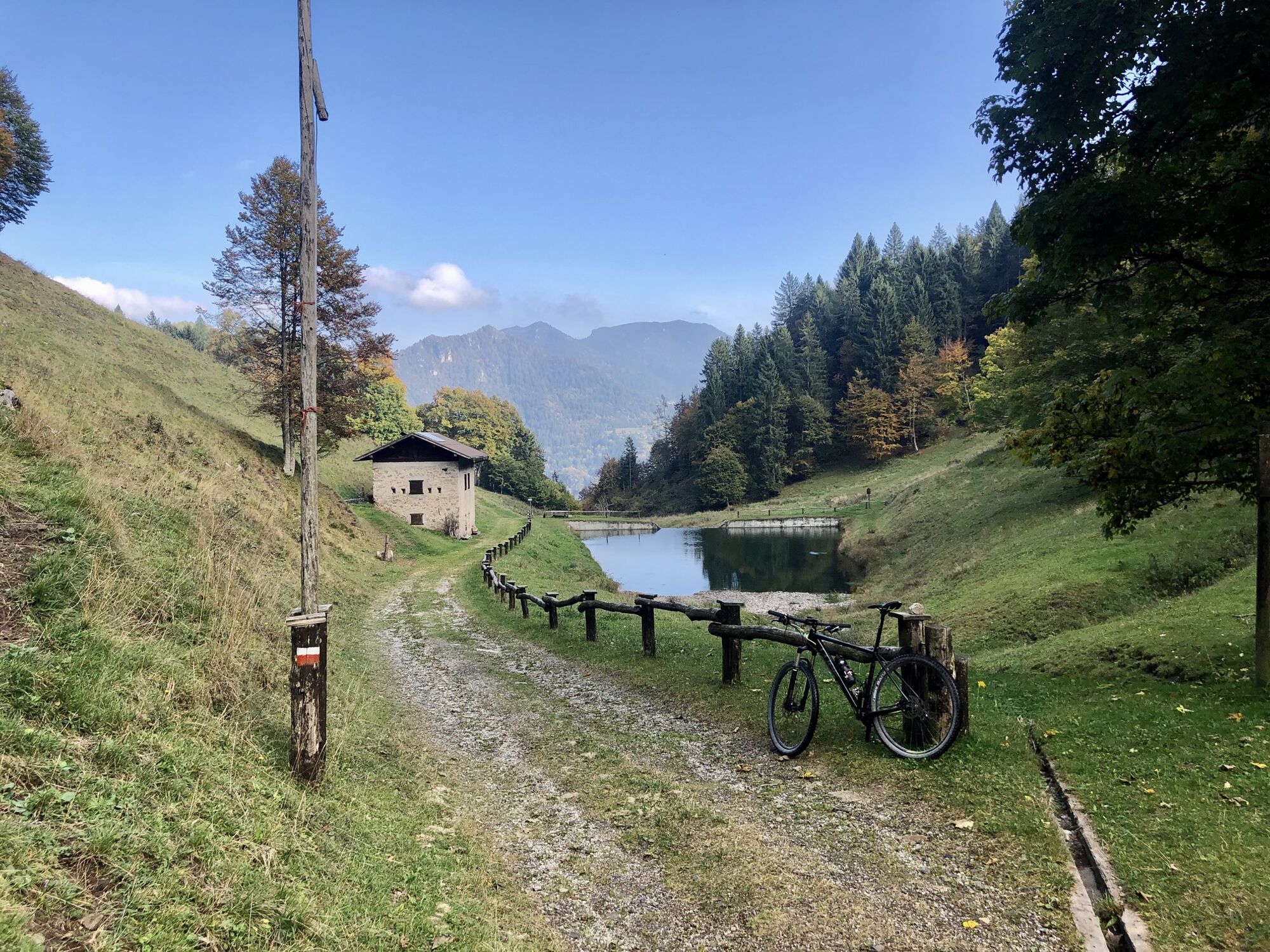

We take the SAT 458 path in Via Marconi near the church in Tiarno di Sopra, hike uphill through the Valle Sache to Giuf and further to Monte Rango. From here were begin the descent towards Malga Stigolo and its small artificial lake. From the malga we return to the valley floor along the SAT 458 which gradually turns into a dirt and then asphalt road before joining the main road (SS240). We cross the main road and follow the walking and cycling path back to Tiarno di Sopra.
You need to wear the right clothing and take the proper gear when you go hiking in the mountains. Even on relatively short easy outings make sure to take all you need so you don't run into trouble if things take an unexpected turn, for example a storm blows up or you have a sudden drop in energy levels.
What should you take when you go on a hike?
Your rucksack (for a day trip a 25/30L capacity should do) should contain:
water canteen (1L) snacks (e.g. mixed dried fruit or chocolate) First aid kit windproof jacket fleece change of t-shirt and socks (in a plastic bag) make sure to wear or at least bring a pair of long trousers hat sun screen sunglasses gloves whistle to attract attention in an emergencyMake sure you're wearing the right footwear for the trail and season. The going can get rough and rocky underfoot and a pair of hiking boots will protect you from sprains. When wet, a grassy slope, rocky slab or steep trail can be dangerous unless you are wearing the proper footwear.
And finally... don't forget to bring your camera! You'll need it to capture the stunning views you come across all over Garda Trentino. And if you like, you can share your memories with us at #GardaTrentino.
Emergency telephone number 112.
Safety Tips
Choose itineraries that suit your physical and technical abilities. Collect information about the area you are visiting and the trail’s conditions and get a detailed trekking map. Wear clothes and take equipment that suit the difficulty and length of your tour. Keep emergency gear in your rucksack, including first aid supplies. Do not go walking alone in the mountains. In any case, tell someone where you are going and report back on returning. Look at the weather forecast before setting off and always keep an eye on the weather. In case of doubt, go back. It is better to give up than risk bad weather or face difficulties beyond your strength, ability and equipment. Do not leave marked paths and do not take shortcuts. All described walks are in a natural environment and therefore their use is at your own risk.This information is subject to inevitable variations, so none of these indications are absolute. It is not entirely possible to avoid giving inexact or imprecise information, given how quickly environmental and weather conditions can change. For this reason, we decline any responsibility for changes which the user may encounter. In any case, it is advisable to check environment and weather conditions before setting out.
Motorway A22, exit Rovereto Sud - Lago di Garda. SS240 Val di Ledro road to Tiarno di Sopra.
Find out how to reach Garda Trentino.
Valle di Ledro is connected to Riva del Garda by the intercity bus line 214 (Riva-Valle di Ledro-Storo).
Parking in Piazza Regina Elena in Tiarno di Sopra.
For more information on routes, services (guides, mountain huts, shops etc.) and hiking friendly accommodation: Garda Trentino - +39 0464 554444
The Sentiero del Trocc provides an alternative route back to Tiarno di Sopra. The path unfolds among meadows and woods from the forestry road shortly before the Agritur Al Marter.
Oblíbené prohlídky v okolí
-
4.8
Bocca Fortini - Tour
heavyMountainbike 35.4 km -
4.5
Walking around Lake Ledro
světloTuristika 9.40 km -
4.4
Tremalzo Big - Tour
heavyMountainbike 45.6 km -
4.9
Riva del Garda nach Ledrosee und zurück
středníE-MTB 37.6 km -
4.8
Tremalzo Garda XXL - Tour
heavyMountainbike 66.6 km -
5.0
From Lake Garda to Lake Ledro via Ponale
heavyMountainbike 33.4 km -
4.8
Dalco
heavyTuristika 8.77 km -
4.6
Torbole, Ponale, Ledrosee, Pregasina, Torbole
středníE-MTB 47.7 km -
4.7
Dromaé - Cima d'Oro
středníTuristika 11.7 km -
4.8
Monte Bestone via Butterfly Trail
heavyTuristika 8.81 km
Pěší turistika a stopování


Nenechte si ujít nabídky a inspiraci pro vaši příští dovolenou
Vaše e-mailová adresa byl přidán do poštovního seznamu.





