







Translagorai - Stage 3

Úroveň obtížnosti: T3
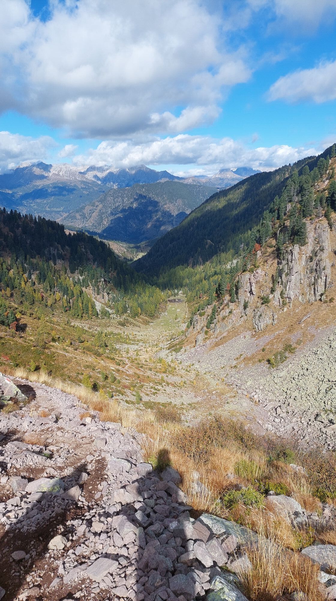
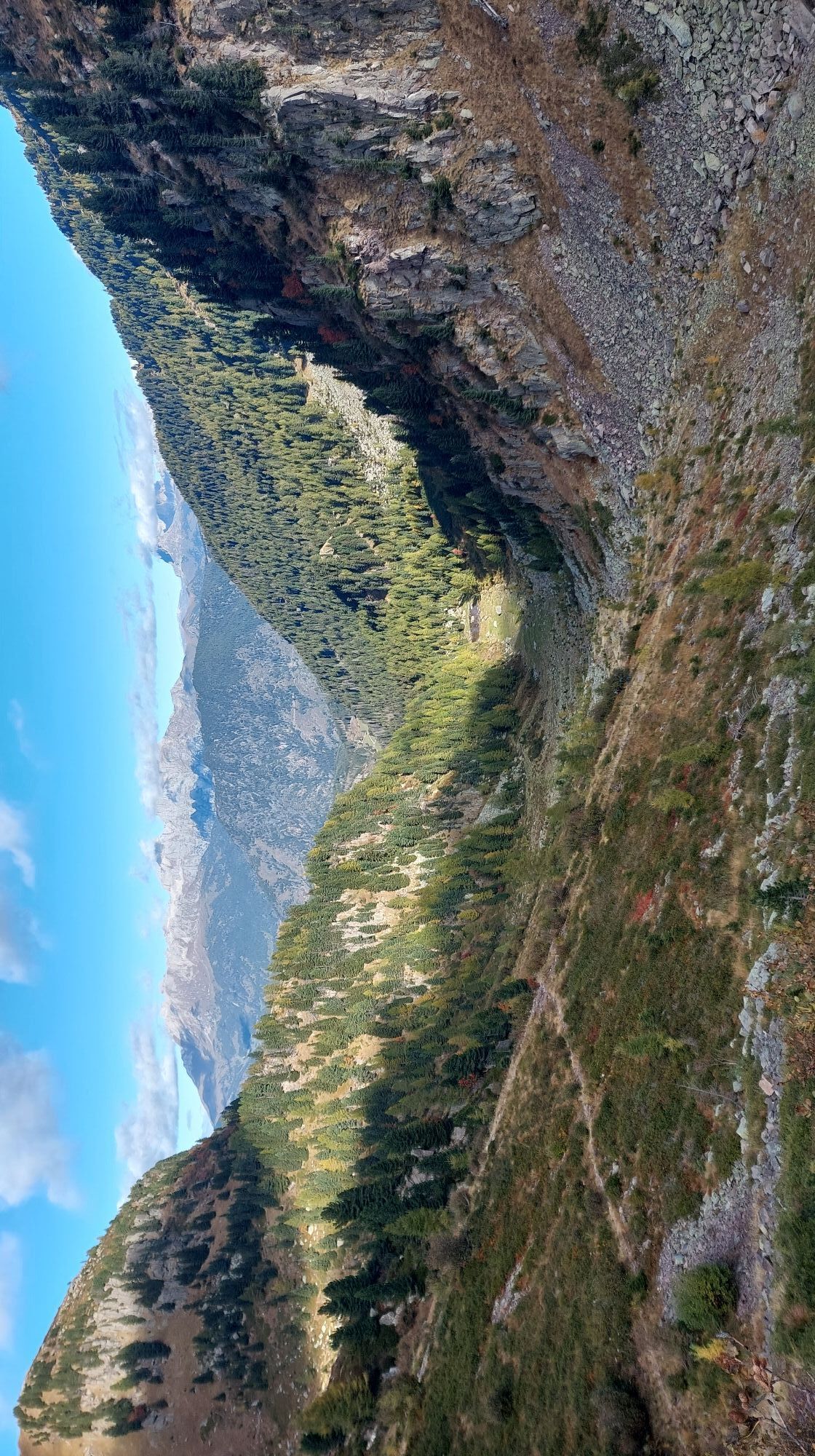
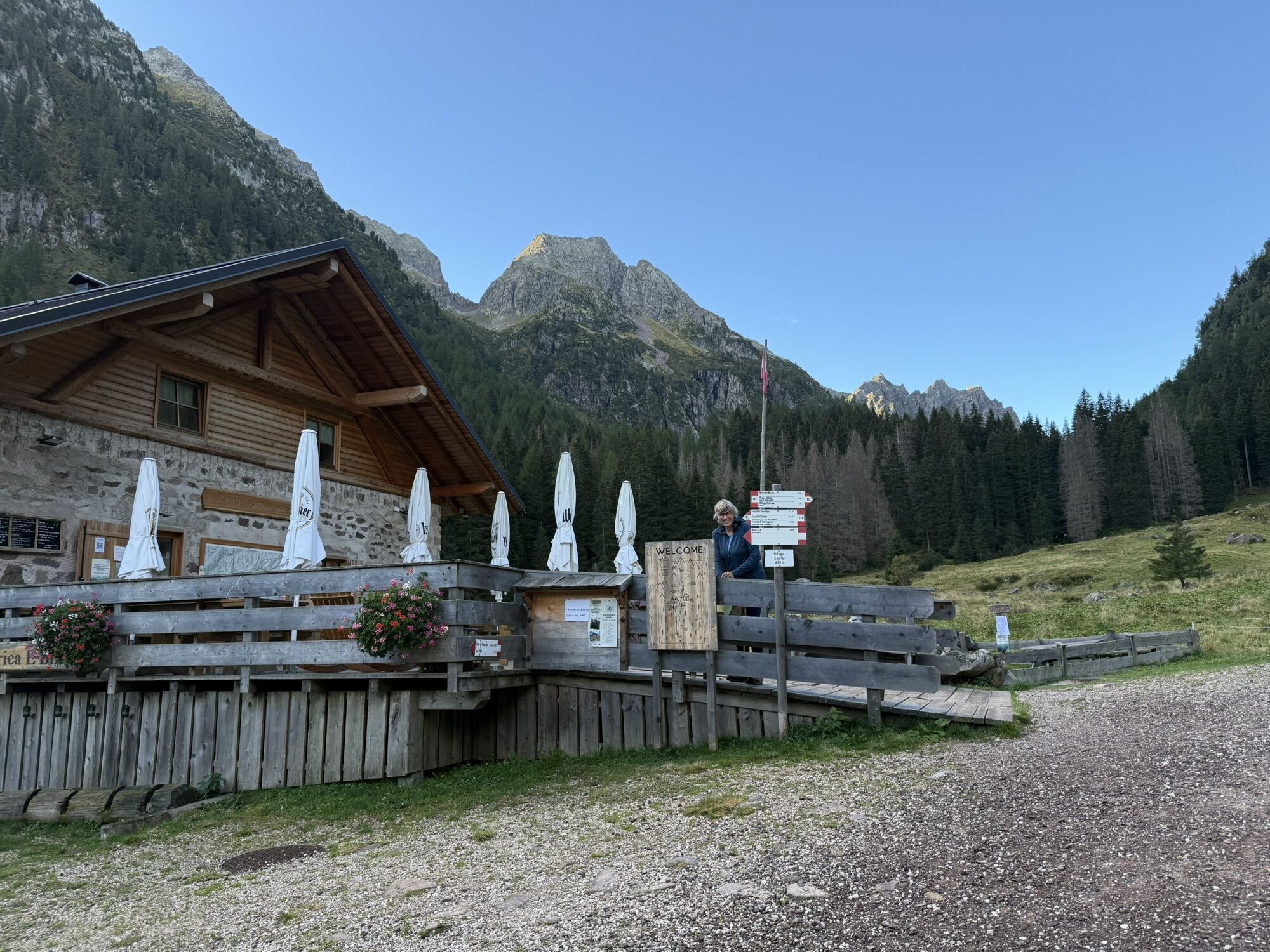
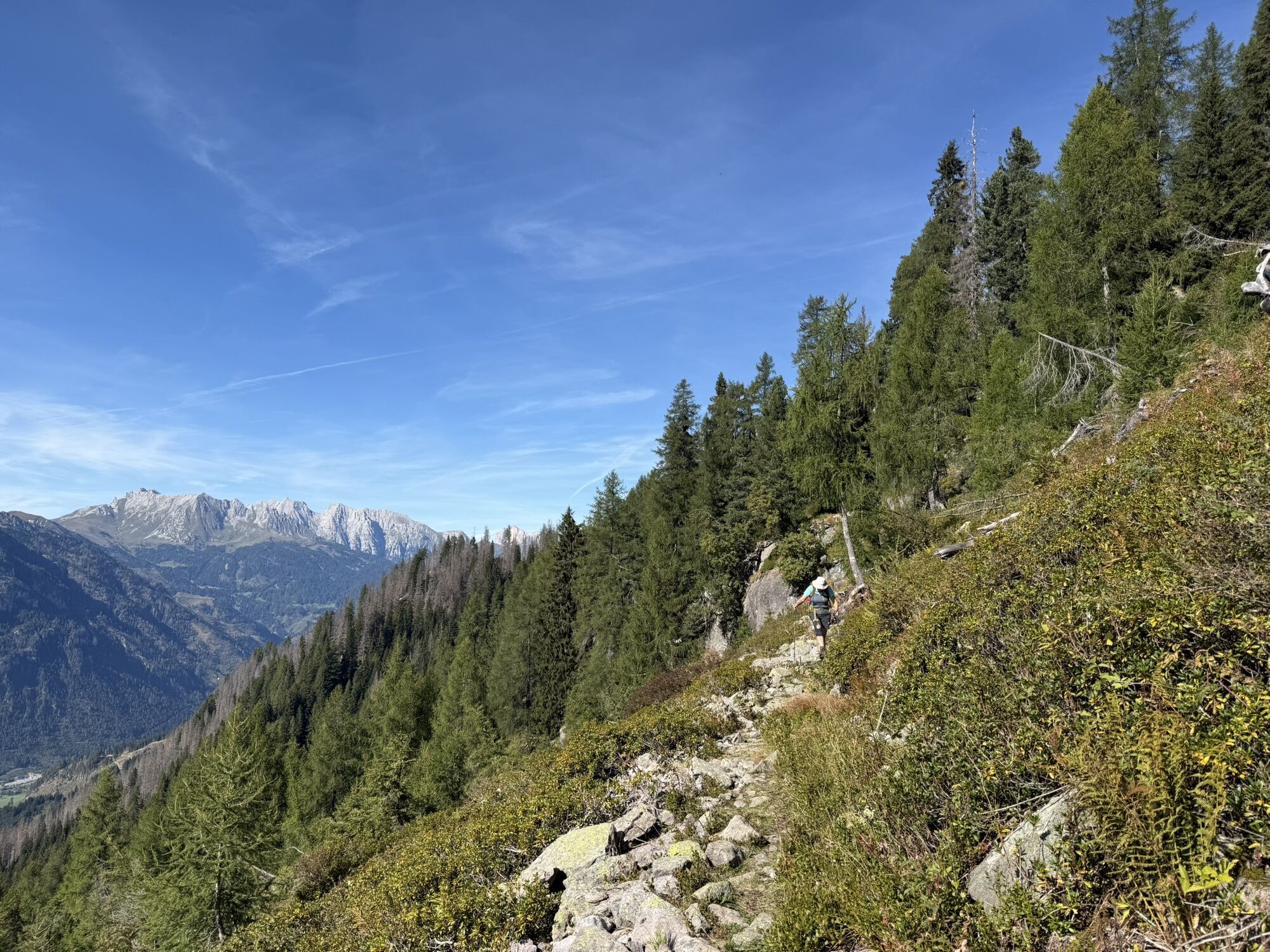

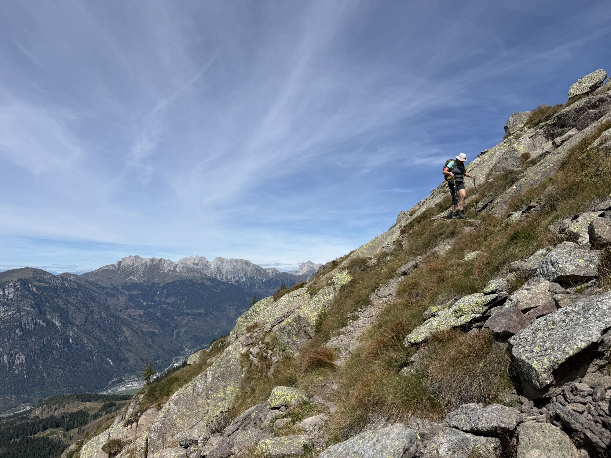
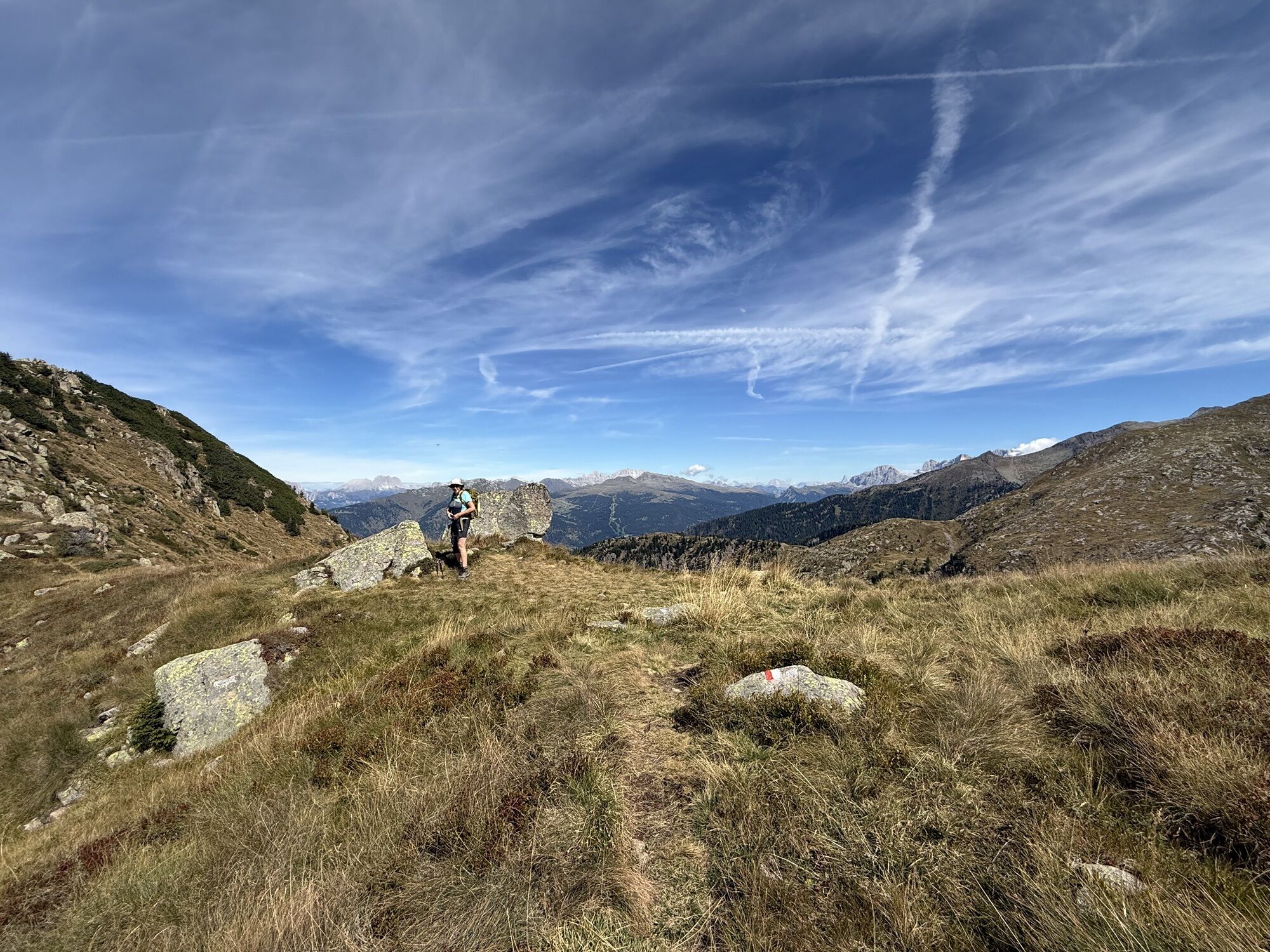
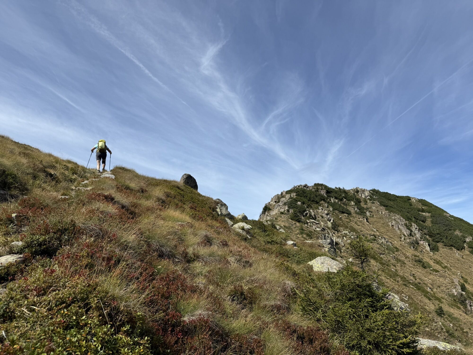
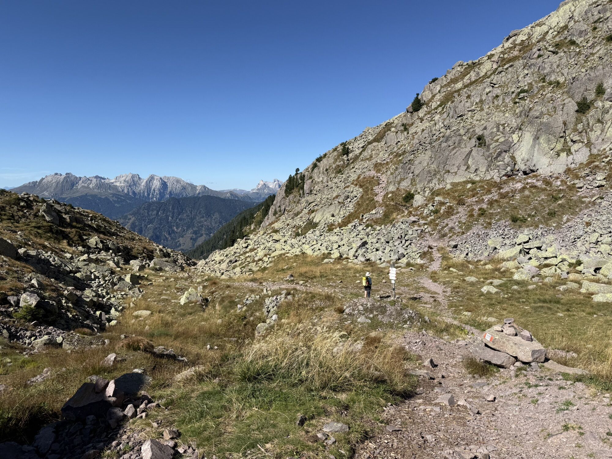
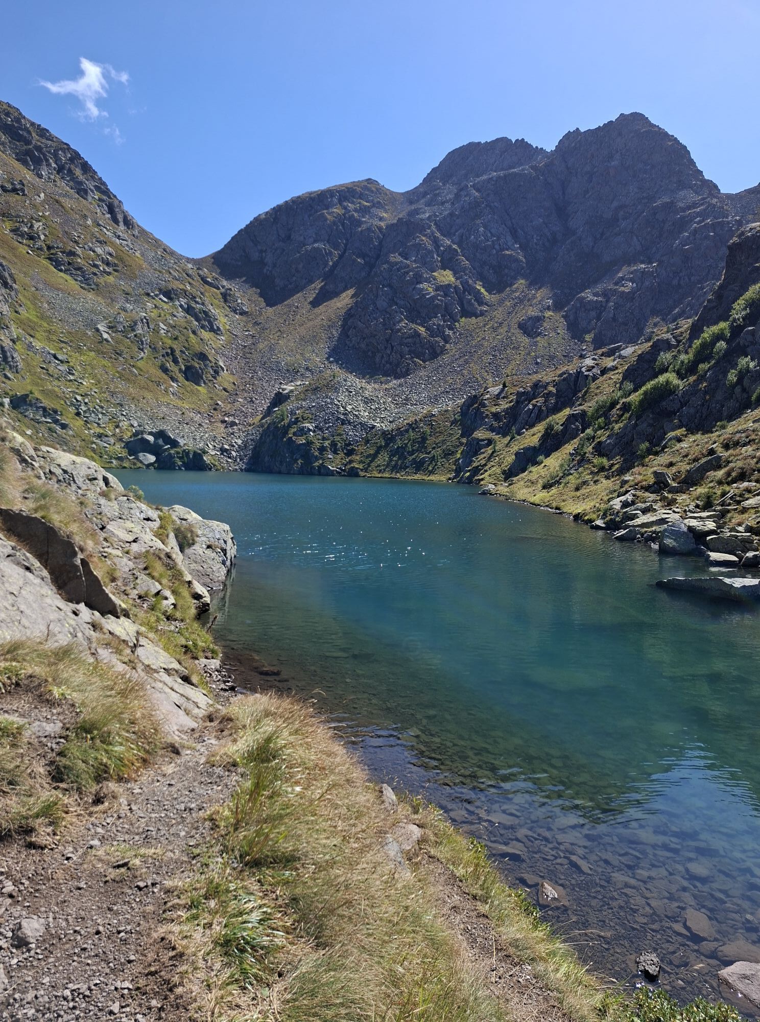
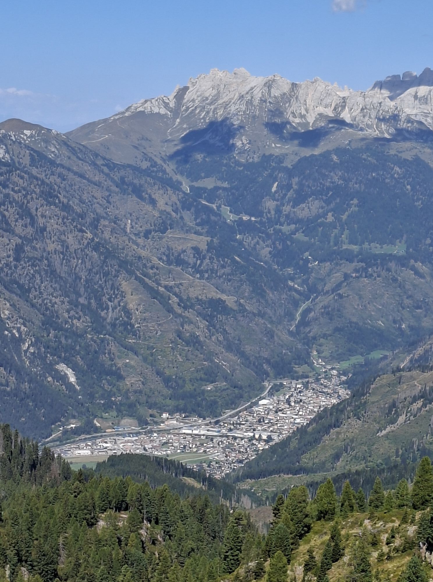
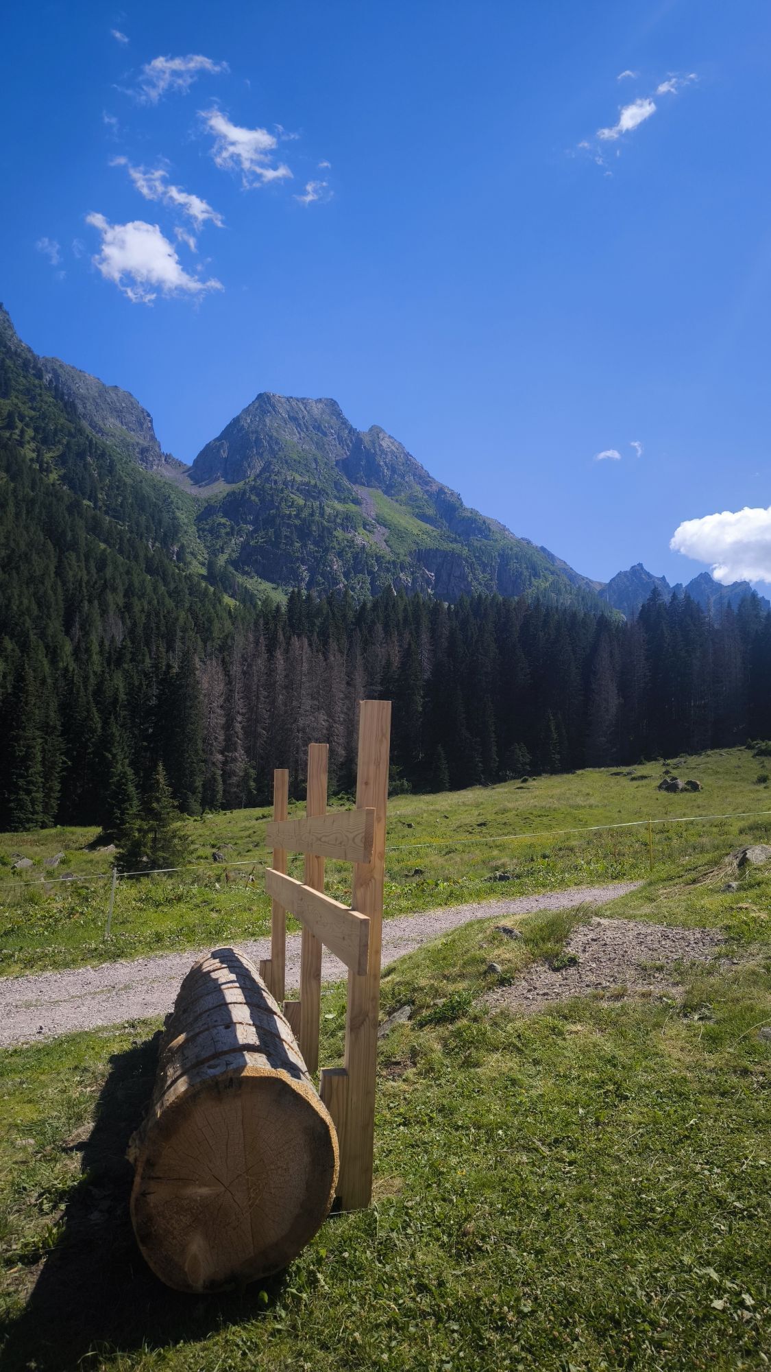
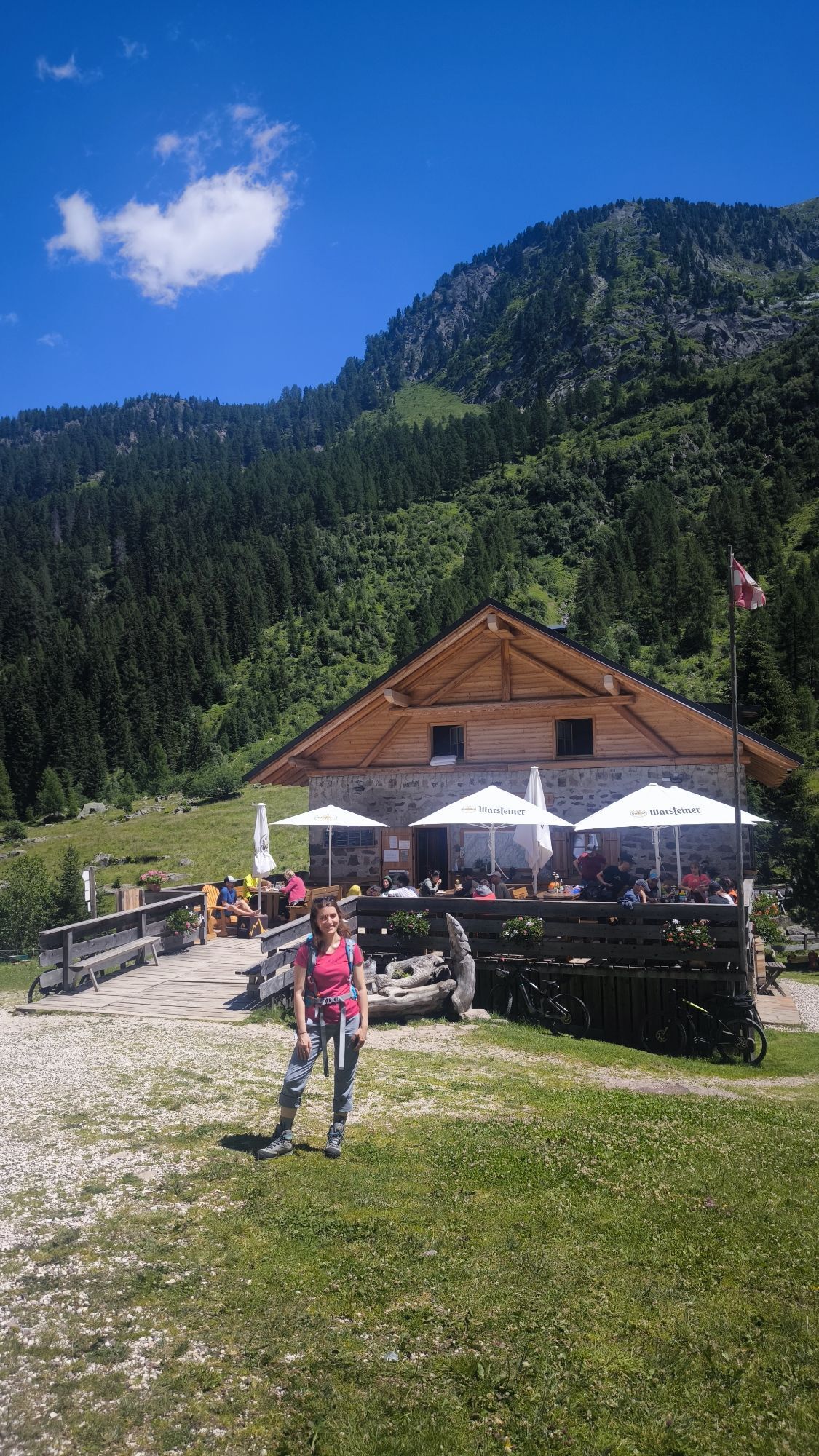

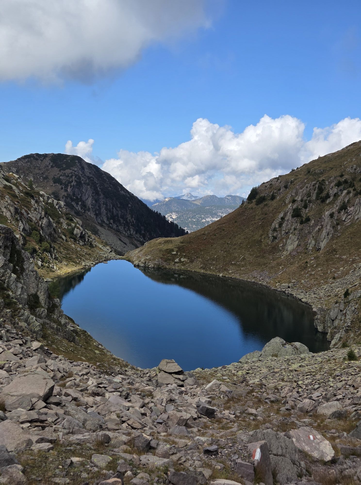

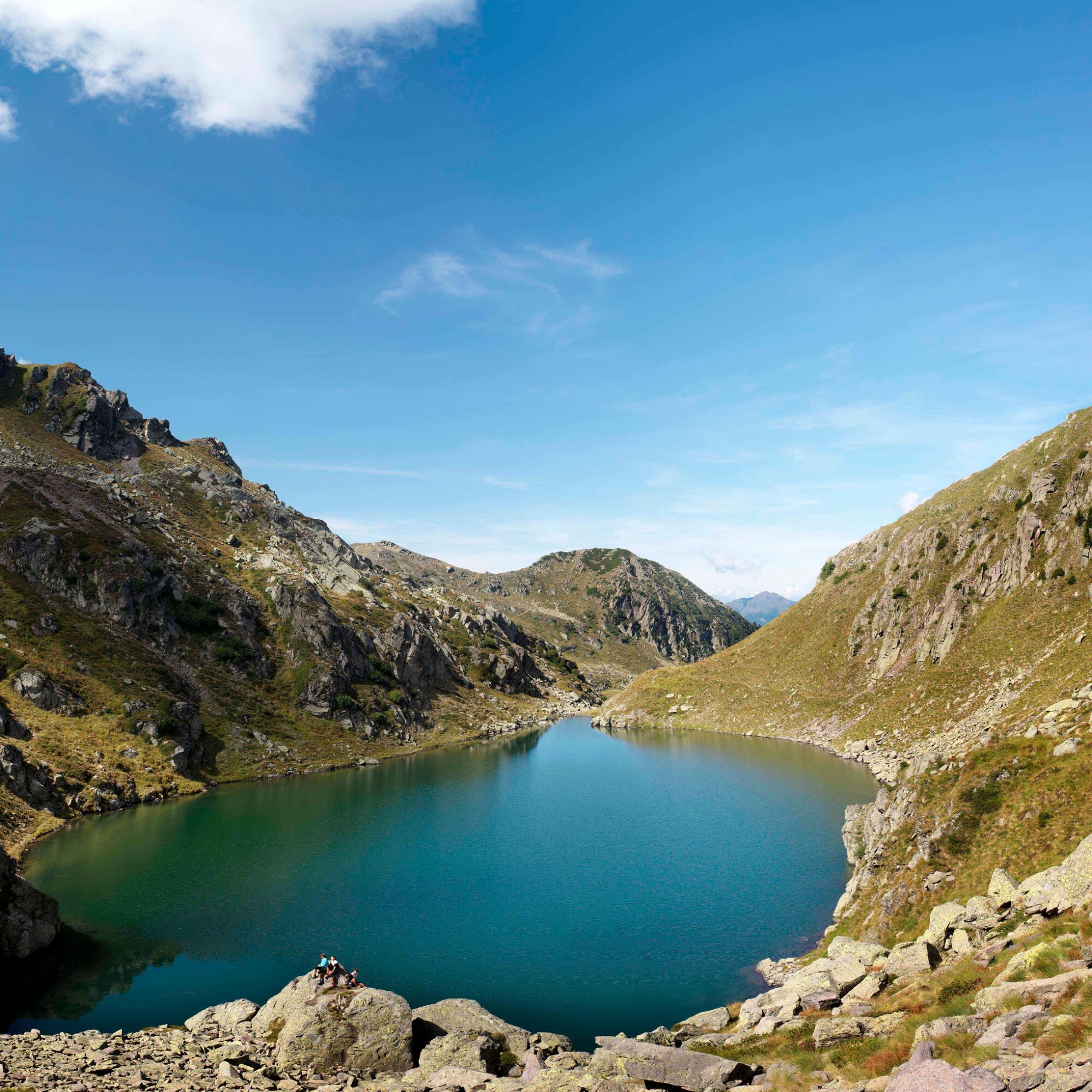
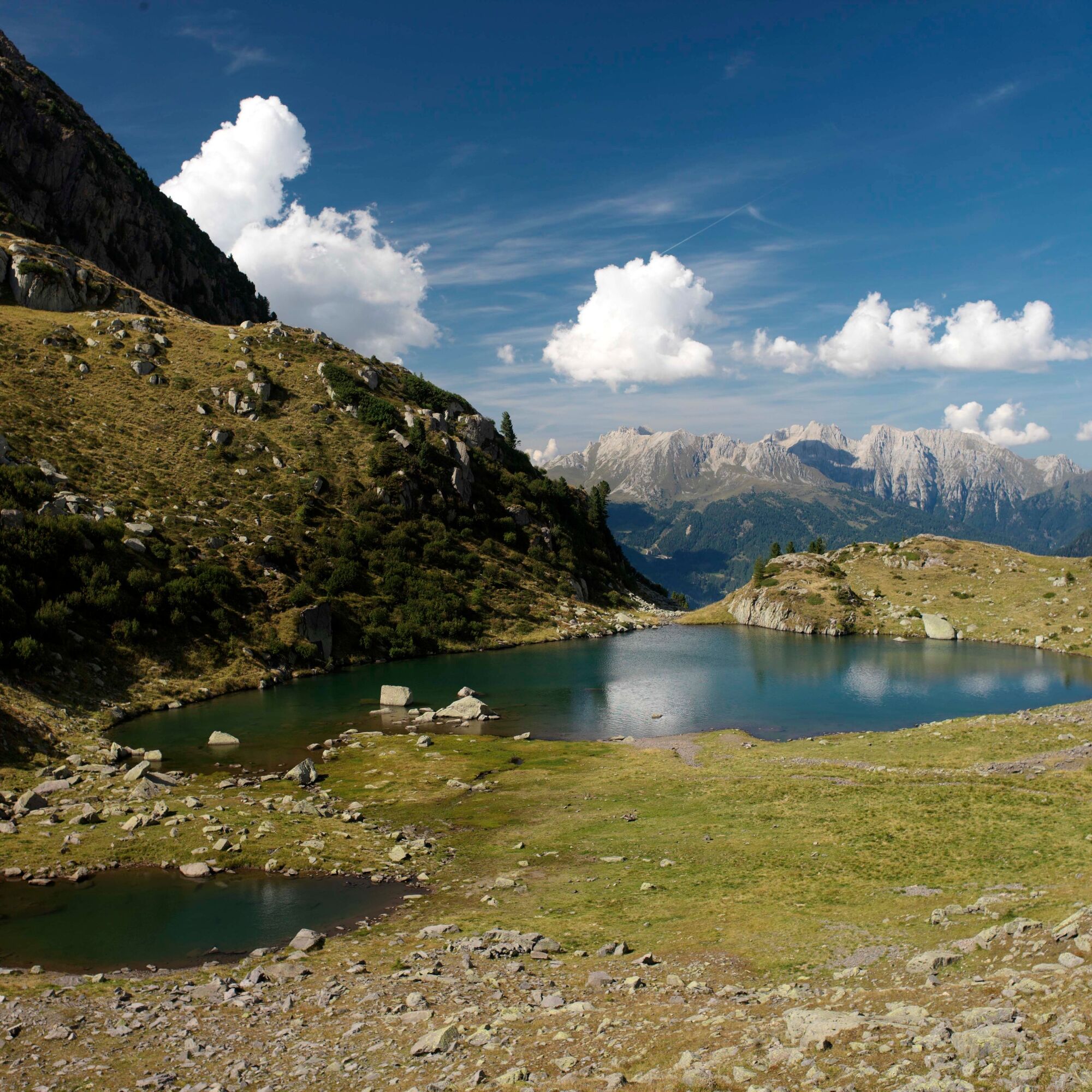
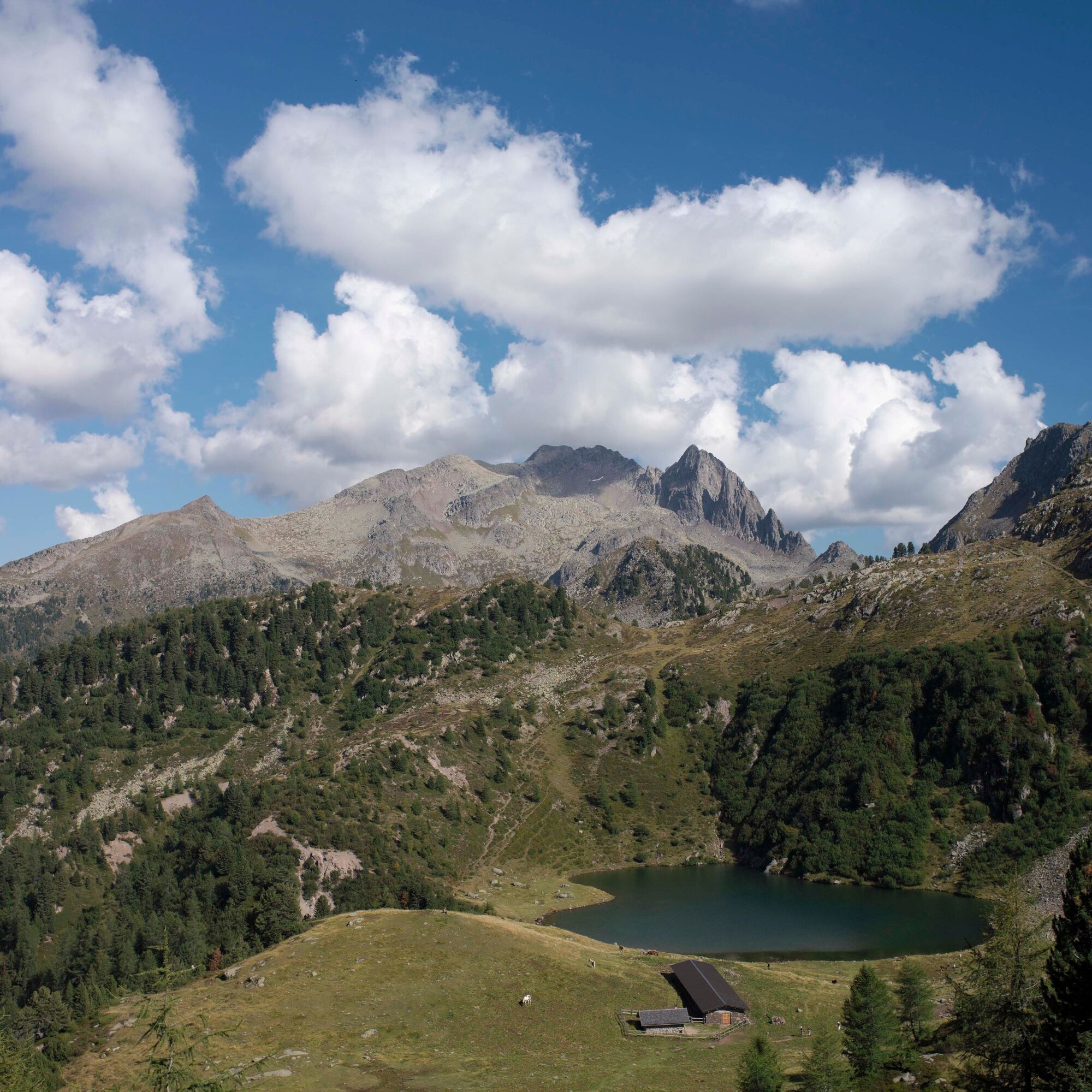
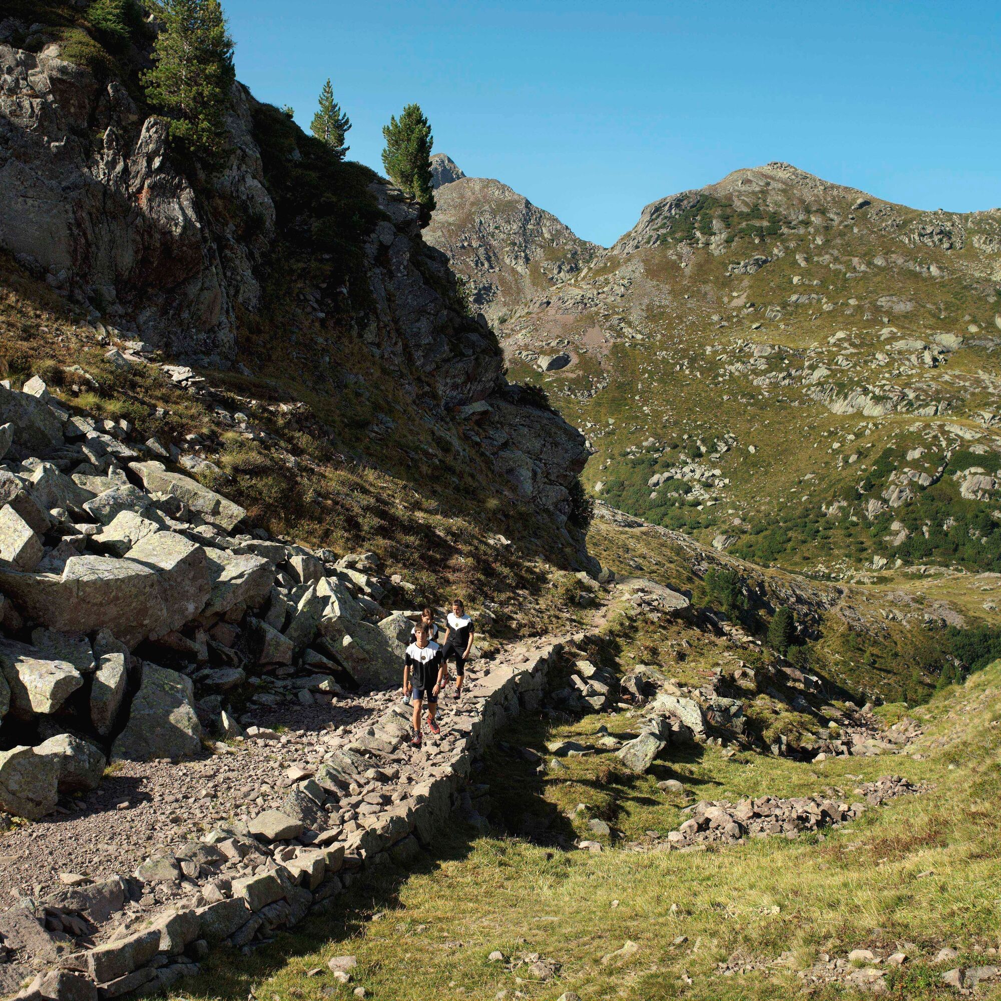

Departure from Rifugio Cauriol (1.600 metres a.s.l.) along path nr. 349 to reach Forcella Cadinon (2.300 m). Proceed along trail nr. 339 down to Forcella Coldosè (2.182 m). Possibility of overnight stay at the Coldosè bivouac, reachable from the saddle in 10 minutes. The bivouac has 10 beds, drinking water is a few meters away. Frome there take paths nr. 339 + 349 until you reach Lake Brutto (2.207 m) and Forcella Coltorondo (2.397 m). Follow trail nr. 349 down to Bivacco Paolo & Nicola, located at the Forcella di Valmaggiore (2,.80 m).
You can spend the night at the bivouac Paolo & Nicola (8-10 beds). Drinking water available nearby.
WARNING! Aldo Moro bivouac is not accessible from 08 August 2025 due to renovation work on the bivouac. Plan your tour accordingly.
Ano
Hiking shoes, rain-jacket, hiking poles, water, snack, sun cream, food, tent and sleeping bag.
THE 10 RULES FOR HIKERS
Prepare your itinerary beforehand Choose an itinerary that suits your physical abilities Choose suitable clothes and equipment Check the weather forecast Hiking by yourself is more risky; if this is the case, take a mobile phone with you Leave information about your itinerary and your expected return time If you are not sure about your itinerary, contact an Alpine Guide Pay attention to signposts and directions that you find along your way Do not hesitate in going back if you feel too tired In case of emergency call 112Please note that the practicability of the itineraries in a mountain environment is strictly linked to the contingent conditions and is therefore influenced by natural phenomena, environmental changes and weather conditions. For this reason, the information contained in this page may have changed. Before leaving for a tour, make sure the path you will approach is still accessible by contacting the owner of the mountain hut, the alpine guides or the visitor centres of the nature parks, the info offices of the local tourist board.
T3
MORE INFO:
APT Val di Fiemme - Tel. +39 0462 241111 - info@visitfiemme.it - www.visitfiemme.it

Oblíbené prohlídky v okolí
- 4.9
Torre di Pisa mountain hut
středníTuristika 9.09 km - 4.5
Cavallazza Peak
středníTuristika 7.82 km - 5.0
Latemar Umrundung - die Kurze und Bequeme
středníTuristika 12.1 km - 4.9
Latemar.Panorama
světloTematická stezka 7.83 km - 4.8
Tour of Monte Cornon
středníTuristika 7.65 km - 4.8
Latemar Panorama
středníTuristika 11.7 km - 4.9
Cima d’Asta (vetta via normale)
středníTuristika 17.5 km - 4.2
The three lakes
středníTuristika 11.1 km - 4.5
Tour of Lusia Lakes
středníTuristika 13.0 km - 2.8
Wanderung zur Latemarhütte
středníTuristika 7 km
Pěší turistika a stopování


Nenechte si ujít nabídky a inspiraci pro vaši příští dovolenou
Vaše e-mailová adresa byl přidán do poštovního seznamu.





