


Ciampedie Tour
Úroveň obtížnosti: WT1


When you board the cable car in Vigo, you wouldn't expect that just a few minutes later you’ll find yourself in an enchanted basin - as wide as a plateau, bathed in sunlight and sheltered by woodland....
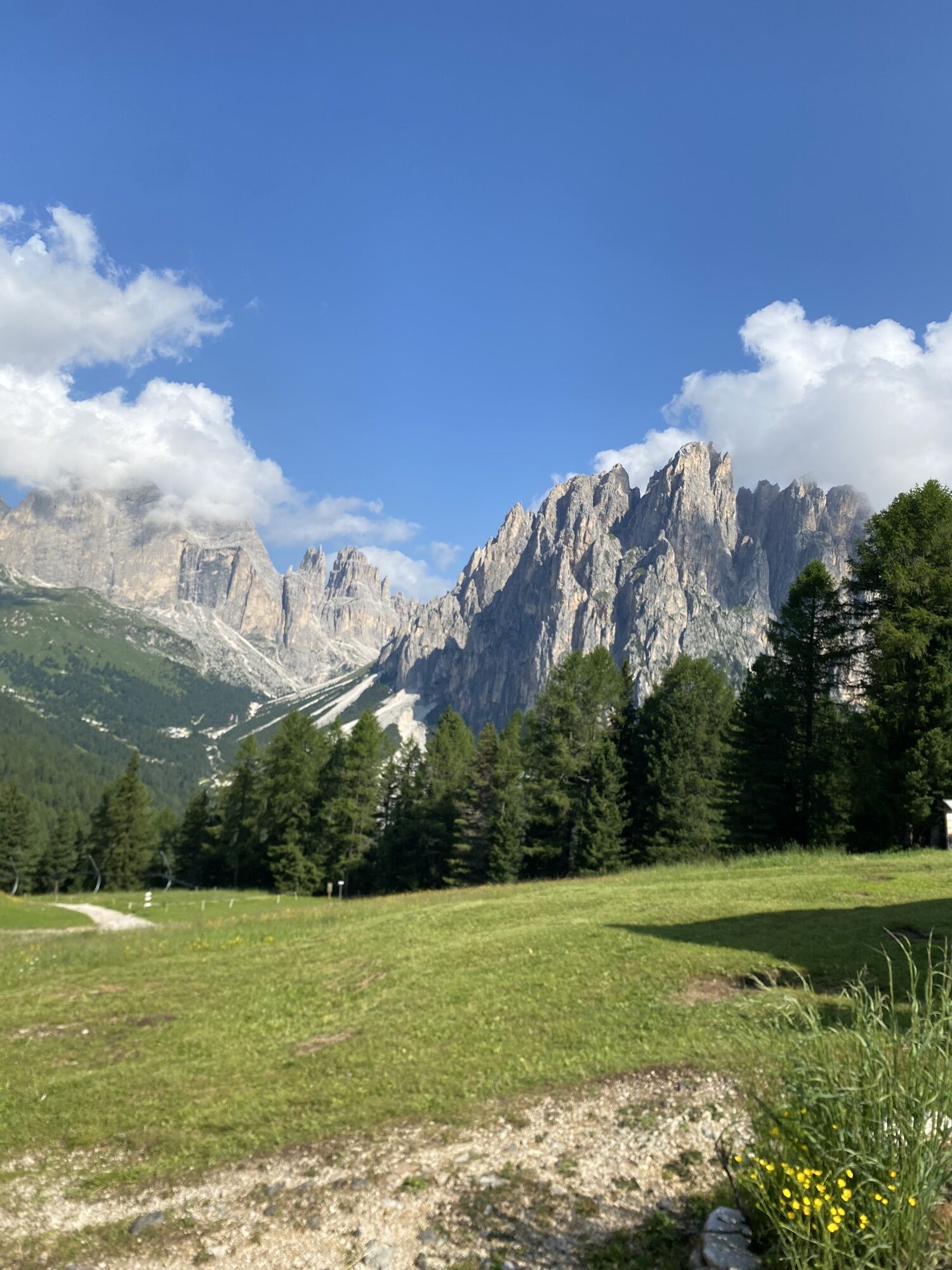
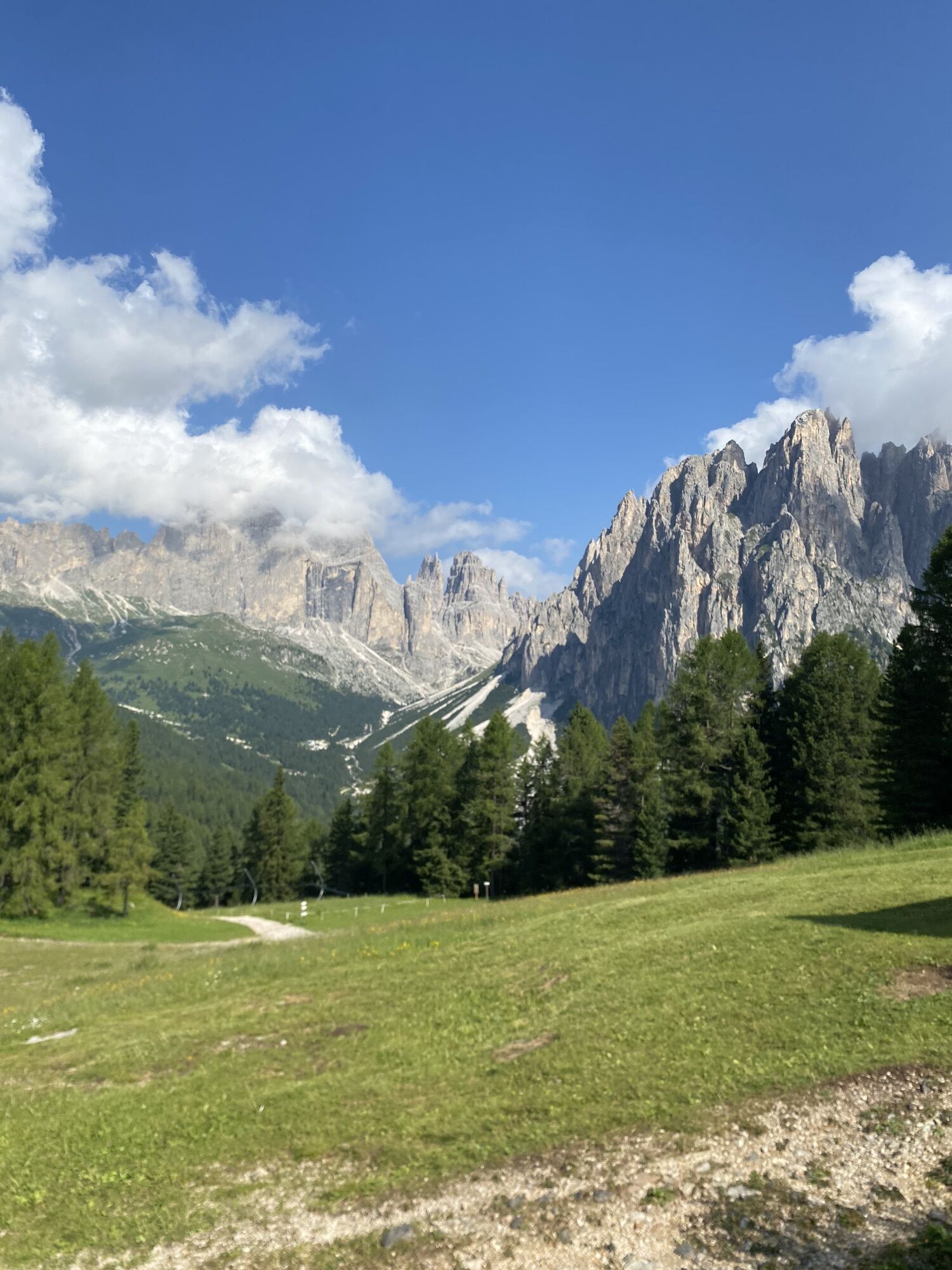
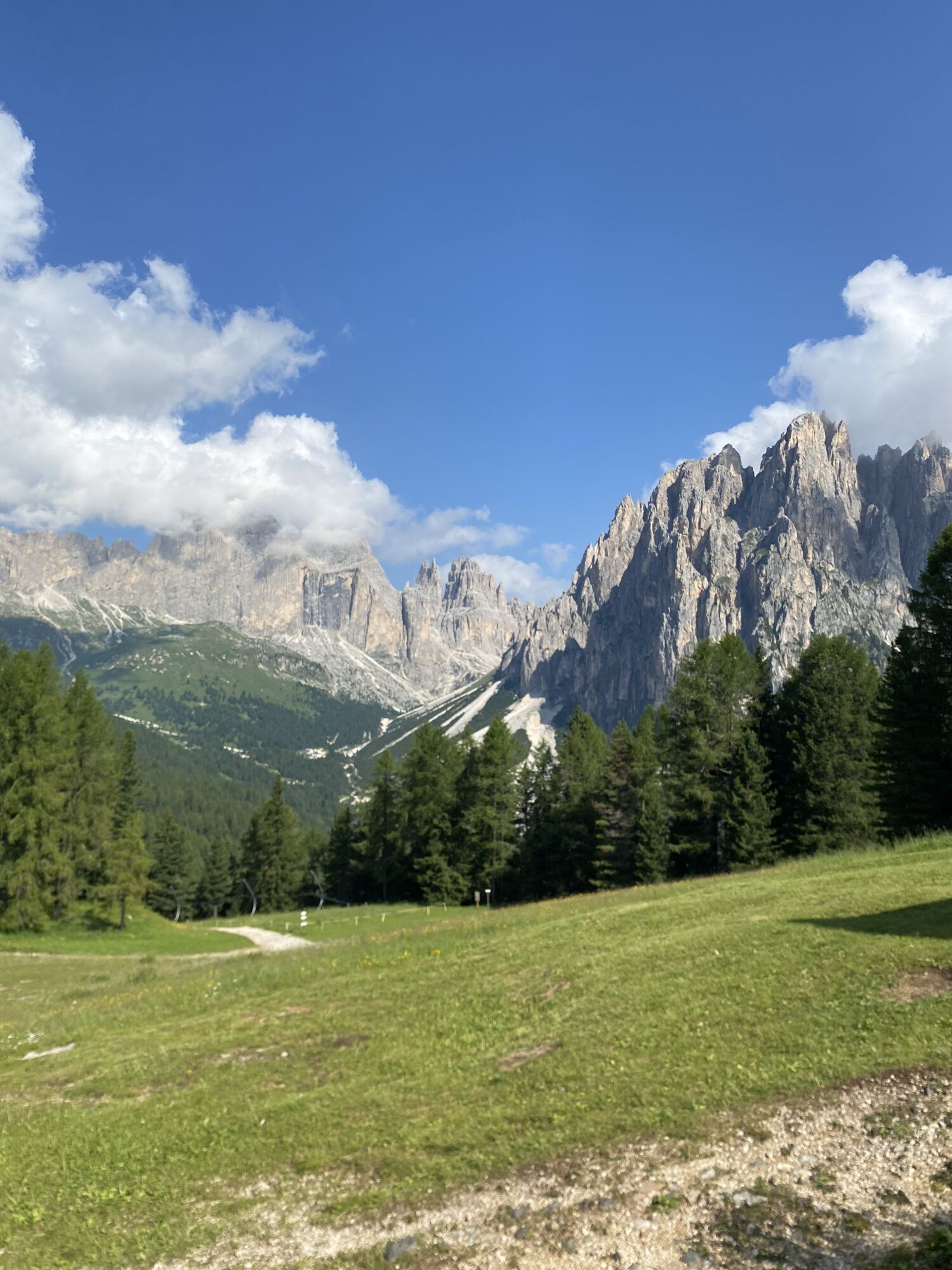
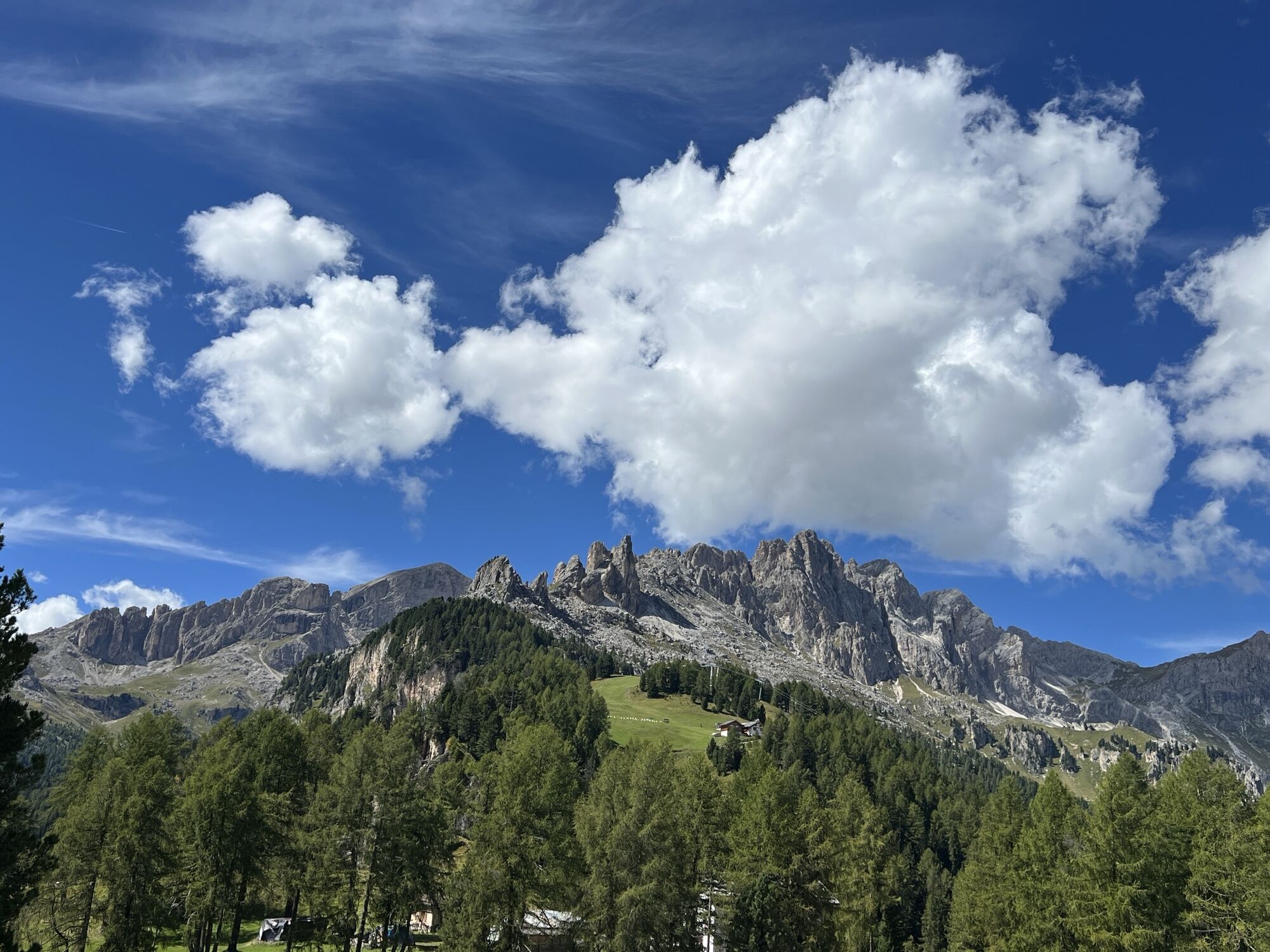
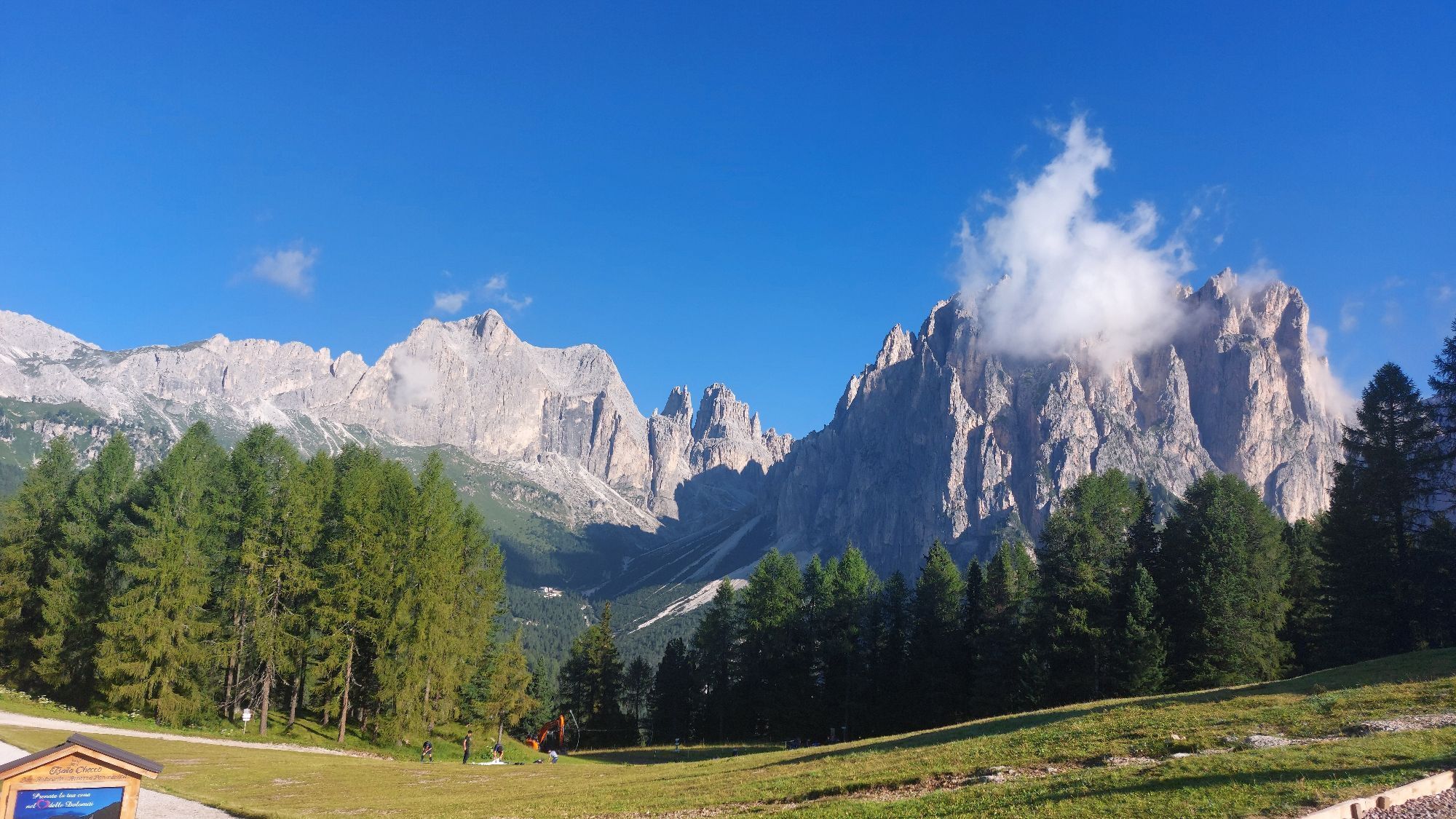
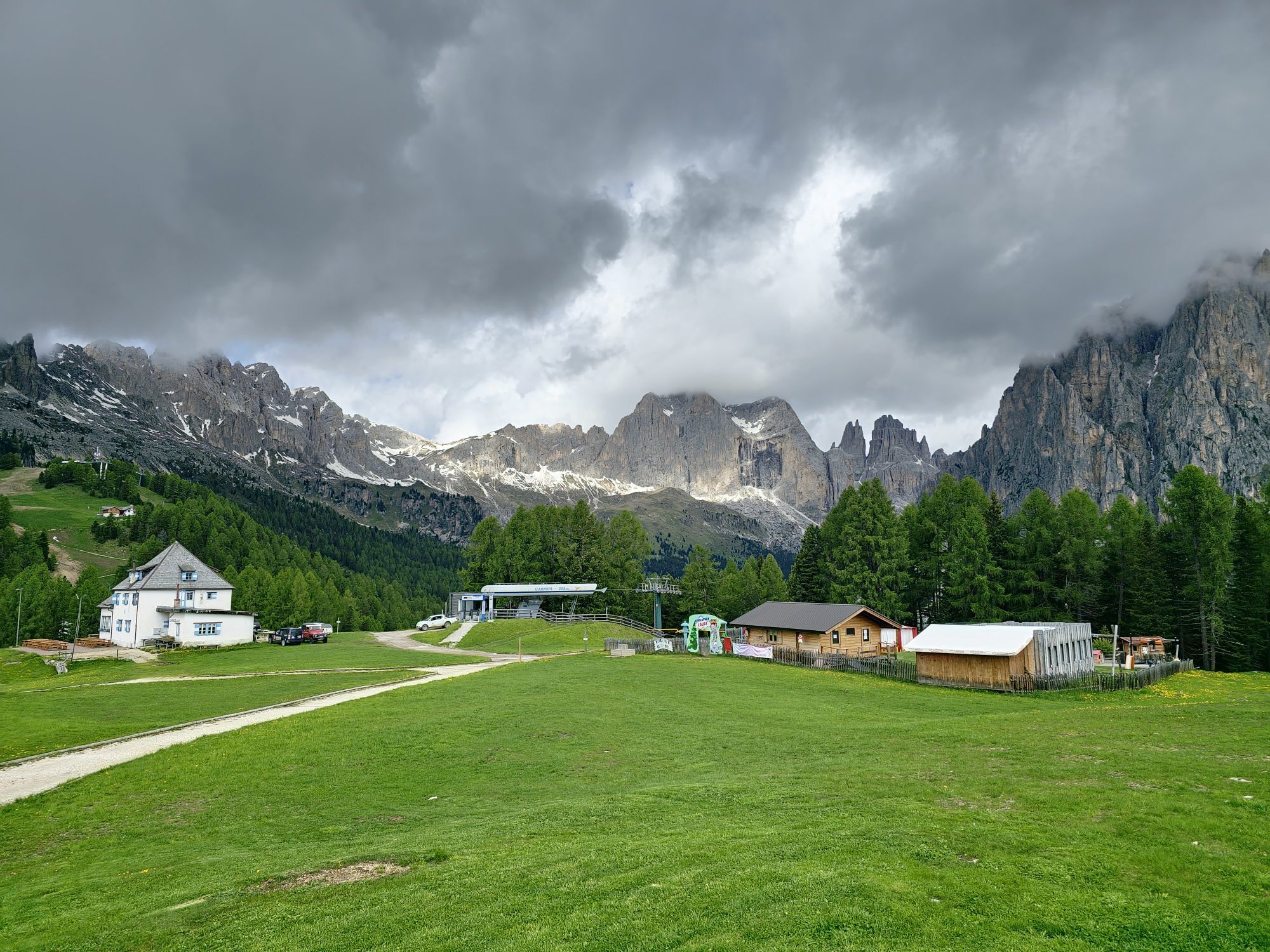
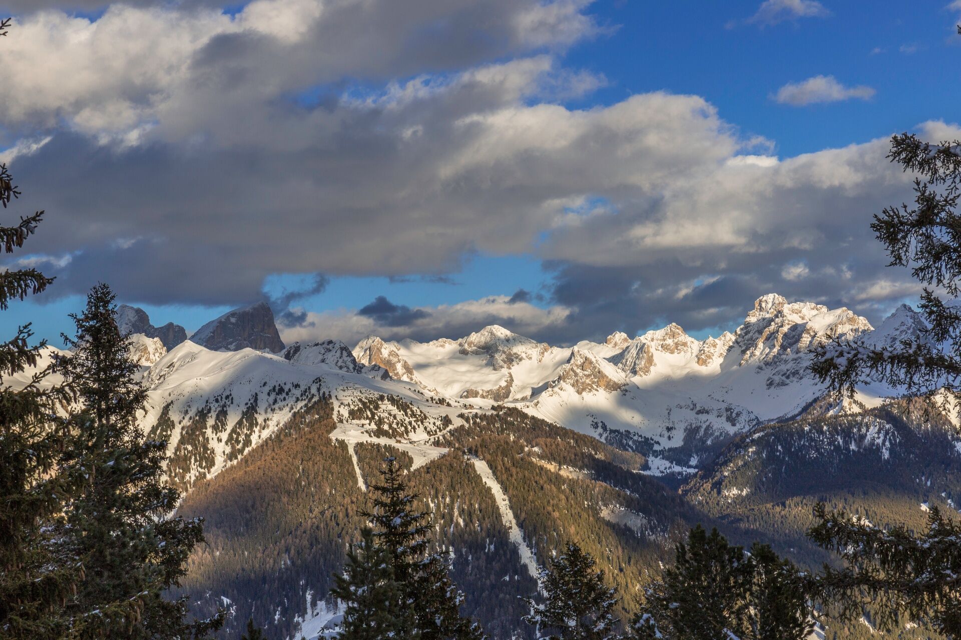
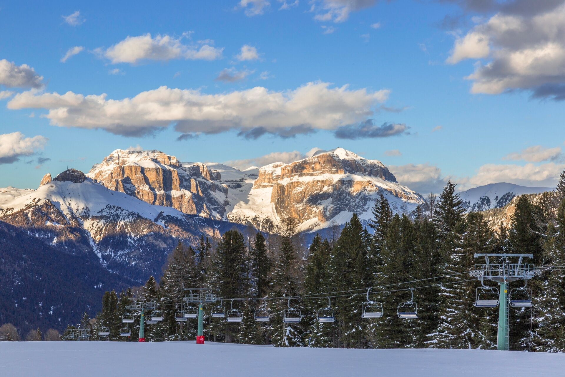
When you board the cable car in Vigo, you wouldn't expect that just a few minutes later you’ll find yourself in an enchanted basin - as wide as a plateau, bathed in sunlight and sheltered by woodland. In summer, if you wish, you can even glide through the trees on a fly line, enjoying over a kilometre of pure adrenaline. The seasons transform its character, revealing different chapters of its story each time. Here you'll see children playing happily in the snow, hikers heading towards the Gardeccia basin at the foot of the highest peaks - where climbers have written Alpine history - and skiers following the Skitour Panorama all the way to Sass Pordoi at 2,950 metres. Yet the true spectacle lies all around you. The basin is a natural terrace set among some of the most iconic and beautifully shaped peaks of the Dolomites. An easy walk in the heart of Fassa's enchanted landscape.

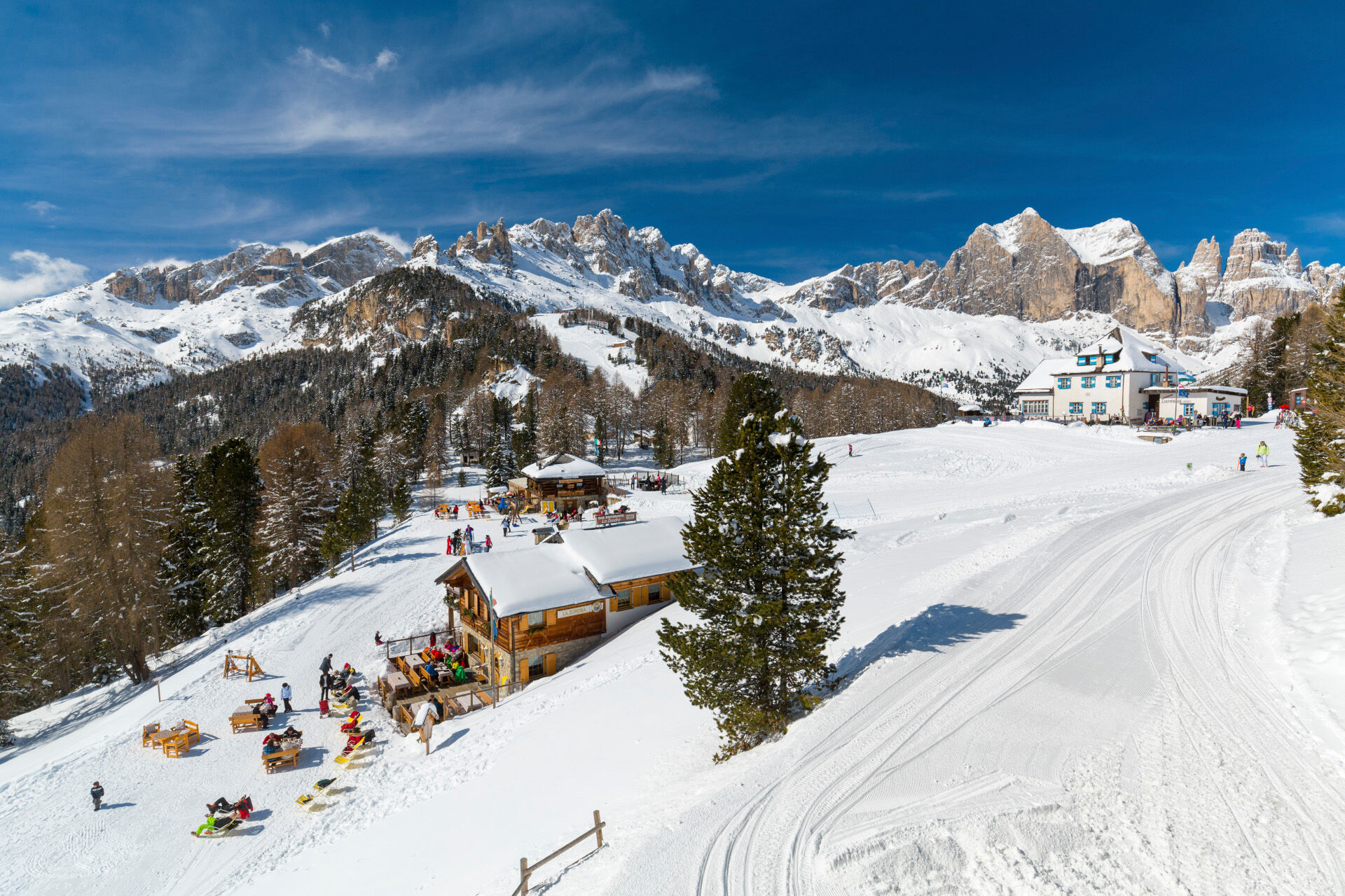

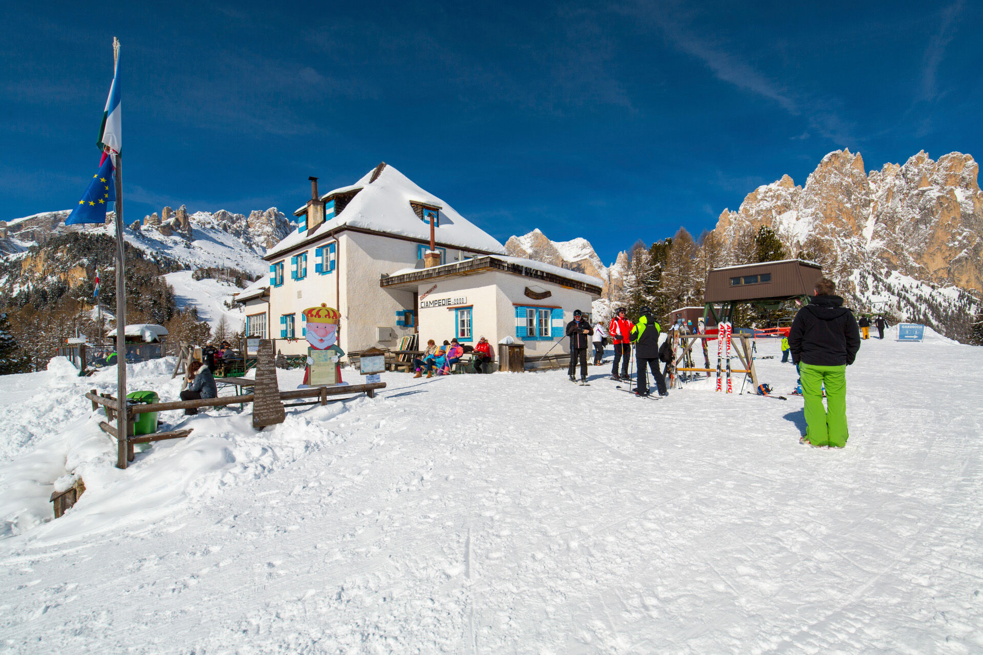
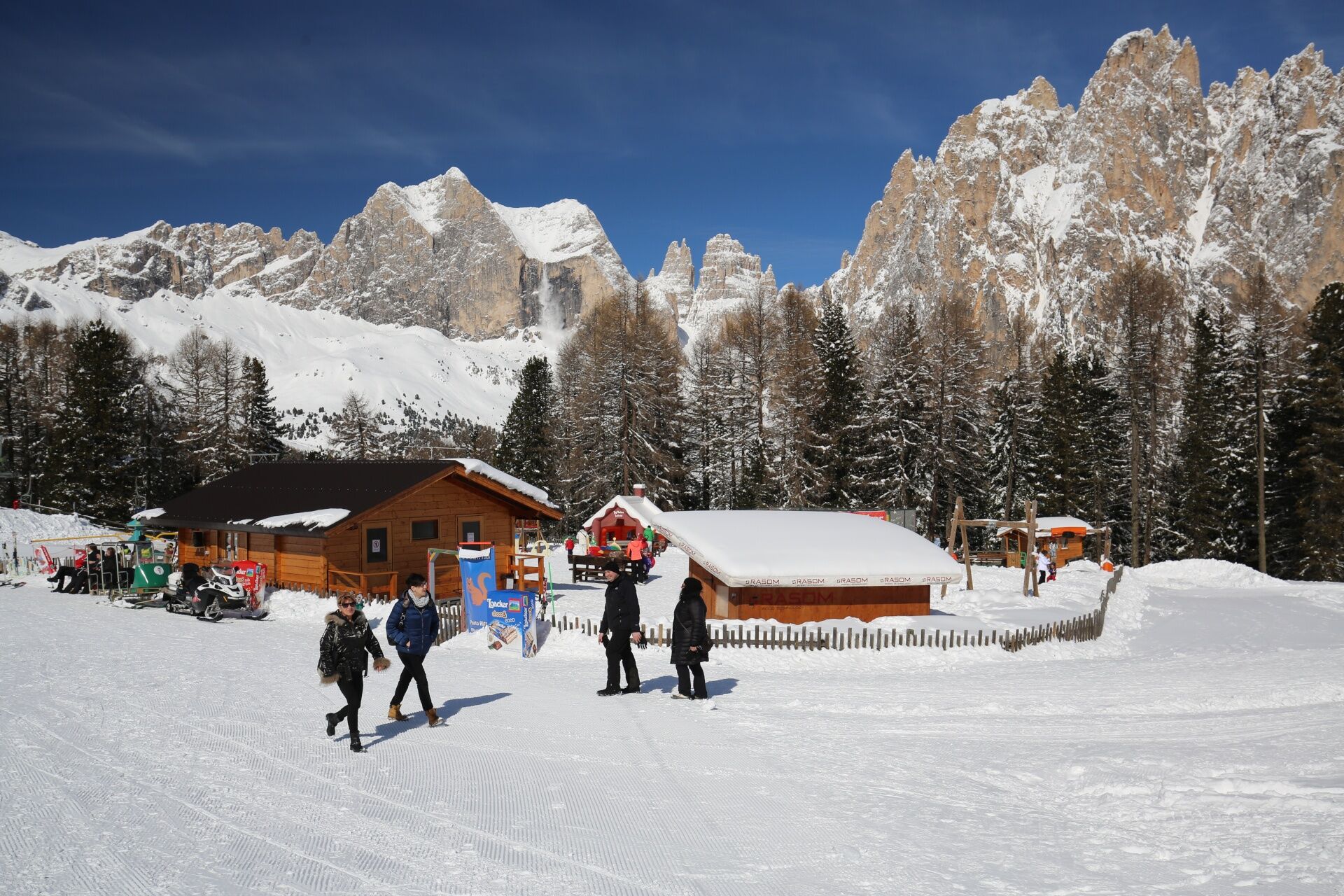
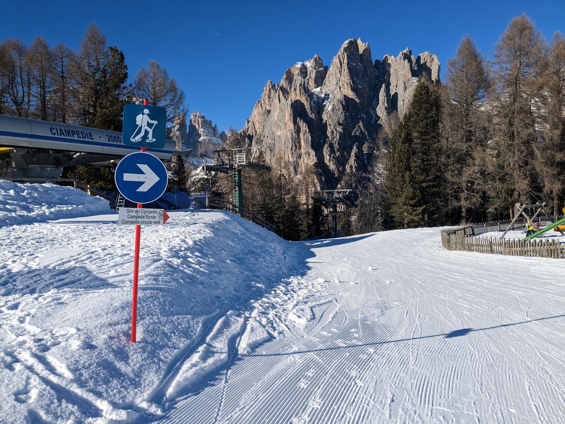
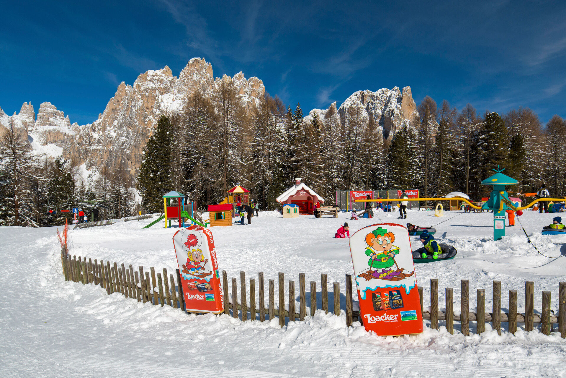
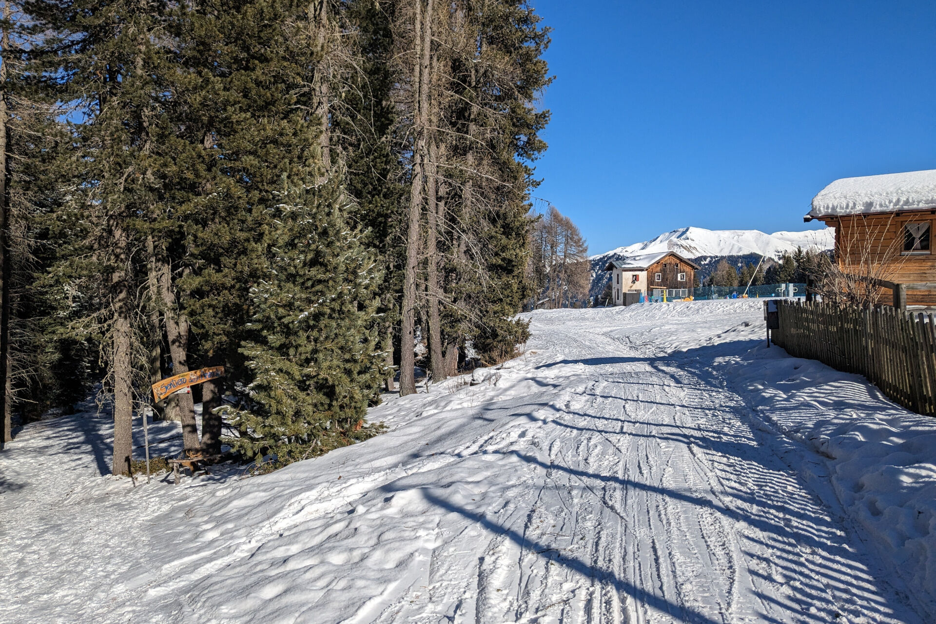

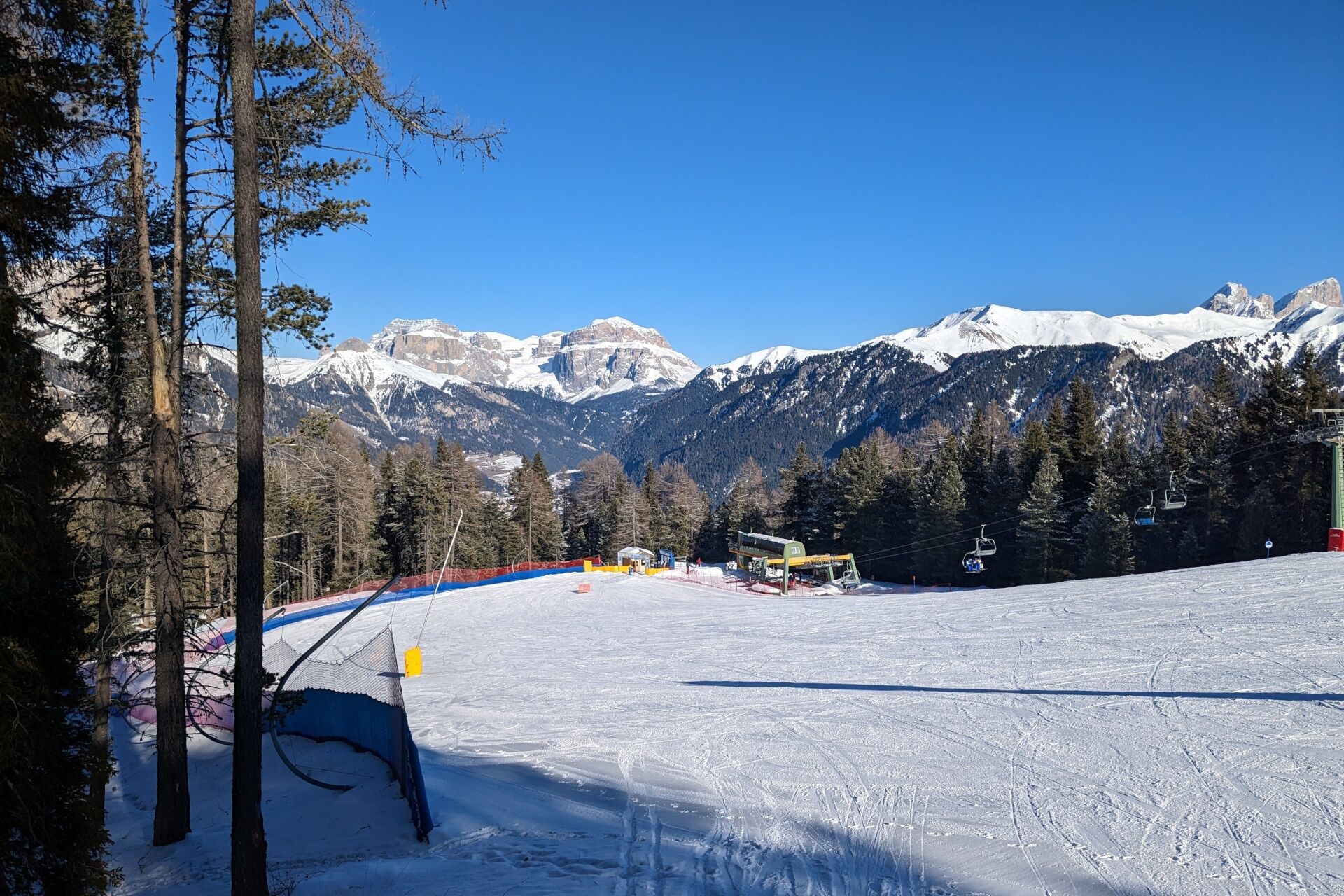

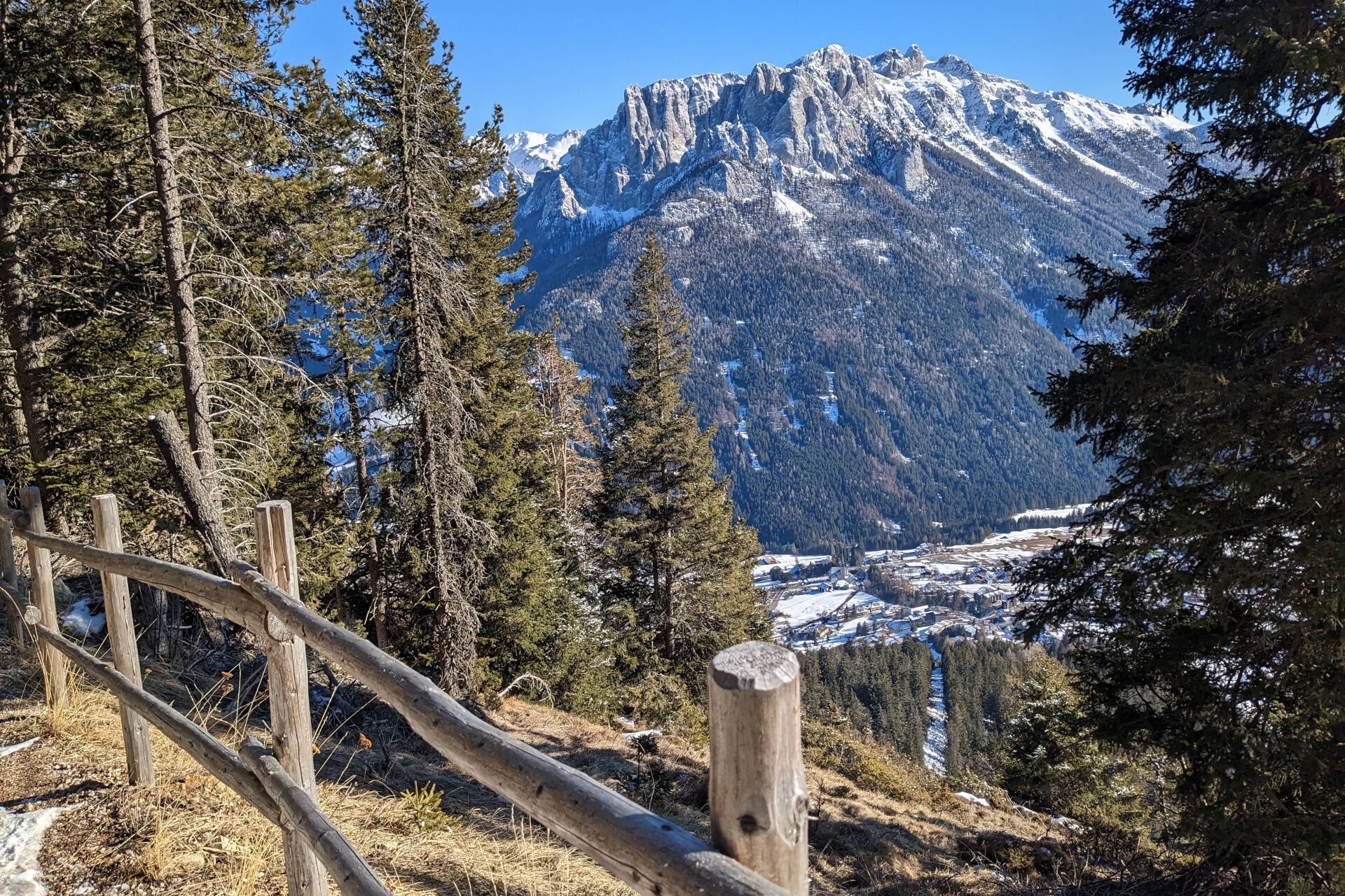

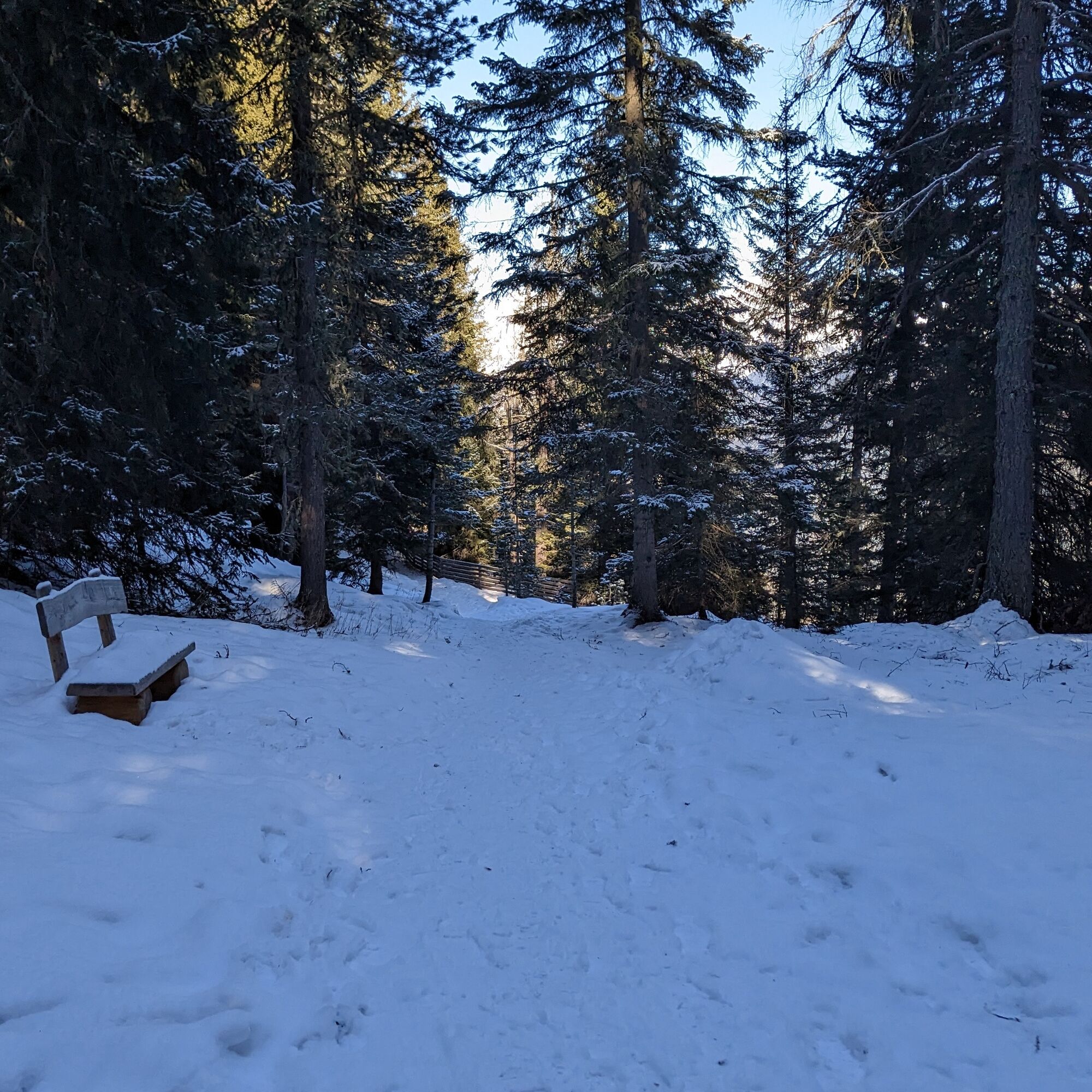
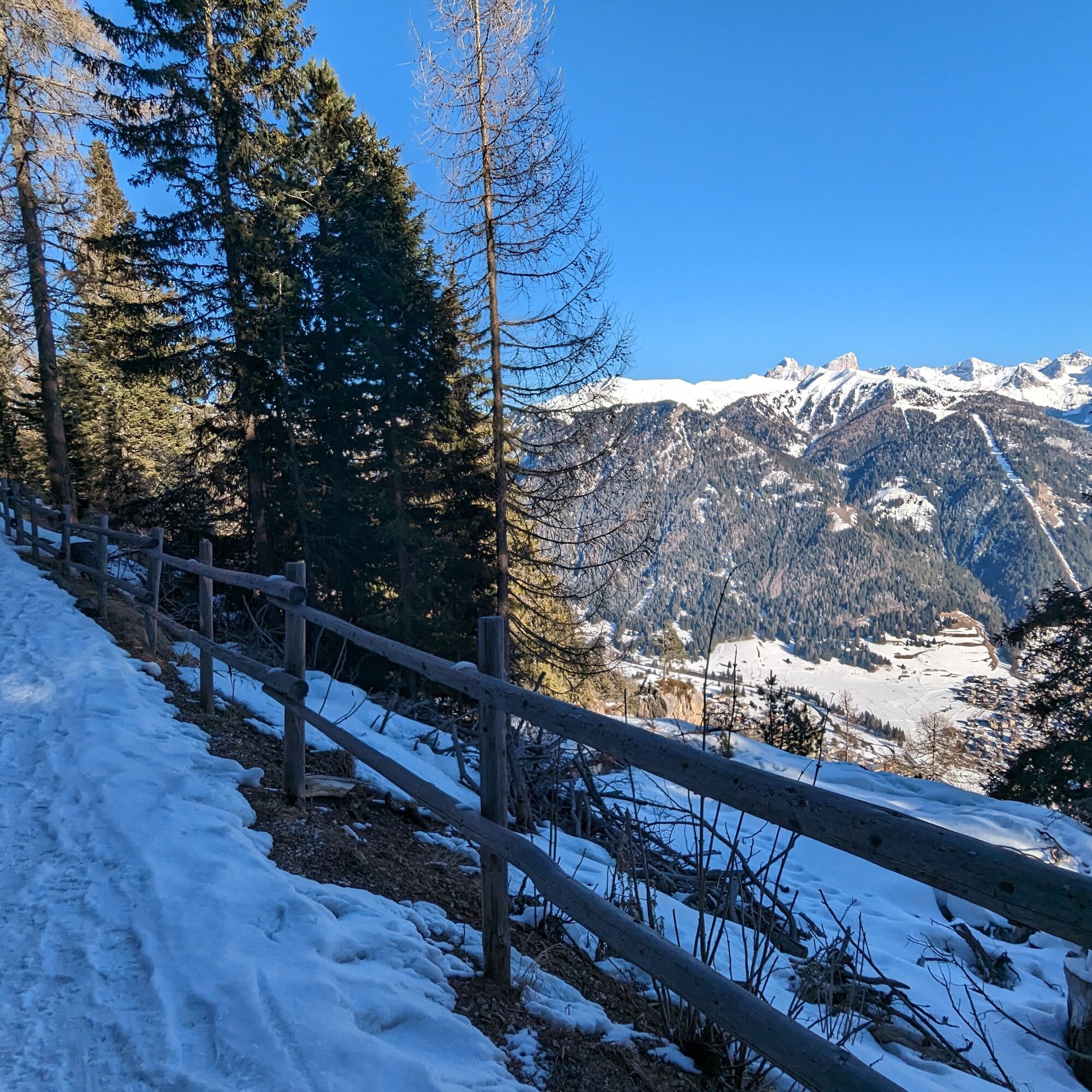
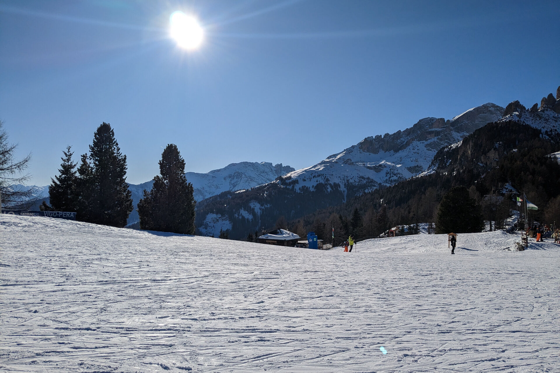
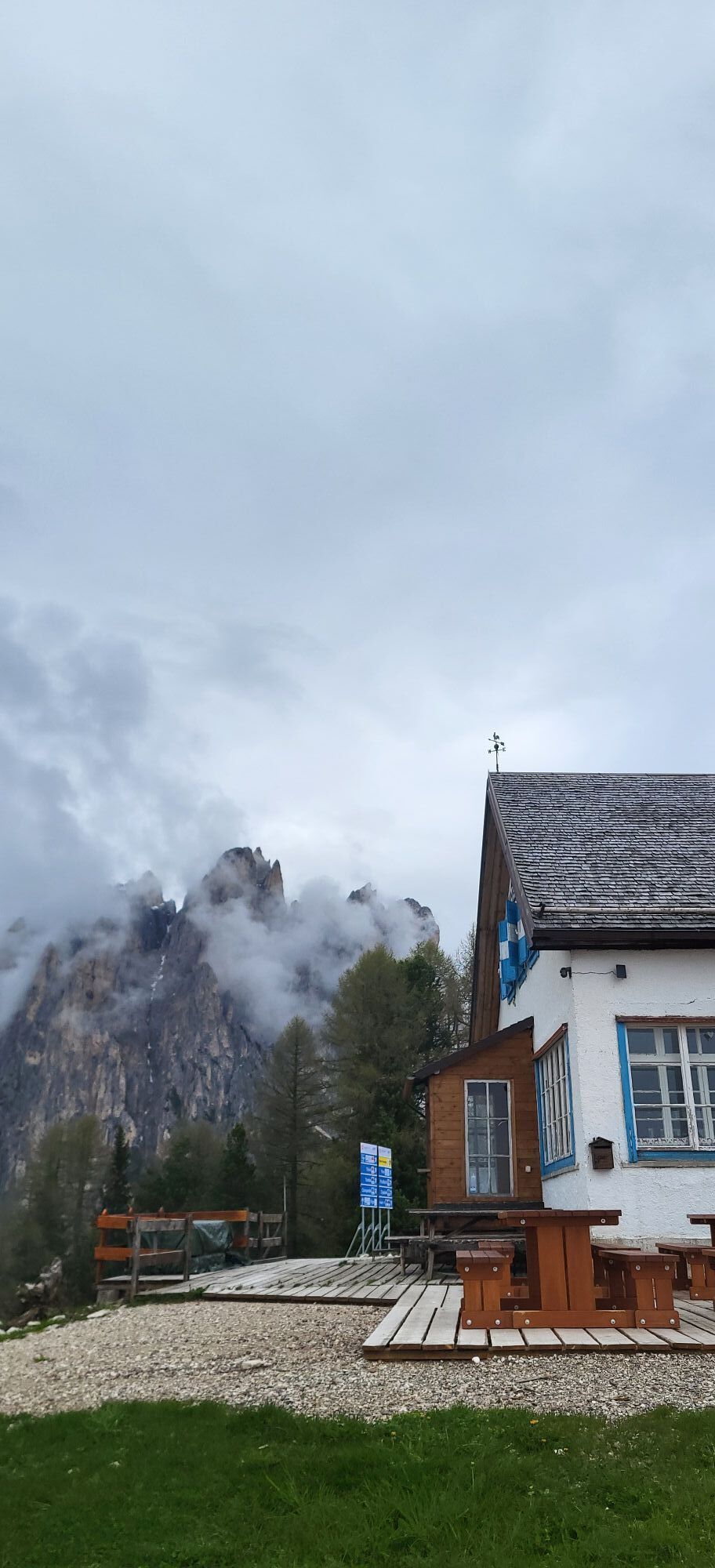
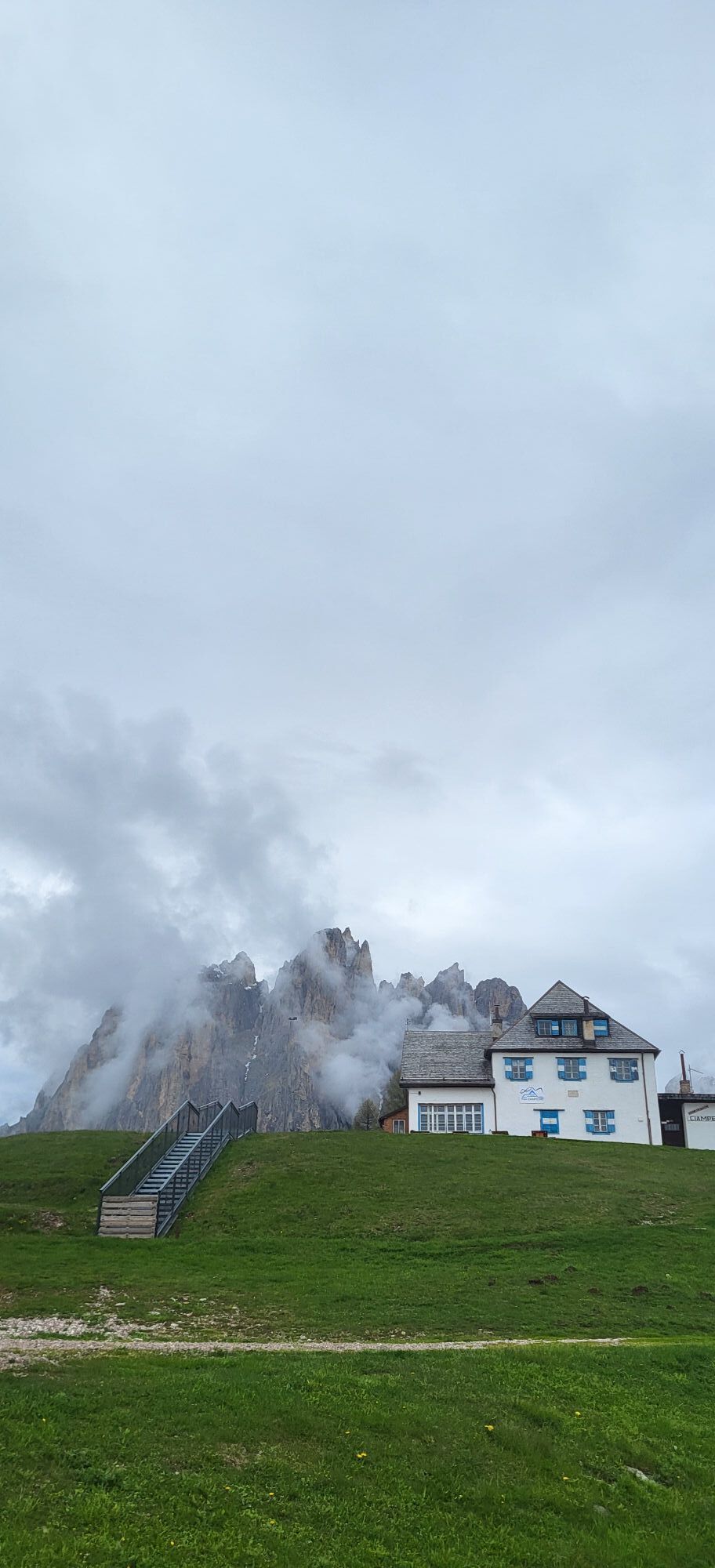
Take the cable car from Vigo to reach Ciampedie (1,998 m) in just a few minutes - a sunny plateau with spectacular views of the Fassa Dolomites. The circular route winds around the beginners' area and through the Re Laurino woods. From the cable car station, head towards the children's playground and follow the path to the left of the Kinderpark, signposted as the Animal Trail. At the first fork, keep left - this is the same path that leads to Gardeccia. At the next junction, turn right and follow the gently descending trail alongside the Baby slope. You'll pass behind the chairlift's lower station before climbing the slope on the opposite side.
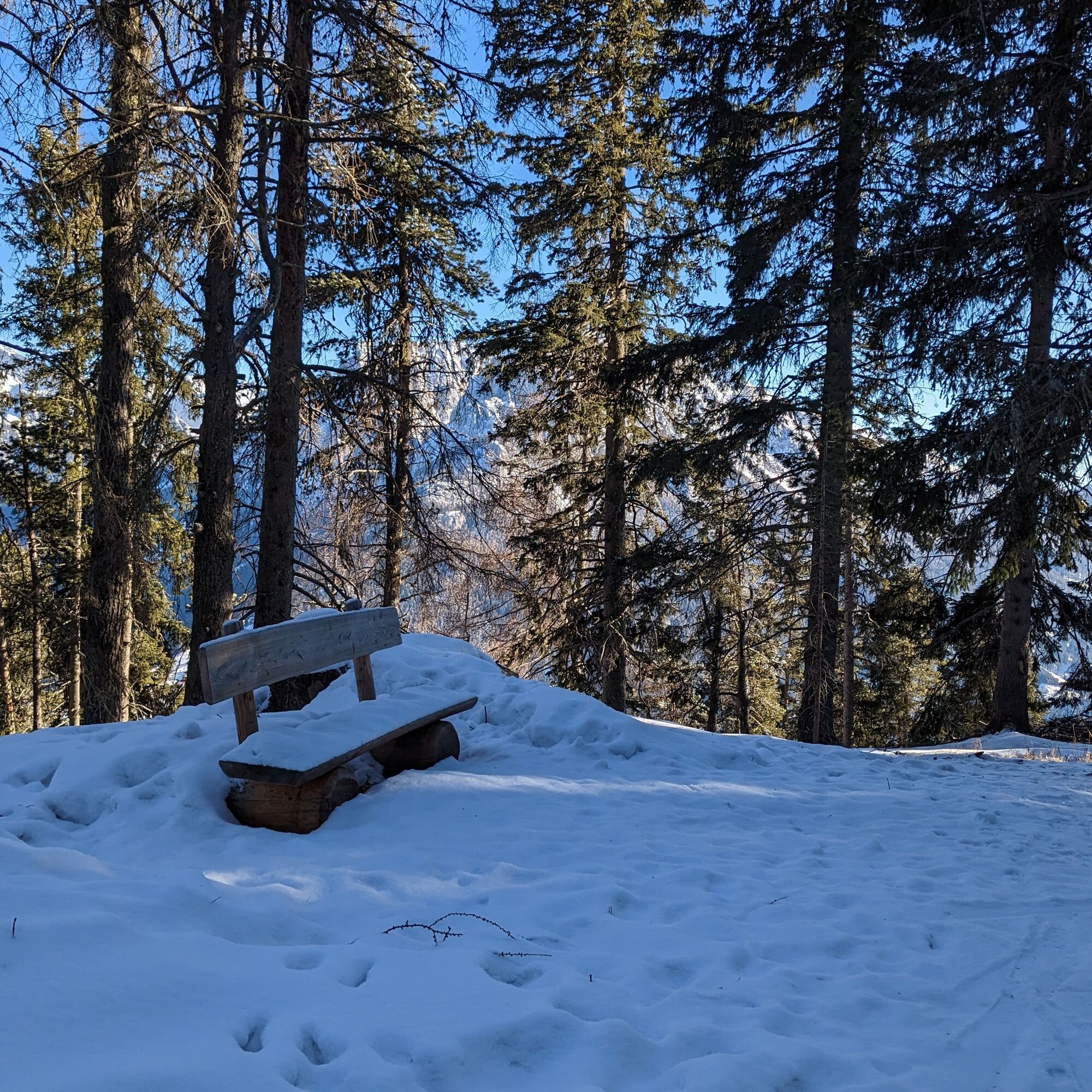
Several mountain huts and refreshment points are available in the area.
Ano
Ano
Groomed trail: snowshoes optional.
2. Inform someone about your planned itinerary, return time and possible changes.
3. Plan your outings with others and, when possible, rely on a mountain professional.
4. Bring avalanche rescue equipment (beacon, shovel and probe) with you, practise using it regularly and do a group test before setting off.
5. Make sure you have suitable clothing and equipment (poles, crampons, water, snacks, etc.).
6. Always keep your pet on a leash.
7. Constantly and carefully assess the conditions of the route and your mental, physical and technical abilities. If in doubt, turn back.
8. Do not cross ski slopes, either downhill or cross-country.
9. Respect the environment around you and take your rubbish back down to the valley.
10. Help those in need. In case of real need and for emergencies, call 112.
Other access routes to Val di Fassa
From the A27 motorway (Venice), Belluno/Ponte nelle Alpi exit: SS 203 to Agordo, then SP 346 over Passo San Pellegrino to Moena (Val di Fassa). From the Moena bypass, continue towards Canazei From the A27 motorway (Venice), Belluno/Ponte nelle Alpi exit: SS 203 to Agordo/Alleghe/Rocca Pietore, then SP 641 over Passo Fedaia to Canazei From Arabba: SS 48 over Passo Pordoi to Canazei From Val Gardena: SS 242 over Passo Sella to Canazeisüdtirolmobil bus lines - Val di Fassa
Line 180: Vigo di Fassa - Passo Carezza - Bolzano- Nearest bus stop (Trentino Trasporti/südtirolmobil): Vigo di Fassa > Strada Rezia/Hotel Carpe Diem
- Nearest ski bus stop: Vigo di Fassa > Catinaccio lifts
Free or paid parking spaces in the vicinity of the ski lifts.
WT1
Strèda Roma, 36
38032 Canazei (TN)
Phone +39 0462 609500
info@fassa.com
www.fassa.com
Access is by cable car from Vigo (ski pass valid, or return tickets available at the lift ticket office).
Oblíbené prohlídky v okolí
- 4.6
Pordoi Pass - Sass Pordoi - Forcella Pordoi - Piz Boè - Boè Refuge - Forcella Pordoi - Pordoi Pass
heavyTuristika 8.39 km - 4.9
Lang- und Plattkofel Umrundung
středníTuristika 17.5 km - 5.0
Um den Langkofel
středníTuristika 9.76 km - 4.8
Santnerpass Klettersteig
středníVia ferrata 8.29 km - 4.8
Langkofel-Umrundung
středníTuristika 12.9 km - 4.7
Puflatsch Umrundung
světloTuristika 8.37 km - 4.0
Der Friedrich-August-Weg
středníTuristika 10.4 km - 5.0
Langkofel Klettersteig/Ferrata Furcela de Saslonch
heavyVia ferrata 7.07 km - 4.8
Schlern Bersteigung
středníTuristika 19.1 km - 4.9
Torre di Pisa mountain hut
středníTuristika 9.09 km
Pěší turistika a stopování


Nenechte si ujít nabídky a inspiraci pro vaši příští dovolenou
Vaše e-mailová adresa byl přidán do poštovního seznamu.