






From Passo Lavazè to the Baita Val Lubie
The Lavazè Plateau, in addition to the many kilometers of cross-country ski trails, offers various snowshoes routes. As soon as you take the road you will leave the vivacity of the skiers behind and you...
The Lavazè Plateau, in addition to the many kilometers of cross-country ski trails, offers various snowshoes routes. As soon as you take the road you will leave the vivacity of the skiers behind and you will immerse yourself in total silence. The path is very sunny, the lush forest that characterized this side of the mountain was razed to the ground in October 2018 by the storm Vaia.

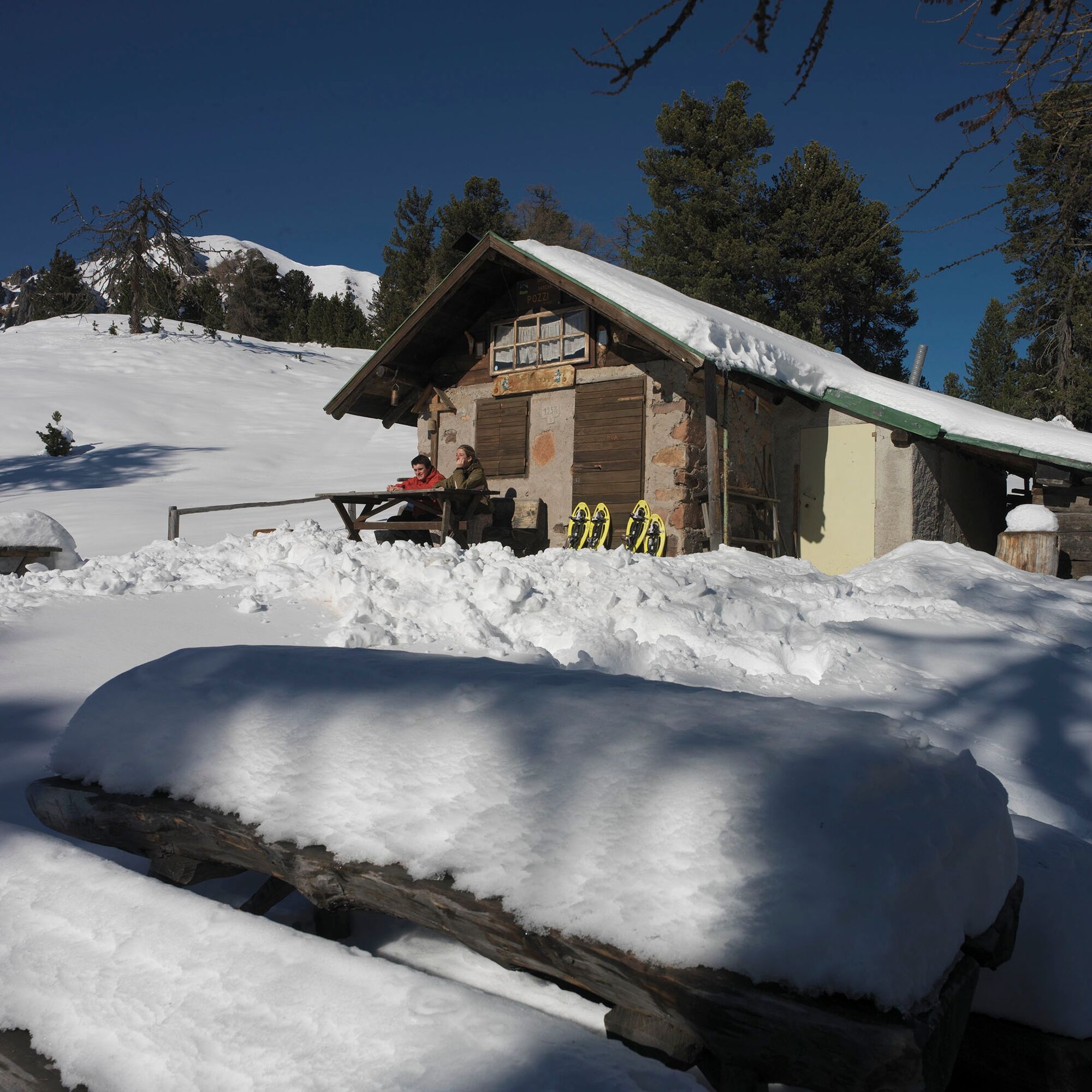

From Passo Lavazè, for about 350 meters, follow the road that leads to Passo Oclini. On the left there is a series of houses. The last one, on the façade, has a large eagle drawn; from there the path to Baita Val Lubie begins. You set off on a beautiful forest road that goes slightly uphill, then descends to the hut (the last 500 meters downhill are steeper). The damage caused by the Vaia storm (October 2018) is clearly visible along the route.
Return back along the same itinerary.
Ano
Warm and waterproof winter clothes. Spare shirt, gloves, wool cap, sunglasses, sunscreen, water, snacks, hiking shoes and hiking poles.
It’s COMPULSORY to carry with you an avalanche rescue kit consisting of avalanche transceiver, probe and shovel.
THE 10 RULES FOR HIKERS
Prepare your itinerary beforehand Choose an itinerary that suits your physical abilities Choose suitable clothes and equipment Check the weather forecast Hiking by yourself is more risky; if this is the case, take a mobile phone with you Leave information about your itinerary and your expected return time If you are not sure about your itinerary, contact an Alpine Guide Pay attention to signposts and directions that you find along your way Do not hesitate in going back if you feel too tired In case of emergency call 112Remember, snowpack stability is subject to sudden and unforeseeable changes and shifts. Always check the local avalanche before departure and make sure you gather all possible information concerning current conditions from the local Mountain Guides. GPS tracks are merely indicative of the more standard routes but must not be followed blindly without first checking current slope and terrain conditions.
From Cavalese drive first to the village of Varena and then continue util you reach Passo Lavazè. From Predazzo drive first to the village of Tesero.
The skibus connects the villages of Tesero and Cavalese with Passo Lavazè.
Several car parks at Passo Lavazè, near the hotels or in the direction of Val d'Ega.
APT Val di Fiemme - Tel. +39 0462 241111 - info@visitfiemme.it - www.visitfiemme.it
Lavazè Spettacolo della Natura - Tel. + 39 0462 230447 - info@lavaze.com - www.lavaze.com
The hut is closed, but nothing prevents you from sitting outside to observe the view and enjoy the warm rays of the sun.
Získejte přehled Vždy živě na místě s více než 9 500 webkamerami. bergfex Jako uživatel Pro si nyní můžete zobrazit odpovídající webové kamery pro mnoho prohlídek v aplikaci prohlídky z. Můžete si tak přímo prohlédnout aktuální podmínky. Oblíbené prohlídky v okolí
- 4,9
Torre di Pisa mountain hut
středníTuristika 9,09 km - 4,7
Passo Costalunga - Sella del Ciampaz
středníTuristika 8,35 km - 5,0
Latemar Umrundung - die Kurze und Bequeme
středníTuristika 12,1 km - 4,5
Kölner Hütte - Hirzelsteig - Rotwandhütte - Baita Tre - Karerpass
středníTuristika 9,56 km - 4,8
Malga Cislon
středníTuristika 9,37 km - 5,0
Giro del catinaccio a nova levante
Turistika 11,7 km - 4,8
Latemar Tour - Tour 930
středníMountainbike 37,4 km - 4,8
Rifugio Paolina - Laurin's Lounge - Kölner Hütte - Rifugio Fronza alle Coronelle - Paolina
středníTuristika 8,19 km - 4,5
Planet path
světloTuristika 8,86 km - 5,0
Tour of Monte Cornon
středníTuristika 7,65 km
Pěší turistika a stopování


Nenechte si ujít nabídky a inspiraci pro vaši příští dovolenou
Vaše e-mailová adresa byl přidán do poštovního seznamu.





