


Climbs of Giro d’Italia – San Pellegrino Pass
Úroveň obtížnosti: 5

From the centre of Moena, begin the first ascent, leading to the panoramic area of the village, with a breath-taking view on Rosengarten and Sassolungo. At the crossroads, turn right and follow the state...
Return along the same route or possibility to continue towards Falcade and Valles Pass, following Marcialonga Cycling Carft’s itinerary.

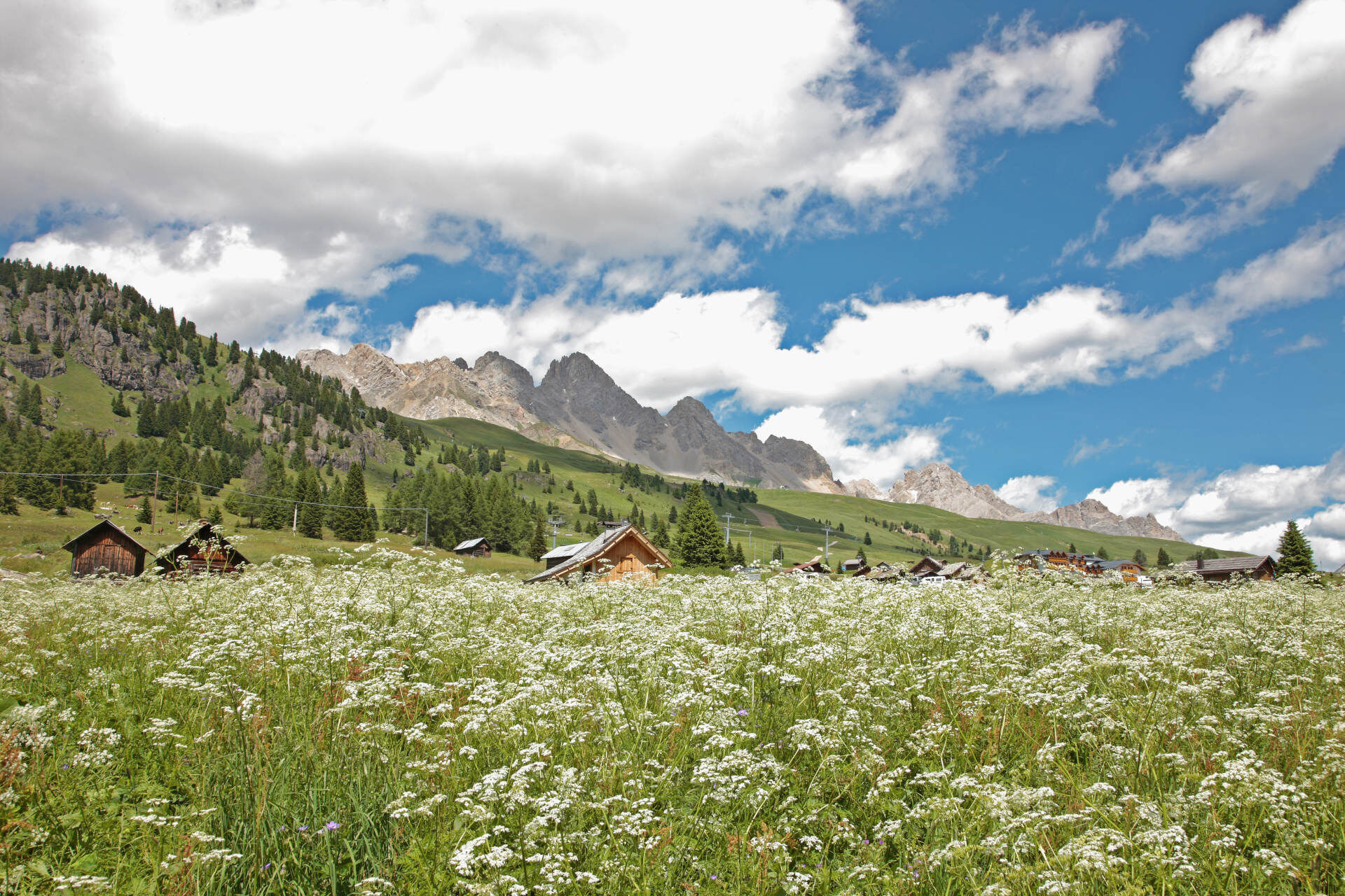
From the centre of Moena, begin the first ascent, leading to the panoramic area of the village, with a breath-taking view on Rosengarten and Sassolungo. At the crossroads, turn right and follow the state road 346 (S.S. 346).
Helmet, gloves, clothing adequate for the itinerary and the weather forecast. Charged gps with tracks. Puncture repair and multi-tool kit. In compliance with the rules of the road, bikes must absolutely be equipped with bell, headlights, taillights, and reflectors on the back, on the sides and on the pedals.
Plan a tour based on your skills and on the weather.
Proceed slowly, especially downhill, enjoy the view and the silence.
Adapt your speed, especially in turns, to the conditions of the ground.
Rely on the bike guides.
Wear adequate clothing and equipment.
Respect the environment surrounding you and bring your waste back.
Follow the rules of the road.
Be careful on the cycling and walking route.
Help those who need it.
If you come across pedestrians, warn them of your approach and slow down.
Other access points to Val di Fassa:
from A27 motorway (Venezia), exit Belluno/Ponte nelle Alpi, S.S. 203 to Agordo and S.P. 346 to San Pellegrino Pass - Moena (Val di Fassa). At the roundabout in Moena, proceed towards Canazei from A27 motorway (Venezia), exit Belluno/Ponte nelle Alpi, S.S. 203 to Agordo/Alleghe/Rocca Pietore. S.P. 641 to Fedaia Pass - Canazei coming from Arabba, S.S. 48 to Pordoi Pass - Canazei from Val Gardena, S.S. 242 to Sella Pass - CanazeiPublic transport lines SAD - Val di Fassa:
line no. 180 Pozza di Fassa - Vigo di Fassa - Carezza Pass - Bolzano line no. 471 Dolomites passes (Sella Pass, Gardena Pass, Campolongo Pass, Pordoi Pass, Fedaia Pass). Service available in summer onlyPay and display parking at the resort of Navalge or free of charge at the entrance of the village by C. Benatti Sports Centre.
5
Strèda Roma, 36
38032 Canazei (TN)
Phone +39 0462 609500
info@fassa.com
www.fassa.com
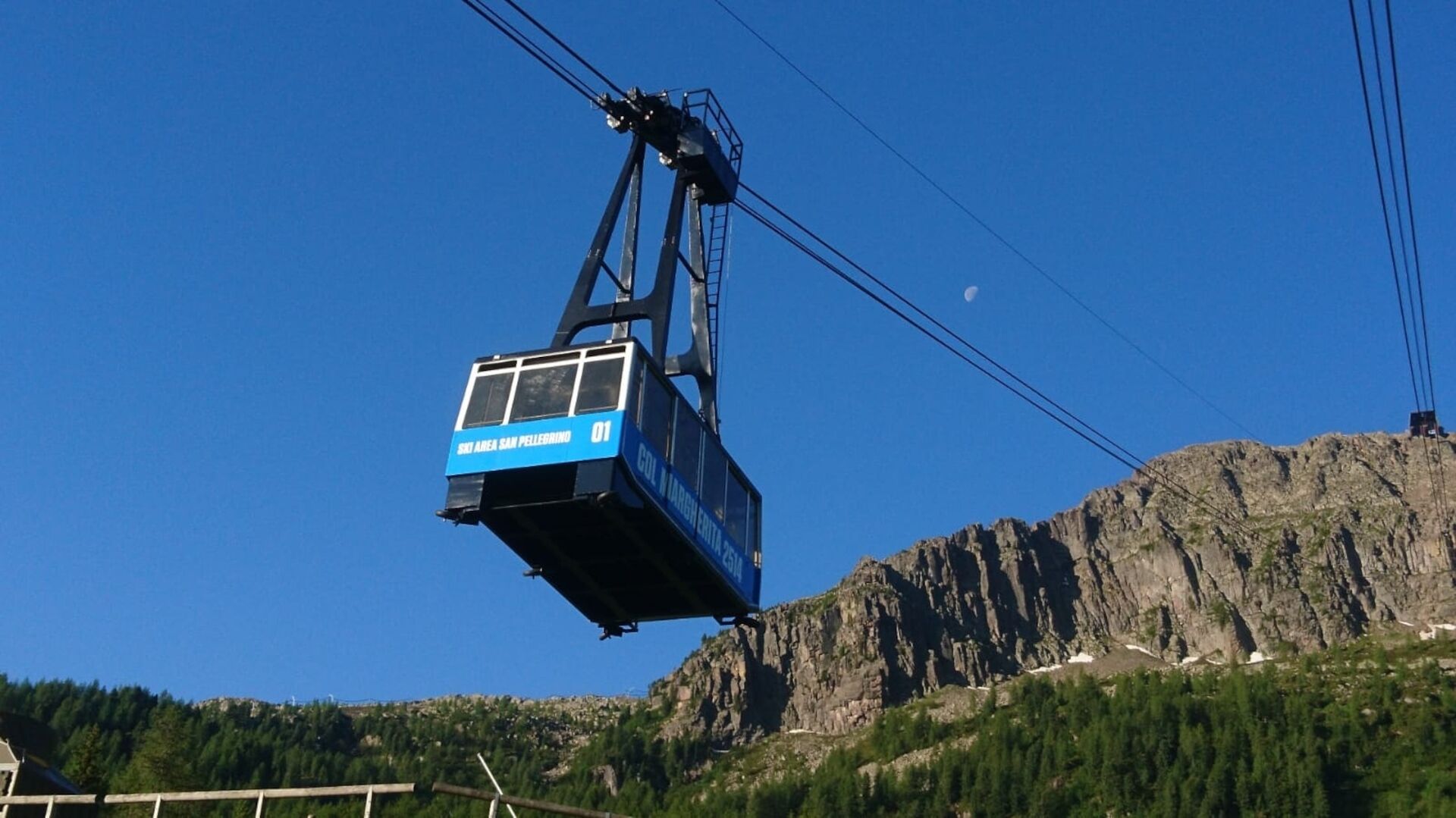
E-bike Bosch Power Station by the valley station of Col Margherita cable car (check the opening dates). Refreshment points along the route.
Webové kamery z prohlídky
-
Marmolada
-
Col Margherita
-
Col Margherita
-
Col Margherita
-
Le Cune
-
Le Cune
-
Le Cune
-
Le Cune
-
Le Cune
-
Le Cune
-
Falcade
-
Le Cune
-
Le Buse
-
Le Buse
-
Le Buse
-
Costabella
-
Costabella
-
Costabella
-
Costabella
-
Costabella
-
Arrivo funivia col Margherita
-
Lago Cavia
-
Seggiovia Lago cavia Col Margherita
-
Col Margherita
-
Col Margherita
-
Col Margherita
-
Col Margherita
-
Le Cune
-
Castelir
-
Castelir
-
Castelir
-
Castelir
-
Castelir
-
Castelir
-
Moena - San Pellegrino Pass / Chalet Isabella
-
Cima Uomo
-
Cima Uomo
-
Cima Uomo
-
Cima Uomo
-
Cima Uomo

Oblíbené prohlídky v okolí
-
4.8
Santnerpass Klettersteig
středníVia ferrata 8.29 km -
4.8
Torre di Pisa mountain hut
středníTuristika 9.09 km -
5.0
Ciampedie - Gardeccia - Refuges Vajolet and Preuss - Refuge Re Alberto I - Gardeccia - Ciampedie
heavyTuristika 11.8 km -
4.7
Passo Costalunga - Sella del Ciampaz
středníTuristika 8.35 km -
5.0
Ciampedie - Gardeccia - Principe Pass - Antermoia Refuge - Val Duron - Campitello
heavyTuristika 18.7 km -
4.7
Stage 1 Dolomiti Trek King in autumn - Catinaccio
heavyTuristika 15.3 km -
5.0
Latemar Umrundung - die Kurze und Bequeme
středníTuristika 12.1 km -
4.5
Kölner Hütte - Hirzelsteig - Rotwandhütte - Baita Tre - Karerpass
středníTuristika 9.56 km -
4.2
Viel dal pan
světloTuristika 6.60 km -
4.4
Cavallazza Peak
středníTuristika 7.82 km

Pěší turistika a stopování


Nenechte si ujít nabídky a inspiraci pro vaši příští dovolenou
Vaše e-mailová adresa byl přidán do poštovního seznamu.