






Climbs of Giro d’Italia – Gardeccia

Úroveň obtížnosti: 5
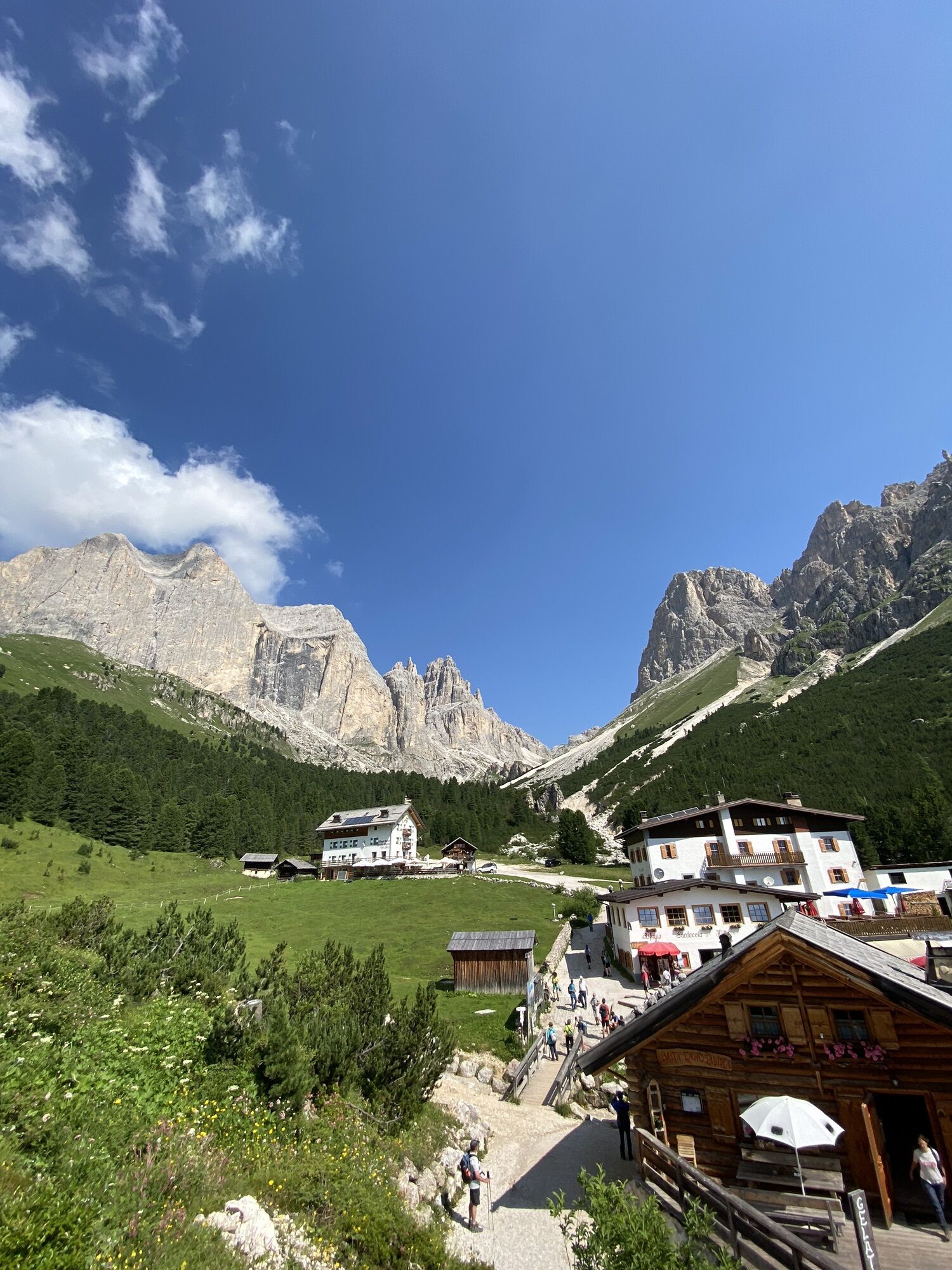
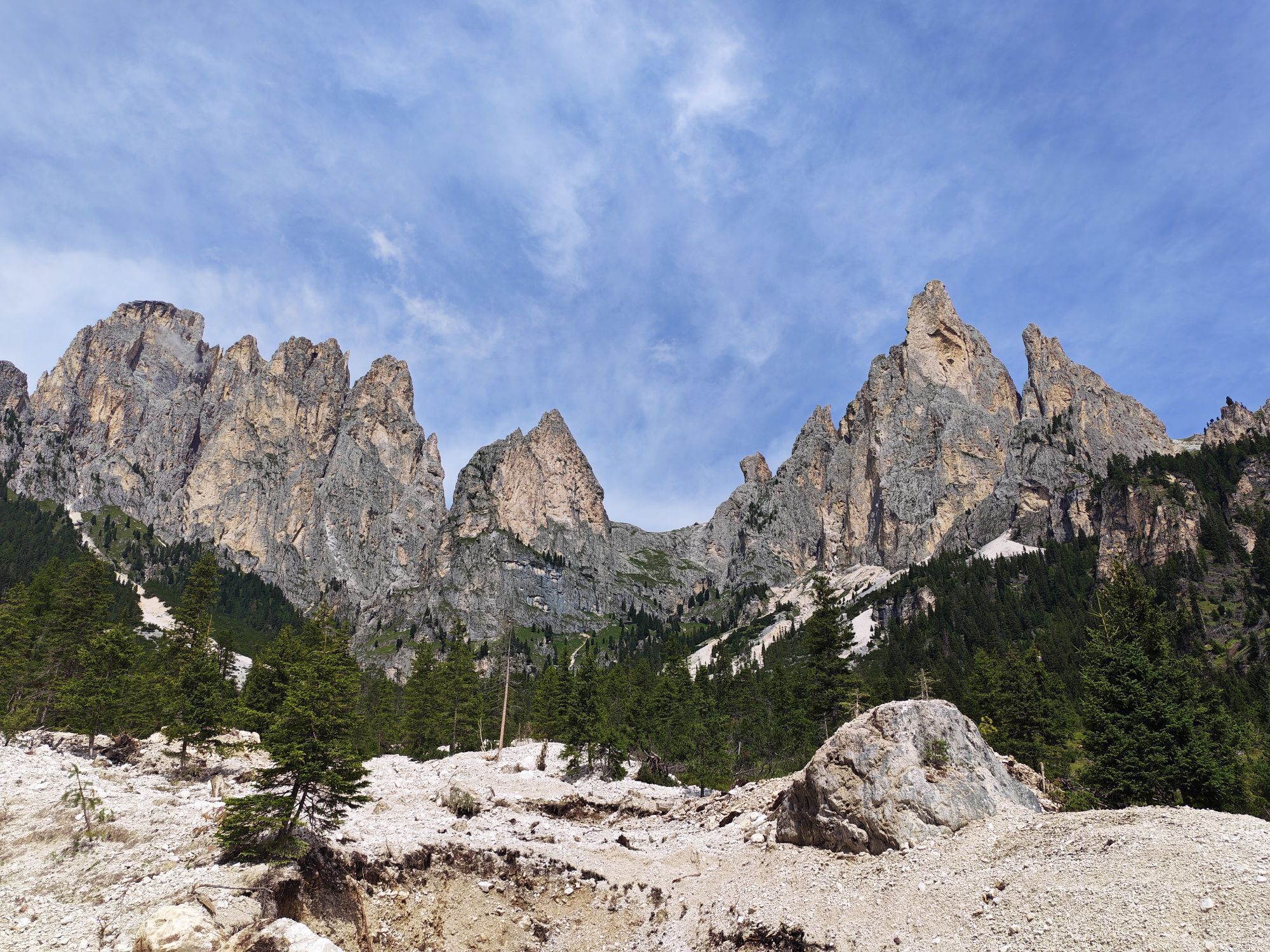
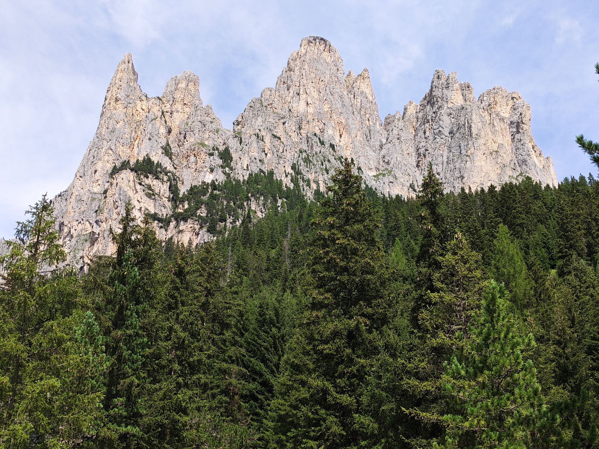
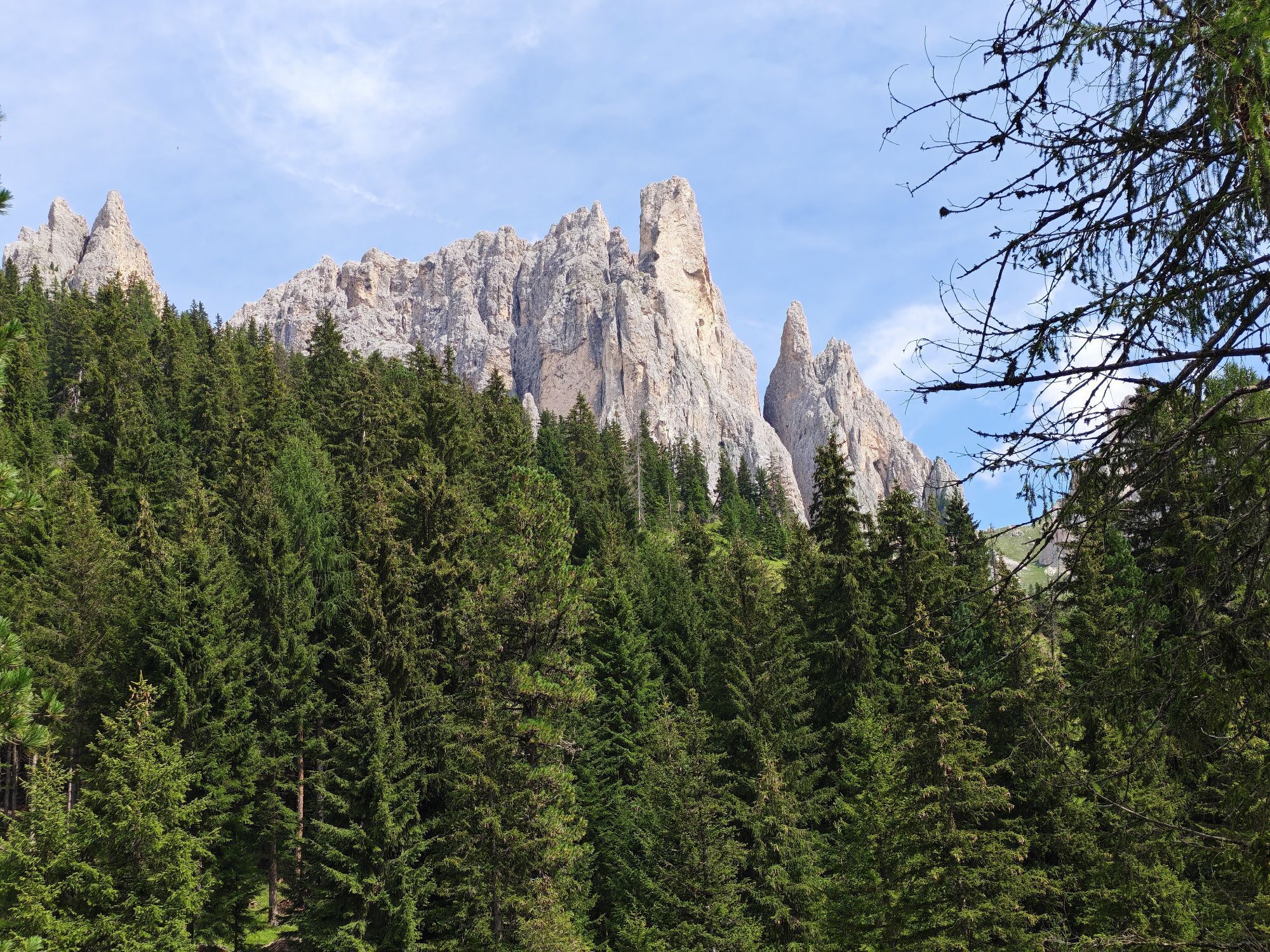
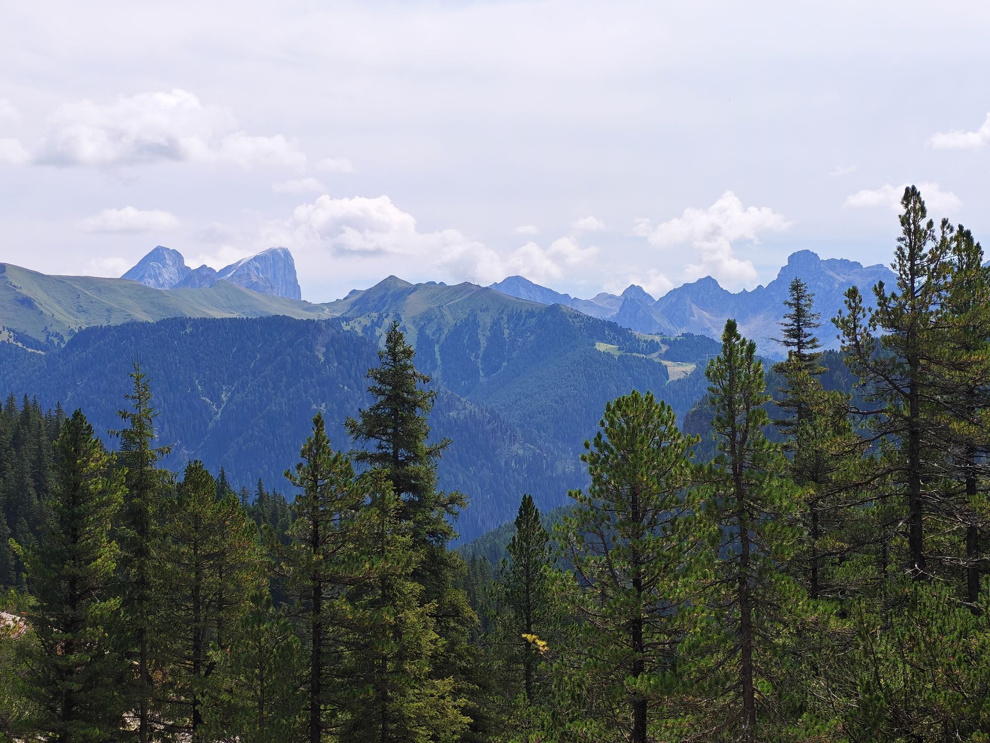
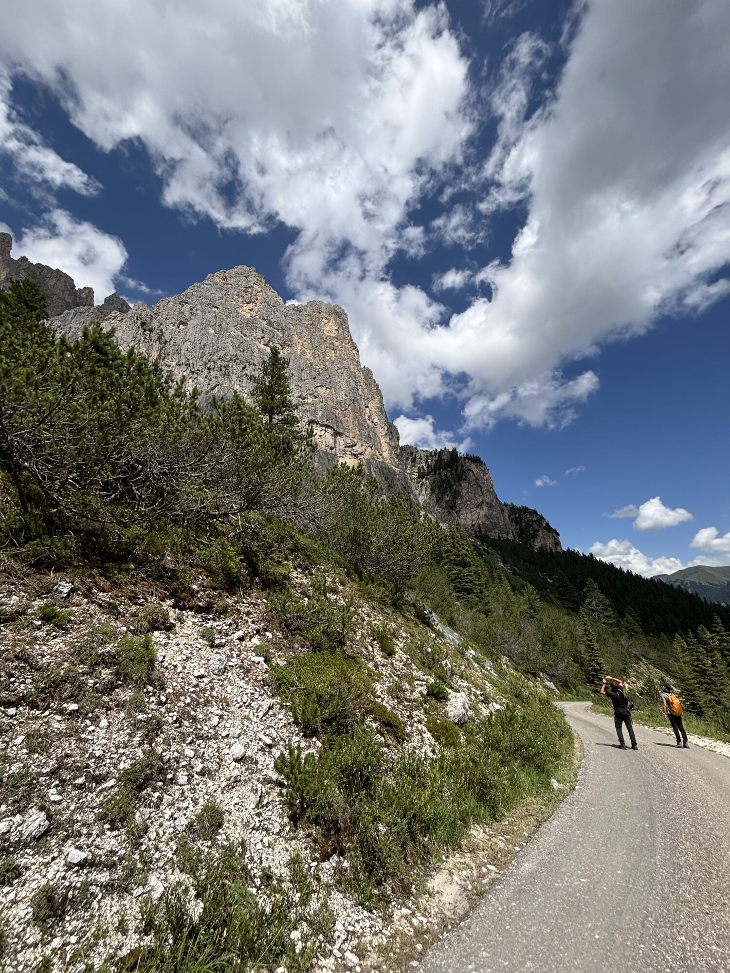
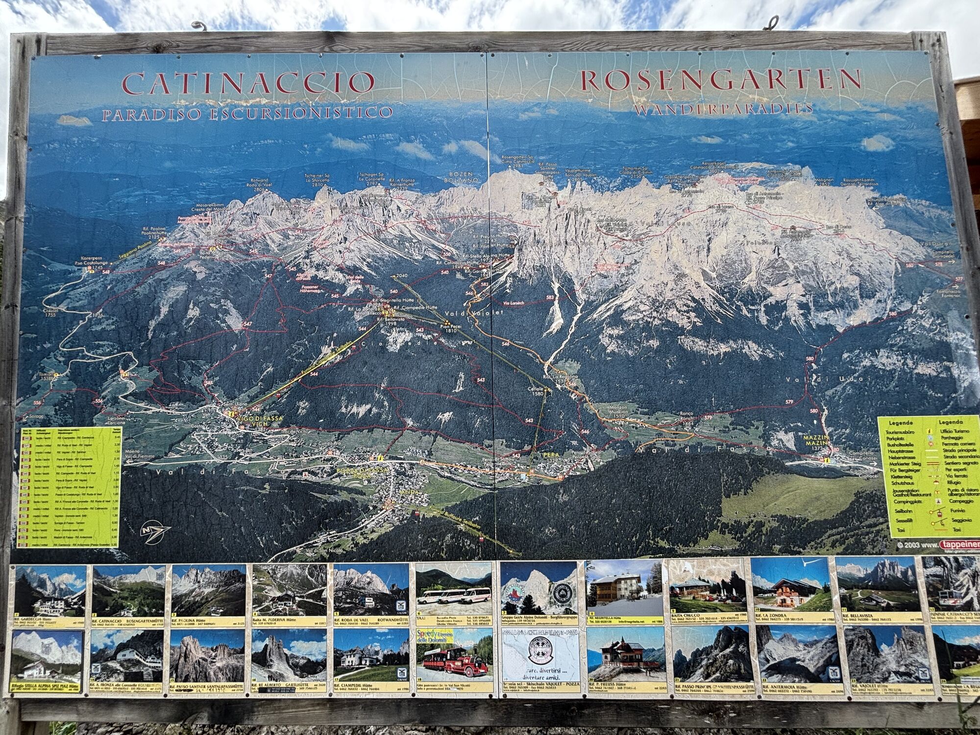
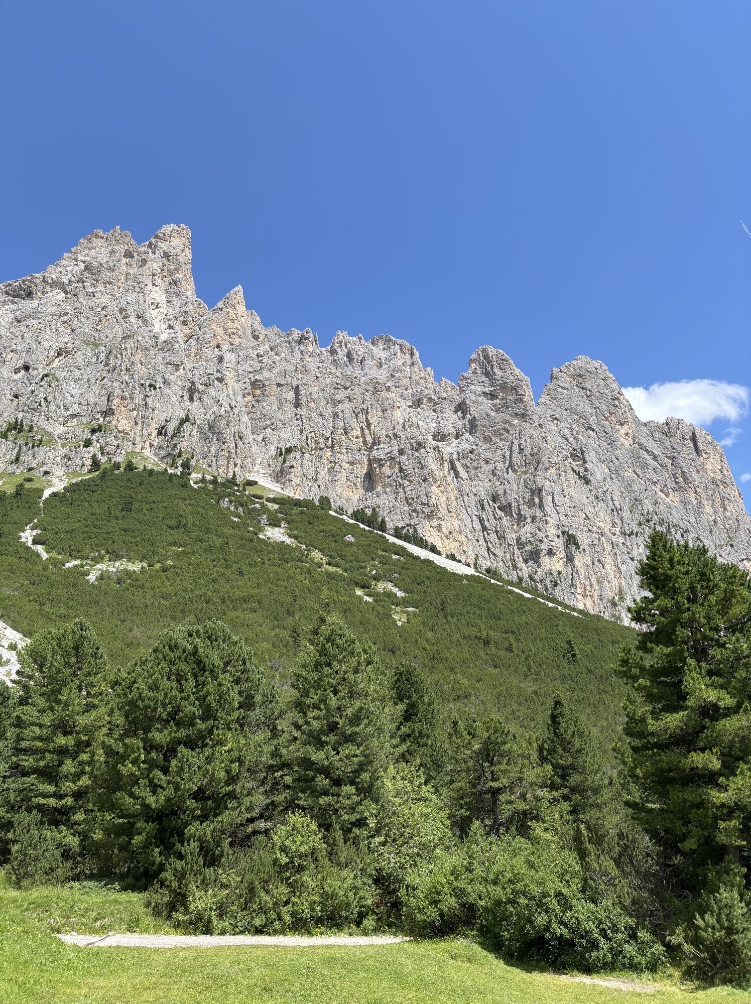
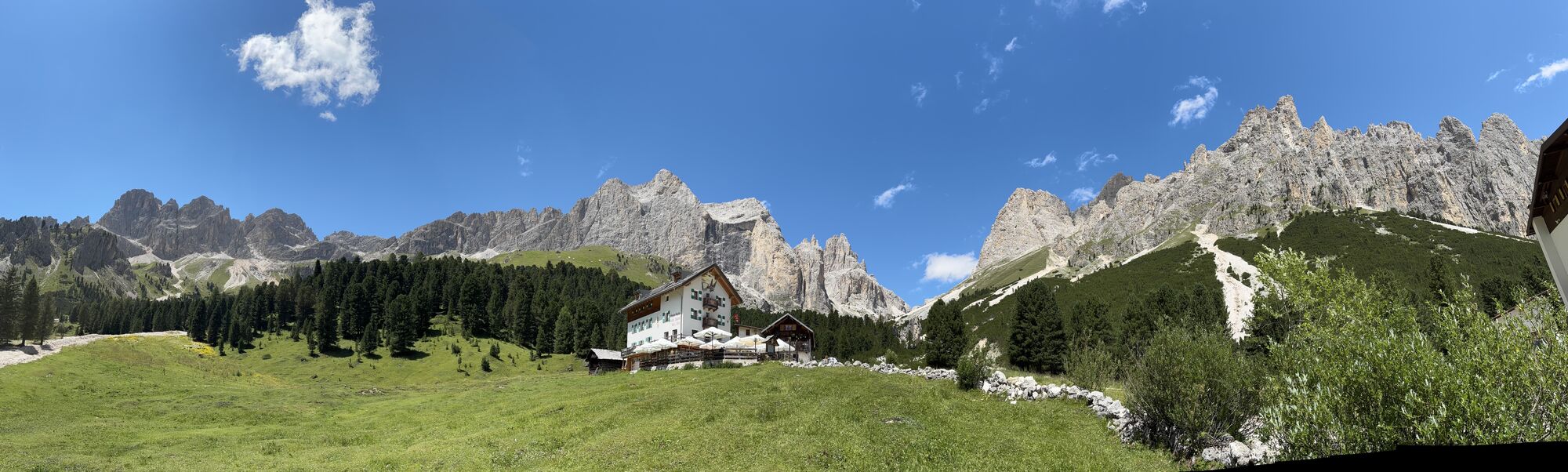
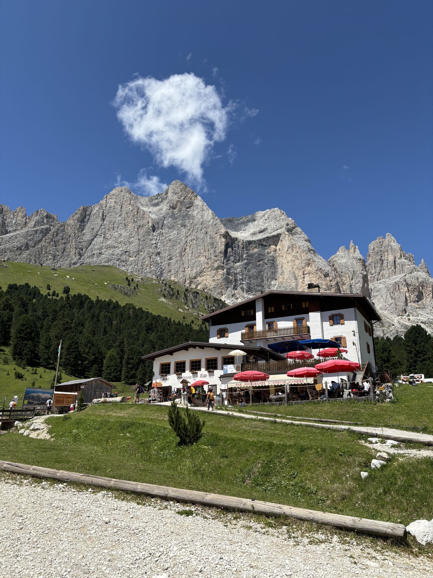
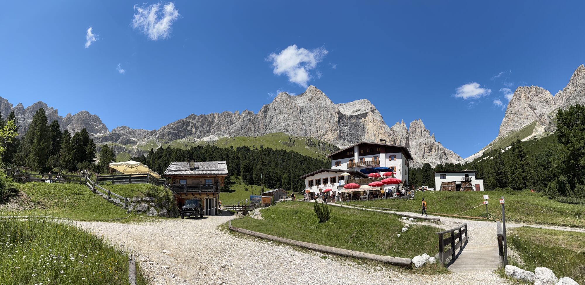
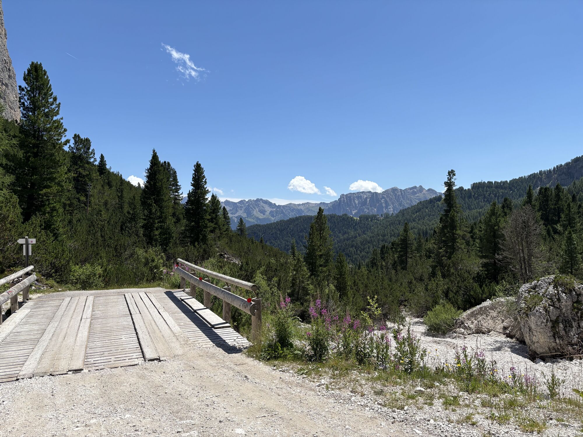
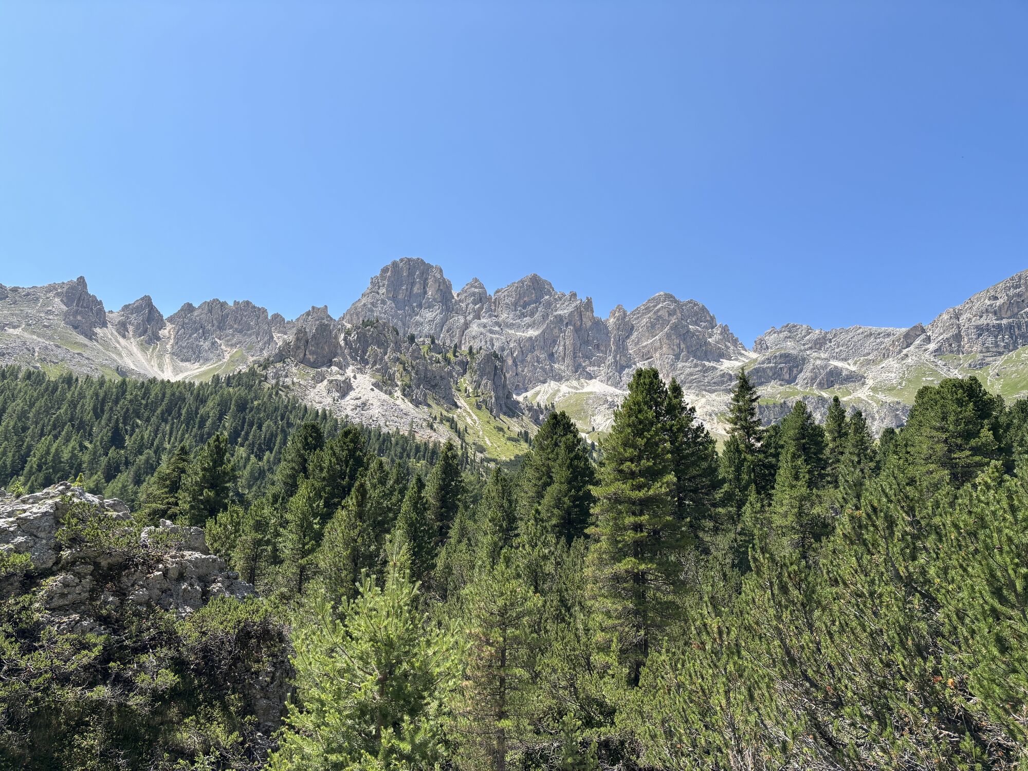
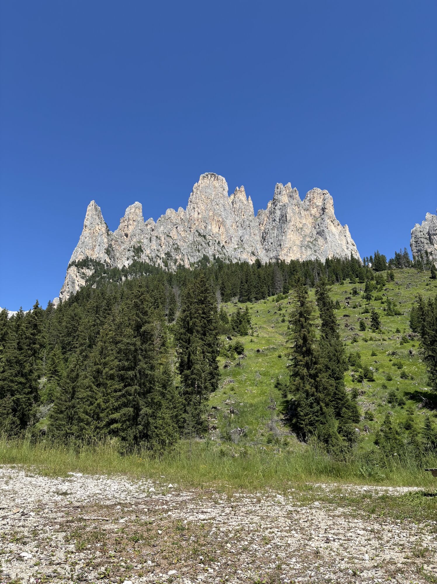
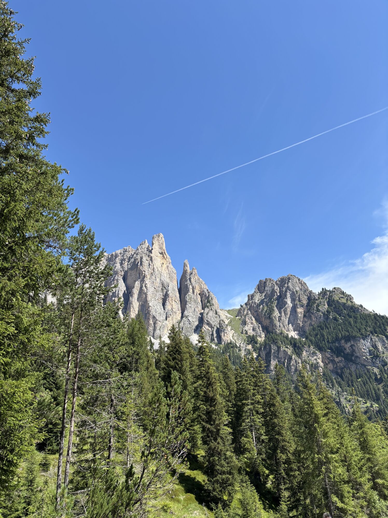
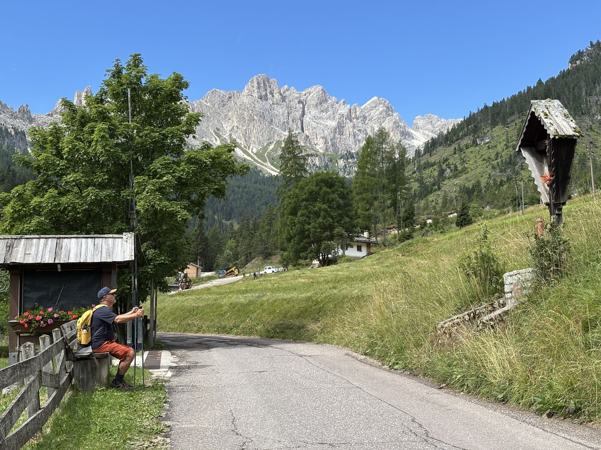
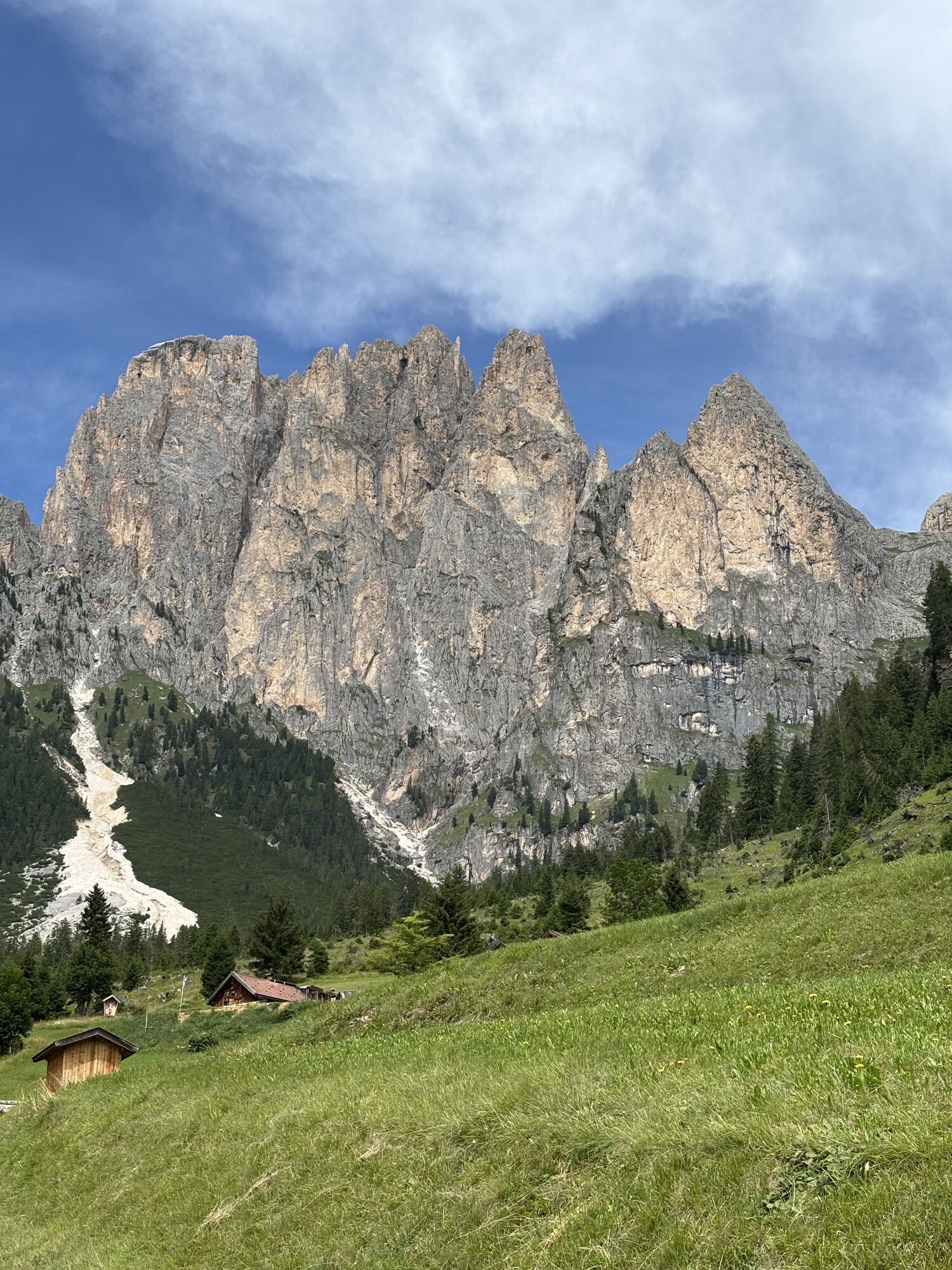
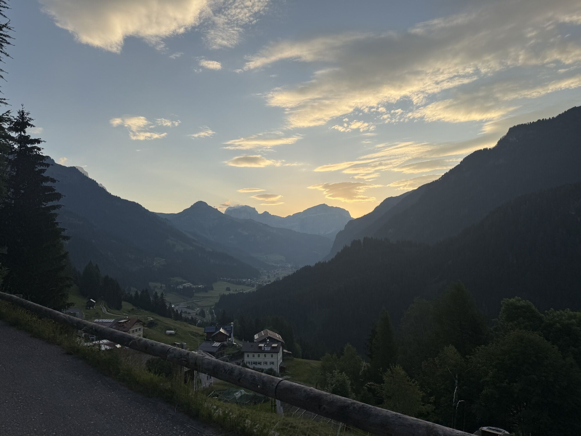
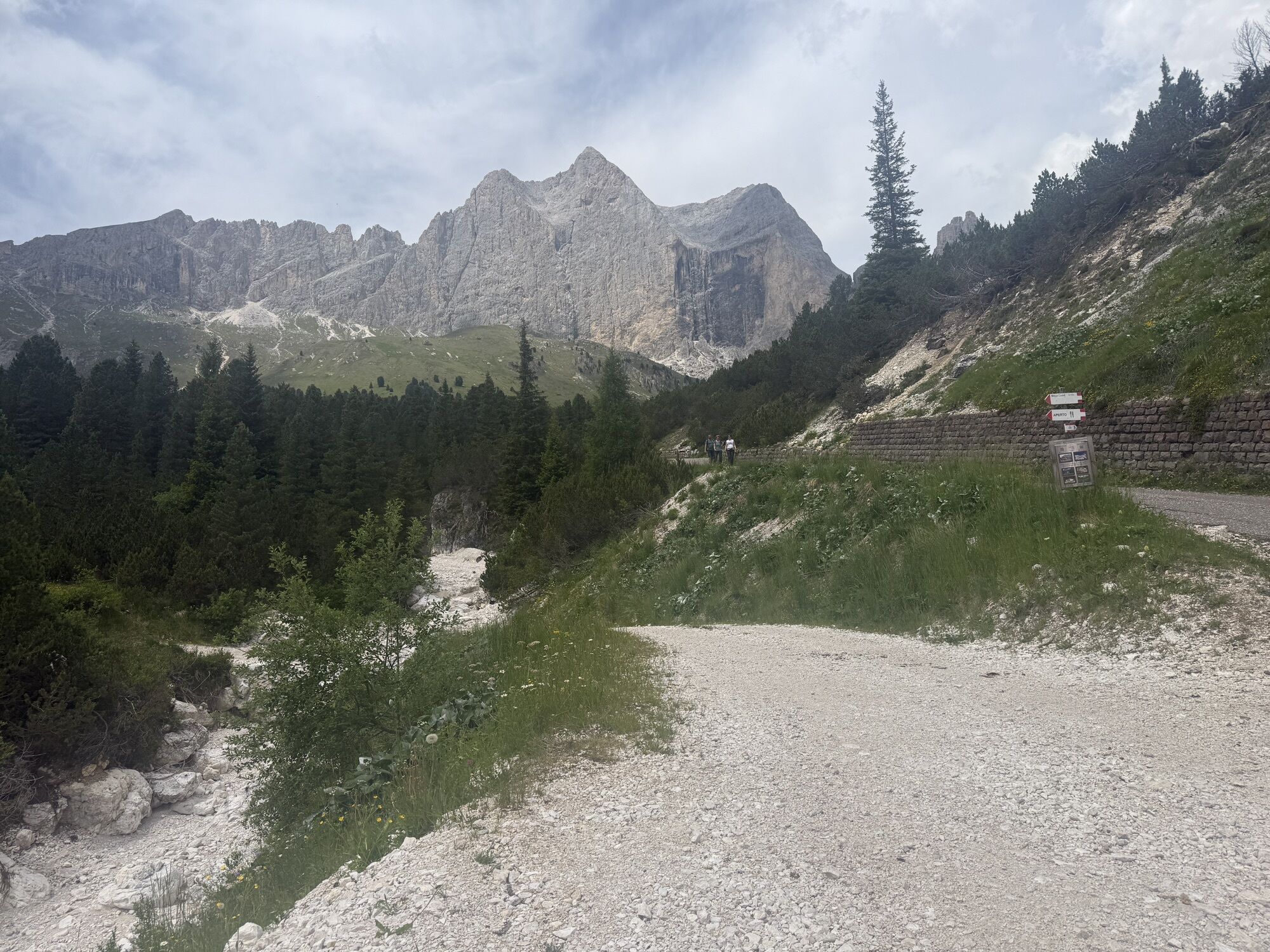
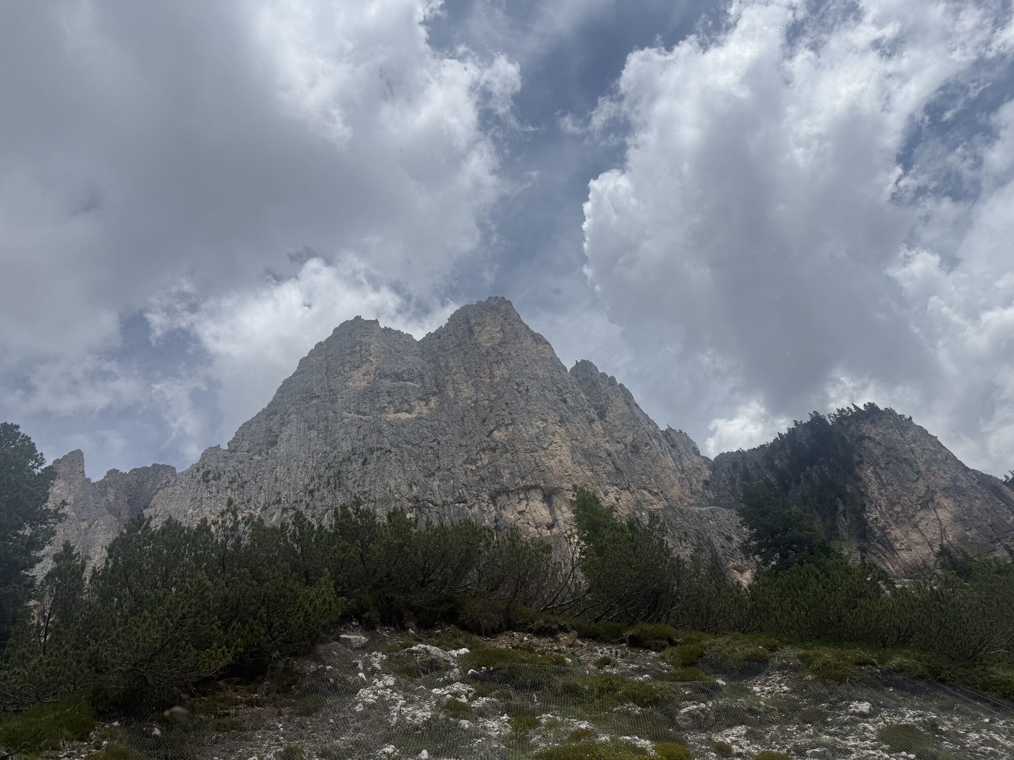
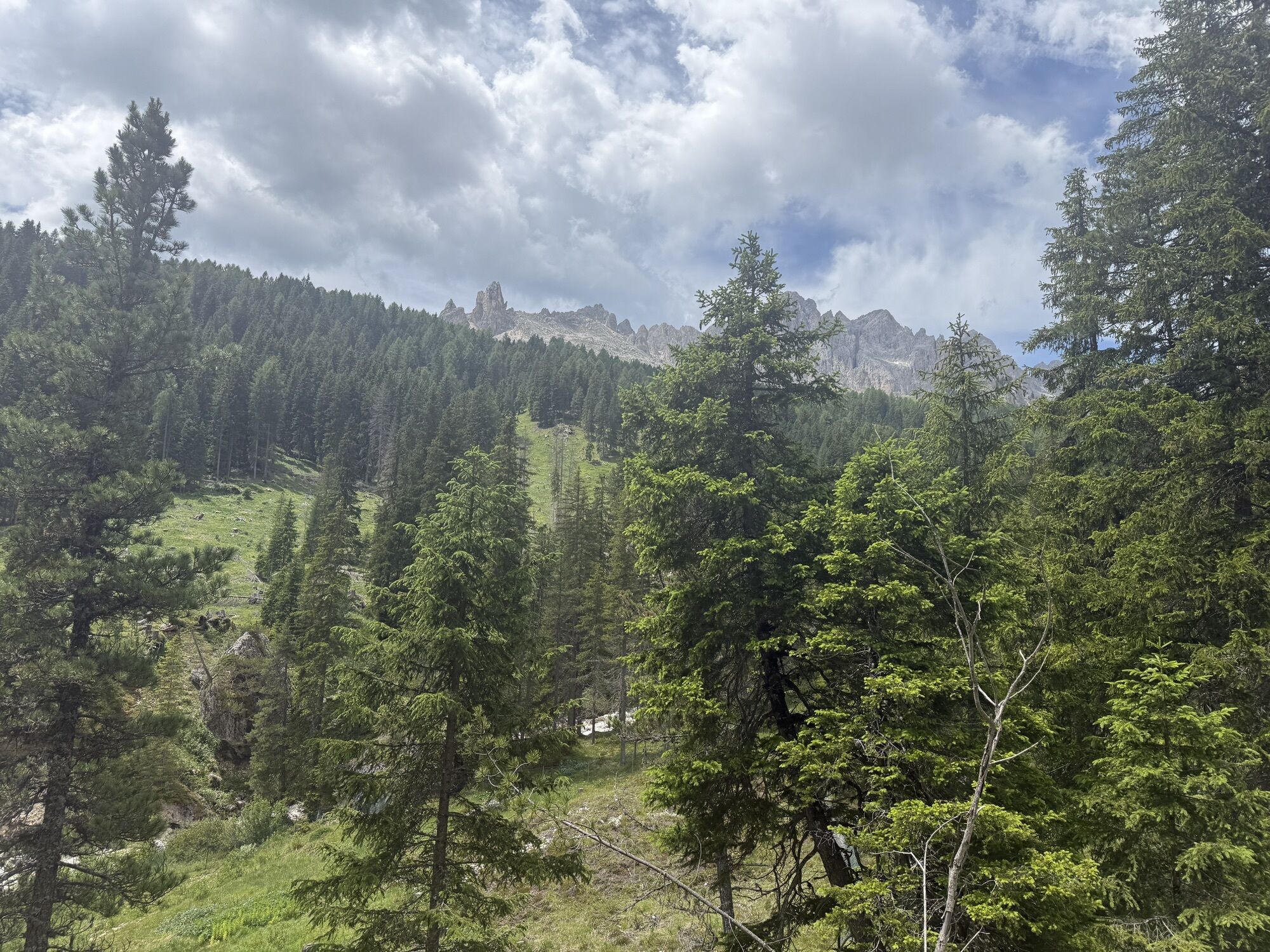
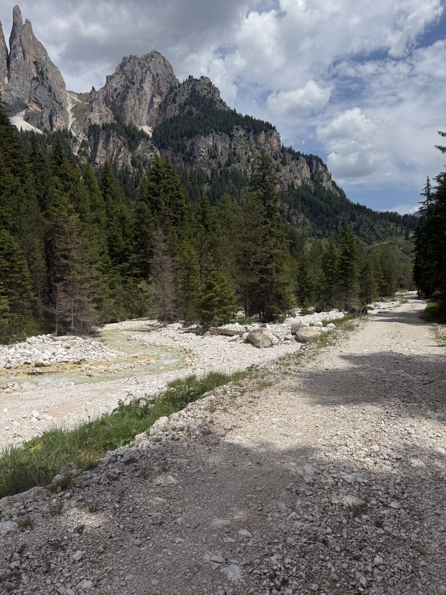
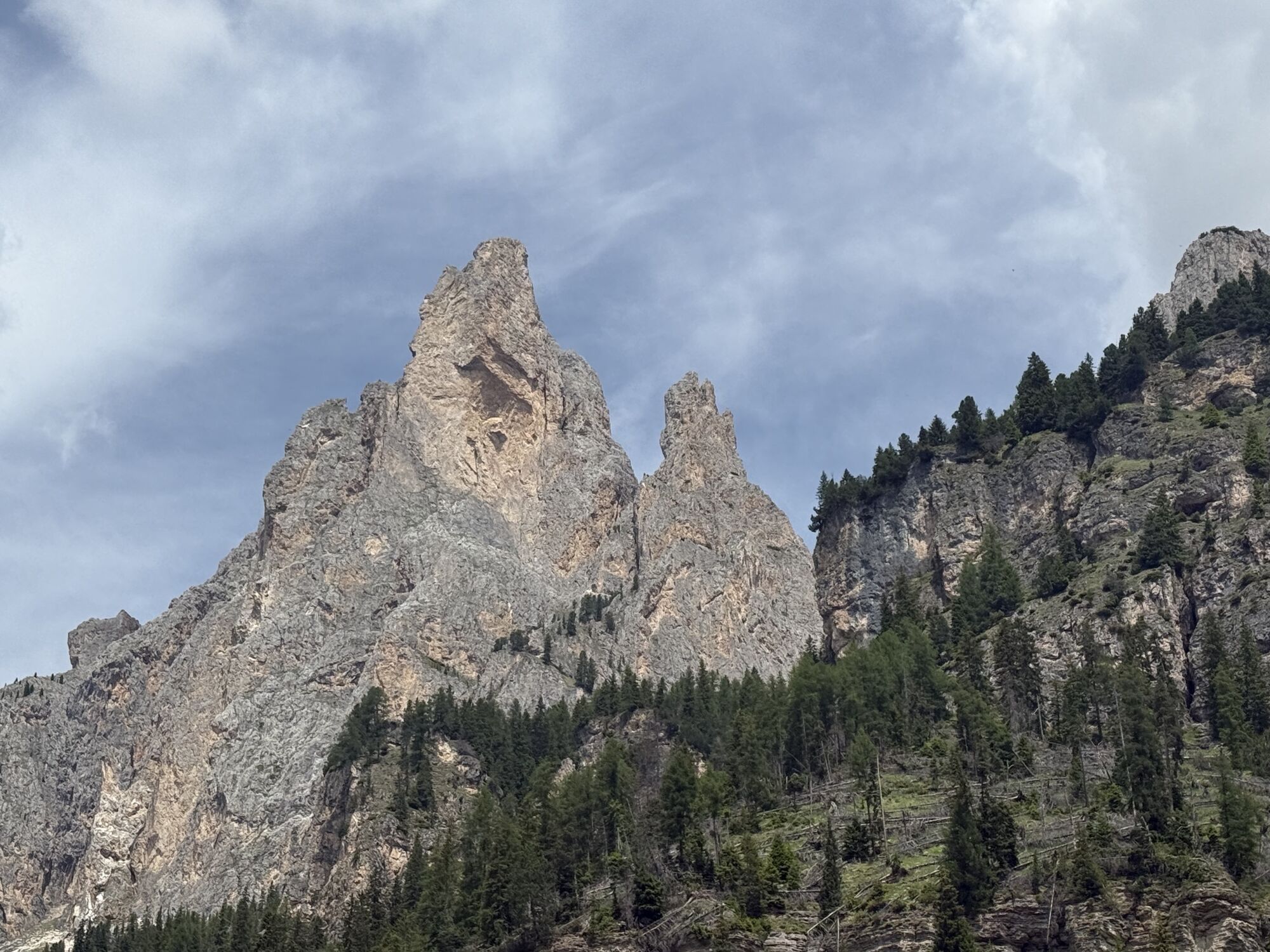
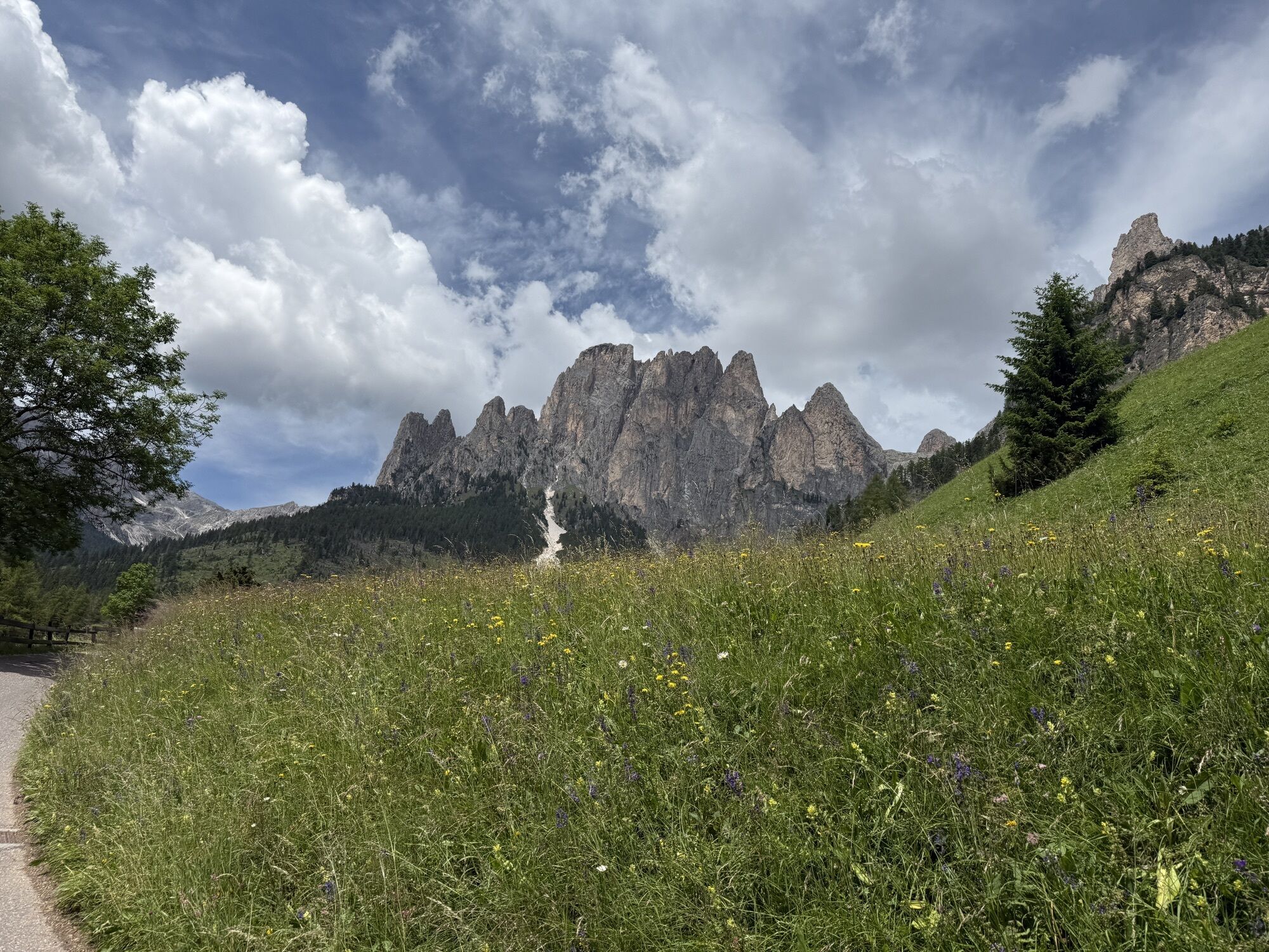
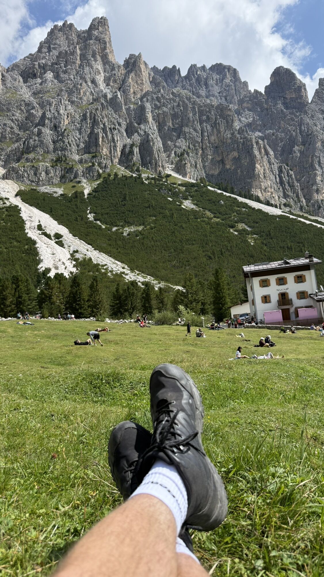
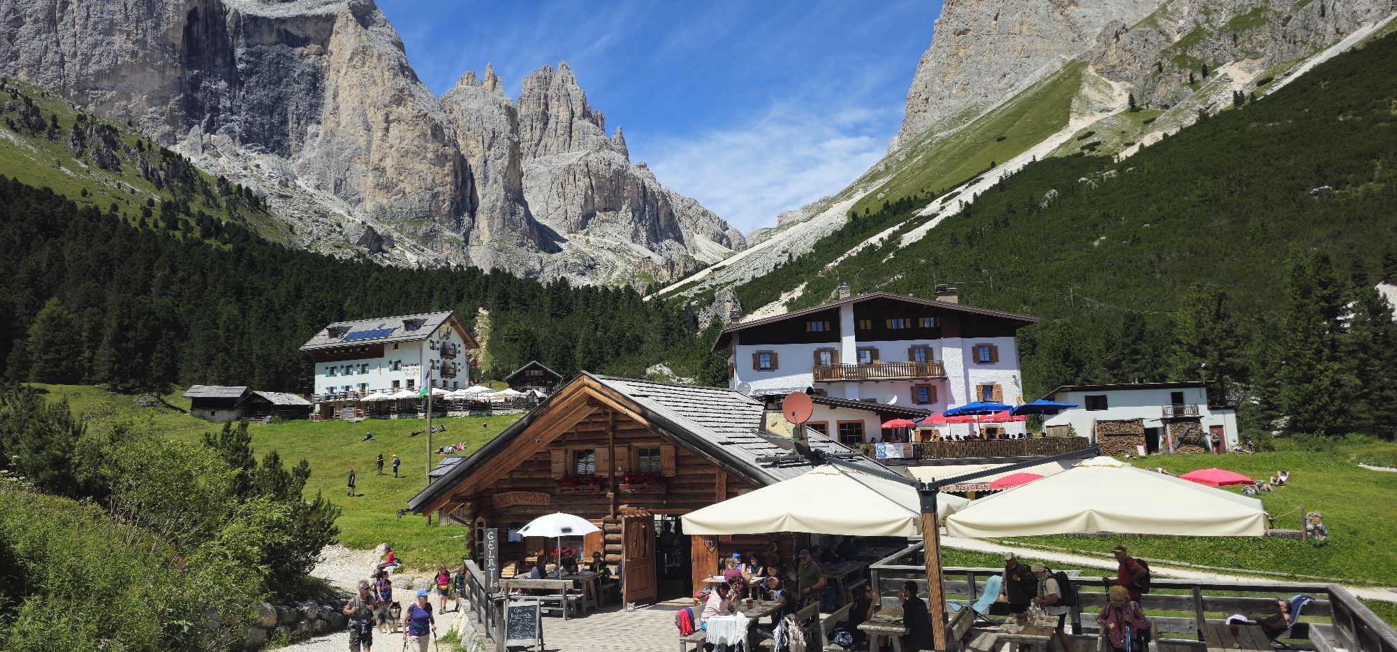
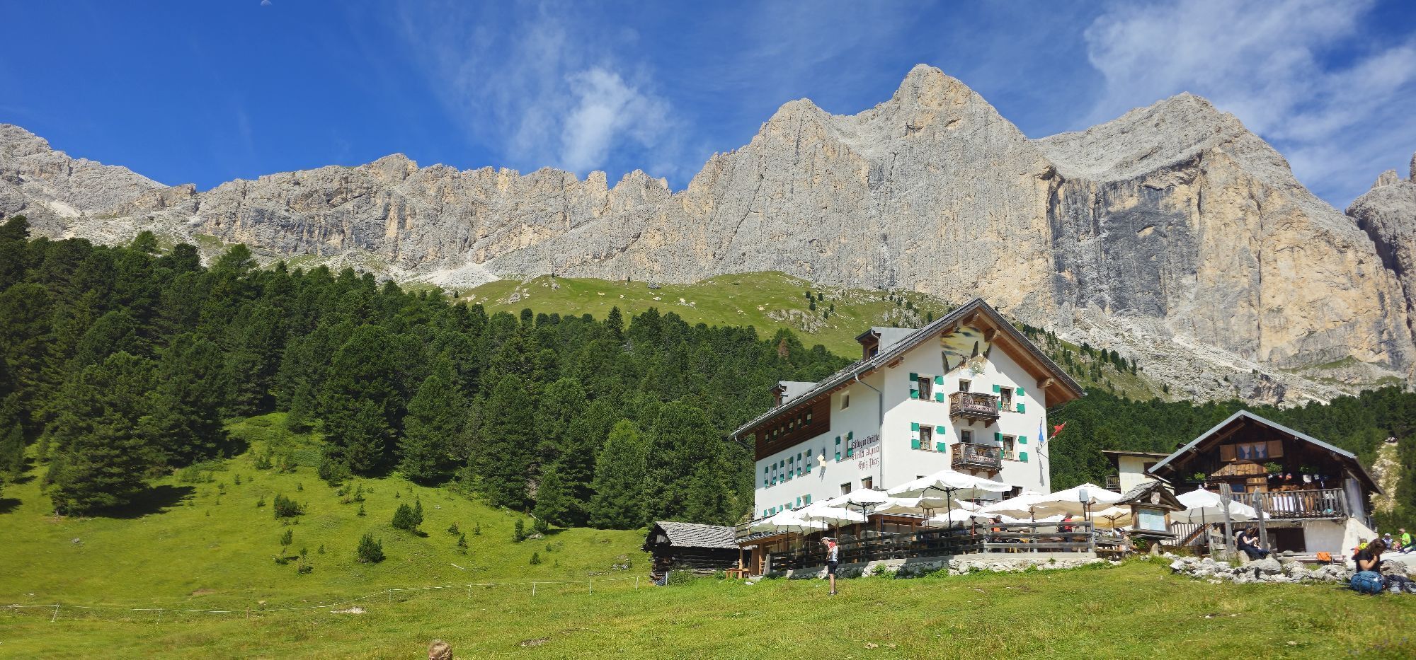
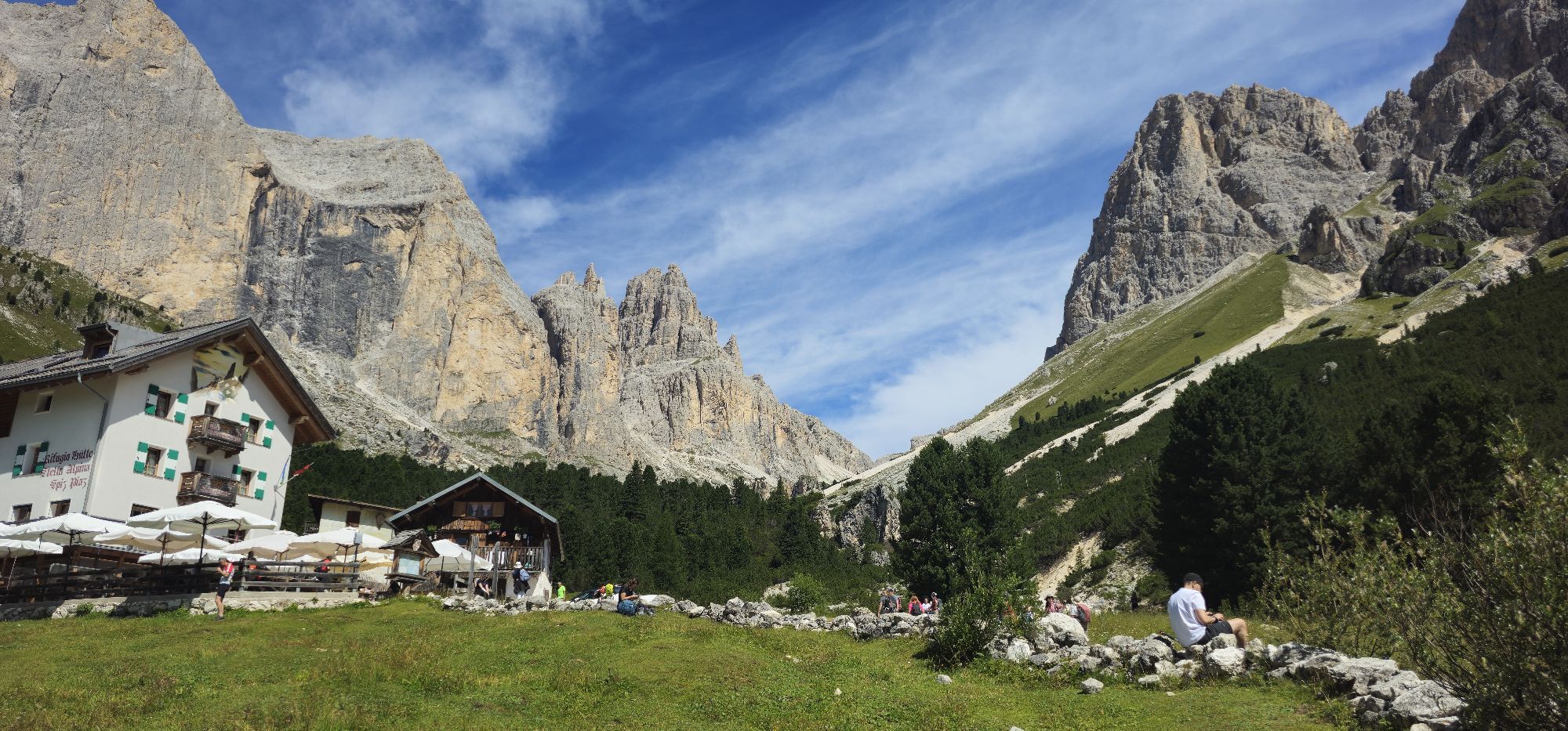
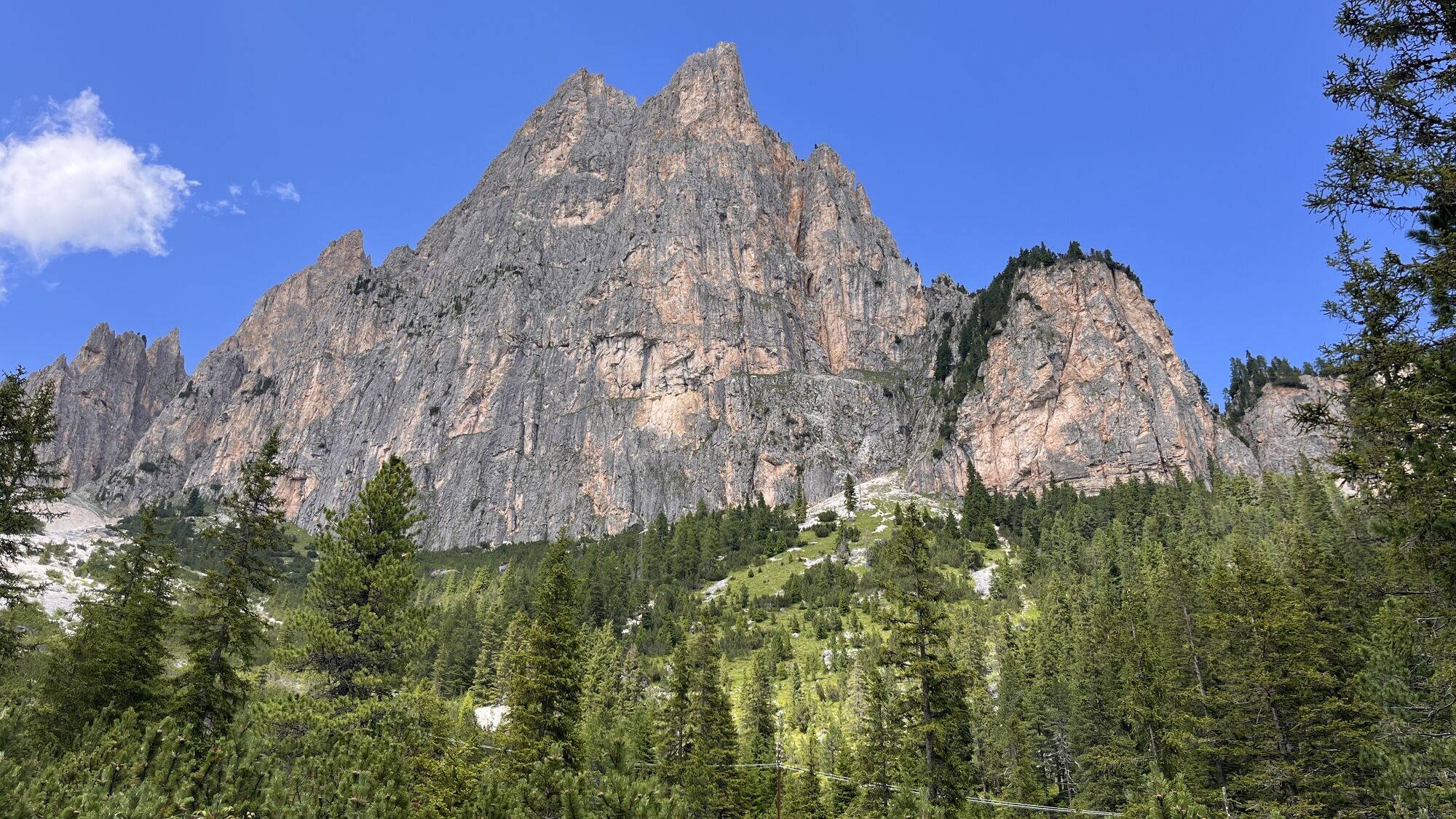
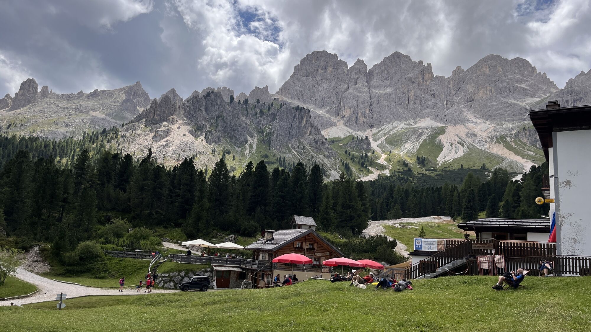
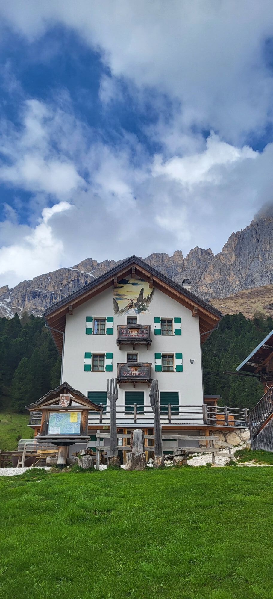
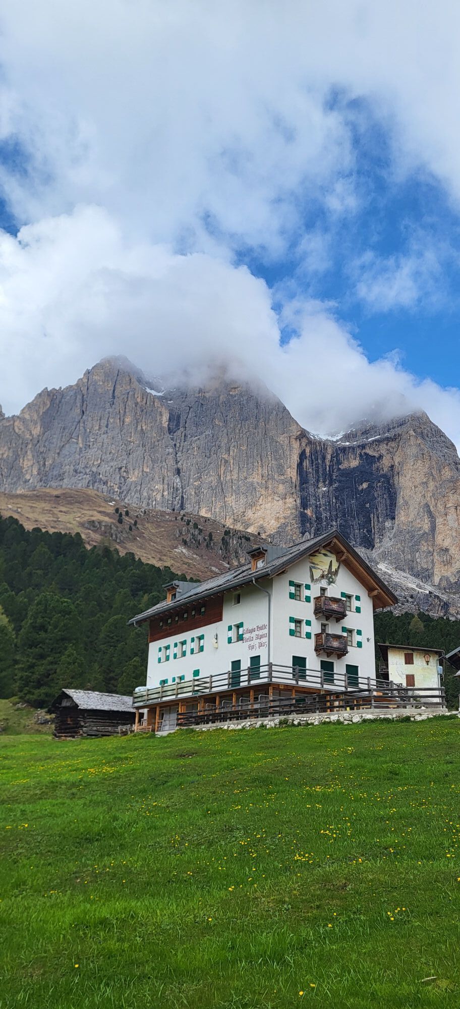
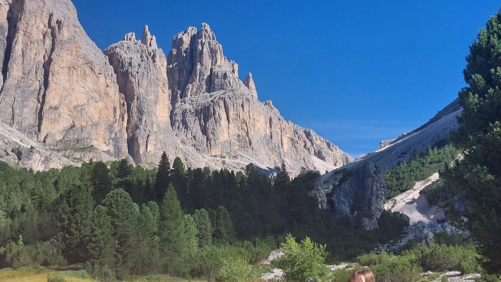
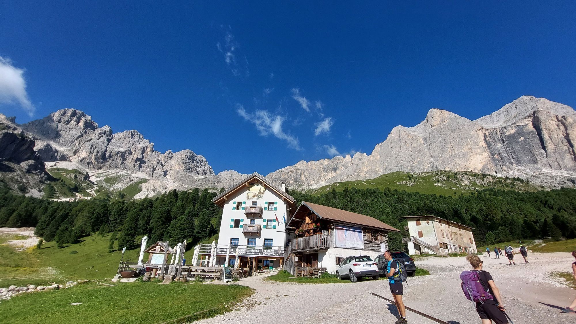
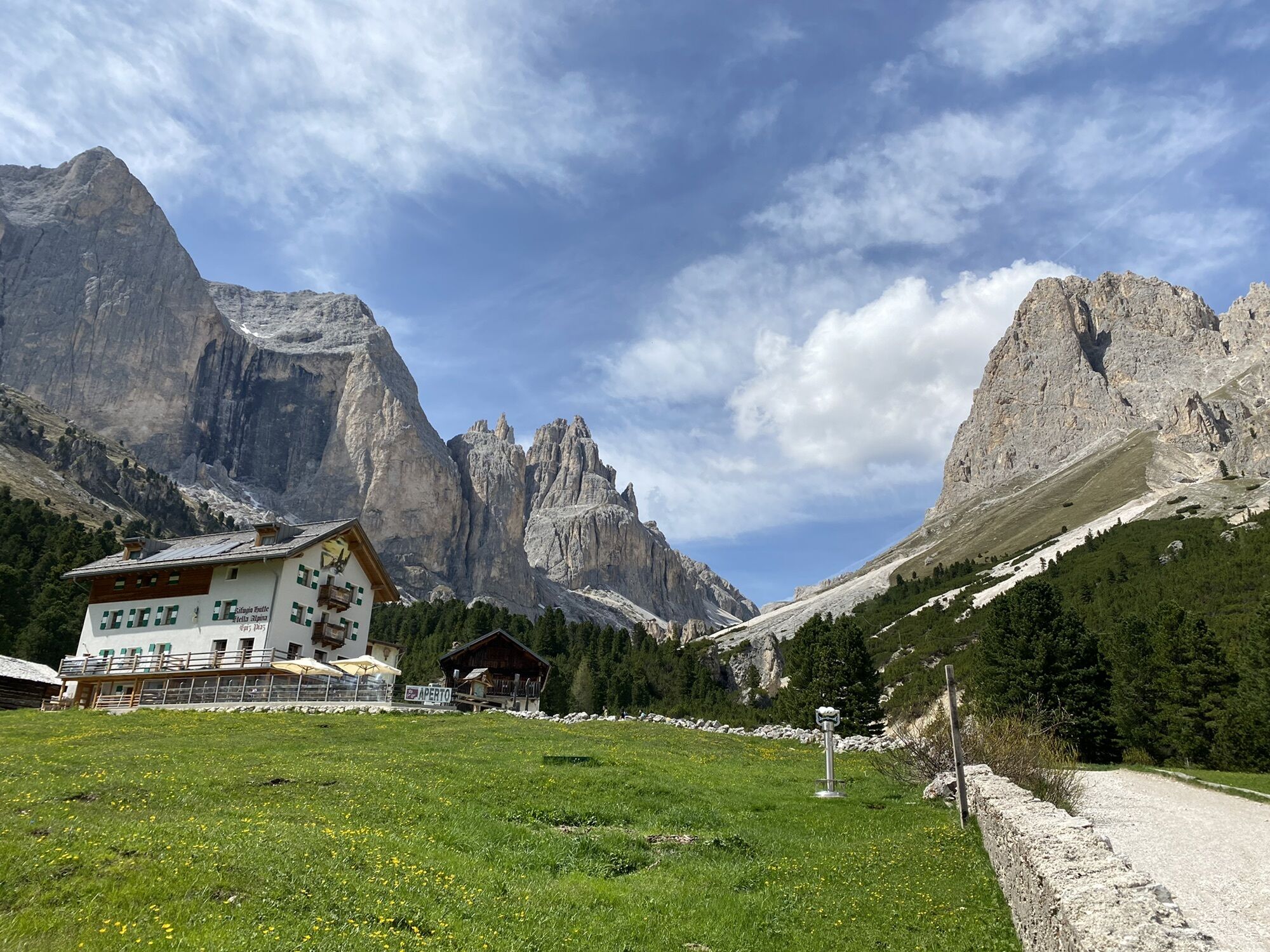
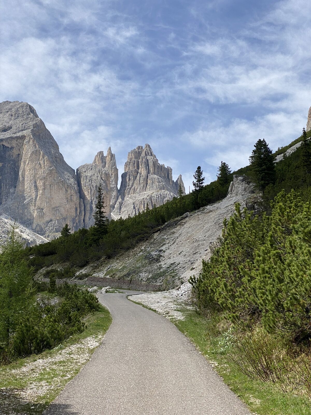
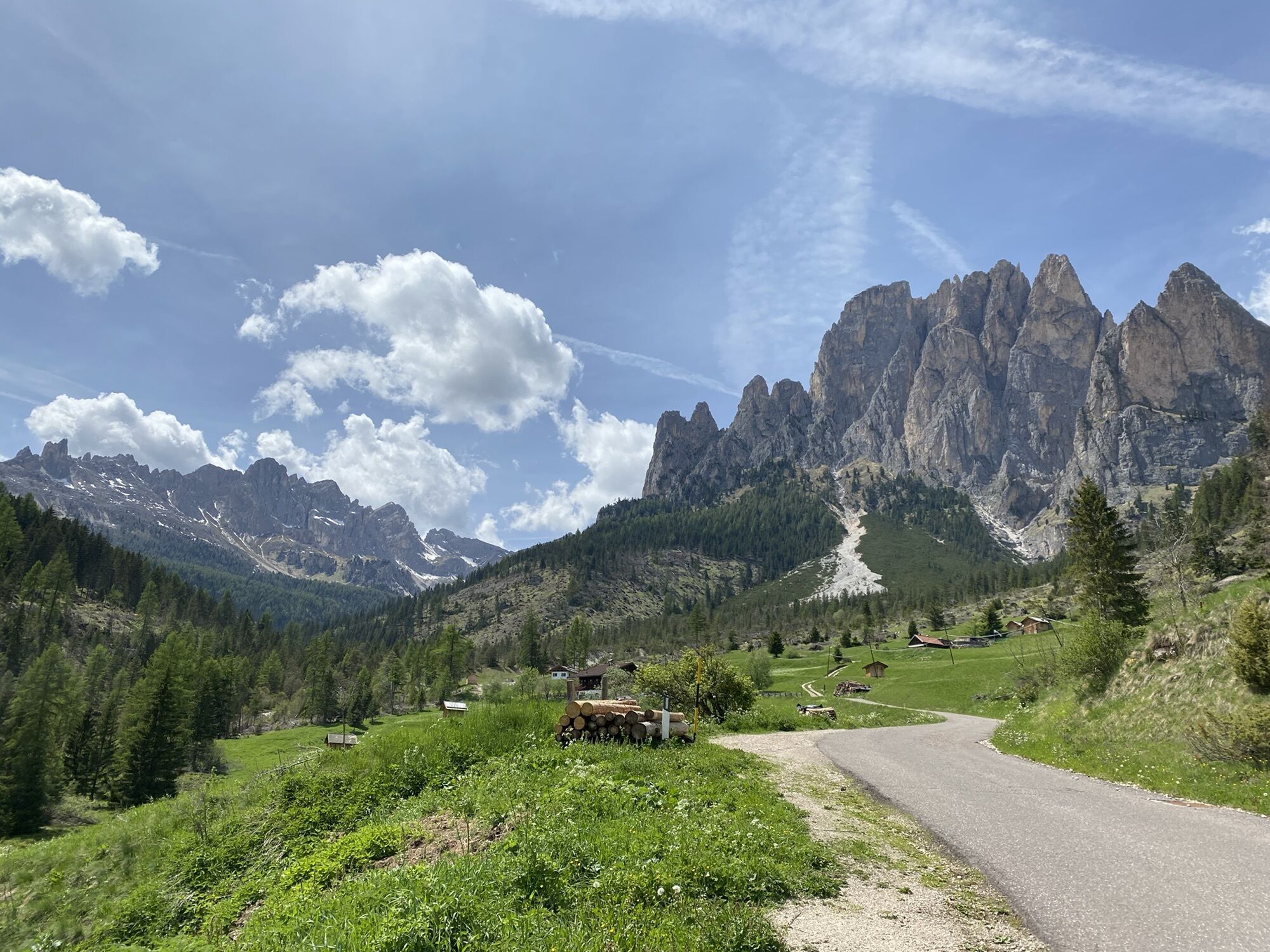
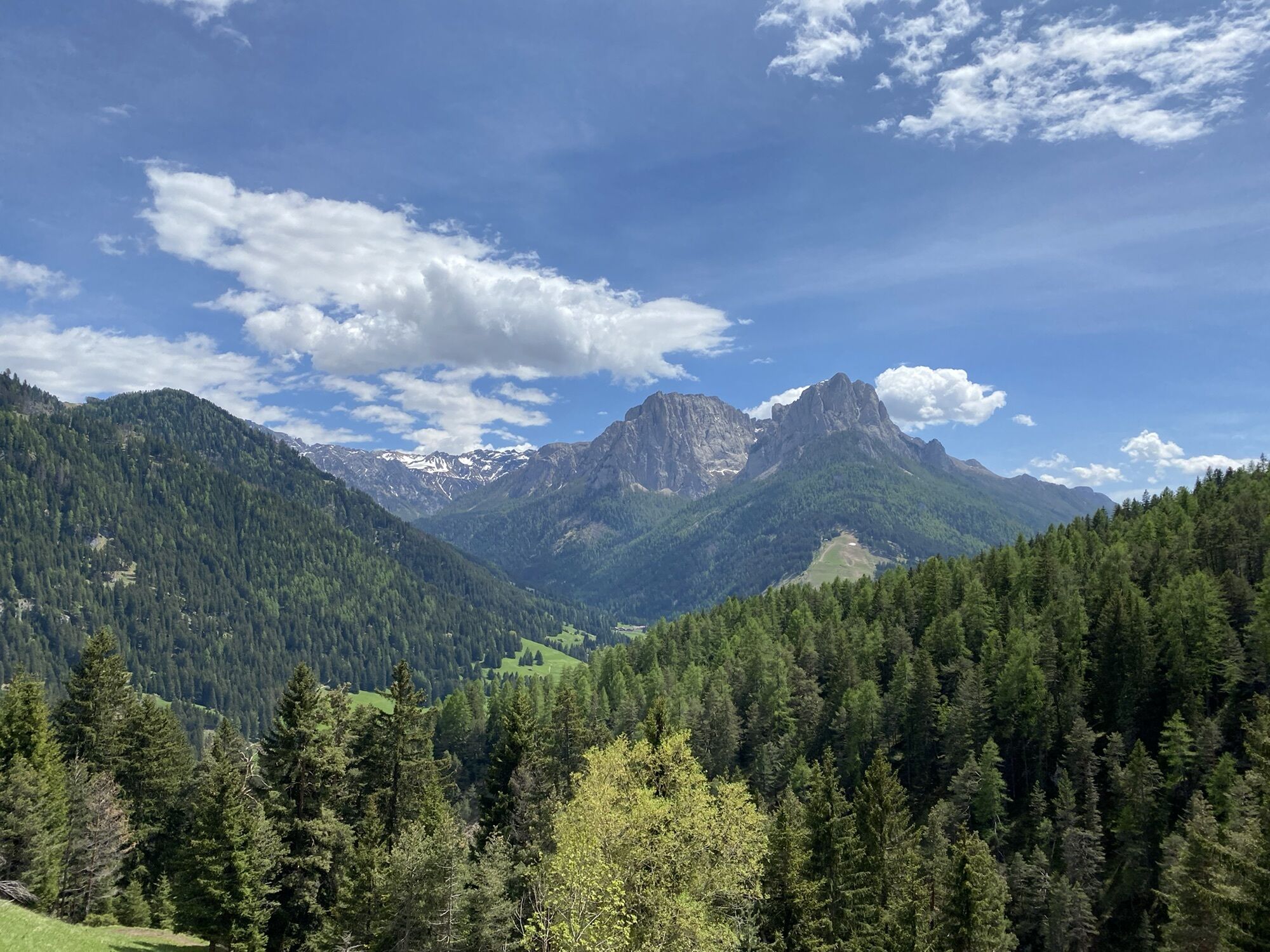
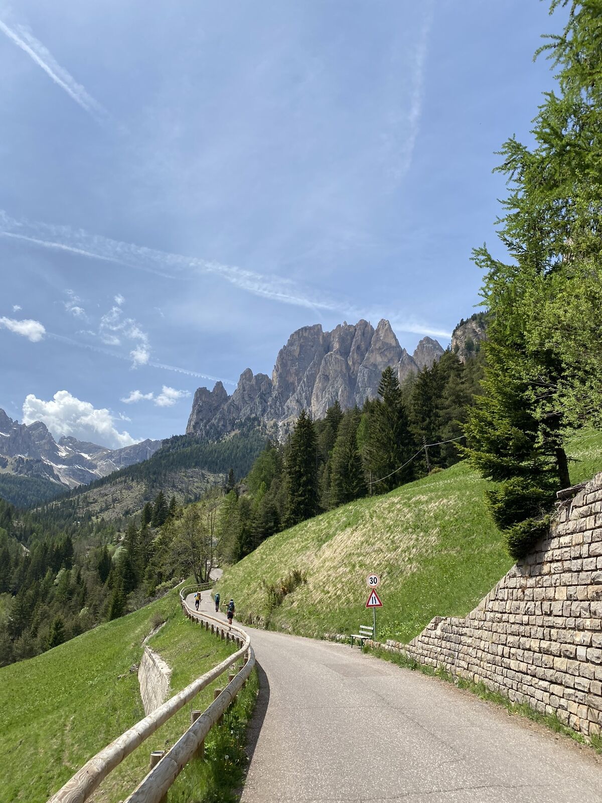
It’s a demanding route that concentrates 600 m of elevation gain in just 6,5 km (5,94 km of whom are without flat stretches), with an average gradient of 9,6%. From the roundabout in Pera, begin the ascent...
It’s a demanding route that concentrates 600 m of elevation gain in just 6,5 km (5,94 km of whom are without flat stretches), with an average gradient of 9,6%. From the roundabout in Pera, begin the ascent to the hamlet of Muncion (1,5 km), with stretches that touch a gradient of 15%. After leaving this suggestive village behind, with a breath-taking view on Pozza, Cima Undici and Cima Dodici, the road goes slightly down for about 500 m, it flattens for another 500 m and then it goes up again. The last 3 km are the most challenging: the road gets narrower, the asphalt seems to rear, climbing very tough stretches with gradient peaks between 10% and 16% (average gradient 13%). After two hairpin turns, pedal on a long straightaway for about 1 km at 17%. Afterwards, the ascent gets softer, the last 100 m are on gravel, and eventually you’ll reach the resort of Gardeccia.

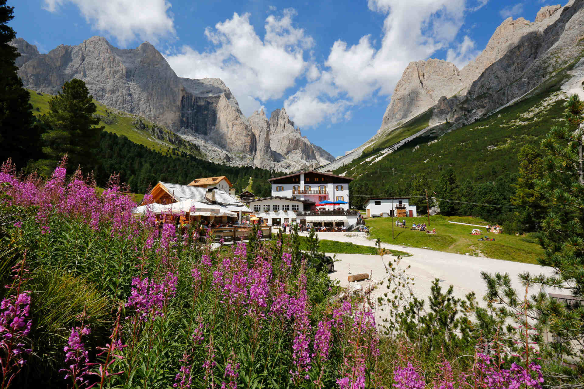
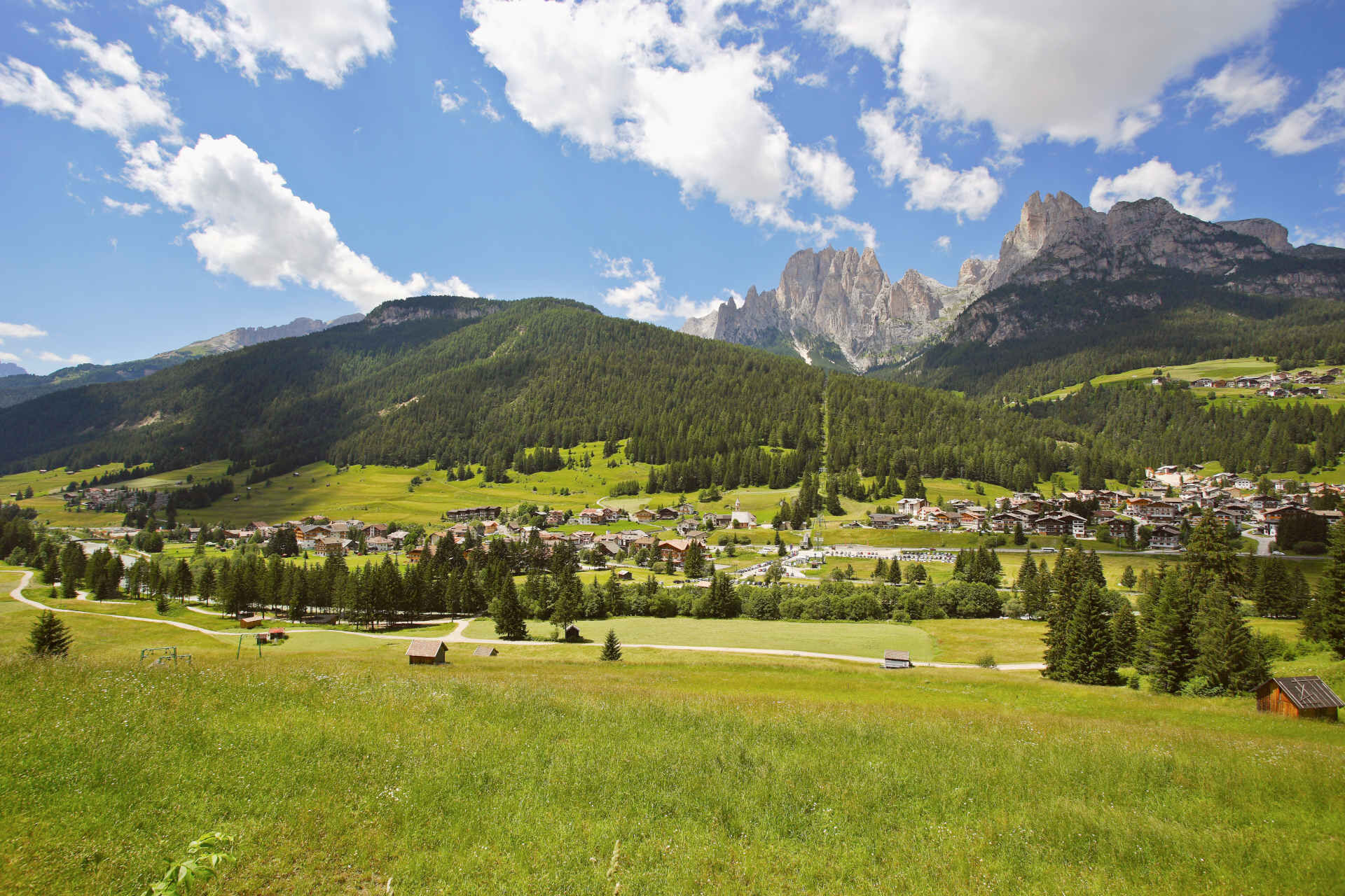
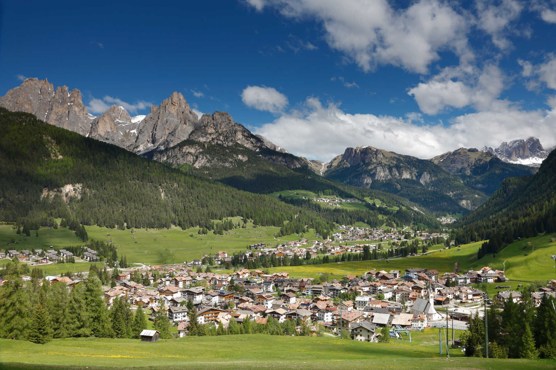
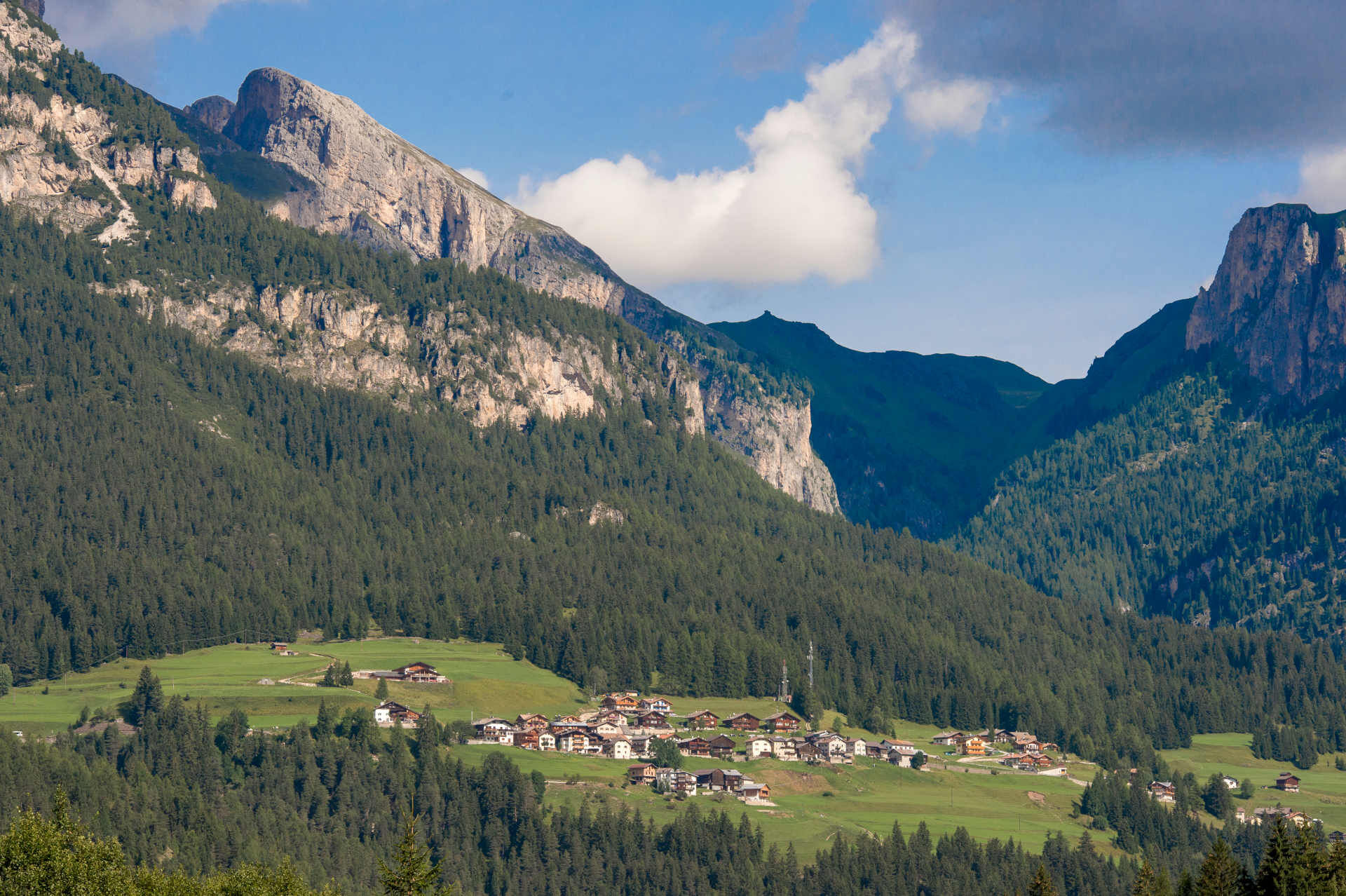
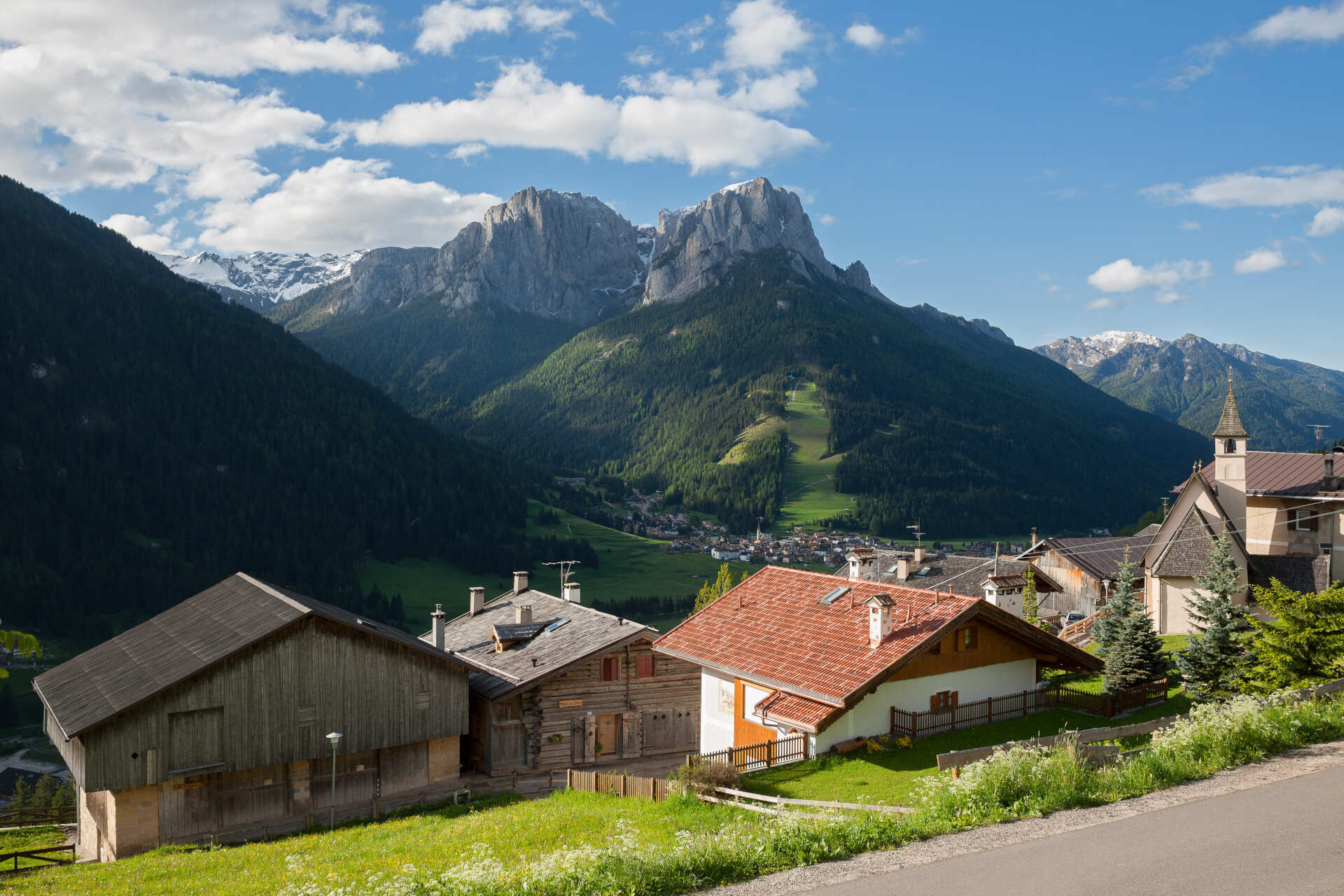
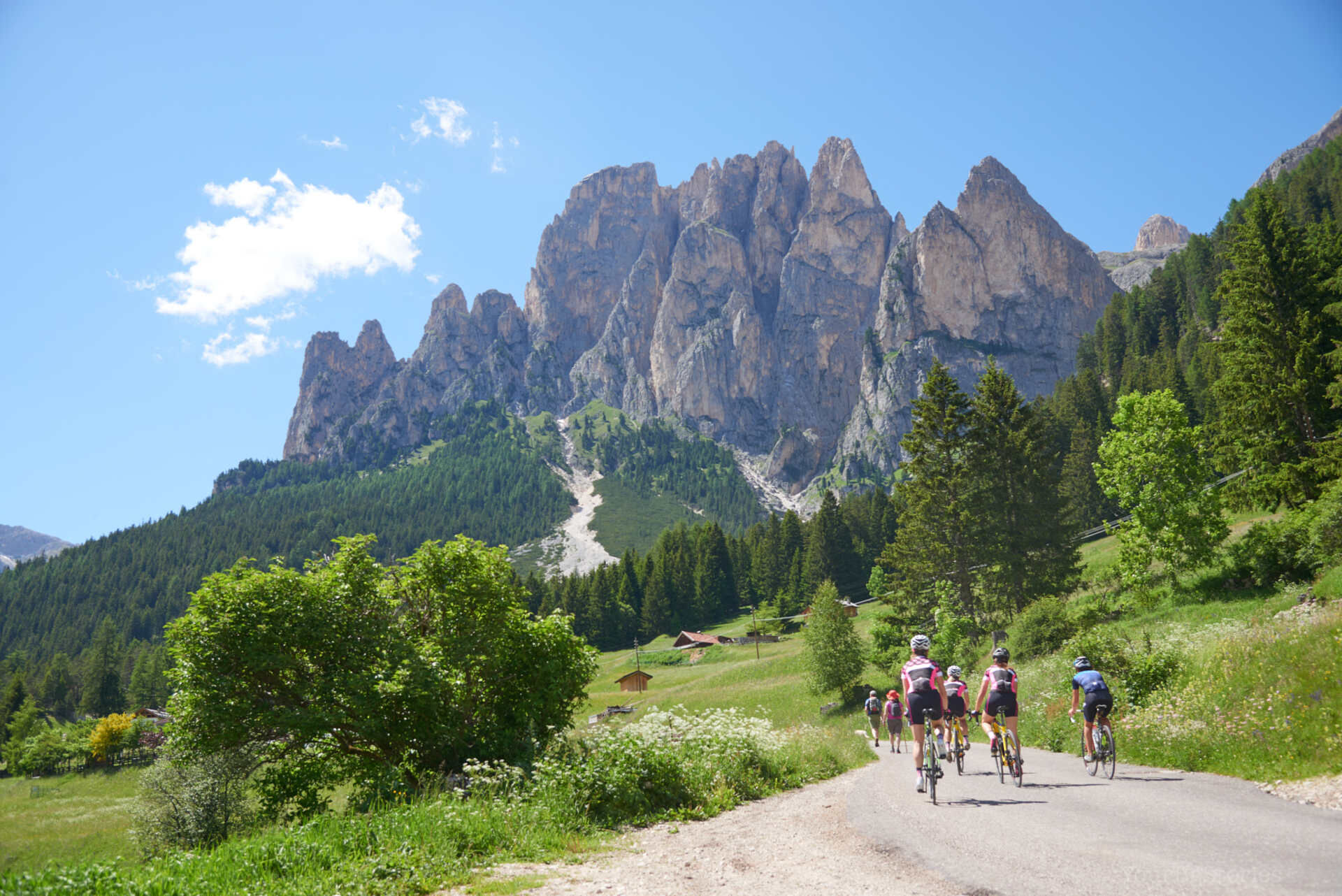
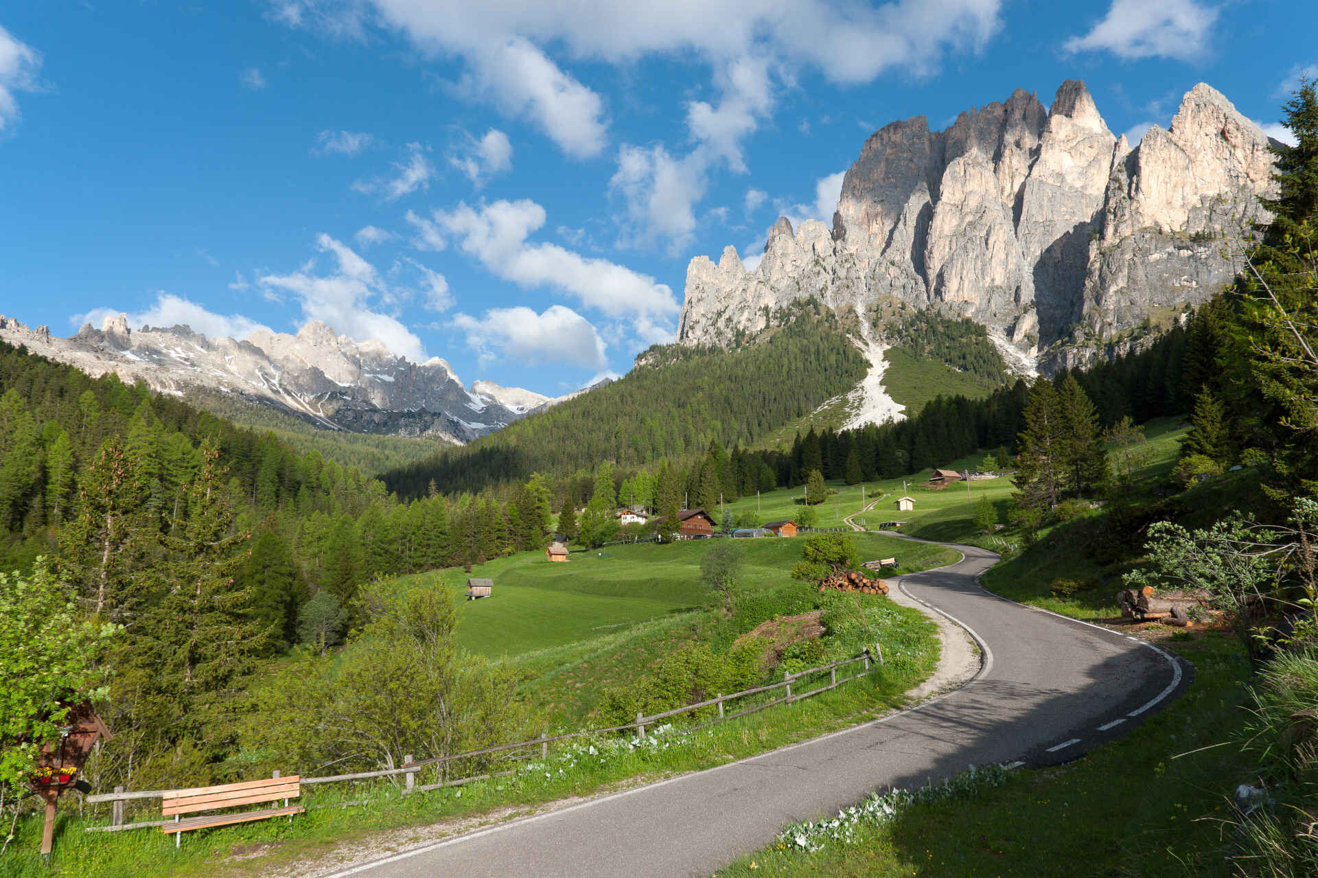
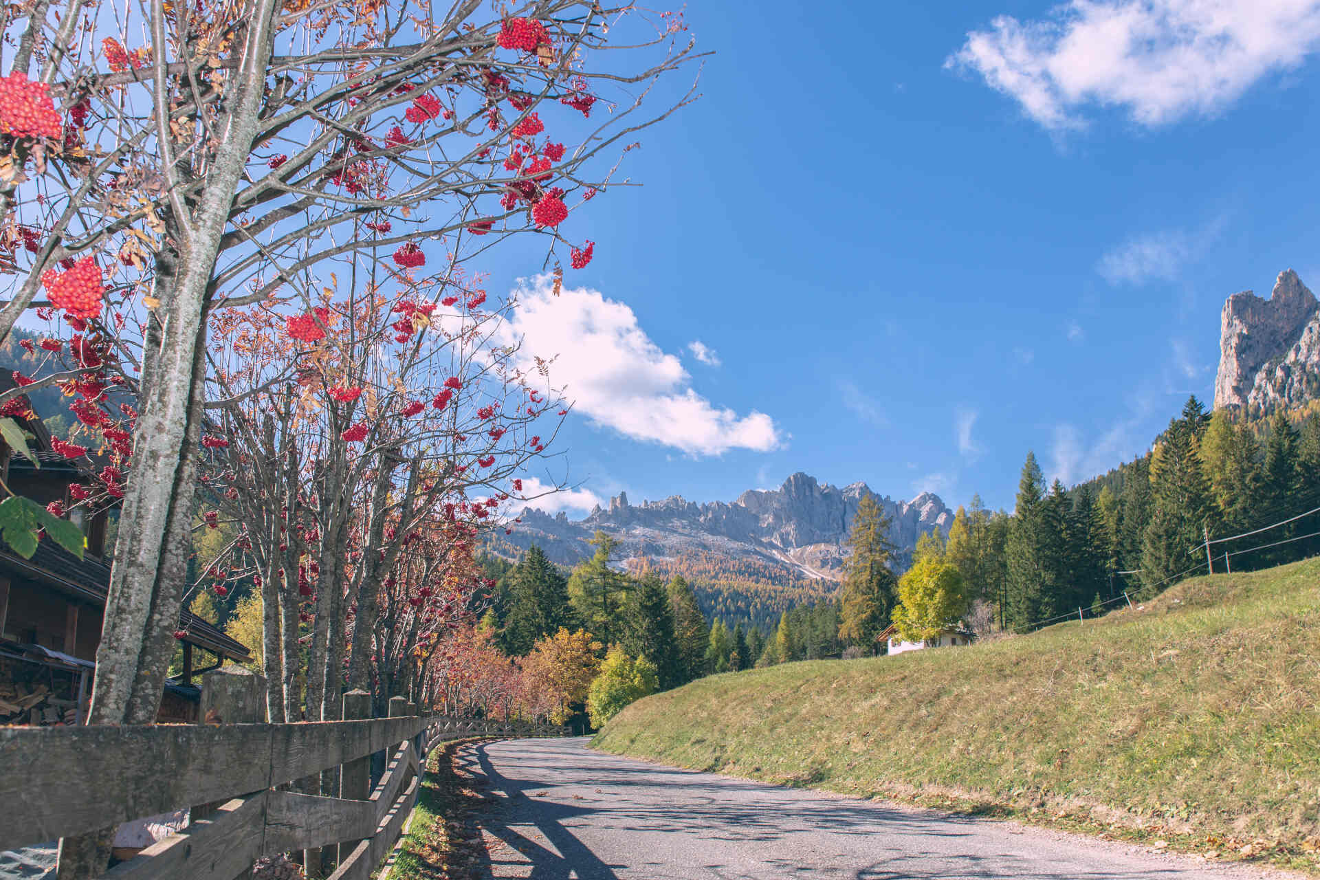
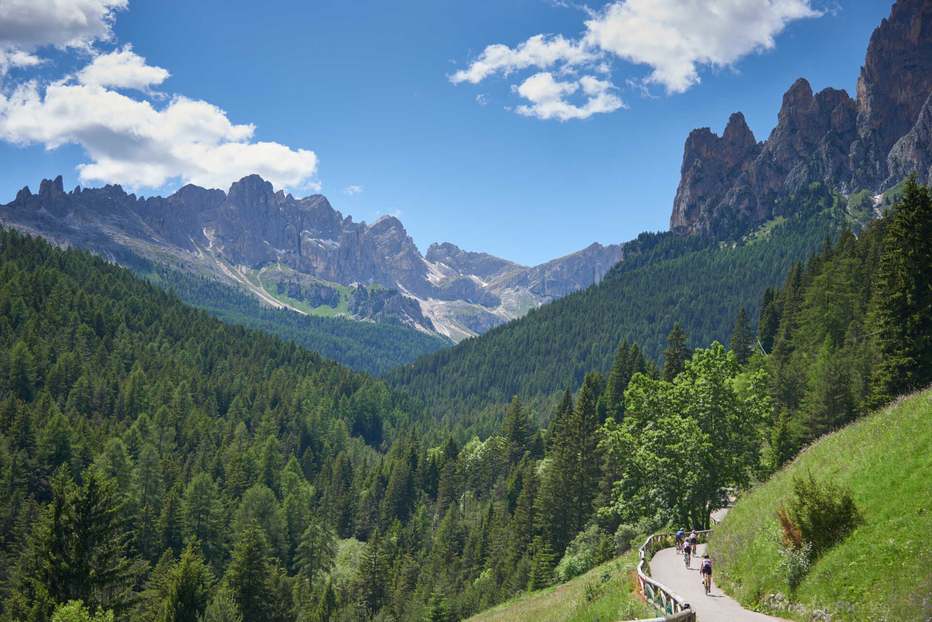
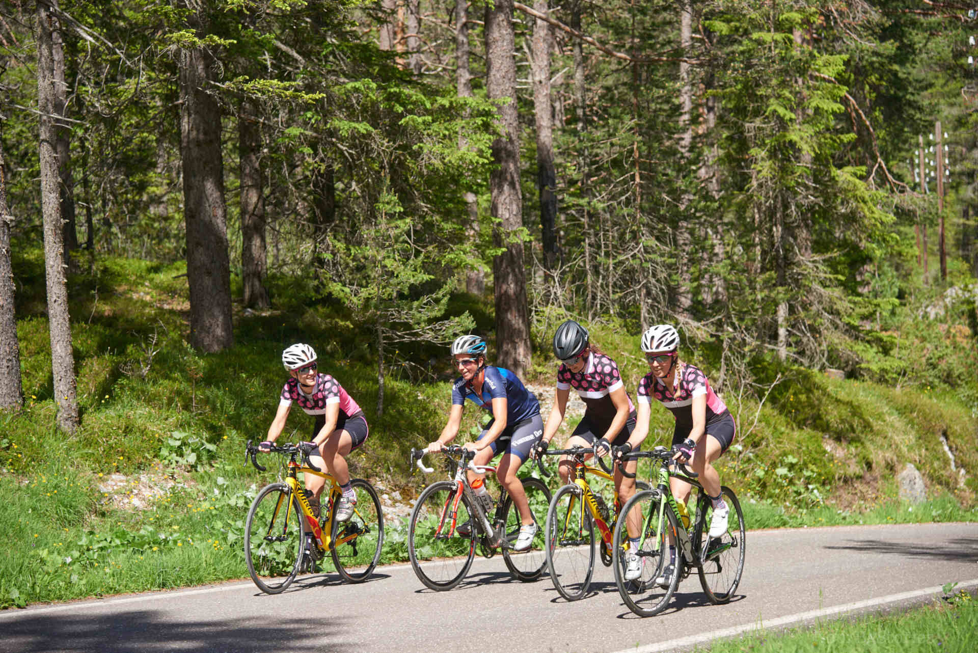

From the roundabout in Pera, begin the ascent to the hamlet of Muncion (1,5 km), with stretches that touch a gradient of 15%. Vehicle traffic is limited to residents and authorised vehicles.
Helmet, gloves, clothing adequate for the itinerary and the weather forecast. Charged gps with tracks. Puncture repair and multi-tool kit. In compliance with the rules of the road, bikes must absolutely be equipped with bell, headlights, taillights, and reflectors on the back, on the sides and on the pedals.
Plan a tour based on your skills and on the weather.
Proceed slowly, especially downhill, enjoy the view and the silence.
Adapt your speed, especially in turns, to the conditions of the ground.
Rely on the bike guides.
Wear adequate clothing and equipment.
Respect the environment surrounding you and bring your waste back.
Follow the rules of the road.
Be careful on the cycling and walking route.
Help those who need it.
If you come across pedestrians, warn them of your approach and slow down.
Andere Anfahrtswege in das Val di Fassa:
von der Autobahn A27 (Venedig), Ausfahrt Belluno/Ponte nelle Alpi, S.S. 203 Agordo und S.P. 346 San Pellegrino Pass - Moena (Val di Fassa). Von der Umfahrung in Moena in Richtung Canazei von der Autobahn A27 (Venedig), Ausfahrt Belluno/Ponte nelle Alpi, S.S. 203 Agordo/Alleghe/Rocca Pietore. S.P. 641 Fedaia Pass - Canazei von Arabba S.S. 48 Pordoijoch - Canazei vom Grödnertal S.S. 242 Sellajoch - CanazeiPublic transport lines SAD - Val di Fassa:
line no. 180 Pozza di Fassa - Vigo di Fassa - Carezza Pass - Bolzano line no. 471 Dolomites passes (Sella Pass, Gardena Pass, Campolongo Pass, Pordoi Pass, Fedaia Pass). Service available in summer onlyFree parking in Pera by the Fire Station (Strada Dolomites), the valley station of Vajolet chairlift and in the proximity of Piciocaa playground.
5
Strèda Roma, 36
38032 Canazei (TN)
Phone +39 0462 609500
info@fassa.com
www.fassa.com
Refreshment points at the arrival point. E-bike Bosch Power Station by Rifugio Gardeccia.

Webové kamery z prohlídky
-
Ciampedie - Rosengarten
-
Ciampedie - Rosengarten
-
Ciampedie - Rosengarten
-
Ciampedie - Rosengarten
-
Catinaccio - Rosengarten Pra Martin
-
Ciampedie - Rosengarten
-
Ciampedie - Rosengarten
-
Ciampedie - Rosengarten
-
Ciampedie - Rosengarten
-
Catinaccio - Rosengarten Pra Martin
-
Catinaccio - Rosengarten Pra Martin
-
Pozza di Fassa - Buffaure
-
Welschnofen Bergstation
-
Pozza di Fassa
-
König Laurin Bergstation

Aktivity na trase
-

Pozza di Fassa eMountain Biking
12.09.2026 – E-MTB -
Pozza di Fassa eMountain Biking
30.08.2026 – E-MTB -
Pozza di Fassa eMountain Biking
28.08.2026 – E-MTB -
Pozza di Fassa eMountain Biking
22.08.2026 – E-MTB -

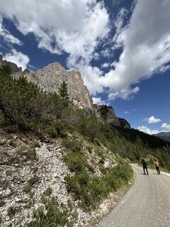
Percorso Gardeccia-Munción (fino a casa)
17.07.2026 – Turistika -
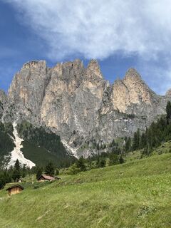
Percorso Munción-Gardeccia (da casa)
17.07.2026 – Turistika
Oblíbené prohlídky v okolí
-
4.1
Der Friedrich-August-Weg
středníTuristika 10.4 km -
4.9
Torre di Pisa mountain hut
středníTuristika 9.09 km -
4.8
Pordoi Pass - Sass Pordoi - Forcella Pordoi - Piz Boè - Boè Refuge - Forcella Pordoi - Pordoi Pass
heavyTuristika 8.39 km -
5.0
Langkofel Klettersteig/Ferrata Furcela de Saslonch
heavyVia ferrata 7.07 km -
5.0
Um den Langkofel
středníTuristika 9.76 km -
4.4
Viel dal pan
světloTuristika 6.60 km -
4.9
Tour zur Prossliner Schwaige entlang vieler Wasserfälle.
středníTuristika 13.9 km -
4.9
Lang- und Plattkofel Umrundung
středníTuristika 17.5 km -
4.8
Schlern Bersteigung
středníTuristika 19.1 km -
4.8
Santnerpass Klettersteig
středníVia ferrata 8.29 km
Pěší turistika a stopování


Nenechte si ujít nabídky a inspiraci pro vaši příští dovolenou
Vaše e-mailová adresa byl přidán do poštovního seznamu.





