







Val di Sadole and the Great War - Tour 929
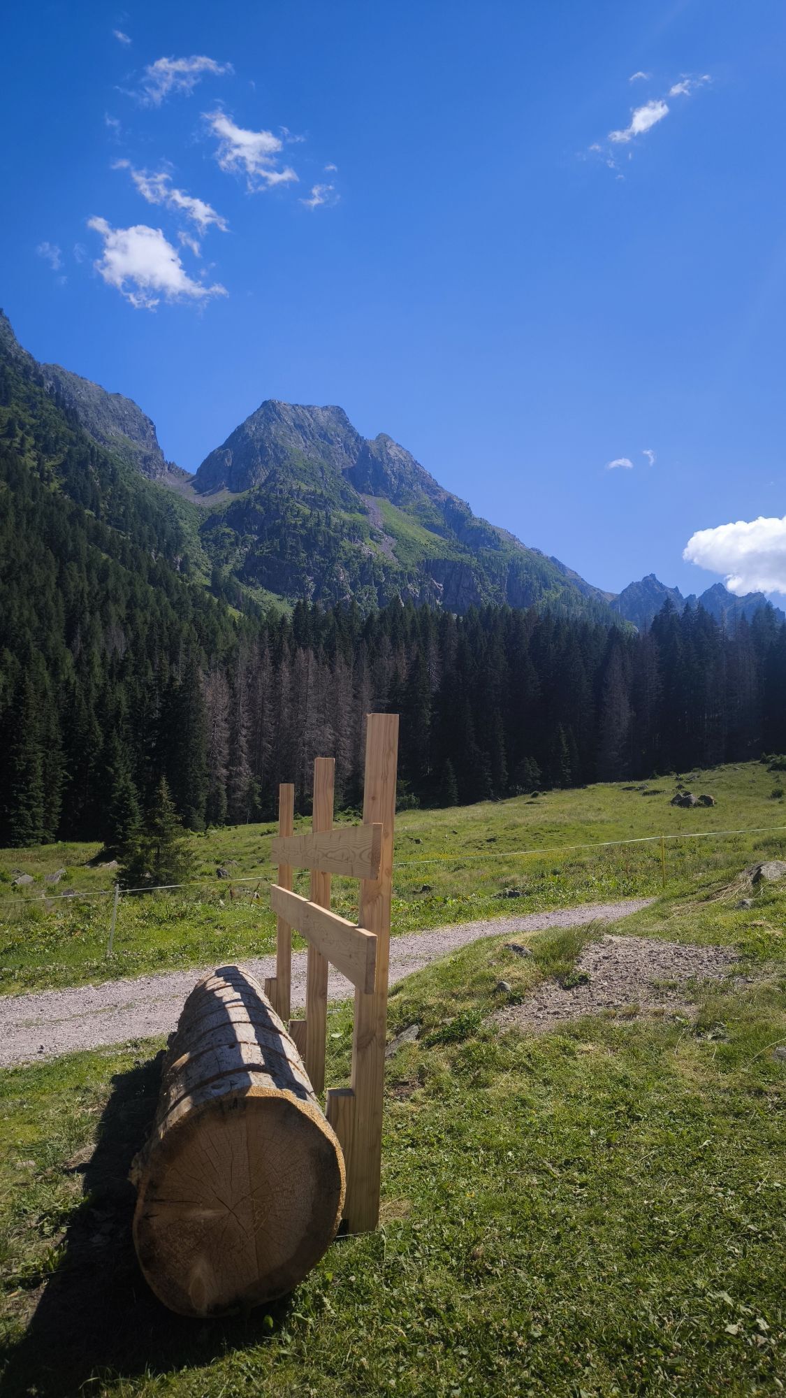
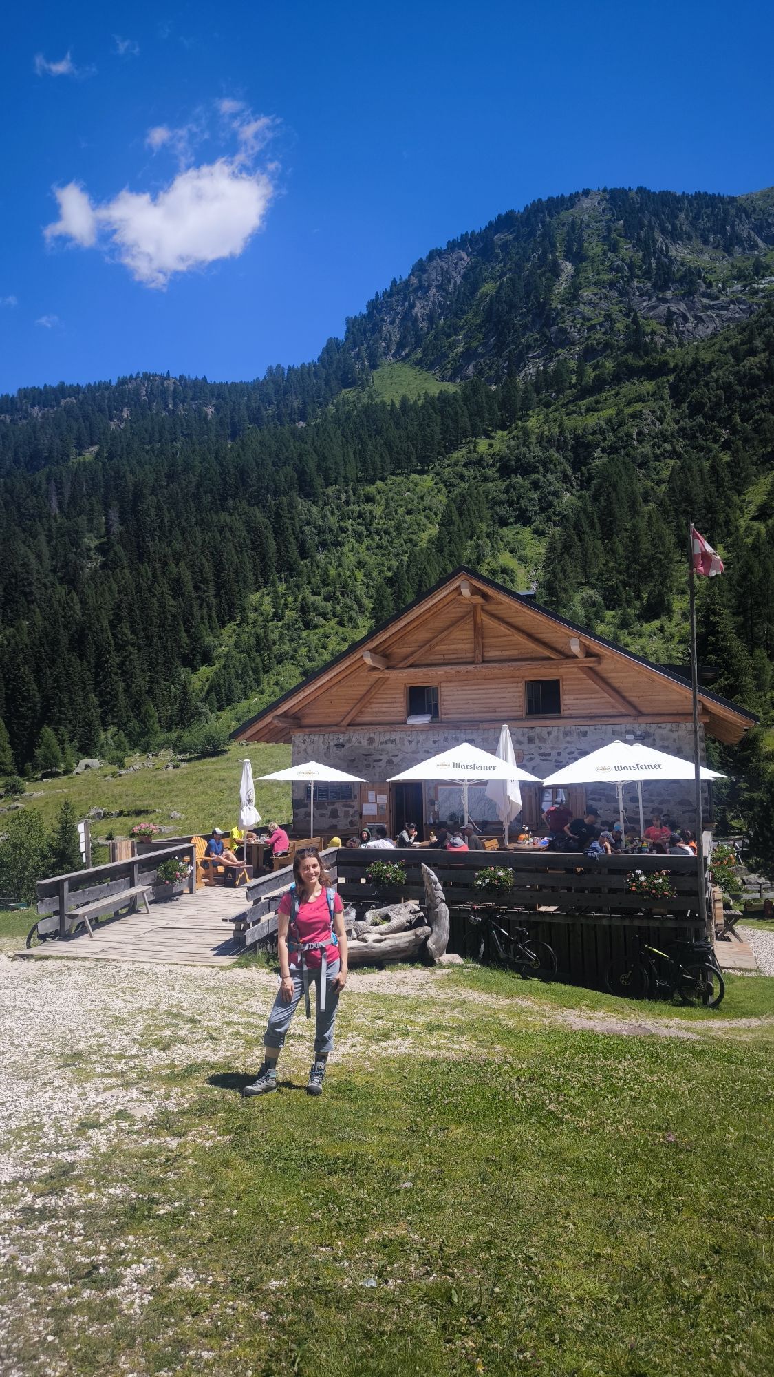
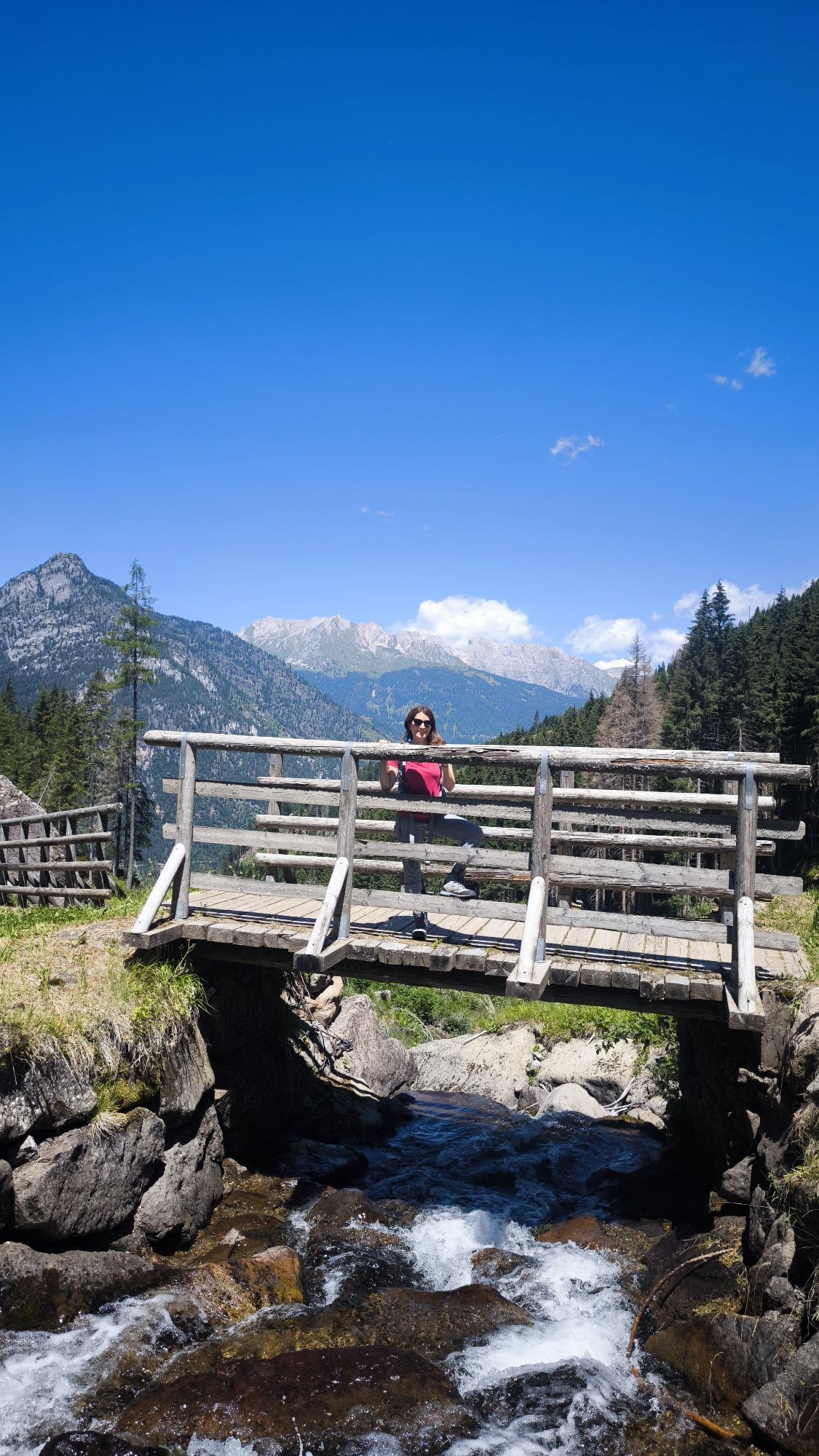
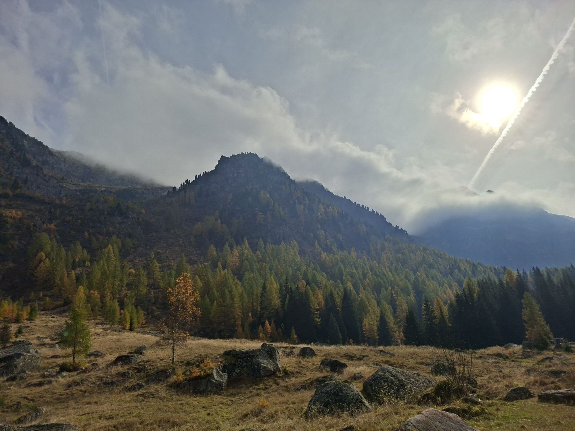
The name of the trail pays attention to the fact that you cross places that characterized the First World War, between the Austrian and the Italian front. Once at the destination, between the Cauriol mountain...
Monte Cauriol and Monte Cardinal were witnesses of the Great War, with thousands of deaths due to the fierce fighting, but also due to the frost and avalanches.

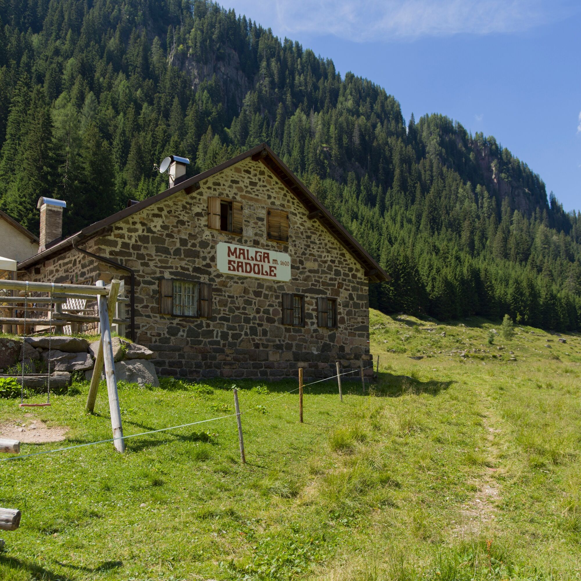
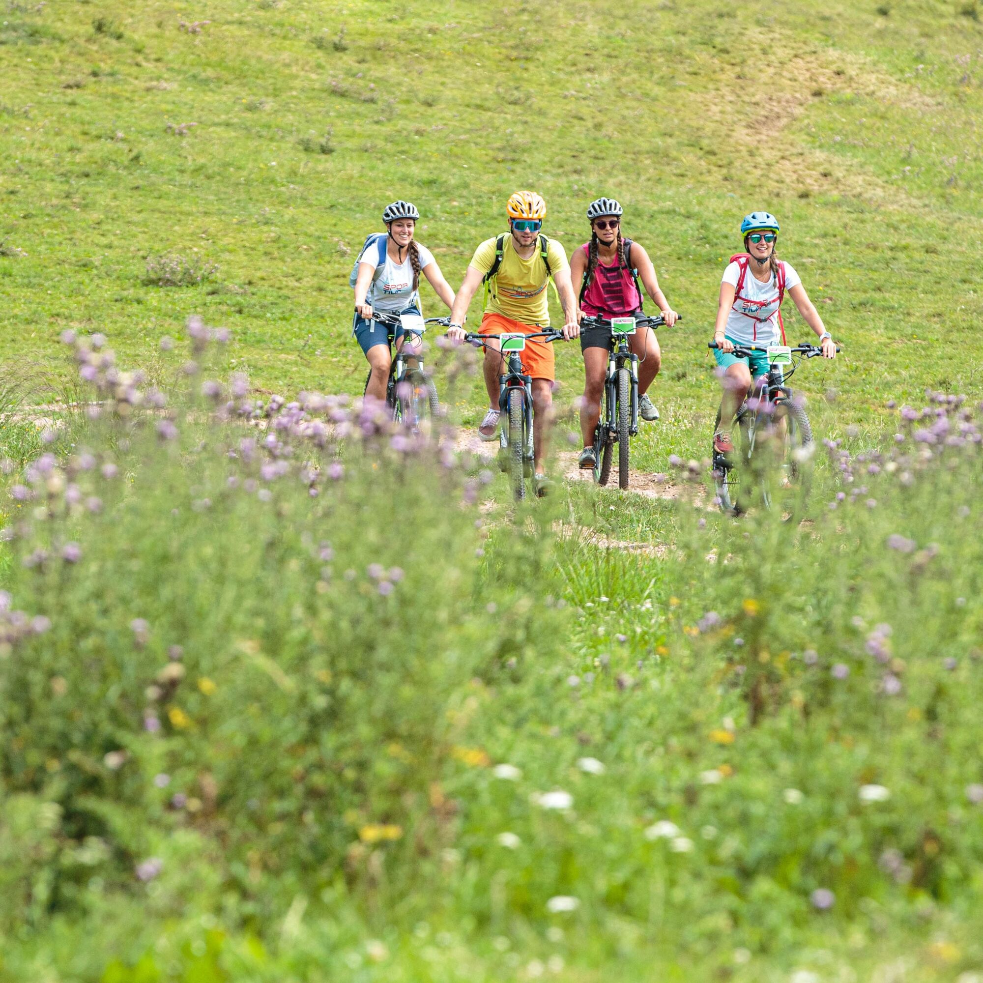
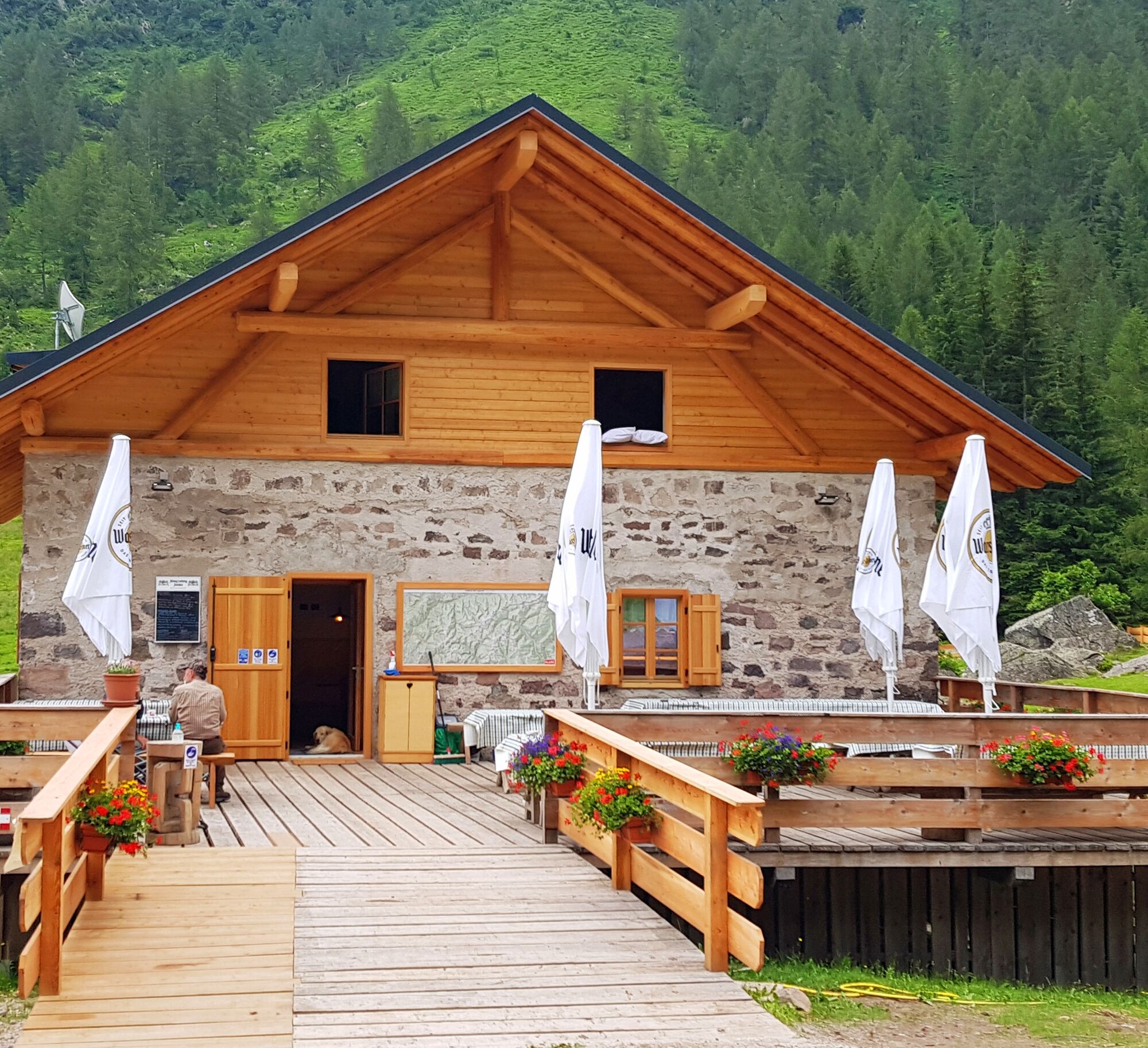
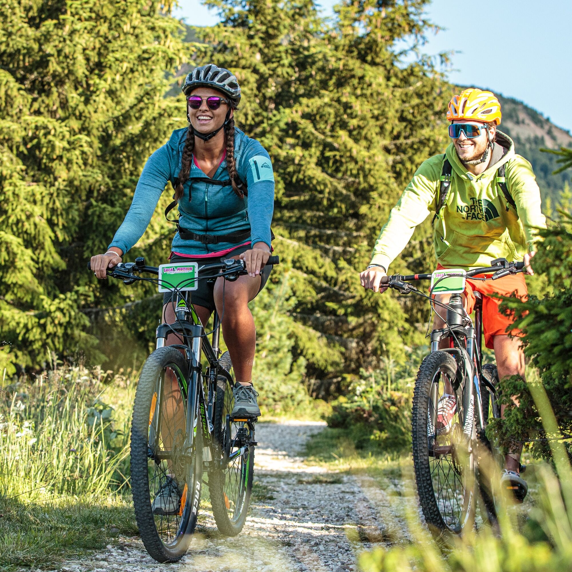

The trail’s name recalls the settings of World War One which included also this territory, located between the Italian and Austrian fronts. From Ziano ride up to Val Cavelonte on a not-too-challenging forest road. Afterwards, the climb increases and the route makes a sharp turn to the left at the little church, and continues with up-and-downs into the wood, leading to the wide sunny meadows of Val di Sadole, where cows graze. At the end of the valley, Mount Cauriol stands out, whose top is 7 meters shorter than it was originally due to a bomb explosion during World War One. Ride back on the same trail for about 3 km, then take the road on the right which leads to Ziano.
It is always advised to let someone know where you plan to go and how long you expect to be.
Emergency telephone number 112
Along all routes, always pay attention to other people and vehicles coming from both directions. MTB routes are not for bikers only.
After windstorm Vaia in October 2018, forest roads are used also by heavy vehicles to transport wood.
When riding on streets, bikers have to respect the traffic code just like drivers.
BIKER’S CODE OF RESPONSIBILITY
Plan your ride Share the trail with other users Yield right of way to hikers Let your speed be determined by your experience Ride slowly on crowded trails, overtake with politeness and respect Cycle only on authorized and open trails Avoid muddy trails in order not to damage them further Respect nature, plants, animals and the trail Do not frighten animals Take your rubbish home with you Respect public and private property Always be selfsufficient Do not cycle solo in remote areas Take back home only good picsALWAYS WEAR YOUR HELMET !
Please note that the practicability of the itineraries in a mountain environment is strictly linked to the contingent conditions and it is therefore influenced by natural phenomena, environmental changes and weather conditions. For this reason, the information contained in this page may have changed. Before leaving for a tour, make sure the path you will approach is still accessible by contacting the owner of the mountain hut, the alpine guides or the visitor centres of the nature parks, the info offices of the local tourist board.
Ziano di Fiemme is located on the main road that crosses all the villages of Val di Fiemme (S.S N° 48 of the Dolomites)
You can reach Ziano di Fiemme by bus (public transport "Trentino Trasporti").
In Ziano di Fiemme there are several parkings.
Also suitable for E-MTB. Although the technical level required is not very high, the altitude difference still requires good physical fitness. E-bike charging station at Malga Sadole.

Oblíbené prohlídky v okolí
- 4.8
Torre di Pisa mountain hut
středníTuristika 9.09 km - 4.5
Cavallazza Peak
středníTuristika 7.82 km - 5.0
Latemar Umrundung - die Kurze und Bequeme
středníTuristika 12.1 km - 4.8
Tour of Monte Cornon
středníTuristika 7.65 km - 4.8
Latemar Panorama
středníTuristika 11.7 km - 4.9
Cima d’Asta (vetta via normale)
středníTuristika 17.5 km - 4.2
The three lakes
středníTuristika 11.1 km - 2.8
Wanderung zur Latemarhütte
středníTuristika 7 km - 4.8
Latemar.Panorama
světloTematická stezka 7.83 km - 4.5
Tour of Lusia Lakes
středníTuristika 13.0 km

Pěší turistika a stopování


Nenechte si ujít nabídky a inspiraci pro vaši příští dovolenou
Vaše e-mailová adresa byl přidán do poštovního seznamu.





