







Moena - Alpe Lusia - Moena

Úroveň obtížnosti: S2

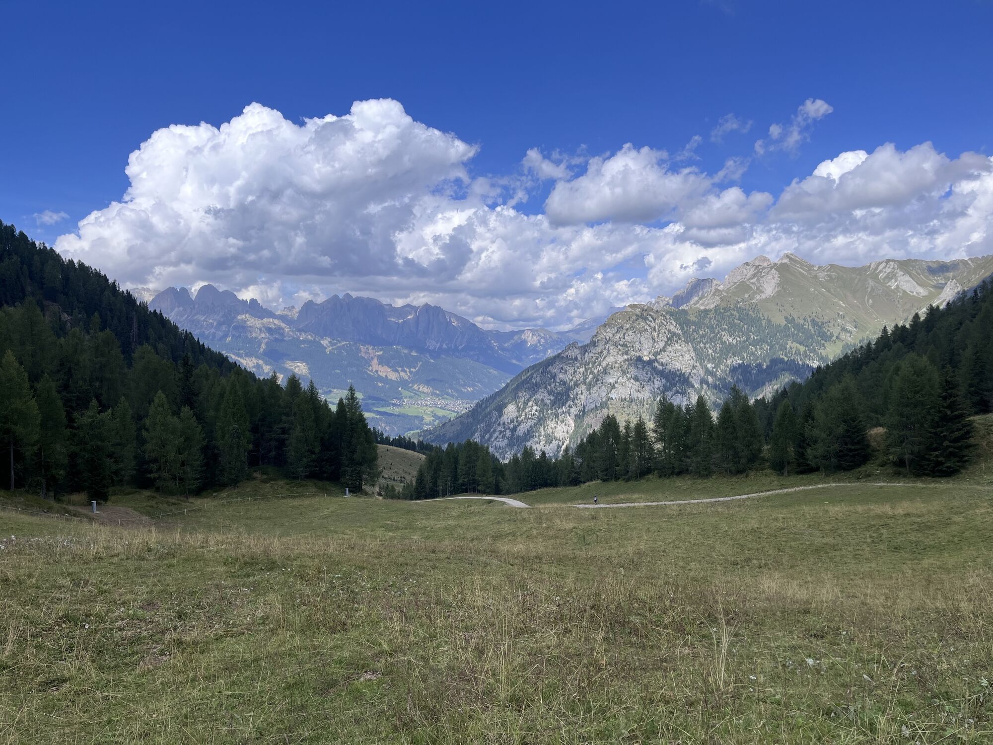
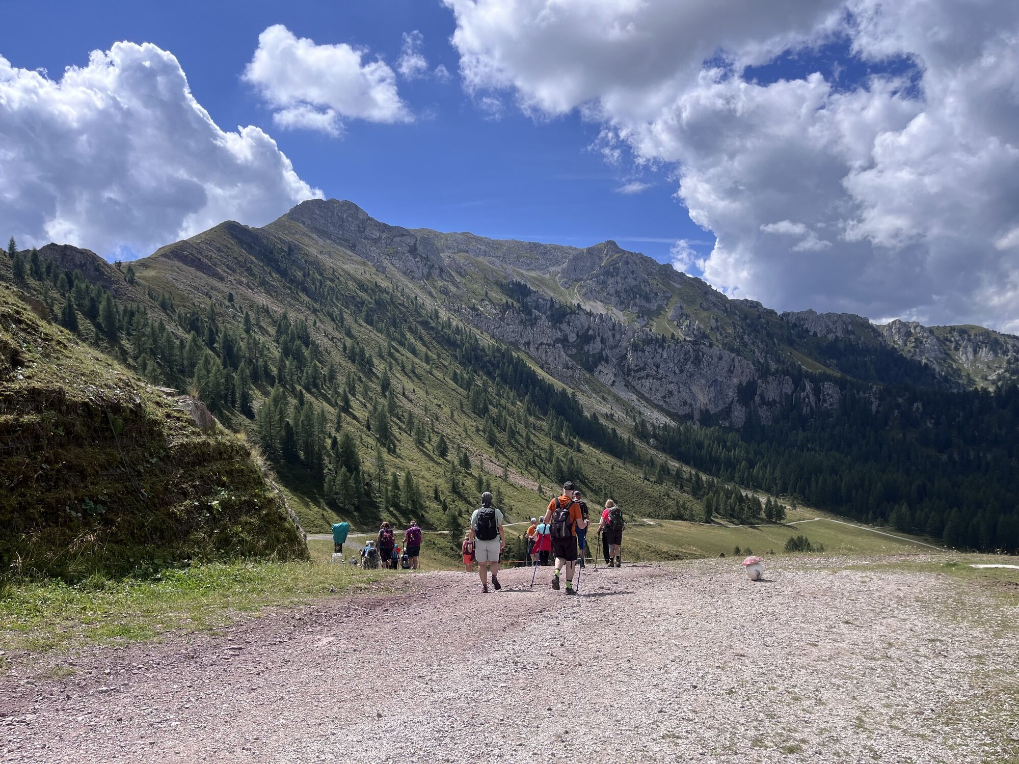
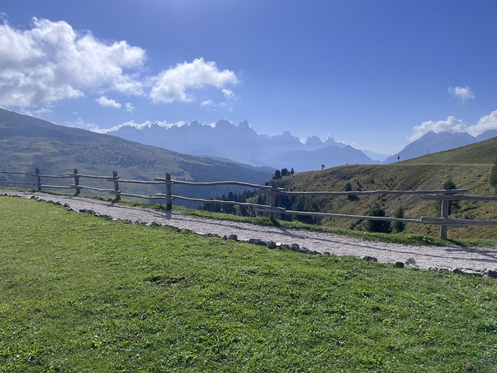
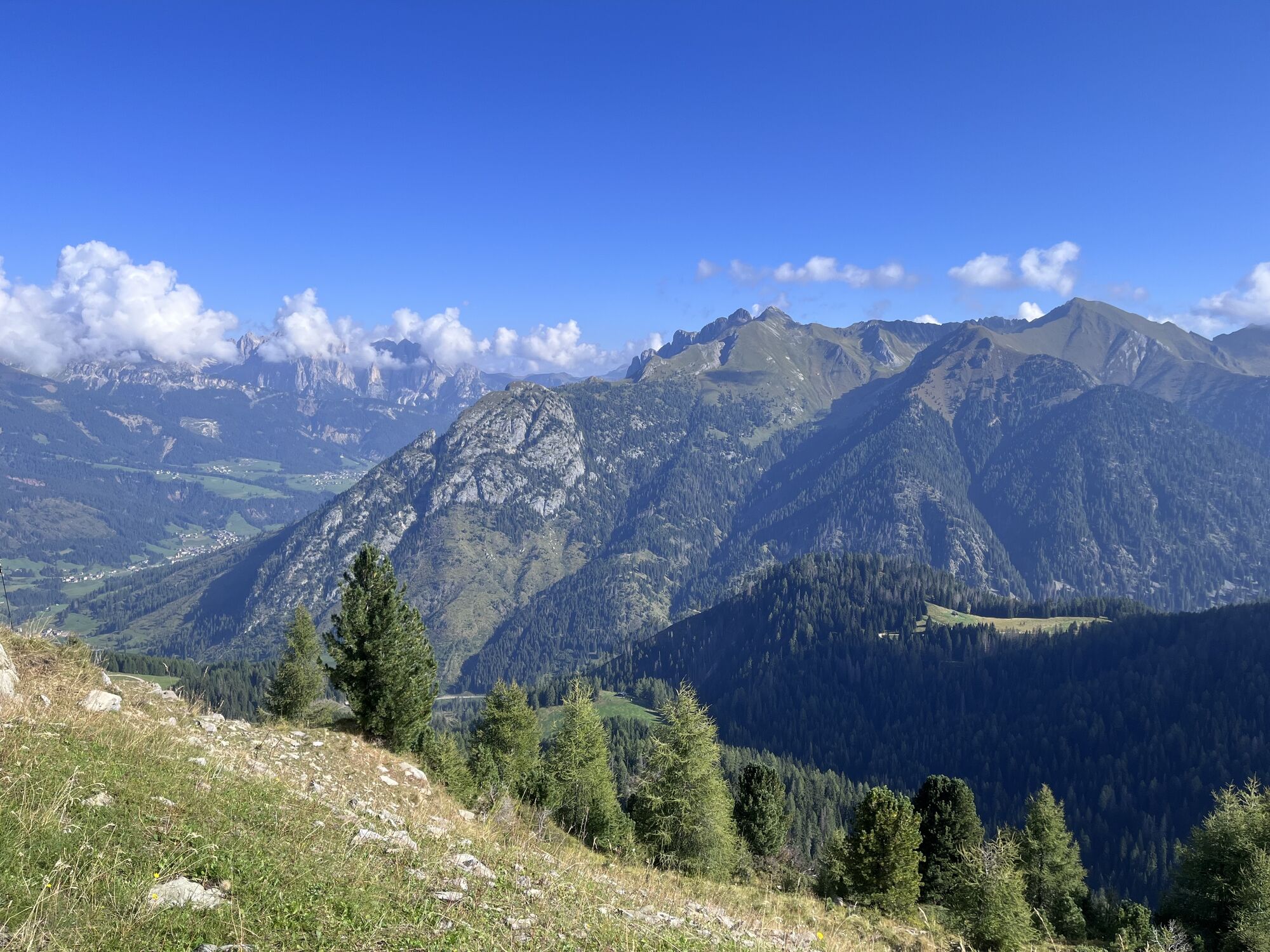
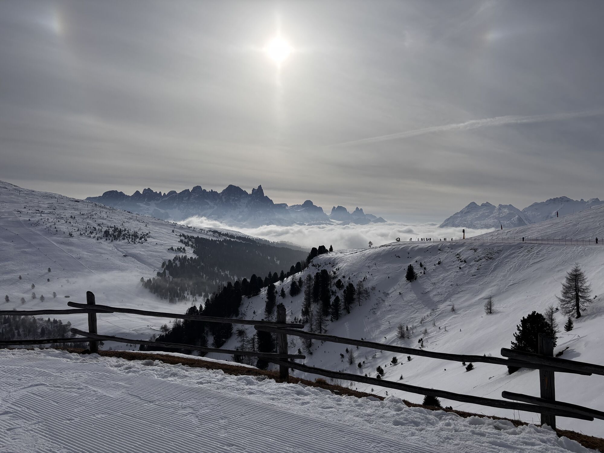
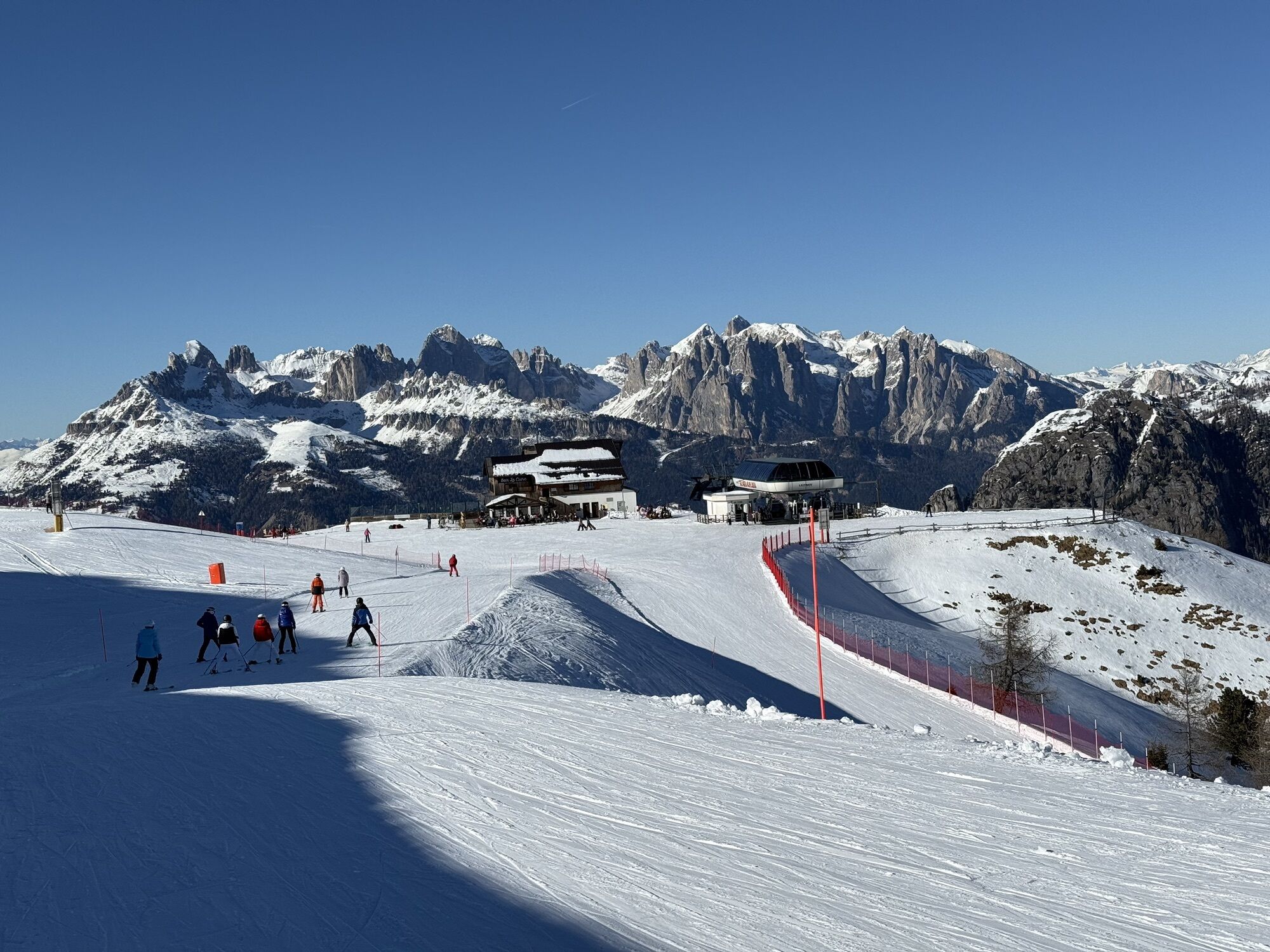
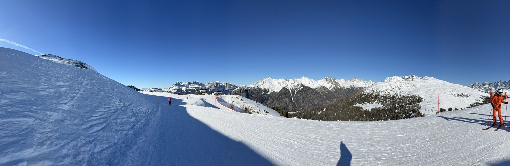
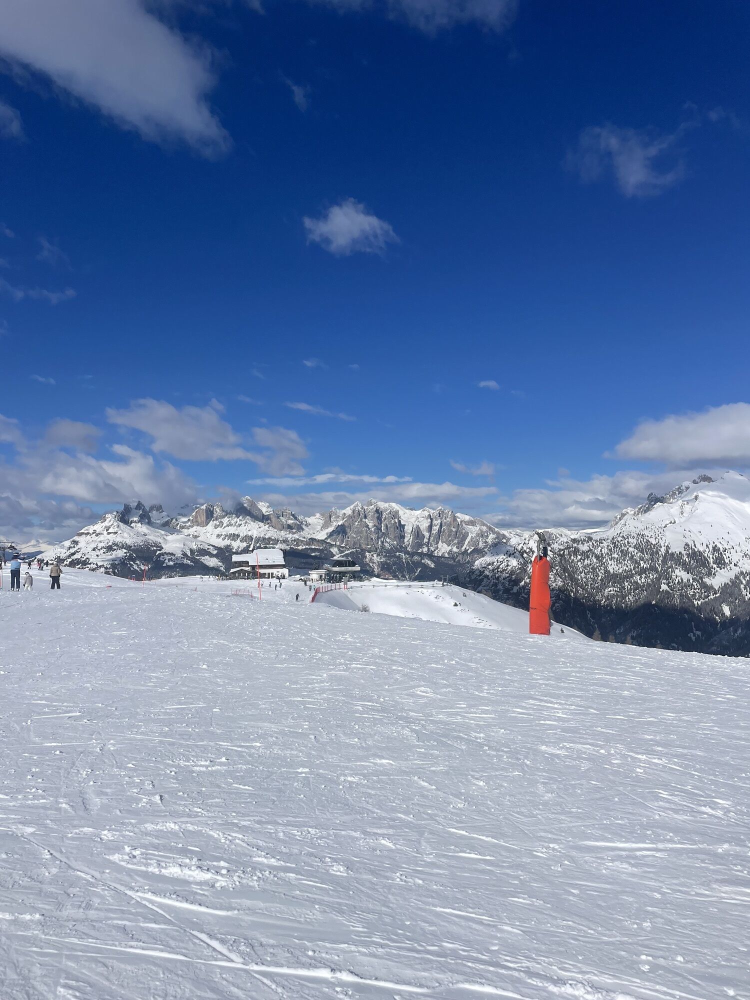
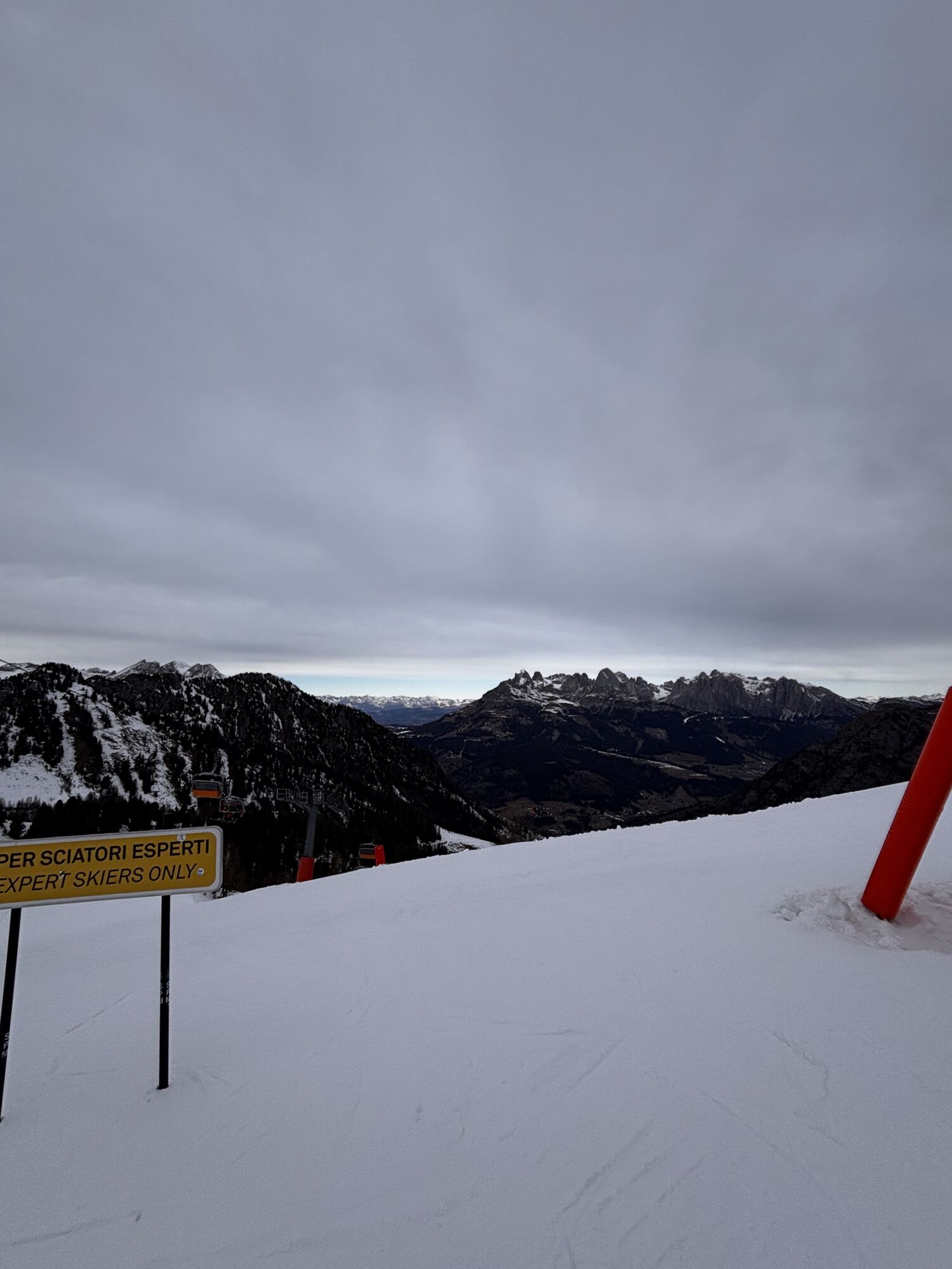
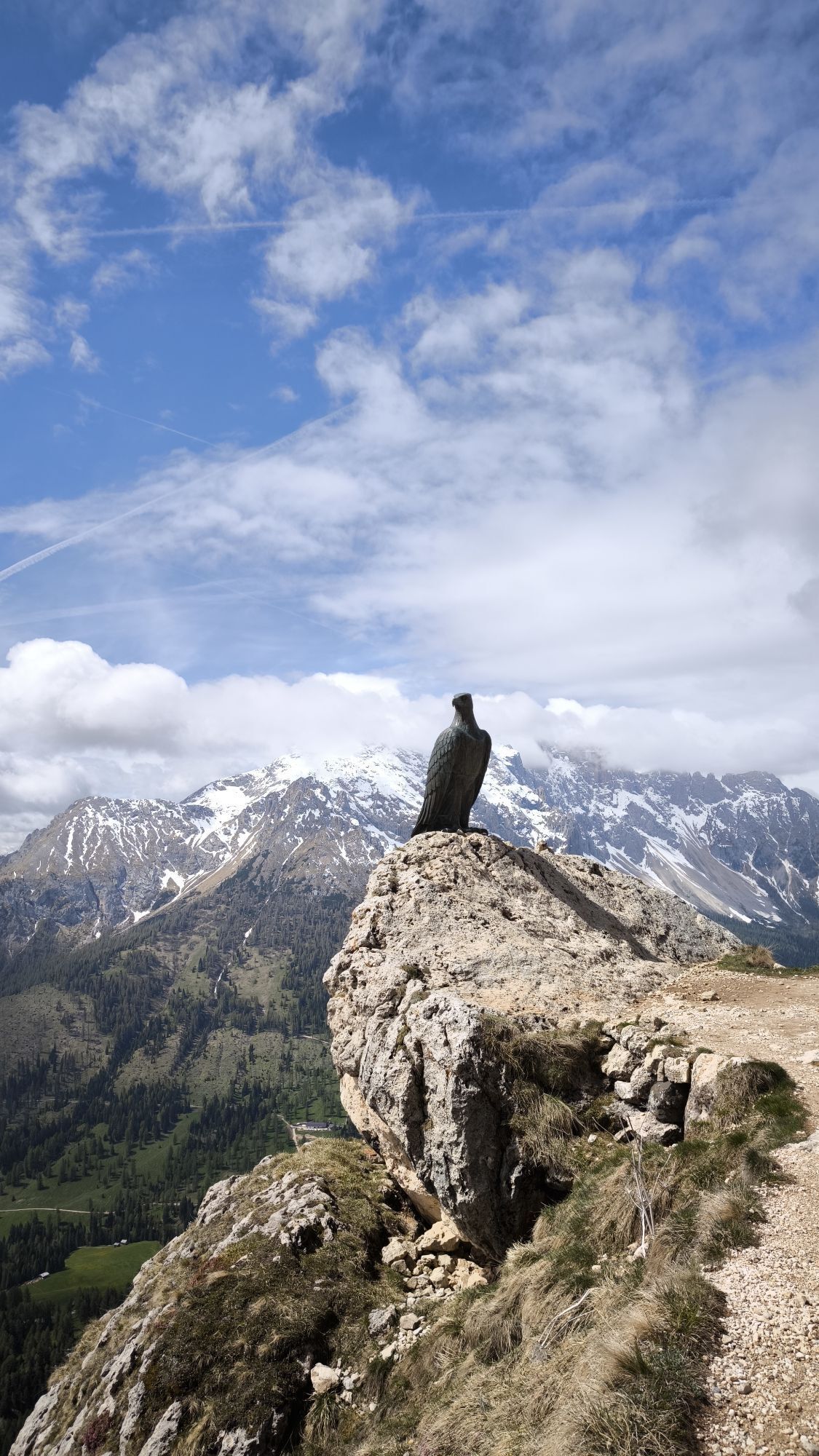

From the center of Moena (Piaz de Sotegrava) ascend Strada de Longiarif. Leave the municipal road and continue on dirt ground until you reconnect with the state road of Passo San Pellegrino, at the overpass...
From the center of Moena (Piaz de Sotegrava) ascend Strada de Longiarif. Leave the municipal road and continue on dirt ground until you reconnect with the state road of Passo San Pellegrino, at the overpass of the Lusia return slope. Cross and immediately turn right onto the well-maintained forest road that climbs with a steady slope to Rifugio La Rezila. After about 2 km, at the fork, turn right to reach the intermediate station of the cable car and Chalet Valbona. Now the route climbs steeply with very significant elevation gains. Reach the locality of Le Cune at 2,000 m. A short flat section precedes the descent along the ski slope towards Passo Lusia and the homonymous refuge, with sections reaching nearly 32%. Continue descending on the forest road until you approach Rifugio La Rezila. At the first huts, slow down to take trail no. 625 that splits right. With comfortable switchbacks, climb the opposite side of the valley to overlook the meadows of Colvere. Continue on an easy path for a long stretch. Ignore forks and stay on the forest road until you cross the road of "Le Tenebre" coming from Ronchi. Follow it south, skirting the left side of the stream. Long flat or slightly downhill sections are interspersed with three rather steep ramps. At the bridge, cross the state road to take, on the opposite side of the stream, the road that leads to the departure station of the Lusia cable car. Continue on the paved agricultural road connecting Ronchi to the village of Someda. Cross the hamlet and return on the municipal road to the town center.

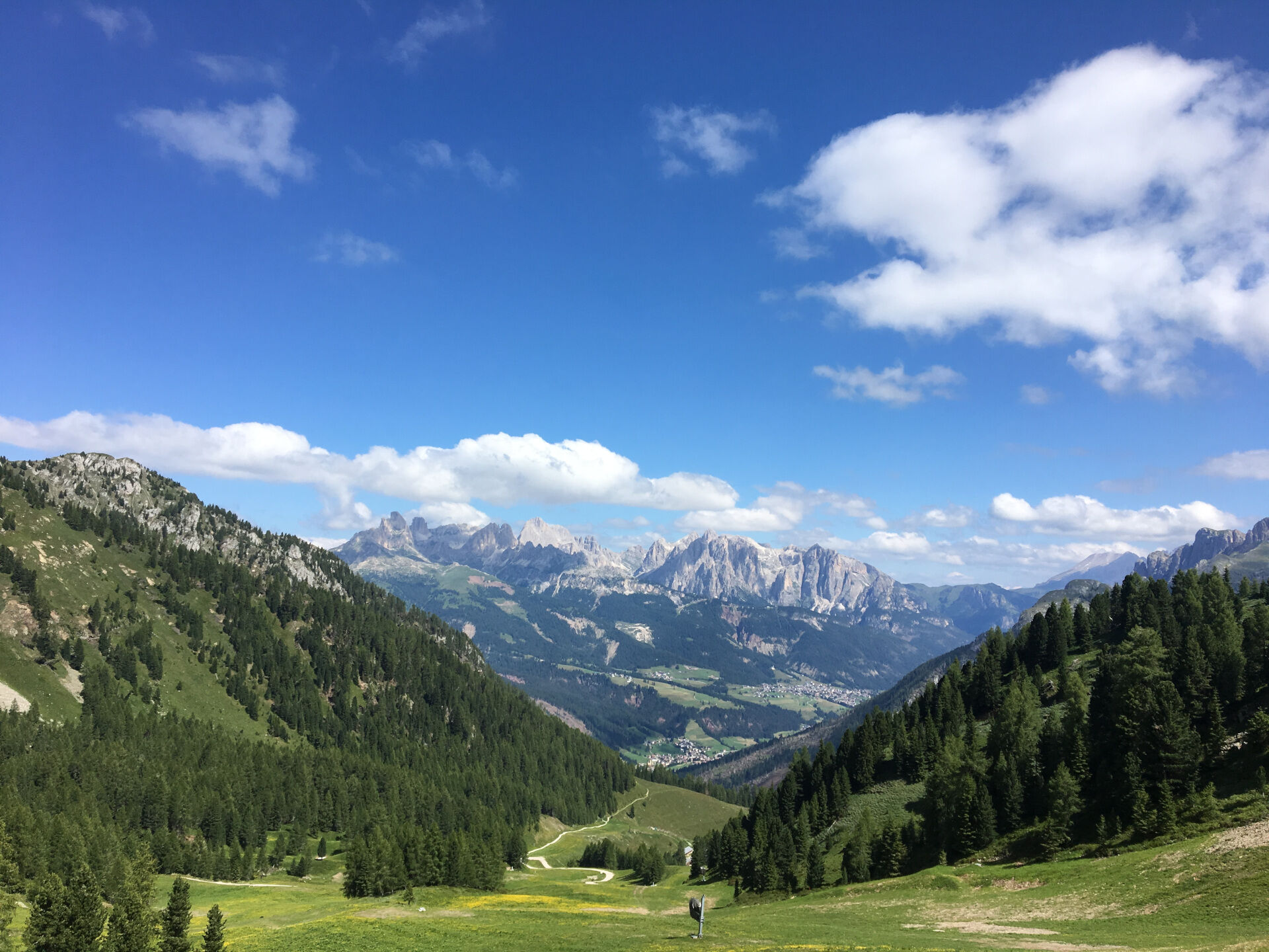
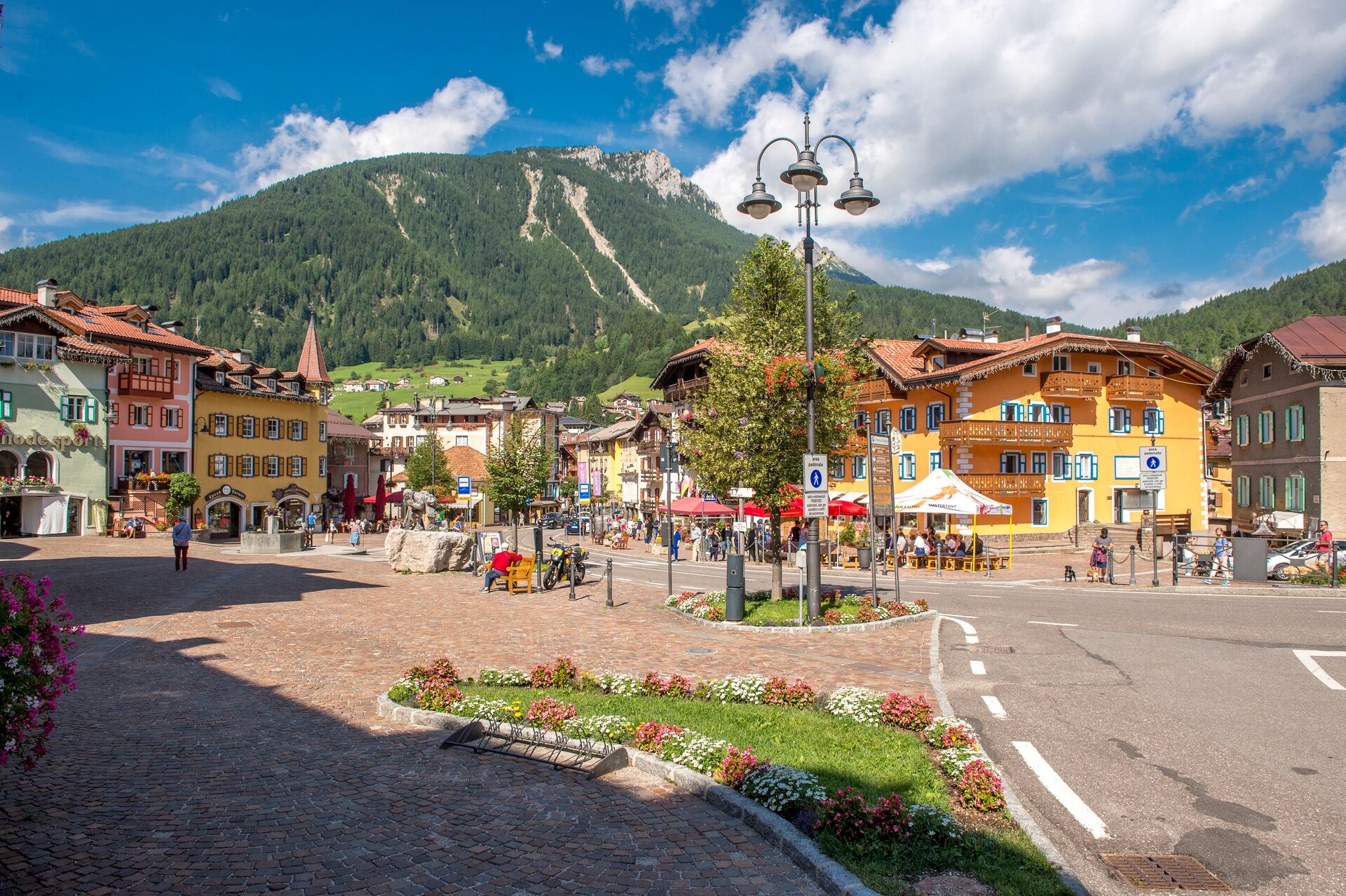
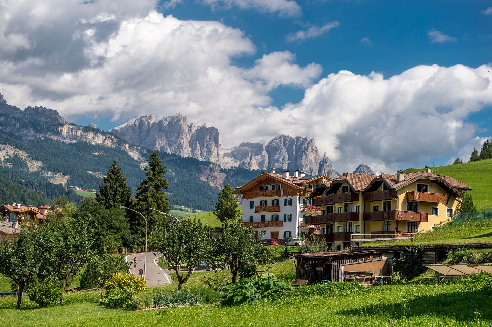
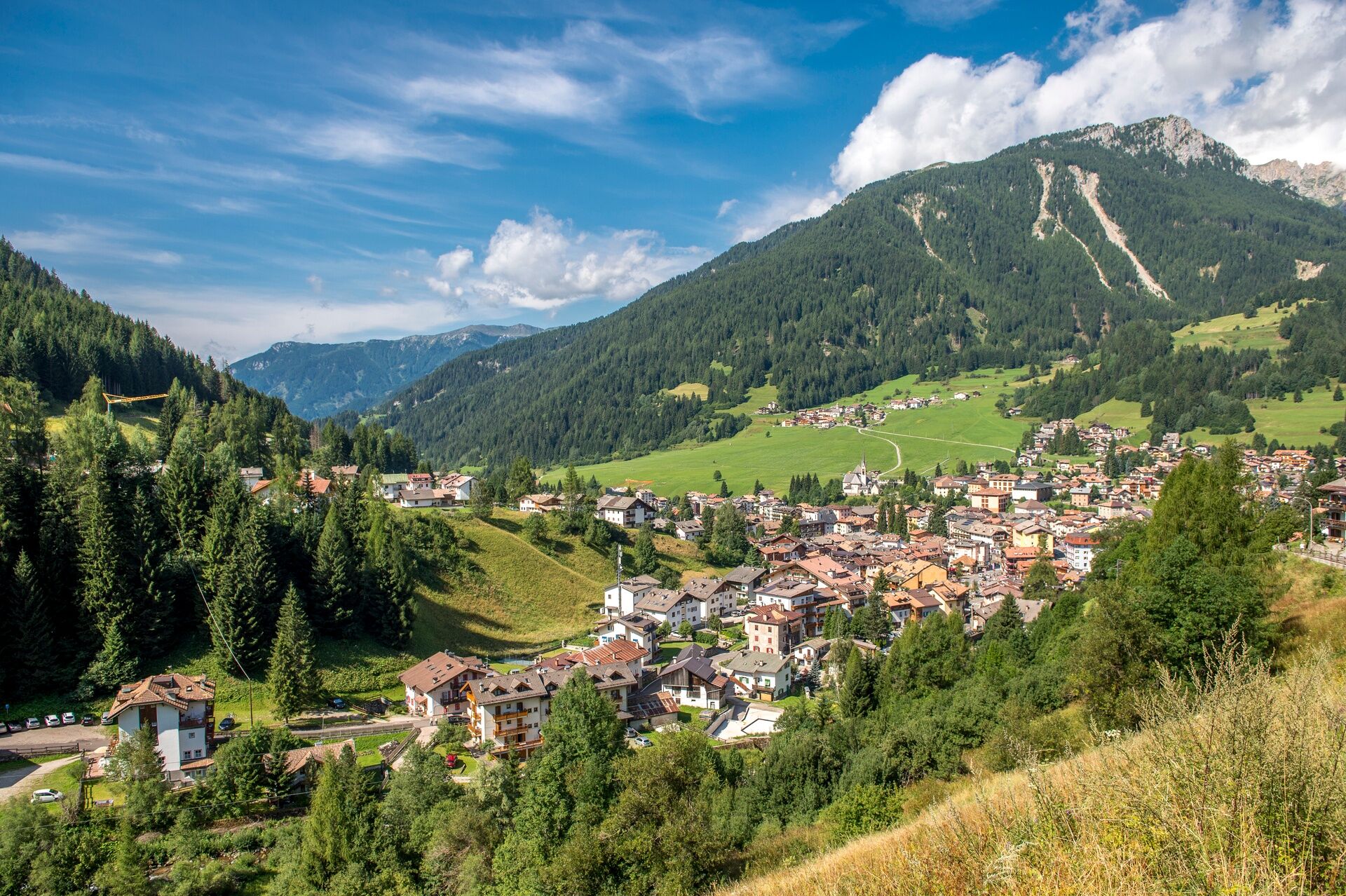
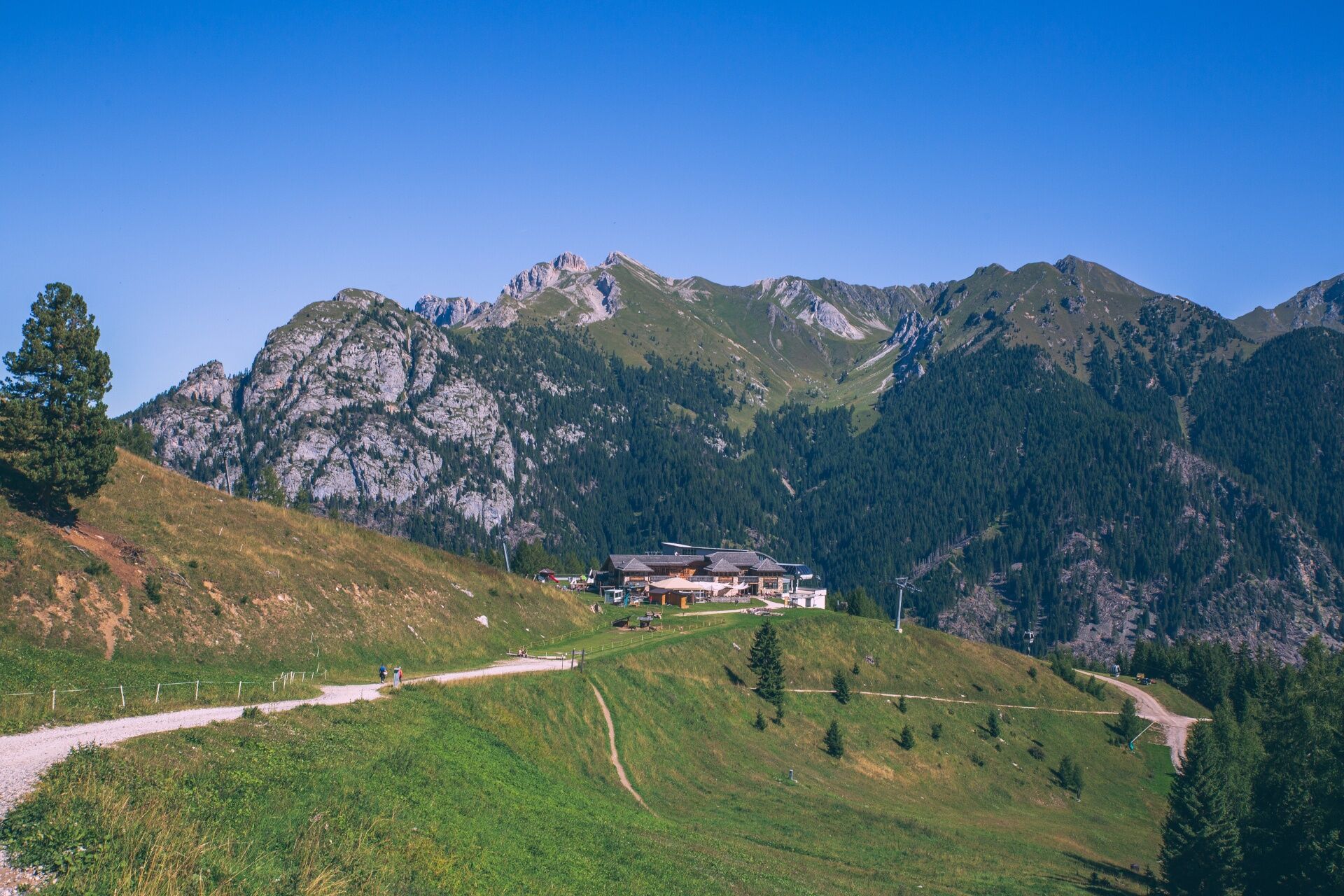

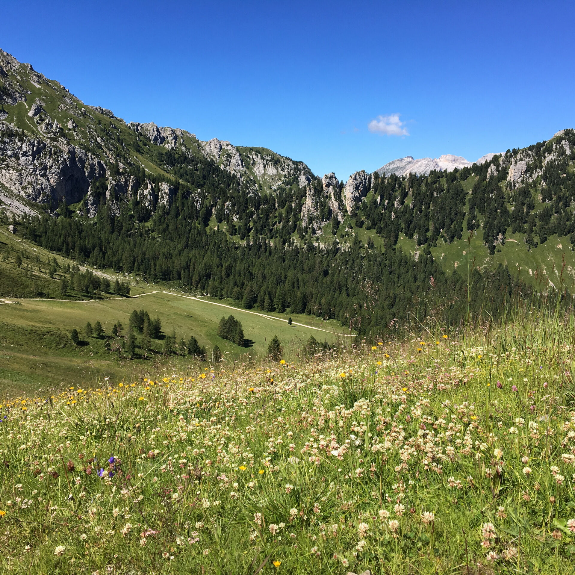
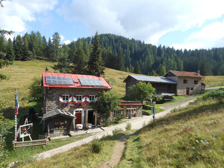
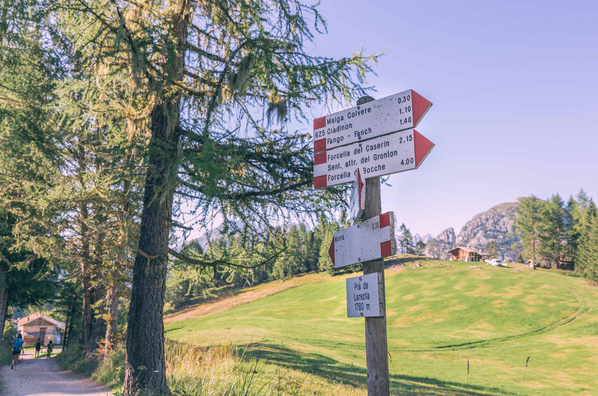
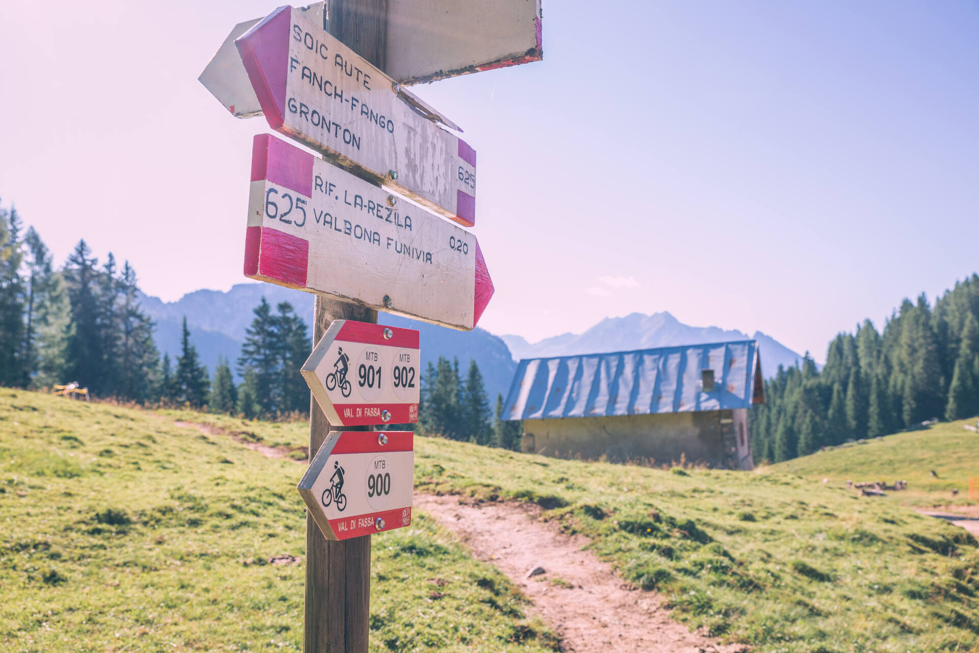
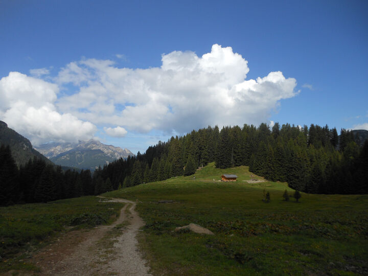
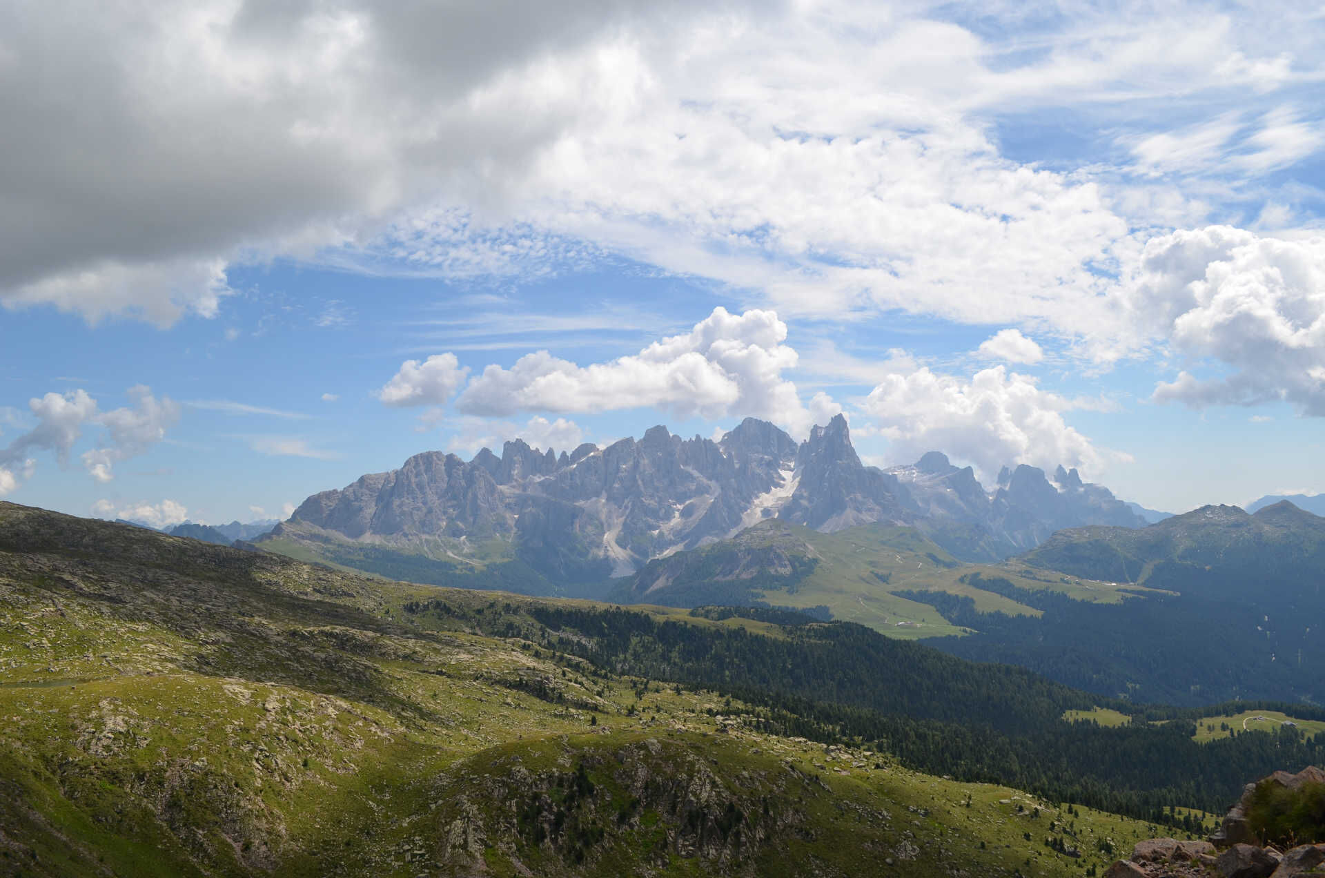
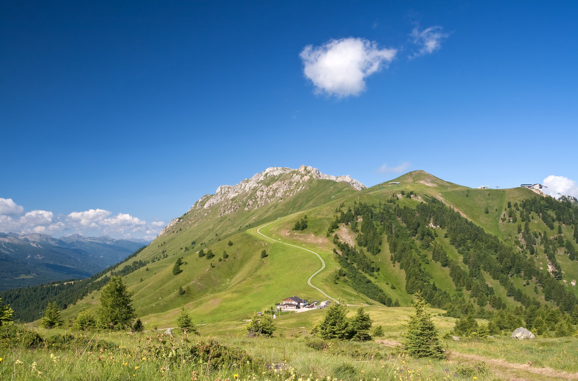
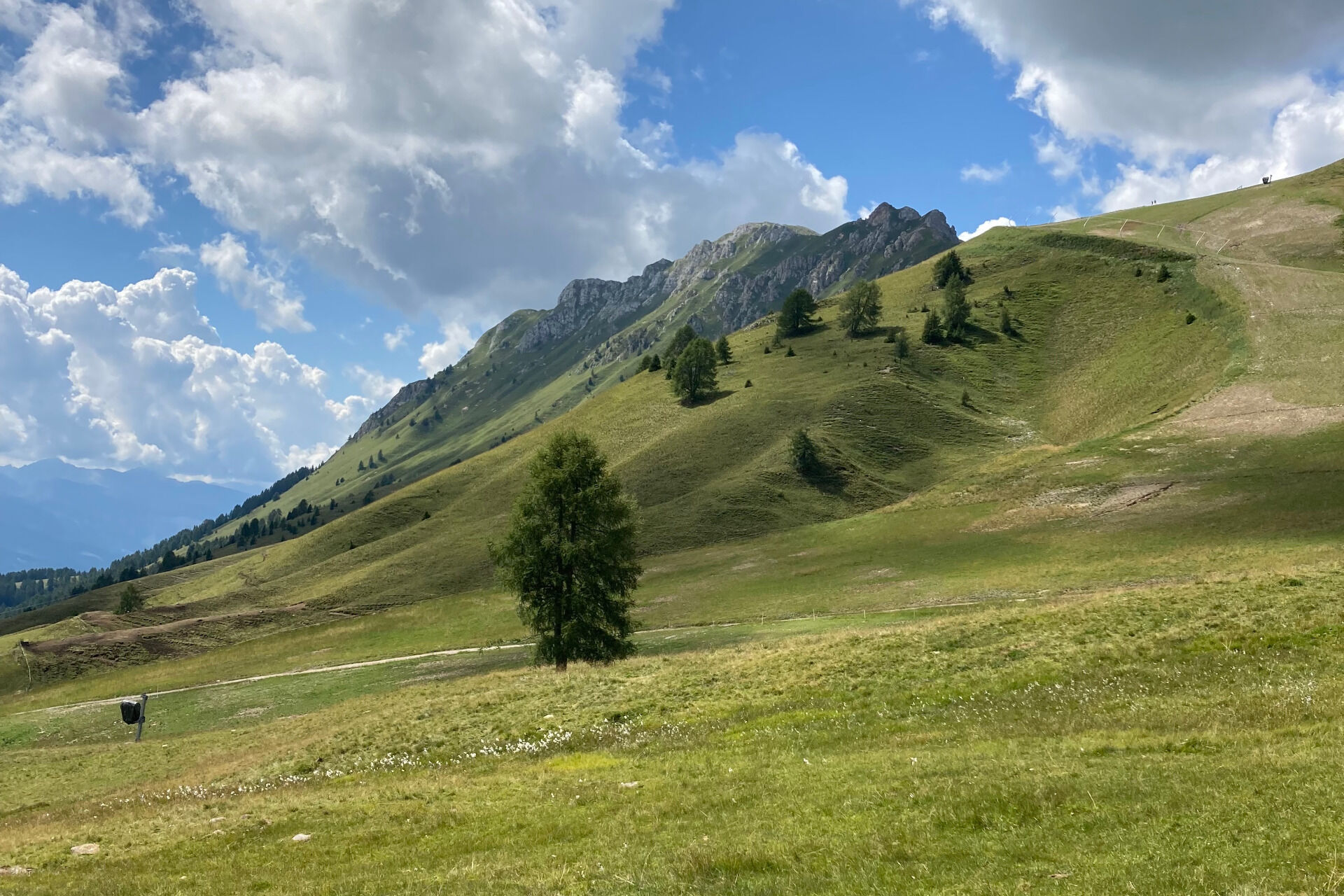
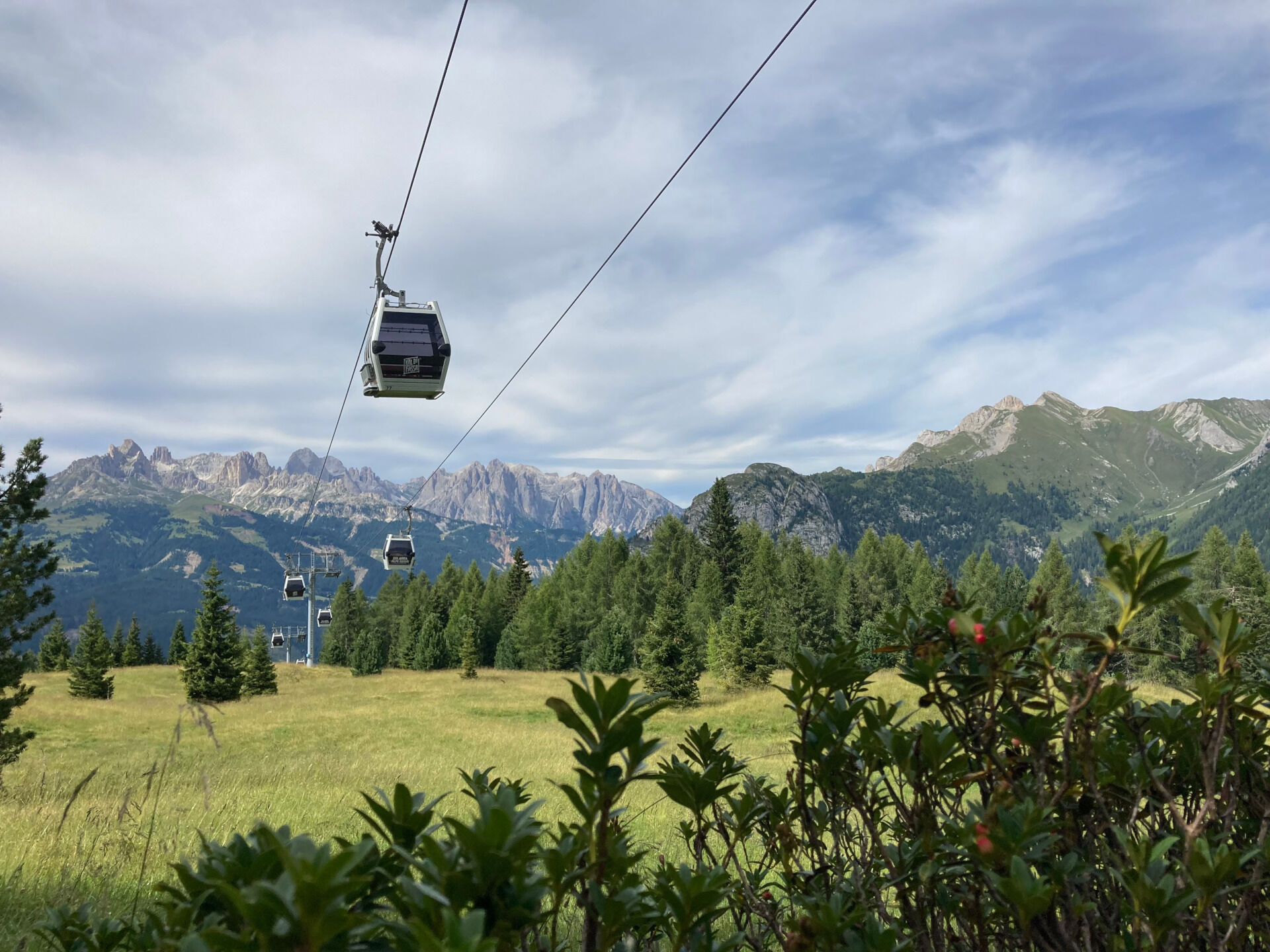
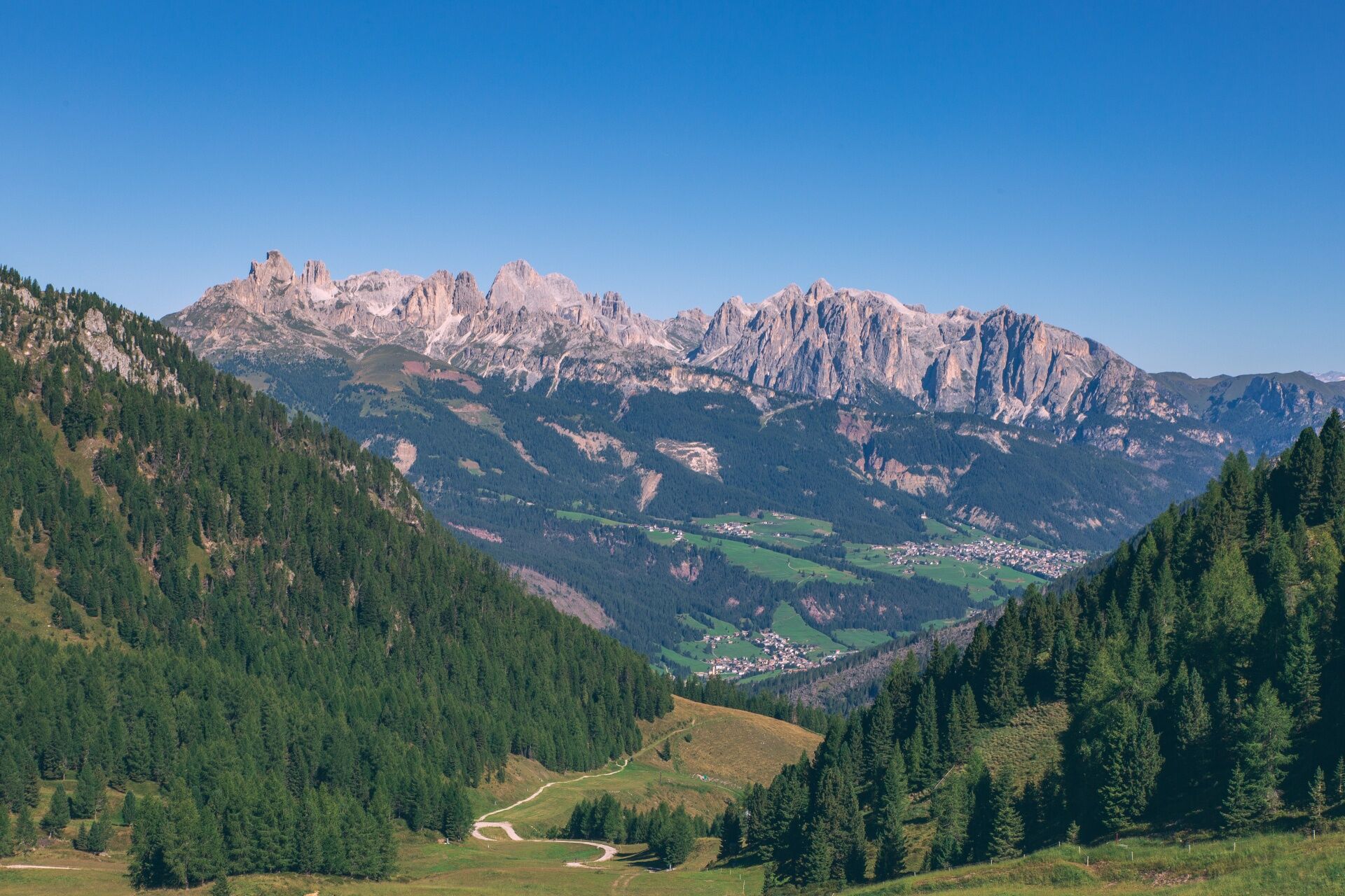

From the center of Moena (Piaz de Sotegrava) ascend Strada de Longiarif. Leave the municipal road and continue on a dirt track until you reconnect with the state road of Passo San Pellegrino, at the overpass of the Lusia return slope (MTB route no. 2162).
Provide suitable clothing and equipment appropriate to the effort and length of the excursion and carry in your backpack what is needed for possible emergency situations, along with a minimal first aid kit.
Ideal route for: mountain bike, e-MTB.
Plan the route based on your abilities and the weather.
Go slow, be cautious, enjoy the panorama and the silence.
Adapt your riding style to the characteristics and condition of the terrain.
Rely on bike guides.
Wear appropriate clothing and equipment.
Respect the environment around you and those who live there by carrying your waste down the valley.
Respect the trail and do not ride on prohibited paths.
Stop if someone needs help.
Be cautious along the cycling and pedestrian paths and mixed trails also frequented by hikers.
If you encounter pedestrians, warn them of your arrival and reduce your speed.
Main valley access points coming from the A22 motorway, Modena-Brenner:
exit Ora/Egna, S.S. 48 delle Dolomiti - Passo San Lugano - Val di Fiemme - Val di Fassa (distance 45 km). From the Moena ring road (industrial area) towards Canazei exit Bolzano North, S.S. 241 Great Dolomite Road - Passo Carezza - Vigo di Fassa (distance 40 km). From Vigo north towards Canazei, south towards Soraga di Fassa and Moena
Other accesses to Val di Fassa:
from the A27 motorway (Venice), exit Belluno/Ponte nelle Alpi, S.S. 203 to Agordo and S.P. 346 of Passo San Pellegrino - Moena (Val di Fassa). From the Moena ring road towards Canazei from the A27 motorway (Venice), exit Belluno/Ponte nelle Alpi, S.S. 203 to Agordo/Alleghe/Rocca Pietore. S.P. 641 of Passo Fedaia - Canazei coming from Arabba, S.S. 48 of Passo Pordoi - Canazei from Val Gardena, S.S. 242 Passo Sella - CanazeiTrentino Trasporti public transport lines - Val di Fassa:
line no. 101 Canazei - Cavalese - Trento line no. 104 Cavalese - Ora - Trento line no. 123 Moena - Passo San Pellegrino - FalcadeSAD public transport lines - Val di Fassa:
line no. 180 Vigo di Fassa - Passo Carezza - Bolzano line no. 471 Dolomite Passes (Passo Sella, Passo Gardena, Passo Campolongo, Passo Pordoi, Passo Fedaia). Service active only in summerParking in Moena: Centro Navalge (paid), sports field (village entrance), church area.
S2
Val di Fassa Tourism Board
Strèda Roma, 36
38032 Canazei (TN)
Tel. 0462 609500
info@fassa.com
www.fassa.com
Due to the elevation gain, the route is aimed at professional bikers. It is possible to avoid the climb at Le Cune by taking the cable car (two sections) from Ronchi.
Bosch Ebike Power Stations charging points in Moena: Chalet Valbona; Sport Navalge rental.
Webové kamery z prohlídky

Oblíbené prohlídky v okolí
-
4.9
Torre di Pisa mountain hut
středníTuristika 9.09 km -
4.8
Santnerpass Klettersteig
středníVia ferrata 8.29 km -
4.8
Passo Costalunga - Sella del Ciampaz
středníTuristika 8.35 km -
5.0
Ciampedie - Gardeccia - Refuges Vajolet and Preuss - Refuge Re Alberto I - Gardeccia - Ciampedie
heavyTuristika 11.8 km -
4.6
Kölner Hütte - Hirzelsteig - Rotwandhütte - Baita Tre - Karerpass
středníTuristika 9.56 km -
5.0
Ciampedie - Gardeccia - Principe Pass - Antermoia Refuge - Val Duron - Campitello
heavyTuristika 18.7 km -
5.0
Rosengarten: Cigoladepass und Fassaner Höhenweg
středníTuristika 15.6 km -
4.7
Stage 1 Dolomiti Trek King in autumn - Catinaccio
heavyTuristika 15.3 km -
4.5
Cavallazza Peak
středníTuristika 7.82 km -
4.5
San Pellegrino Pass - Fuciade - Val Fredda - Malga Boer - San Pellegrino Pass
středníTuristika 11.1 km
Pěší turistika a stopování


Nenechte si ujít nabídky a inspiraci pro vaši příští dovolenou
Vaše e-mailová adresa byl přidán do poštovního seznamu.





