







Translagorai

Úroveň obtížnosti: T3
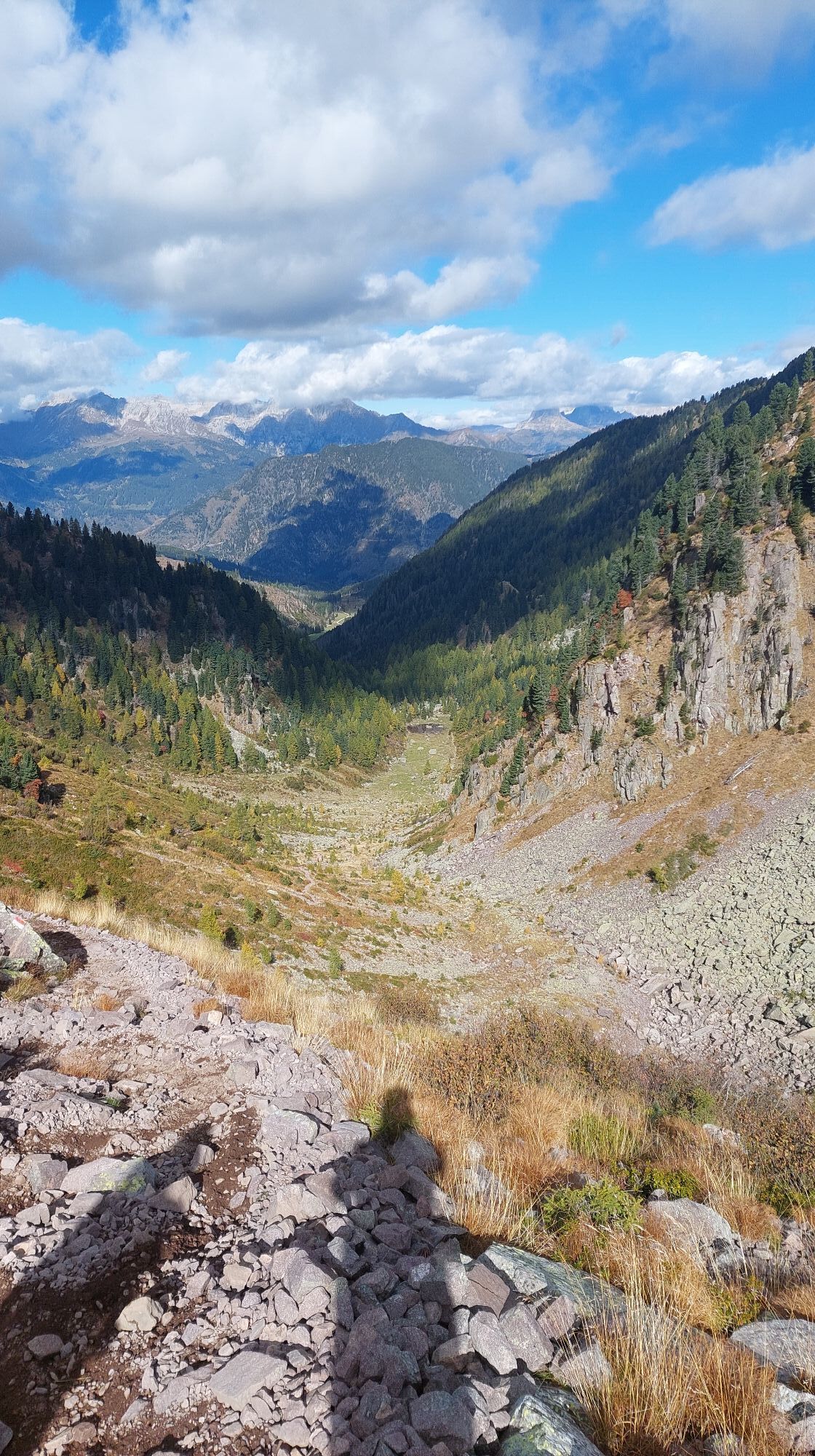
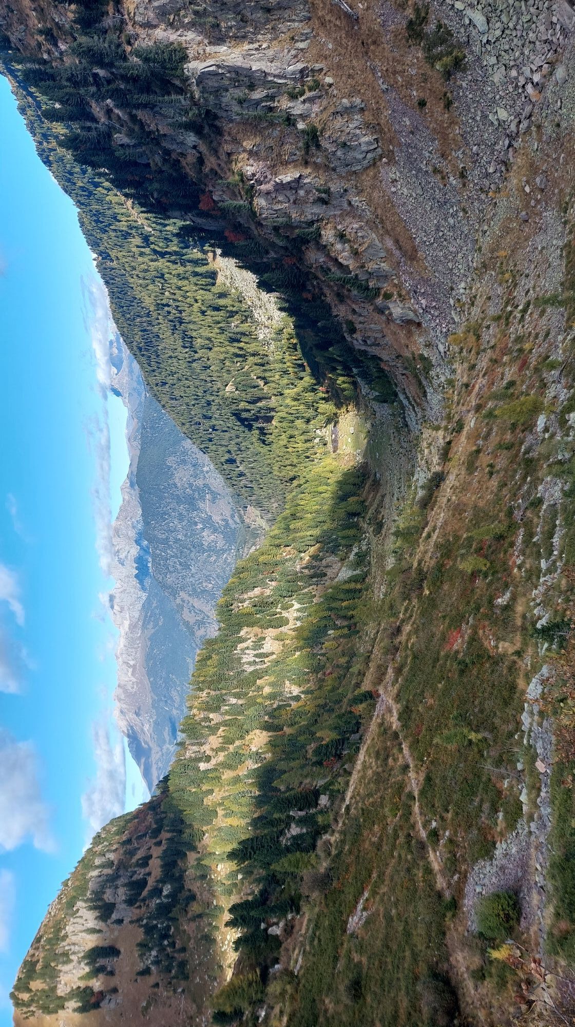
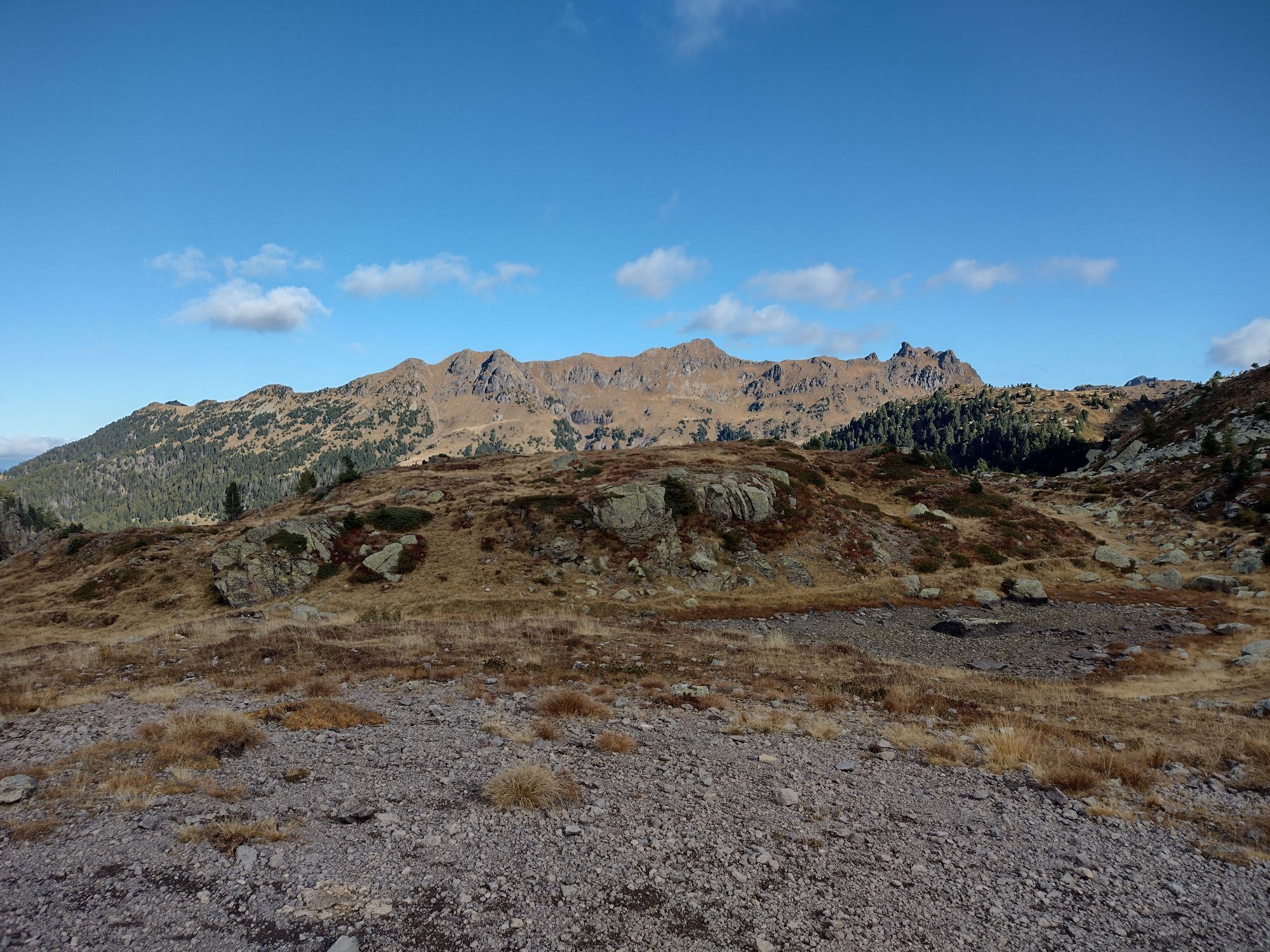
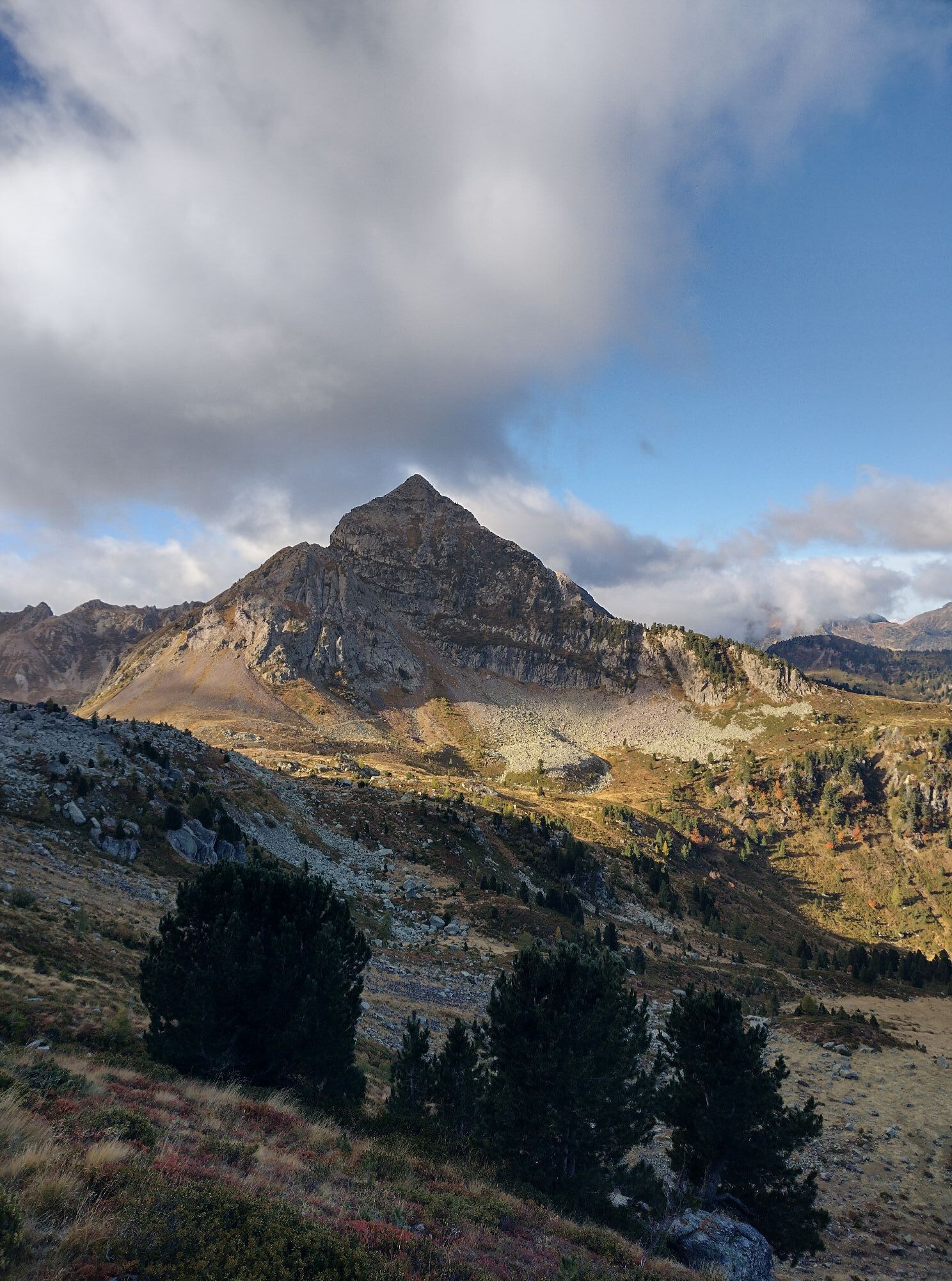
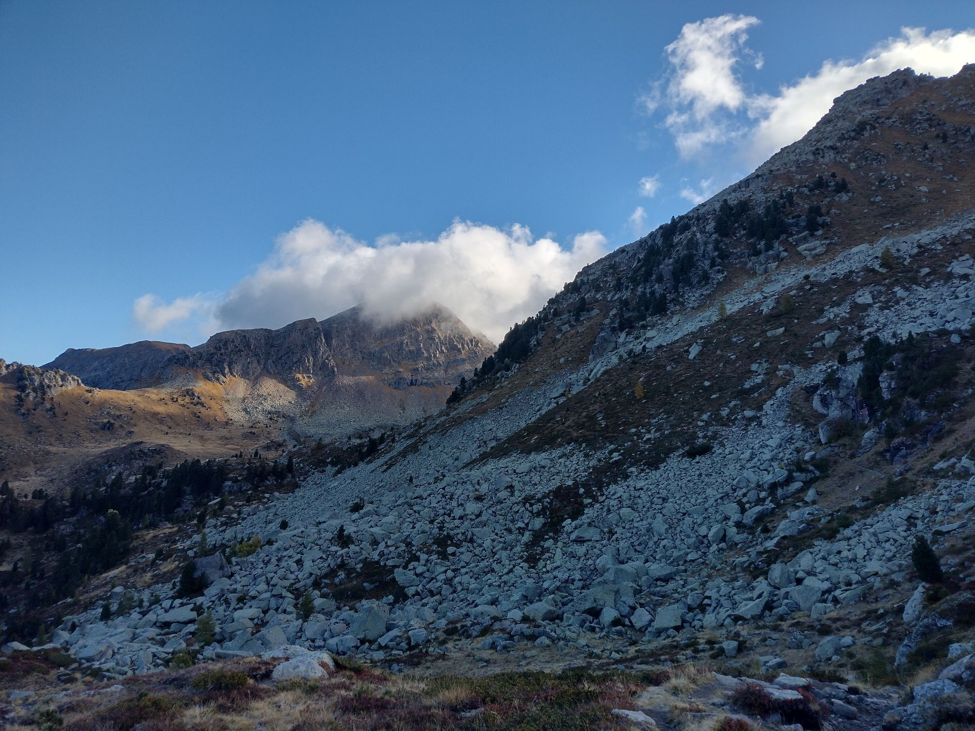
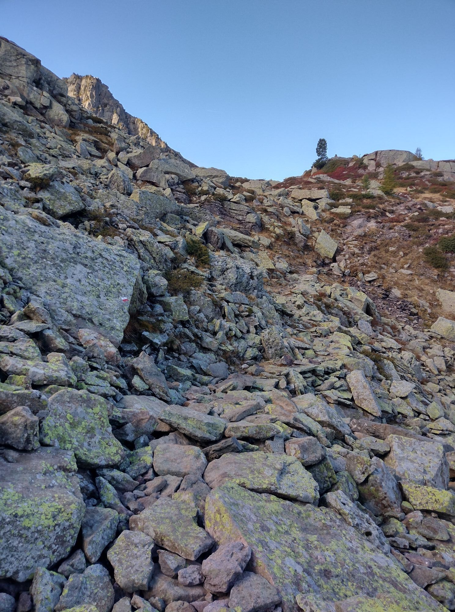
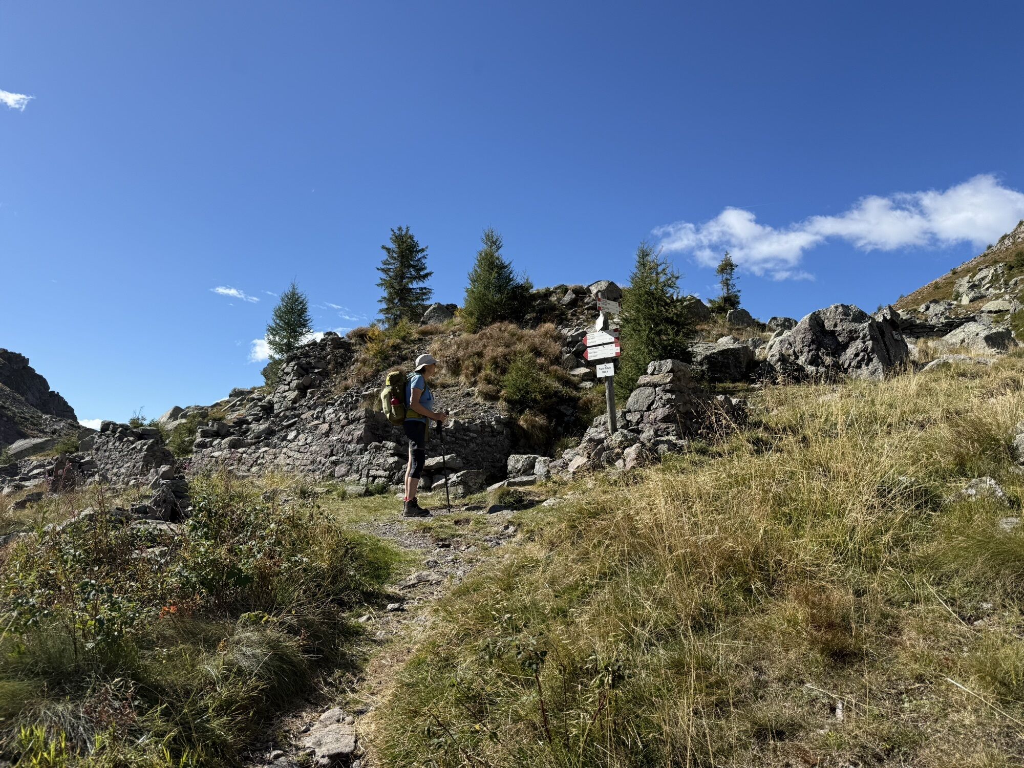
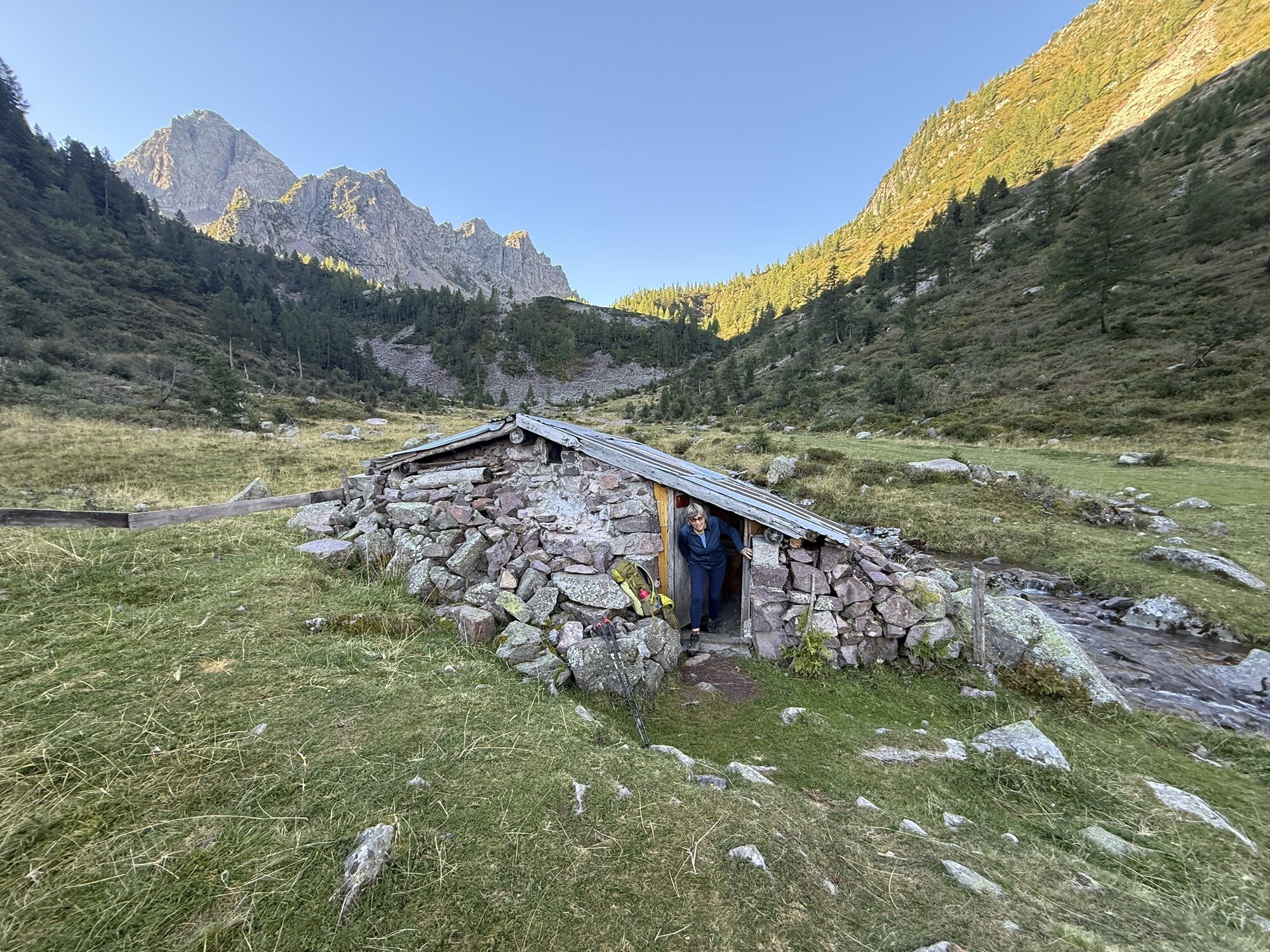
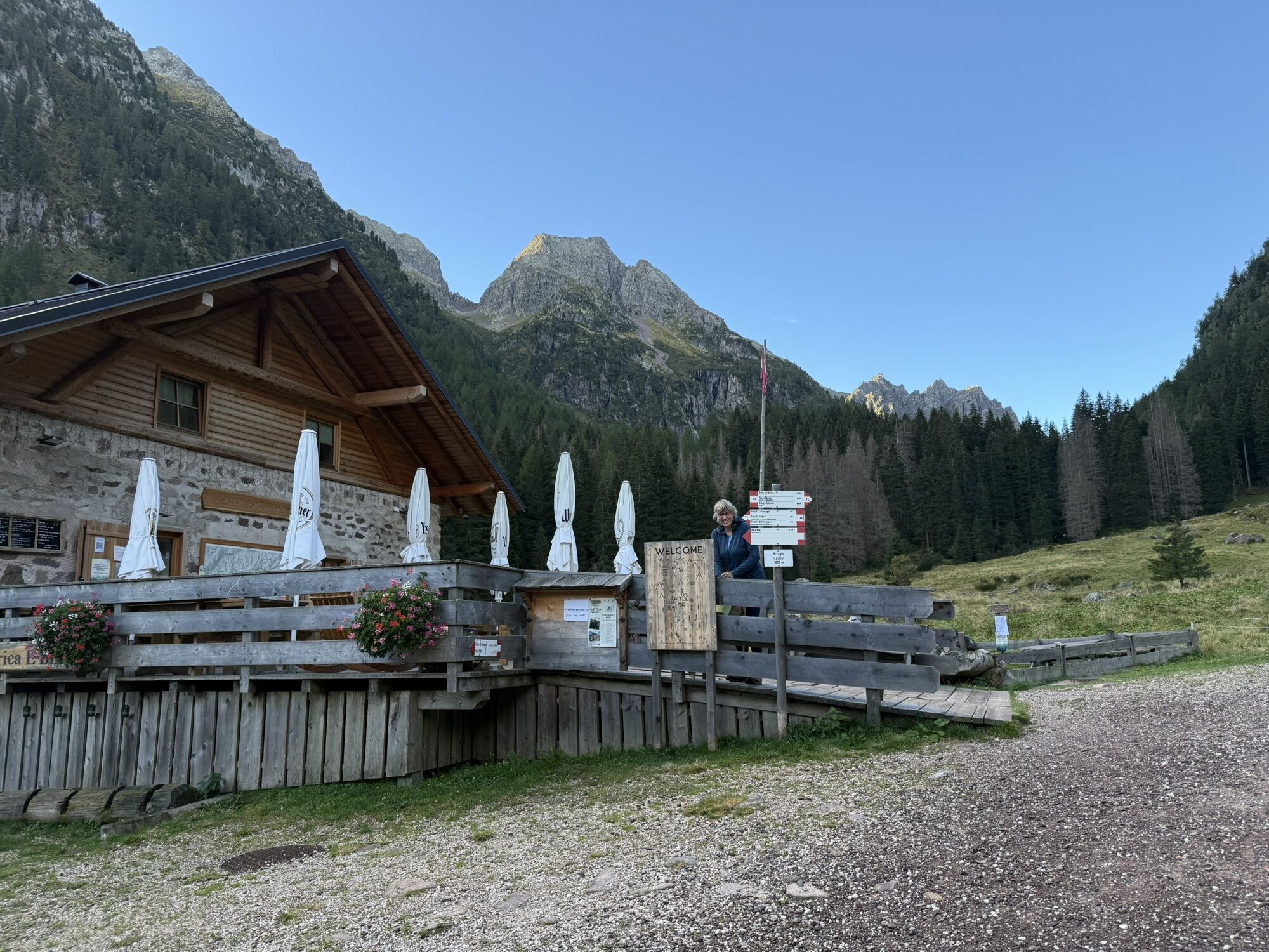

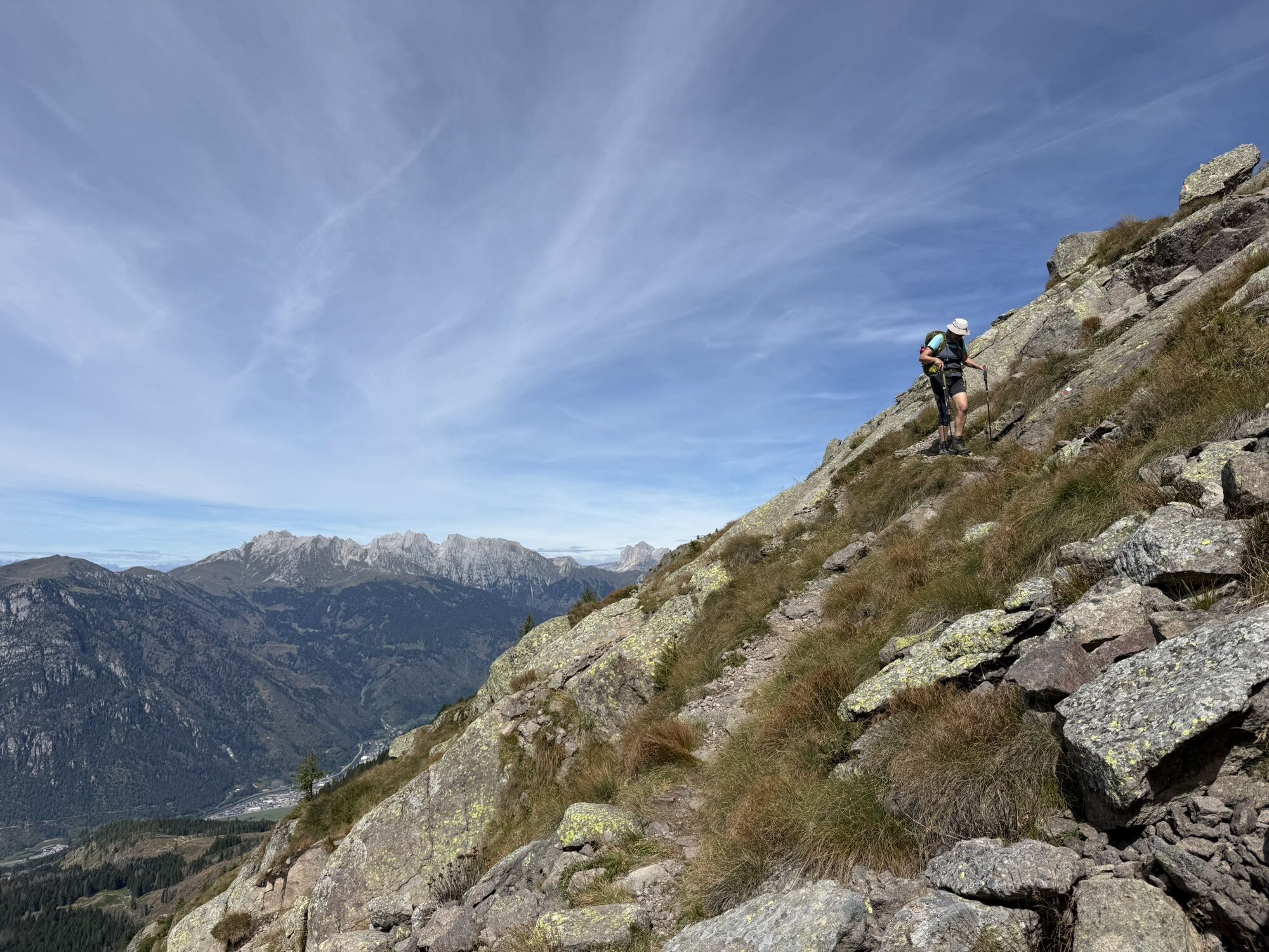
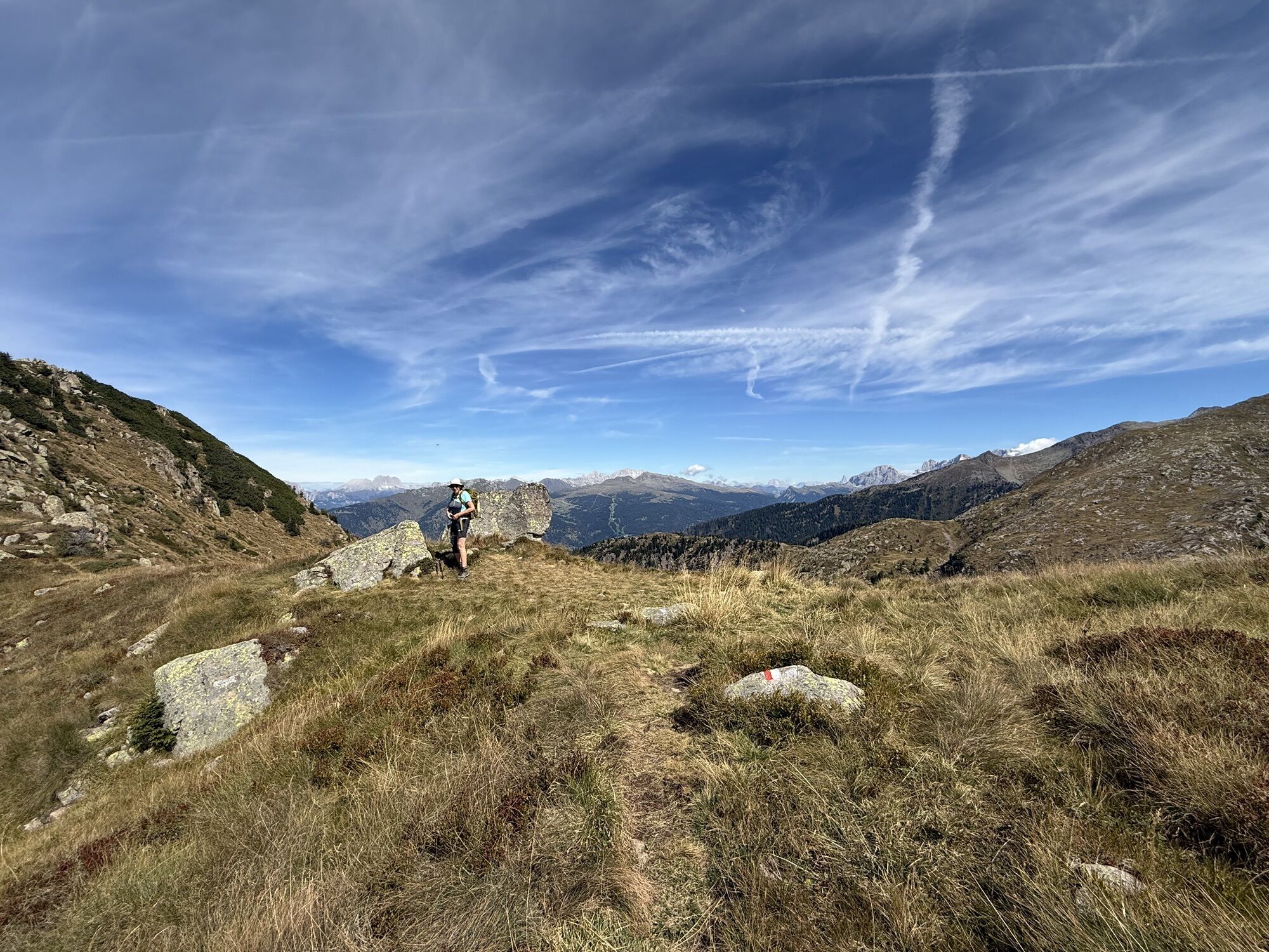
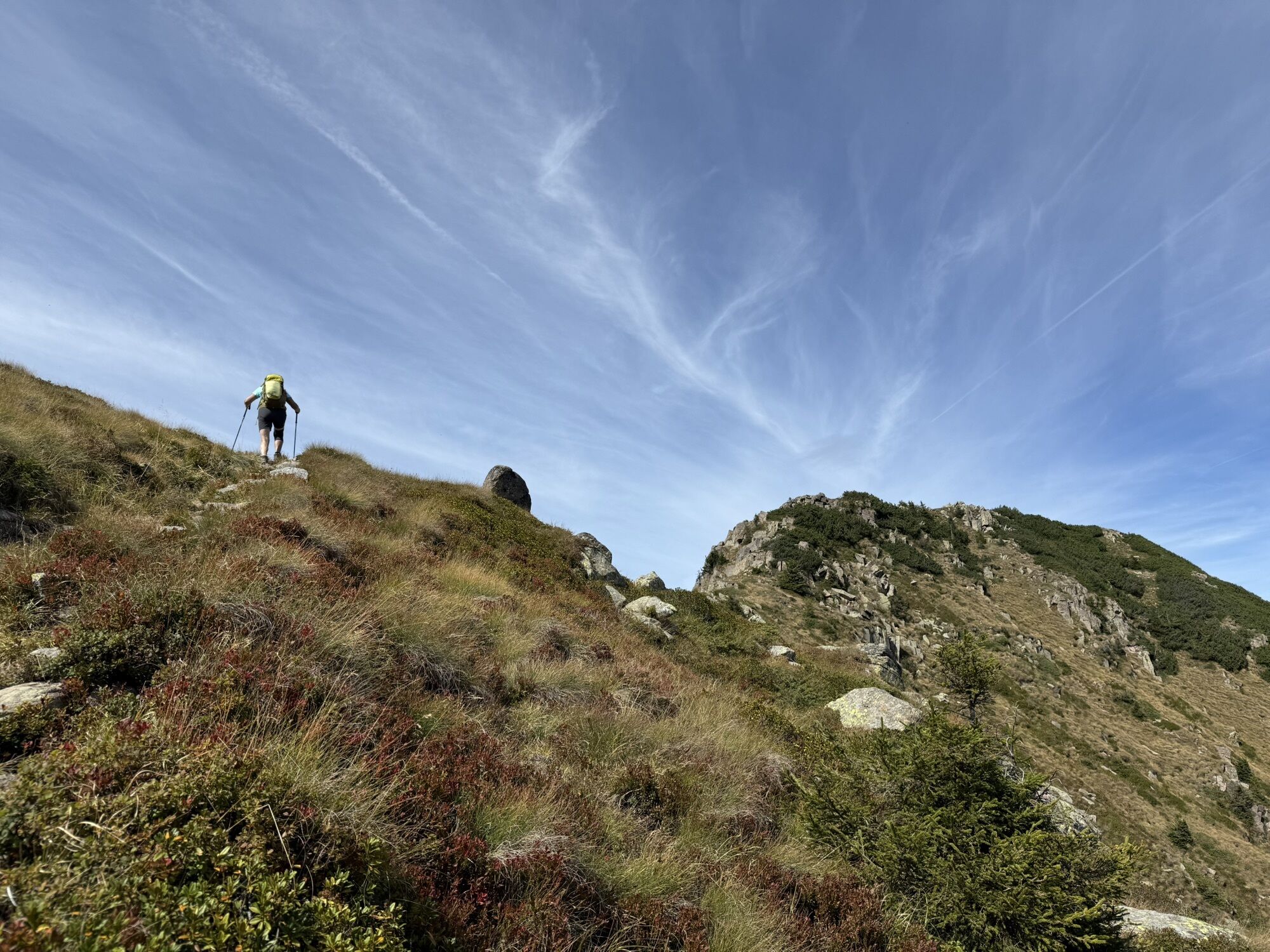
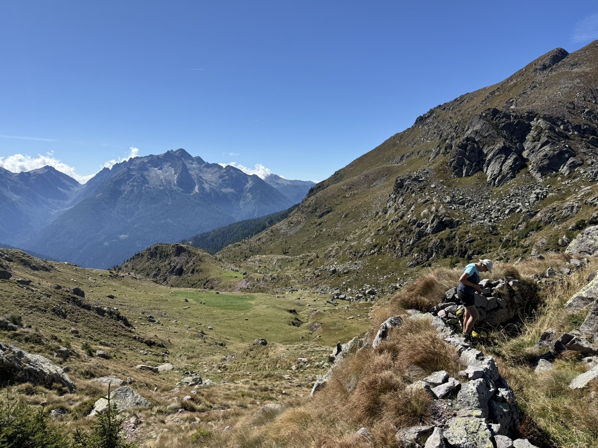
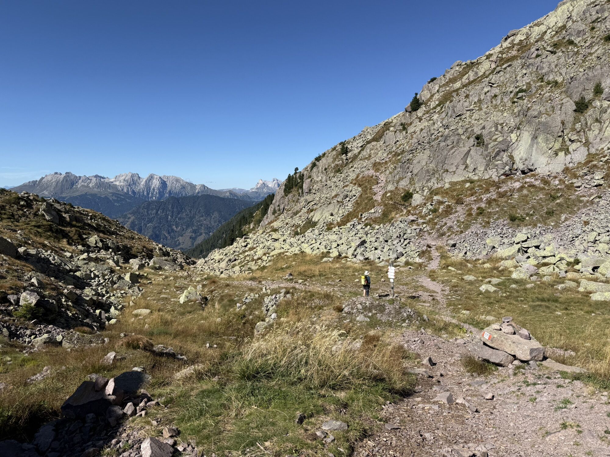
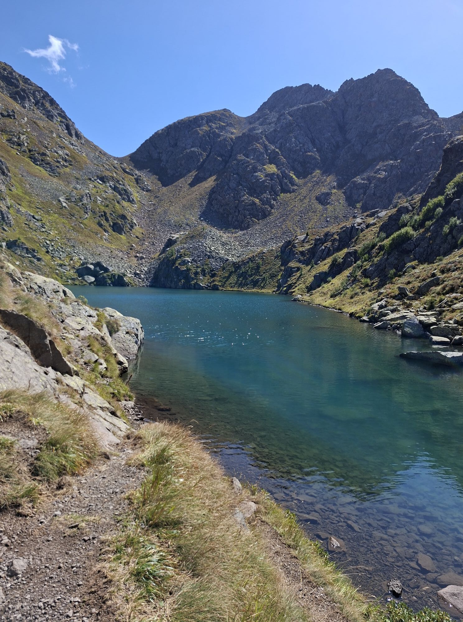
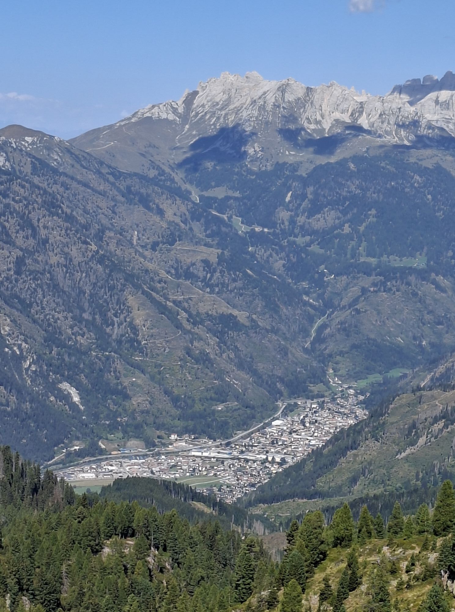
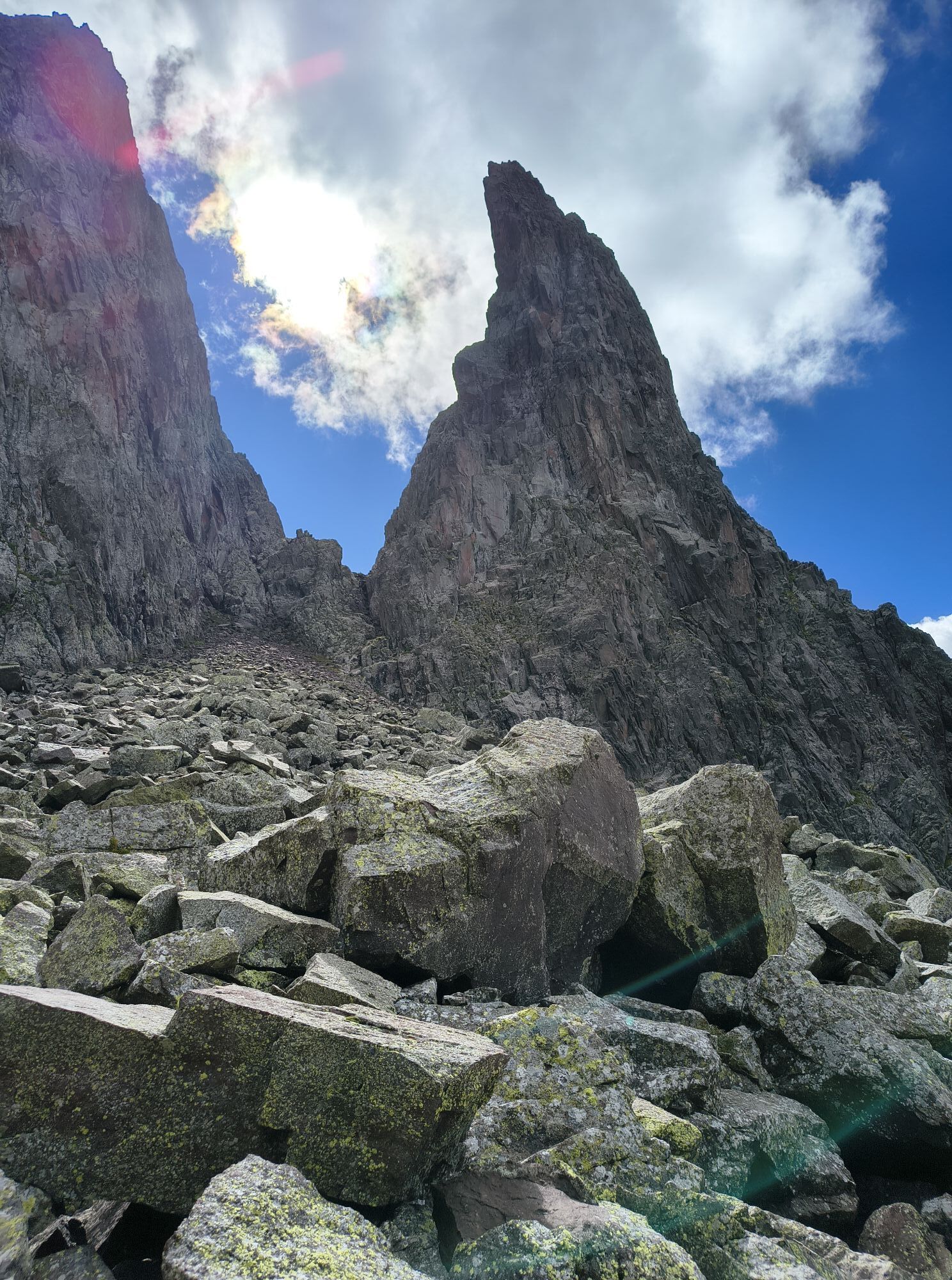
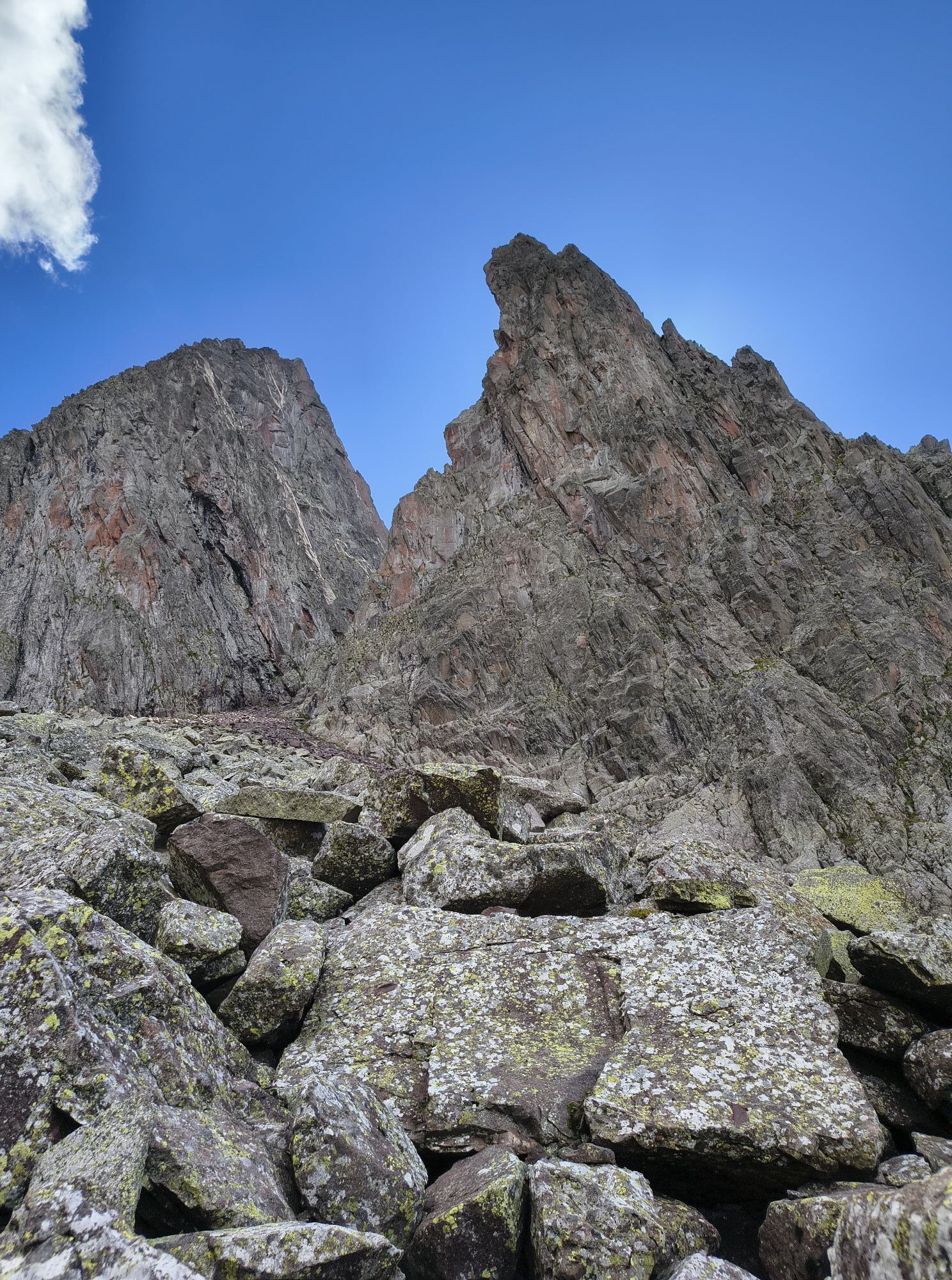
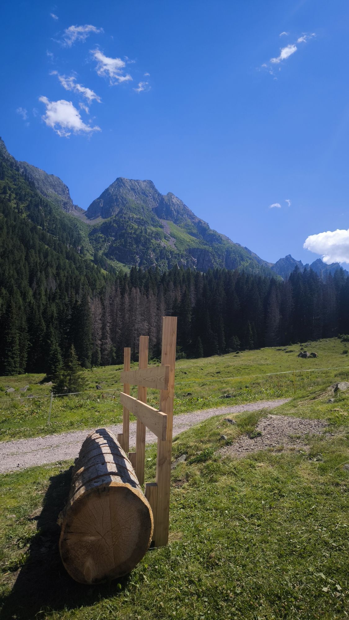
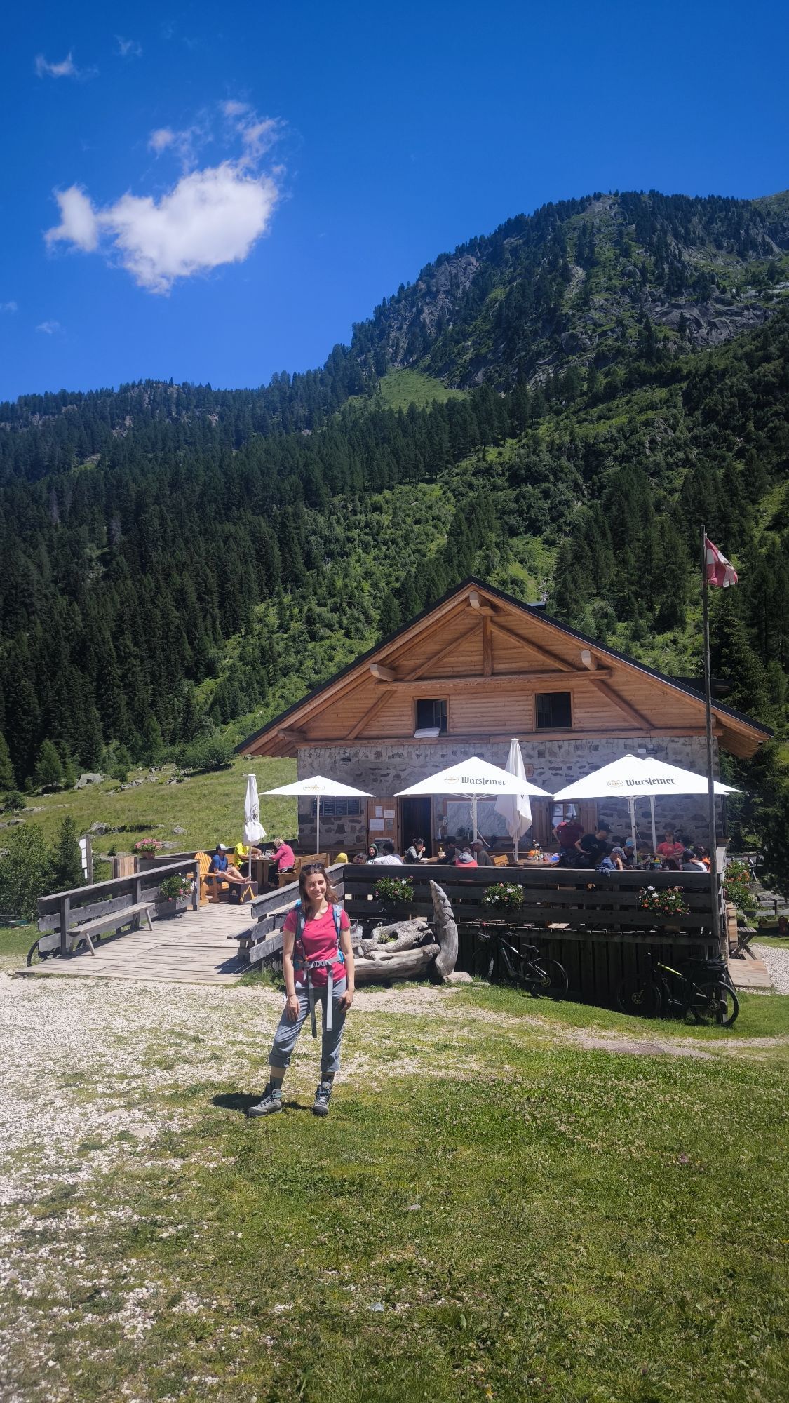
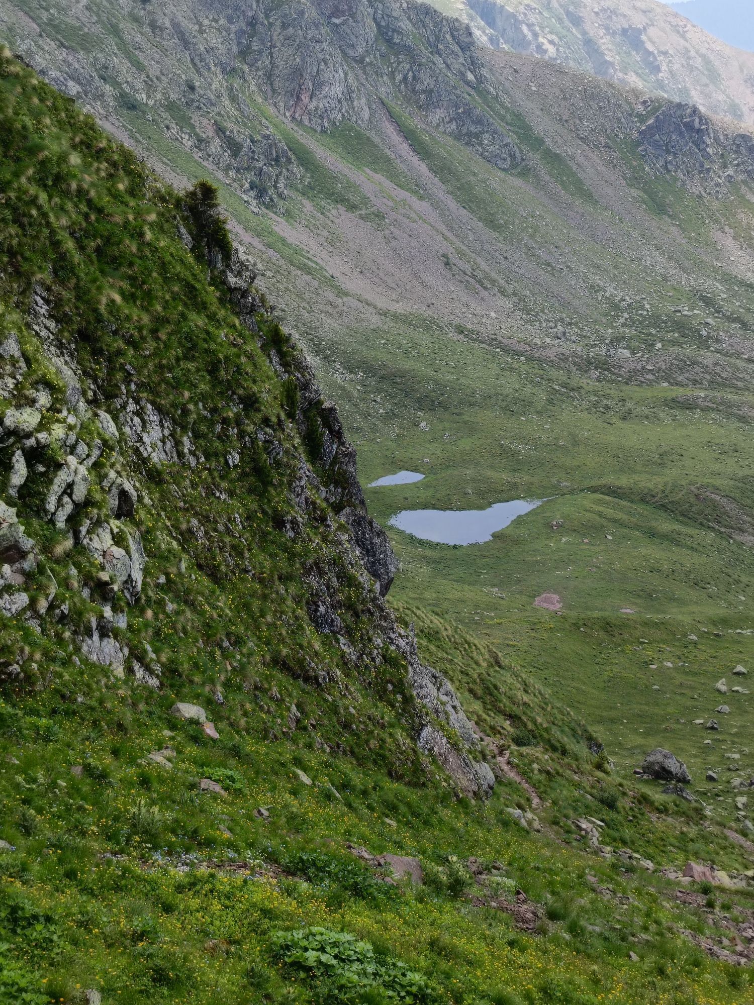
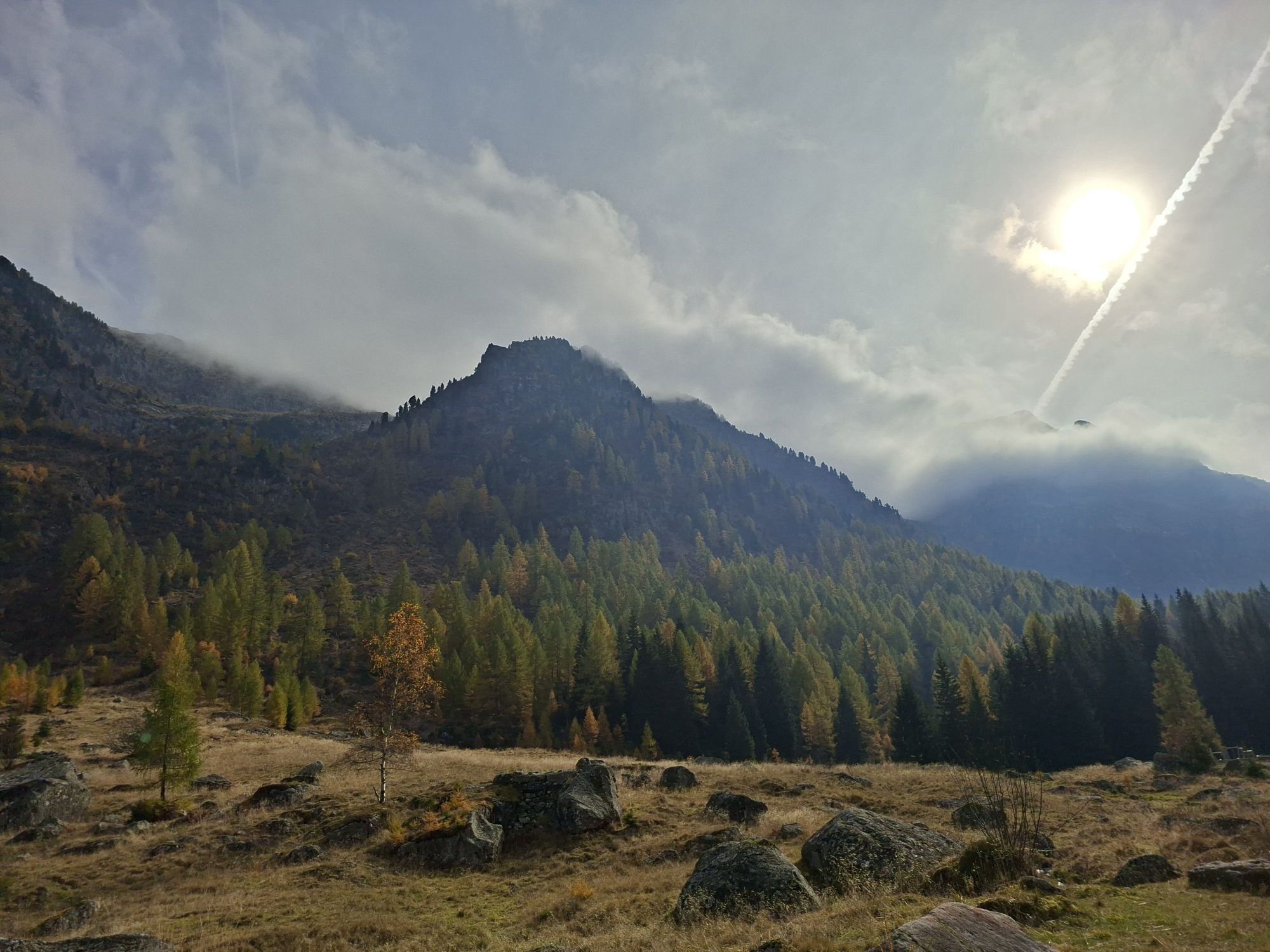
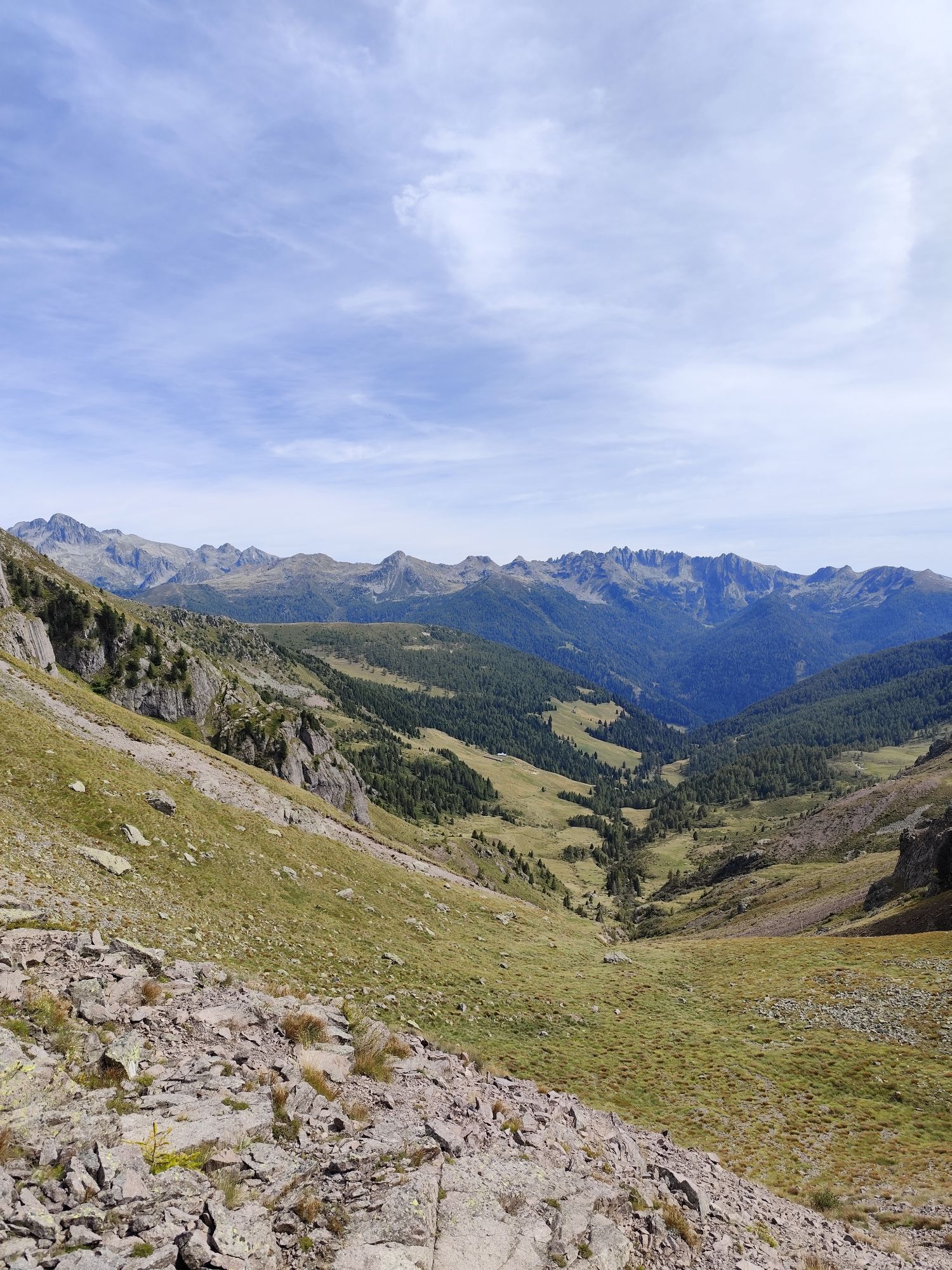
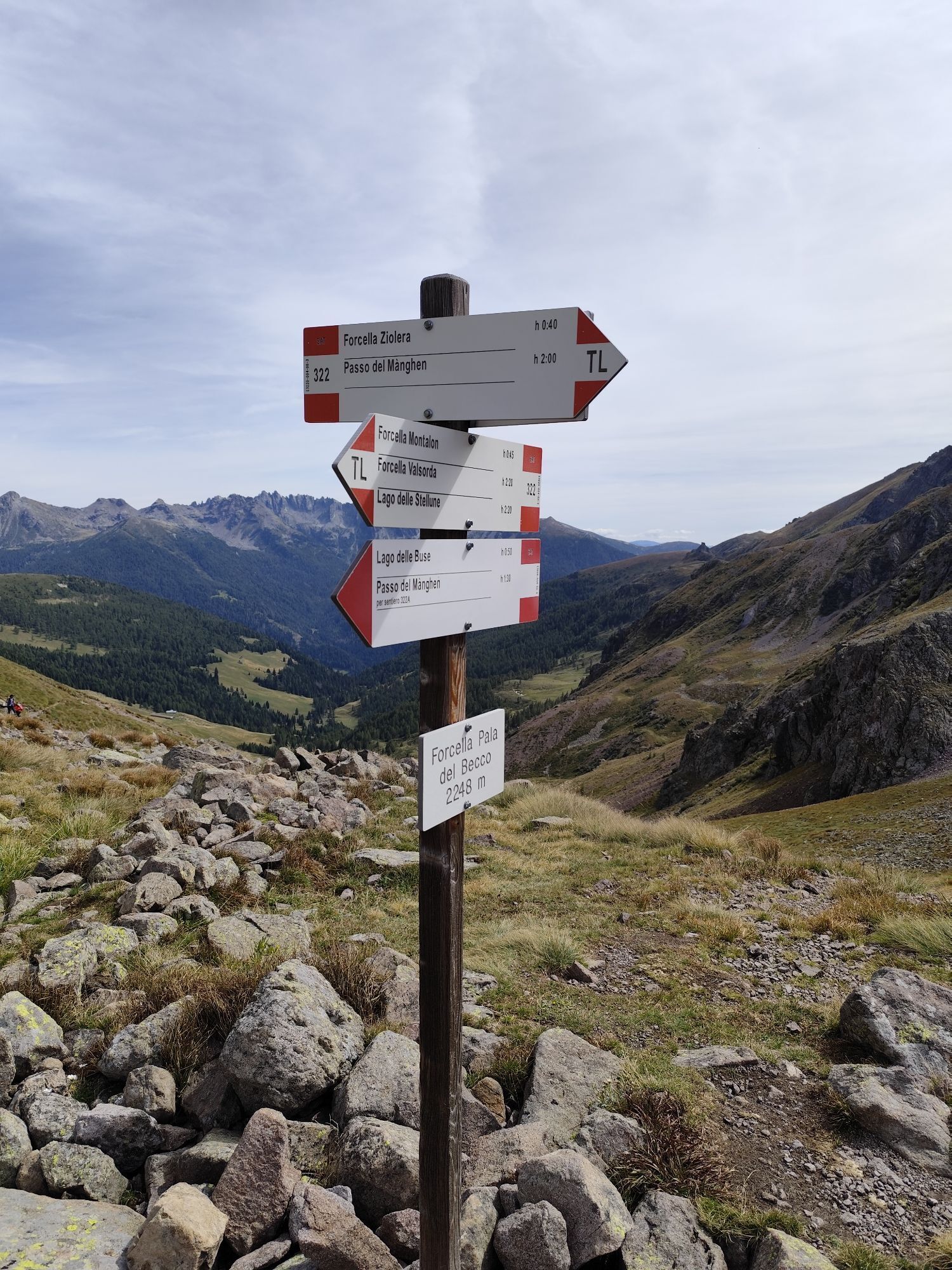
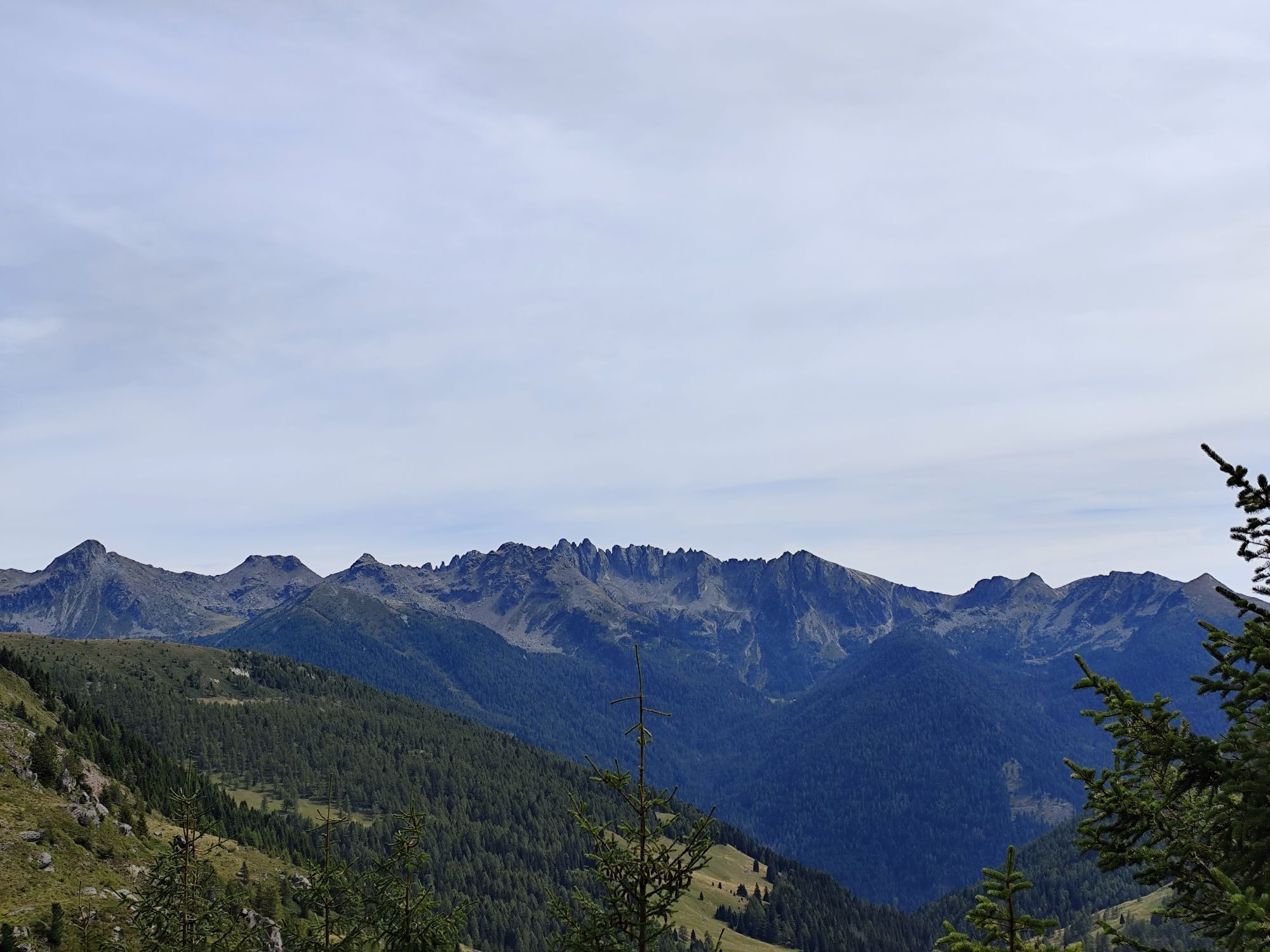
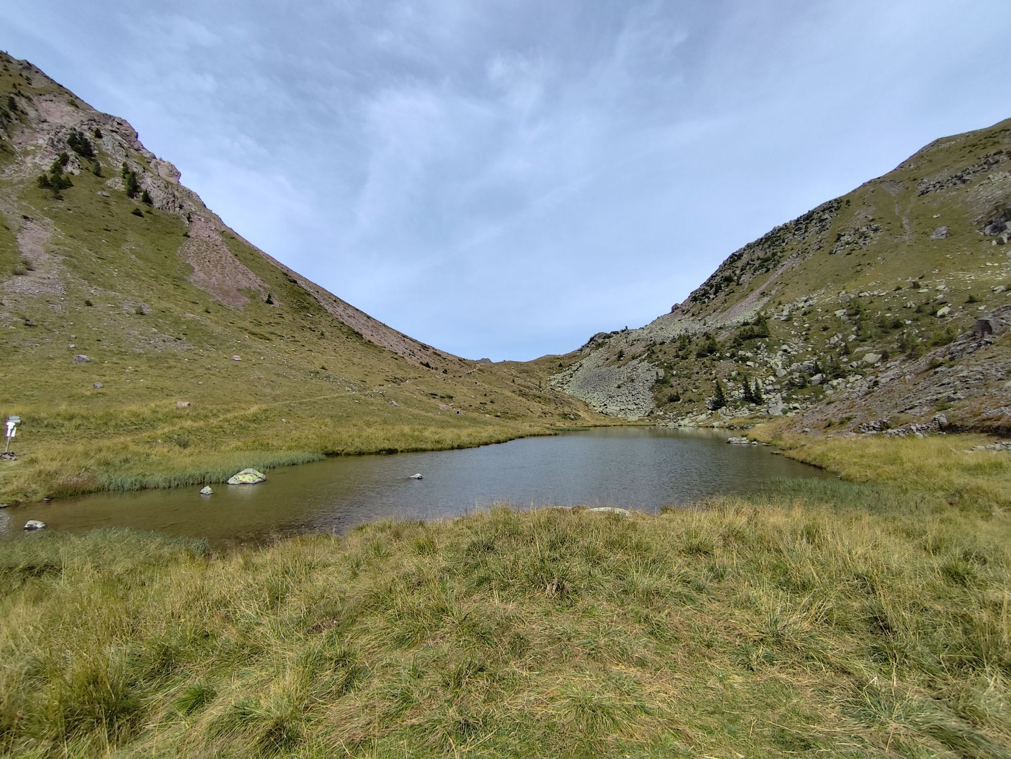
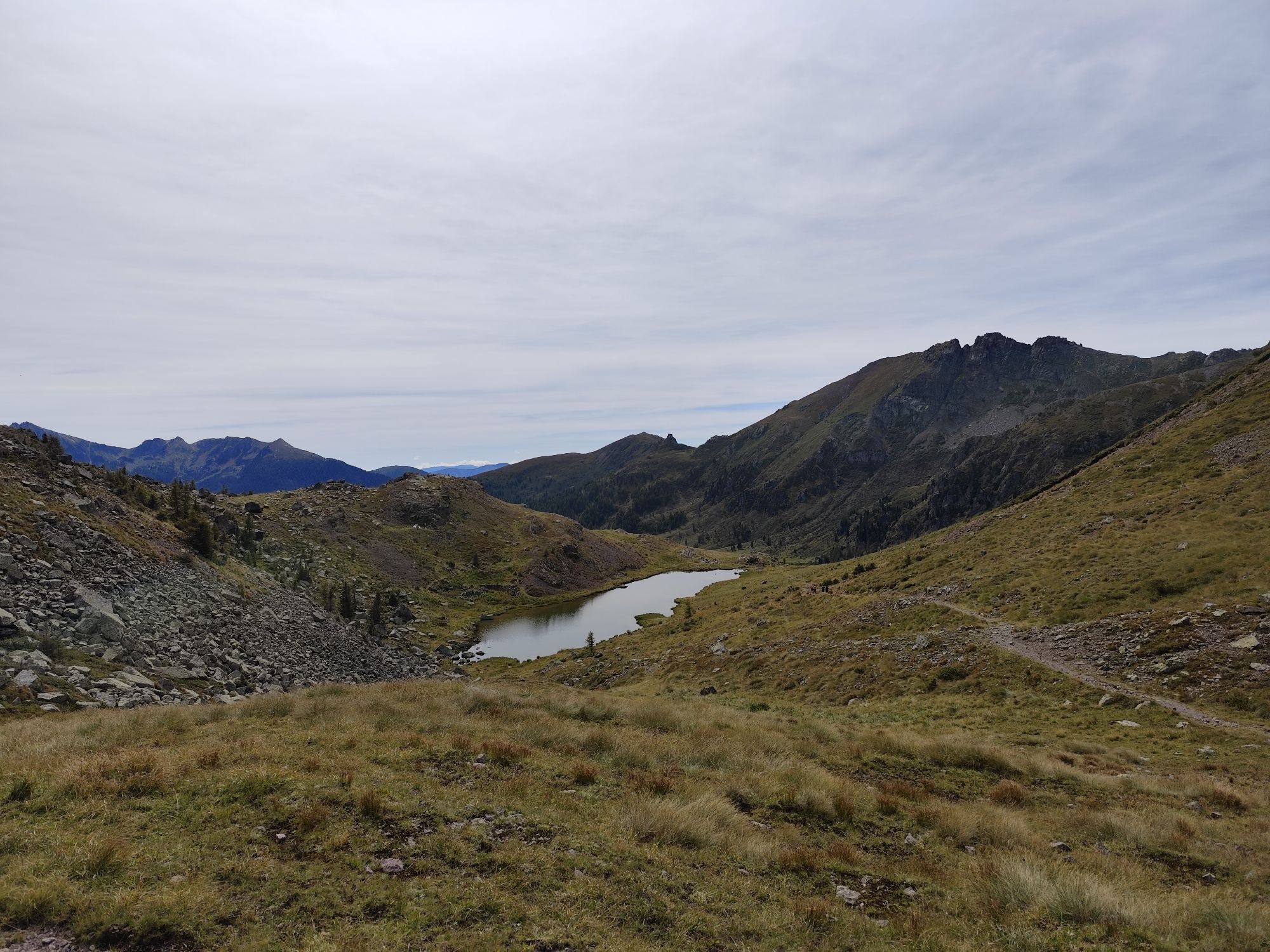
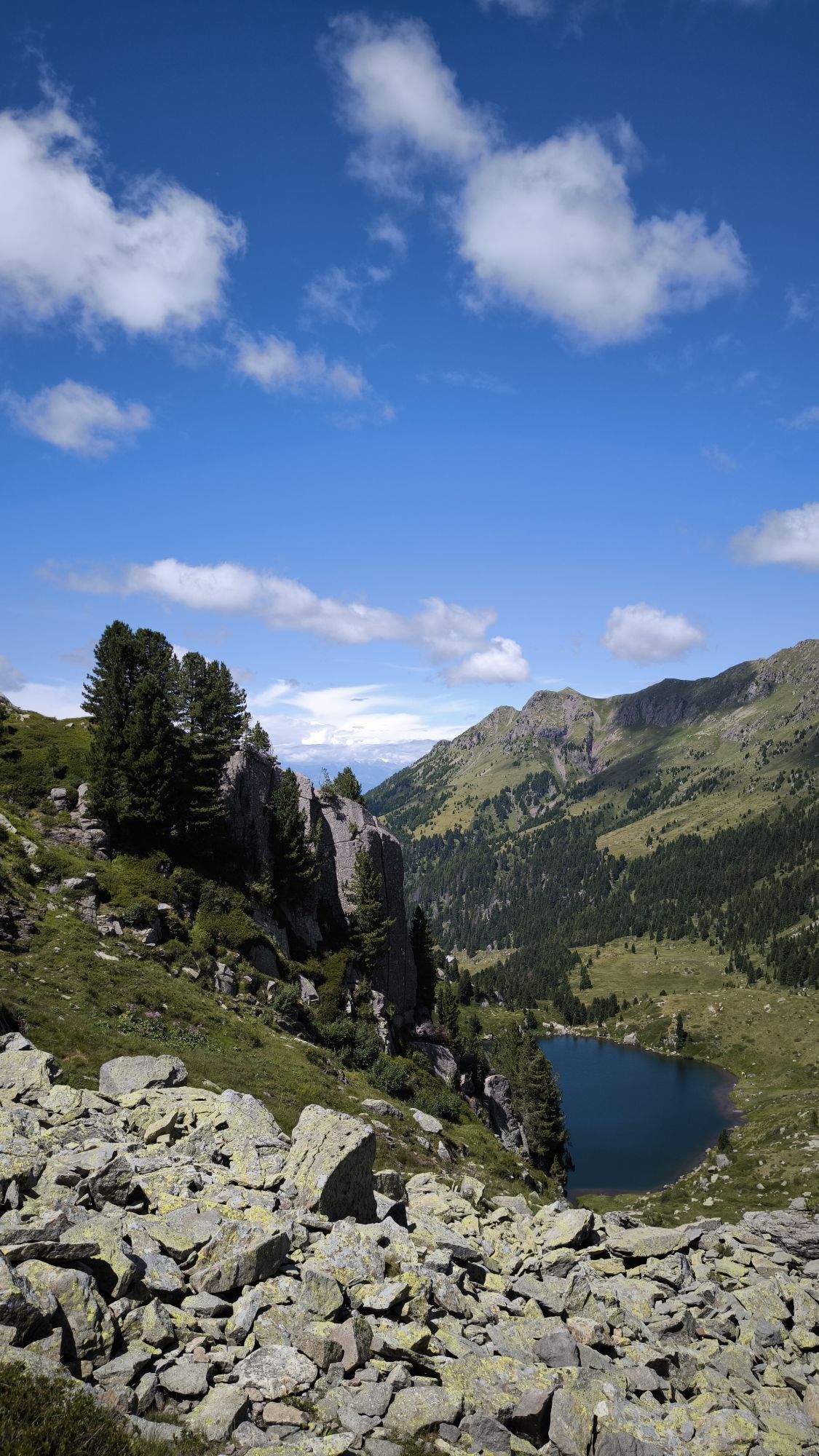
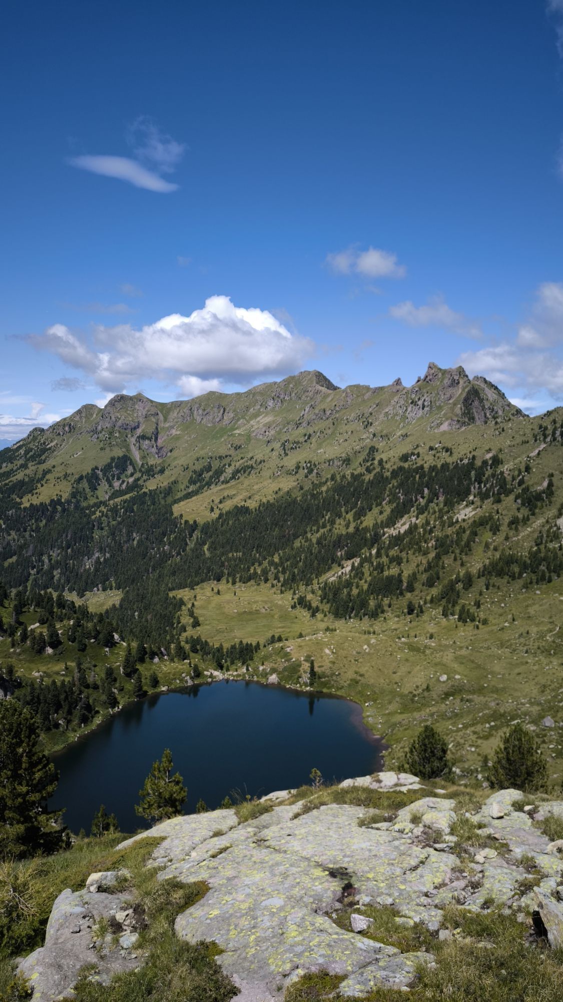
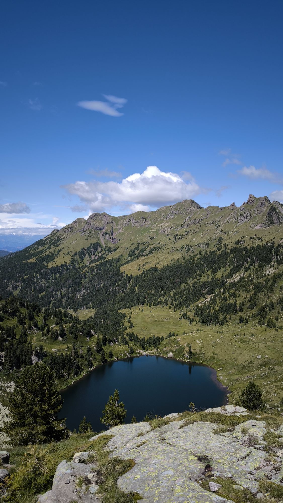

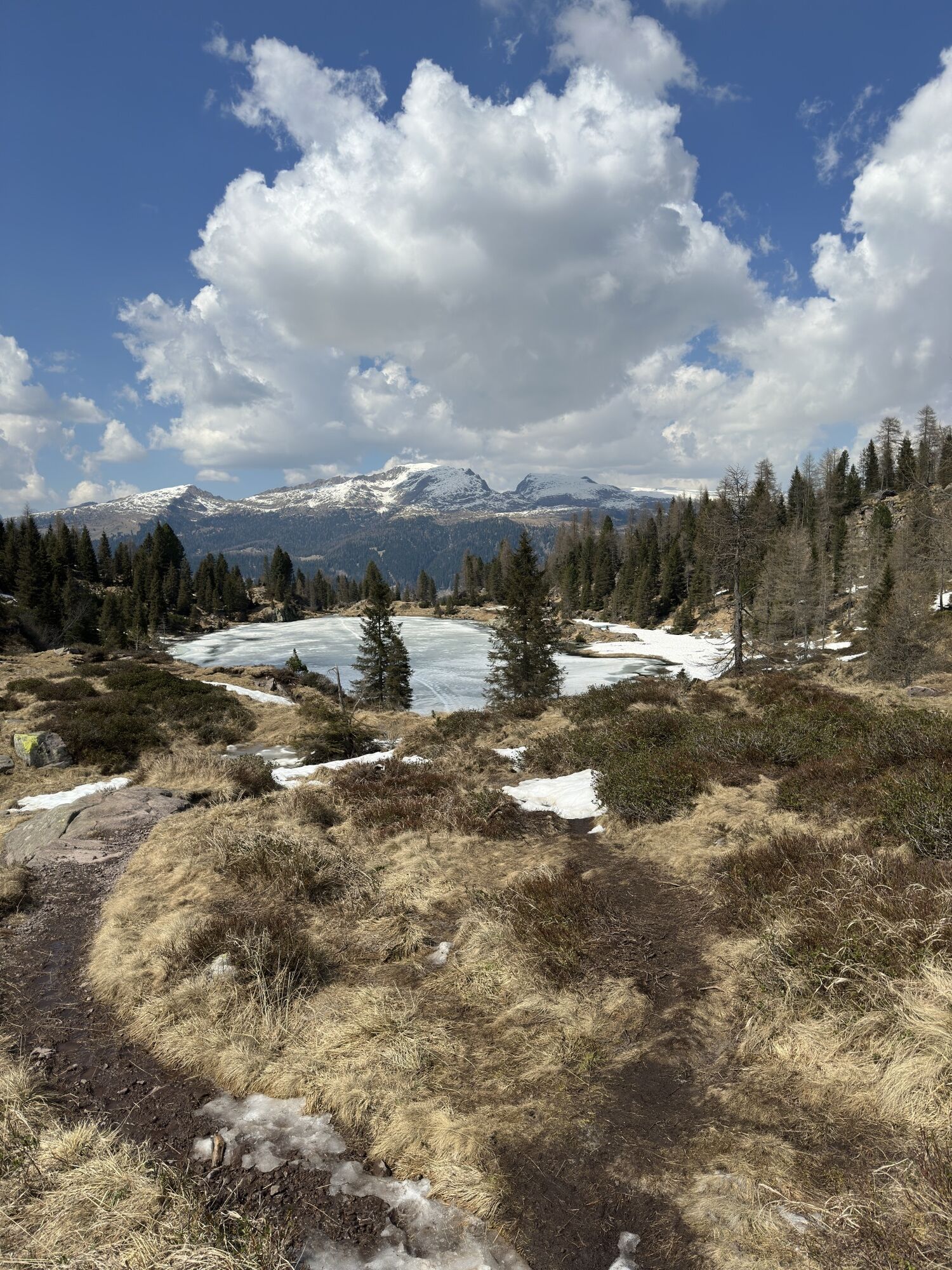
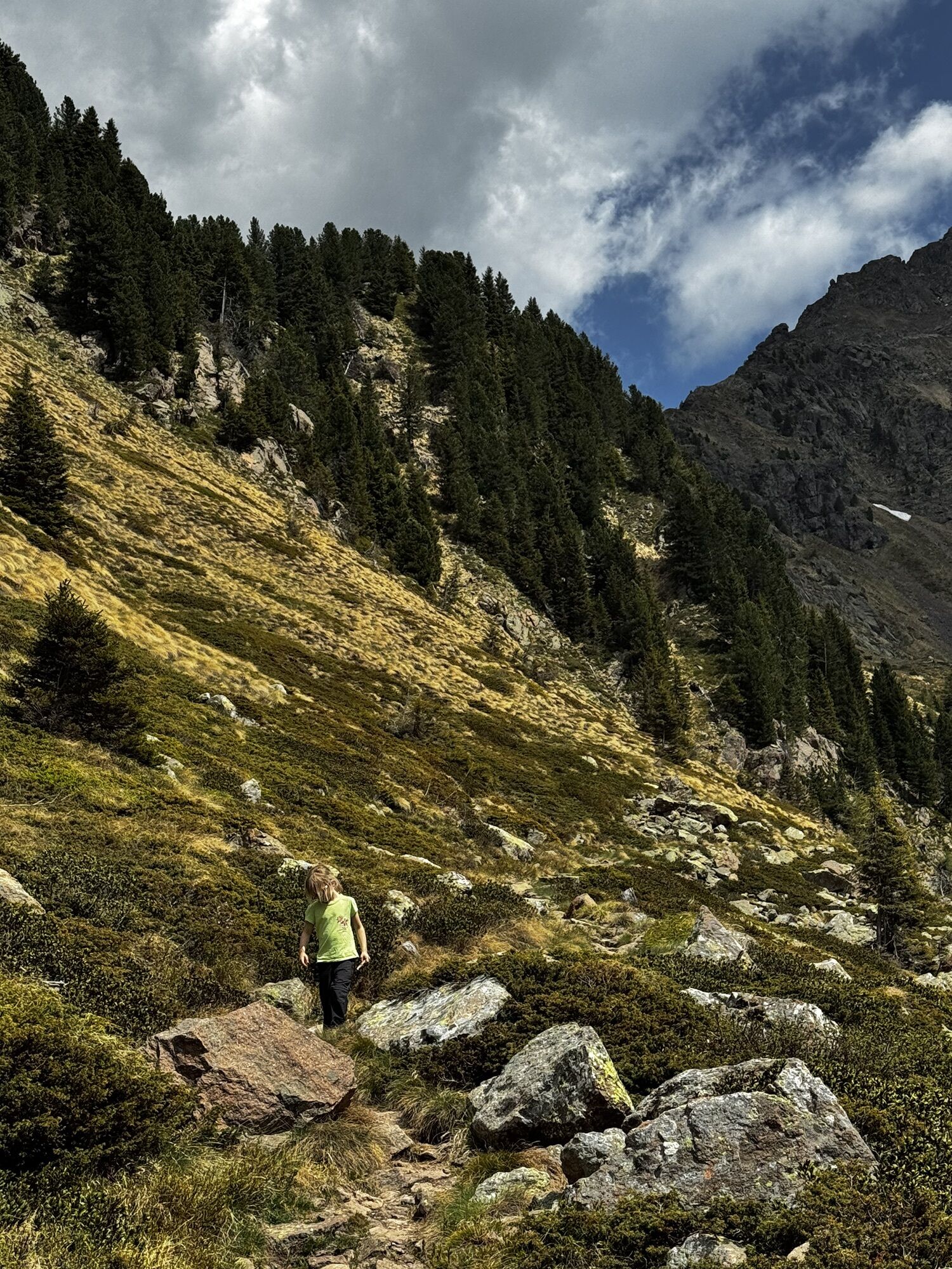
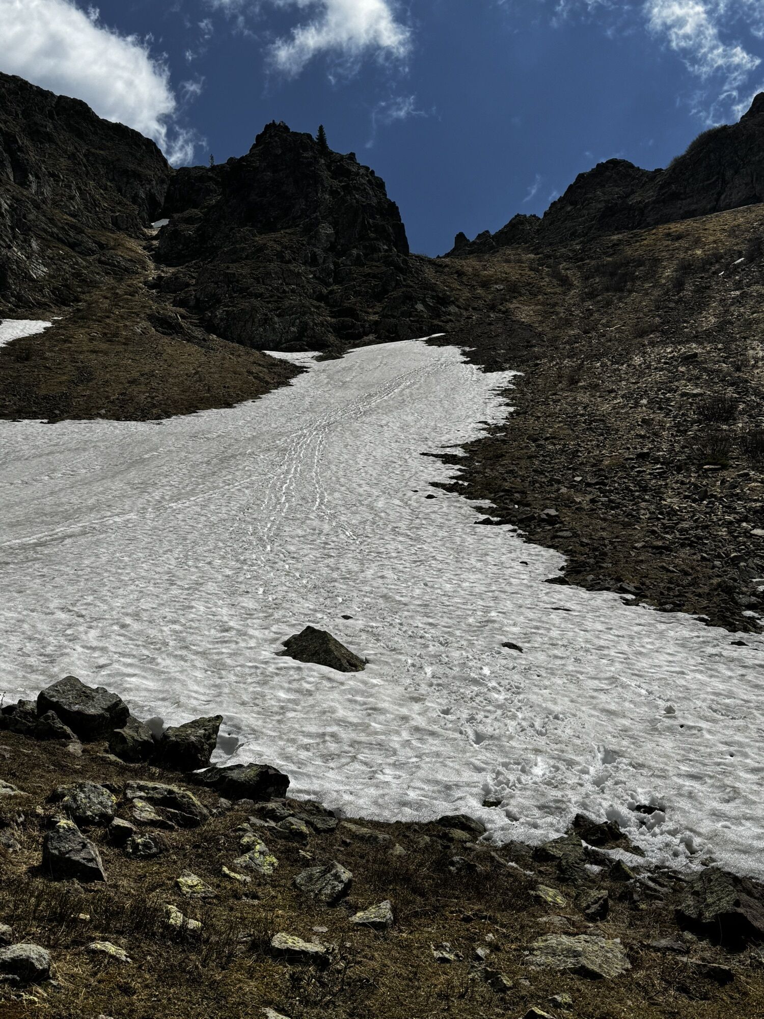
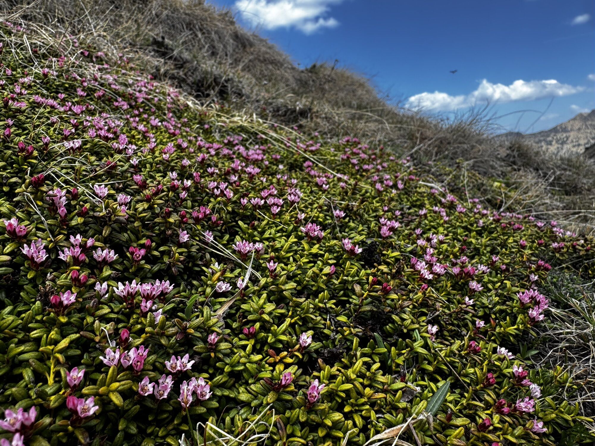
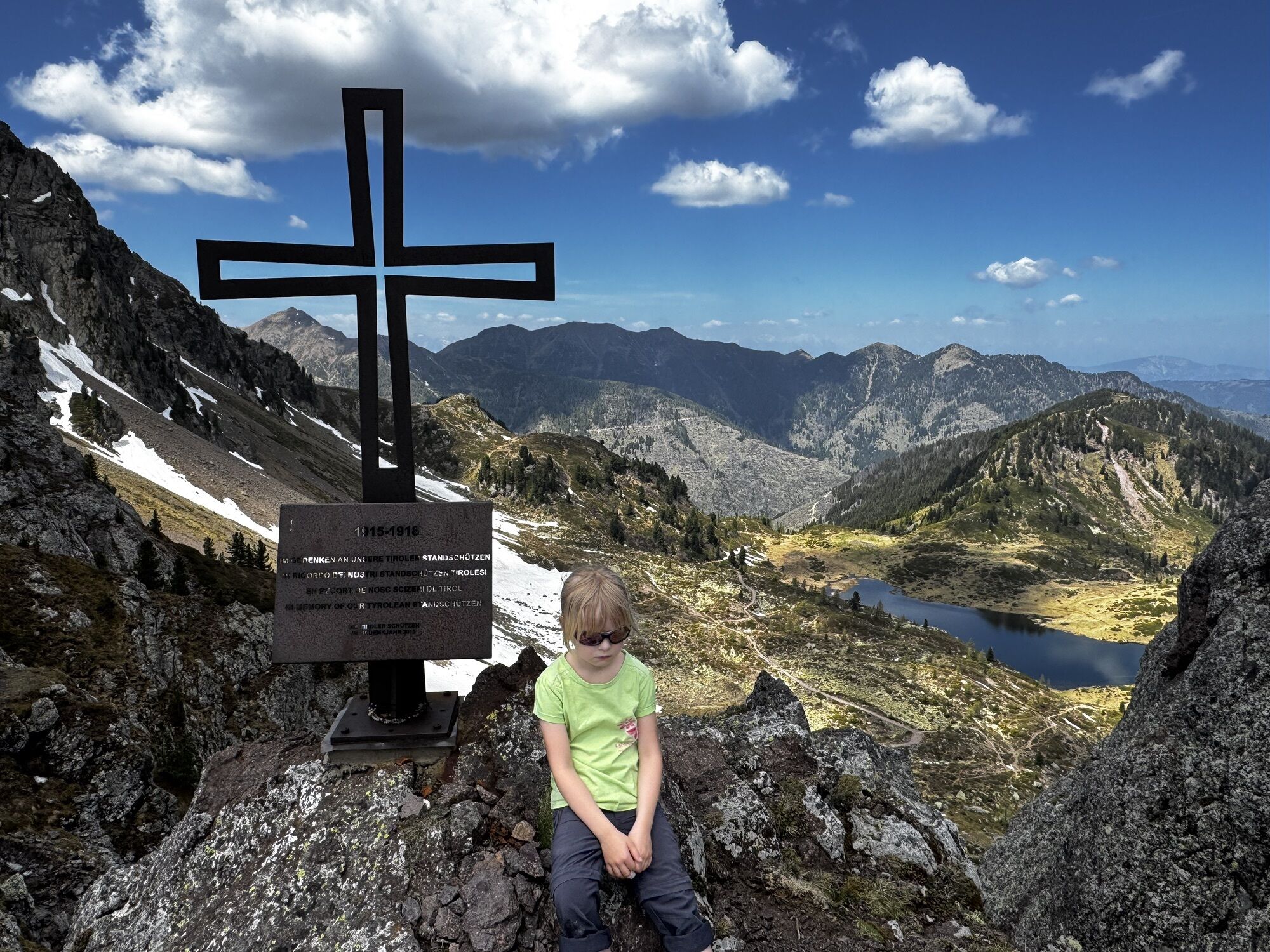
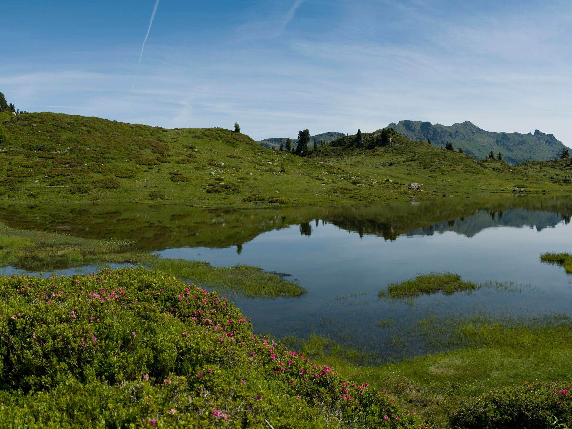
This particular trekking, which unfolds entirely on porphyry rocks, amazes with its range of colors: various shades of green from pastures and trees, the blue of lakes and streams, the pink of rhododendrons...
This particular trekking, which unfolds entirely on porphyry rocks, amazes with its range of colors: various shades of green from pastures and trees, the blue of lakes and streams, the pink of rhododendrons blooming in July contrast with the dark volcanic rock. The last stage of the multi-day route crosses the Paneveggio Natural Park where the resonance firs grow, appreciated even by the famous luthier Stradivari.


WARNING! Bivacco Aldo Moro is not accessible from August 8, 2025, due to bivouac renovation works.
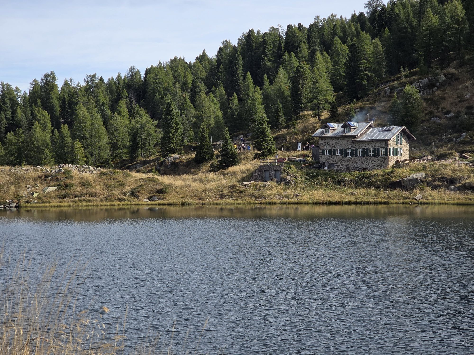
Along the route, there are some alpine huts used for summer grazing and, rarely, other hikers, mostly on day trips. The first night in a tent near the Laghetti del Lagorai immediately offers a total immersion in nature. On the second day, you venture even deeper into the landscape made of rocks and pastures, ending the day in the "comfort" of Rifugio Cauriol. The third night offers 2 options, depending on walking speed. You can choose to stop at Bivacco Paolo e Nicola (recently renovated) or, for the faster ones, continue up to Bivacco Aldo Moro.
Route descriptions in the individual stages:
STAGE 1
STAGE 2
STAGE 3
STAGE 4
Ano
Hiking shoes, waterproof jacket, trekking poles, water, snacks, and sunscreen.
Multi-day hiking equipment, food, tent, and sleeping bag.
THE 10 RULES FOR HIKERS
Study and prepare your itinerary well Choose a route suitable for your physical condition Bring appropriate clothes and equipment Check the weather forecast Starting alone is risky; bring your mobile phone Leave information about your itinerary and approximate return time If unsure, do not hesitate to rely on a professional Pay attention to the signs and markings along the route In case of fatigue or problems, don’t hesitate to turn back In case of accident, call 112As you can imagine, the passability of trails in a mountain environment is strictly linked to current conditions and therefore depends on natural phenomena, environmental changes, and weather conditions. For this reason, the information contained in this sheet may have changed. Before you set off, check the route status by contacting the hut managers on your path, mountain guides, nature park visitor centers, and tourist offices.
From the A22 motorway exit Egna/Ora, take the SS 48 delle Dolomiti towards Cavalese. Then continue to Molina di Fiemme and Passo Manghen by private vehicle or taxi.
Trentino Trasporti regular bus from Passo Rolle towards Predazzo.
At Passo Manghen
T3
MORE INFORMATION:
APT Val di Fiemme - Tel. +39 0462 241111 - info@visitfiemme.it - www.visitfiemme.it

Oblíbené prohlídky v okolí
- 4.9
Torre di Pisa mountain hut
středníTuristika 9.09 km - 4.5
Cavallazza Peak
středníTuristika 7.82 km - 5.0
Latemar Umrundung - die Kurze und Bequeme
středníTuristika 12.1 km - 4.9
Latemar.Panorama
světloTematická stezka 7.83 km - 4.8
Tour of Monte Cornon
středníTuristika 7.65 km - 4.8
Latemar Panorama
středníTuristika 11.7 km - 4.9
Cima d’Asta (vetta via normale)
středníTuristika 17.5 km - 4.2
The three lakes
středníTuristika 11.1 km - 4.5
Tour of Lusia Lakes
středníTuristika 13.0 km - 2.8
Wanderung zur Latemarhütte
středníTuristika 7 km
Pěší turistika a stopování


Nenechte si ujít nabídky a inspiraci pro vaši příští dovolenou
Vaše e-mailová adresa byl přidán do poštovního seznamu.





