


Biberwier - Wiesenweg
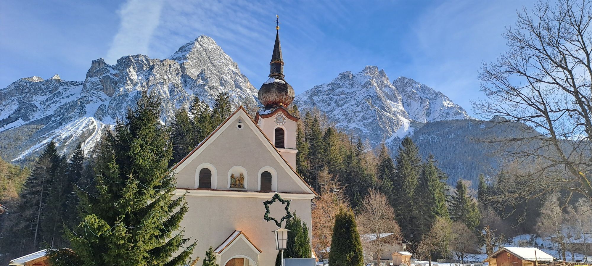
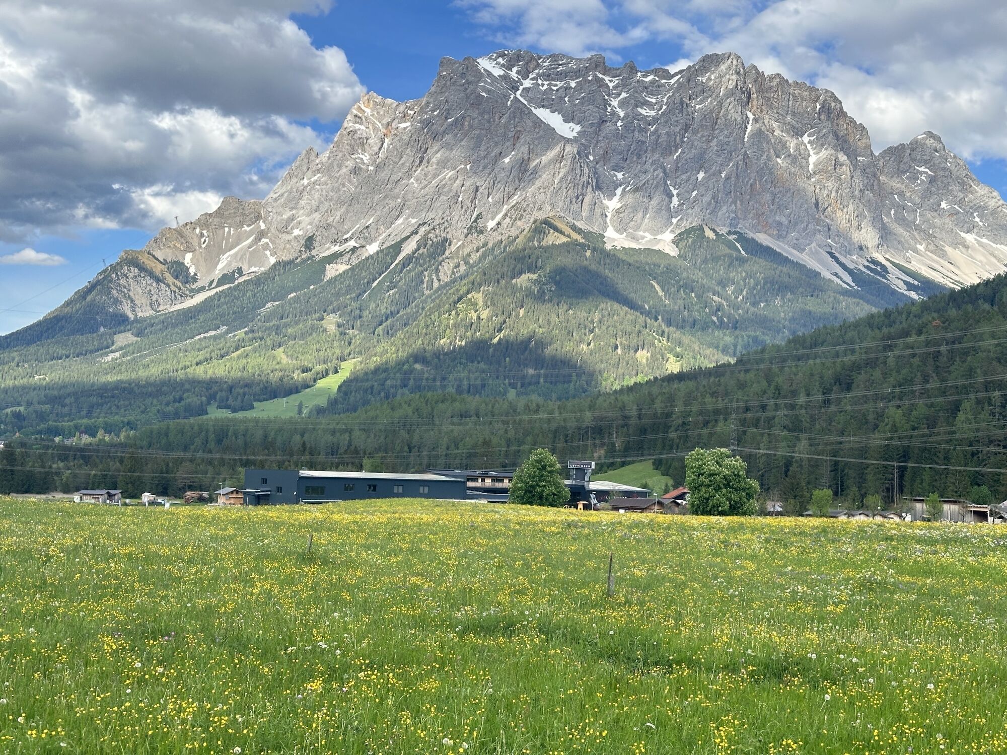
You start the hike left behind the curch and follow the sign "Wiesenweg- Rochuskapelle". Then follow the narrow path to the riding-stable "Loisachhof", and turn left there. Now you reach the wide, cleared...
You start the hike left behind the curch and follow the sign "Wiesenweg- Rochuskapelle". Then follow the narrow path to the riding-stable "Loisachhof", and turn left there. Now you reach the wide, cleared forest path in the direction of Ehrwald. Pass the Camping Biberhof until you reach the main road. Continuing you can cross the road and follow the "Moos" path to Ehrwald- Lermoos or walk back the same way.
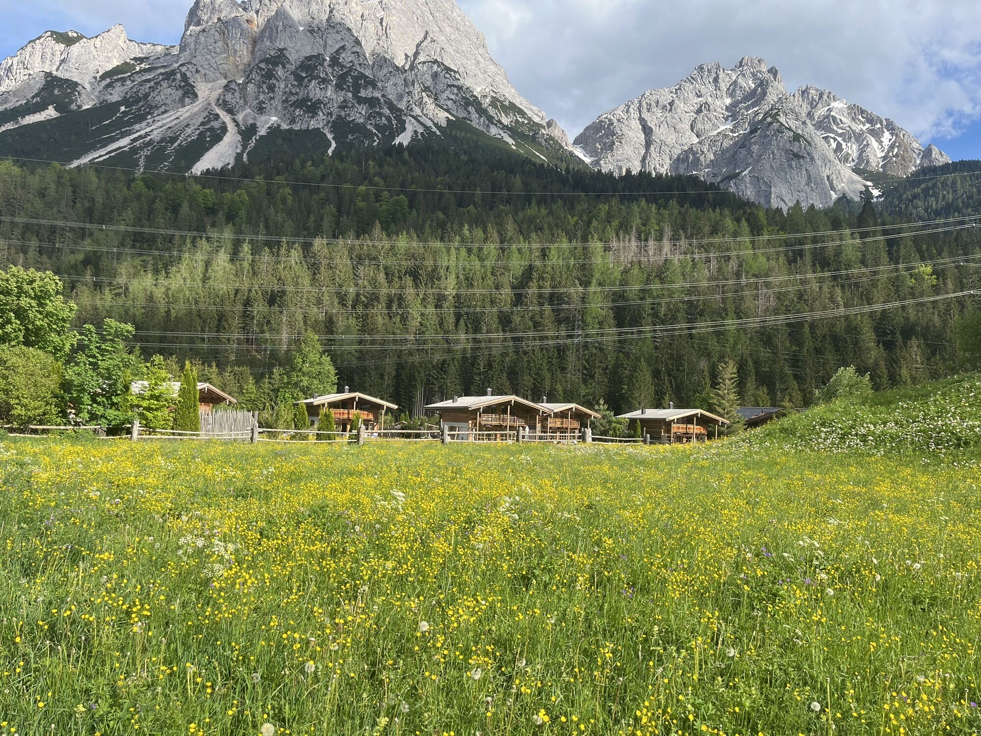
Biberwier- Ortsteil Schmitte
maps.zugspitzarena.com
Karte "Loipen und Winterwanderwege" im Tourismusbüro Biberwier erhältlich.
● Do not leave prepared and marked winter hiking trails (winter alpine dangers)
● Note avalanche warning
● Alpine emergency call: 140
Webové kamery z prohlídky
Grubig Alm
Ehrwalder Alm
Marienberg
Tiroler Zugspitze - Golf-Anlage
Lermoos
Coburger Hütte
Ehrwald Wettersteinbahnen
Wettersteinbahnen
Wettersteinbahnen - Gamsalm Ehrwald
Ehrwald Gaistal
Grubigstein
Ehrwald - Almbahn
Tirolerhaus Ehrwald
Issental Tal
Lermoos - Hotel Post
Hochmoos Express Berg
Familyjet Tal
Mittelstation Biberwier
DSB Berg Biberwier
Ehrwald-Lermoos - Golfclub Zugspitze
Ehrwalder Wettersteinbahnen - Sonnenhangbahn Bergstation
Grubigstein
Grubigstein
Grubigstein
Grubigstein
Grubigstein
Grubigstein
Obergarten
Ehrwald Gaistal
Ehrwalder Alm
Familyjet Tal
Oblíbené prohlídky v okolí
- 4,8
Thaneller
středníTuristika 4,90 km - 4,2
Höllentalklamm
středníTuristika 5,53 km - 5,0
Zugspitze via Höllental
heavyVia ferrata 16,1 km - 4,9
Sebensee/ Coburger Hütte
středníTuristika 18,7 km - 4,8
Zugspitze
heavyTuristika 8,45 km - 4,8
Zugspitze über Stopselziehersteig
heavyTuristika 12,2 km - 4,8
Höllentaler Rundtour
středníTuristika 12,4 km - 4,8
Ehrwald - Hoher Gang - Seebensee - Drachensee - Coburger Hütte
heavyHorská turistika 14,6 km - 3,6
Rundwanderung Plansee
středníTuristika 9,80 km - 4,7
Hönig over the Älplestal-valley
středníTuristika 11,6 km
Pěší turistika a stopování


Nenechte si ujít nabídky a inspiraci pro vaši příští dovolenou
Vaše e-mailová adresa byl přidán do poštovního seznamu.